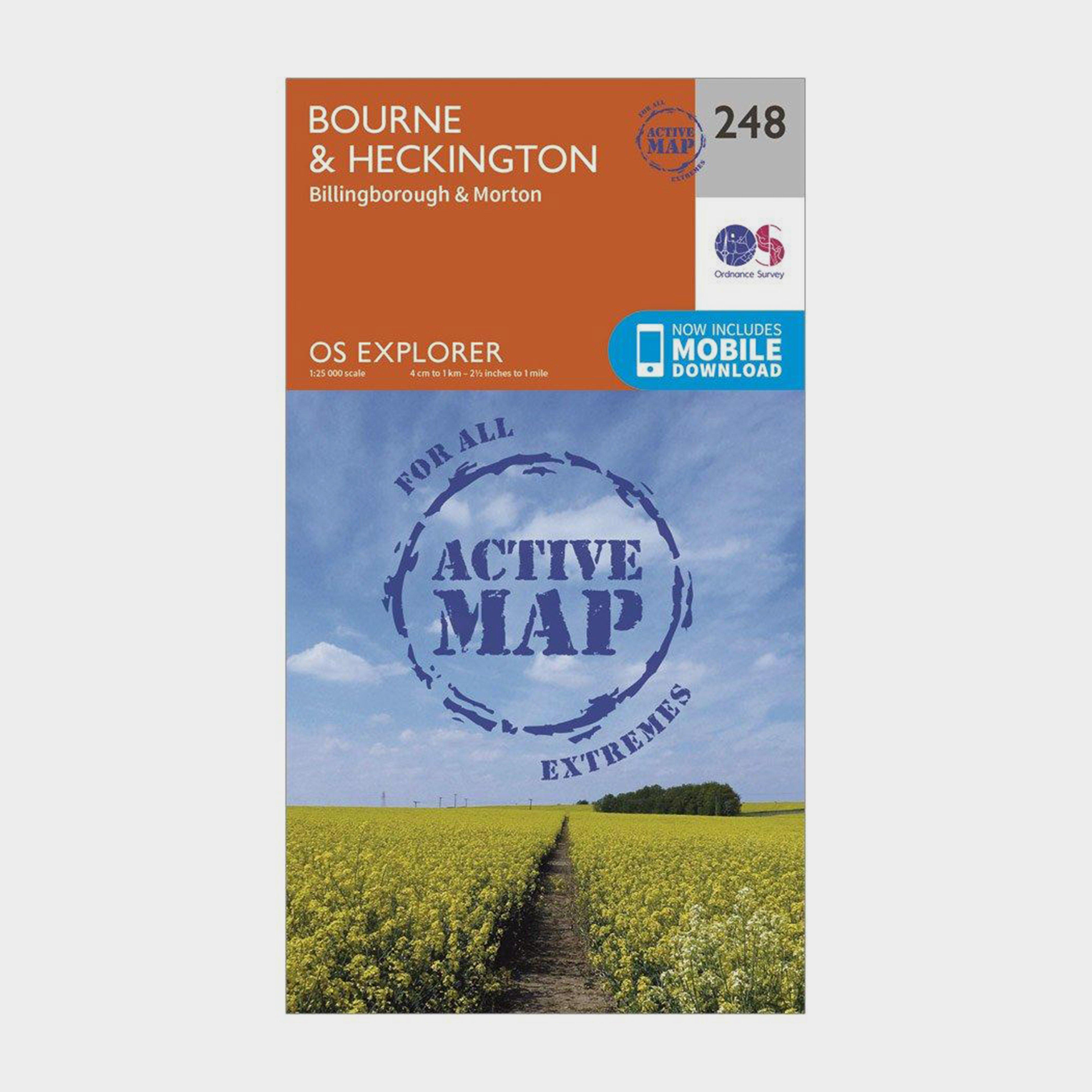
Providing complete GB coverage, the OS Explorer map series details information essential in the great outdoors, including youth hostels, pubs and visitor information. Rights of way, fences, permissive paths and bridleways are clearly shown, ensuring you have the best information to get the most out of...
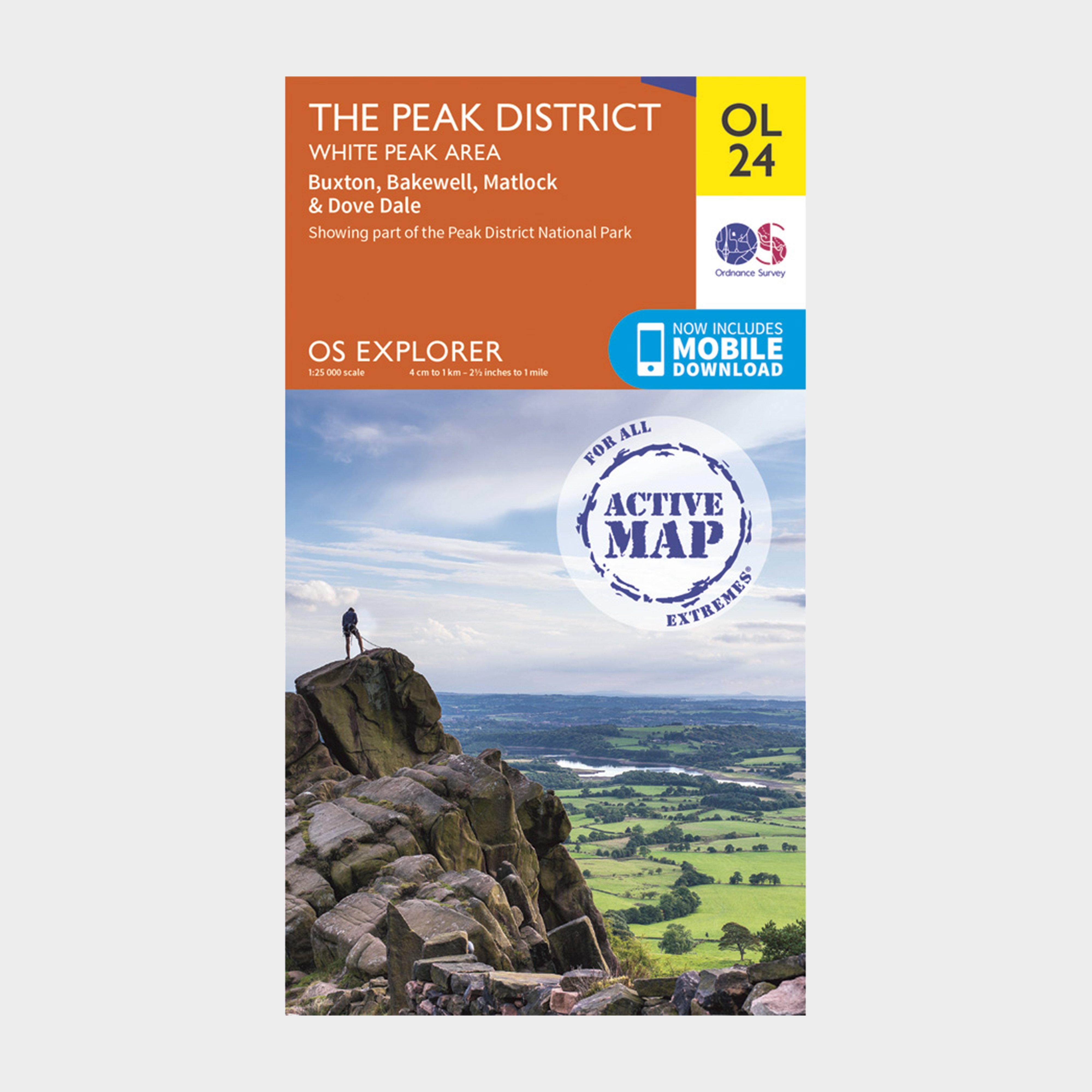
Ordnance Survey Active Explorer Ol 24 The Peak District (White Peak Area) Map - Orange, White
Providing complete GB coverage, the OS Explorer map series details information essential in the great outdoors, including youth hostels, pubs and visitor information. Rights of way, fences, permissive paths and bridleways are clearly shown, ensuring you have the best information to get the most out...
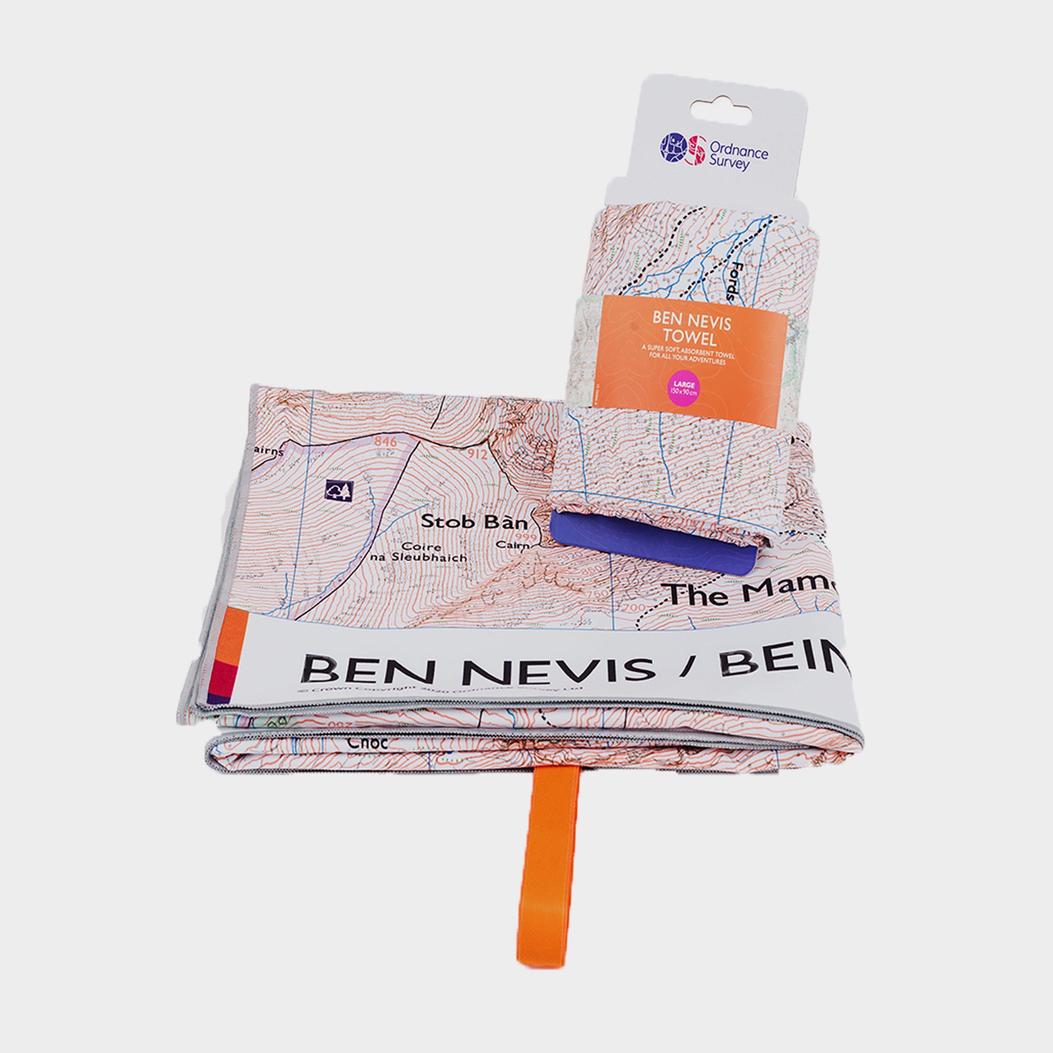
Ordnance Survey Ben Nevis Large Travel Towel - Orange, Orange
Features 1:25,000 mapping of Ben Nevis, printed extra largeComposition: 66% polyester made from 8.7 recycled bottles and 34% polyesterSoft fibre- extra soft-feel fabricLightweight, ultra-compact and highly absorbentDimensions open: 150cm x 90cmAbsorbs 9x its own weight in waterDries 8x quicker than a...
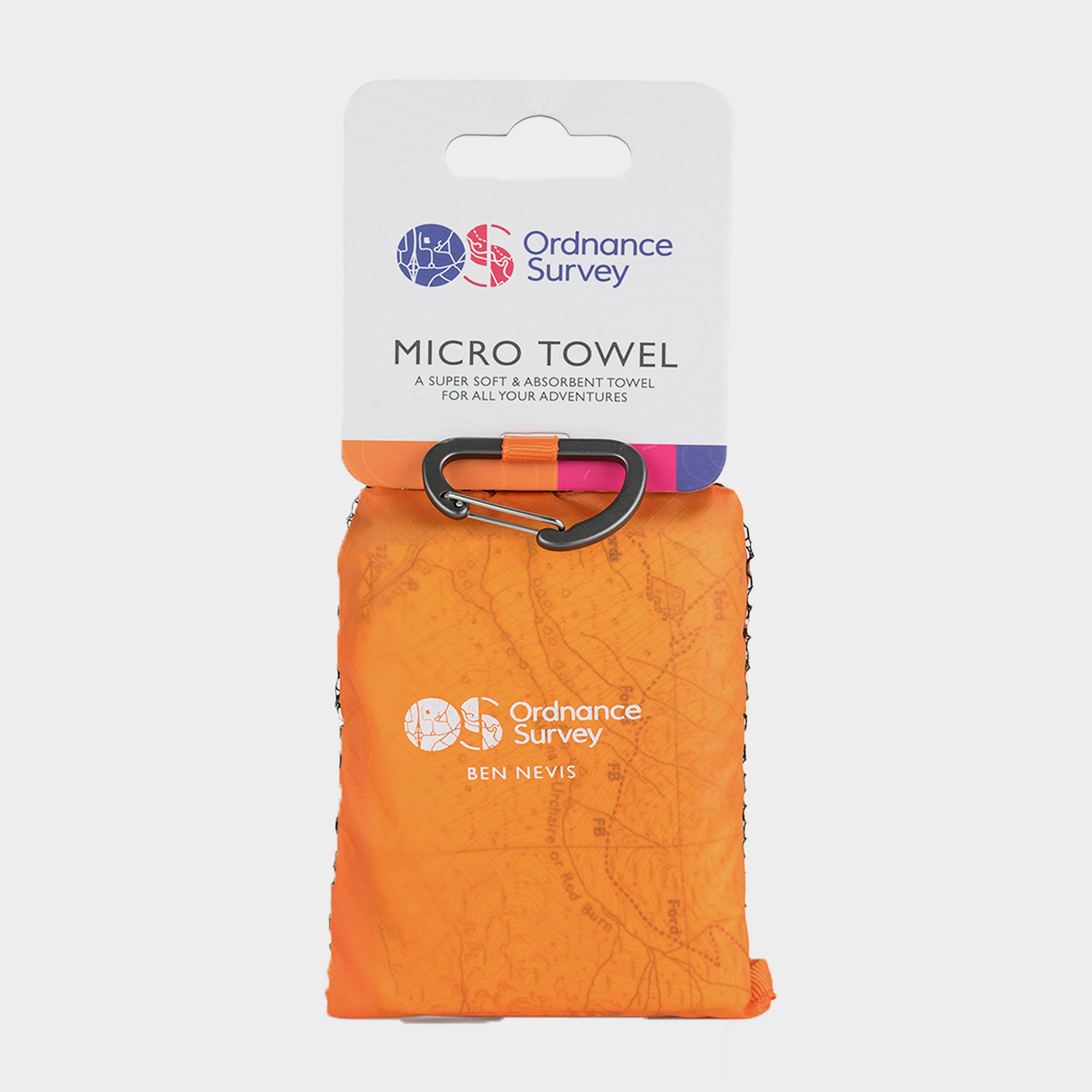
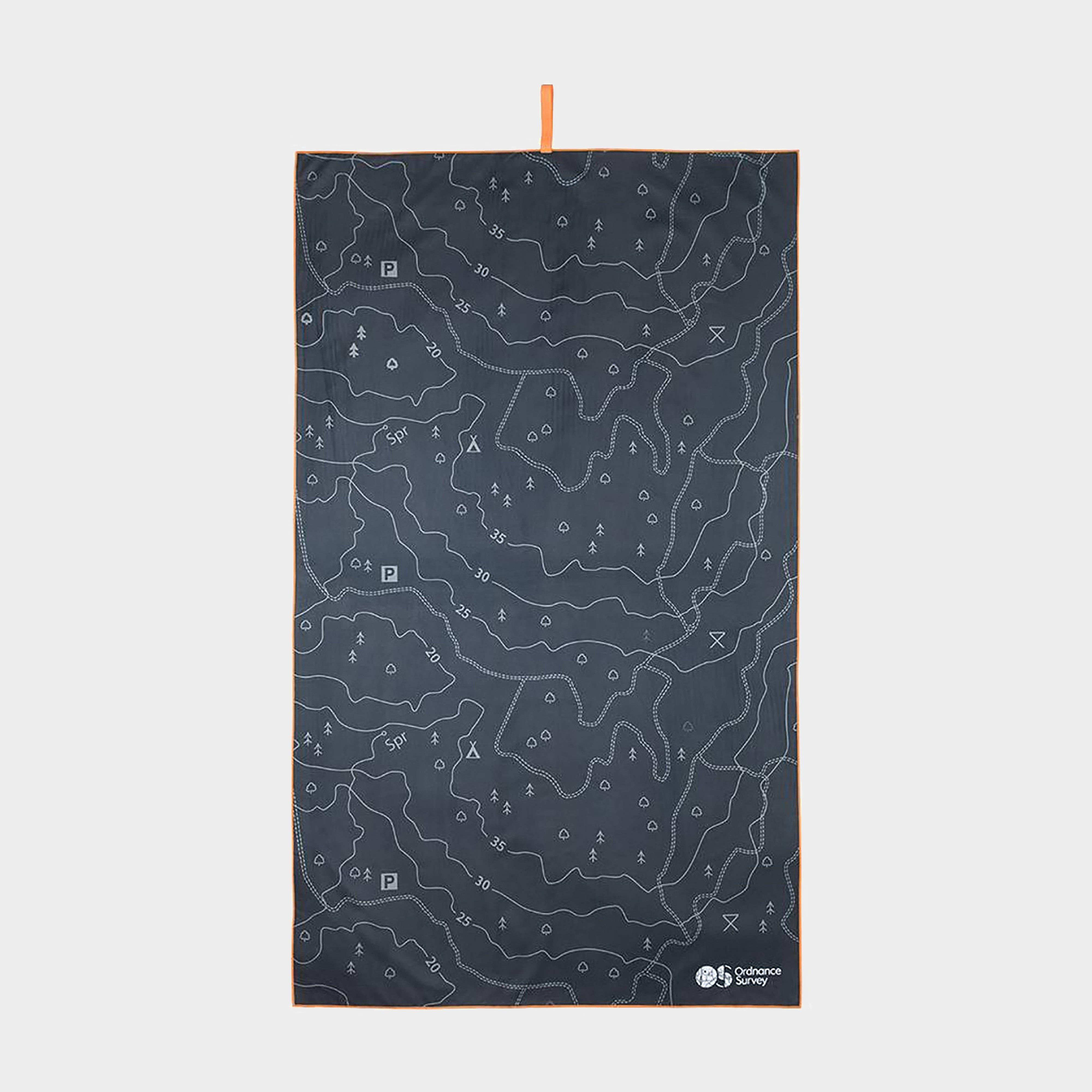
Ordnance Survey Ben Nevis Micro Towel - Orange, Orange
Soft fibre fabricLightweight, ultra-compact, and highly absorbentTreated with Polygene permanent odour controlDries 8x faster than a standard beach towelAbsorbs 9x its own weight in waterComes in a tough ripstop carry bagTravel towels available in 3 map designs of the “3 peaks”Wash separately at...
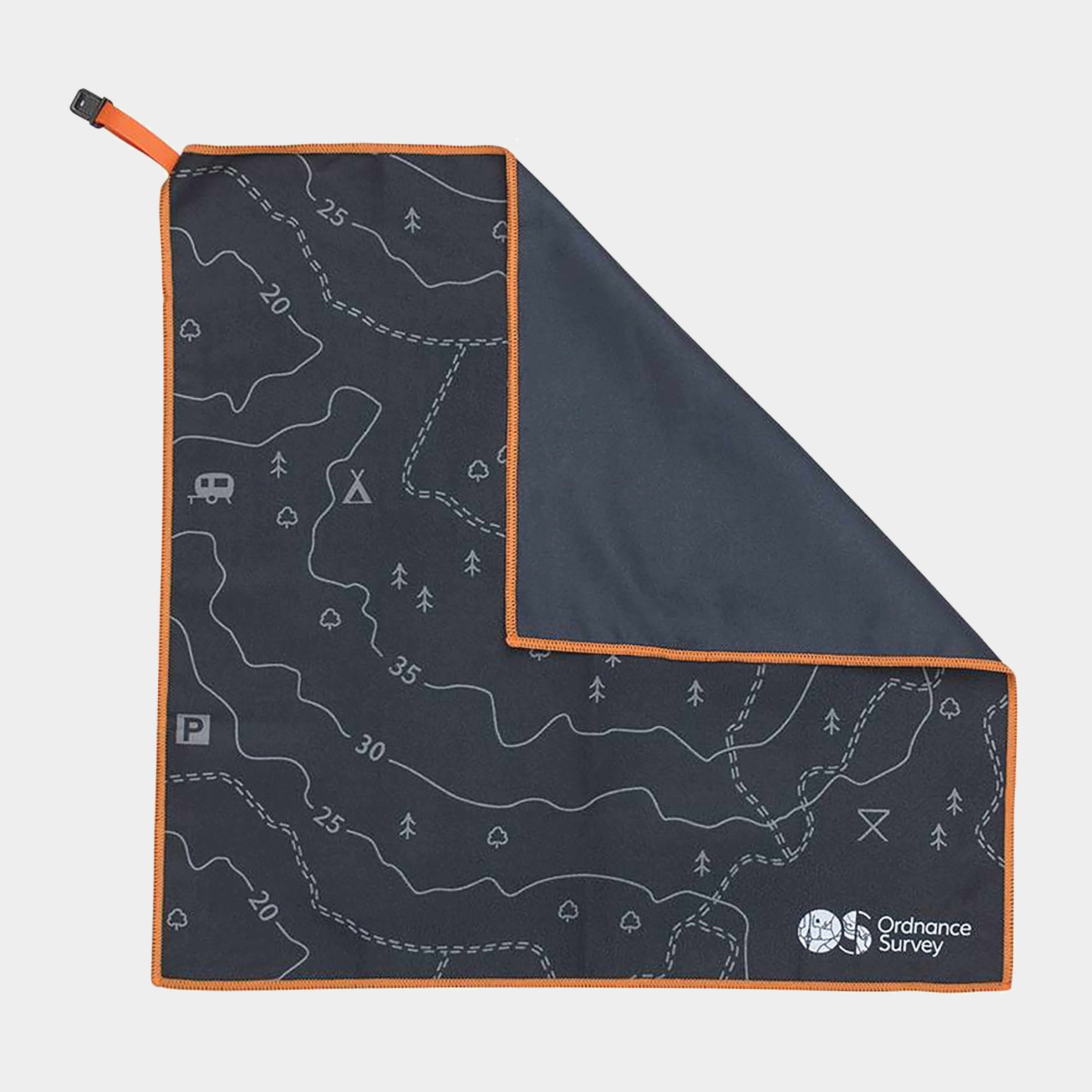
Ordnance Survey Contour Microfibre Large Towel - Black, Black
This super soft and absorbent microfibre towel fits neatly in your pocket or rucksack, made using Polygiene anti-odour technology to stay smelling fresher for longer.Microfibre towelPolygiene anti-odour technologyMap contour designSize: LargeWeight: 288gDimensions: 150 x 90cm
Ordnance Survey Contour Microfibre Small Towel - Black, Black
This super soft and absorbent microfibre towel fits neatly in your pocket or rucksack, made using Polygiene anti-odour technology to stay smelling fresher for longer.Microfibre towelPolygiene anti-odour technologyMap contour designSize: SmallWeight: 35gDimensions: 37 x 37cm_
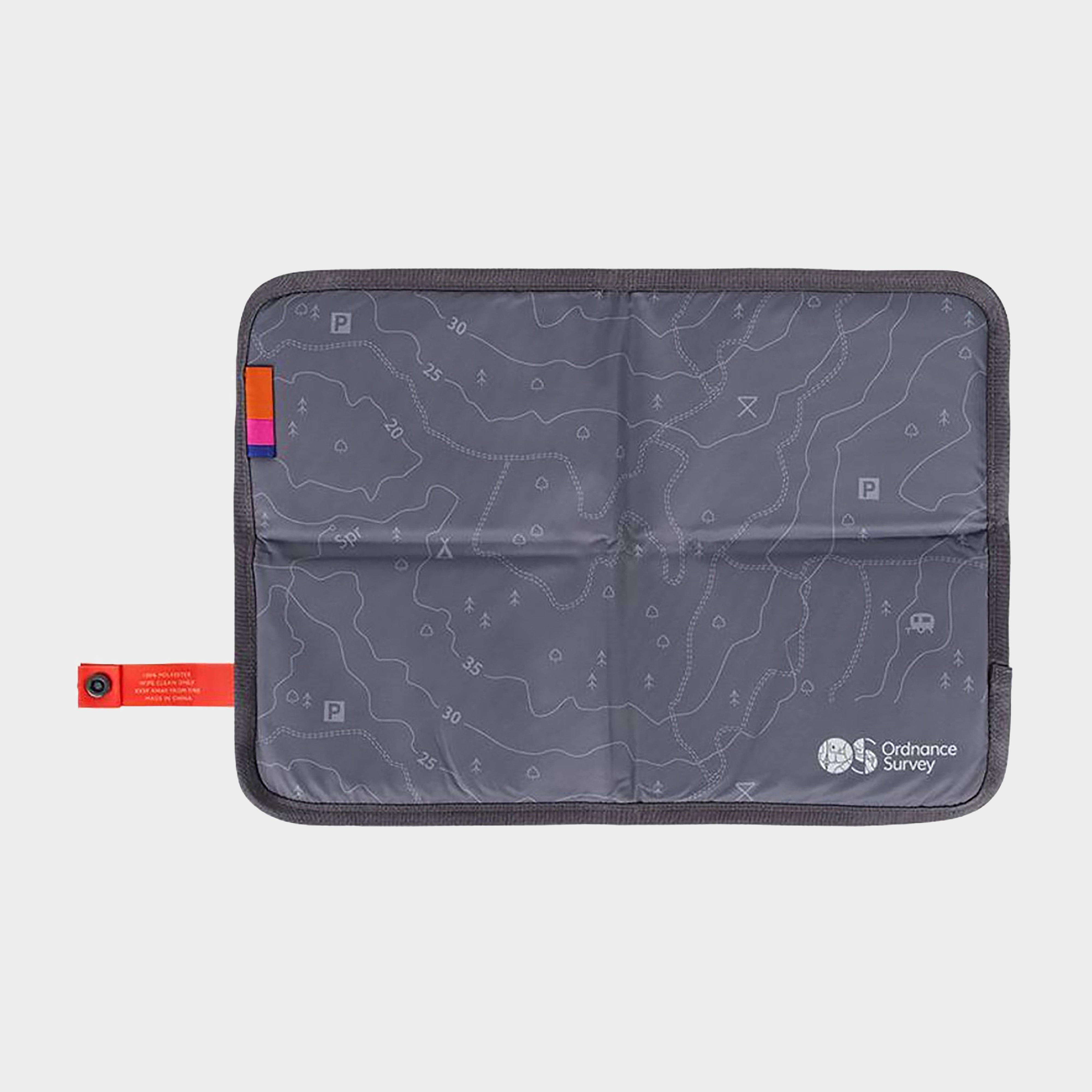
Ordnance Survey Contour Sit Map - Black, Black
Made with a waterproof covering and stylish contour design, this padded sit mat provides a comfortable seat wherever your adventures take you. When you're back on your feet, simply fold up the mat and store it in your backpack.Sit matPaddedWaterproofPolyester coveringPress stud closureFold to pack awayMap...
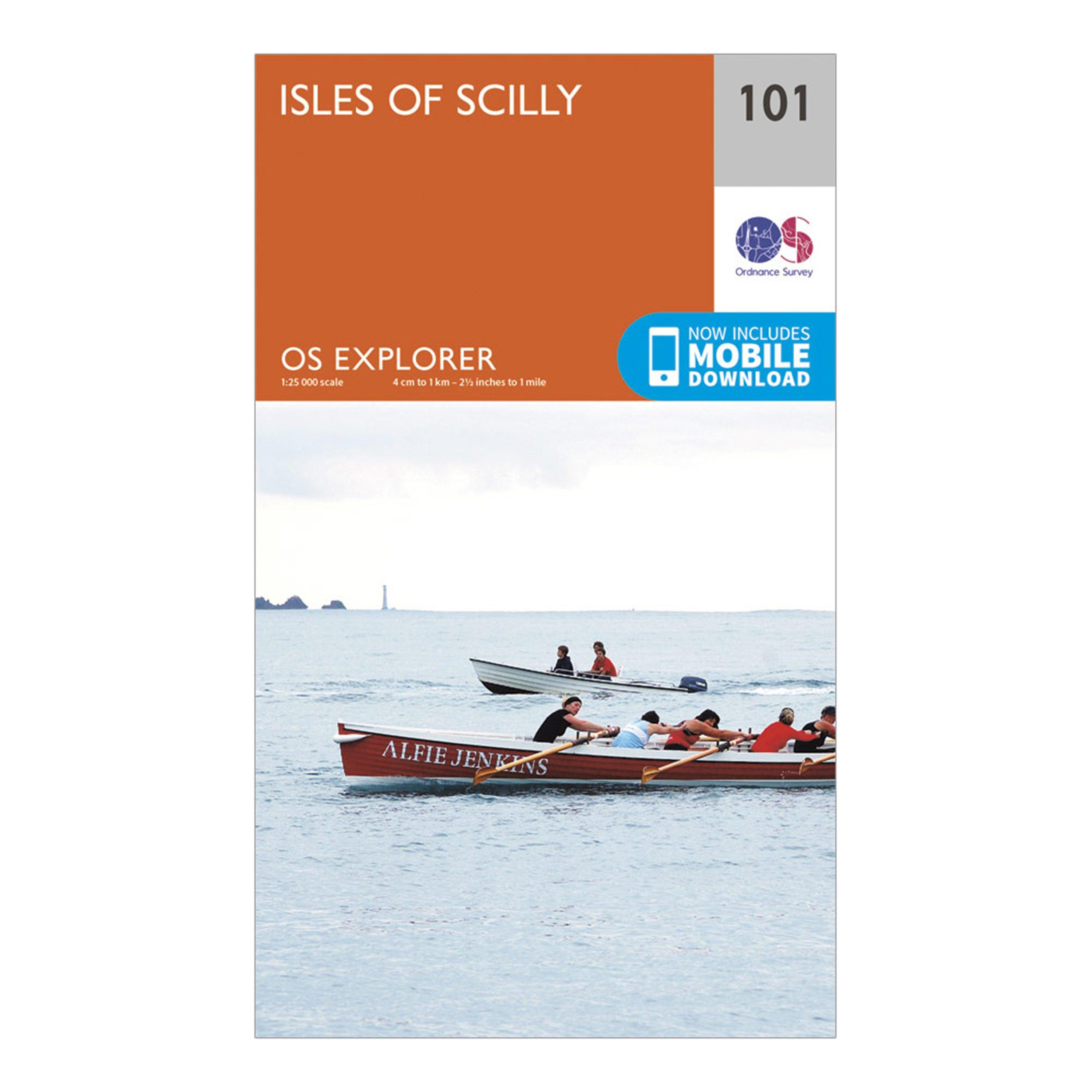
Ordnance Survey Explorer 101 Isles Of Scilly Map With Digital Version - Orange, Orange
Providing complete GB coverage, the OS Explorer map series details information essential in the great outdoors, including youth hostels, pubs and visitor information. Rights of way, fences, permissive paths and bridleways are clearly shown, ensuring you have the best information to get the most out of...
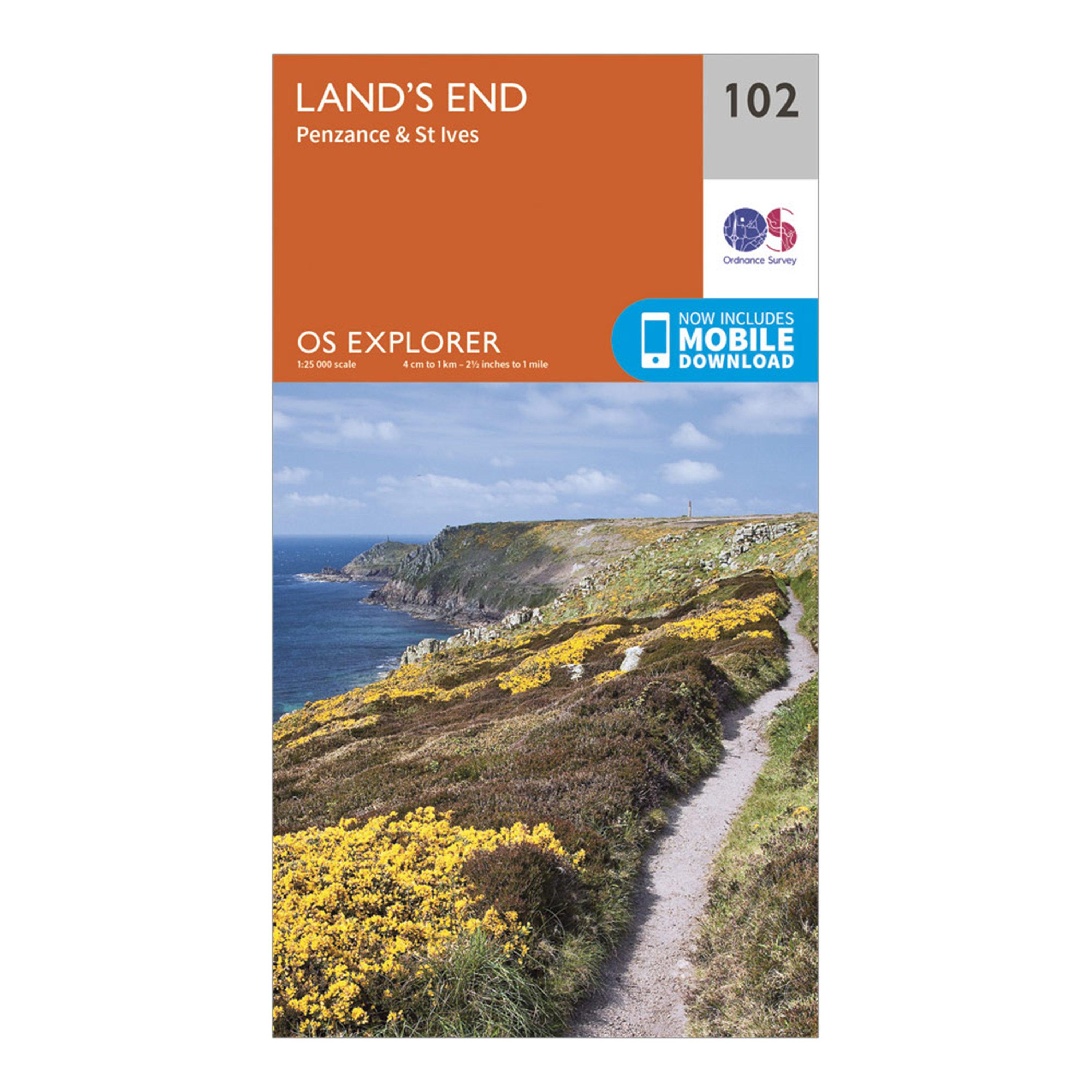
Ordnance Survey Explorer 102 Land's End Map With Digital Version - Orange, Orange
Providing complete GB coverage, the OS Explorer map series details information essential in the great outdoors, including youth hostels, pubs and visitor information. Rights of way, fences, permissive paths and bridleways are clearly shown, ensuring you have the best information to get the most out of...
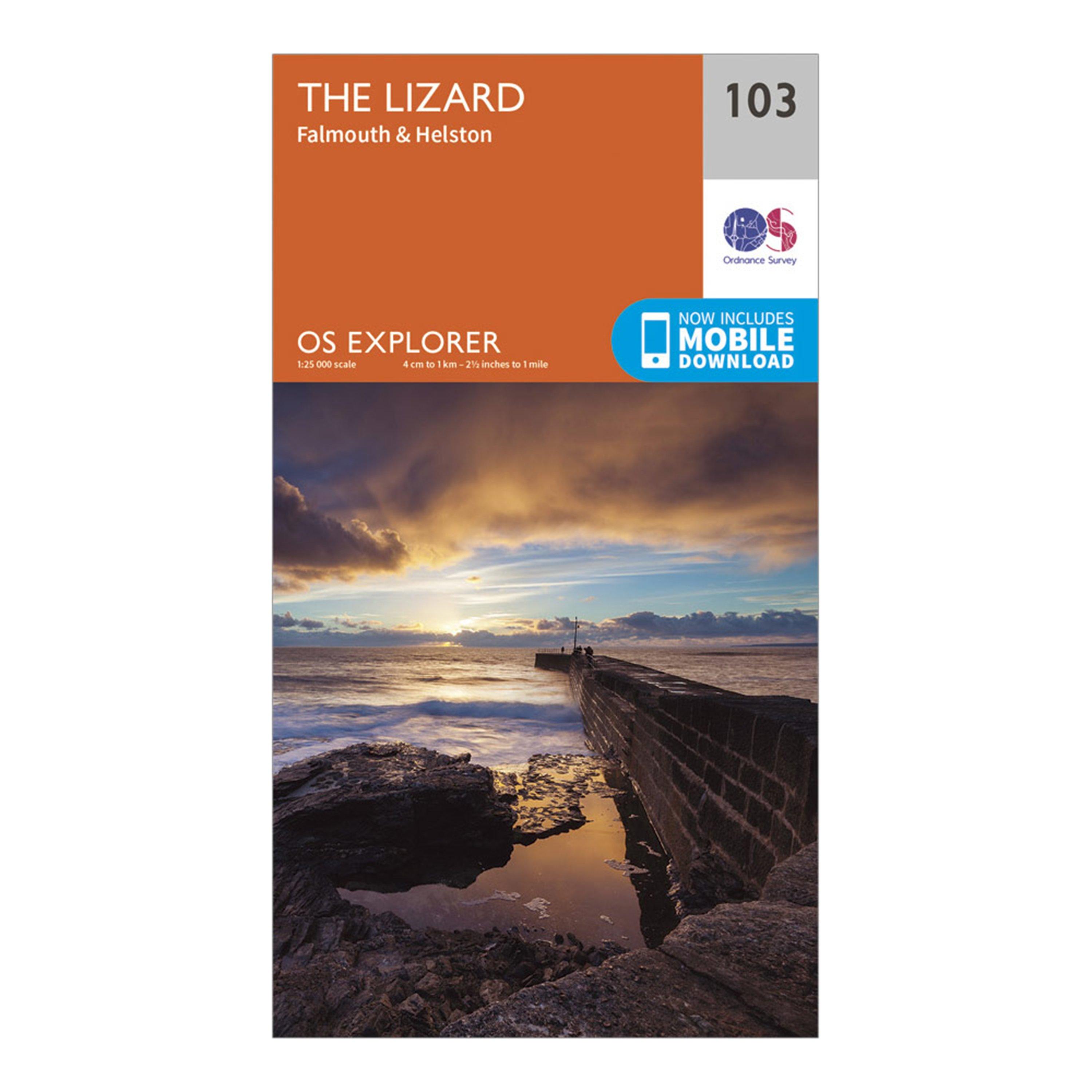
Ordnance Survey Explorer 103 The Lizard Map With Digital Version - Orange, Orange
Providing complete GB coverage, the OS Explorer map series details information essential in the great outdoors, including youth hostels, pubs and visitor information. Rights of way, fences, permissive paths and bridleways are clearly shown, ensuring you have the best information to get the most out of...
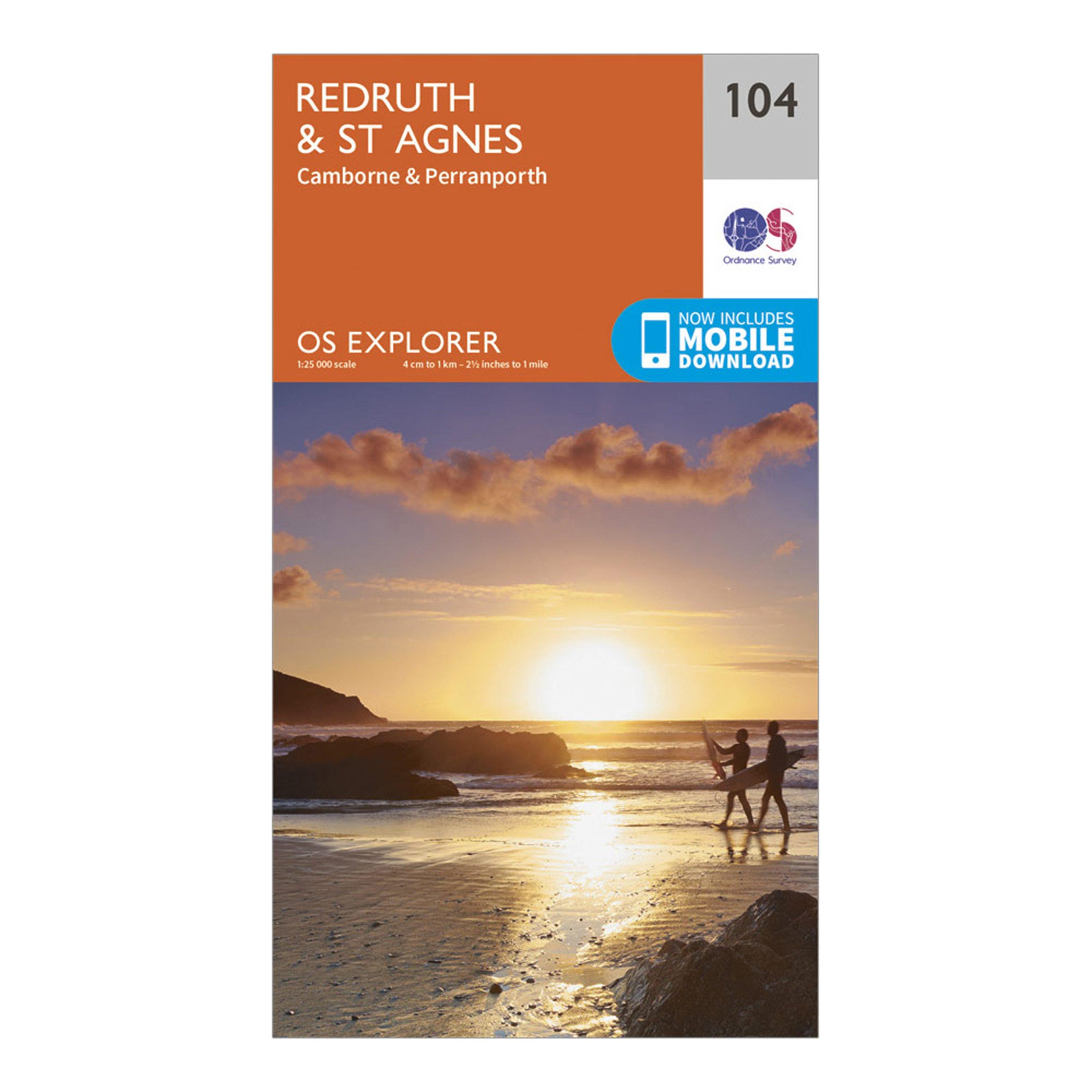
Ordnance Survey Explorer 104 Redruth & St Agnes Map With Digital Version - Orange, Orange
Providing complete GB coverage, the OS Explorer map series details information essential in the great outdoors, including youth hostels, pubs and visitor information. Rights of way, fences, permissive paths and bridleways are clearly shown, ensuring you have the best information to get the most out of...
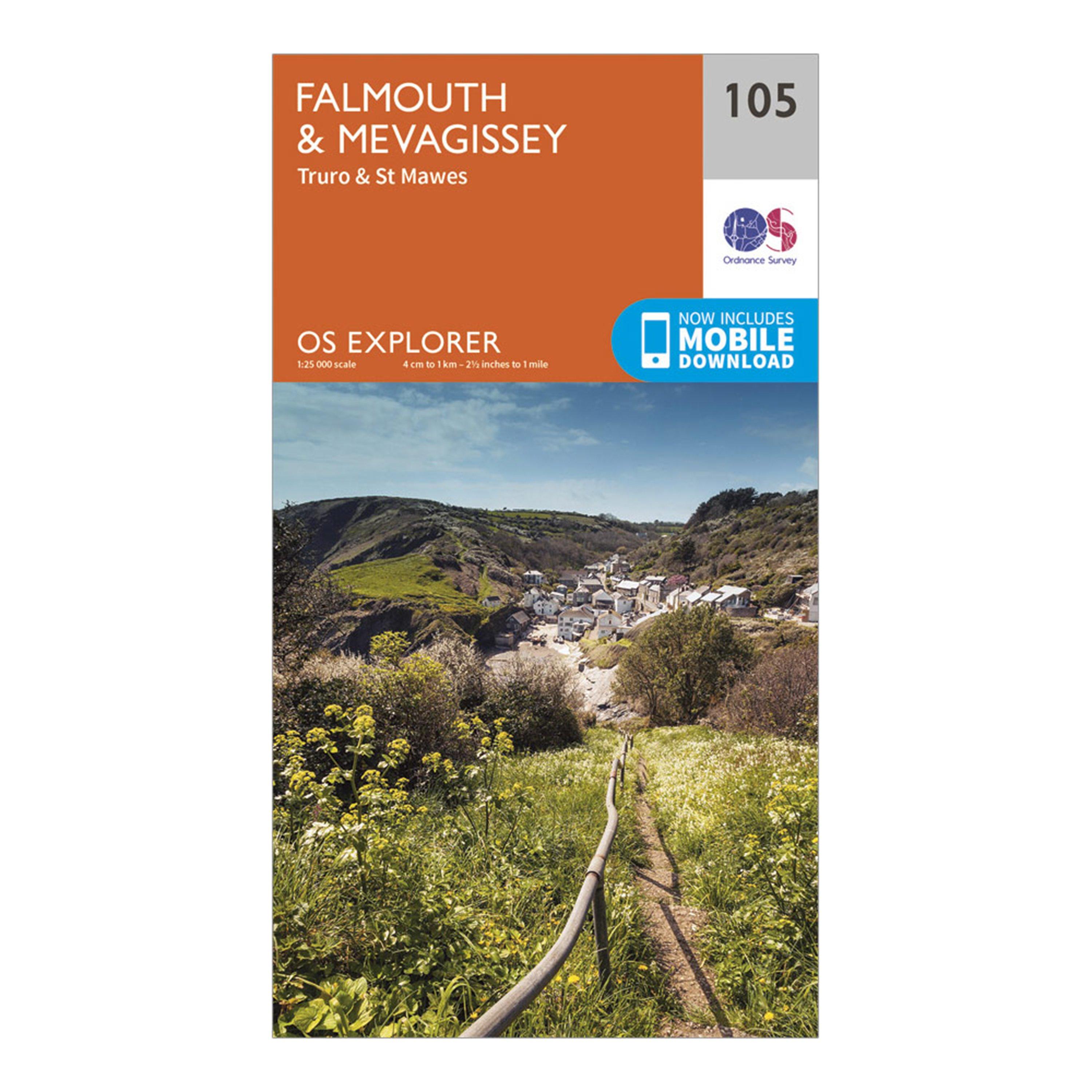
Ordnance Survey Explorer 105 Falmouth & Mevagissey Map With Digital Version - Orange, Orange
Providing complete GB coverage, the OS Explorer map series details information essential in the great outdoors, including youth hostels, pubs and visitor information. Rights of way, fences, permissive paths and bridleways are clearly shown, ensuring you have the best information to get the most out of...
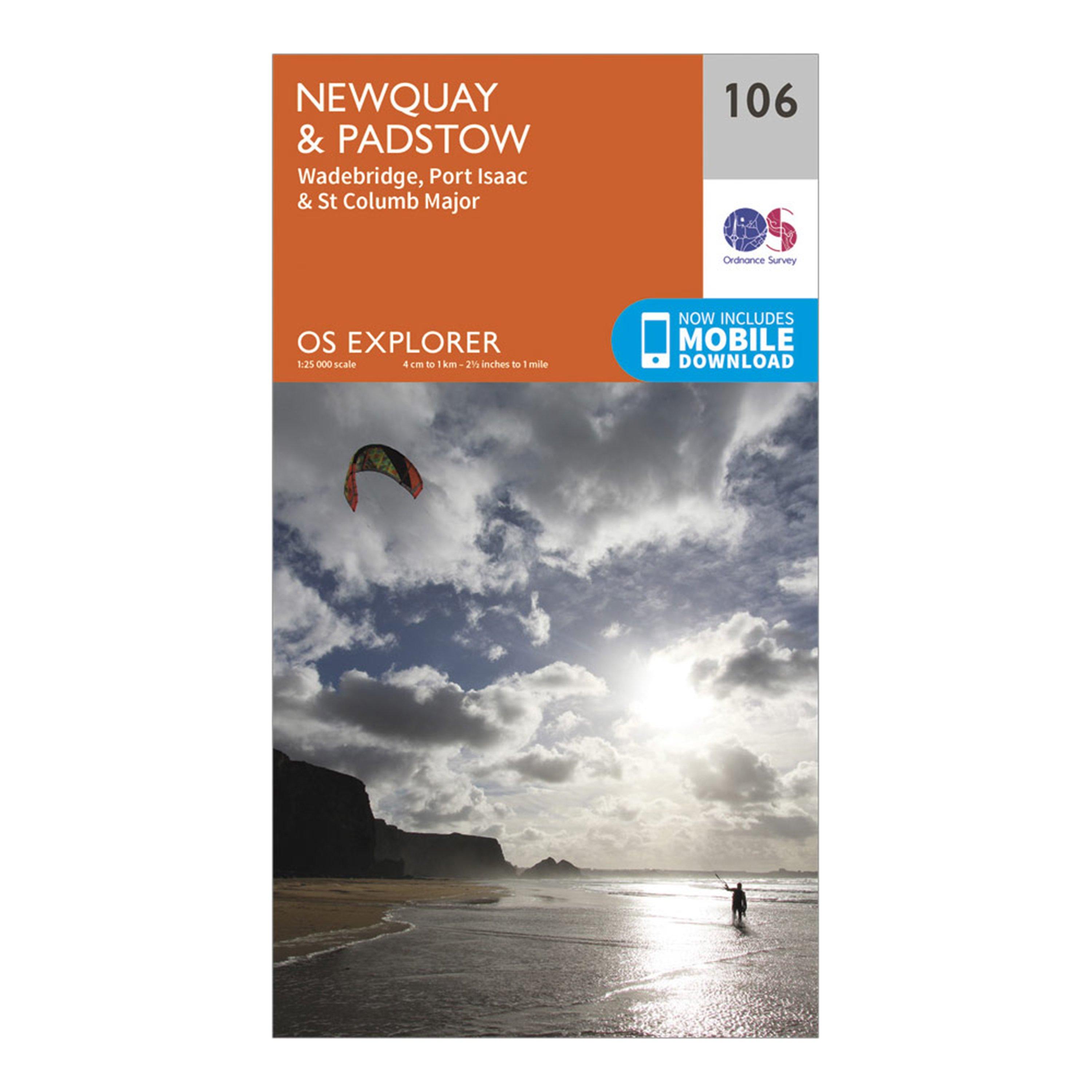
Ordnance Survey Explorer 106 Newquay & Padstow Map With Digital Version - Orange, Orange
Providing complete GB coverage, the OS Explorer map series details information essential in the great outdoors, including youth hostels, pubs and visitor information. Rights of way, fences, permissive paths and bridleways are clearly shown, ensuring you have the best information to get the most out of...
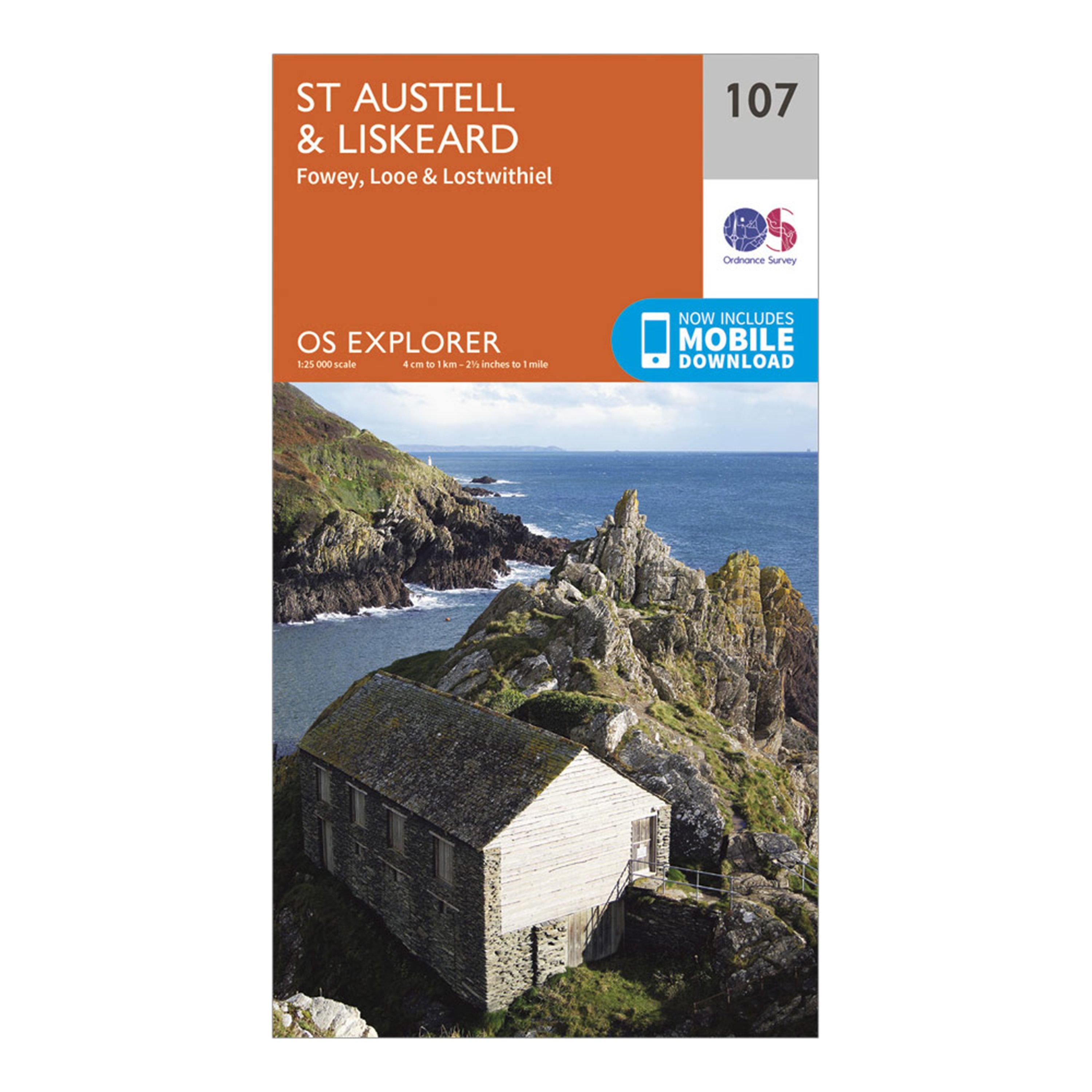
Ordnance Survey Explorer 107 St Austell & Liskeard Map With Digital Version - Orange, Orange
Providing complete GB coverage, the OS Explorer map series details information essential in the great outdoors, including youth hostels, pubs and visitor information. Rights of way, fences, permissive paths and bridleways are clearly shown, ensuring you have the best information to get the most out of...
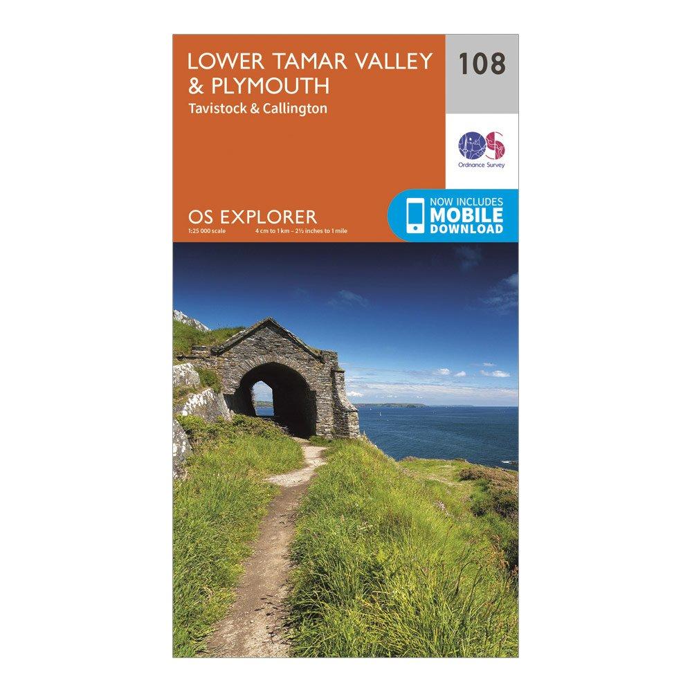
Ordnance Survey Explorer 108 Lower Tamar Valley & Plymouth Map With Digital Version - Orange, Orange
Providing complete GB coverage, the OS Explorer map series details information essential in the great outdoors, including youth hostels, pubs and visitor information. Rights of way, fences, permissive paths and bridleways are clearly shown, ensuring you have the best information to get the most out of...