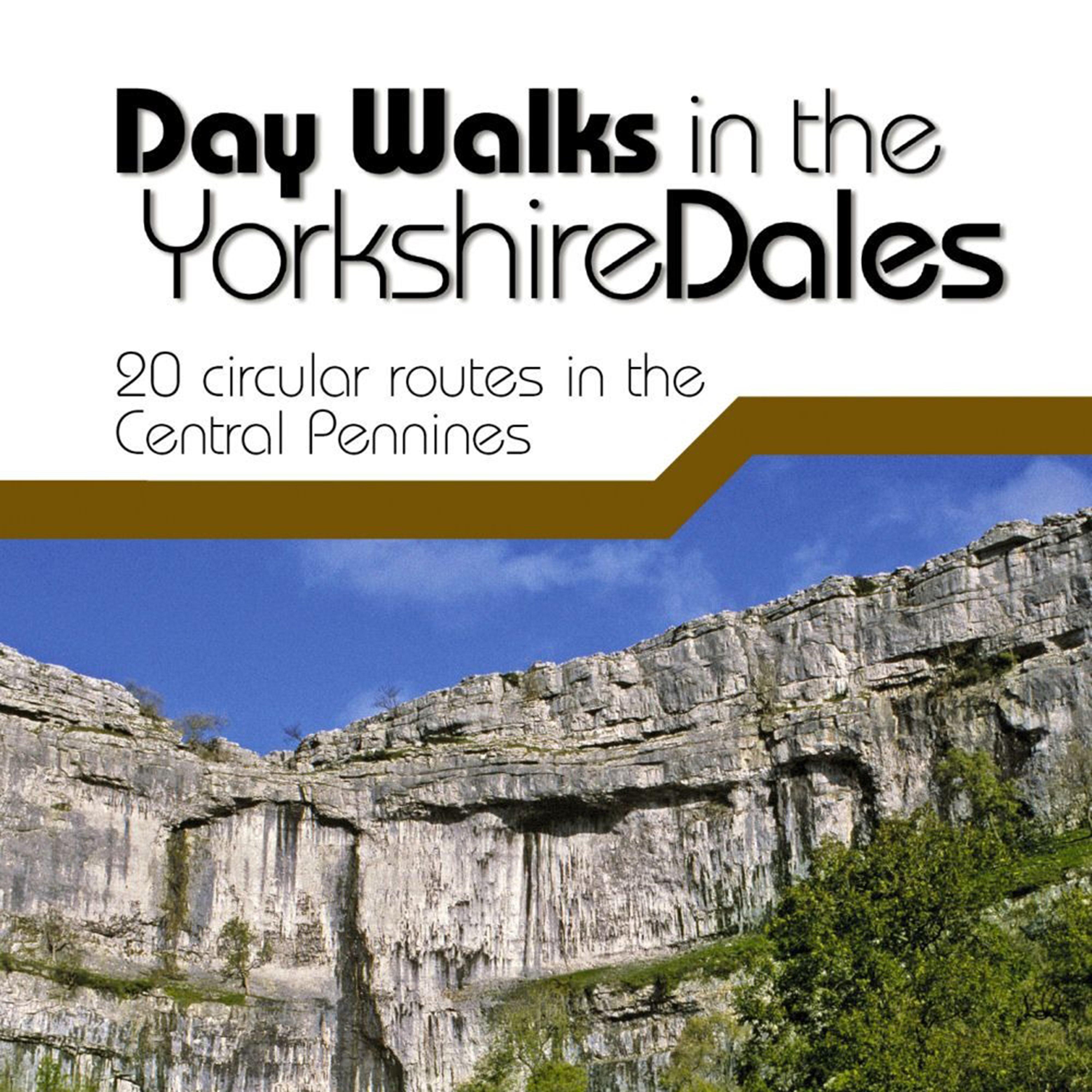
Day Walks in the Yorkshire Dales is the fourth title in Vertebrate Publishing's series of compact and portable hill walking guidebooks. This book showcases 20 circular routes in the Yorkshire Dales National Park, between 6 and 11 miles (10km and 17km) in length, suitable for hill walkers of all abilities._The routes are split into three geographical areas - south, east, and north - and include walks to the Dales' most regarded beauty spots, such as Malham Cove, Cautley Spout, Brimham Rocks and the Norber Erratics, as well as the trio of sought-after peaks; Pen-y-ghent, Ingleborough and Whernside._The author of this guidebook, Bernard Newman, is a freelance outdoor writer and photographer, and...
Best Price: £13.50 from Go Outdoors
| Stockist | Catalogue Product Name | Price | |
|---|---|---|---|
| CLEARANCE Day Walks In The Yorkshire Dales Book, Multi Coloured | £13.50 | Visit Store |
Related Sports Products
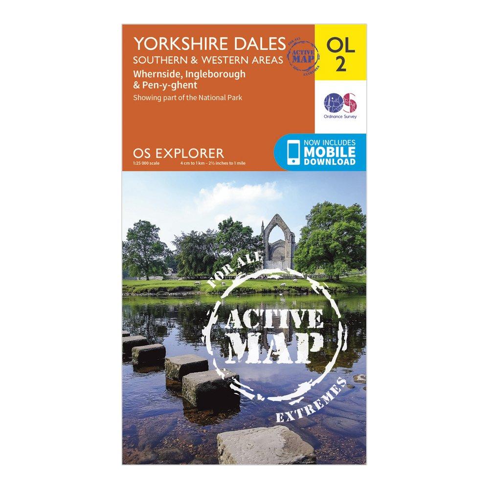
Ordnance Survey Explorer Active Ol2 Yorkshire Dales - Southern & Western Areas - Orange, Orange
FeaturesPennine WayDales WayDales Way (Guide Book)Ribble WayLimestone Link (Cumbria)Lune Valley RambleMillennium WayPennine Way (National Trail)E2 (European Long Distance Route)SettleSkiptonNorth YorkshireLancashireYorkshire Dales National ParkCumbria1:25 000 scale (4 cm to 1 km - 2.5 inches to 1 mile)This...
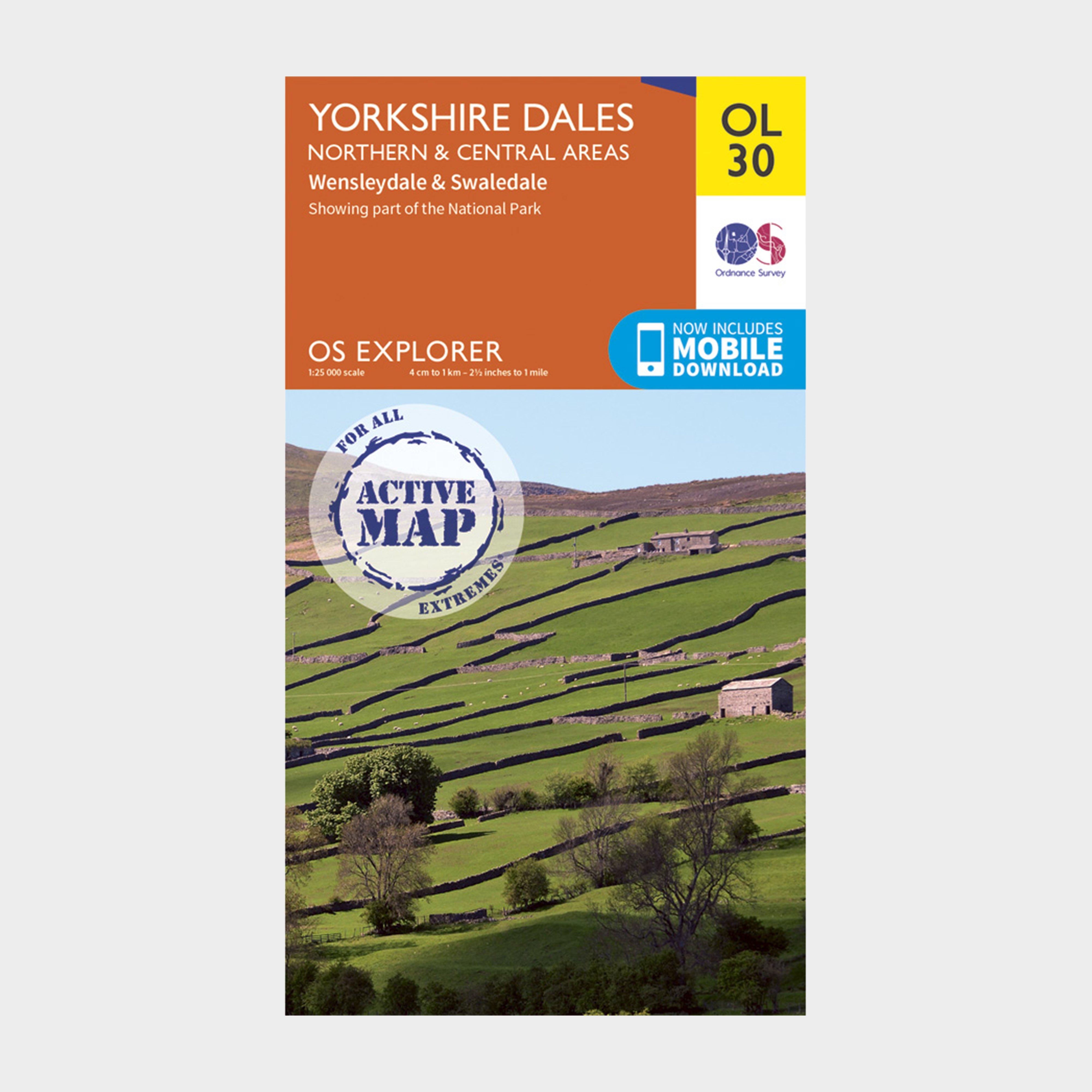
Ordnance Survey Ol 30 Explorer Yorkshire Dales - Northern & Central Area Active Map - Orange, Orange
Providing complete GB coverage, the OS Explorer map series details information essential in the great outdoors, including youth hostels, pubs and visitor information. Rights of way, fences, permissive paths and bridleways are clearly shown, ensuring you have the best information to get the most out of...

Providing complete GB coverage, the OS Explorer map series details information essential in the great outdoors, including youth hostels, pubs and visitor information. Rights of way, fences, permissive paths and bridleways are clearly shown, ensuring you have the best information to get the most...