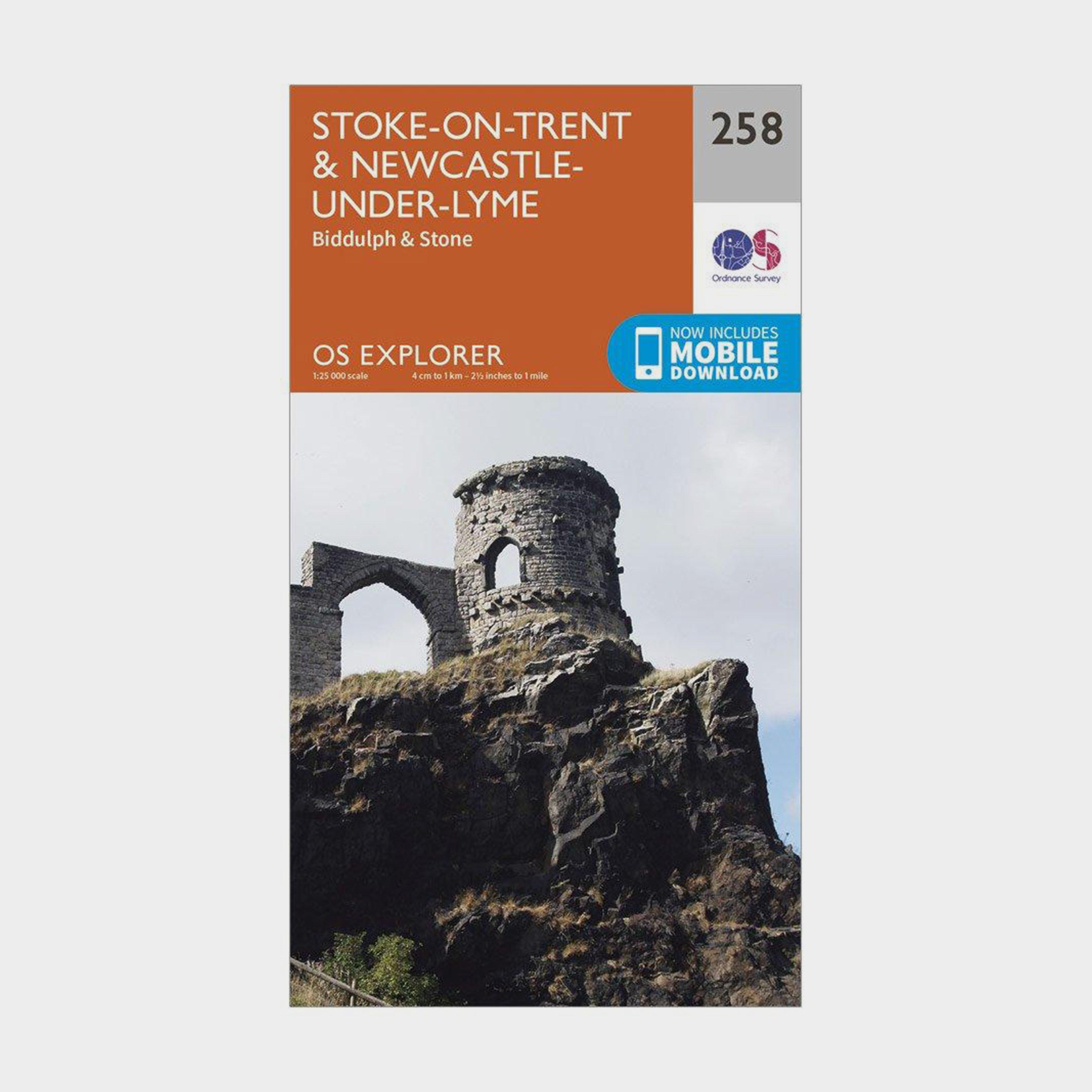
Providing complete GB coverage, the OS Explorer map series details information essential in the great outdoors, including youth hostels, pubs and visitor information. Rights of way, fences, permissive paths and bridleways are clearly shown, ensuring you have the best information to get the most out of your time in the countryside.FeaturesGritstone TrailStaffordshire Moorlands Walks Staffordshire WaySouth Cheshire WayCheshire Ring Canal Walk StaffordshireLeekNewcastle-under-Lyme Stoke-on-TrentStone1:25 000 scale (4 cm to 1 km - 2.5 inches to 1 mile)This map comes with a digital version which you can download to your smartphone or tablet.Go to OS.uk/redeem for more details (terms and conditions...
Best Price: £7.80 from Ultimate Outdoors
| Stockist | Catalogue Product Name | Price | |
|---|---|---|---|
| Ordnance Survey Explorer 258 Stoke-On-Trent & Newcastle-Under-Lyme Map With Digital Version - Orange, Orange | £7.80 | Visit Store |
Related Sports Products
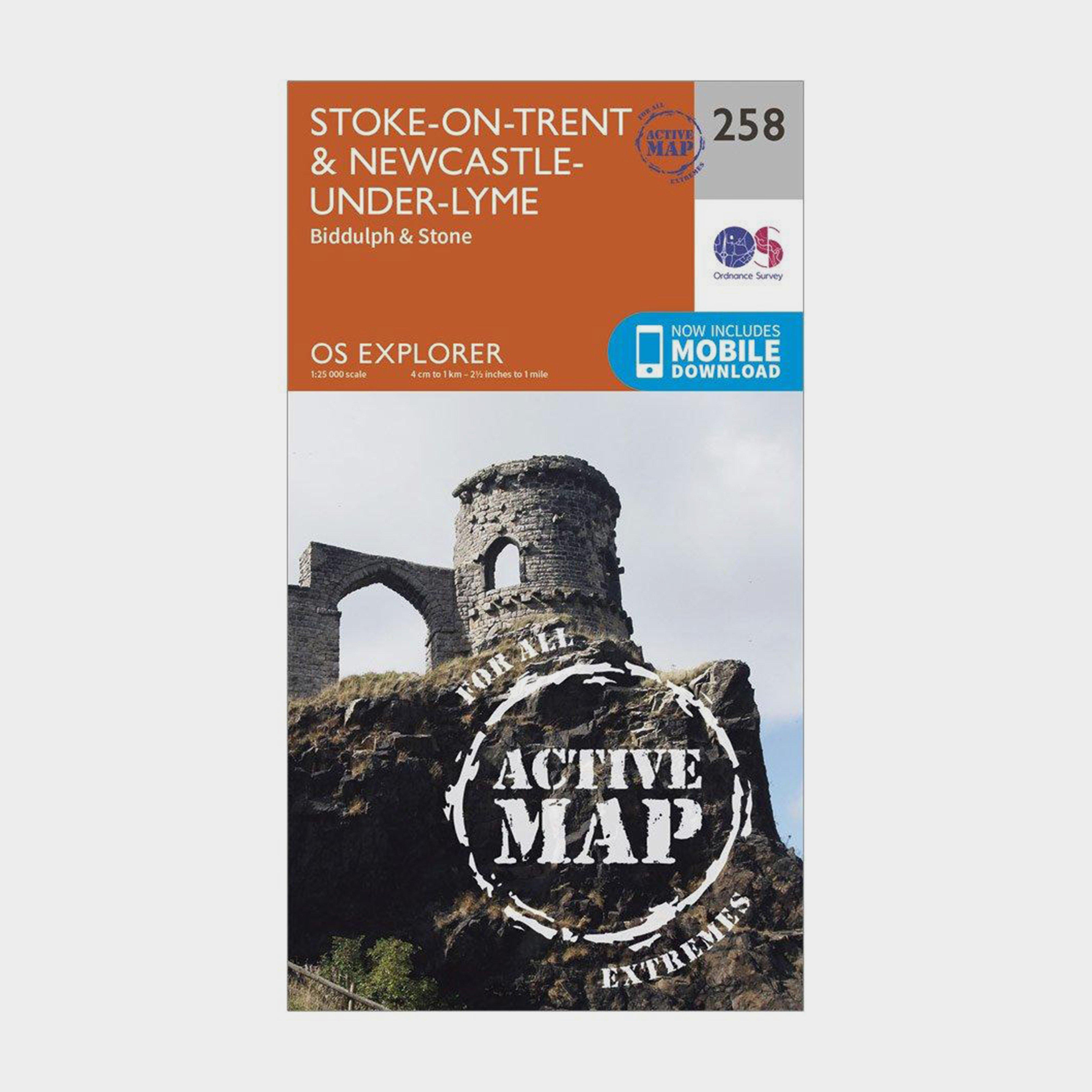
Providing complete GB coverage, the OS Explorer map series details information essential in the great outdoors, including youth hostels, pubs and visitor information. Rights of way, fences, permissive paths and bridleways are clearly shown, ensuring you have the best information to get the most out of...
Ordnance Survey Explorer 116 Lyme Regis & Bridport Map With Digital Version - Orange, Orange
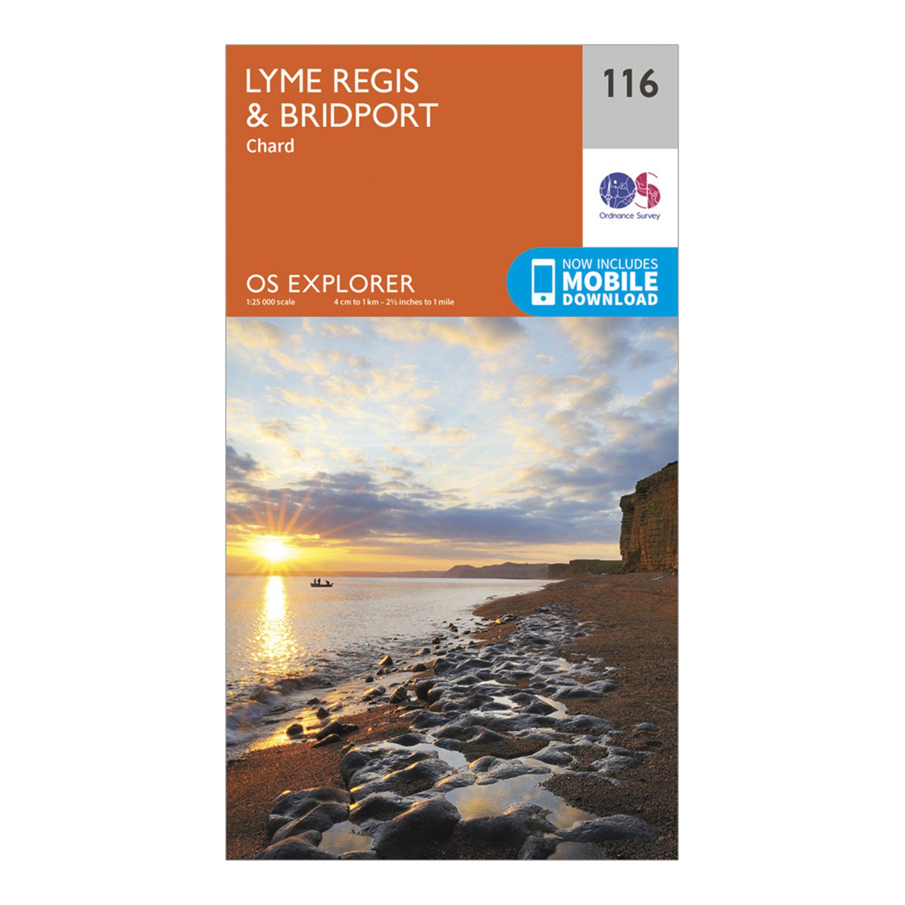
Providing complete GB coverage, the OS Explorer map series details information essential in the great outdoors, including youth hostels, pubs and visitor information. Rights of way, fences, permissive paths and bridleways are clearly shown, ensuring you have the best information to get the most out of...
Ordnance Survey Explorer Active 116 Lyme Regis & Bridport Map With Digital Version - Orange, Orange
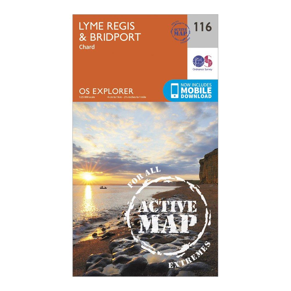
Providing complete GB coverage, the OS Explorer map series details information essential in the great outdoors, including youth hostels, pubs and visitor information. Rights of way, fences, permissive paths and bridleways are clearly shown, ensuring you have the best information to get the most out of...