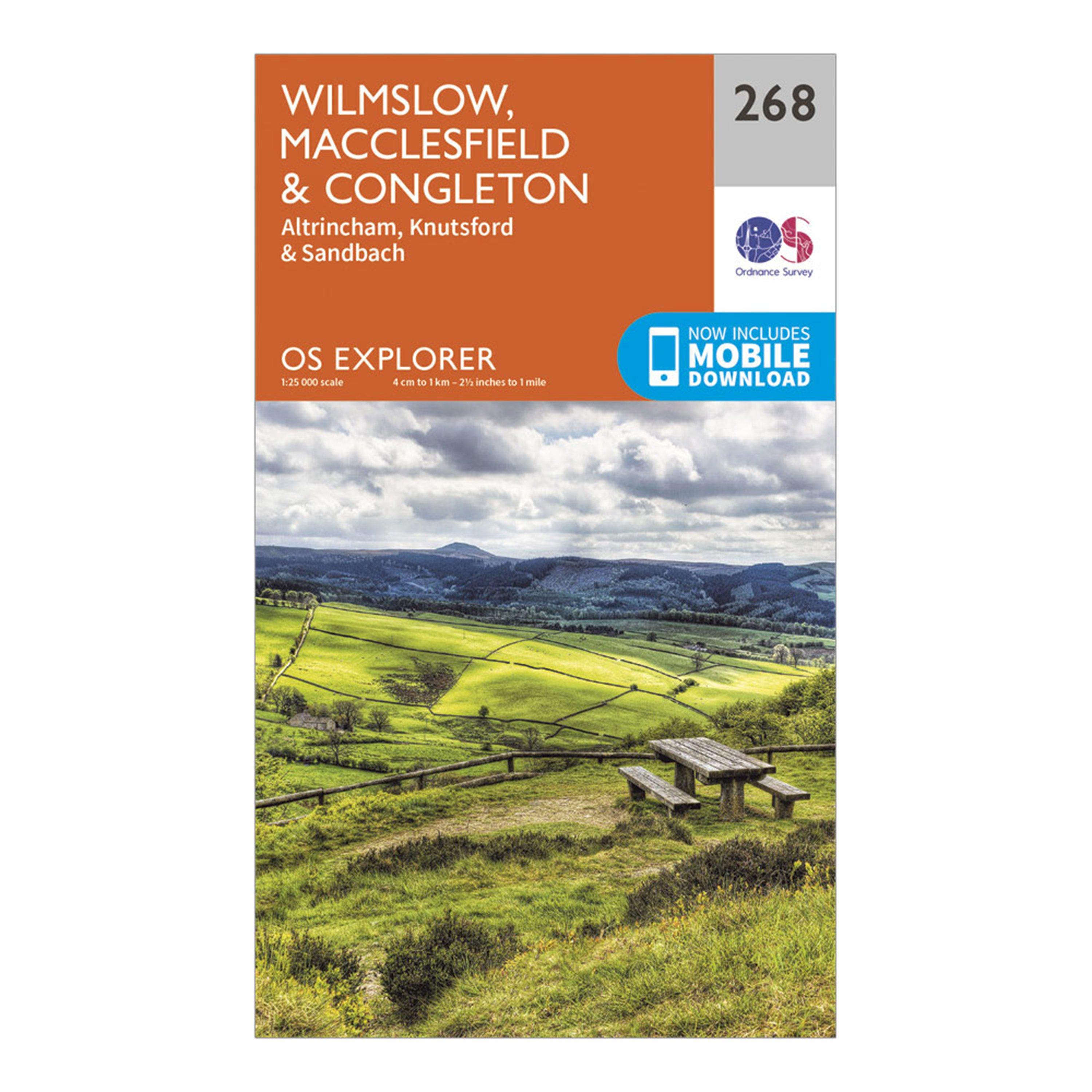
Providing complete GB coverage, the OS Explorer map series details information essential in the great outdoors, including youth hostels, pubs and visitor information. Rights of way, fences, permissive paths and bridleways are clearly shown, ensuring you have the best information to get the most out of your time in the countryside.FeaturesGritstone TrailStaffordshire Moorlands Walks Staffordshire WayMiddlewood Way South Cheshire WayCheshire Ring Canal Walk Goyt WayCown Edge Way Midshires WayEtherow-Goyt Valley wayCrewe and Nantwich Circular Walk Dane Valley WayTrans Pennine TrailLadybrook Valley Interest TrailE2 (European Long Distance Route) Greater ManchesterCheshire Staffordshire Altrincham...
Best Price: £7.80 from Ultimate Outdoors
| Stockist | Catalogue Product Name | Price | |
|---|---|---|---|
| Ordnance Survey Explorer 268 Wilmslow, Macclesfield & Congleton Map With Digital Version, D | £7.80 | Visit Store |
Related Sports Products
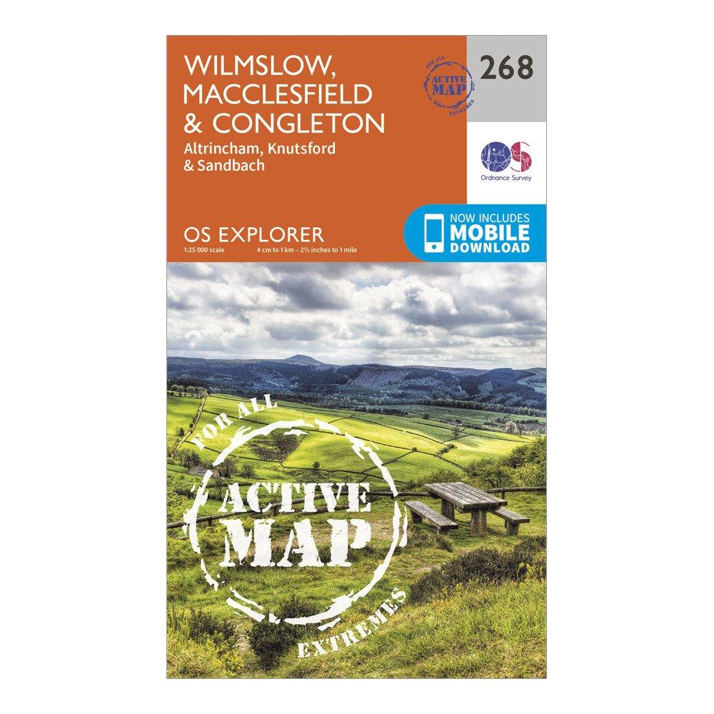
The essential map for outdoor activities in all weathers in Wilmslow, Macclesfield and Congleton. The OS Explorer Active Map is the Ordnance Survey's most detailed folding map and is recommended for anyone enjoying outdoor activities including walking, horse riding and off-road cycling. This map now...
Ordnance Survey Explorer 289 Leeds Map With Digital Version, D
Providing complete GB coverage, the OS Explorer map series details information essential in the great outdoors, including youth hostels, pubs and visitor information. Rights of way, fences, permissive paths and bridleways are clearly shown, ensuring you have the best information to get the most out of...
Ordnance Survey Explorer 298 Nidderdale Map With Digital Version, D
Providing complete GB coverage, the OS Explorer map series details information essential in the great outdoors, including youth hostels, pubs and visitor information. Rights of way, fences, permissive paths and bridleways are clearly shown, ensuring you have the best information to get the most out of...