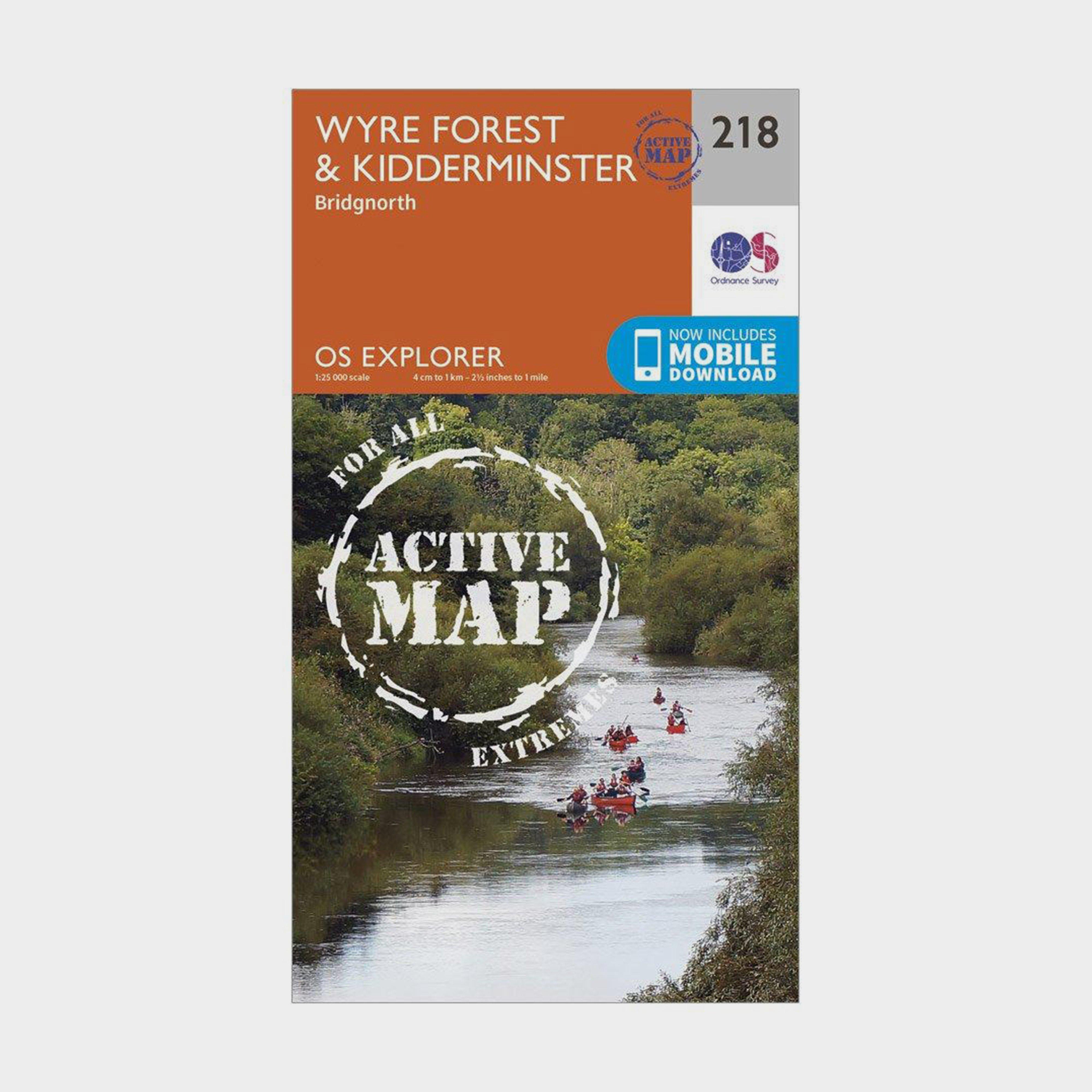
Providing complete GB coverage, the OS Explorer map series details information essential in the great outdoors, including youth hostels, pubs and visitor information. Rights of way, fences, permissive paths and bridleways are clearly shown, ensuring you have the best information to get the most out of your time in the countryside.Customers can now discover the landscape in all weathers thanks to the OS Explorer Map - Active; a tough, versatile and wipe-clean version of the OS Explorer map.FeaturesNorth Worcestershire PathStaffordshire WaySevern WayWorcestershire WayJack Mytton WayMonarch's Way (Book 1)StaffordshireHereford and WorcesterBridgnorthKidderminster1:25 000 scale (4 cm to 1 km - 2.5...
Best Price: £10.20 from Ultimate Outdoors
| Stockist | Catalogue Product Name | Price | |
|---|---|---|---|
| Ordnance Survey Explorer Active 218 Kidderminster & Wyre Forest Map With Digital Version - Orange, Orange | £10.20 | Visit Store |
Related Sports Products

The OS Landranger Map Active is tough, durable and weatherproof. The maps are covered in a lightweight protective plastic coating that can be written on, so your favourite routes can be easily highlighted._This map comes with a digital version which you can download to your smartphone or tablet._Go...
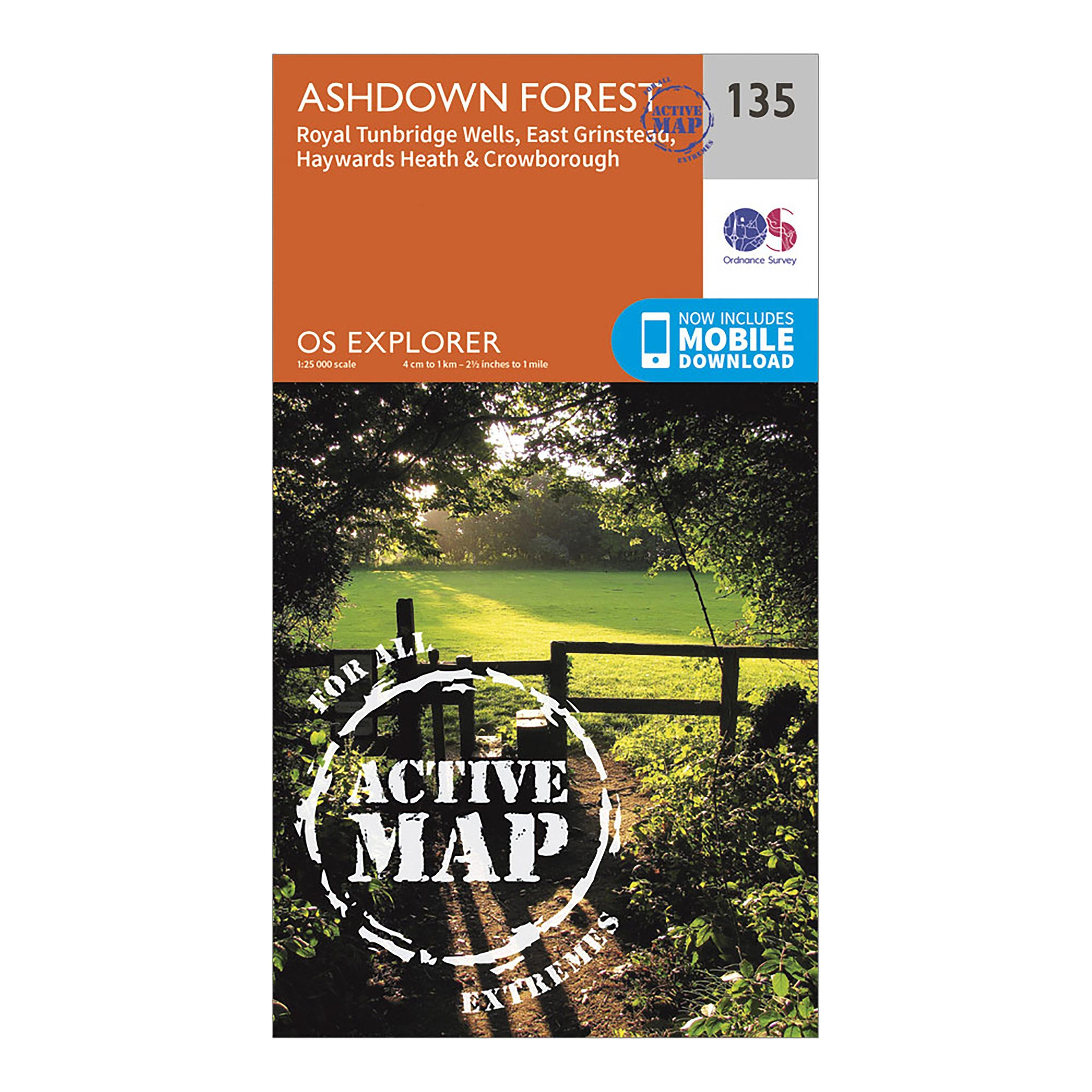
Ordnance Survey Explorer Active 135 Ashdown Forest Map With Digital Version - Orange, Orange
Covers: Ashdown Forest, Royal Tunbridge Wells, East Grinstead, Haywards Heath & Crowborough1:25 000 scale (4 cm to 1 km - 2.5 inches to 1 mile)Includes: digital version for smartphone or tablet
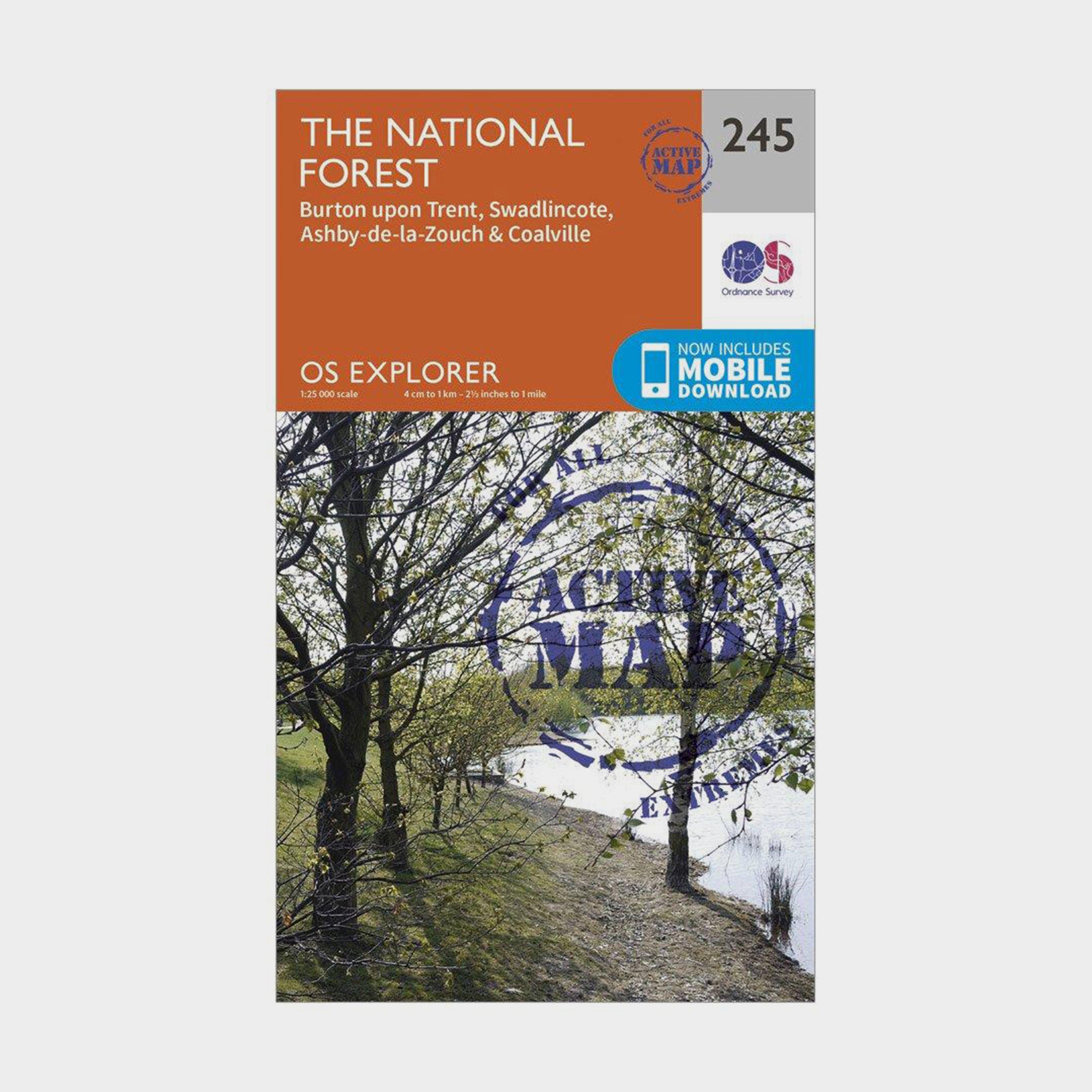
Ordnance Survey Explorer Active 245 The National Forest Map With Digital Version - Orange, Orange
Providing complete GB coverage, the OS Explorer map series details information essential in the great outdoors, including youth hostels, pubs and visitor information. Rights of way, fences, permissive paths and bridleways are clearly shown, ensuring you have the best information to get the most out of...