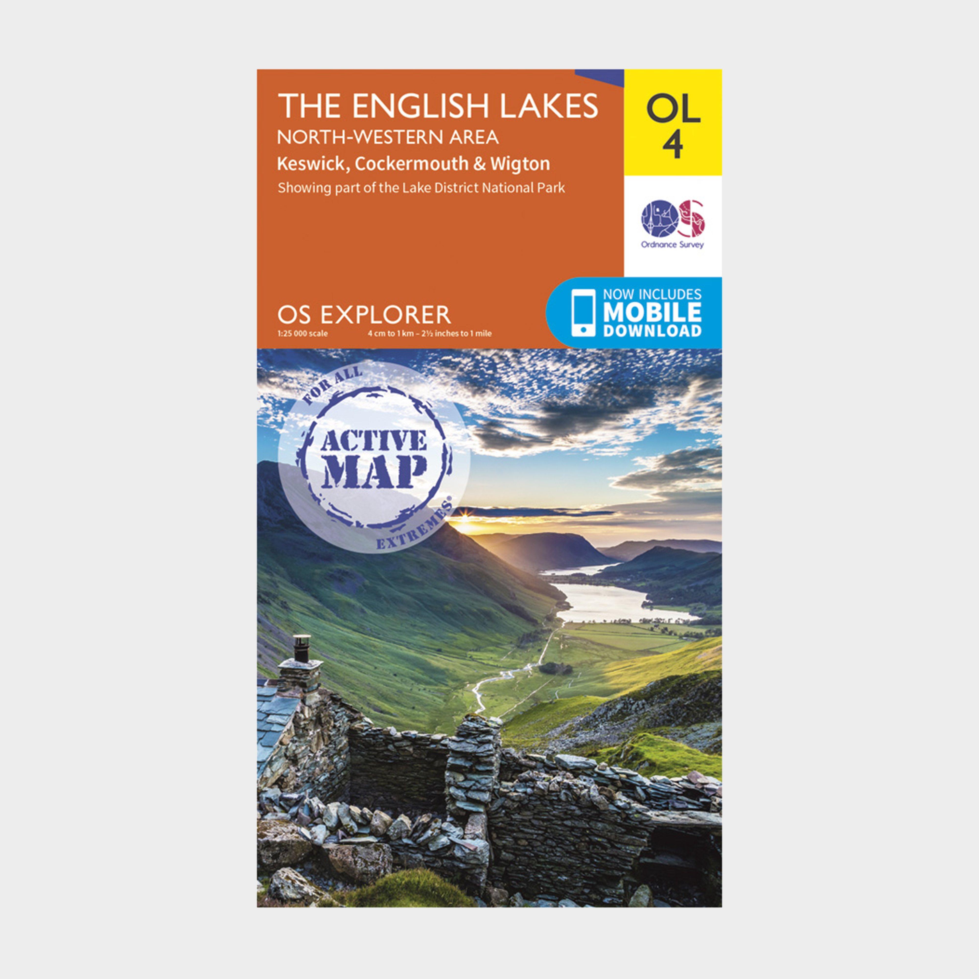
FeaturesDetailed and informative explorer map of The Lake District (North-Western area) from Ordnance SurveyCovers Solway Coast (an Area of Outstanding Natural Beauty), Wigton, Maryport, Cockermouth, Keswick, Skiddaw, Buttermere and SeathwaiteScale: 1:25000Now includes Mobile DownloadRecommended activity - walking / hiking / cycling / navigation / expedition
Best Price: £10.20 from Ultimate Outdoors
| Stockist | Catalogue Product Name | Price | |
|---|---|---|---|
| Ordnance Survey Explorer Active Ol 4 The Lake District (North-Western Area) Map - Orange, Orange | £10.20 | Visit Store |
Related Sports Products
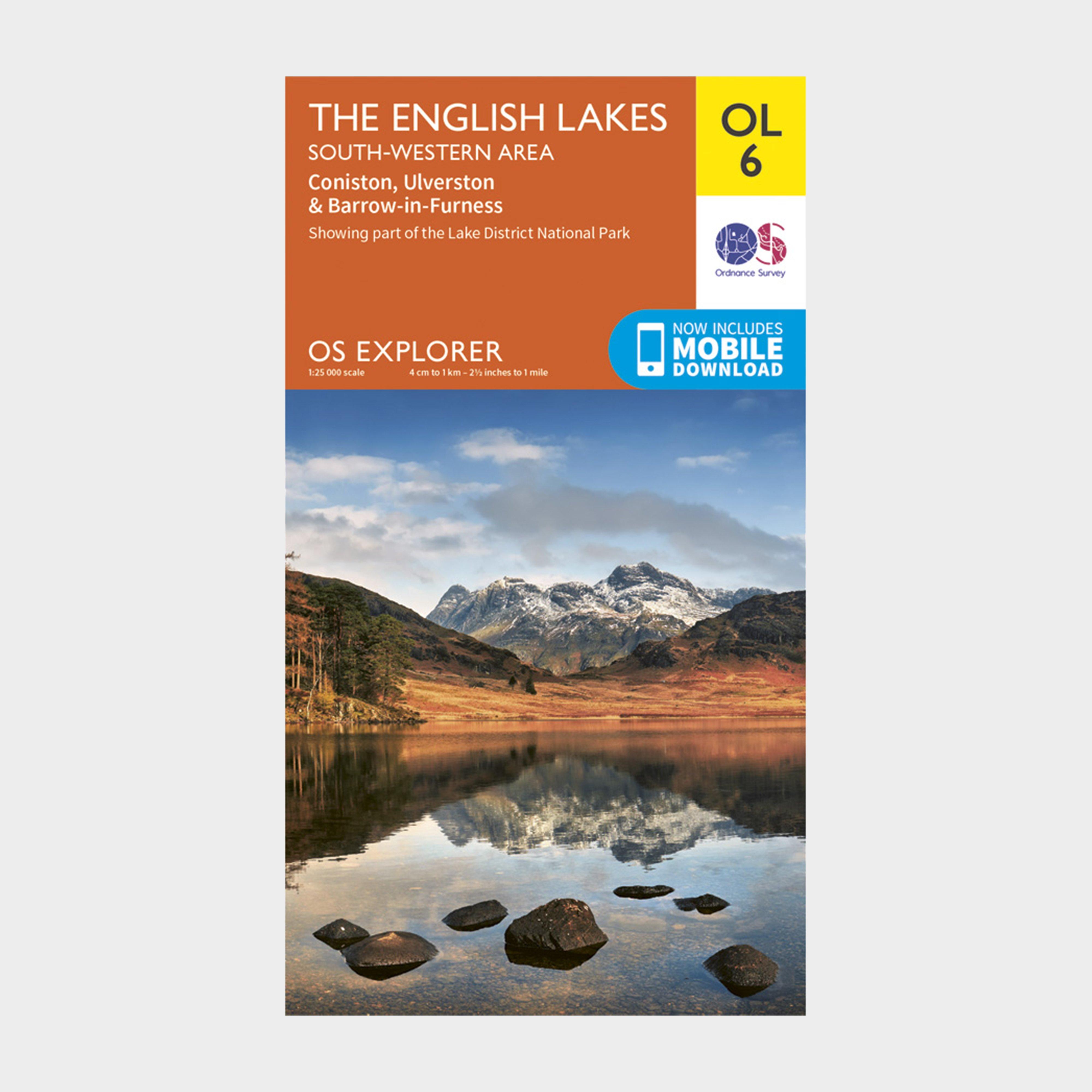
Ordnance Survey Explorer Ol 6 The Lake District: South-Western Area - Orange, Orange
FeaturesDetailed and easy to read map from Ordnance SurveyScale: 1:25,000Includes mobile download of map for use on your smartphoneShows tourist information points, popular sites, viewpoints, places of interest and rights of way information
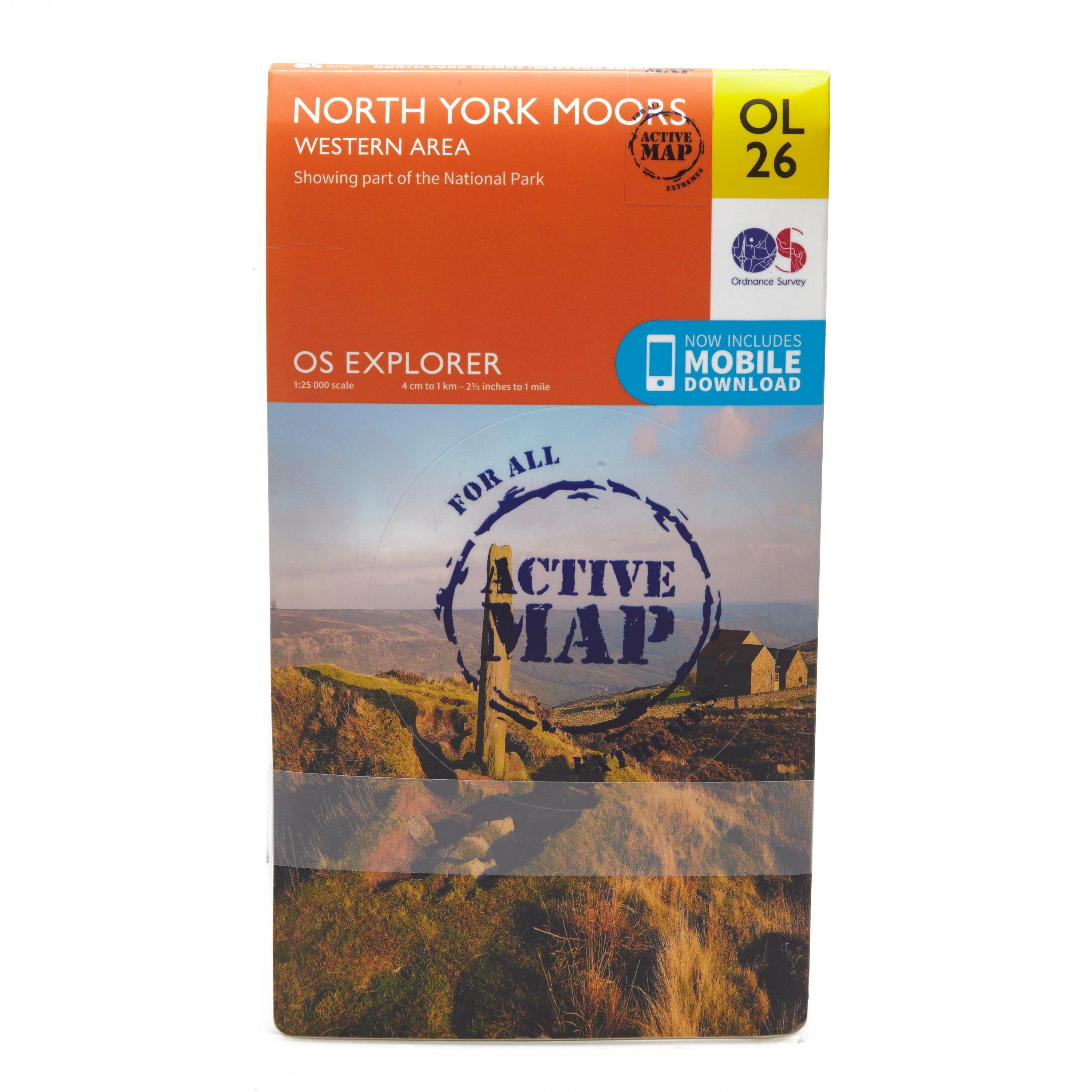
Ordnance Survey Explorer Active Ol26 North York Moors - Western Area Map - Orange, Orange
FeaturesCleveland WayEbor WayCleveland StreetTeesdale WayTees Link (Strategic Link to be shown at 50k)Marton West Beck TrailCleveland Way (National Trail)E2 (European Long Distance Route)MiddlesbroughNorth YorkshireNorth York Moors National ParkClevelandActive weatherproof map1:25 000 scale (4 cm to...
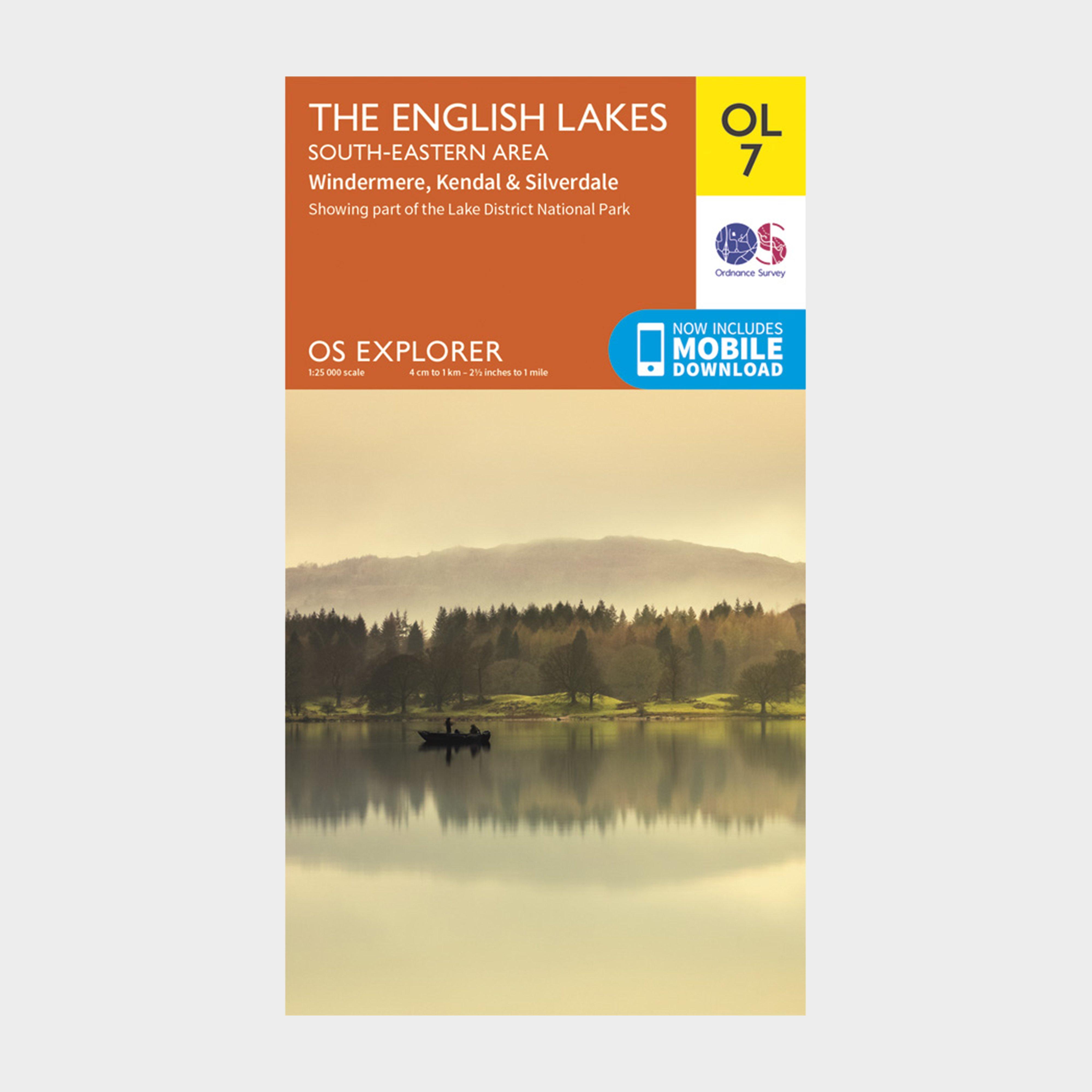
Ordnance Survey Ol 7 Explorer The Lake District: South-Eastern Area Map - Orange, Orange
FeaturesDetailed and easy to read map from Ordnance SurveyScale: 1:25,000Includes mobile download of map for use on your smartphoneShows tourist information points, popular sites, viewpoints, places of interest and rights of way information