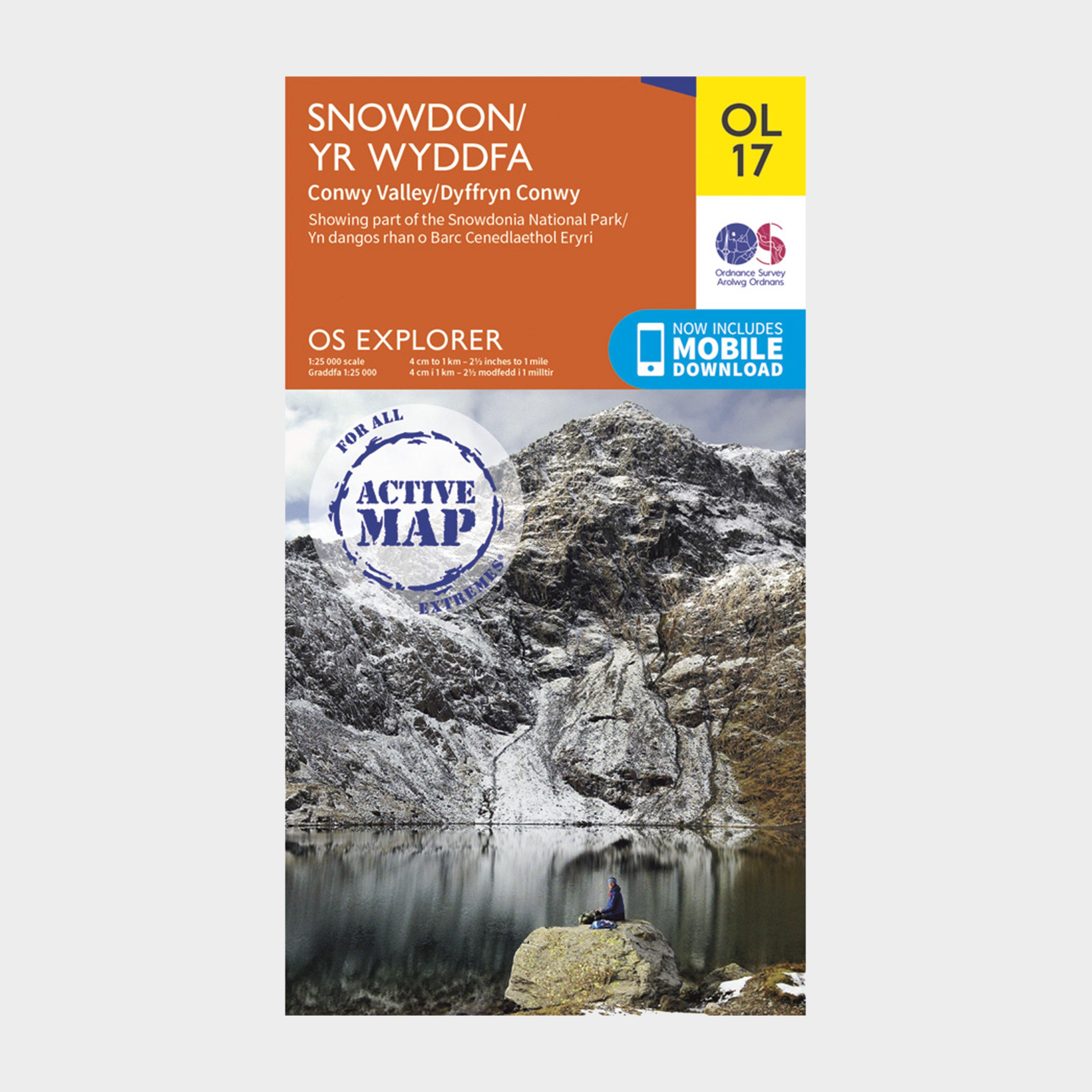
Providing complete GB coverage, the OS Explorer map series details information essential in the great outdoors, including youth hostels, pubs and visitor information. Rights of way, fences, permissive paths and bridleways are clearly shown, ensuring you have the best information to get the most out of your time in the countryside._Customers can now discover the landscape in all weathers thanks to the OS Explorer Map - Active; a tough, versatile and wipe-clean version of the OS Explorer map._FeaturesNorth Wales PathIsle of Anglesey Coastal Path / Llwybr Arfordirol YnysMon BangorBetws-y-coedCaernarfonConwyLlandudnoSnowdonia National ParkGwyneddClwyd1:25 000 scale (4 cm to 1 km - 2.5 inches...
Best Price: £10.20 from Ultimate Outdoors
| Stockist | Catalogue Product Name | Price | |
|---|---|---|---|
| Ordnance Survey Explorer Active Ol17 Snowdon & Conwy Valley Map With Digital Version - Orange, Orange | £10.20 | Visit Store |
Related Sports Products
Providing complete GB coverage, the OS Explorer map series details information essential in the great outdoors, including youth hostels, pubs and visitor information. Rights of way, fences, permissive paths and bridleways are clearly shown, ensuring you have the best information to get the most out of...
Providing complete GB coverage, the OS Explorer map series details information essential in the great outdoors, including youth hostels, pubs and visitor information. Rights of way, fences, permissive paths and bridleways are clearly shown, ensuring you have the best information to get the most out of...
Providing complete GB coverage, the OS Explorer map series details information essential in the great outdoors, including youth hostels, pubs and visitor information. Rights of way, fences, permissive paths and bridleways are clearly shown, ensuring you have the best information to get the most out of...