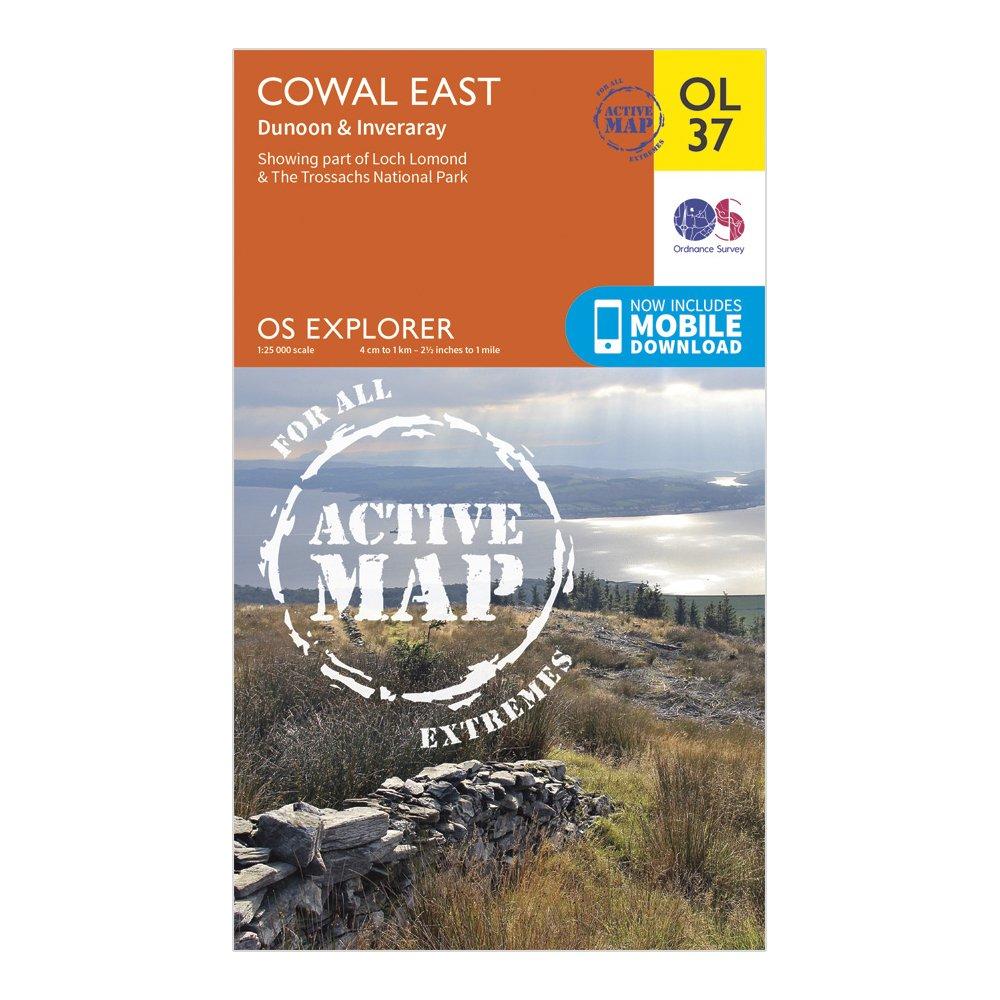
Detailed and informative explorer map of Cowal East from Ordnance SurveyCovers Loch Lomond, The Trossachs National Park, Argyll Forest Park, Kyles of Bute, Loch Fyne, Holy Loch and West Island WayScale: 1:25000Now includes Mobile DownloadActive weatherproof versionRecommended activity - walking / hiking / cycling / navigation / expedition
Best Price: £10.20 from Ultimate Outdoors
| Stockist | Catalogue Product Name | Price | |
|---|---|---|---|
| Ordnance Survey Explorer Active Ol37 Cowal East Dunoon & Inveraray Map With Digital Version - Orange, Orange | £10.20 | Visit Store |
Related Sports Products
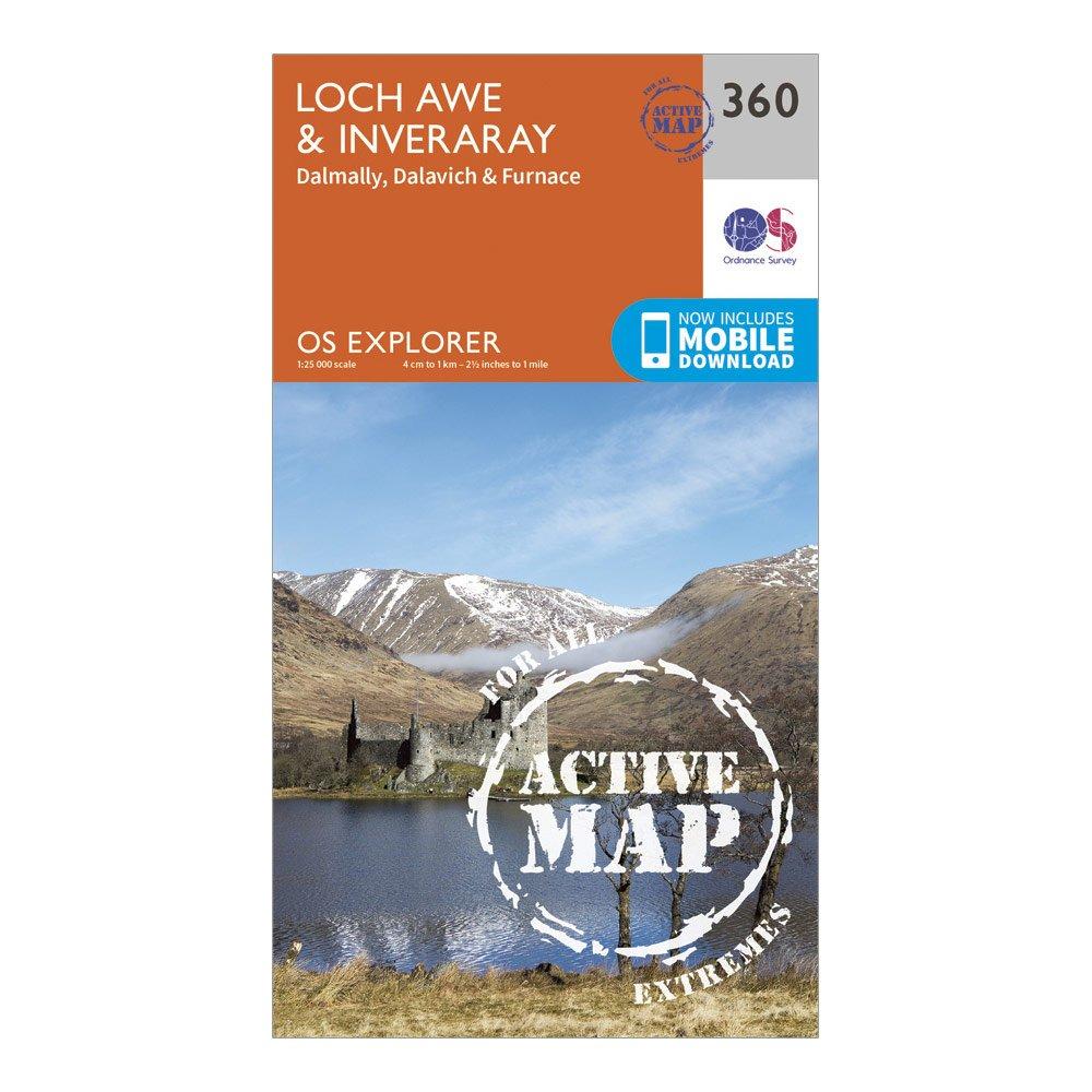
Ordnance Survey Explorer Active 360 Loch Awe & Inveraray Map With Digital Version - Orange, Orange
Providing complete GB coverage, the OS Explorer map series details information essential in the great outdoors, including youth hostels, pubs and visitor information. Rights of way, fences, permissive paths and bridleways are clearly shown, ensuring you have the best information to get the most out of...
Providing complete GB coverage, the OS Explorer map series details information essential in the great outdoors, including youth hostels, pubs and visitor information. Rights of way, fences, permissive paths and bridleways are clearly shown, ensuring you have the best information to get the most out of...
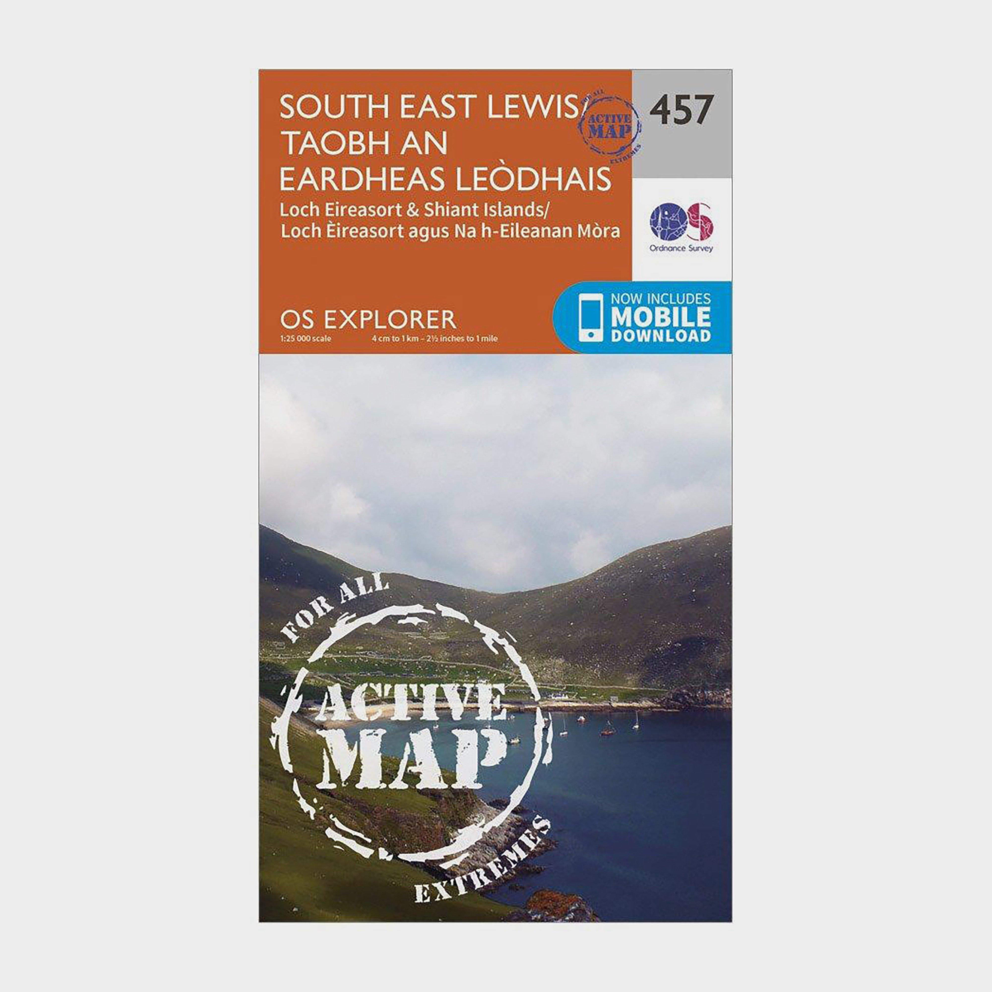
Ordnance Survey Explorer Active 457 South East Lewis Map With Digital Version - Orange, Orange
Providing complete GB coverage, the OS Explorer map series details information essential in the great outdoors, including youth hostels, pubs and visitor information. Rights of way, fences, permissive paths and bridleways are clearly shown, ensuring you have the best information to get the most out of...