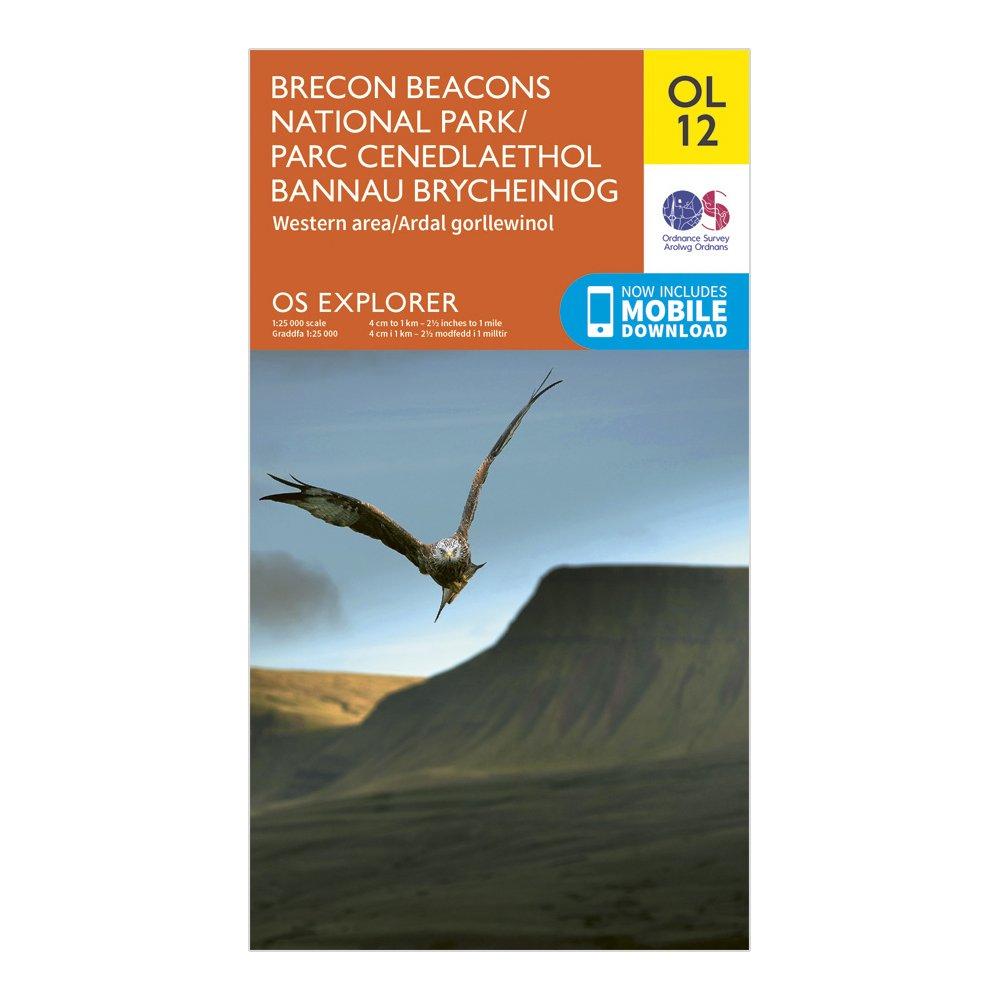
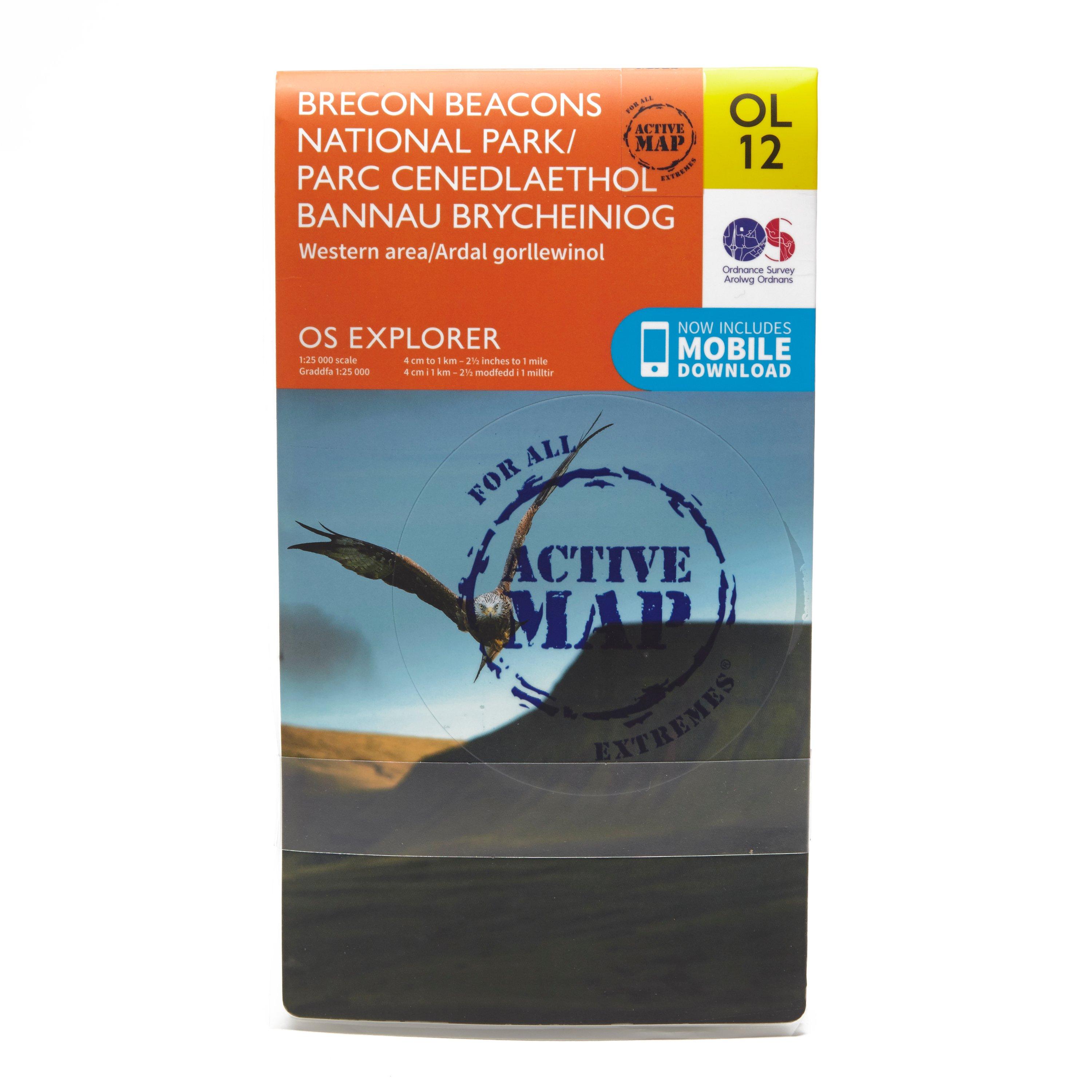
FeaturesRhymney Valley Ridgeway FootpathUsk Valley WalkTaff TrailSt Illtyd's WalkBrecon/AberhondduMerthyr Tydfil/Merthyr TudfulBrecon Beacons National ParkMid GlamorganWest GlamorganDyfedPowys1:25 000 scale (4 cm to 1 km - 2.5 inches to 1 mile)This map comes with a digital version which you can download to your smartphone or tablet
Best Price: £7.80 from Ultimate Outdoors
| Stockist | Catalogue Product Name | Price | |
|---|---|---|---|
| Ordnance Survey Explorer Ol 12 Brecon Beacons National Park - Western & Central Areas Map, D | £7.80 | Visit Store |
Related Sports Products
FeaturesRhymney Valley Ridgeway FootpathUsk Valley WalkTaff TrailSt Illtyd's WalkBrecon/AberhondduMerthyr Tydfil/Merthyr TudfulBrecon Beacons National ParkMid GlamorganWest GlamorganDyfedPowys1:25 000 scale (4 cm to 1 km - 2.5 inches to 1 mile)This map comes with a digital version which you can download...
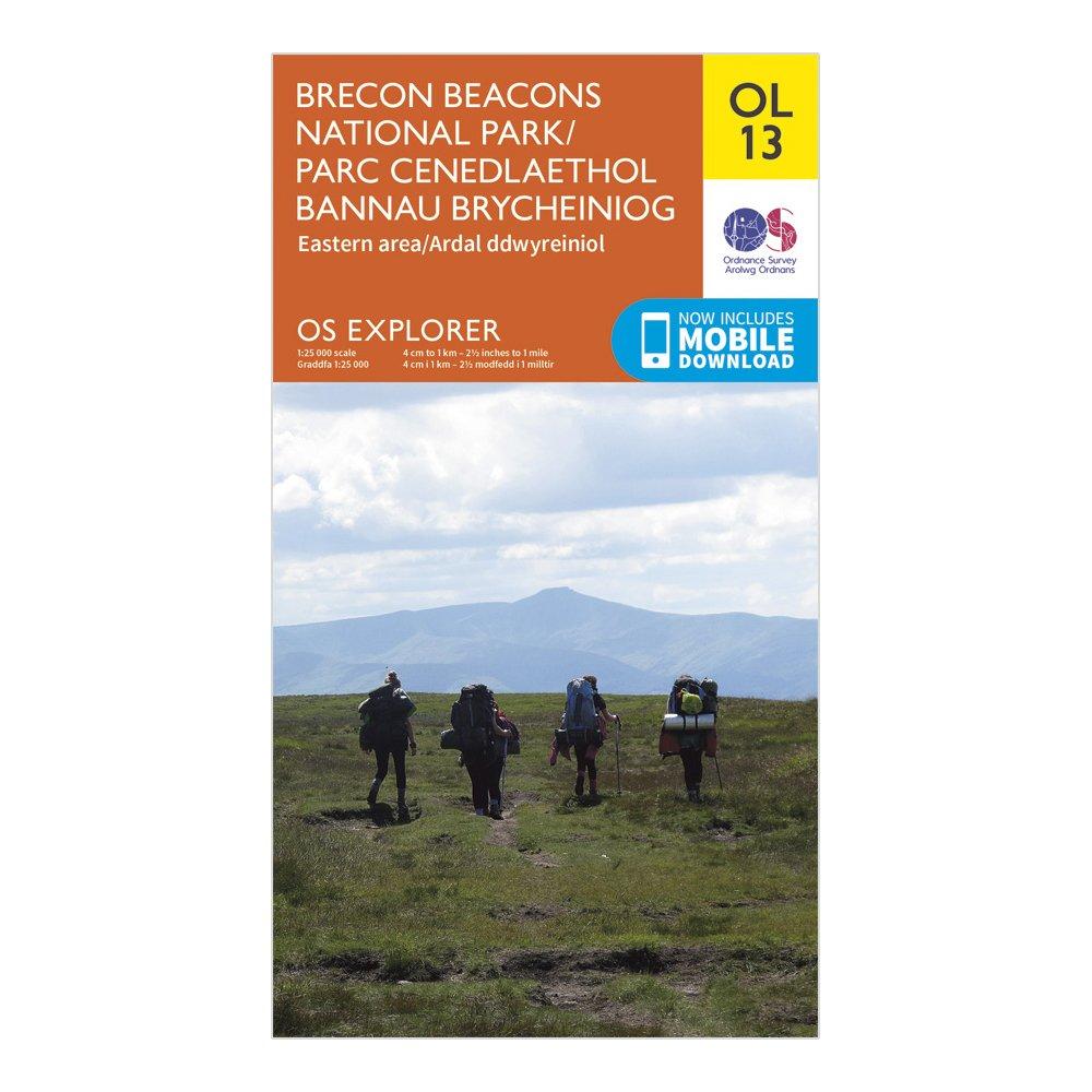
Ordnance Survey Explorer Ol 13 Brecon Beacons National Park - Eastern Area Map, D
FeaturesOffa's Dyke PathWye Valley Walk (Guide Book)Rhymney Valley Ridgeway FootpathUsk Valley WalkSirhowy Valley WalkThree Castles WalkTaff TrailEbbw Valley WalkMarches Way (Delete from mapping)Offa's Dyke Path (National Trail)Abergavenny/Y FenniHay-on-WyeBrecon Beacons National ParkPowysHereford and...
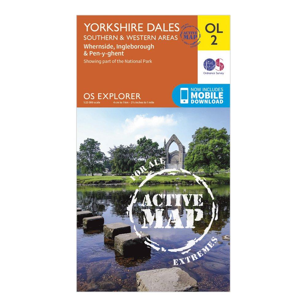
Ordnance Survey Explorer Active Ol2 Yorkshire Dales - Southern & Western Areas, D
FeaturesPennine WayDales WayDales Way (Guide Book)Ribble WayLimestone Link (Cumbria)Lune Valley RambleMillennium WayPennine Way (National Trail)E2 (European Long Distance Route)SettleSkiptonNorth YorkshireLancashireYorkshire Dales National ParkCumbria1:25 000 scale (4 cm to 1 km - 2.5 inches to 1 mile)This...