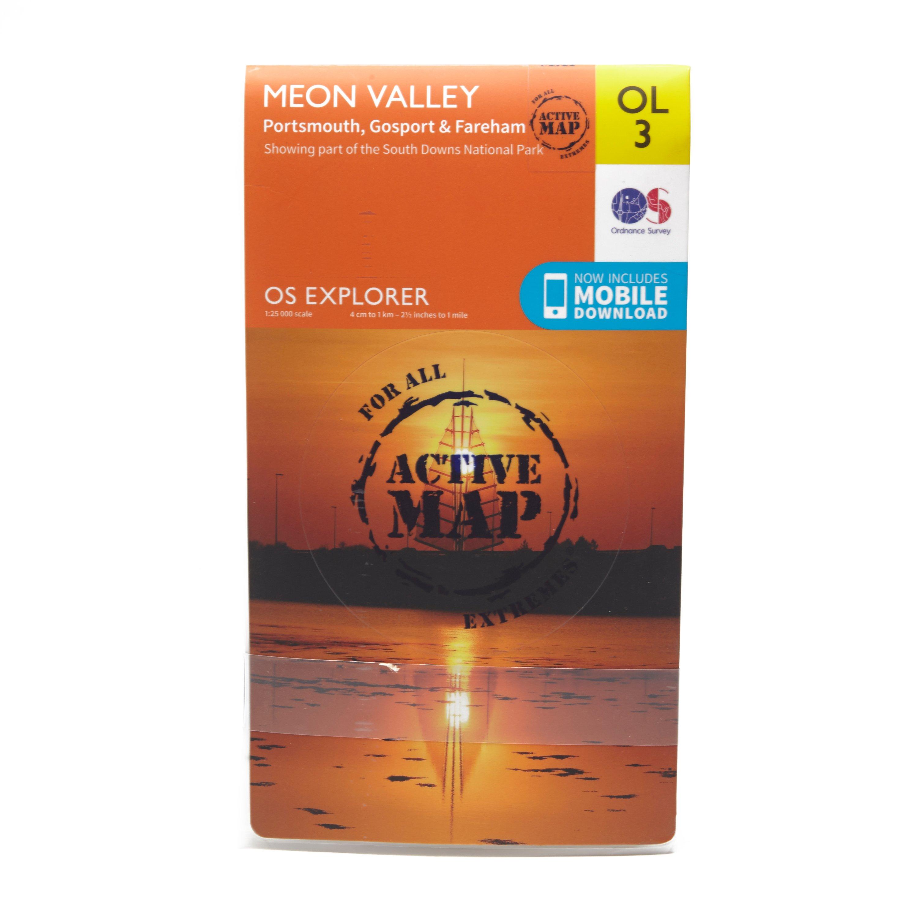
Detailed and easy to read map from Ordnance SurveyScale: 1:25,000Covers Portsmouth, Gosport, Fareham, Waterlooville, Droxford, Owslebury, part of the South Downs Trail, Solent Way, Kings Way, Pilgrim's Trail and Wayfarers WalkIncludes mobile download of map for use on your smartphoneShows tourist information points, popular sites, viewpoints, places of information and rights of way informationRecommended activity - navigation
Best Price: £10.20 from Ultimate Outdoors
| Stockist | Catalogue Product Name | Price | |
|---|---|---|---|
| Ordnance Survey Explorer Ol 3 Active D Meon Valley Map - Orange, Orange | £10.20 | Visit Store |
Related Sports Products
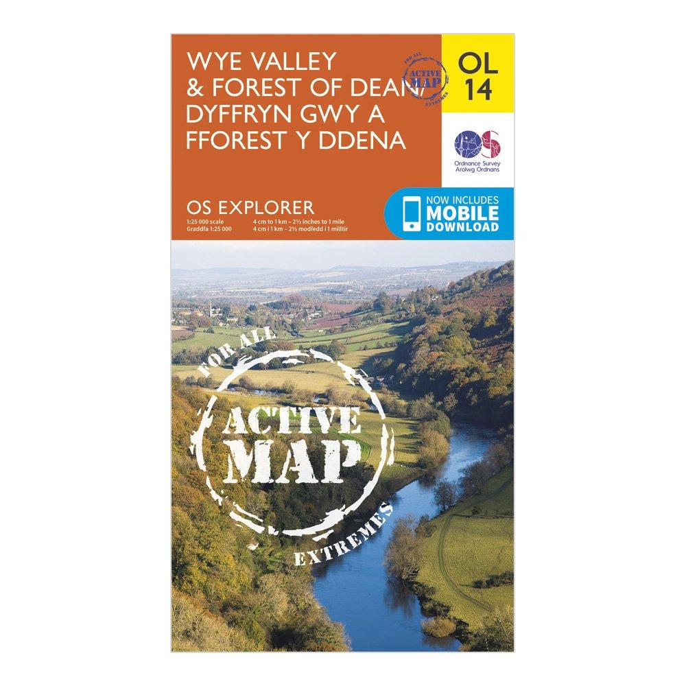
Ordnance Survey Explorer Active Ol 14 Wye Valley & Forest Of Dean Map - Orange, Orange
FeaturesOffa's Dyke PathWye Valley Walk (Guide Book)Severn WayDaffodil WayThree Castles WalkJubilee Way (Avon)Gloucestershire WayWysis WayOffa's Dyke Path (National Trail)Chepstow/Cas-GwentMonmouth/ TrefynwyRoss-on-WyeHereford and WorcesterGloucesterGwentWye Valley & Forest of Dean1:25 000 scale (4 cm...
Providing complete GB coverage, the OS Explorer map series details information essential in the great outdoors, including youth hostels, pubs and visitor information. Rights of way, fences, permissive paths and bridleways are clearly shown, ensuring you have the best information to get the most out of...
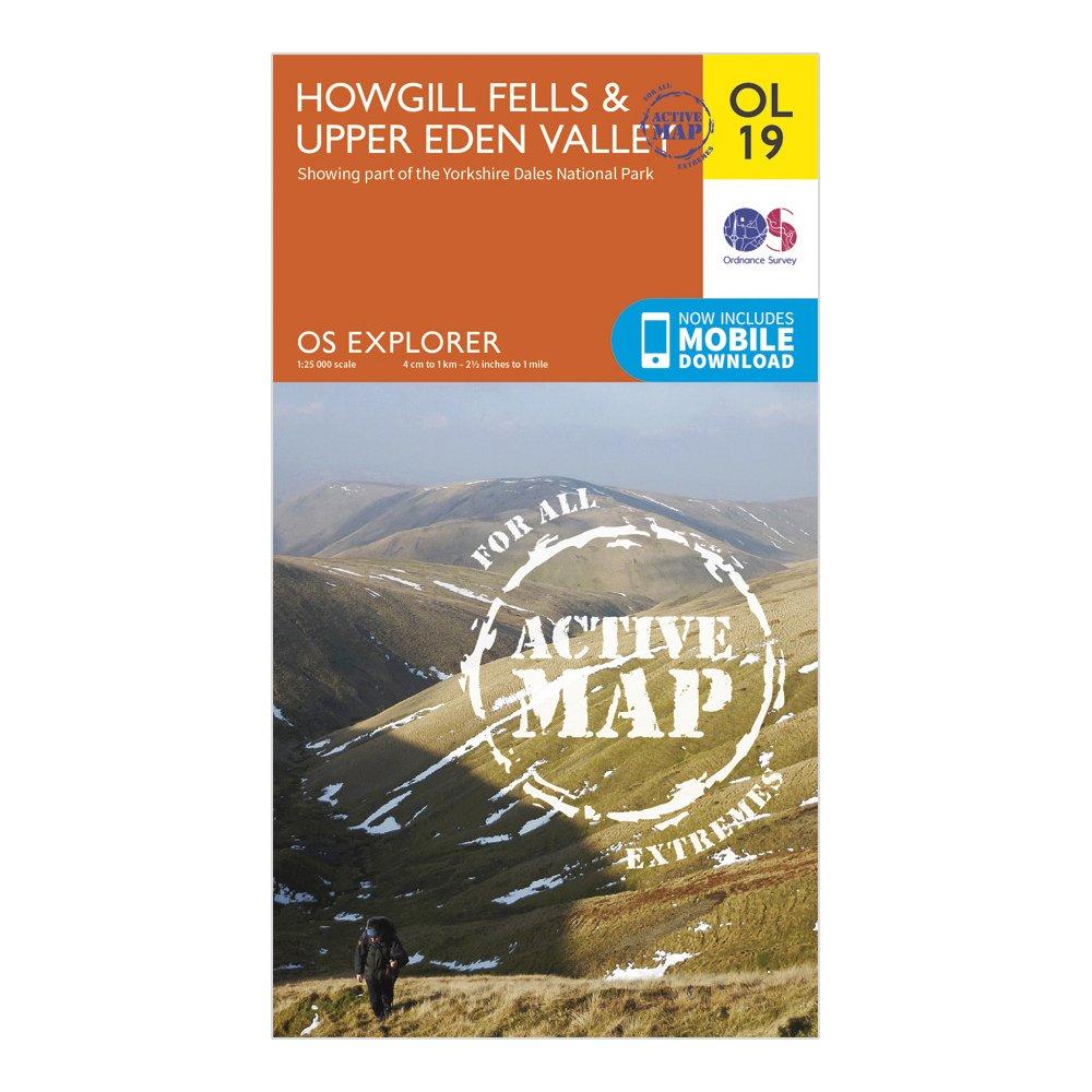
Ordnance Survey Ol 19 Explorer Howgill Fells And Upper Eden Valley Active Map - Orange, Orange
FeaturesDetailed and easy to read map from Ordnance SurveyScale: 1:25,000Shows tourist information points, popular sites, viewpoints, places of interest and rights of way informationActive weatherproof version