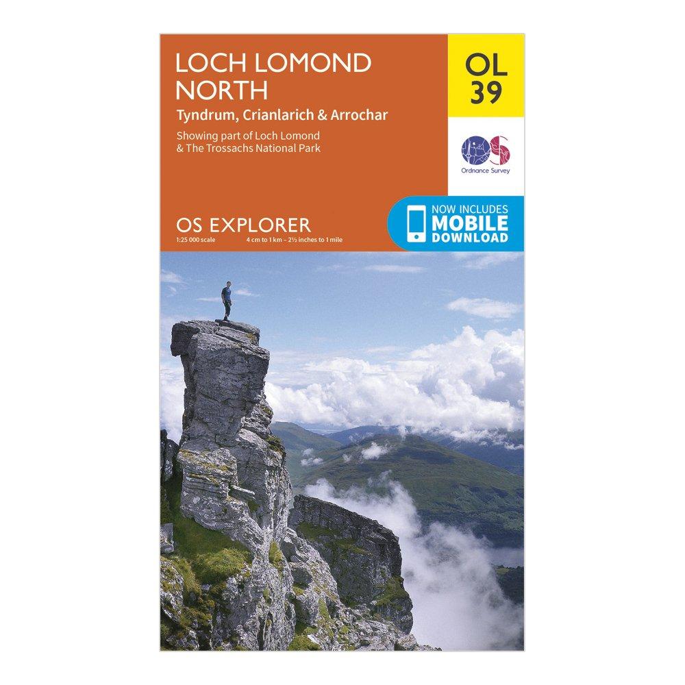
FeaturesLoch Lomond & The Trossachs National ParkWest Highland WayWest Highland Way (Long Distance Route)CentralStrathclydeCrianlarich1:25 000 scale (4 cm to 1 km - 2.5 inches to 1 mile)This map comes with a digital version which you can download to your smartphone or tablet.
Best Price: £7.80 from Ultimate Outdoors
| Stockist | Catalogue Product Name | Price | |
|---|---|---|---|
| Ordnance Survey Explorer Ol 39 Loch Lomond North Map, D | £7.80 | Visit Store |
Related Sports Products
Ordnance Survey Explorer Active Ol39 Loch Lomond North Map With Digital Version - Orange, Orange
Providing complete GB coverage, the OS Explorer map series details information essential in the great outdoors, including youth hostels, pubs and visitor information. Rights of way, fences, permissive paths and bridleways are clearly shown, ensuring you have the best information to get the most out of...
Ordnance Survey Explorer Ol38 Loch Lomond South Map With Digital Version, D
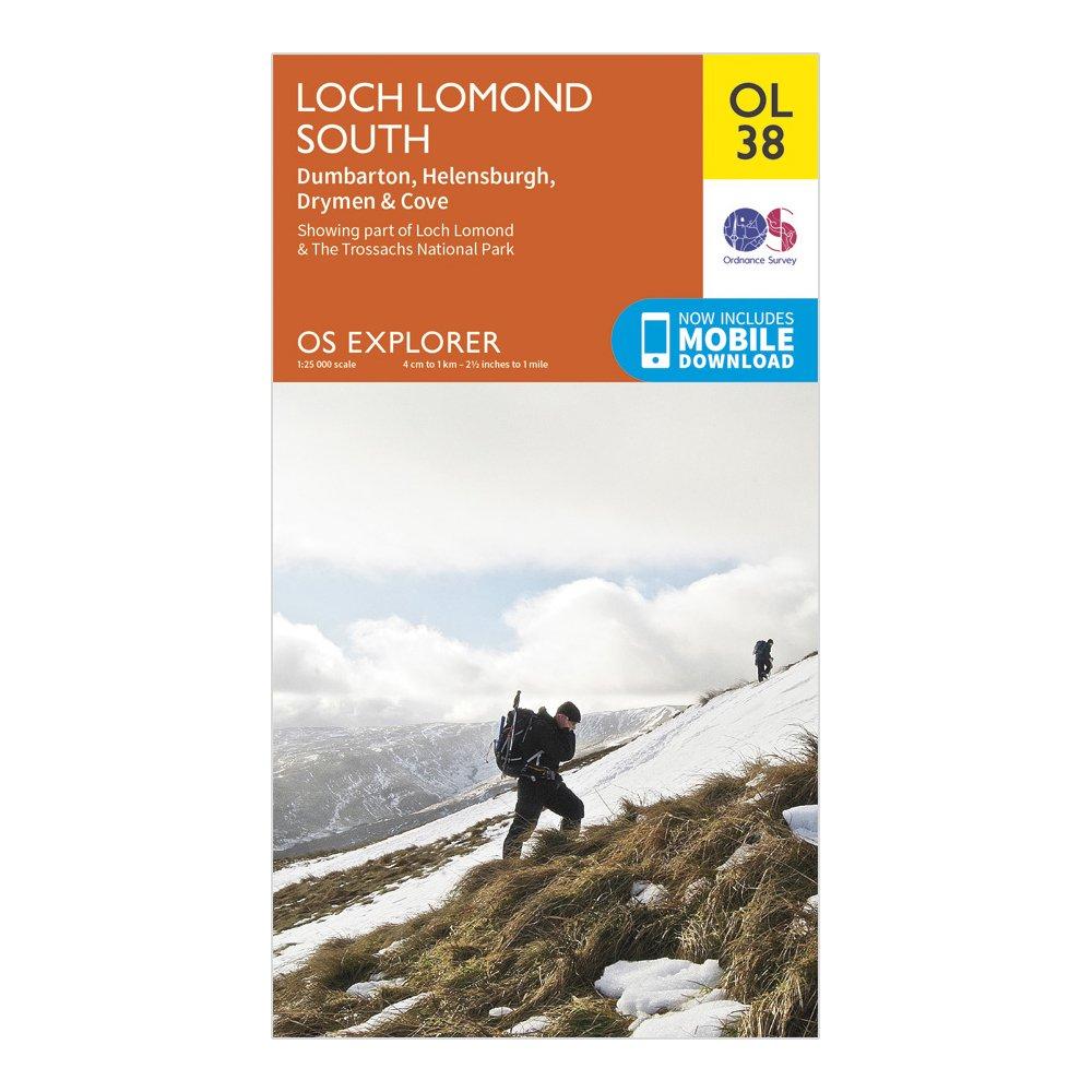
Providing complete GB coverage, the OS Explorer map series details information essential in the great outdoors, including youth hostels, pubs and visitor information. Rights of way, fences, permissive paths and bridleways are clearly shown, ensuring you have the best information to get the most out of...
Ordnance Survey Explorer Active Ol38 Loch Lomond South Map - Orange, Orange
FeaturesLoch Lomond & The Trossachs National ParkWest Highland WayWest Highland Way (Long Distance Route)CentralStrathclydeDumbarton1:25 000 scale (4 cm to 1 km - 2.5 inches to 1 mile)Active weatherproof mapThis map comes with a digital version which you can download to your smartphone or tablet.