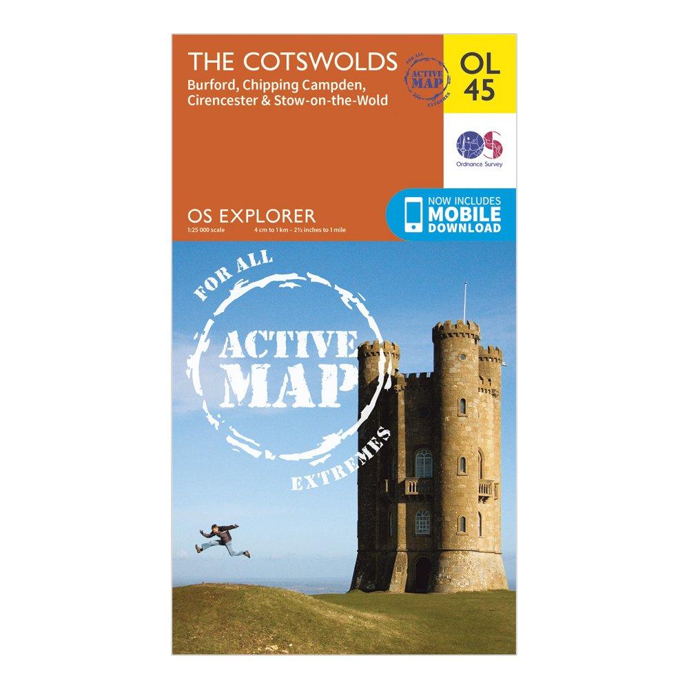
Detailed and easy to read map from Ordnance SurveyScale: 1:25,000Covers the Cotswold Hills, Wychwood Community Forest, the Cotswold Way, Stow-on-the-Wold, Burford, Cirencester and Chipping CampdenIncludes mobile download of map for use on your smartphoneShows tourist information points, popular sites, viewpoints, places of information and rights of way informationRecommended activity - navigation
Best Price: £10.20 from Ultimate Outdoors
| Stockist | Catalogue Product Name | Price | |
|---|---|---|---|
| Ordnance Survey Explorer Ol 45 Active D The Cotswolds Map - Orange, Orange | £10.20 | Visit Store |
Related Sports Products
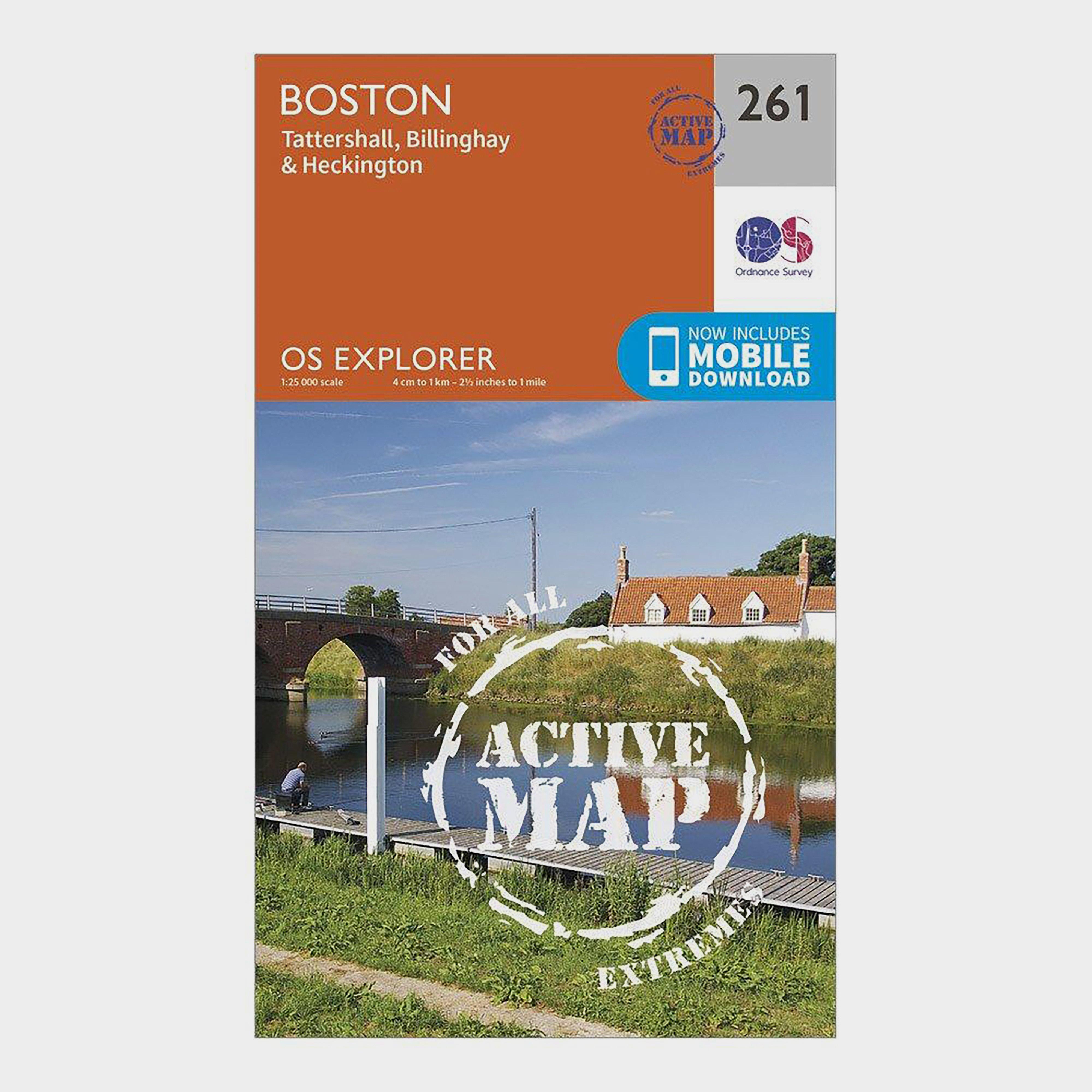
Ordnance Survey Explorer Active 261 Boston Map With Digital Version - Orange, Orange
Providing complete GB coverage, the OS Explorer map series details information essential in the great outdoors, including youth hostels, pubs and visitor information. Rights of way, fences, permissive paths and bridleways are clearly shown, ensuring you have the best information to get the most out of...
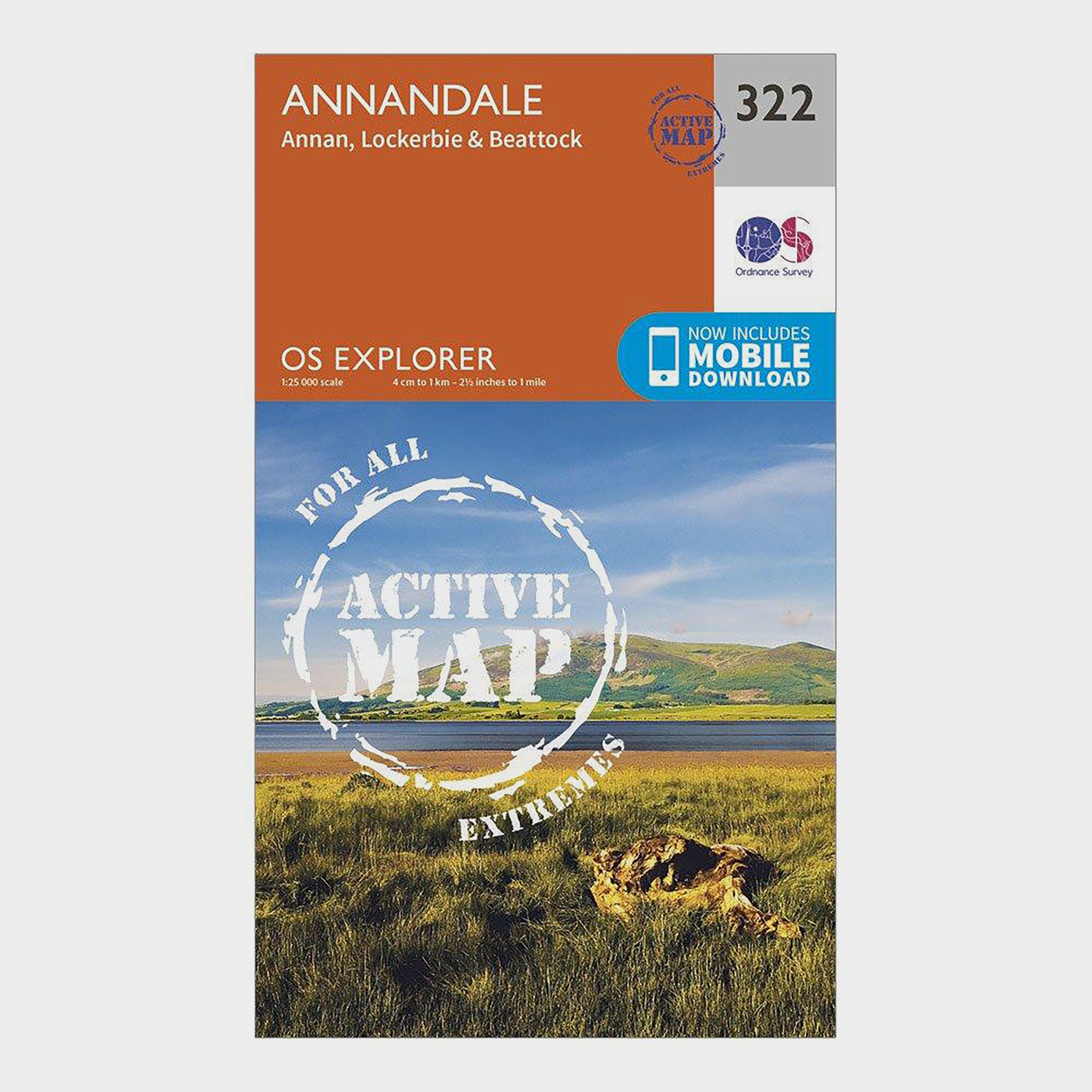
Ordnance Survey Explorer Active 322 Annandale Map With Digital Version - Orange, Orange
Providing complete GB coverage, the OS Explorer map series details information essential in the great outdoors, including youth hostels, pubs and visitor information. Rights of way, fences, permissive paths and bridleways are clearly shown, ensuring you have the best information to get the most out of...
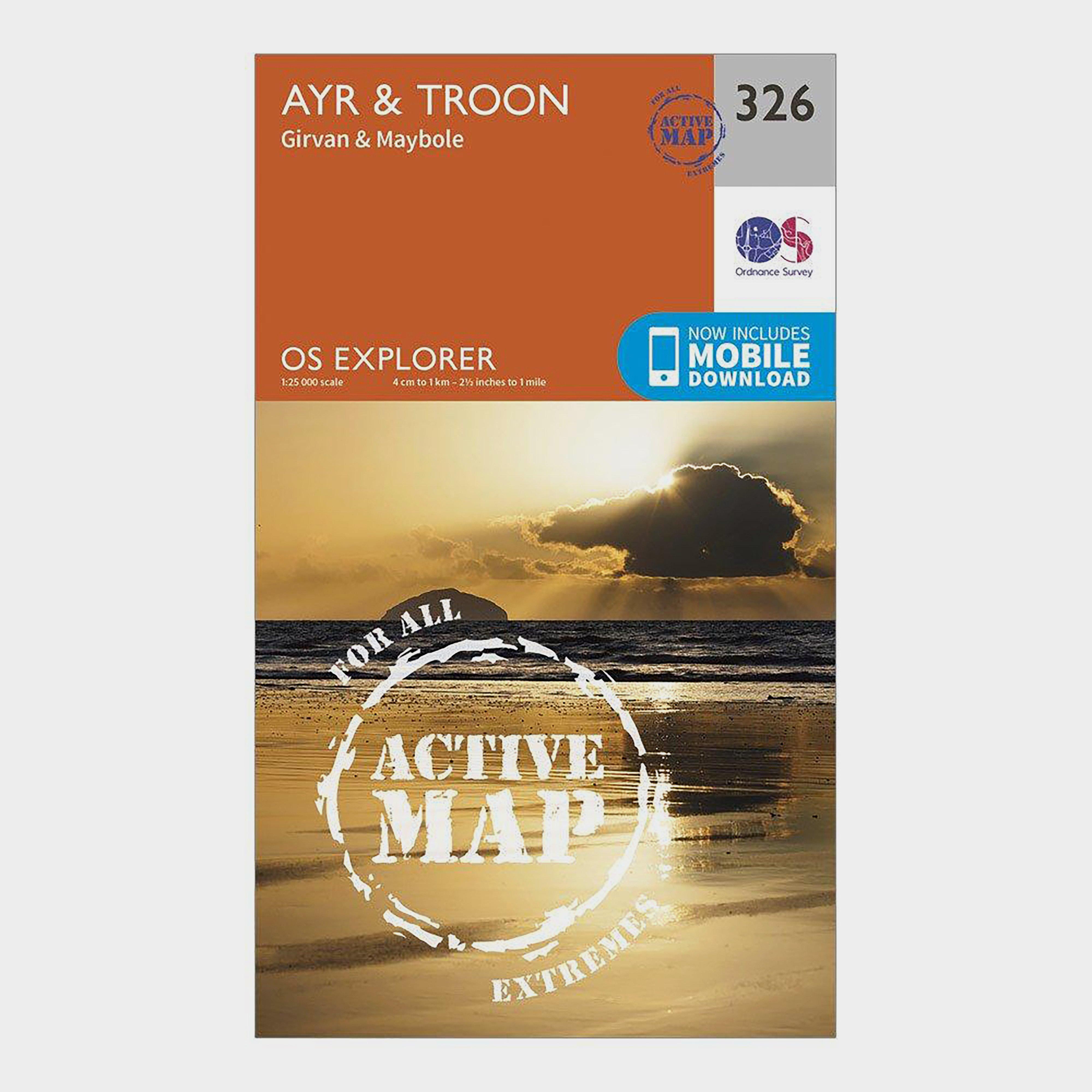
Ordnance Survey Explorer Active 326 Ayr & Troon Map With Digital Version - Orange, Orange
Providing complete GB coverage, the OS Explorer map series details information essential in the great outdoors, including youth hostels, pubs and visitor information. Rights of way, fences, permissive paths and bridleways are clearly shown, ensuring you have the best information to get the most out of...