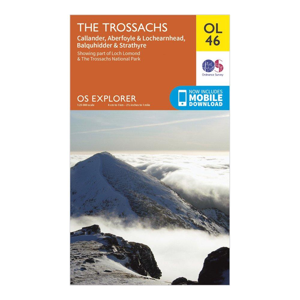
FeaturesLoch Lomond & The Trossachs National ParkWest Highland WayWest Highland Way (Long Distance Route)CentralCallander1:25 000 scale (4 cm to 1 km - 2.5 inches to 1 mile)This map comes with a digital version which you can download to your smartphone or tablet.
Best Price: £7.80 from Ultimate Outdoors
| Stockist | Catalogue Product Name | Price | |
|---|---|---|---|
| Ordnance Survey Explorer Ol 46 The Trossachs Map, D | £7.80 | Visit Store |
Related Sports Products
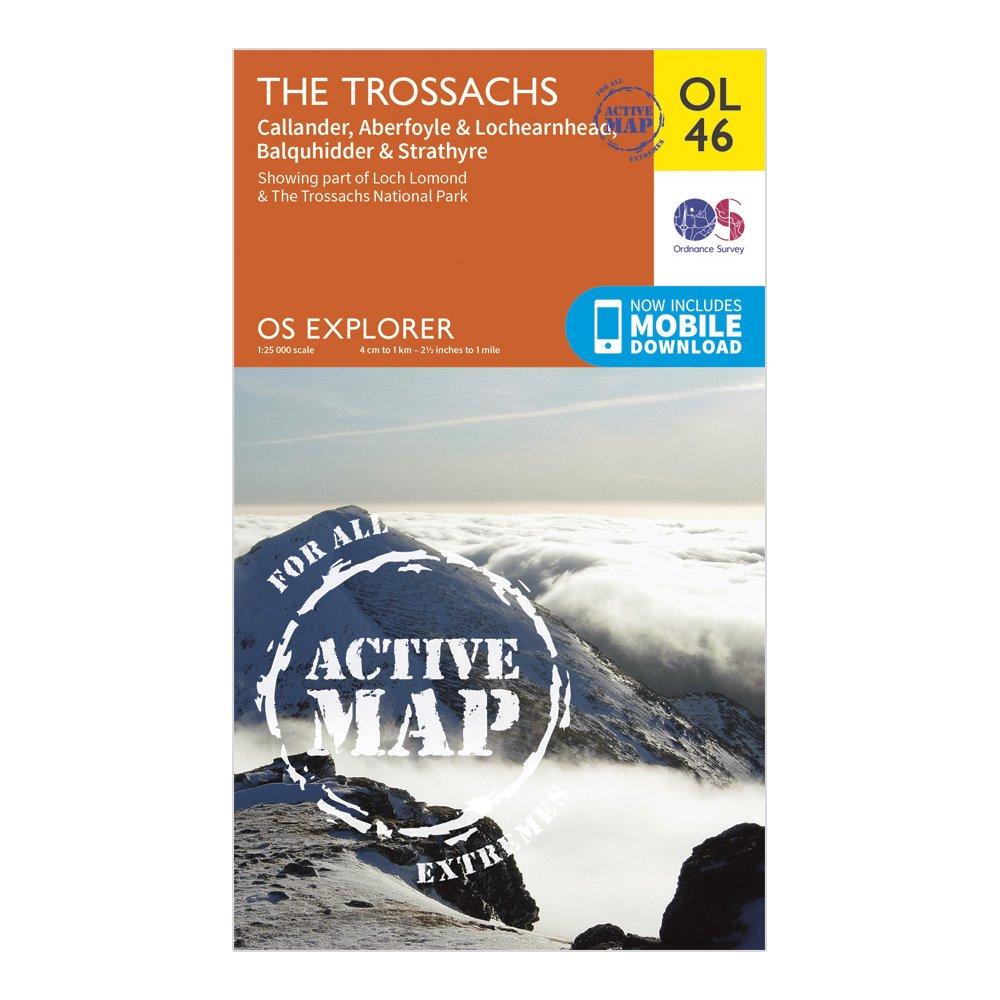
Ordnance Survey Explorer Active Ol46 The Trossachs Map With Digital Version - Orange, Orange
The essential map for outdoor activities in Kielder Water and Forest. The OS Explorer Map is the Ordnance Survey's most detailed folding map and is recommended for anyone enjoying outdoor activities including walking, horse riding and off-road cycling. This map now comes with a digital version which...
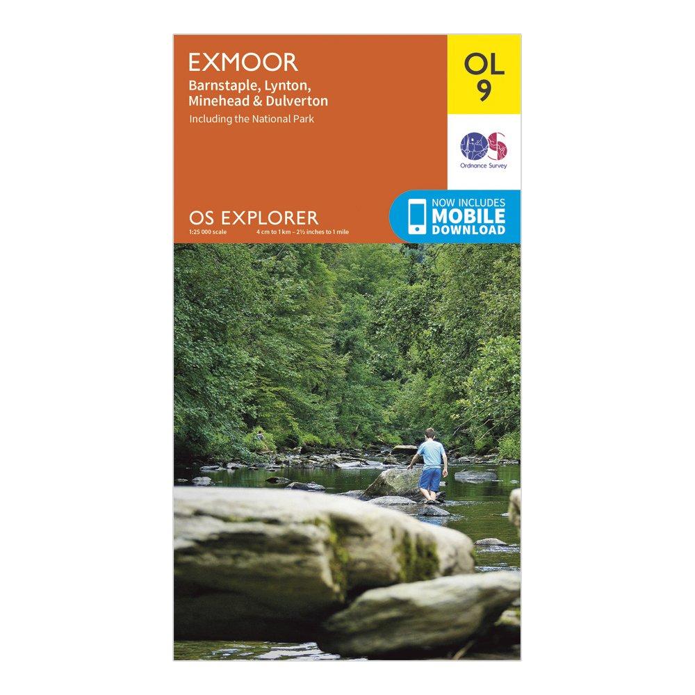
Ordnance Survey Explorer Ol 9 Exmoor Map, D
Detailed and informative explorer map of Exmoor from Ordnance SurveyCovers Banstaple, Lynton, Minehead, Dulverton and the National ParkScale: 1:25000Now includes Mobile DownloadRecommended activity - walking / hiking / cycling / navigation / expedition
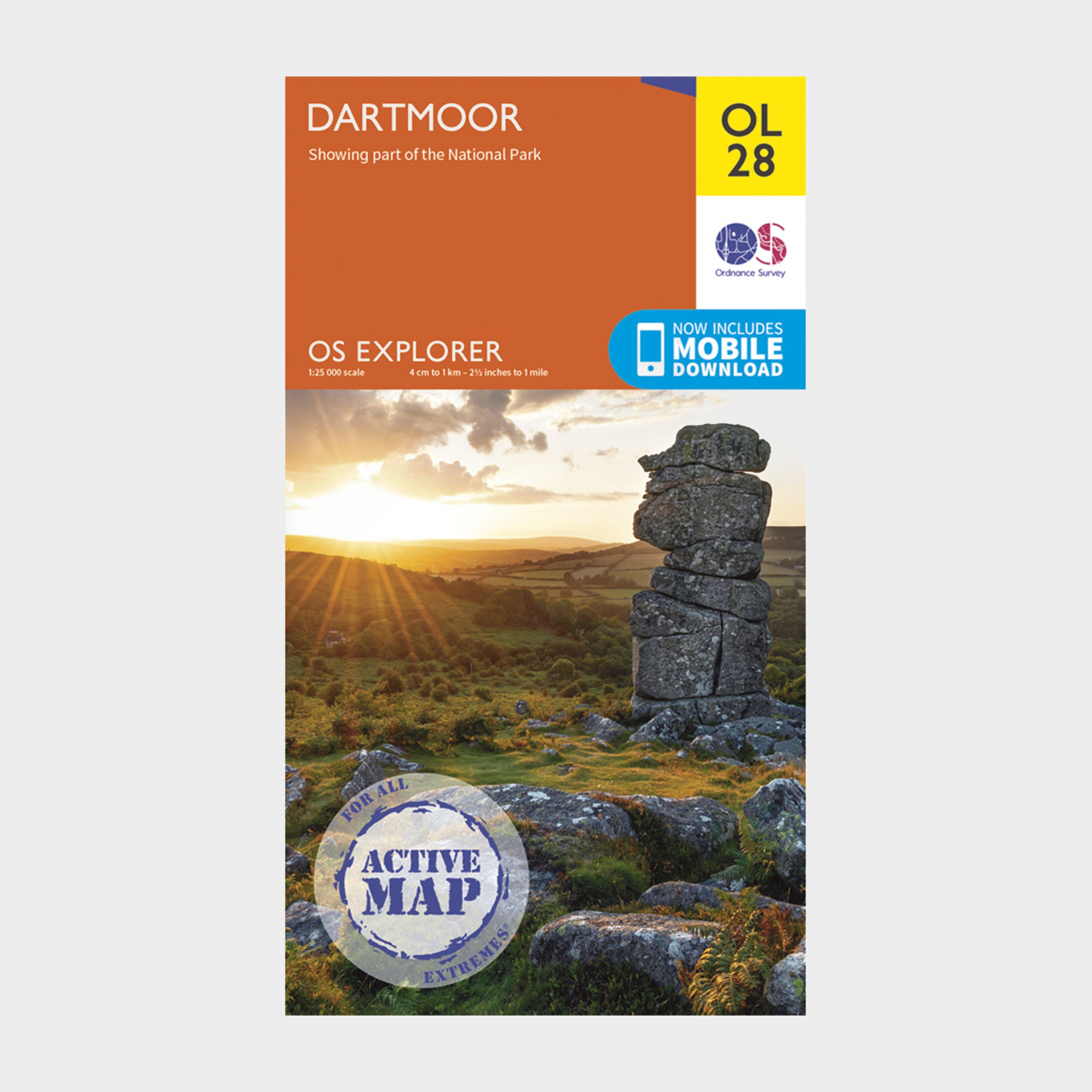
Ordnance Survey Explorer Active Ol 28 Dartmoor Map, D
FeaturesTwo Moors Way (Guide Book)Templer WayTarka TrailWest Devon WayErme Plym TrailTwo Castles TrailDartmoor WayTaw-Teign LinkOkehamptonTavistockDevonDartmoor National ParkWeatherproof active map1:25 000 scale (4 cm to 1 km - 2.5 inches to 1 mile)This map comes with a digital version which you can...


