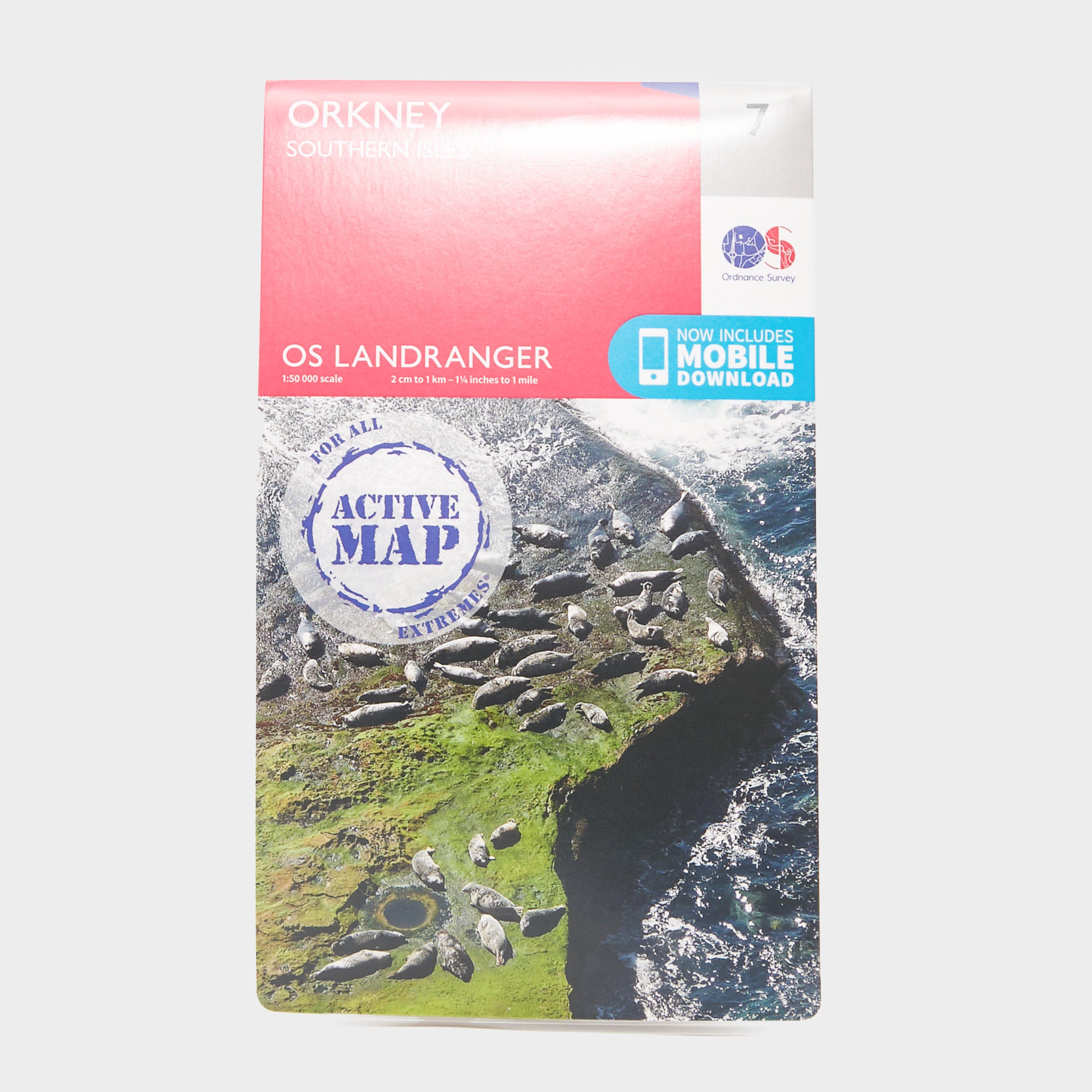
The 1:50k scale mapping provides an ideal compromise between detail and coverage whilst still retaining topographical and contour properties.is the ideal map for planning the perfect day out. Whether visiting town or country, a wealth of visitor attractions, including National Trust properties, museums, gardens, golf courses and castles, are illustrated. The 1:50k scale mapping provides an ideal compromise between detail and coverage whilst still retaining topographical and contour properties.7 Orkney Southern Isles featuring:1:50,000 scale2 cm to 1 km or 1¼ inches to 1 mileOrkneys Kirkwall StormnessOS Landranger map features include:Roads, railways and ferry routesPaths, national trails and...
Best Price: £10.20 from Ultimate Outdoors
| Stockist | Catalogue Product Name | Price | |
|---|---|---|---|
| Ordnance Survey Landranger Active 7 Orkney Southern Isles Map With Digital Version - Orange, ORANGE | £10.20 | Visit Store |
Related Sports Products
Ordnance Survey Explorer Active 439 Coigach & Summer Isles Map With Digital Version - Orange, Orange
Providing complete GB coverage, the OS Explorer map series details information essential in the great outdoors, including youth hostels, pubs and visitor information. Rights of way, fences, permissive paths and bridleways are clearly shown, ensuring you have the best information to get the most out of...
Providing complete GB coverage, the OS Explorer map series details information essential in the great outdoors, including youth hostels, pubs and visitor information. Rights of way, fences, permissive paths and bridleways are clearly shown, ensuring you have the best information to get the most out of...
Providing complete GB coverage, the OS Explorer map series details information essential in the great outdoors, including youth hostels, pubs and visitor information. Rights of way, fences, permissive paths and bridleways are clearly shown, ensuring you have the best information to get the most...


