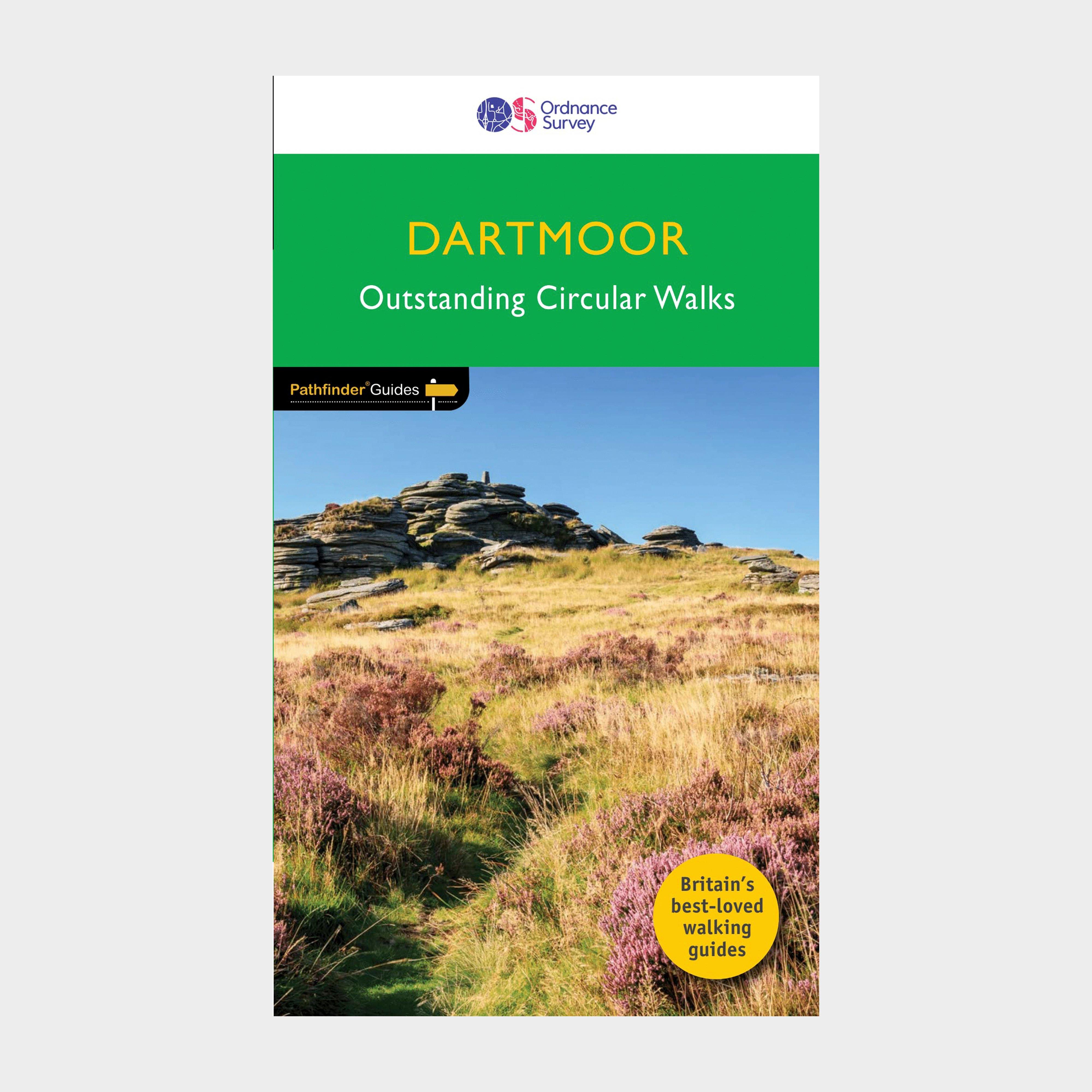
The Ordnance Survey Pathfinder series provides comprehensive information on local walks of varying lengths around Dartmoor. The series uses written descriptions and Ordnance Survey mapping to guide walkers along circular, graded routes around the area._A comprehensive guide book for walks in DartmoorContains circular, graded walksWide range of walks availablePaperbackContains OS explorer mapsRecommended activity - walking / hiking
Best Price: £11.00 from Ultimate Outdoors
| Stockist | Catalogue Product Name | Price | |
|---|---|---|---|
| Ordnance Survey Pathfinder 26 - Dartmoor - Green, Green | £11.00 | Visit Store |
Related Sports Products
Ordnance Survey Explorer Active Ol 28 Dartmoor Map, D
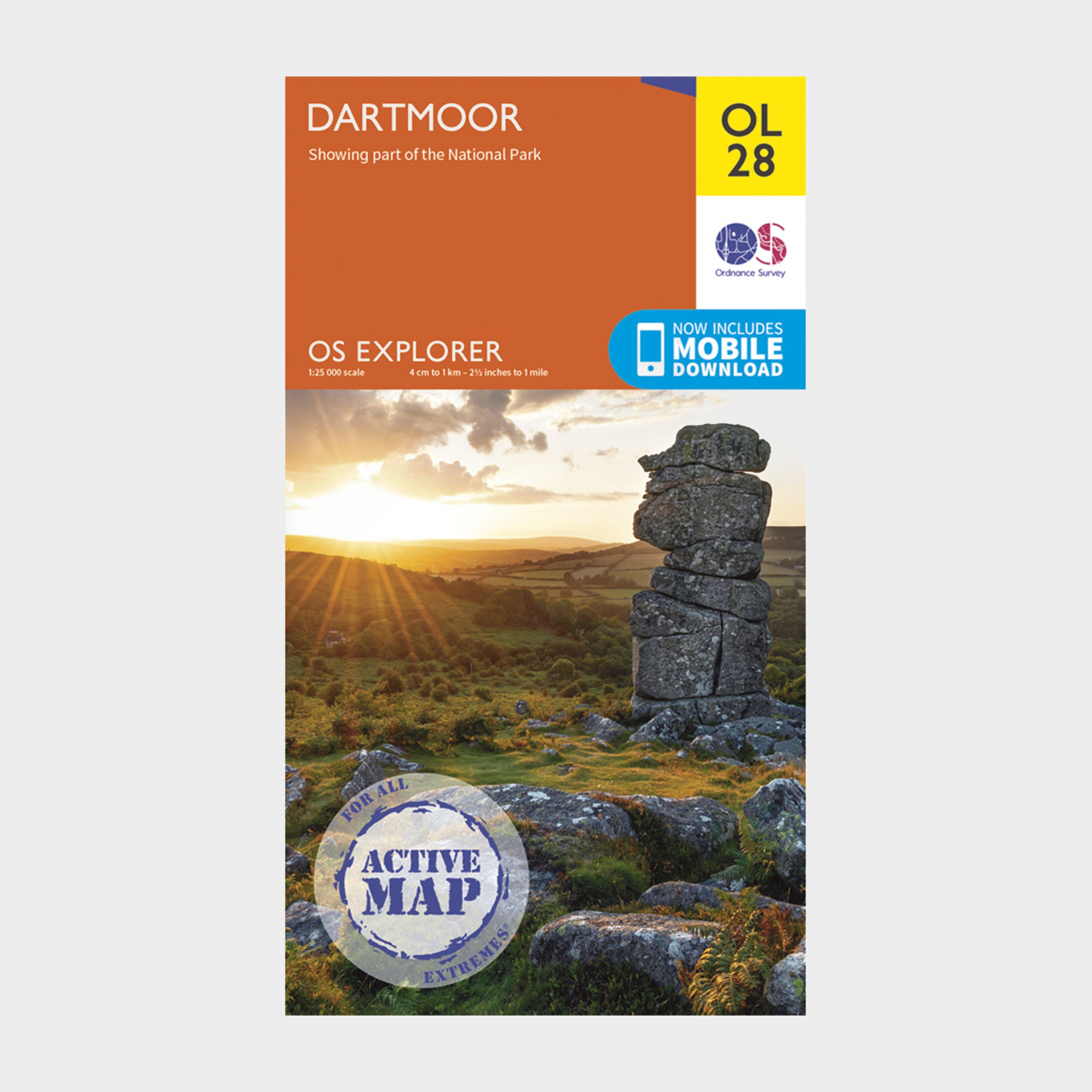
FeaturesTwo Moors Way (Guide Book)Templer WayTarka TrailWest Devon WayErme Plym TrailTwo Castles TrailDartmoor WayTaw-Teign LinkOkehamptonTavistockDevonDartmoor National ParkWeatherproof active map1:25 000 scale (4 cm to 1 km - 2.5 inches to 1 mile)This map comes with a digital version which you can...
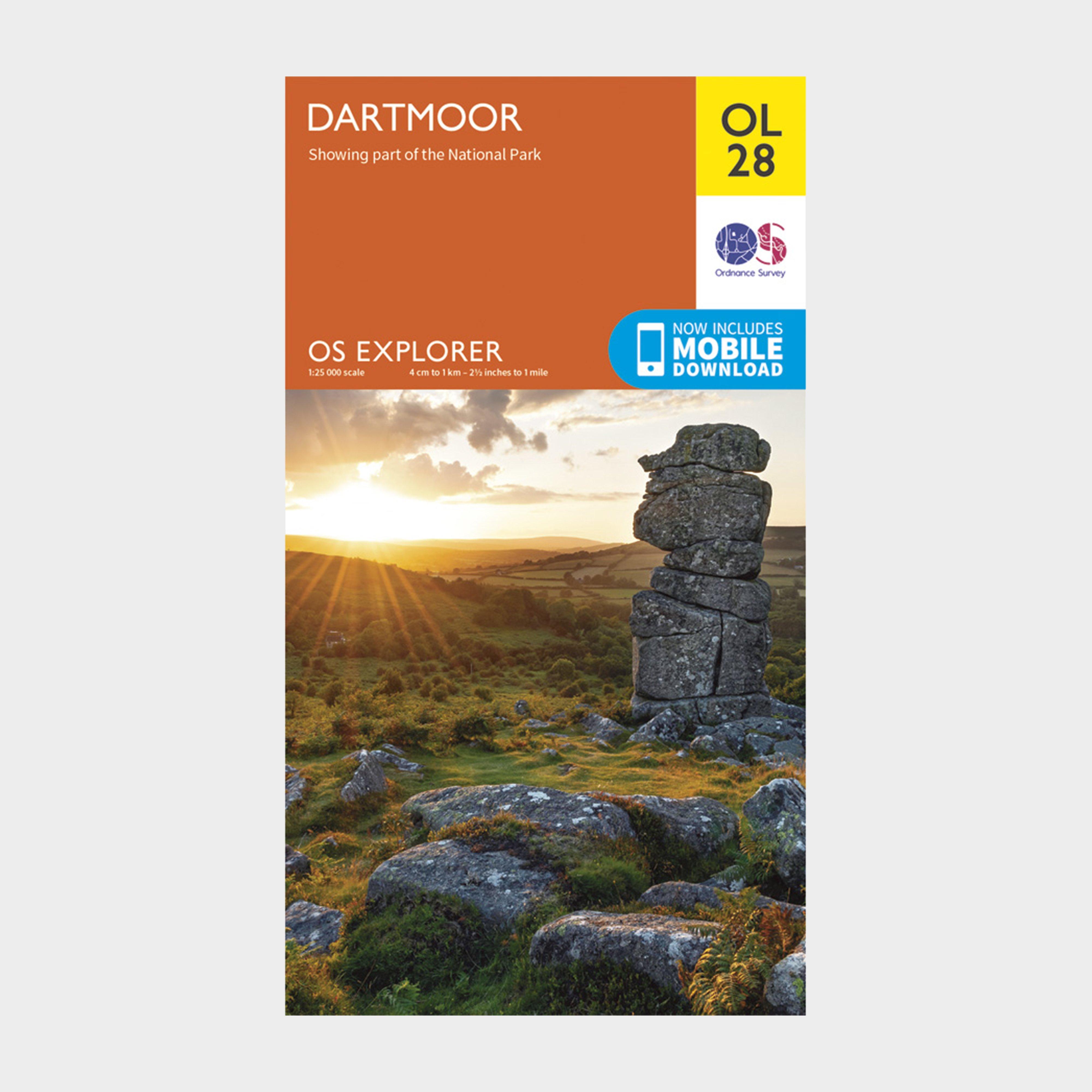
Ordnance Survey Explorer Ol28 Dartmoor Map With Digital Version - Orange, Orange
Providing complete GB coverage, the OS Explorer map series details information essential in the great outdoors, including youth hostels, pubs and visitor information. Rights of way, fences, permissive paths and bridleways are clearly shown, ensuring you have the best information to get the most...
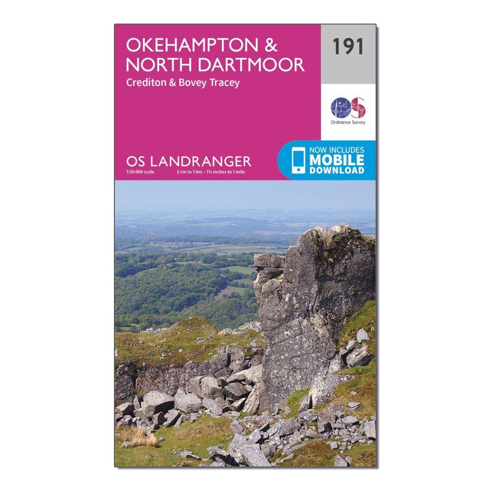
Ordnance Survey Landranger 191 Okehampton & North Dartmoor Map - Pink, Pink
This map comes with a digital version which you can download to your smartphone or tablet.Go to OS.uk/redeem for more details (terms and conditions apply).Scratch off the panel on the inside cover of the map to reveal a code, you are then just three easy steps away from downloading your digital map.If...