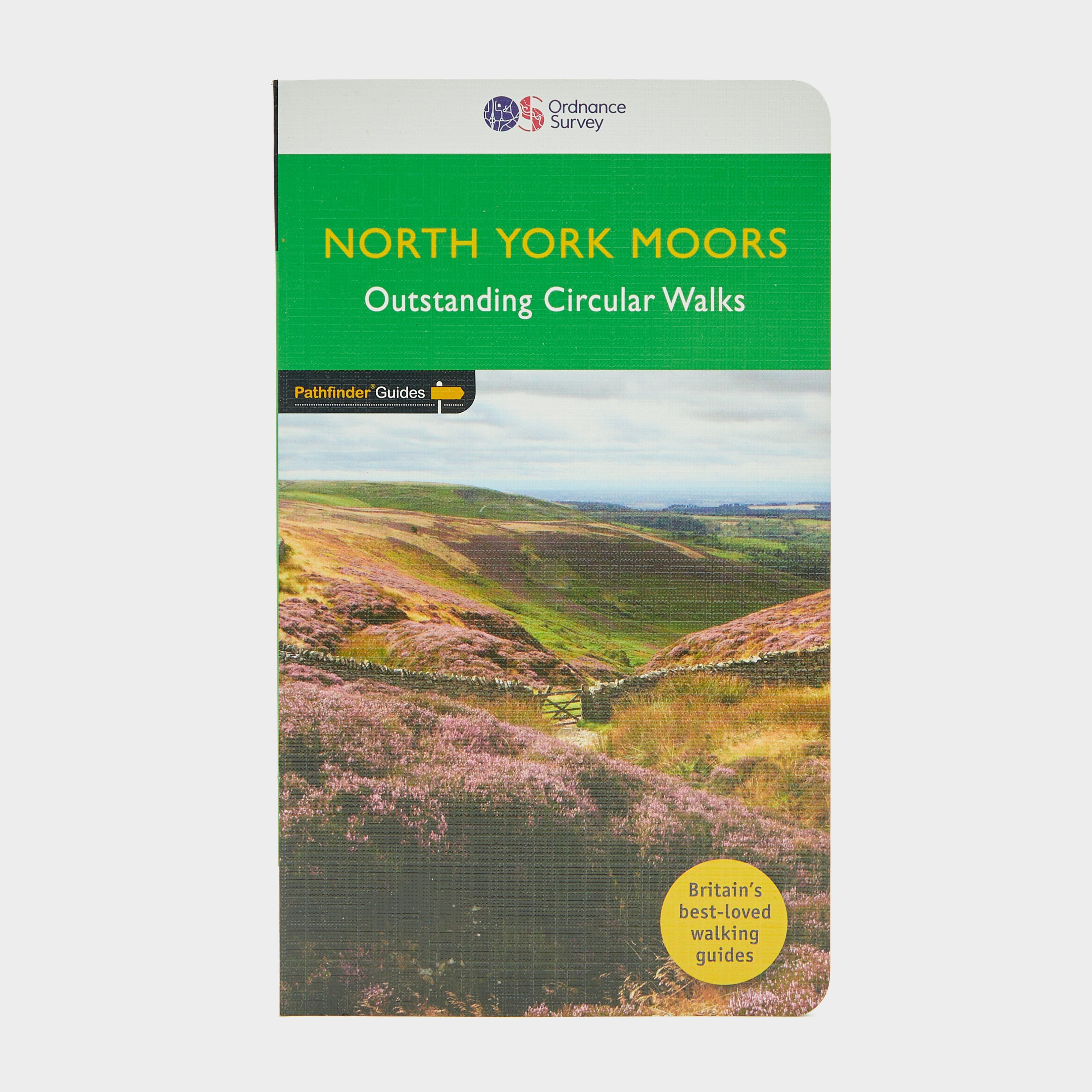
The Ordnance Survey Pathfinder series provides comprehensive information on local walks of varying lengths around North York Moors. The series uses written descriptions and Ordnance Survey mapping to guide walkers along circular, graded routes around the area._A comprehensive guide book for walks in North York MoorsContains circular, graded walksWide range of walks availablePaperbackContains OS explorer mapsRecommended activity - walking / hiking
Best Price: £11.00 from Ultimate Outdoors
| Stockist | Catalogue Product Name | Price | |
|---|---|---|---|
| Ordnance Survey Pathfinder 28 - North York Moors, MOORS | £11.00 | Visit Store |
Related Sports Products
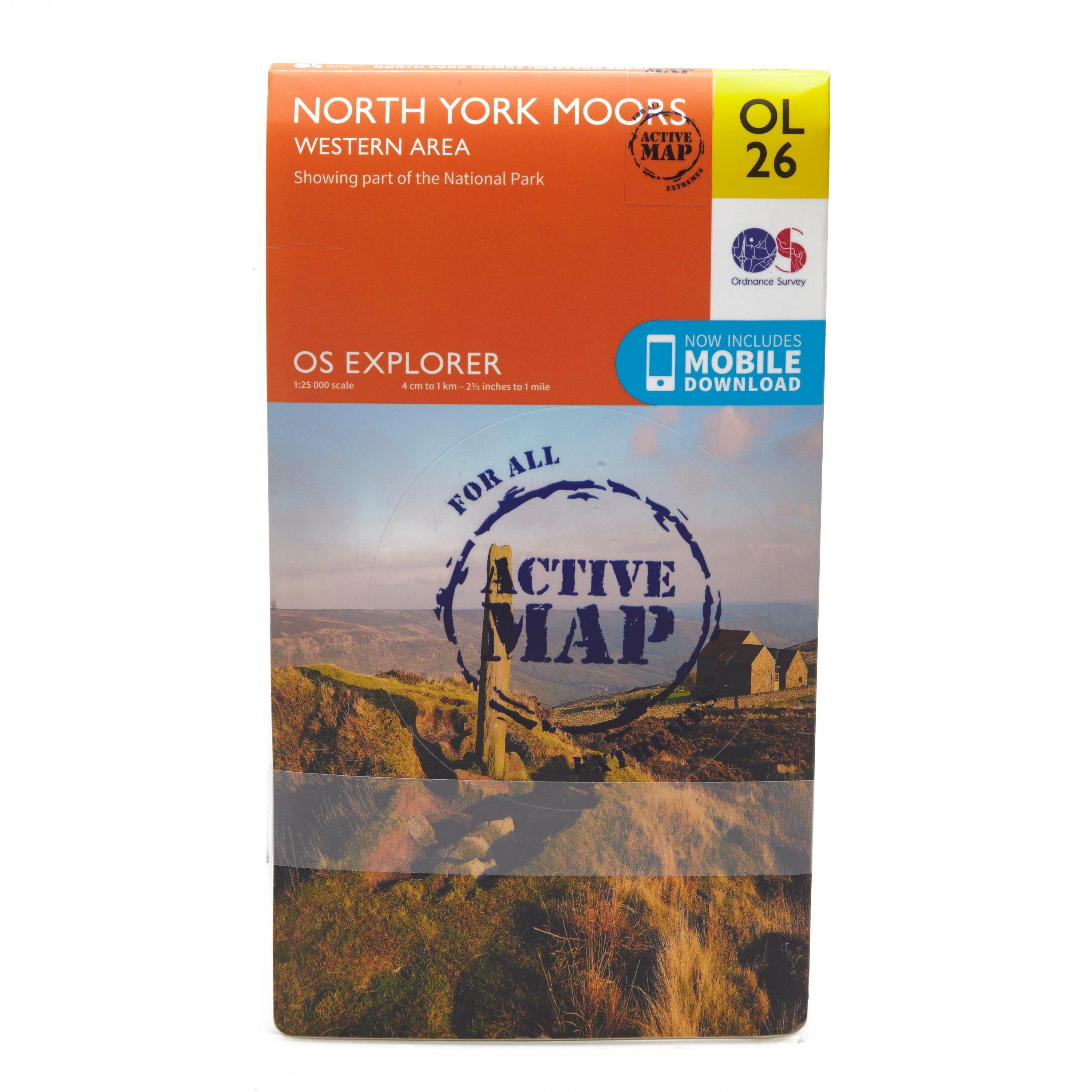
Ordnance Survey Explorer Active Ol26 North York Moors - Western Area Map, D
FeaturesCleveland WayEbor WayCleveland StreetTeesdale WayTees Link (Strategic Link to be shown at 50k)Marton West Beck TrailCleveland Way (National Trail)E2 (European Long Distance Route)MiddlesbroughNorth YorkshireNorth York Moors National ParkClevelandActive weatherproof map1:25 000 scale (4 cm to...
Ordnance Survey Explorer Ol 26 North York Moors Map (Western Area) - Orange, Orange
Detailed and informative explorer map of the North York Moors (western area) from Ordnance SurveyCovers the Cleveland Hills, Hambleton Hills, Saltburn-by-the-Sea, Guisborough, Helmsley, Roseberry Topping and a small section of the Howardian HillsScale: 1:25000Now includes Mobile DownloadRecommended activity...
Providing complete GB coverage, the OS Explorer map series details information essential in the great outdoors, including youth hostels, pubs and visitor information. Rights of way, fences, permissive paths and bridleways are clearly shown, ensuring you have the best information to get the most out of...