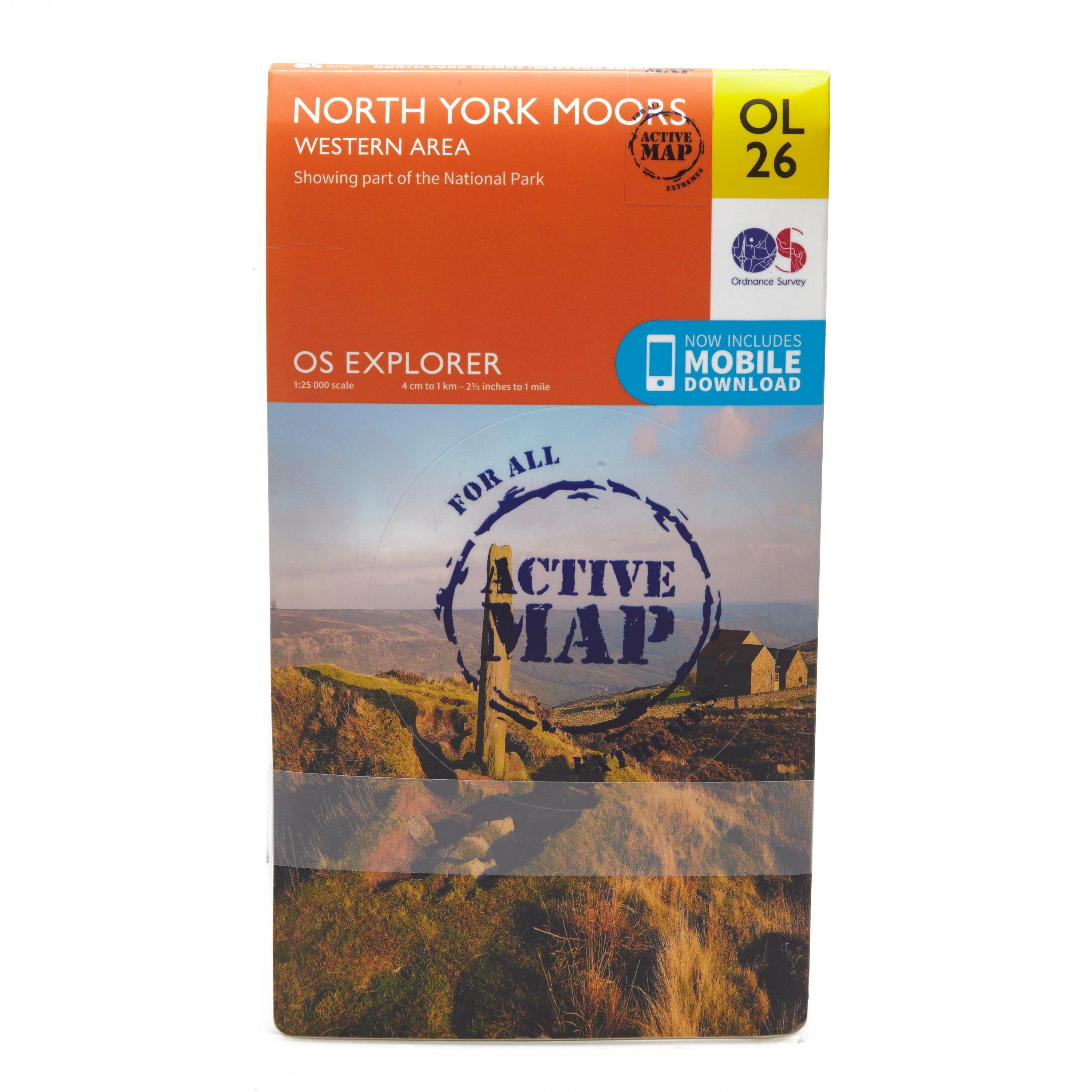
FeaturesCleveland WayEbor WayCleveland StreetTeesdale WayTees Link (Strategic Link to be shown at 50k)Marton West Beck TrailCleveland Way (National Trail)E2 (European Long Distance Route)MiddlesbroughNorth YorkshireNorth York Moors National ParkClevelandActive weatherproof map1:25 000 scale (4 cm to 1 km - 2.5 inches to 1 mile)This map comes with a digital version which you can download to your smartphone or tablet.
Best Price: £10.20 from Ultimate Outdoors
