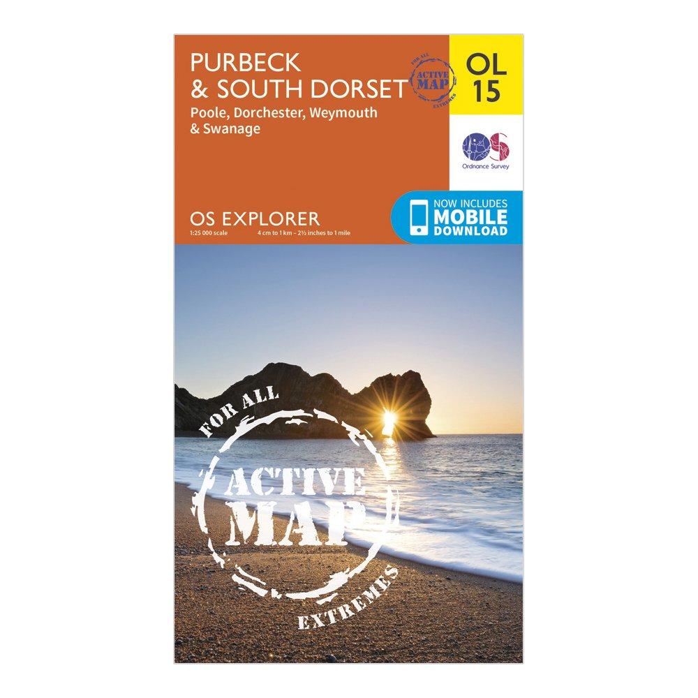
Detailed and easy to read map from Ordnance SurveyScale: 1:25,000Covers the Cotswold Hills, Wychwood Community Forest, the Cotswold Way, Poole, Dorchester, Weymouth and SwanageIncludes mobile download of map for use on your smartphoneShows tourist information points, popular sites, viewpoints, places of information and rights of way informationRecommended activity - navigation
Best Price: £10.20 from Ultimate Outdoors