PENNINE PVC Waste Hose - ¾ inch (SOLD BY THE METRE), Grey
Made from black PVC with a 3/4 inch internal diameter, this convoluted hose can be used to connect up your plumbing to your waste tank.Please note: the price shown is for a ONE METRE length. If you need more than one metre, then order the quantity that you would like in metres. For example, if you require...
PENNINE Waste Hose - 28.5mm (SOLD BY THE METRE), Grey
This waste hose from Pennine Leisure is ideal for all your caravanning needs.__ With a 23.5mm inside diameter, this convoluted hose is grey and can be bent to join up your waste water pipes. __Please note: the price shown is for a ONE METRE length. If you need more than one metre, then order the...
PENNINE Waste Hose - 28.5mm (SOLD BY THE METRE), Black
This Waste Hose from Pennine Leisure has a 28.5mm outer diameter and is convoluted so it can be bent to fit into your plumbing system. ___Please note: the price shown is for a ONE METRE length. If you need more than one metre, then order the quantity that you would like in metres. For example, if...
Providing complete GB coverage, the OS Explorer map series details information essential in the great outdoors, including youth hostels, pubs and visitor information. Rights of way, fences, permissive paths and bridleways are clearly shown, ensuring you have the best information to get the most out of...
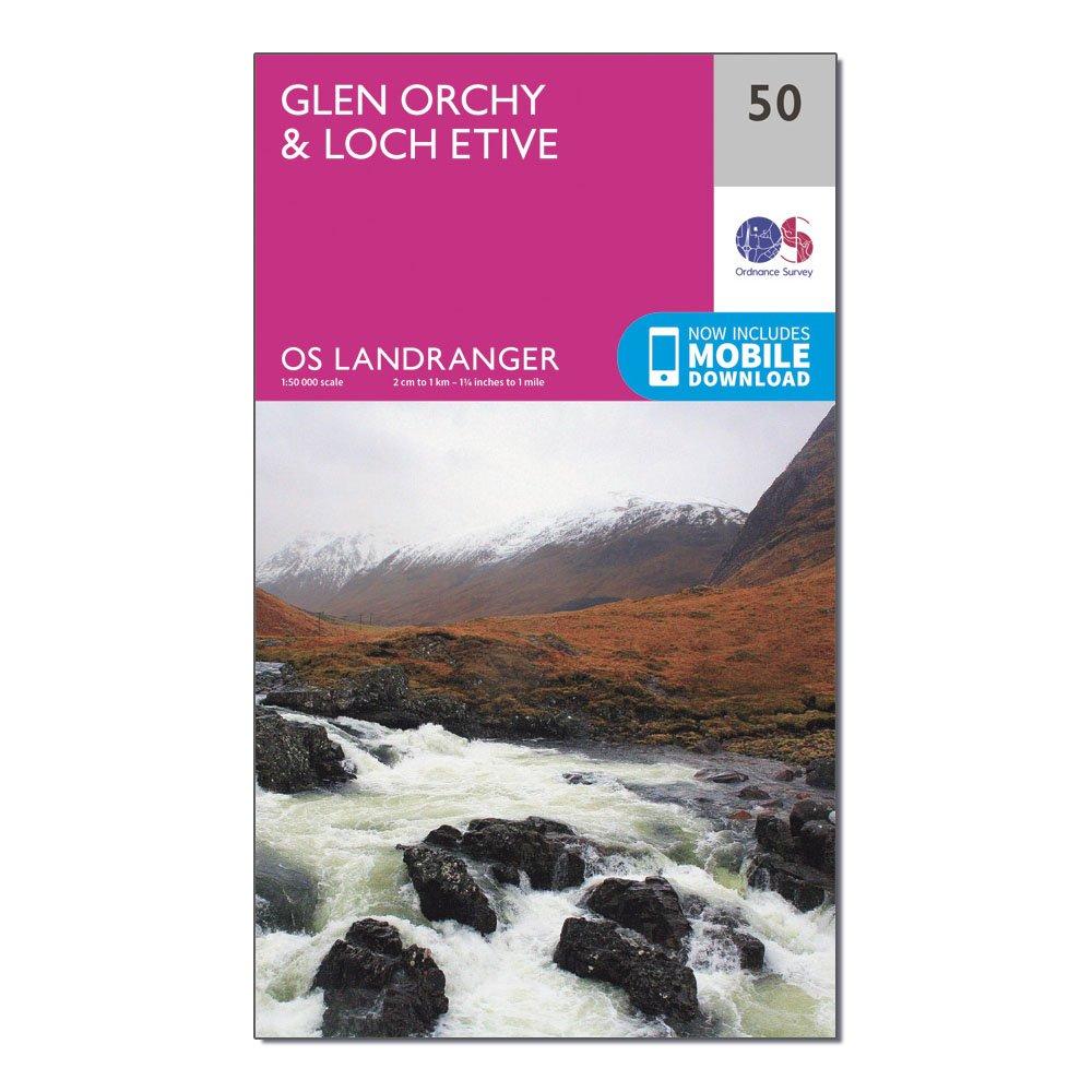
Ordnance Survey Landranger 50 Glen Orchy & Loch Etive Map With Digital Version - Pink, Pink
This map comes with a digital version which you can download to your smartphone or tablet.Go to OS.uk/redeem for more details (terms and conditions apply).Scratch off the panel on the inside cover of the map to reveal a code, you are then just three easy steps away from downloading your digital map.If...
Providing complete GB coverage, the OS Explorer map series details information essential in the great outdoors, including youth hostels, pubs and visitor information. Rights of way, fences, permissive paths and bridleways are clearly shown, ensuring you have the best information to get the most out of...
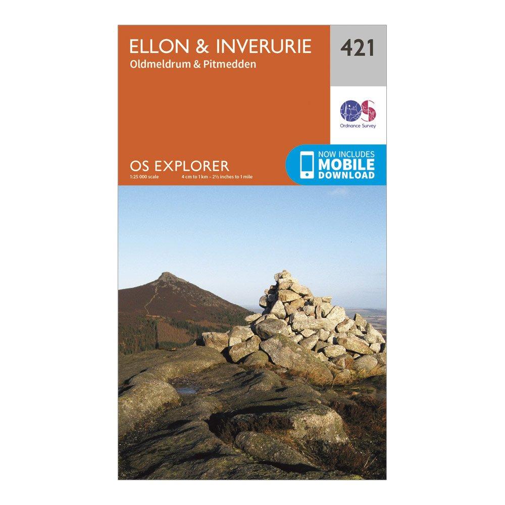
Ordnance Survey Explorer 421 Ellon & Inverurie Map With Digital Version - Orange, Orange
Providing complete GB coverage, the OS Explorer map series details information essential in the great outdoors, including youth hostels, pubs and visitor information. Rights of way, fences, permissive paths and bridleways are clearly shown, ensuring you have the best information to get the most out of...
Providing complete GB coverage, the OS Explorer map series details information essential in the great outdoors, including youth hostels, pubs and visitor information. Rights of way, fences, permissive paths and bridleways are clearly shown, ensuring you have the best information to get the most out of...
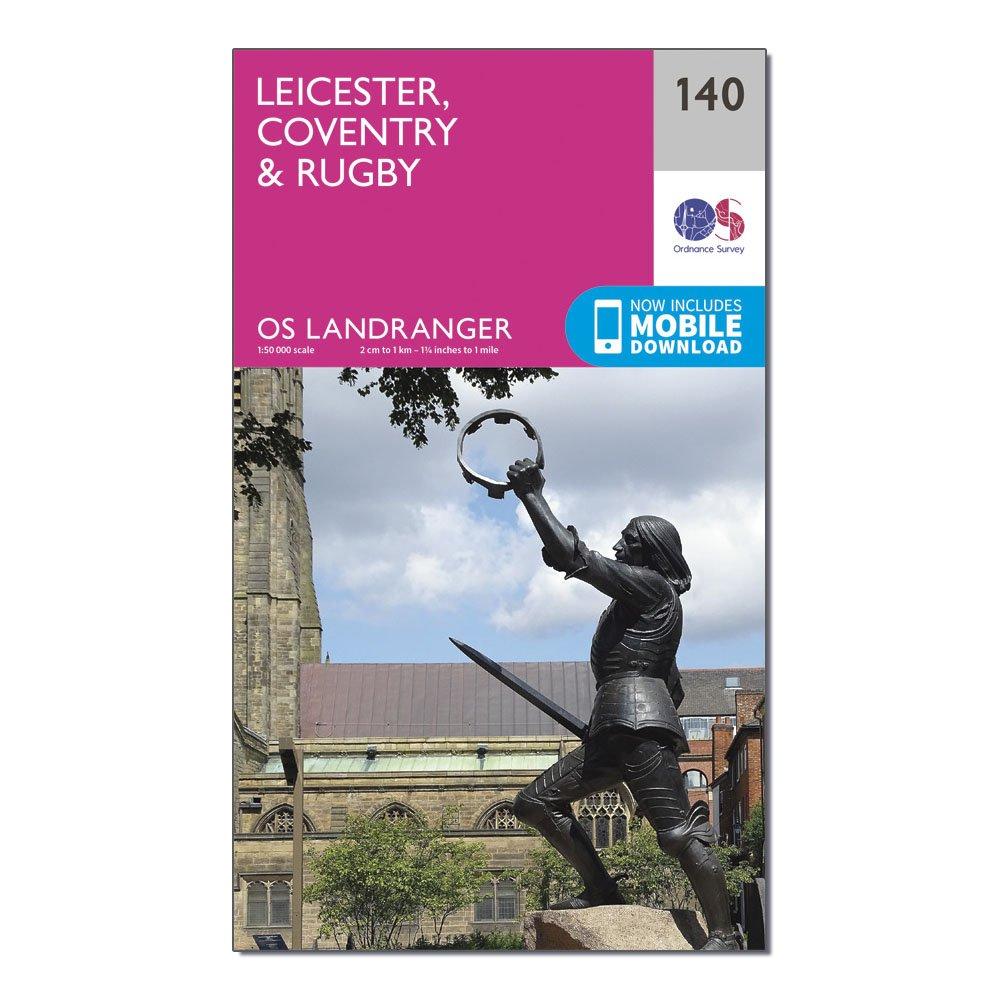
Ordnance Survey Landranger 140 Leicester, Coventry & Rugby Map With Digital Version, D
This map comes with a digital version which you can download to your smartphone or tablet.Go to OS.uk/redeem for more details (terms and conditions apply).Scratch off the panel on the inside cover of the map to reveal a code, you are then just three easy steps away from downloading your digital map.If...
Providing complete GB coverage, the OS Explorer map series details information essential in the great outdoors, including youth hostels, pubs and visitor information. Rights of way, fences, permissive paths and bridleways are clearly shown, ensuring you have the best information to get the most out of...
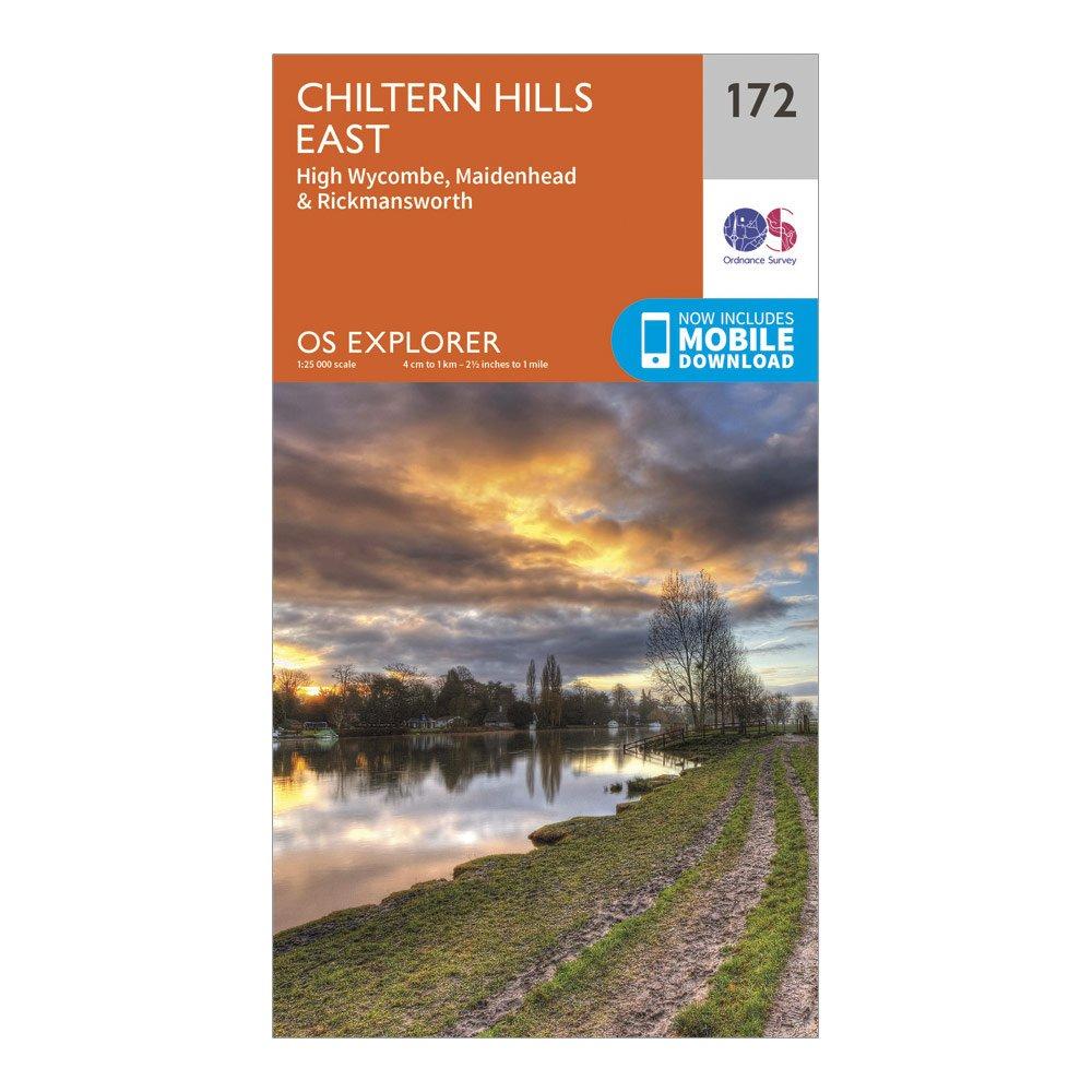
Ordnance Survey Explorer 172 Chiltern Hills East Map With Digital Version - Dark Red, Dark Red
Providing complete GB coverage, the OS Explorer map series details information essential in the great outdoors, including youth hostels, pubs and visitor information. Rights of way, fences, permissive paths and bridleways are clearly shown, ensuring you have the best information to get the most out of...
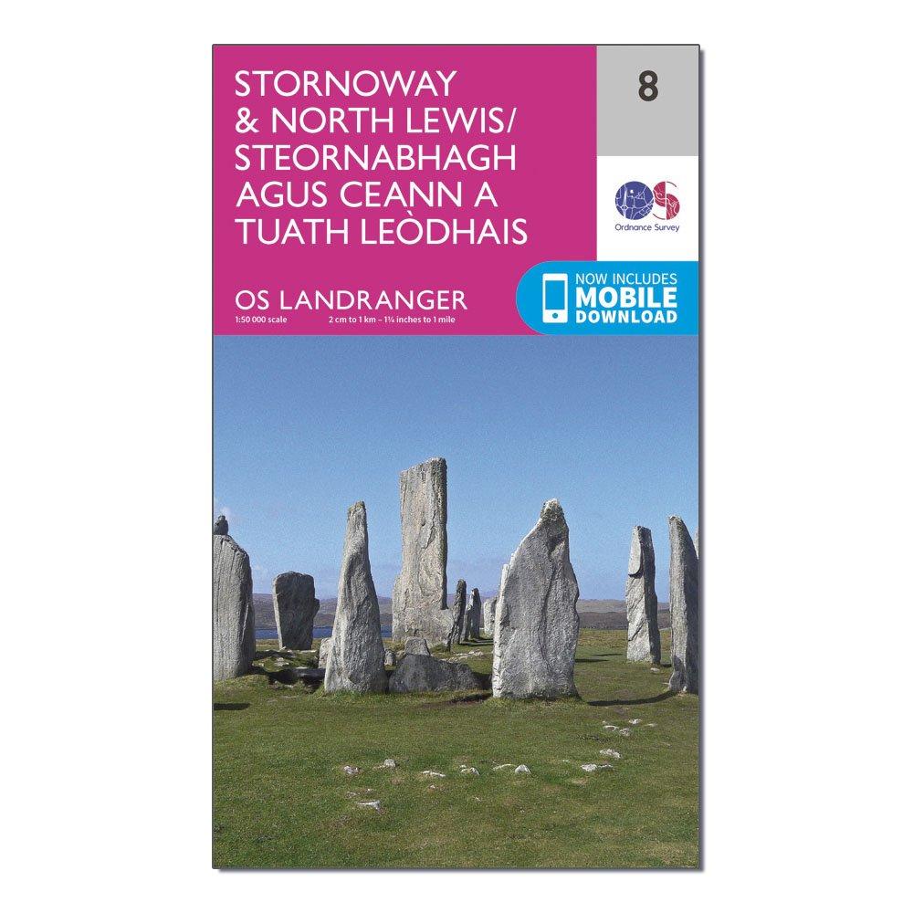
Ordnance Survey Landranger 8 Stornaway & North Lewis Map With Digital Version, D
This map comes with a digital version which you can download to your smartphone or tablet.Go to OS.uk/redeem for more details (terms and conditions apply).Scratch off the panel on the inside cover of the map to reveal a code, you are then just three easy steps away from downloading your digital map.If...
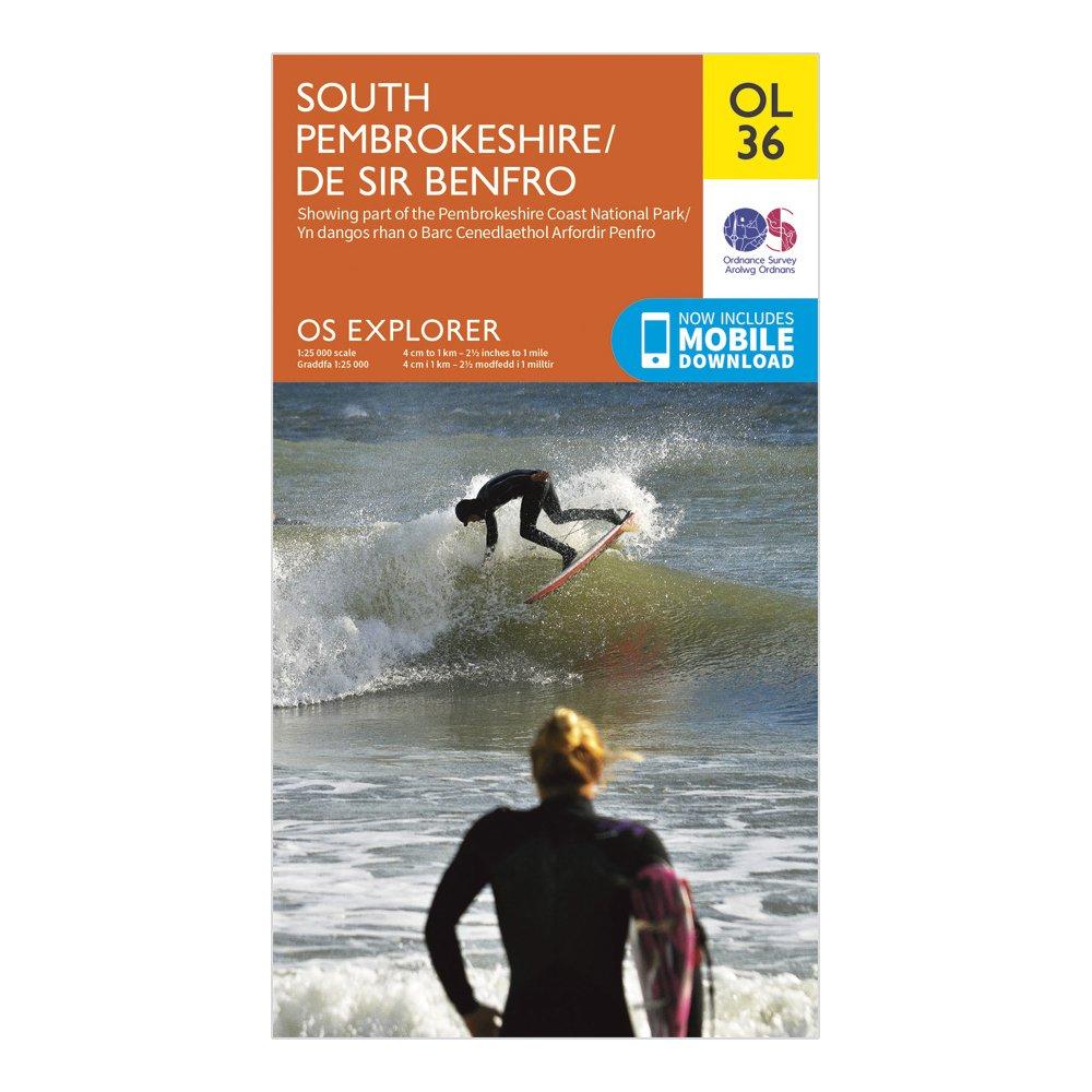
Ordnance Survey Explorer Ol 36 South Pembrokeshire Map - Orange, Orange
Detailed and informative explorer map of South Pembrokeshire from Ordnance SurveyCovers The Pembrokeshire Coast National Path, Knights' Way, Tenby, Milford Haven, Pembroke and HaverfordwestScale: 1:25000Now includes Mobile DownloadRecommended activity - walking / hiking / cycling / navigation / expedition
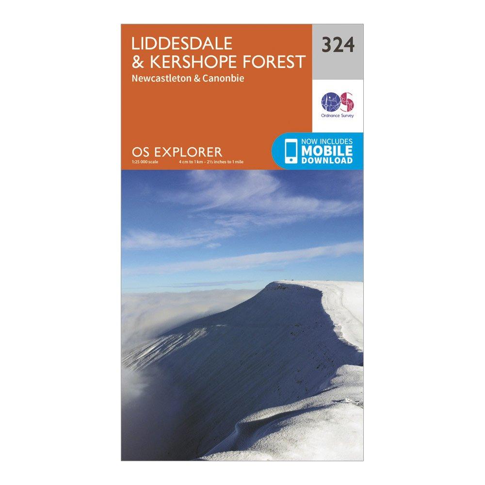
Ordnance Survey Explorer 324 Liddesdale & Kershope Forest Map With Digital Version - Orange, Orange
Providing complete GB coverage, the OS Explorer map series details information essential in the great outdoors, including youth hostels, pubs and visitor information. Rights of way, fences, permissive paths and bridleways are clearly shown, ensuring you have the best information to get the most out of...
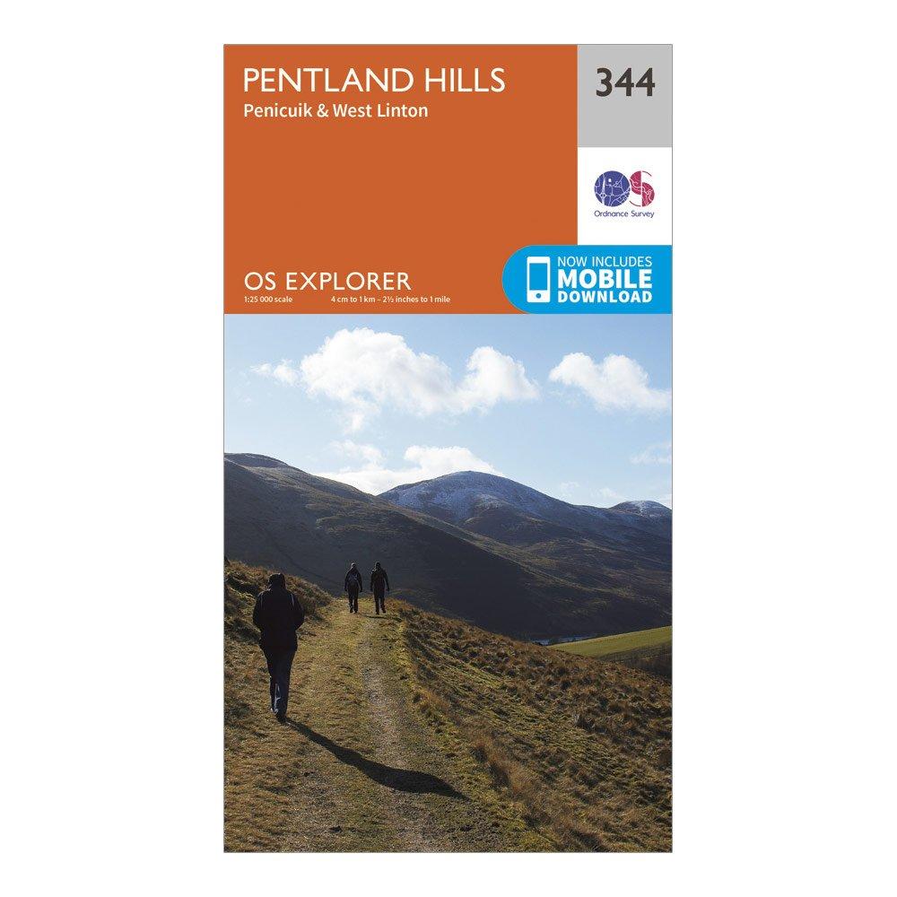
Ordnance Survey Explorer 344 Pentland Hills Map With Digital Version, D
Providing complete GB coverage, the OS Explorer map series details information essential in the great outdoors, including youth hostels, pubs and visitor information. Rights of way, fences, permissive paths and bridleways are clearly shown, ensuring you have the best information to get the most out of...


