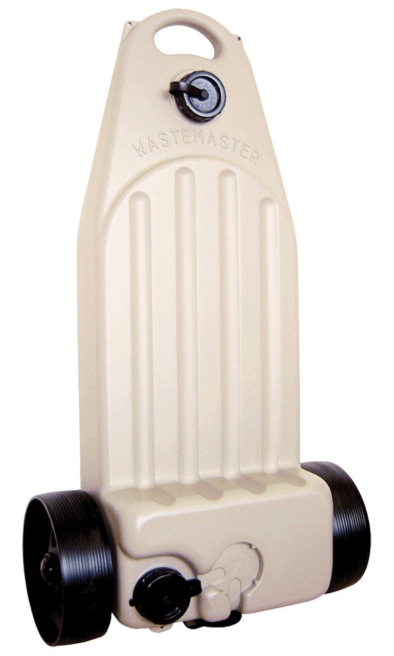
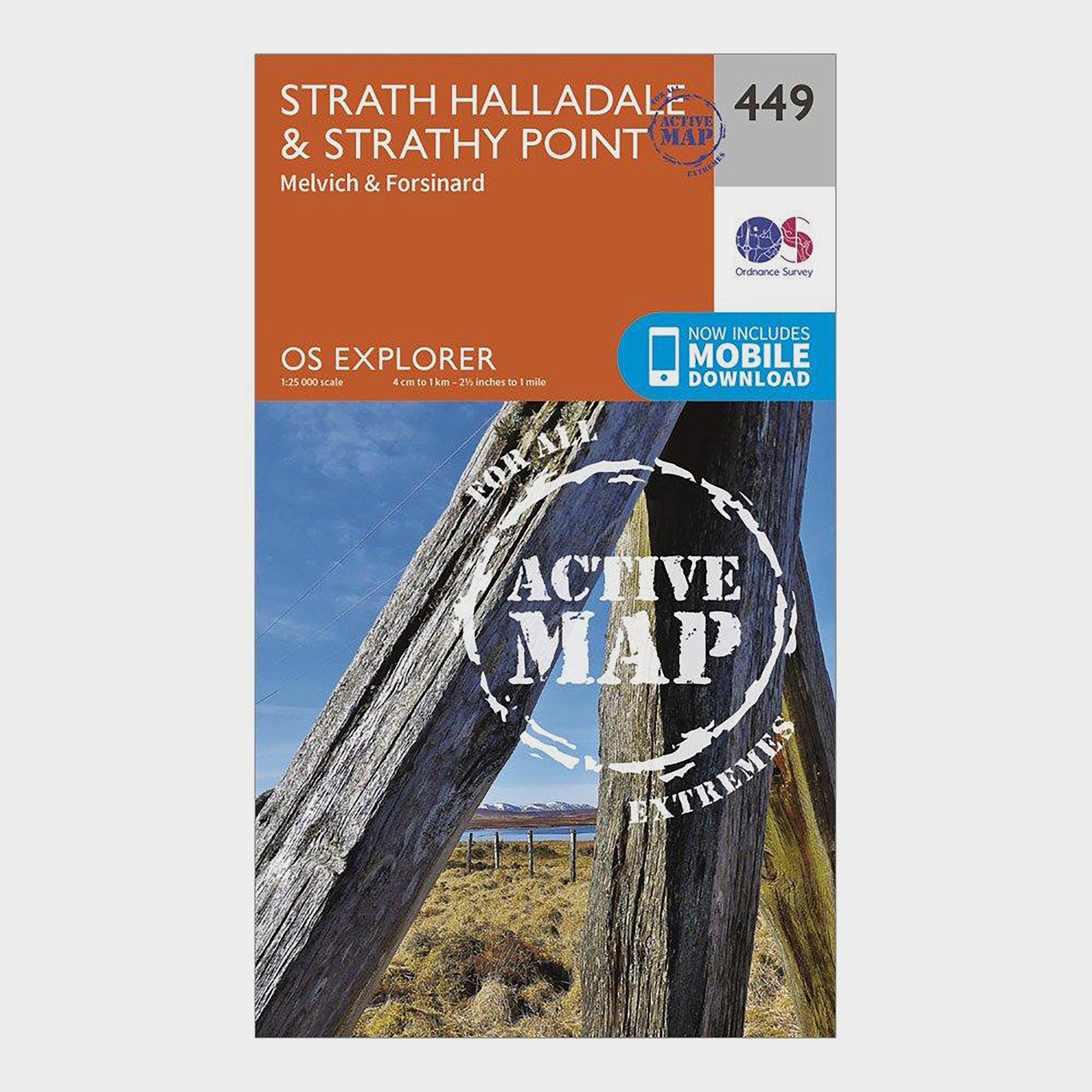
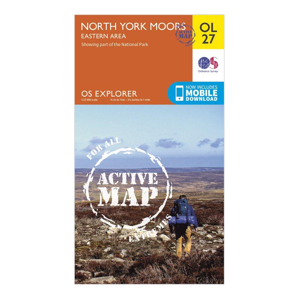
Hitchman Wastemaster Waste Water Carrier, White
The Hitchman Wastemaster is designed to allow easy transportation of non-toilet waste from your caravan.__ It will fit easily under your caravan. The ledge is designed for a caravan toilet, which can then be fastened to the Wastemaster using luggage elastics (supplied with the product).
Fiamma Waste Roll Tank (23L), Grey
Compact size (fits through normal vehicle doors)
Hitchman Wastemaster Caravan Water Disposal Bag, Navy
FeaturesWater resistantHeavy duty PVC coated nylon
Maypole Wastemaster Storage Bag
Will hold Wastemaster/Wastehog containers Pull cord fastening 1000mm x 255mm diameter
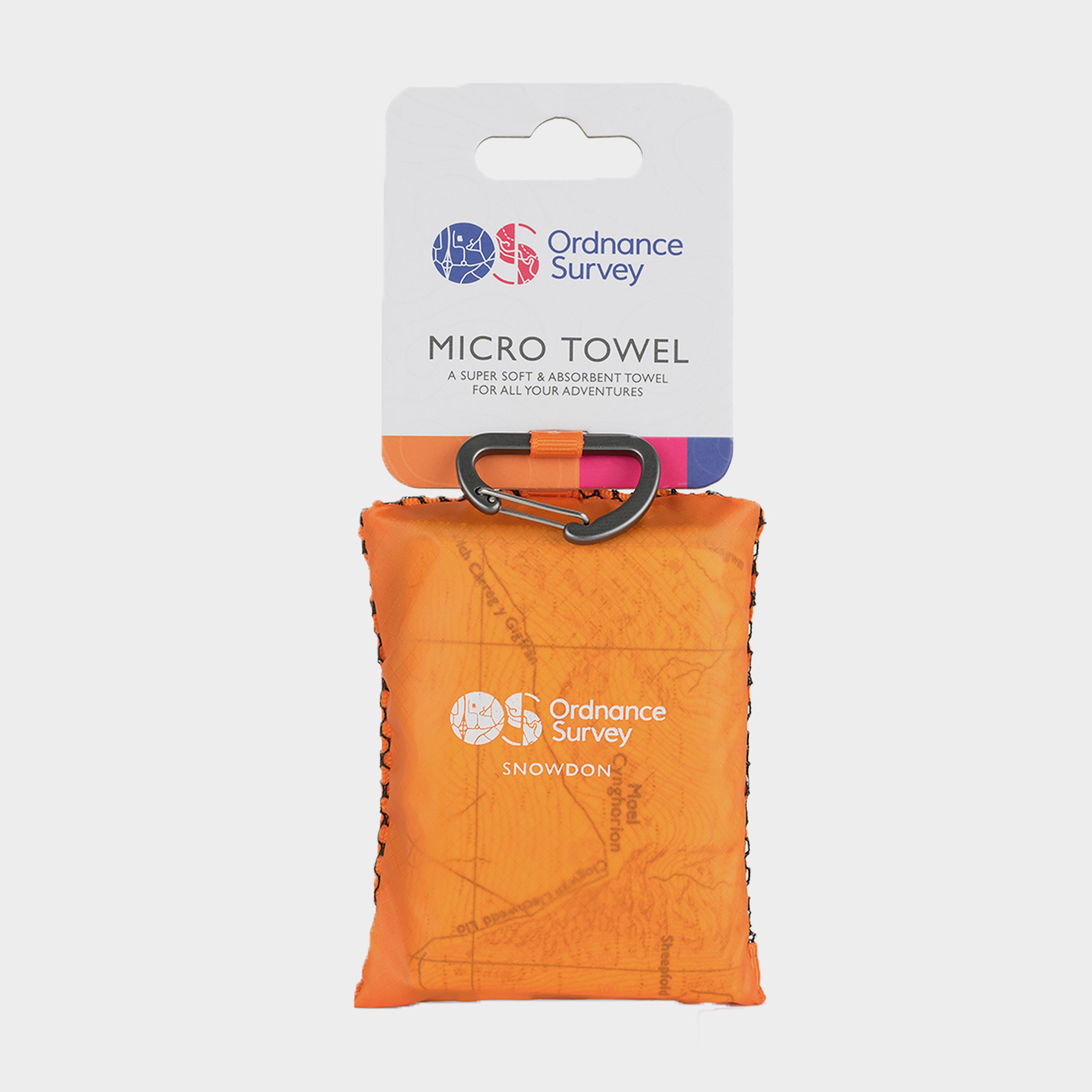
Ordnance Survey Snowdonia Micro Towel - Orange, ORANGE
Soft fibre fabricLightweight, ultra-compact, and highly absorbentTreated with Polygene permanent odour controlDries 8x faster than a standard beach towelAbsorbs 9 x its own weight in waterComes in a tough ripstop carry bagSnowdonia Map DesignSize: 37cm x 37cmWash separately at 40 degrees; do not iron,...
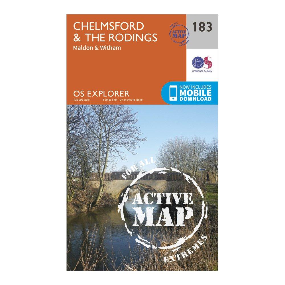
Ordnance Survey Explorer Active 183 Chelmsford & The Rodings Map With Digital Version - N/A, N/A
Providing complete GB coverage, the OS Explorer map series details information essential in the great outdoors, including youth hostels, pubs and visitor information. Rights of way, fences, permissive paths and bridleways are clearly shown, ensuring you have the best information to get the most out of...
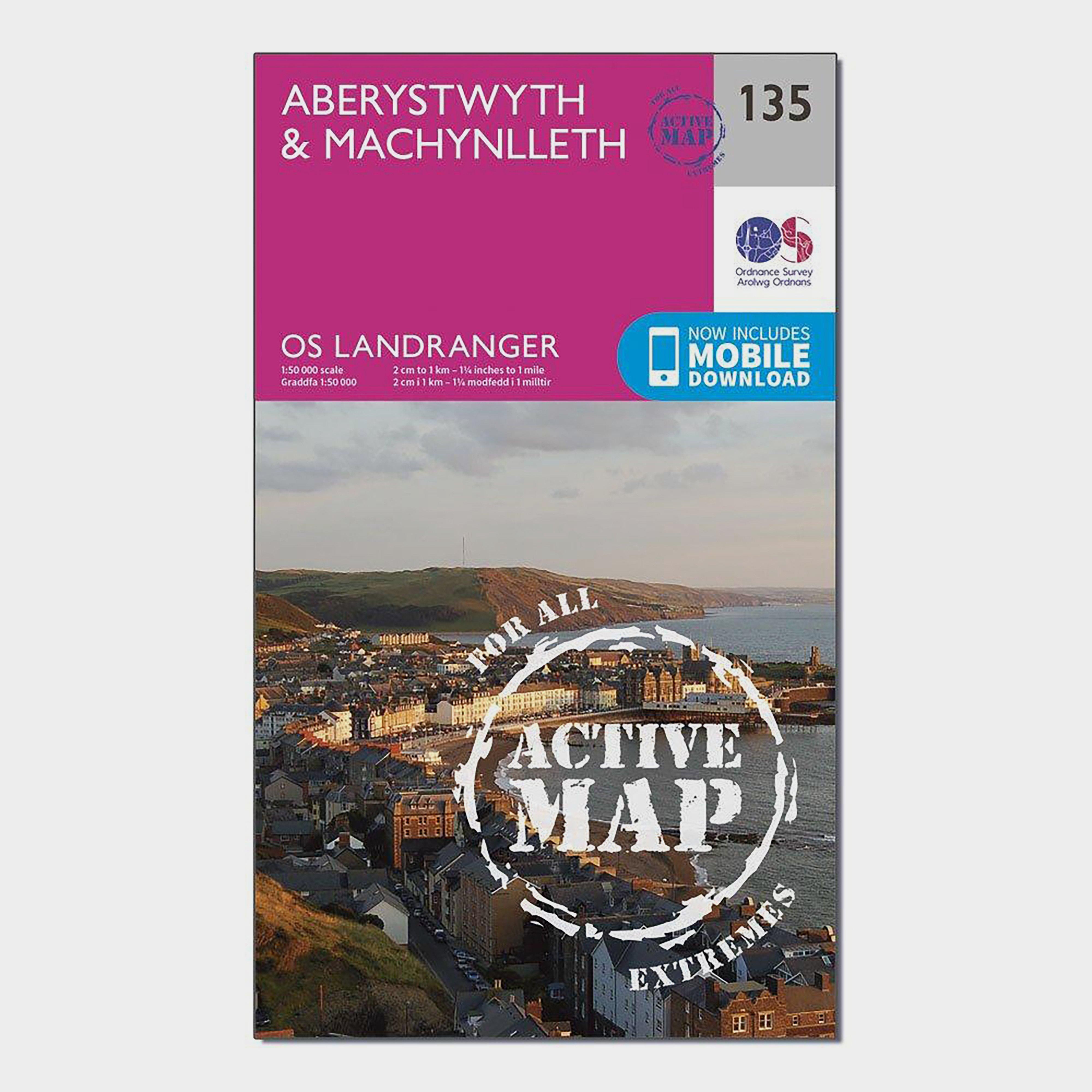
The OS Landranger Map Active is tough, durable and weatherproof. The maps are covered in a lightweight protective plastic coating that can be written on, so your favourite routes can be easily highlighted._This map comes with a digital version which you can download to your smartphone or tablet._Go...
Providing complete GB coverage, the OS Explorer map series details information essential in the great outdoors, including youth hostels, pubs and visitor information. Rights of way, fences, permissive paths and bridleways are clearly shown, ensuring you have the best information to get the most out of...
Providing complete GB coverage, the OS Explorer map series details information essential in the great outdoors, including youth hostels, pubs and visitor information. Rights of way, fences, permissive paths and bridleways are clearly shown, ensuring you have the best information to get the most out of...
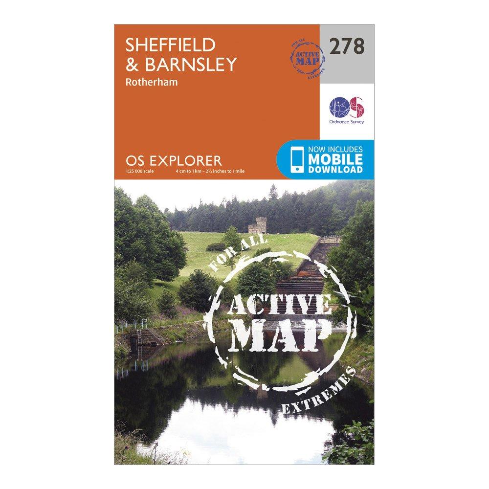
Ordnance Survey Explorer Active 278 Sheffield & Barnsley Map With Digital Version - Orange, Orange
The essential map for outdoor activities in all weathers in Sheffield and Barnsley. The OS Explorer Active Map is the Ordnance Survey's most detailed folding map and is recommended for anyone enjoying outdoor activities including walking, horse riding and off-road cycling. This map now comes with a digital...
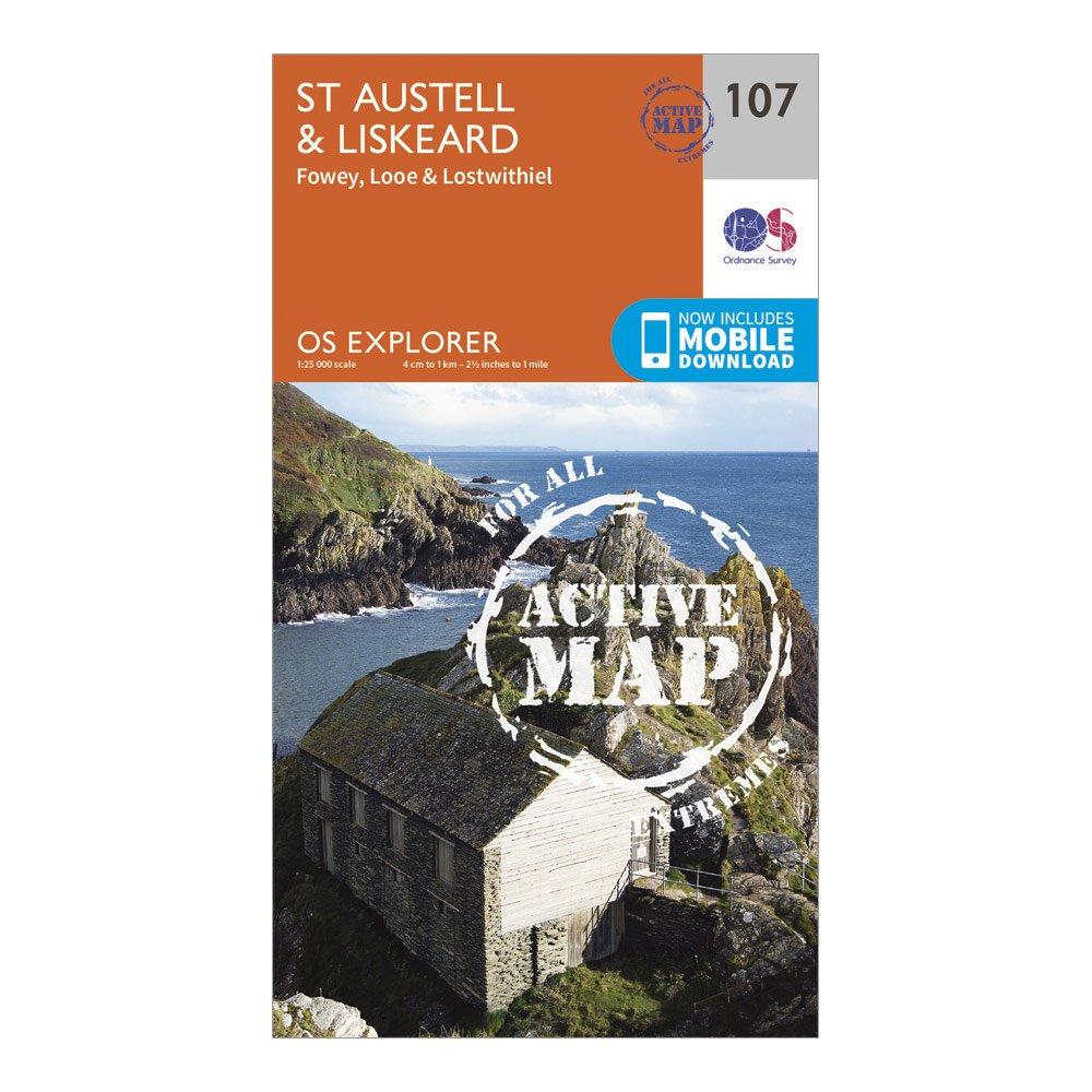
Ordnance Survey Explorer Active 107 St Austell & Liskeard Map With Digital Version - Orange, Orange
Providing complete GB coverage, the OS Explorer map series details information essential in the great outdoors, including youth hostels, pubs and visitor information. Rights of way, fences, permissive paths and bridleways are clearly shown, ensuring you have the best information to get the most out of...
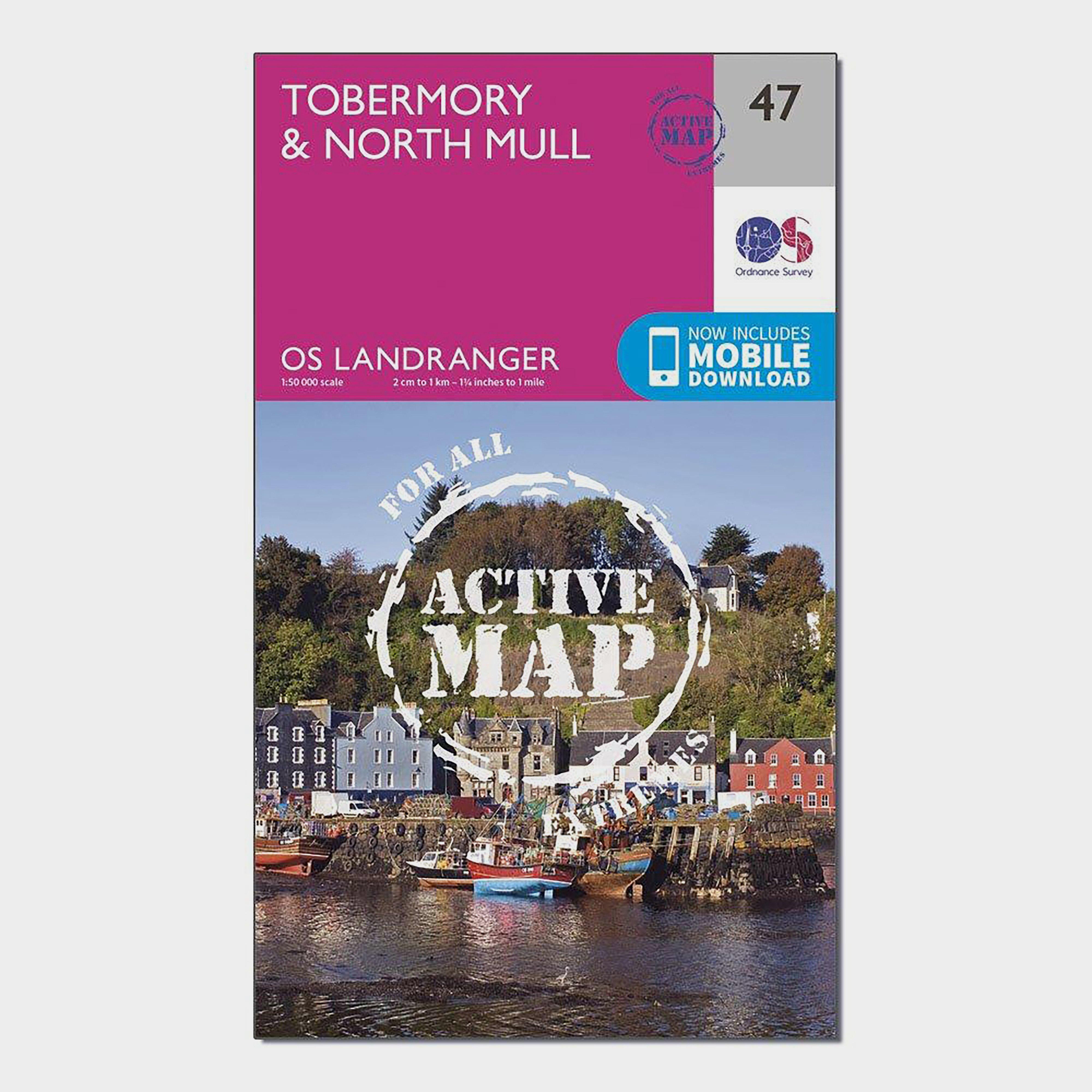
Ordnance Survey Landranger Active 47 Tobermory & North Mull Map With Digital Version - Pink, Pink
The OS Landranger Map Active is tough, durable and weatherproof. The maps are covered in a lightweight protective plastic coating that can be written on, so your favourite routes can be easily highlighted._This map comes with a digital version which you can download to your smartphone or tablet._Go...
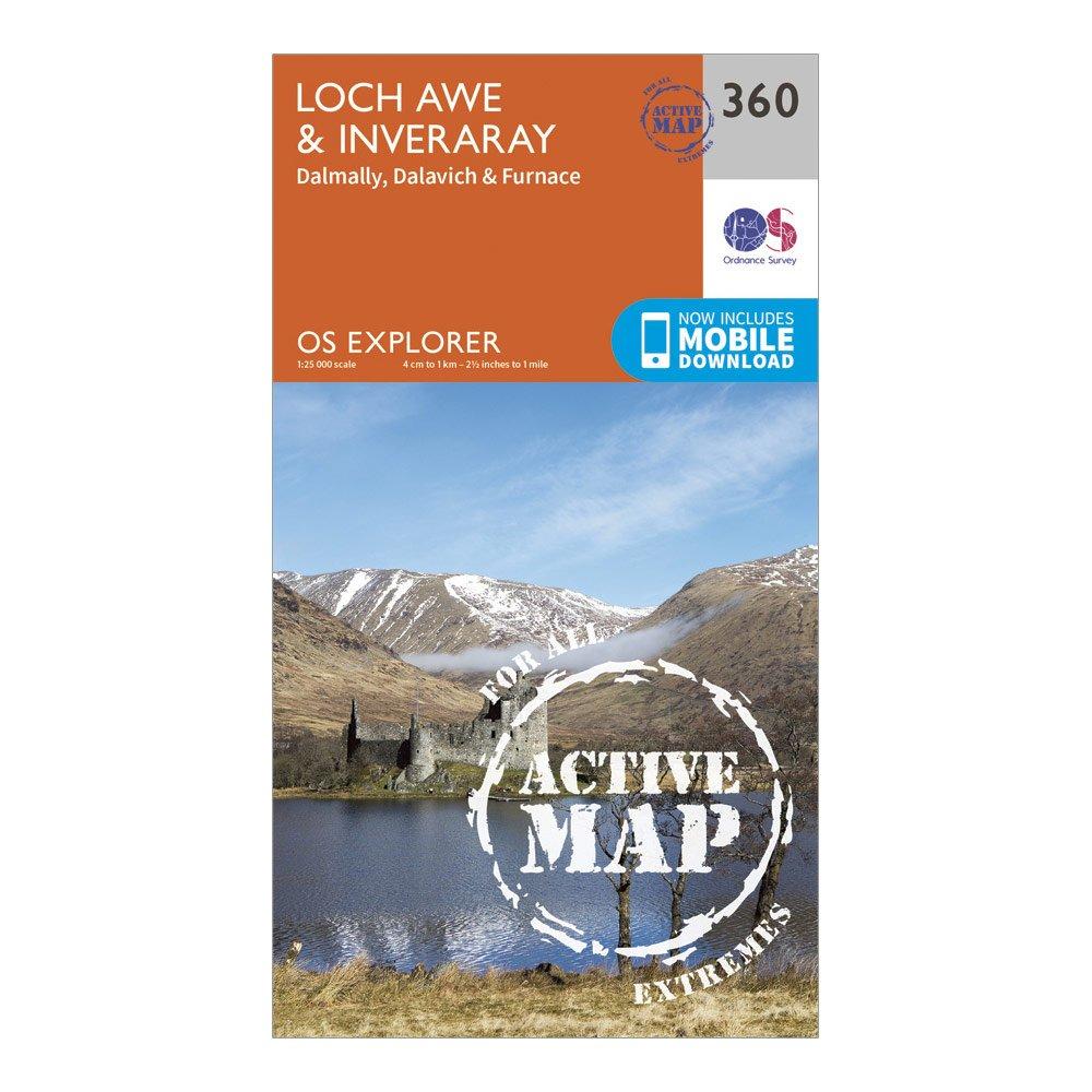
Ordnance Survey Explorer Active 360 Loch Awe & Inveraray Map With Digital Version - Orange, Orange
Providing complete GB coverage, the OS Explorer map series details information essential in the great outdoors, including youth hostels, pubs and visitor information. Rights of way, fences, permissive paths and bridleways are clearly shown, ensuring you have the best information to get the most out of...
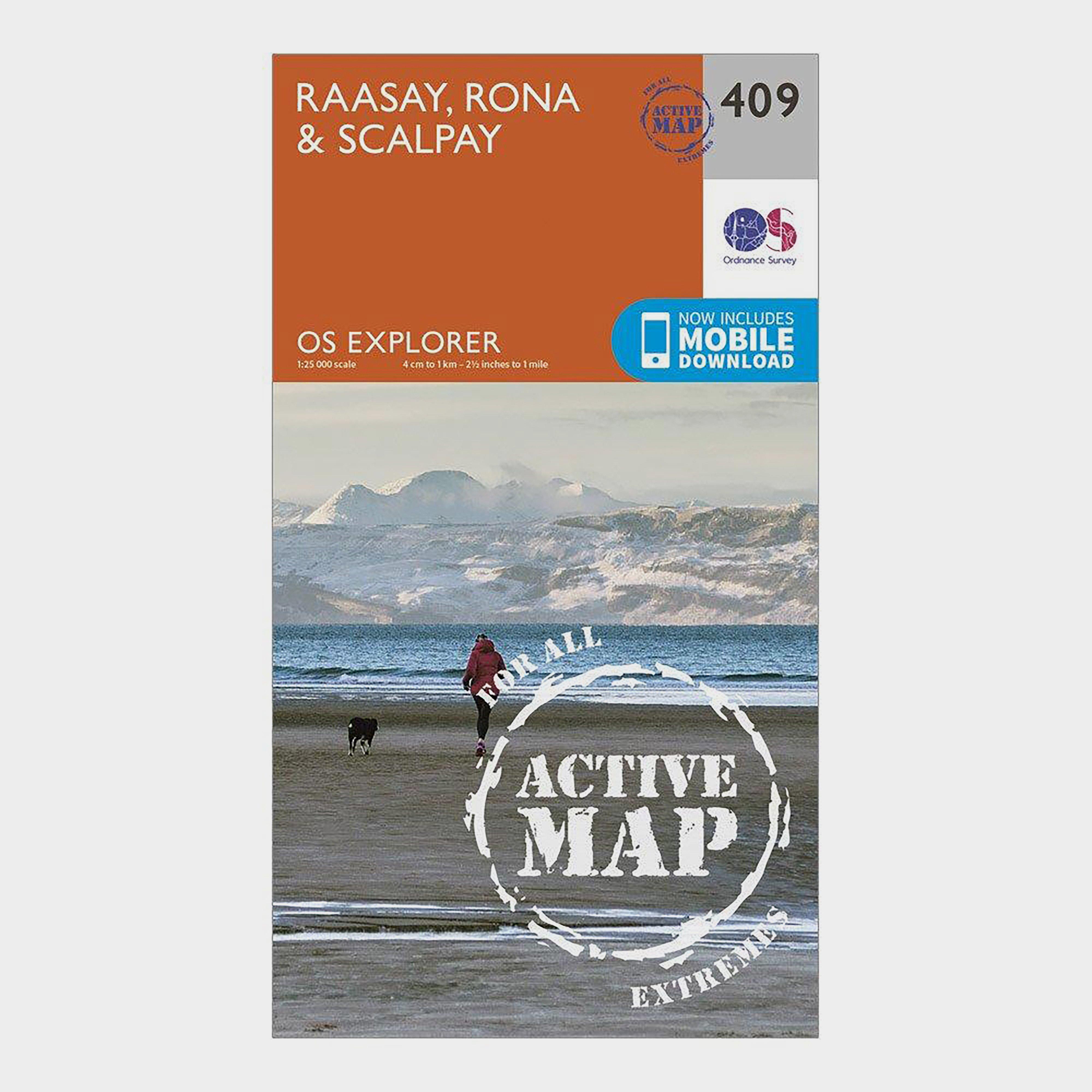
Ordnance Survey Explorer Active 409 Rasaay, Rona & Scalpay Map With Digital Version - Orange, Orange
Providing complete GB coverage, the OS Explorer map series details information essential in the great outdoors, including youth hostels, pubs and visitor information. Rights of way, fences, permissive paths and bridleways are clearly shown, ensuring you have the best information to get the most out of...
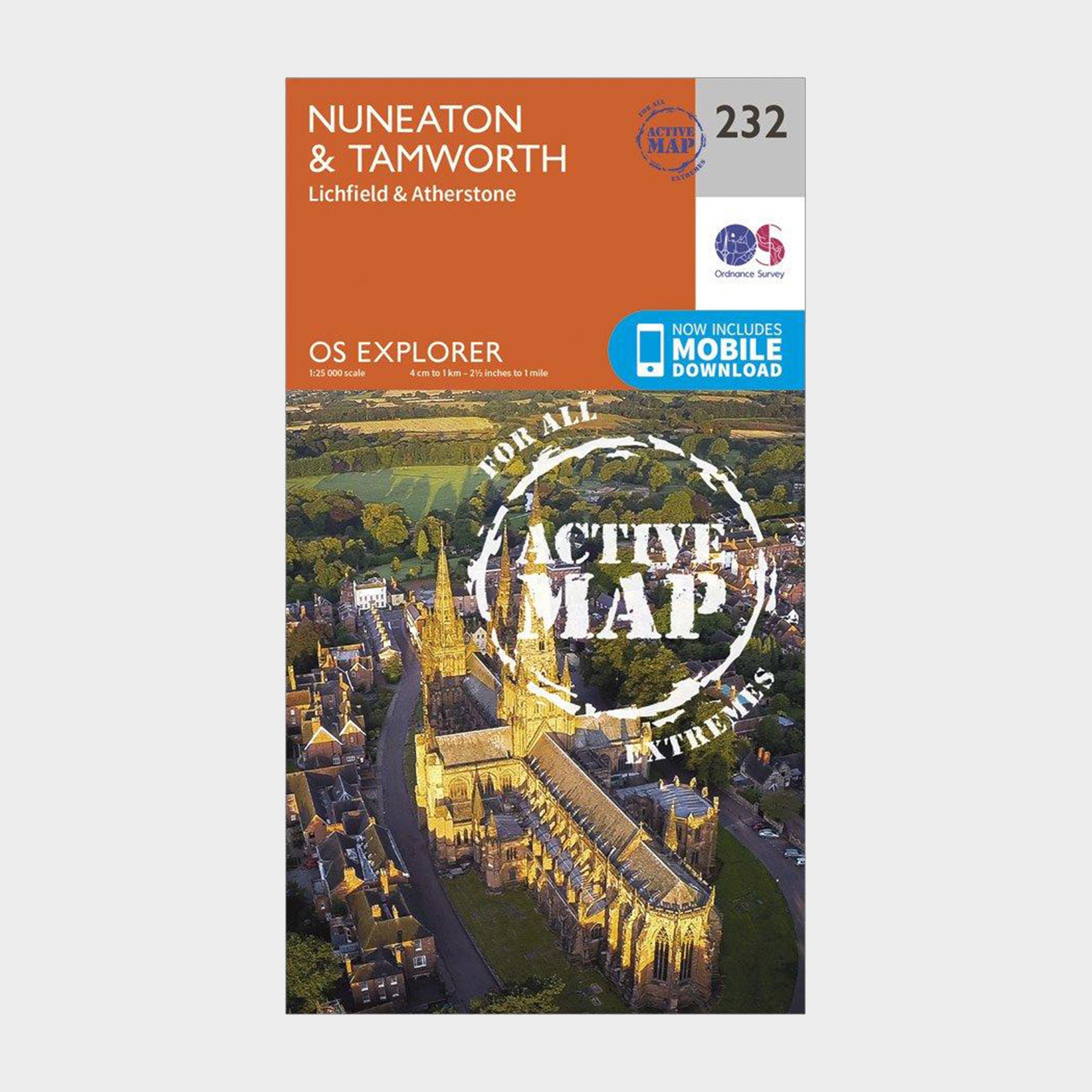
Ordnance Survey Explorer Active 232 Nuneaton & Tamworth Map With Digital Version - Orange, Orange
Providing complete GB coverage, the OS Explorer map series details information essential in the great outdoors, including youth hostels, pubs and visitor information. Rights of way, fences, permissive paths and bridleways are clearly shown, ensuring you have the best information to get the most out of...

