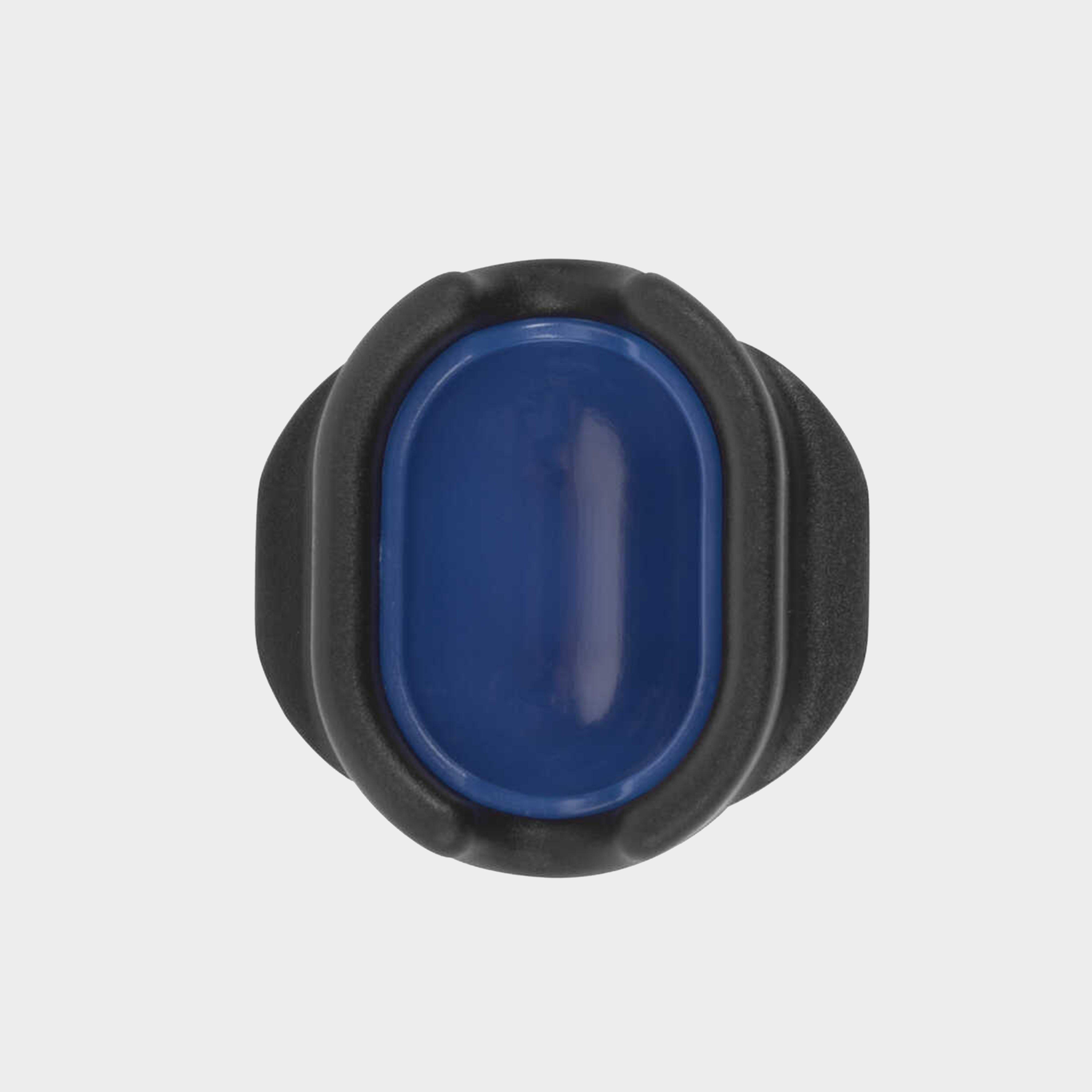
Preston Innovation Quick Release Method Mould - Mini - Blue, Blue
Able to quickly form a perfect feeder full of groundbait or pellets every time, the Quick Release Method Mould ensures a more accurate casting due to the constant size of the loaded feeder. The release button located at the bottom of the mould ensures that the feeder is ejected consistently. This mould...
Dinsmores Gripper Bombs Non-Toxic Leads 5/8Oz, 3 Pack - Multi, Multi
Use these Dinsmores Lead Grippa Bombs when you want to fish a low weight but need extra purchase on the bottom. Coming in a handy camouflage colour, this 3 pack is guaranteed to make your days by the water super successful.Great for carpIdeal for fast riversNontoxicCamouflage colour3 packSize: 18g /...
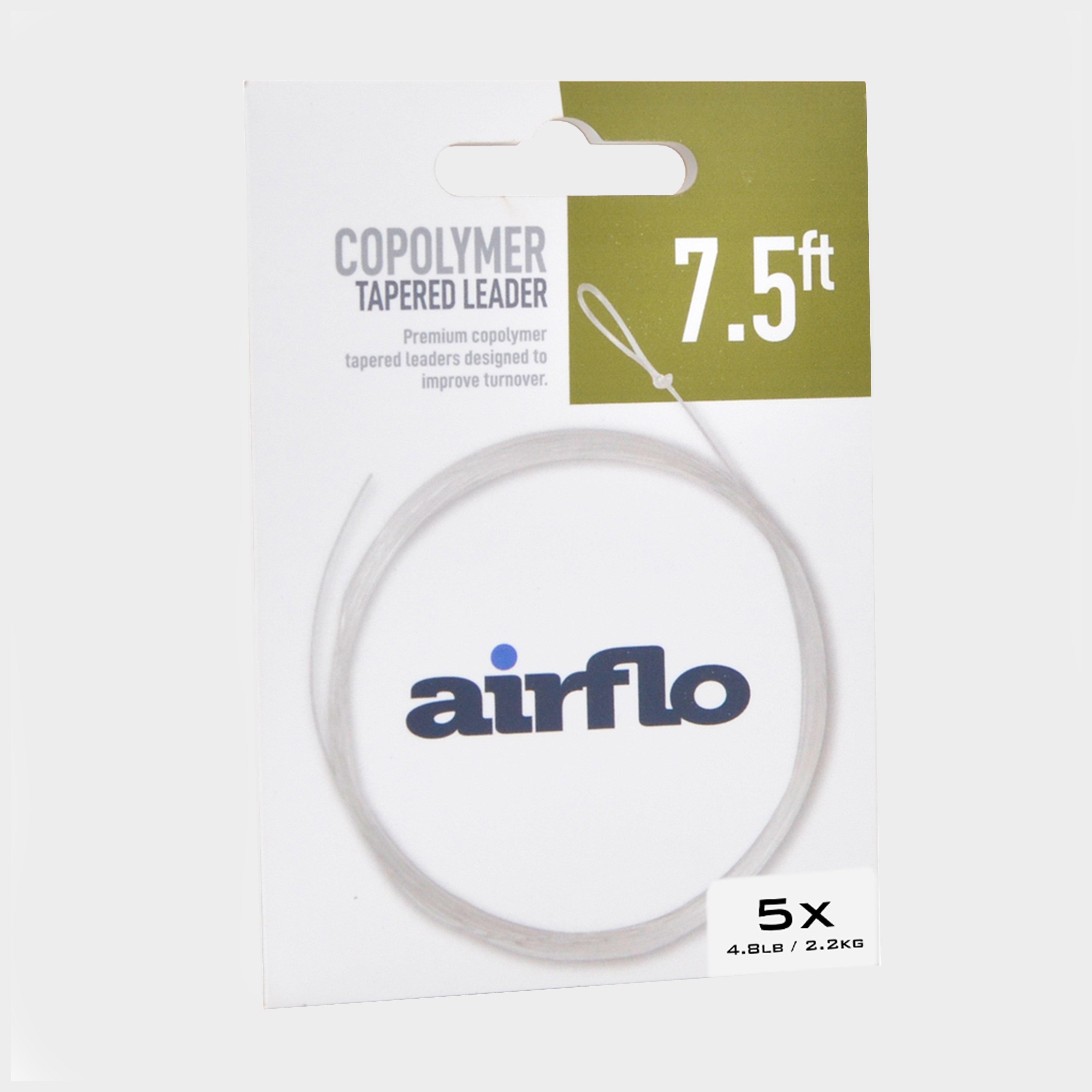
Airflo Tactical Tapered Leader 7.5Ft 4.8Lb - No Colour, No colour
Perfect for tight river and stream angling, the leader's distinctive taper ensures precise fly turnover on every cast.· Ready to use· Looped butt for easier attachment· Tapered design· Clear colour· 1 leader per pack· Rating: 5X· Breaking...
Fox International Fox Edges Shrink Tube Small Khaki, SMA
Grab yourself some of these handy Fox Edges Shrink Tubes (Small) and keep them in your tackle bag for a wide range of terminal tackle applications.Simply place the tubes into boiling water and watch them shrink down to a third of their original size. They become extremely secure and are made in a natural...
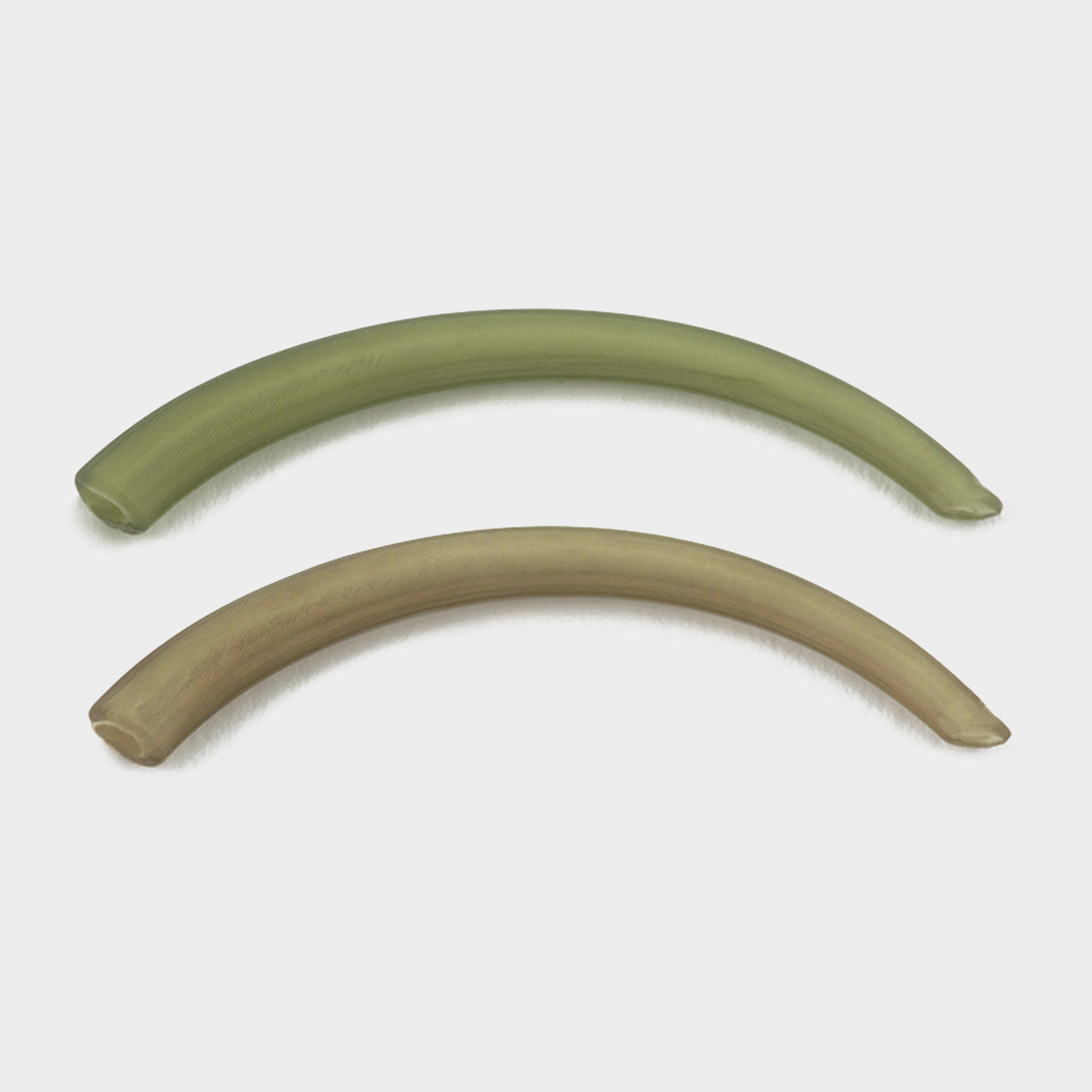
Thinking Angler Curved Kicker Brown, BROWN
These specially curved soft-rubber kickers slide onto your hook, extending the shank and delivering a safe bent-hook effect. Supplied in packs of 10 so you have ample amount, these hookers are available in green and brown.· Specially curved soft-rubber kickers extend hook shank· Creates...
NAKED CHOD BEADS_ These Outline Chod Beads are perfect for use on naked setups when using a Chod rig or helicopter directly on your main line, or a fluorocarbon leader._ Simply slide the Grip Stop onto your line using then pop the bead over the stop.
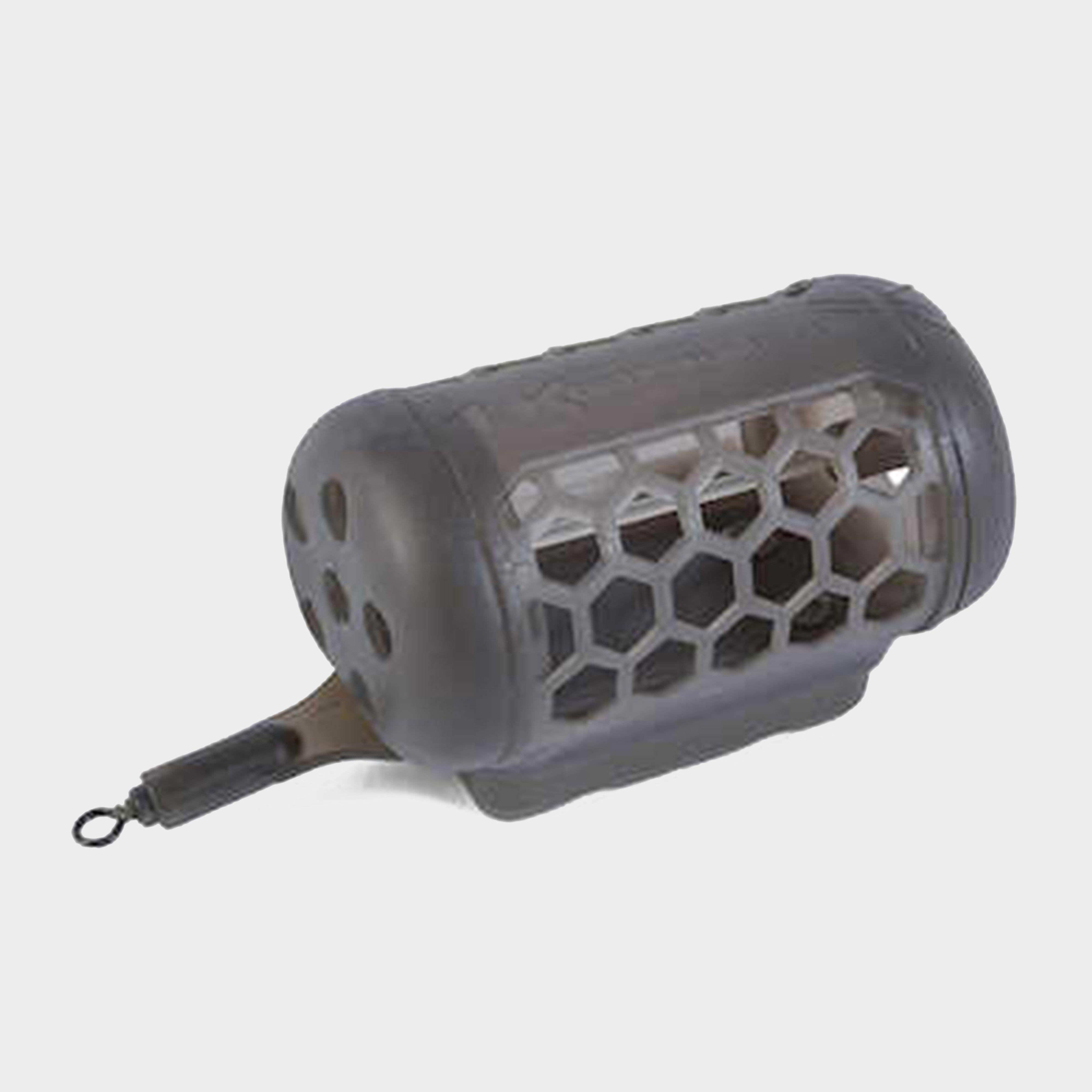
Korum River Cage Feeder Xl 150G, X
Sporting a metal mesh frame, the Korum River Cade Feeder is strong and reliable. The hydrodynamic design ensures that the feeder can be used in flowing water, especially with the way it grips the riverbed! With a closed rear design, larger particle baits can be used in deeper water which offers a slow...
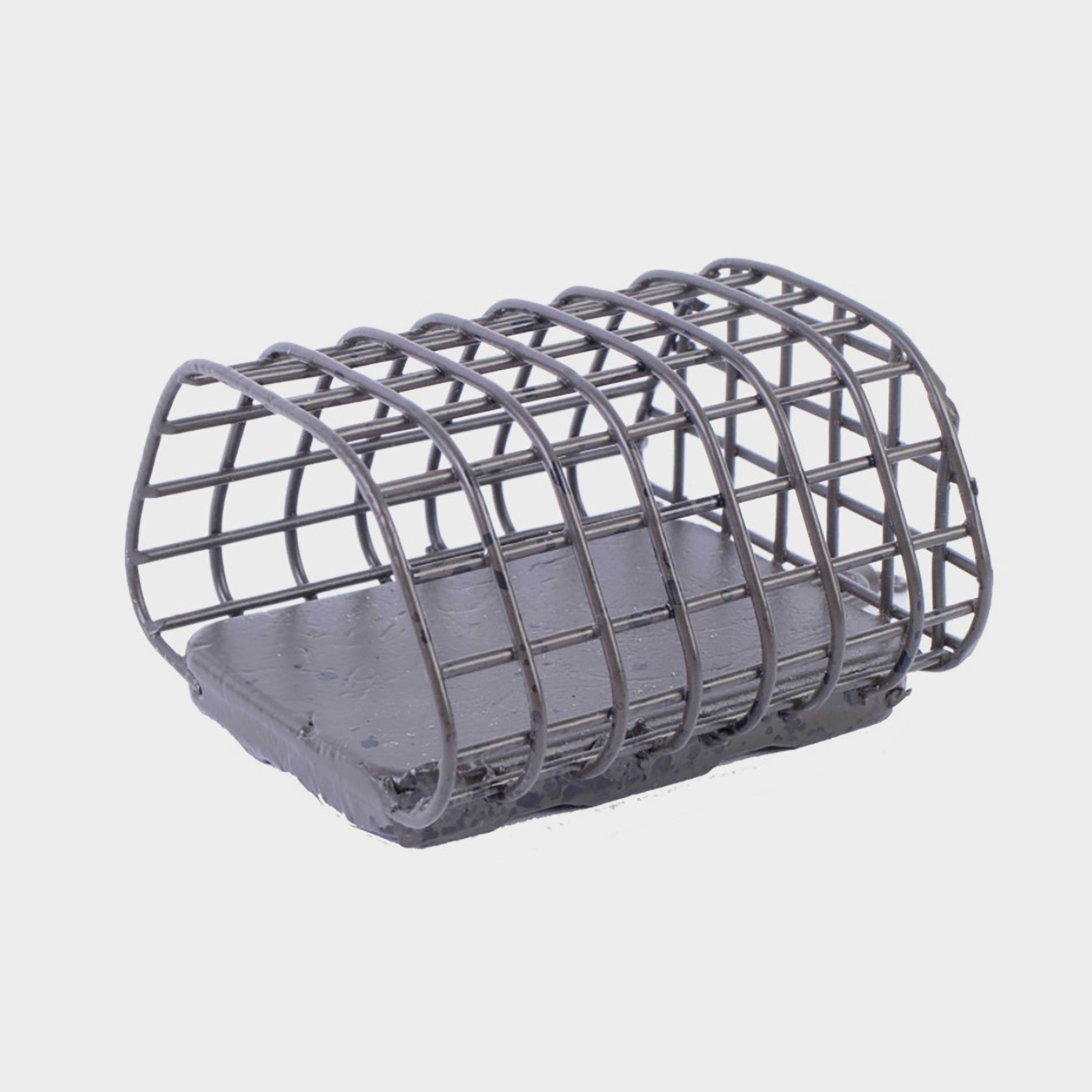
Korum Large Mesh Feeder, LARGE
Fish for large specimens with ease using the Korum Large Mesh Feeder. Built with a solid mesh construction designed for use with damp ground and particle baits, the feeder had a flat base which allowed it to land the right way and release bait more efficiently._Mesh constructionFlat base aids bait release...
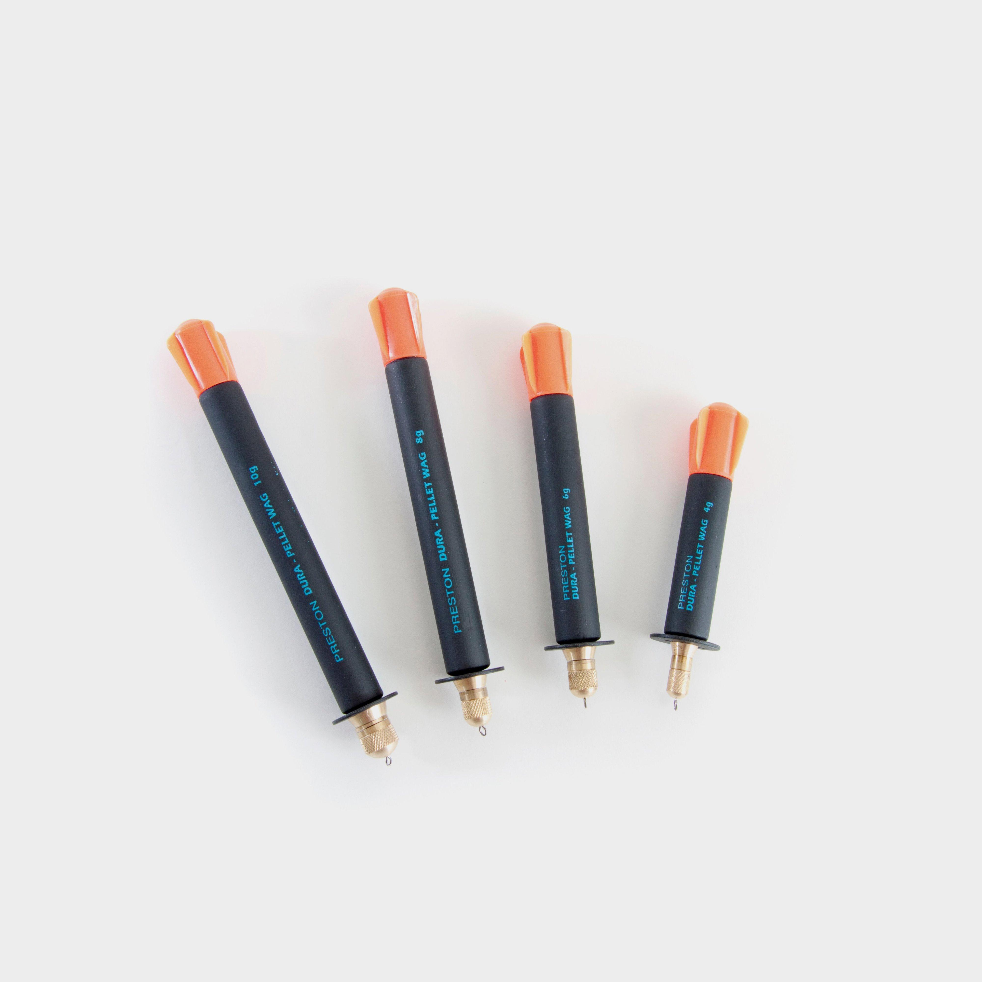
Preston Innovation Dura Pellet Wag Strd 6G, STRD
The thickest out of Preston's straight wagglers, these Dura pellet wagglers (13mm) include a range of accessories so they can be used any time of day and be fully customised to suit your needs.These extremely buoyant floats weigh just 6 grams and are topped with a vivid orange top for maximum visibility...
Fox International Edges Anti Tangle Sleeve Xl, SLE
Designed to prevent tangles and to cover Kwik Change Swivels these extra long sleeves are ideal for long zig rigs.
Preston Innovation Diamond Eye Threader, THREADER
Specifically developed to provide a neat link between your elastic and your rig. The Dacron holds your rig away from your pole tips whilst the purpose designed bead makes sure the Dacron points forwards to keep tangles to an absolute minimum
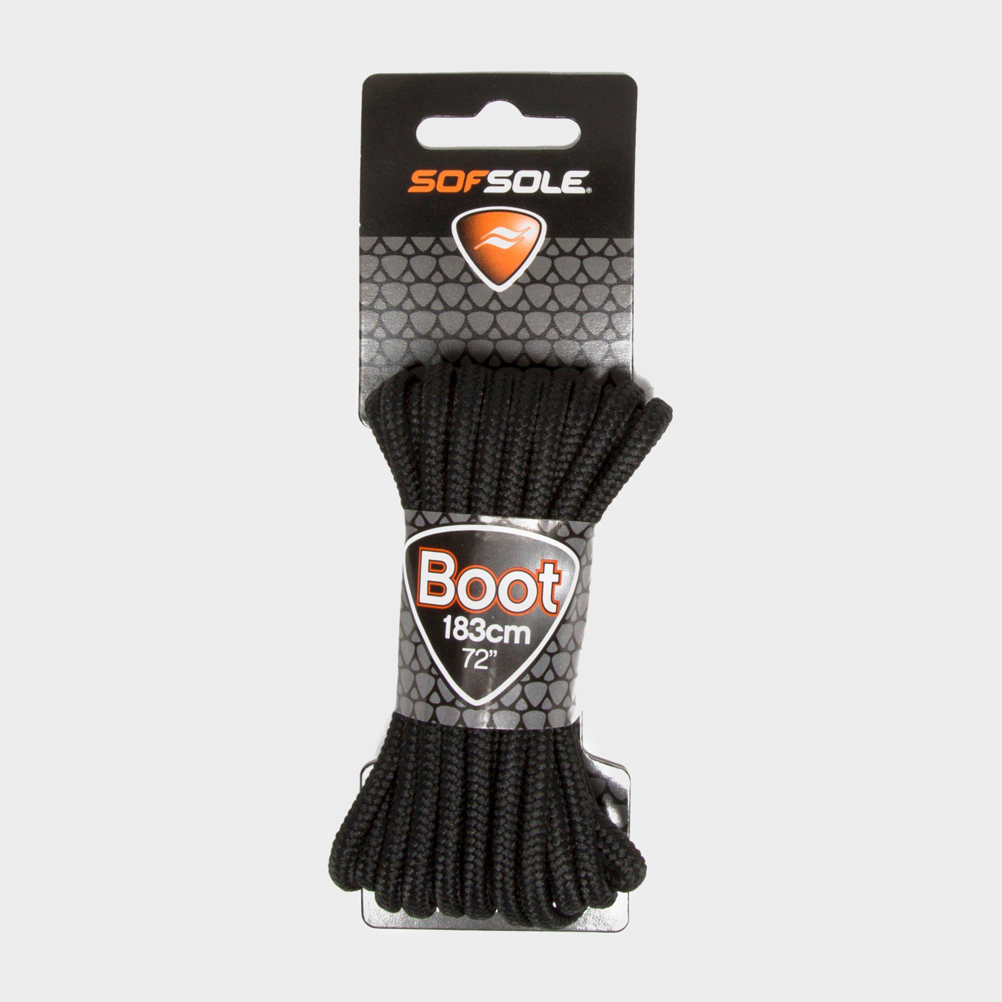
Sof Sole Wax Boot Laces - 183Cm - Black, Black
FeaturesRugged wax laces for hiking bootsLength: 183cm
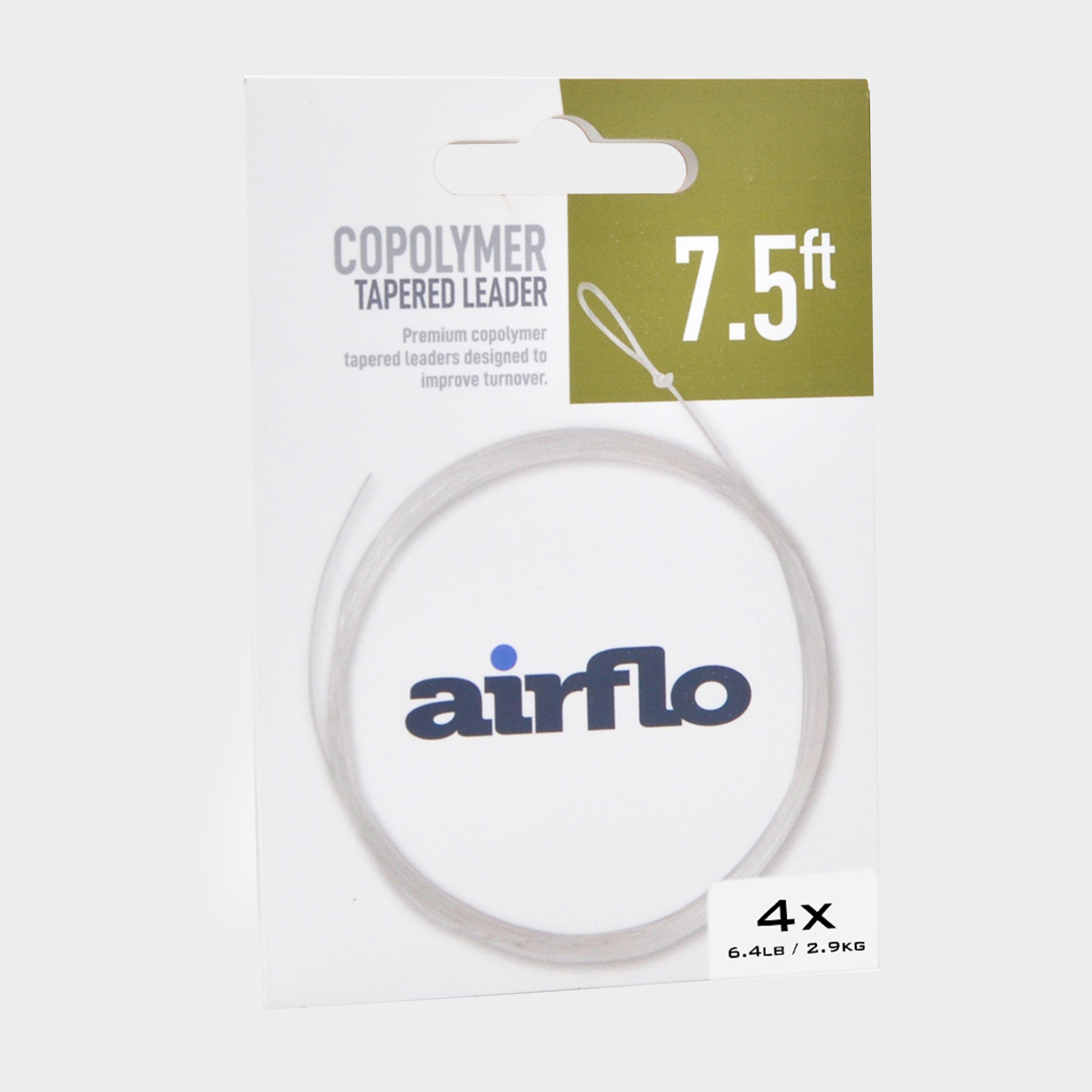
Airflo Tactical Tapered Leader 7.5Ft 6.4Lb - No Colour, No Colour
Perfect for tight river and stream angling, the leader's distinctive taper ensures precise fly turnover on every cast.· Ready to use· Looped butt for easier attachment· Tapered design· Clear colour· 1 leader per pack· Rating: 4X· Breaking...
Fox Rage Predator Camo Treble Hook Sleeves - No Colour, No Colour
These Treble Hook Sleeves safeguard the wire on your custom traces and neatly cover the top treble on twin hook setups._· Eco-friendly cardboard packaging· Available in Medium· Pack of 10· Product code: FAC090

