Yankee Candle City Blooms Small Jar, City Blooms
Experience the luxurious fragrance of City Blooms with notes of gardenia, white lily, and orange blossom. Part of the Home Inspiration collection, this candle is designed to fill your space with a long-lasting fragrance that neutralises odours and keeps even large spaces fresh. Perfect as a gift or to...
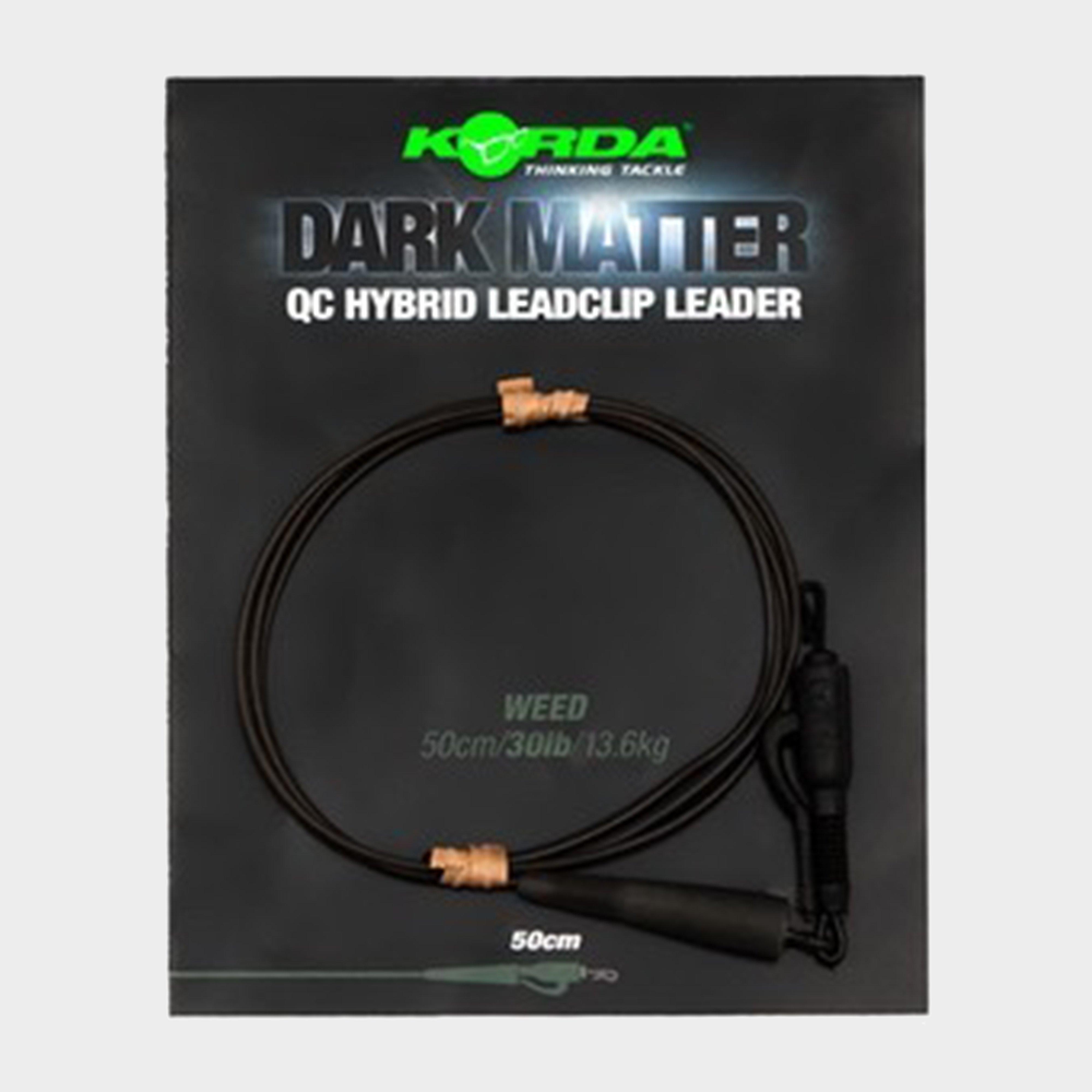
Korda Dark Matter Leader Qc Hybrid Clip 30Lb 50Cm Weed - Black, Black
Effortlessly swap hook links with embedded tungsten sections ensuring secure lakebed positioning. Avoid startling wary carp as these leaders guarantee a subtle presence. Tailored for long-range fishing or fishery rule adherence, its Hybrid Lead Clip QC seamlessly attaches, complemented by a Hybrid Tail...
Berghaus Unisex Recycled Chute - Red, Red
The Unisex Recycled Chute from Berghaus has multiple ways of wear, including a neck warmer, balaclava, and scarf, making it the perfect accessory for your hiking outfit. Whether you need a balaclava for a springtime walk or a scarf for heading into town, this chute will have you covered.Plus, it's made...
Berghaus Kids' Stripe Beanie Hat - Navy, Navy
Ribbed fabricBerghaus braded logoFabric: Polyester / Acrylic
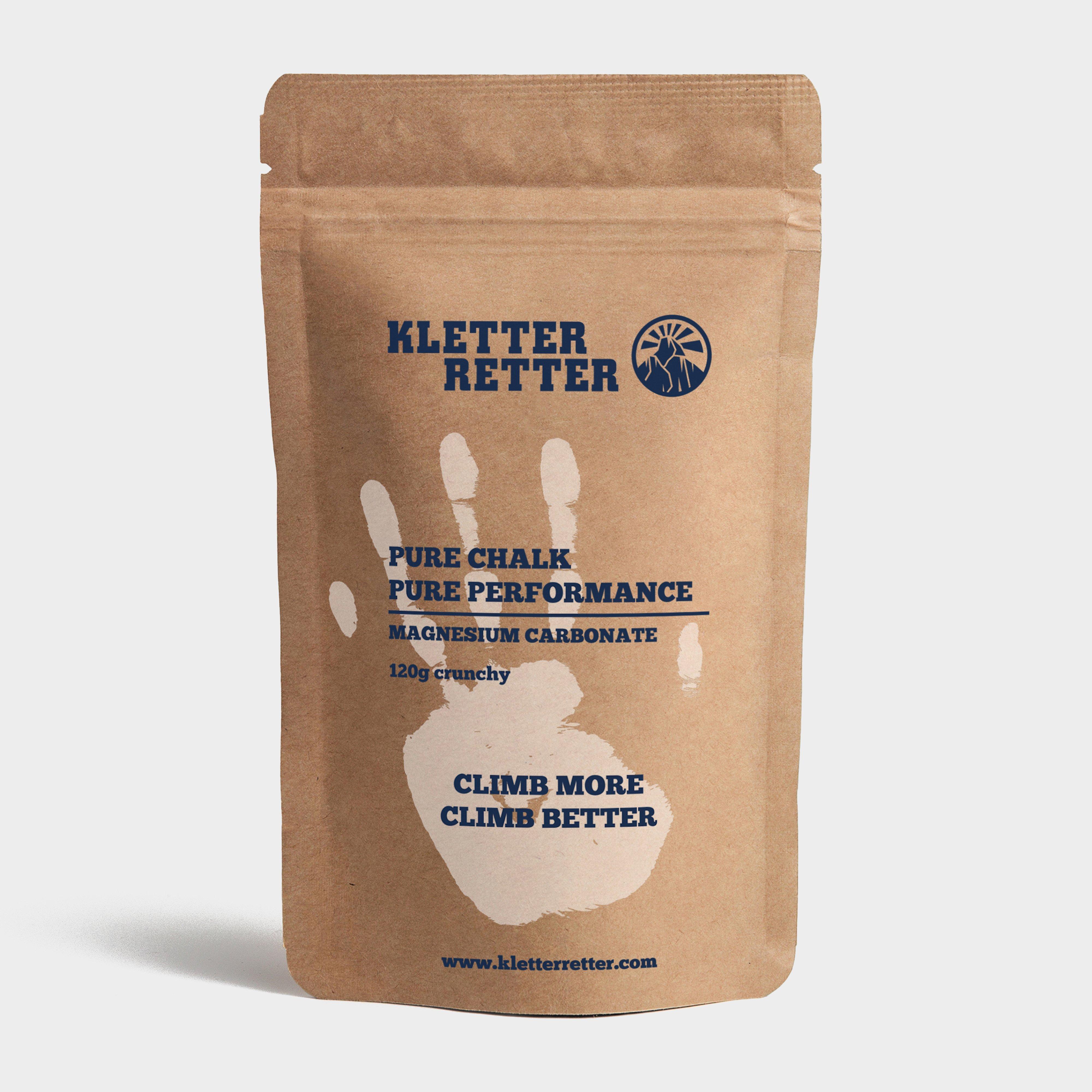
Kletterretter Crunchy Chalk 120G - White, White
Made from 100% fine magnesium carbonate, this chalk increases friction, improves grip and is suitable for beginners, pros and everything in between. It comes in big chunks you can crush yourself.Easy to manage due to the handy resealable zip-lock packaging which is also made from recyclable kraft paper...
Regatta Peppa Pig Graphic Print Hoodie - Blue, Blue
Made with a hardwearing fabric that's brushed back for a soft and durable wear, the Kids' Peppa Pig Graphic Print Hoodie is perfect for casual weekends or playing in the park! Complete with a cosy hood to keep them warm and a fun graphic.Fixed hoodHardwearing Super softFabric: 65% Polyester, 35% Cotton
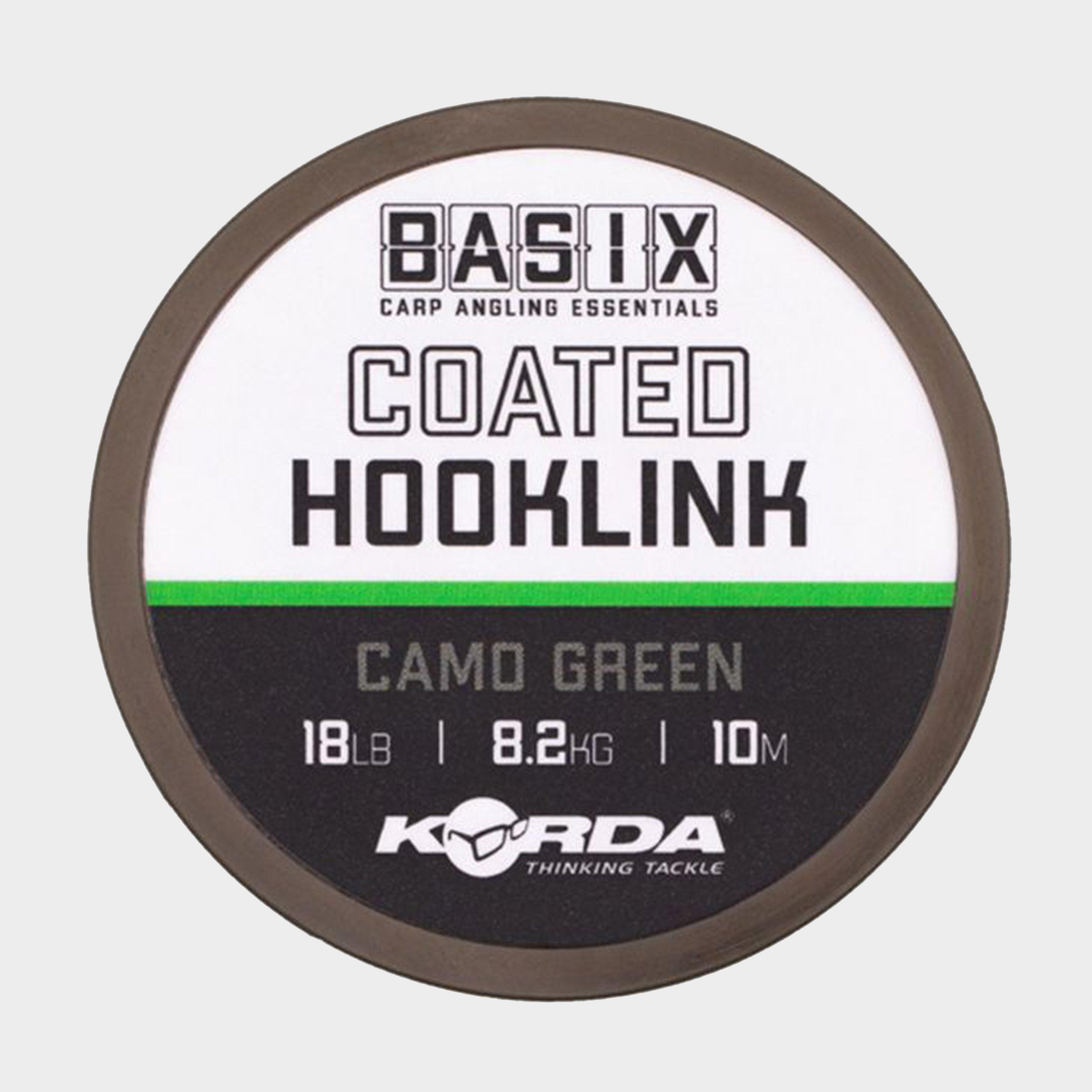
Korda Basix Coated Hooklink 18Lb 10M - Black, Black
Basix Coated Hooklinks feature a soft and supple coated braid coated in a camo green colour, making it virtually undetectable to carp in the water. The braid coating can also be easily stripped back to create hinges that grant additional movement.Coated braid materialSuitable for variety of bait presentationsLays...
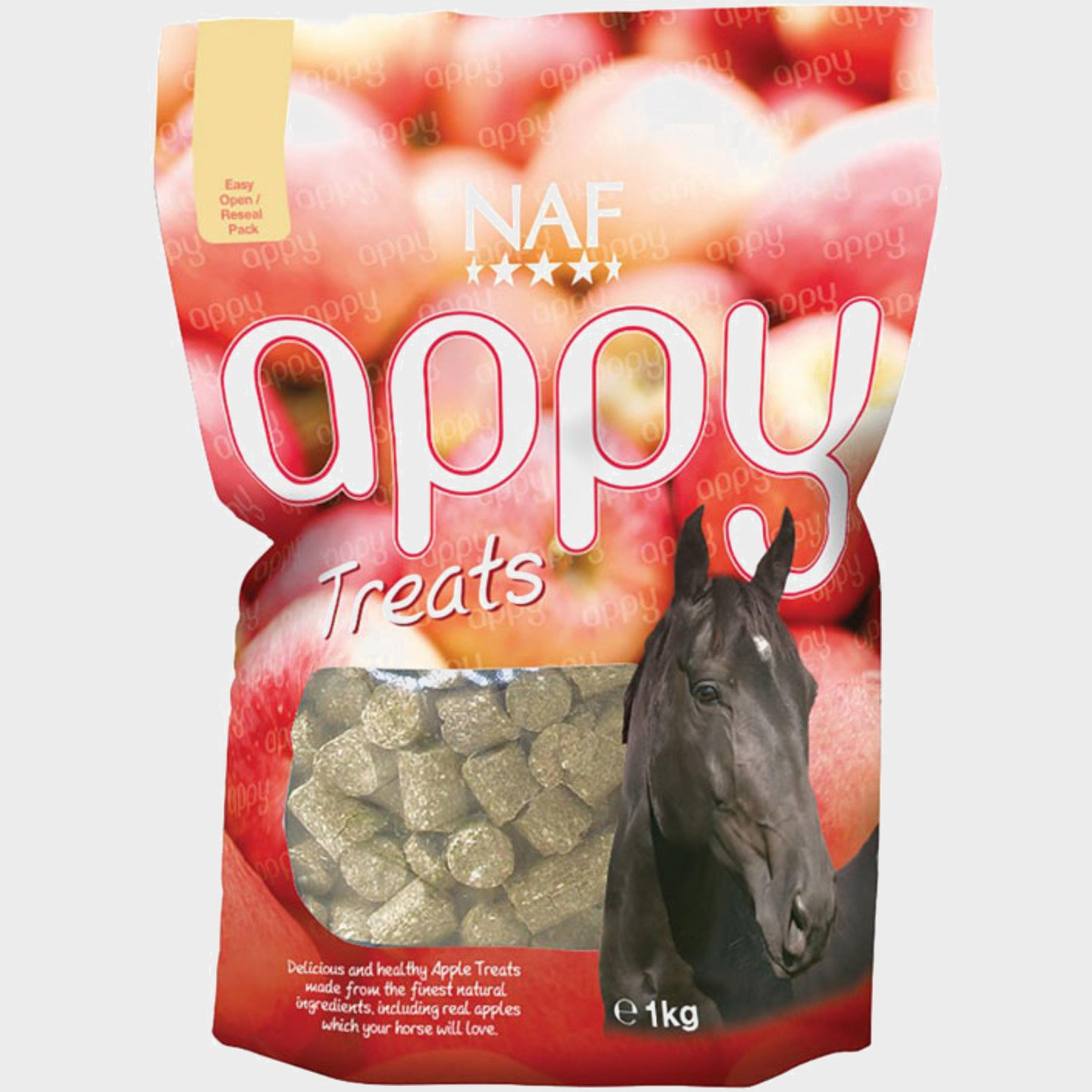
Naf Appy Horse Treats - Apple, Apple
Great for everyday feeding or rewardsComposition: barley, wheat, forage meal (Lucerne), Linseed oil, Apple (dried, 0.2%)Additives (per kg): apple flavouring (0.1%)Analytical constituents: crude protein (9.9%), crude oils and fats (2.2%), crude ash (3.5%), crude fibre (5.6%), sodium (0.06%)
Korda Spinner Hook Sections Kurv Barbless Size 4 (3 Pack) - Grey, Grey
The Spinner Hook Sections Kurv from Korda offers excellent hooking potential and allows anglers to change the hook quickly without having to tie a new rig. It's available in a variety of sizes and each pack contains 3 spinner sections and free hook beads.· Offers super hooking potential· Allows...
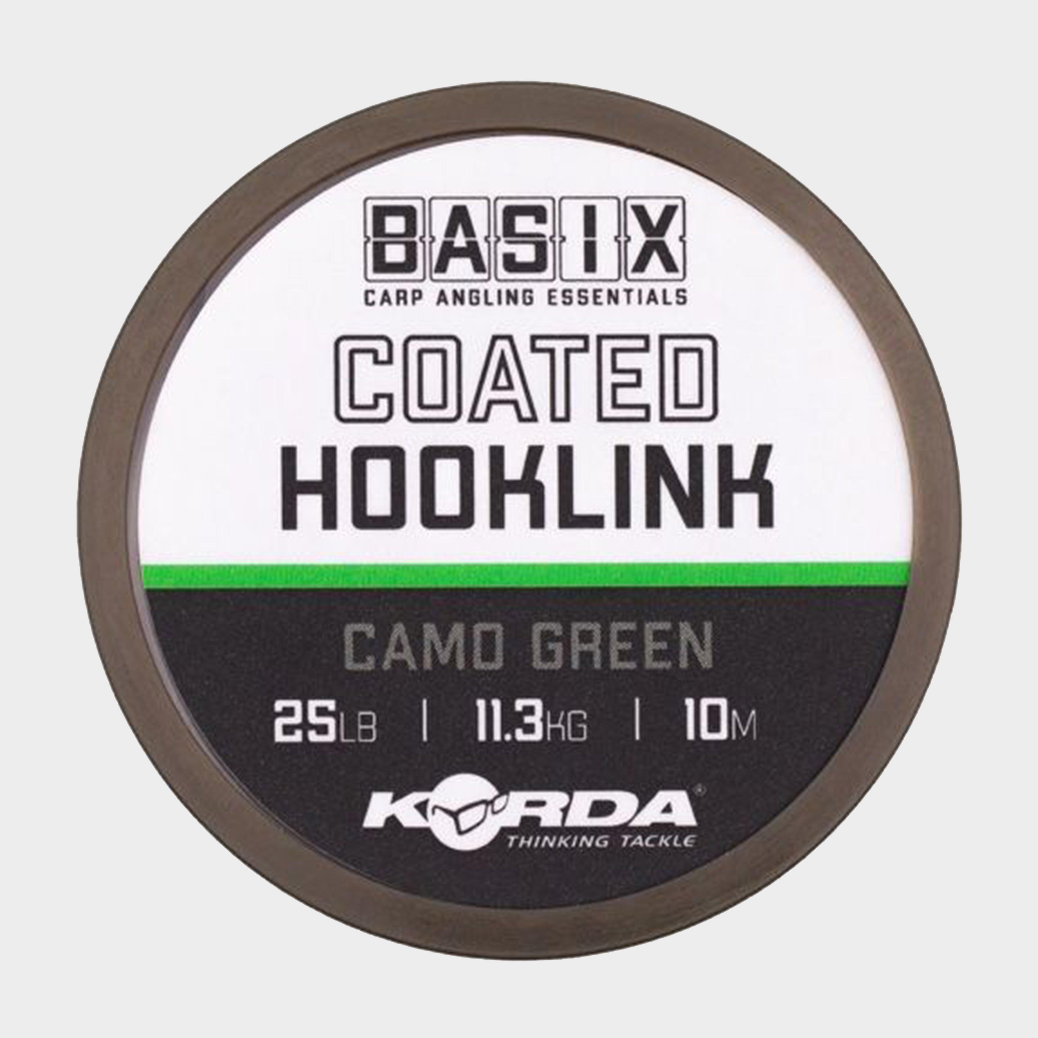
Korda Basix Coated Hooklink 25Lb 10M - Black, Black
Basix Coated Hooklinks feature a soft and supple coated braid coated in a camo green colour, making it virtually undetectable to carp in the water. The braid coating can also be easily stripped back to create hinges that grant additional movement.Coated braid materialSuitable for variety of bait presentationsLays...
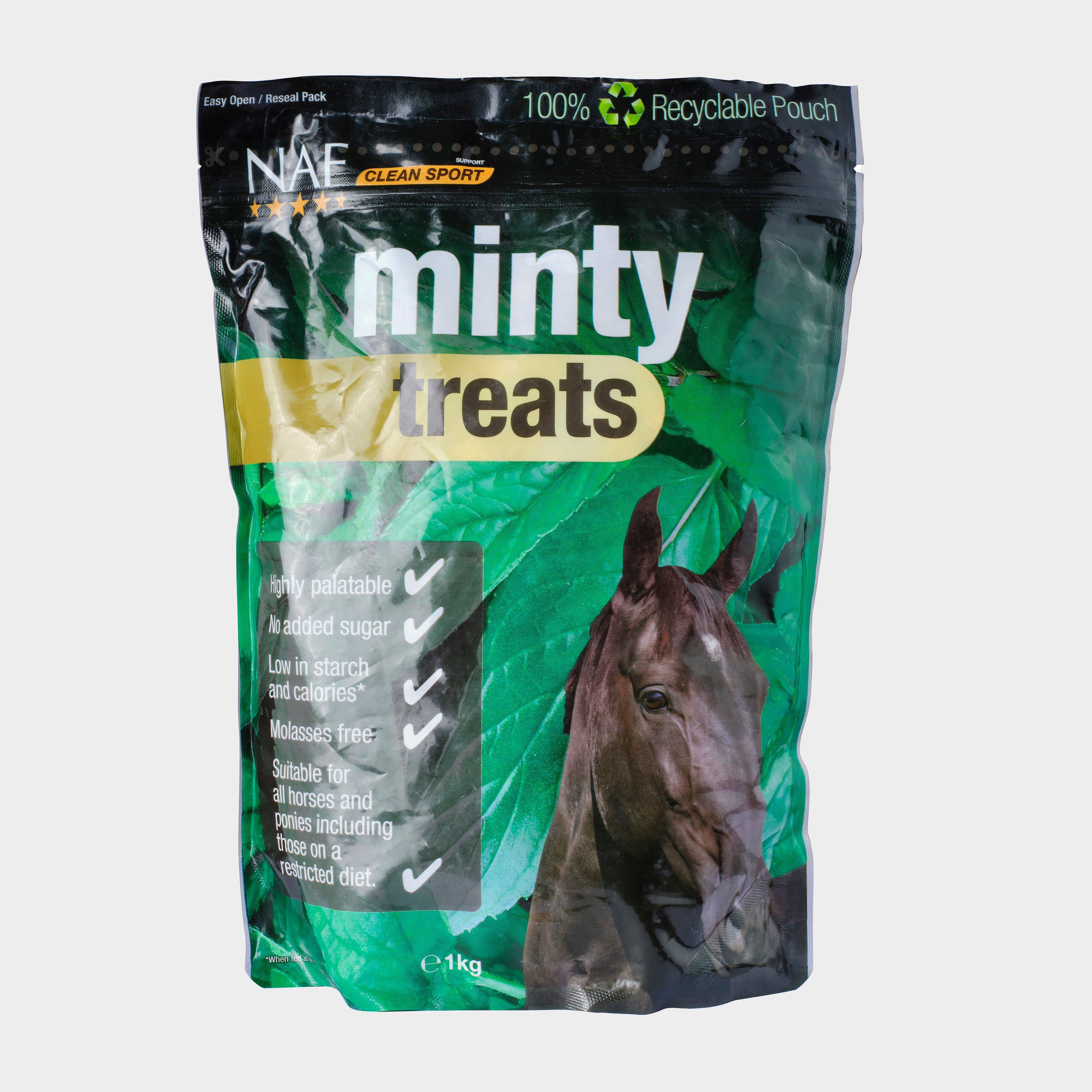
Great for everyday feeding or rewardsComposition: barley, wheat, forage meal (Lucerne), mint (0.2%), calcium carbonate, sodium chlorideAdditives (per kg): cornmint oil, dementholised (0.3%), binder, bentonite (1m558i, 1000mg)Analytical constituents: crude protein (11.5%), crude oils and fats (2%), crude...
Korda Spinner Hook Sections Kurv Barbless Size 6 (3 Pack) - Grey, Grey
The Spinner Hook Sections Kurv from Korda offers excellent hooking potential and allows anglers to change the hook quickly without having to tie a new rig. It's available in a variety of sizes and each pack contains 3 spinner sections and free hook beads.· Offers super hooking potential· Allows...
Muc Off Expanding Microcell Sponge - Pink, Pink
Muc-Off's Microcell Sponge has been vacuum packed for maximum compactness, fully expanding out upon opening. Contoured for ergonomic convenience this is the perfect companion to H2O and bubbles when scrubbing your trusty steed.
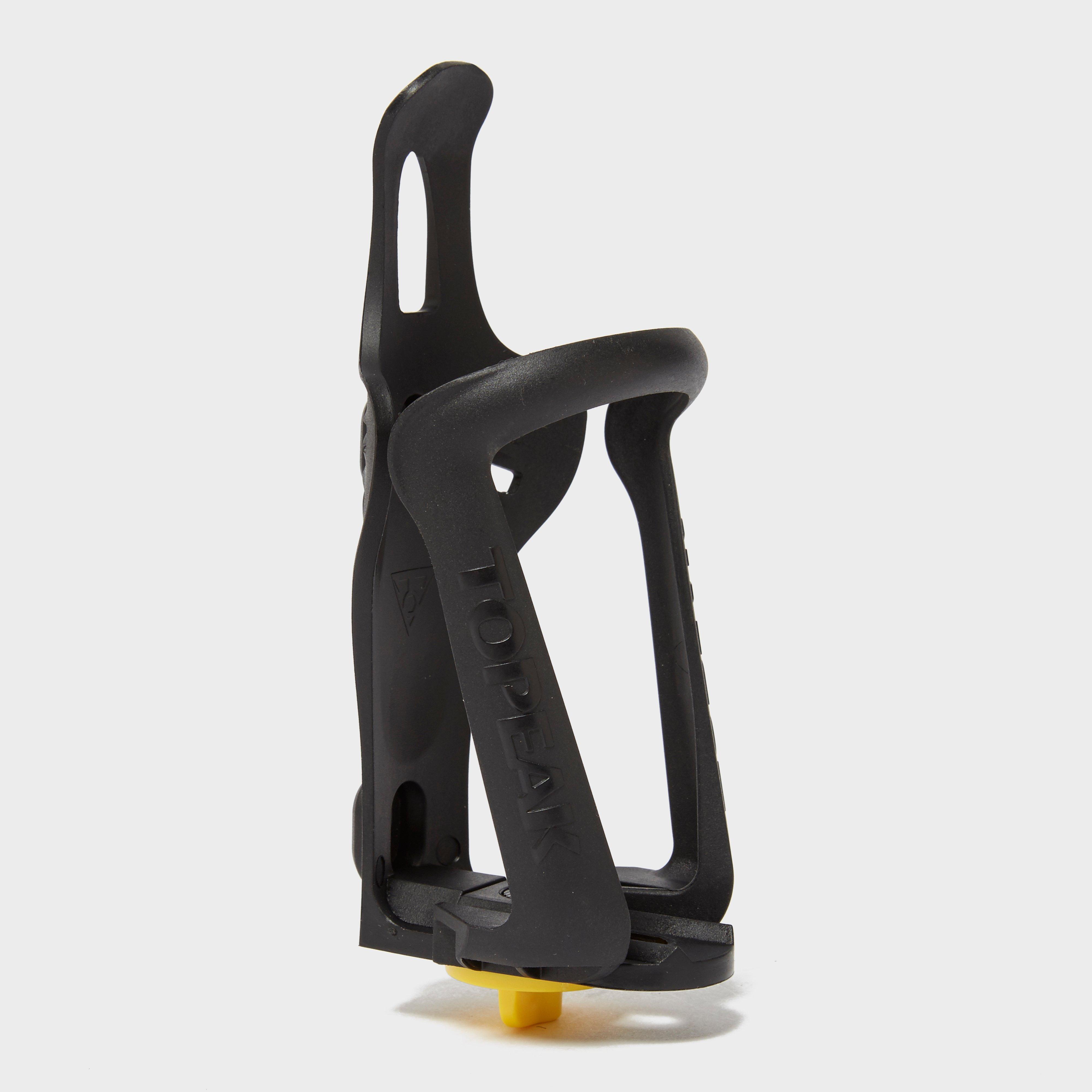
Topeak Modula Cage Ex - Black, Black
Adjustable bottle cage from TopeakEngineered grade plastic Adjustable - fits various sizesWeight: 52g
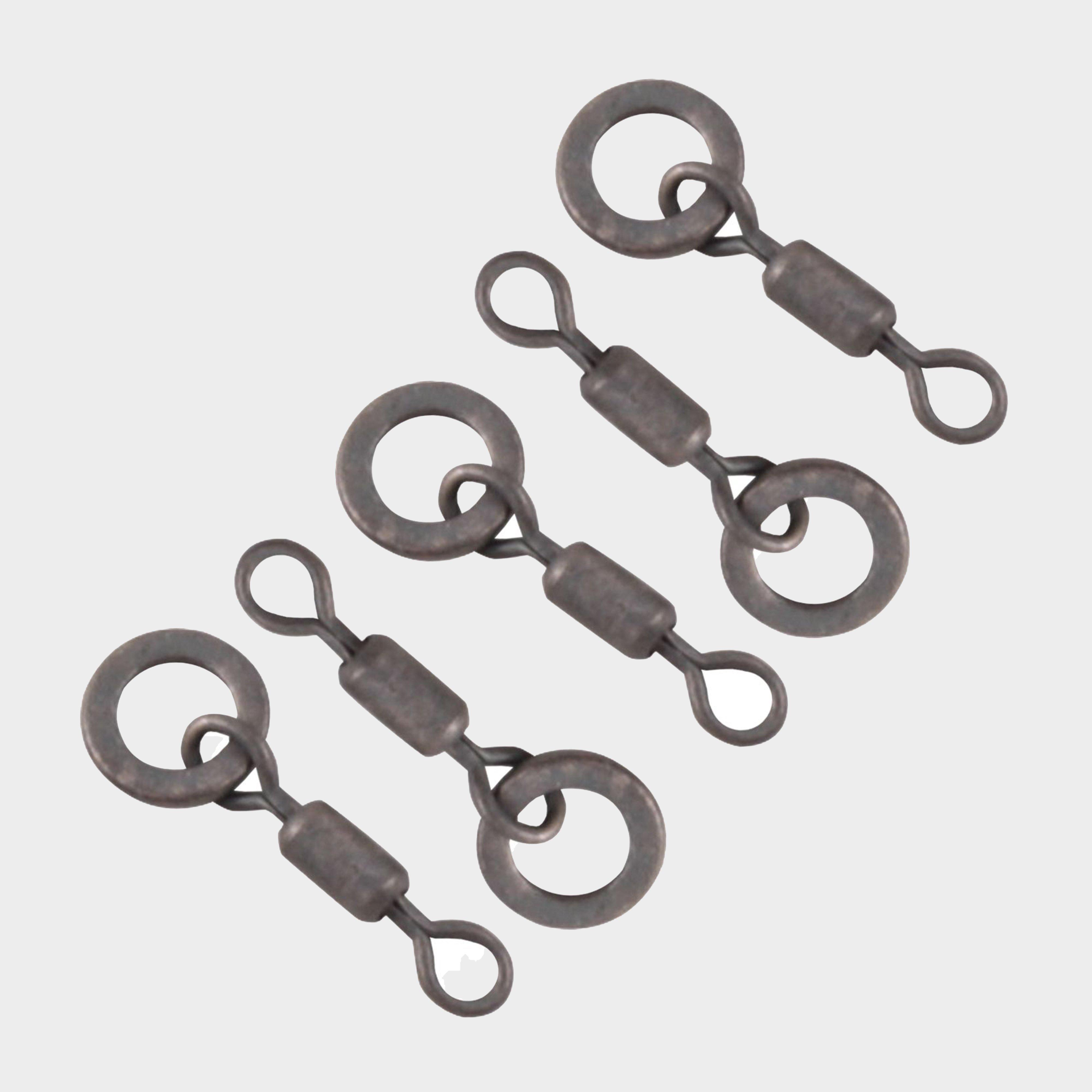
Korda Micro Ring Swivel Medium - Black, Black
Micro rig ring swivelsUse with hook beadsNon-reflective colourSize: MediumPack of 10Product Code: KMRSM


