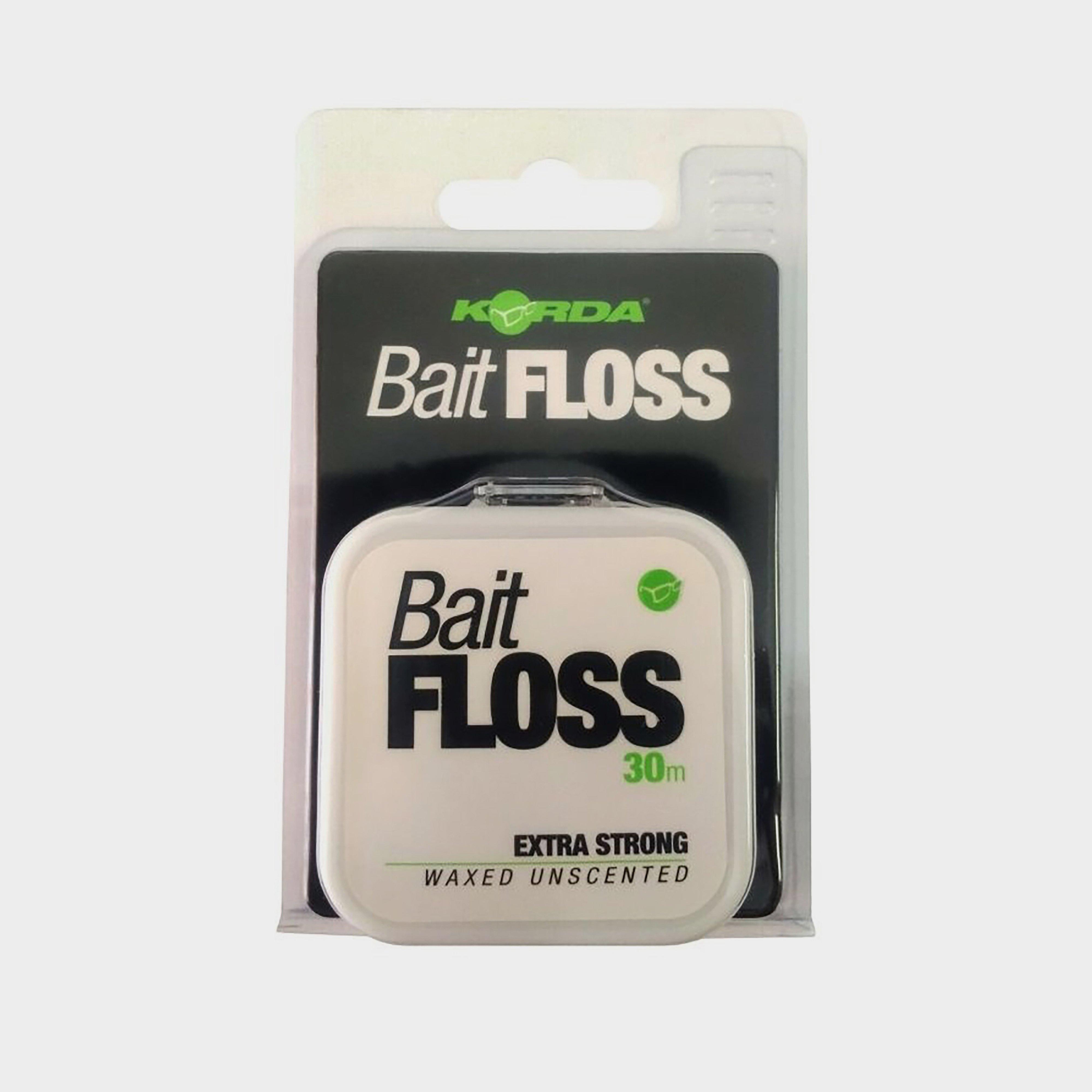
Korda Bait Floss - White, White
Korda Bait Floss is extra-strong and waxed to improve its grip, supplied on a 30 metre spool to last for many fishing trips. Running a lighter under the white floss will turn it transparent to suit a range of applications.White flossExtra strongWaxed finishRunning a lighter over the floss makes it transparent30m...
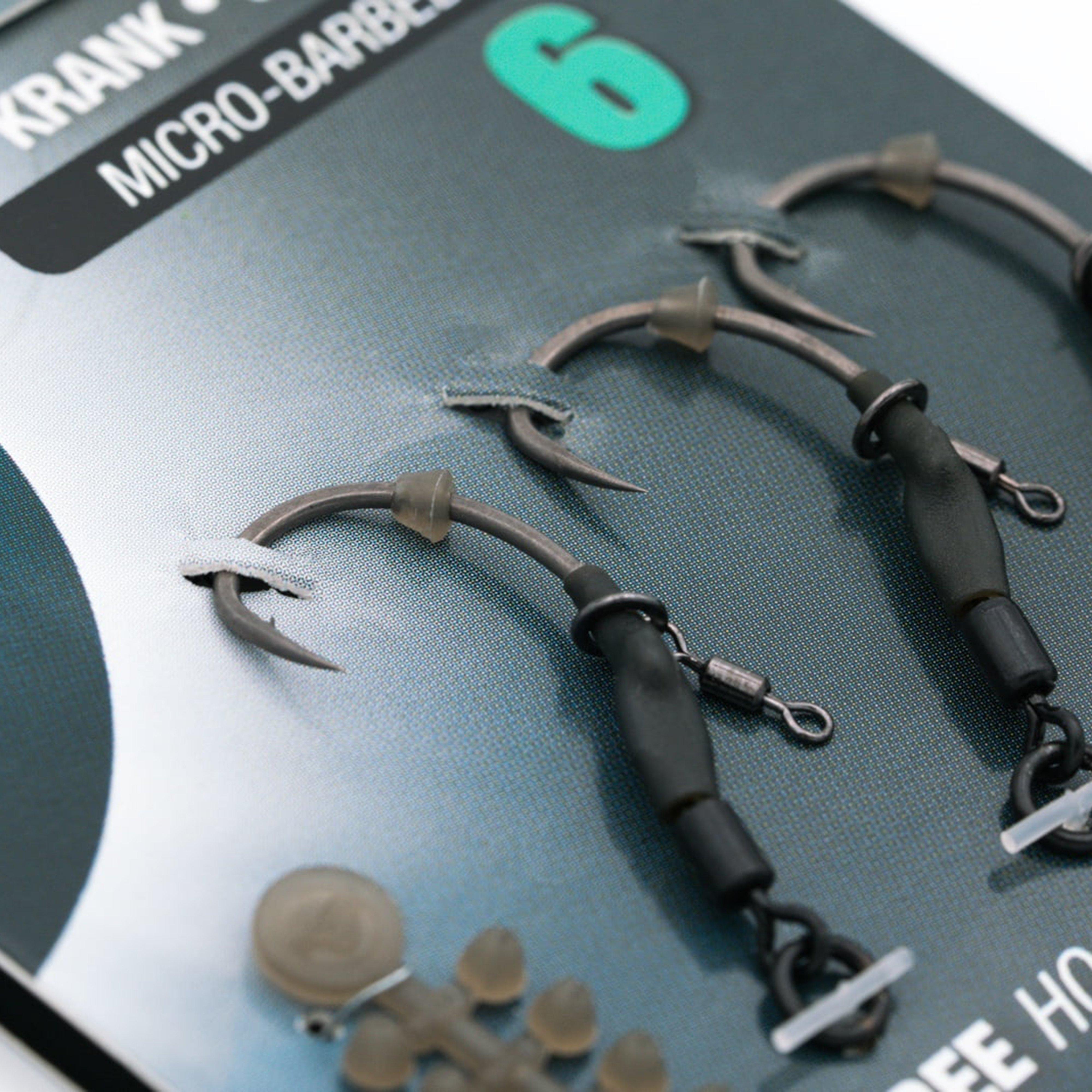
Korda Spinner Hook Sections Kurv Barbed Size 6 (3 Pack) - Grey, Grey
The Spinner Hook Sections Kurv from Korda offers excellent hooking potential and allows anglers to change the hook quickly without having to tie a new rig. It's available in a variety of sizes and each pack contains 3 spinner sections and free hook beads.Offers super hooking potentialAllows anglers to...
Petface Lilly Lollipop Plush And Rope Dog Toy - Multi, Multi
This colourful toy is perfect for younger or older dogs. Helping to encourage dogs' playful nature naturally. This Retro plush lollipop toy will become an instant pet favourite, it's super fun and will keep your canine friend occupied for hours. It's also snuggly, cuddly and luxuriously soft. Great for...
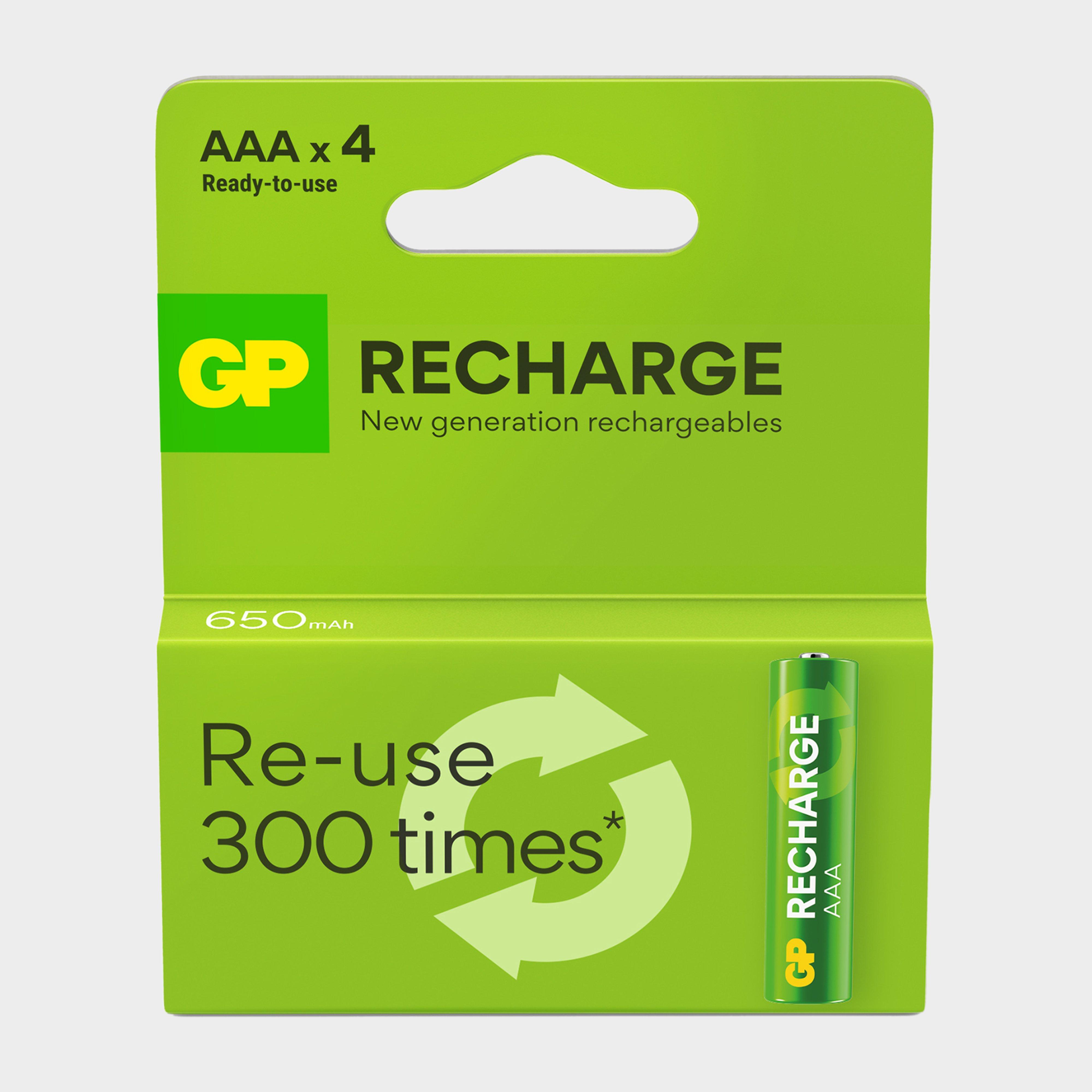
Gp Batteries Rechargeable Aaa Battery 4 Pack - Green, Green
· 4x 1.2V AAA Batteries· 650mAh· Ready to use· Rechargeable - Usable up to 300 times· Lasts 9x longer than single-use battery· Retains up to 70%power after 1 year storage· Works in extreme temperatures -20C to 50C
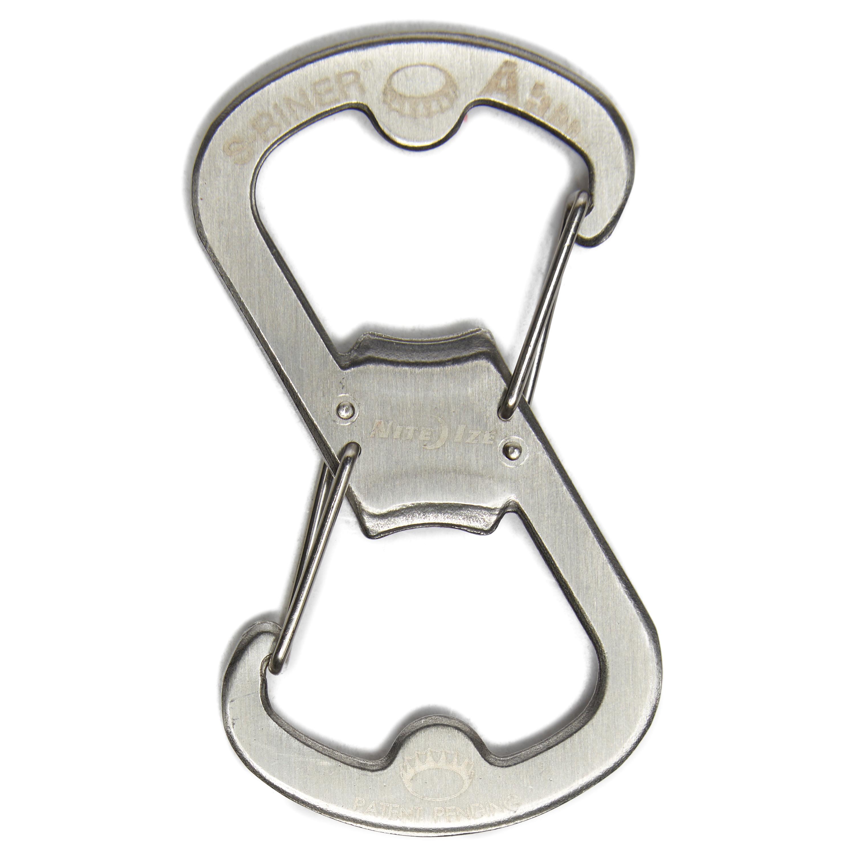
Niteize S-Biner Ahhh - Silver, Silver
FeaturesHardwearing and innovative karabiner from Nite IzeHigh quality stainless steel construction - this hardwearing layer is built to last.Stores valuables on one end, clip with the otherBoth ends function as a bottle openerDimensions (approx): 81mm x 45mm x 7mmWeight: 33gNot to be used for climbing*Recommended...
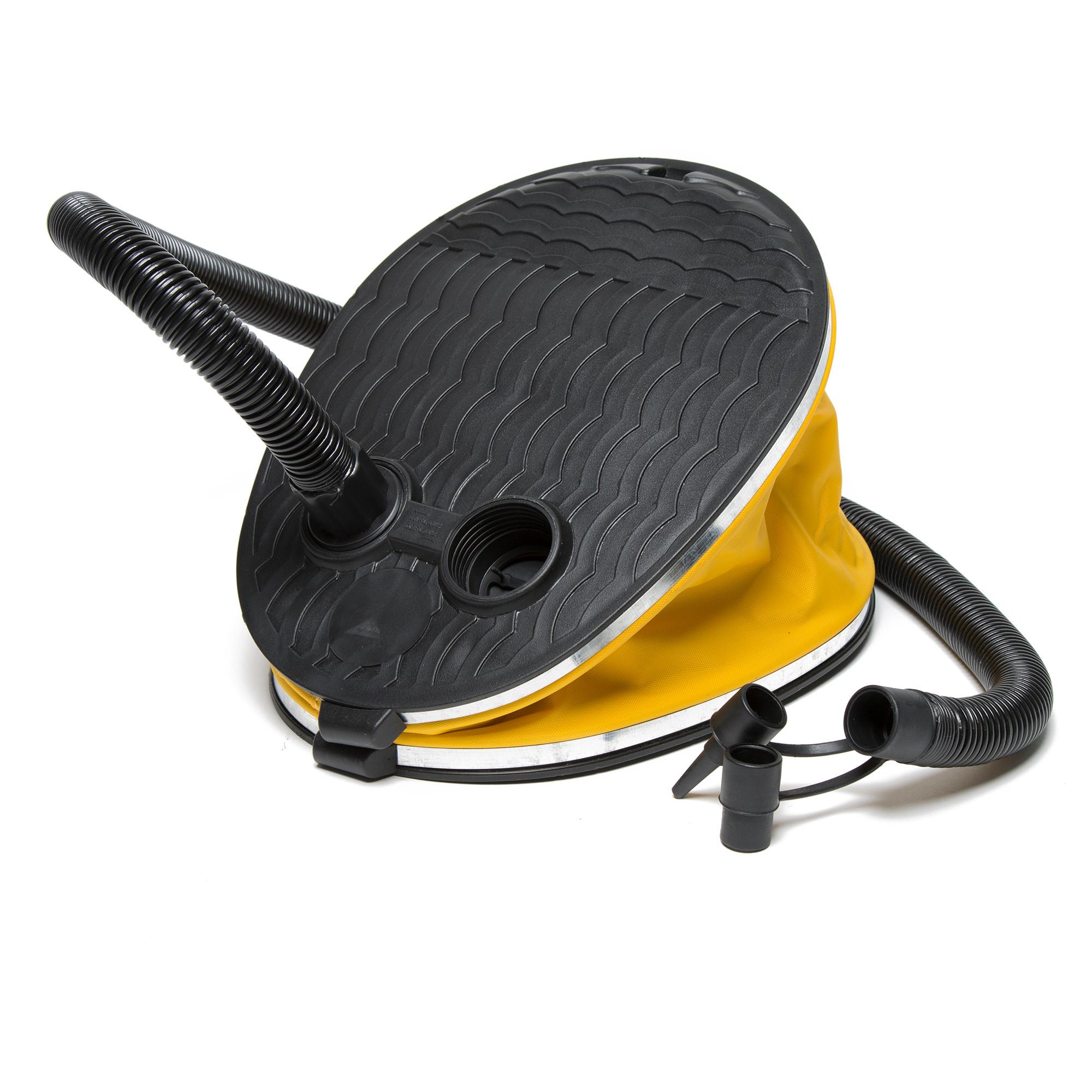
Eurohike 5L Bellows Foot Pump - Black, Black
No need for elbow grease with this handy pump from Eurohike. Easy to use with a 5L capacity, it's great for inflating camp beds quickly and efficiently. Small pack size for easy storage.Features5L capacityInflates and deflatesSmall pack sizeEasy to use
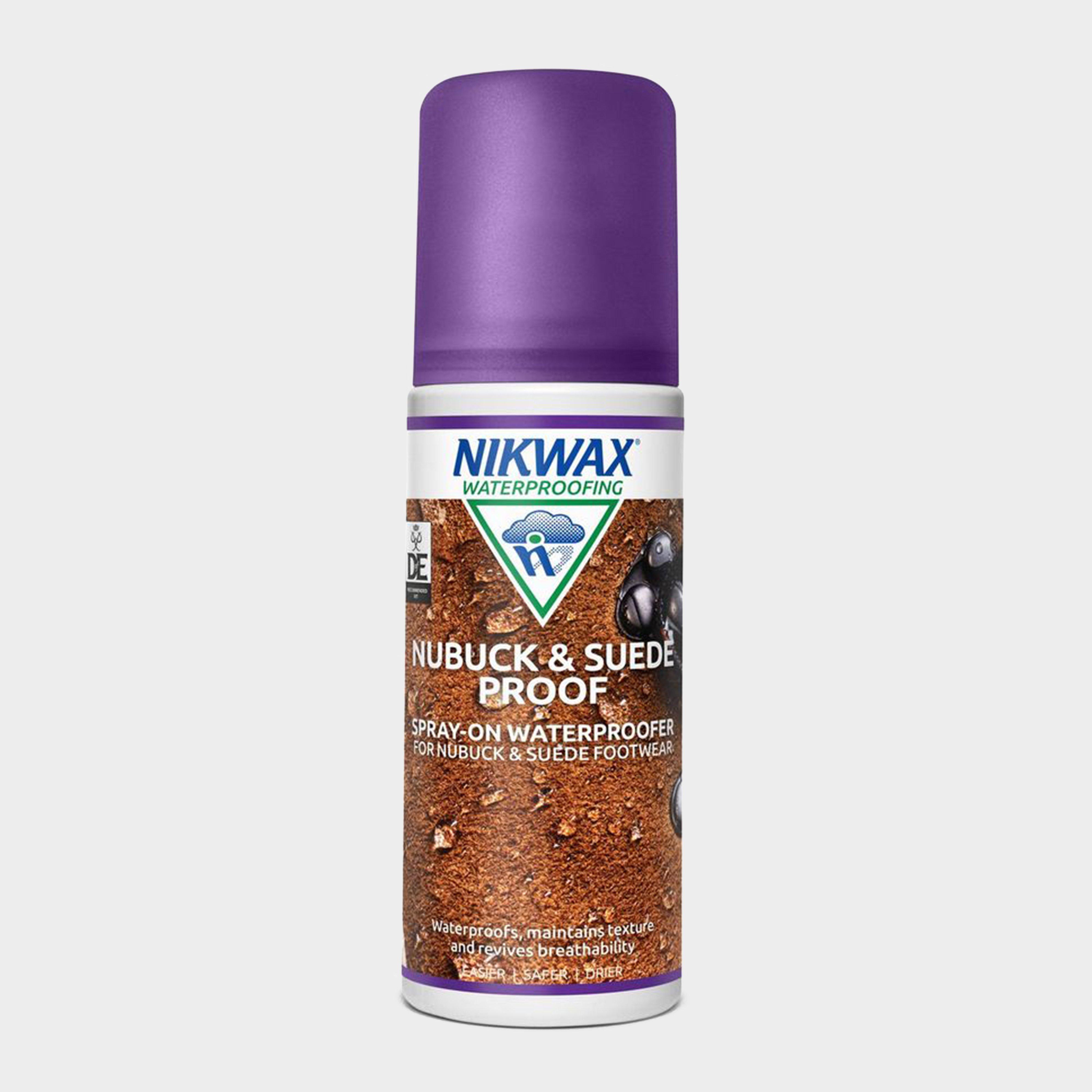
Nikwax Nubuck And Suede Leather Waterproofer - Clear, Clear
An easy application waterproofer for nubuck and suede leatherSpray or sponge on - versatile appliaction options allow for complete coverageProvides a Durable Water Repellent coating - acts as an extra shield for external moistureFlexible treatment - does not limit breathabilityMaintains material textureWaterBased...
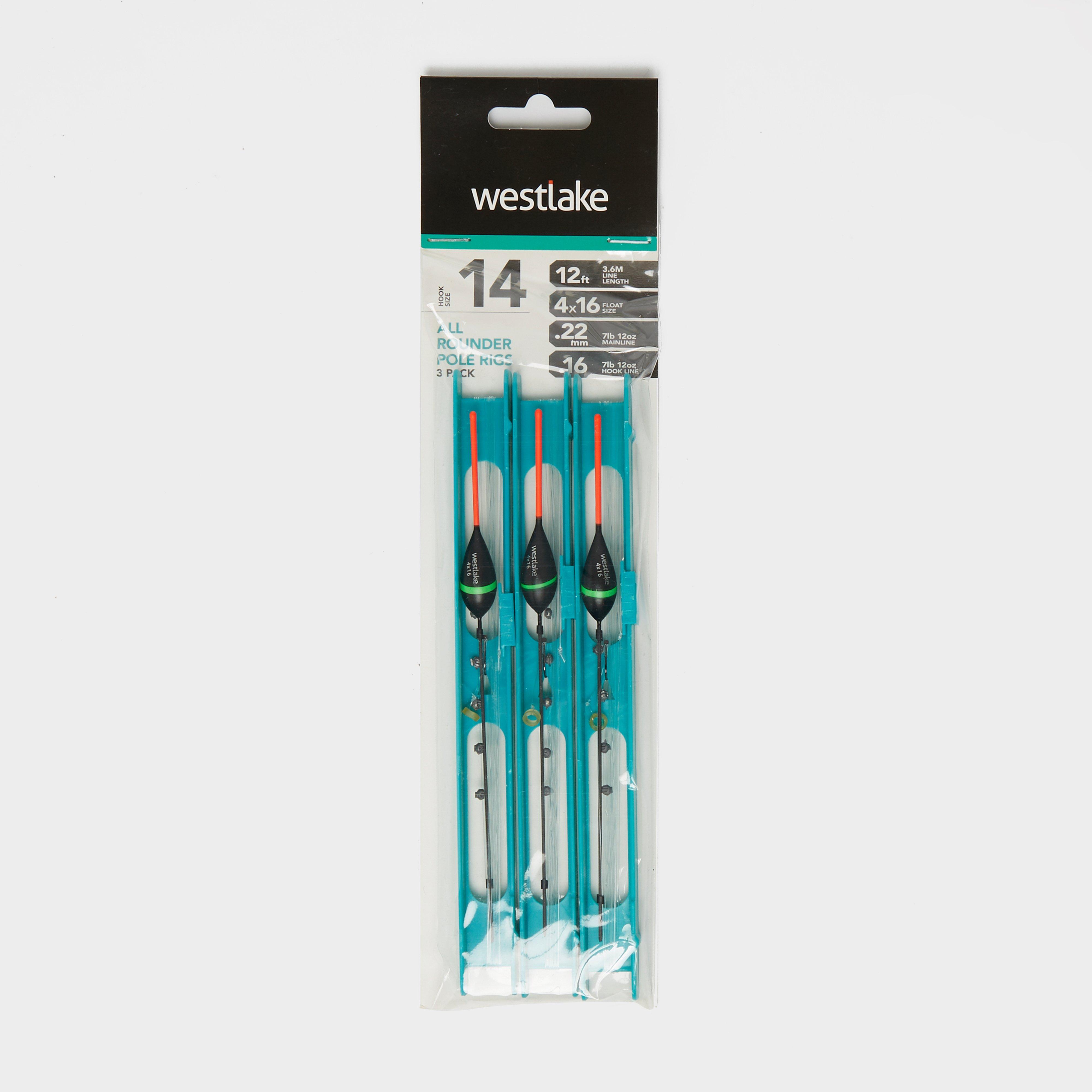
Westlake 3Pcs Pole Rig Pack All Rounder - Black, Black
Please note: The mainline is 9lb and the hooklength is 7lb. Please disregard the measurements in this products photo. Ideal for margin carp fishing, the Westlake All Round Commercial Pole Rig features a sliding lock system amongst its tackle box, making it super simple to store. Perfect for commercial...
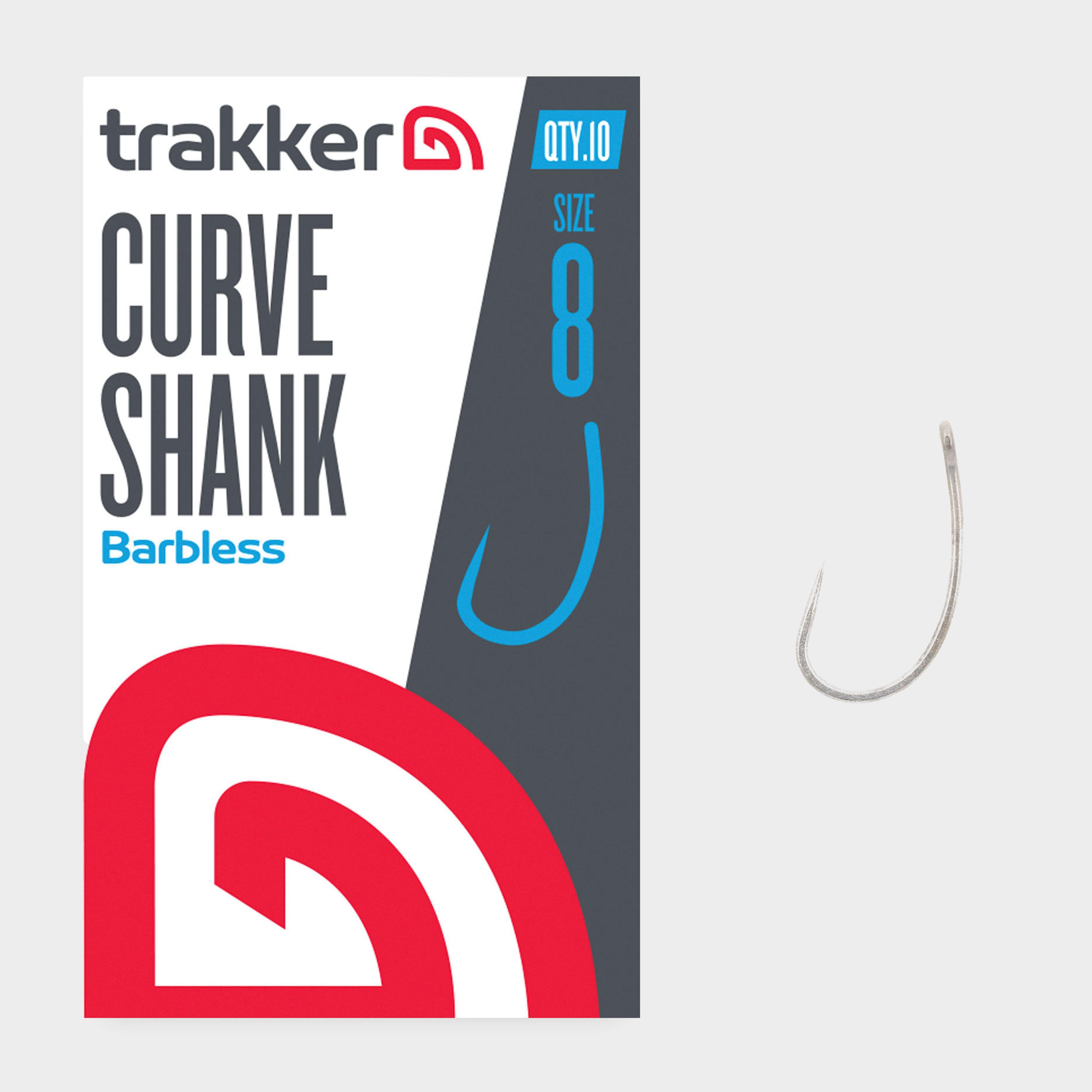
Trakker Cygnet Sniper Curve Shank Hooks Size 8 Barbless - Clear, Clear
Cygnet Sniper Curve Shank Barbless Hooks offer an aggressive curved shank hook pattern, with a chemically sharpened needle point to increase lifespan and durability.Aggressive curved shank hook patternChemically sharpened with long needle pointForged XC 80 Vanadium strong steel wire gaugeStraight eyeAnti-glare...
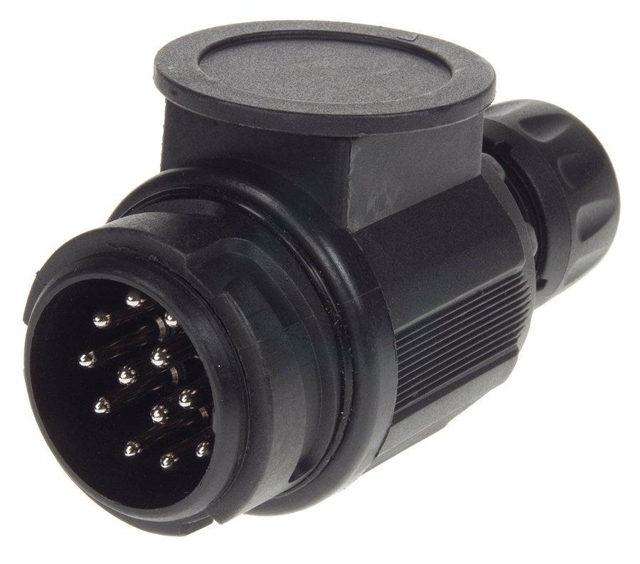
Maypole 13 Pin Plastic European Plug Connector - Black, Black
12V 13 pin plastic plug15mm cable grommetComplies with ISO11446Comes with full fitting and usage instructionsRecommended activity - caravanning / camping / driving
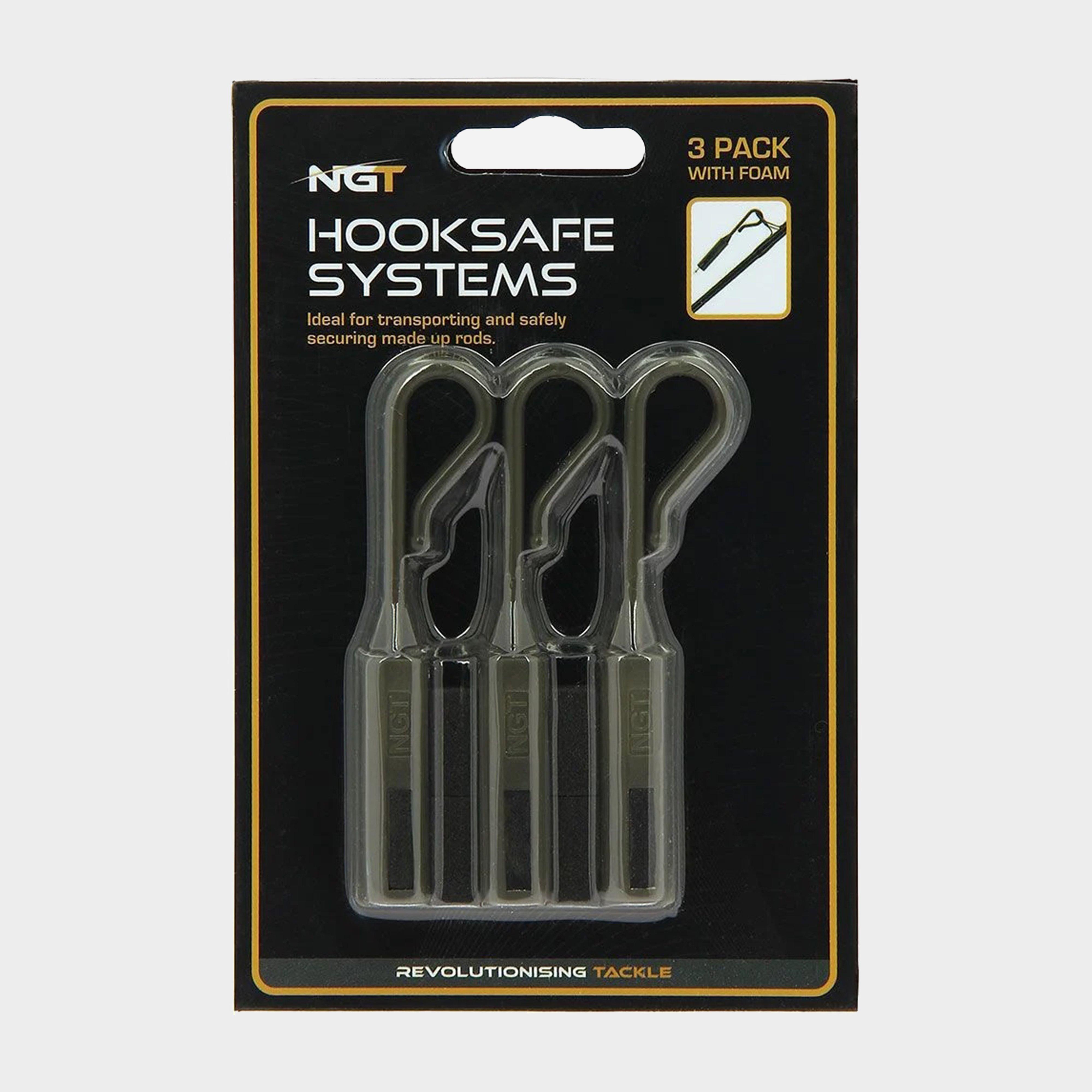
Ngt Hook Safe System 3 Rod - Black, Black
3 pack of hook safe systems, the system attaches to a rod ring followed by pressing the hook into the foam to prevent scratching the rod. The hook safe system keeps hooks sharp and safe.Supplied in packs of 3. Foam inlcuded
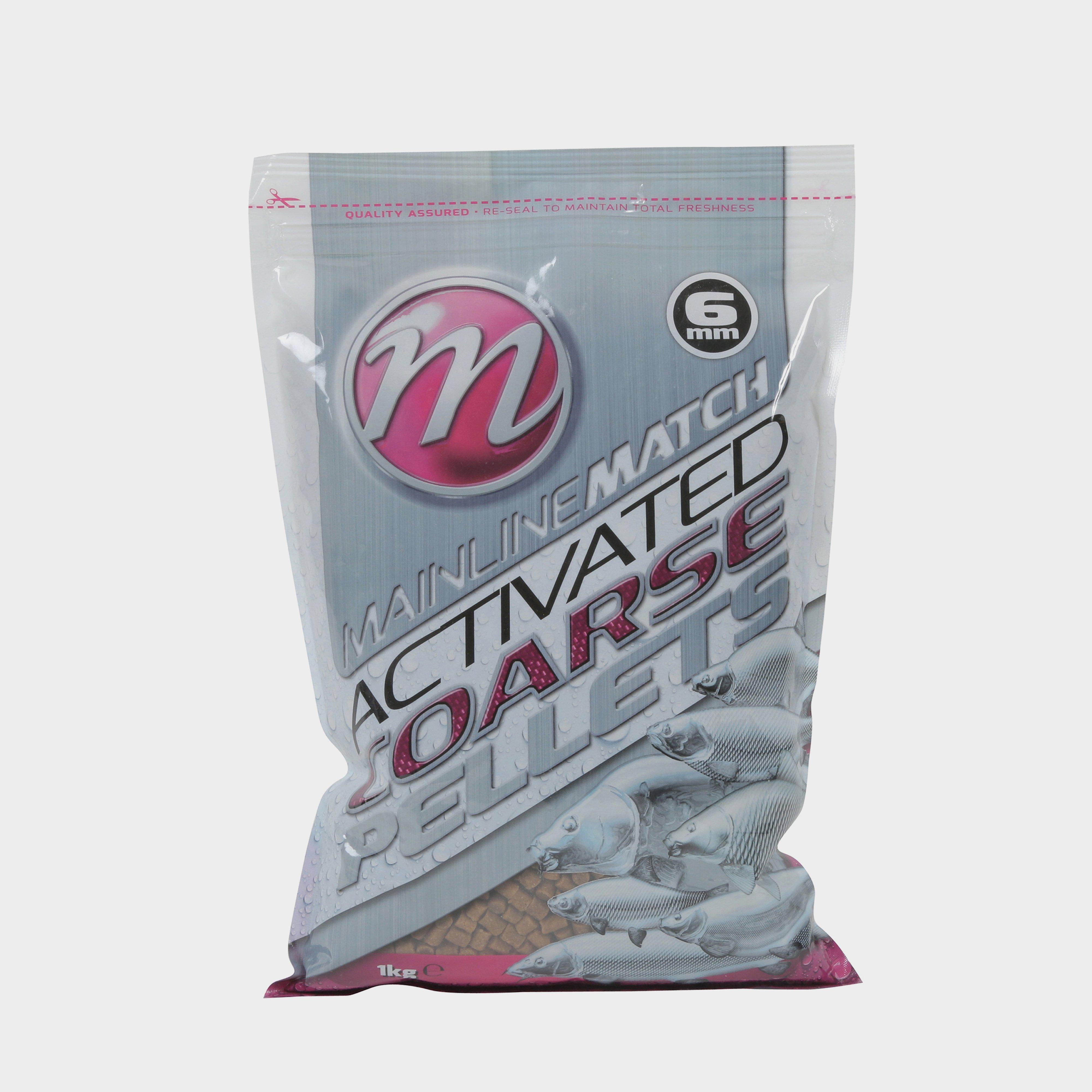
Mainline Match Coarse Pellets 6Mm 1Kg - Grey, Grey
Irresistible coarse pellets that encourage frenzy feeding.Mainline Match Activated Coarse Pellets are precision cut to size and give off potent food signals that will encourage the type of competitive feeding frenzy that makes landing a catch much easier. These pellets can be soaked for use with method...
Westlake Khaki Fine Knit Beanie, Khaki
The Westlake Fine Knit Beanie features an 100% acrylic outer with an 100% polyester fleece lining providing warmth and insulation when it's needed the most. Offering a classic fine knit look and finished in khaki, it will look perfect with the rest of your fishing gear, getting you in the zone to catch...
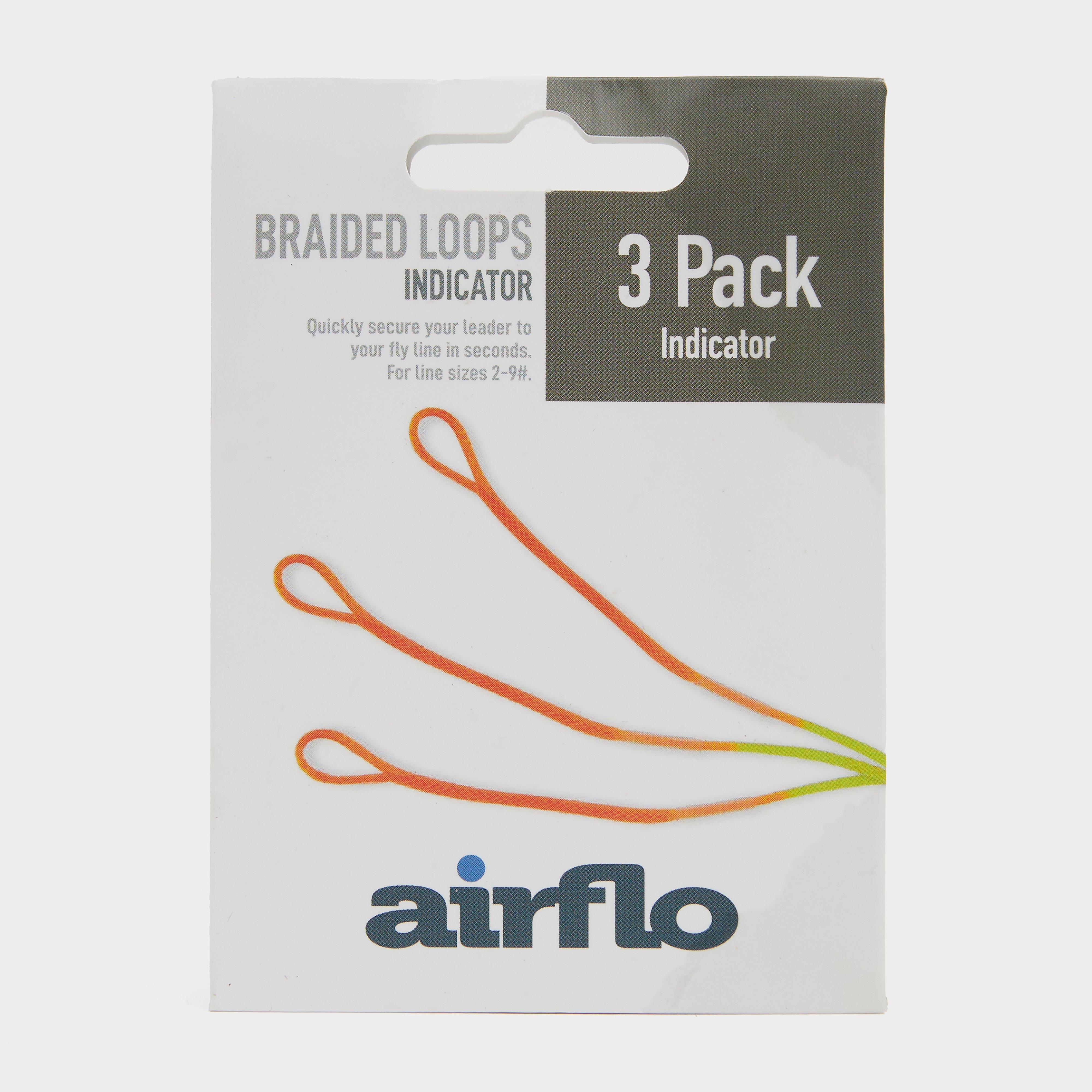
Airflo Ultra Trout Indicator Loops 3 Pack - Multi, Multi
· Ultra braided loops· For line sizes AFTM 2-9· Pre fitted with sleeves· Pack of 3· Colour: Multi· Product Code: UBLT3

