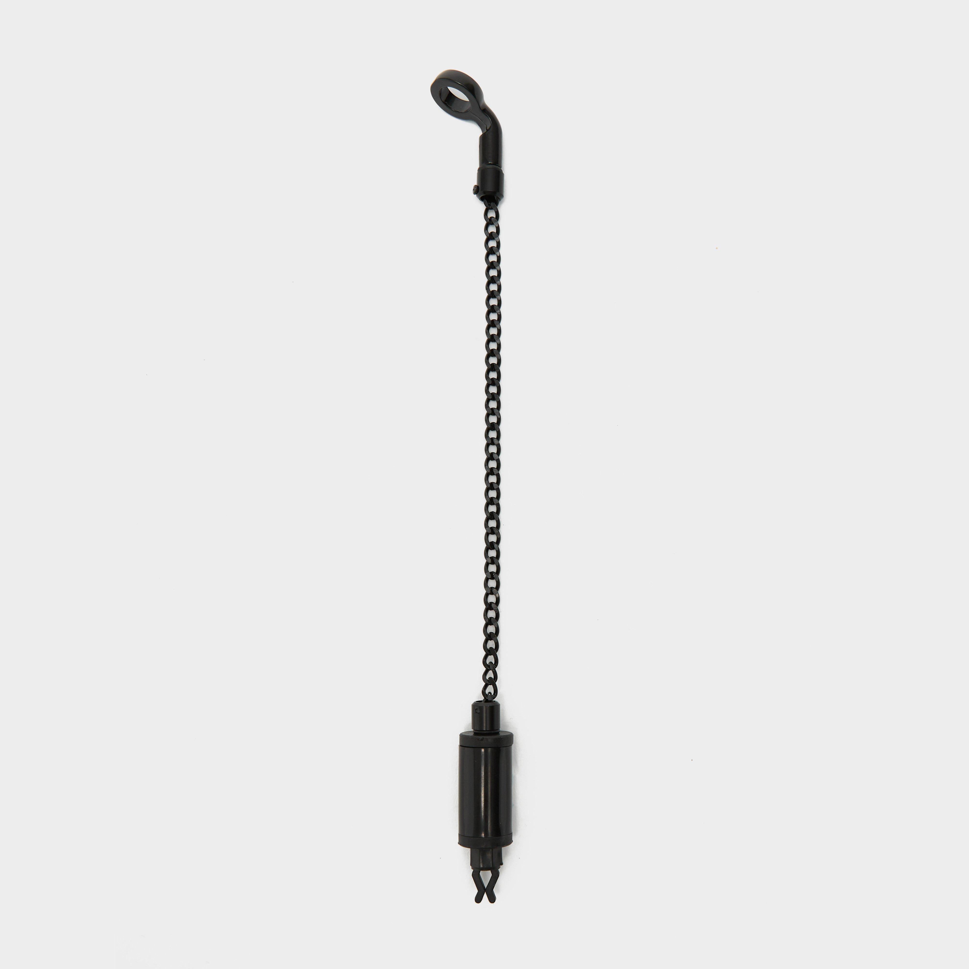
Westlake Kougar Hanger Black, Black
The Kougar Hanger features a shockproof body that boasts an integral Isotope slot, while the Diamond-style adjustable tension line clip and toughened metal chain ensure reliability. Adapt to diverse UK specimen fishing scenarios effortlessly with this versatile hanger, perfectly complementing Westlake...
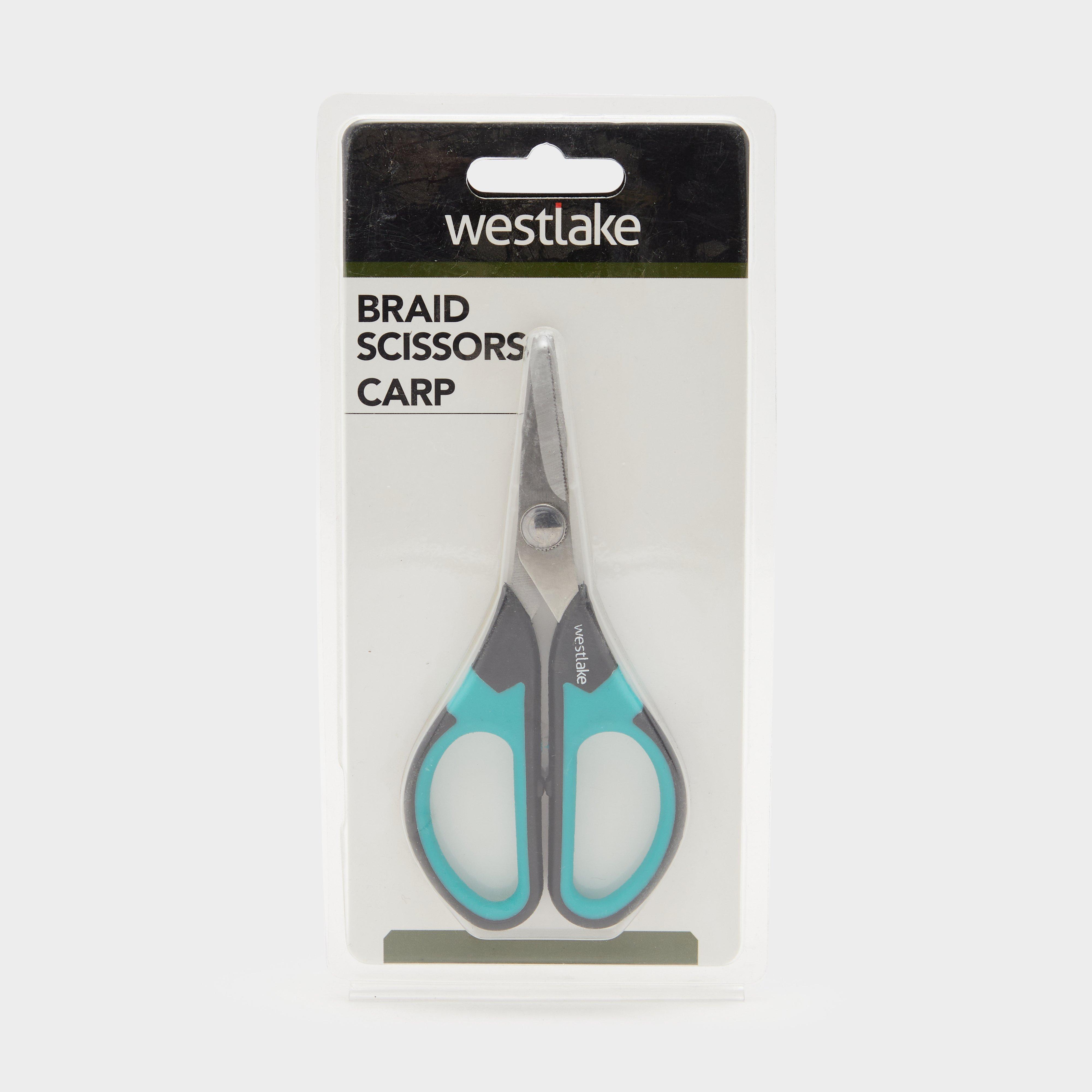
Westlake Braid Scissors Carp - Blue, Blue
These ultra-sharp scissors from Westlake will cut through most modern-day carp fishing hook length materials. They have been designed to be a handy tackle box size pair of scissors that are built to last.Perfect size for tackle boxUltra-sharpBuilt to lastCan cut through both braid and monoColour: Black...
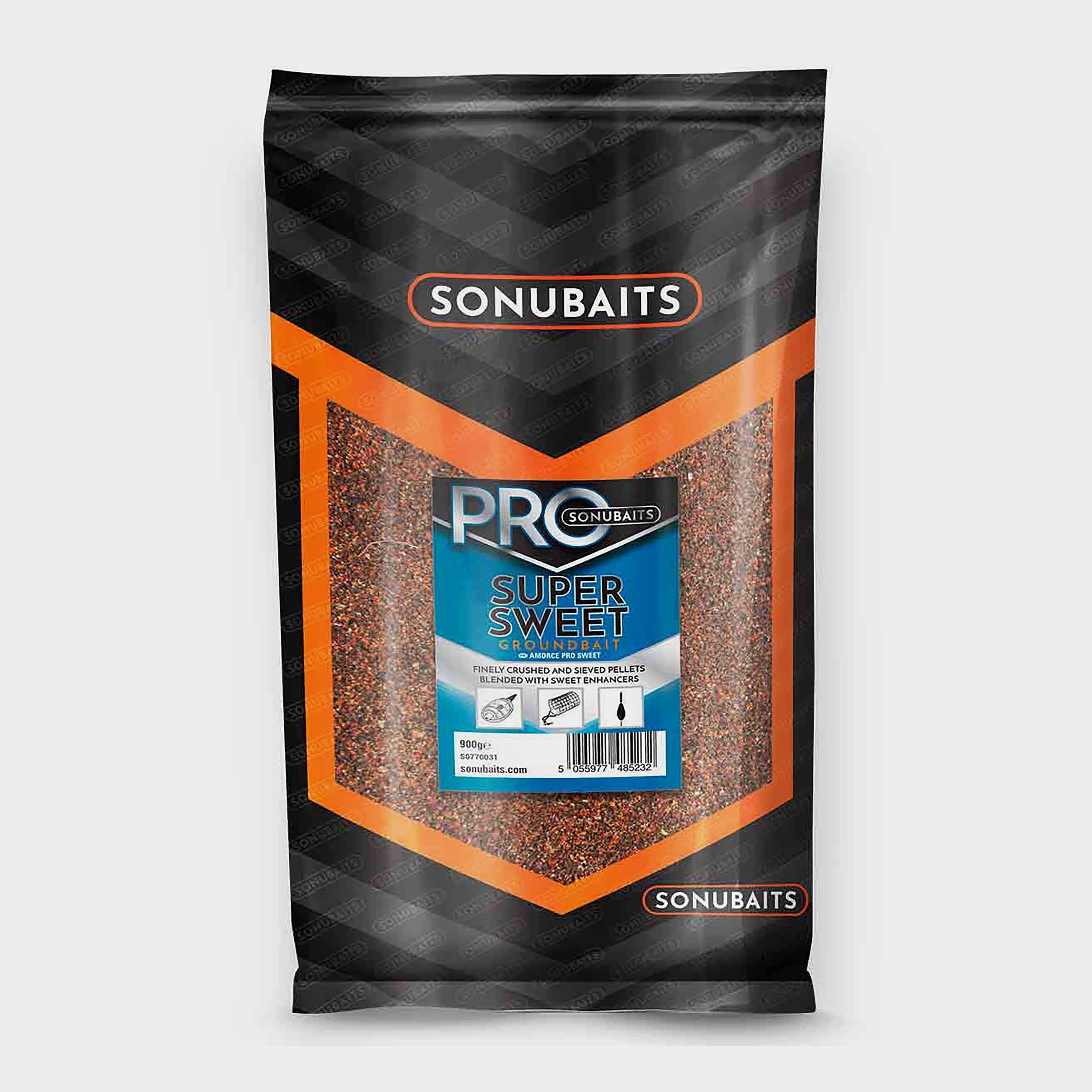
Sonu Baits Sonu Pro Sweet Groundbait - Brown, Brown
Containing finely crushed and sieved pellets, this groundbait can be used for all types of feeder fishing and pole fishing. If you are wanting to attract Bream or Skimmers then this groundbait will make your days by the bank very successful.Contains a blend of cereals and sweet fish attractorsPrefect...
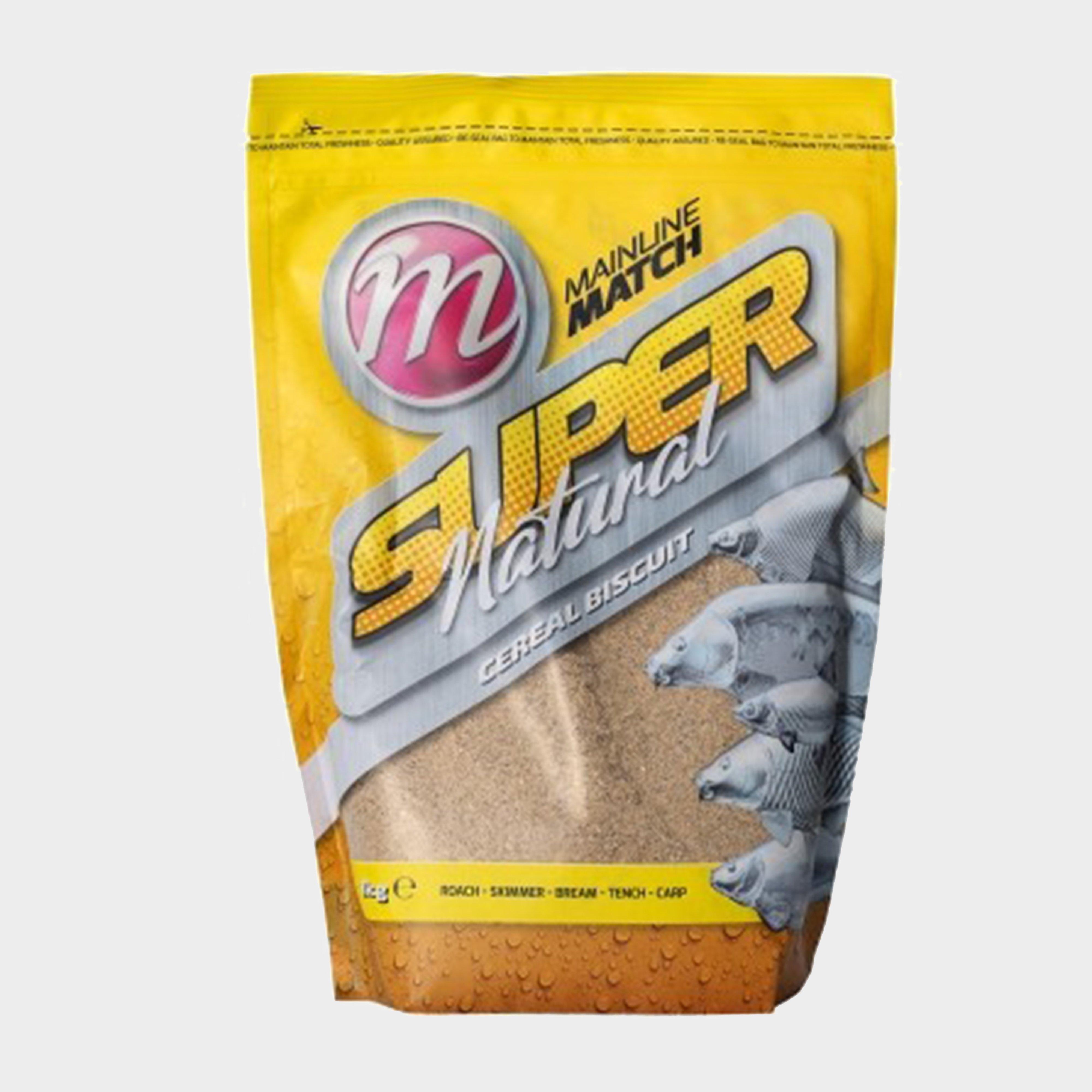
Mainline Match Super Natural Groundbait 1Kg - Brown, Brown
Super Natural Groundbait is a carefully crafted blend of sweet biscuits, fresh seeds, crushed hemp and quality breadcrumbs, combined with appetite-stimulating attractants. Crafted for natural venues with mixed fish, it strikes a balance between instant attraction and lasting feeding. As it releases soluble...
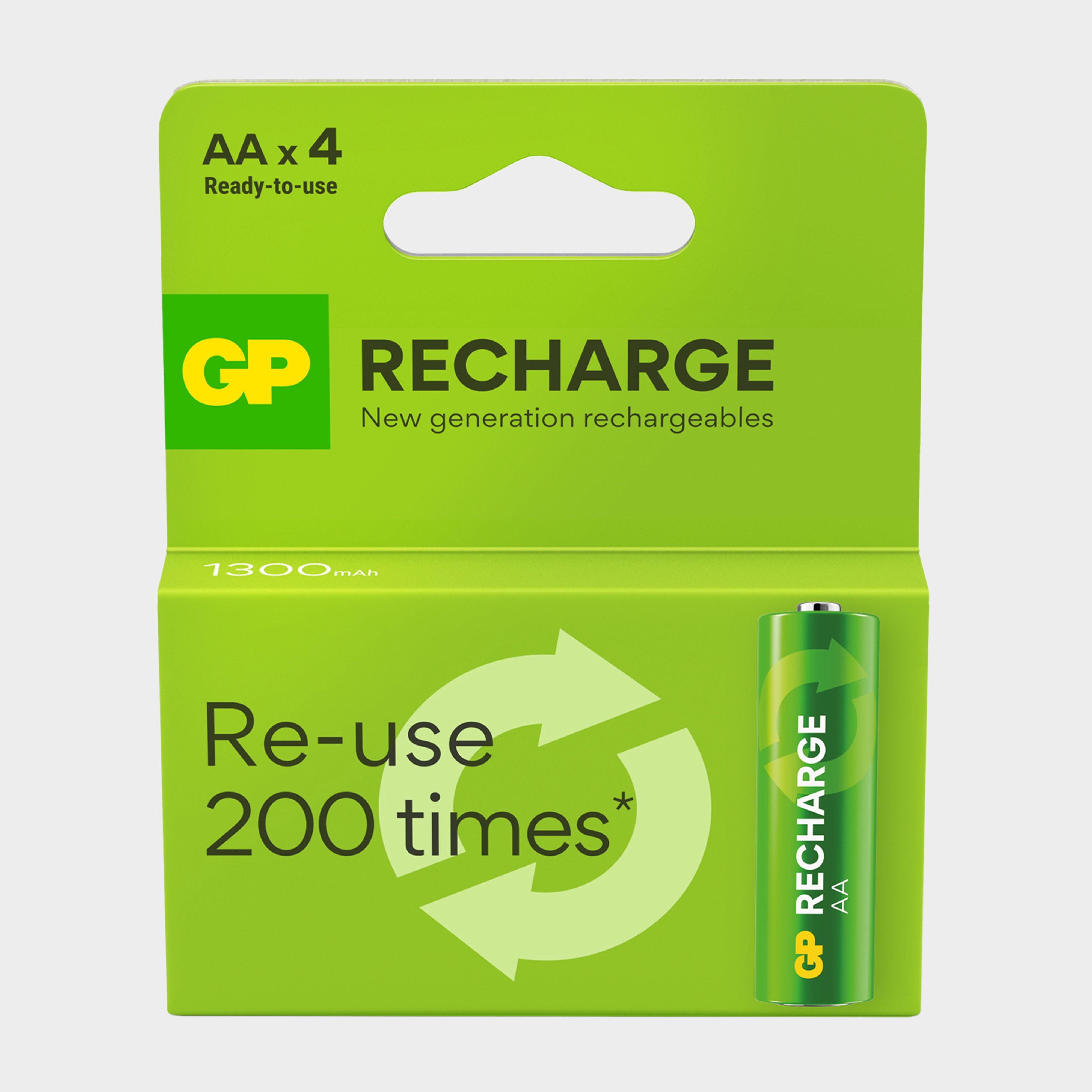
Gp Batteries Rechargeable Aa Battery 4 Pack - Green, Green
· 4x 1.2V AA Batteries· 1300mAh· Ready to use· Rechargeable - Usable up to 200 times· Lasts 3x longer than single-use battery· Retains up to 80%power after 1 year storage· Works in extreme temperatures -20C to 50C
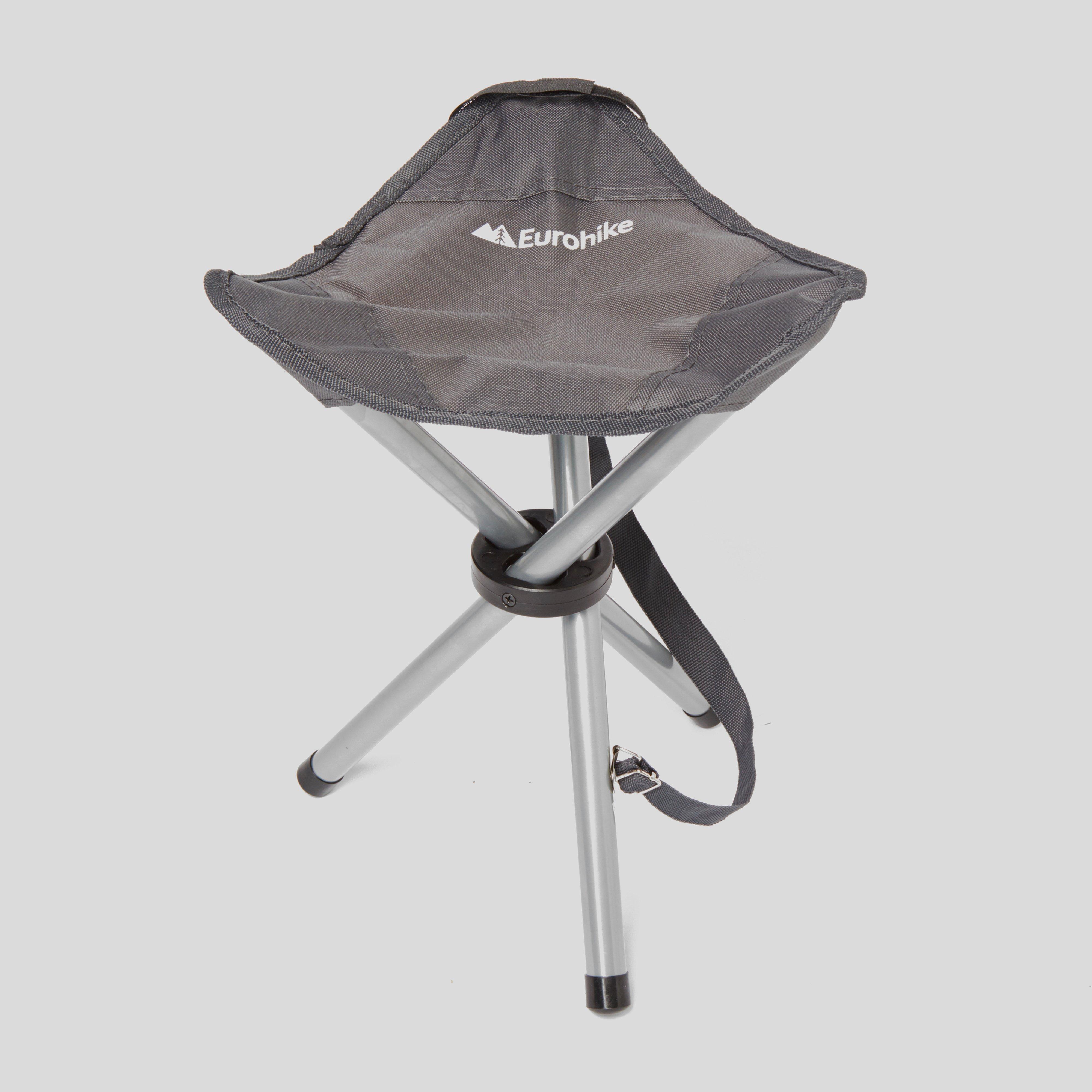
Eurohike Ohio Stool - Grey, Grey
Cosy seat for the campsiteTripod stoolCarry handle
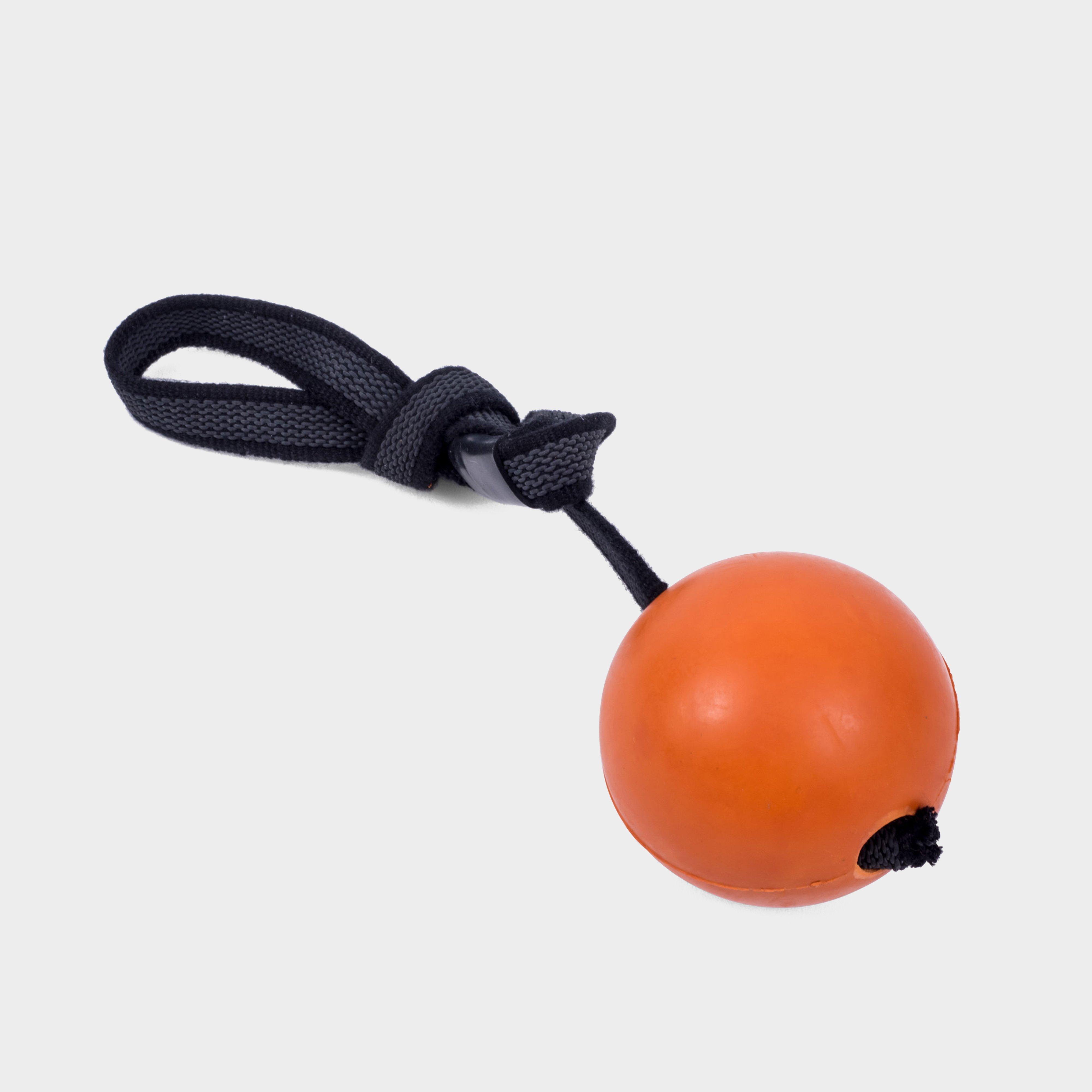
Petface Seriously Strong Solid Rubber Rope Ball Dog Toy - Orange, Orange
This ball toy is specially strengthened, extra durable and great for interacting with your pooch. Its extra weight with the handle makes it great for throwing longer distances for a fun game of fetch and tug. It's also great for a game of tug or as a chew toy. The longevity of any pet toy will be dependent...
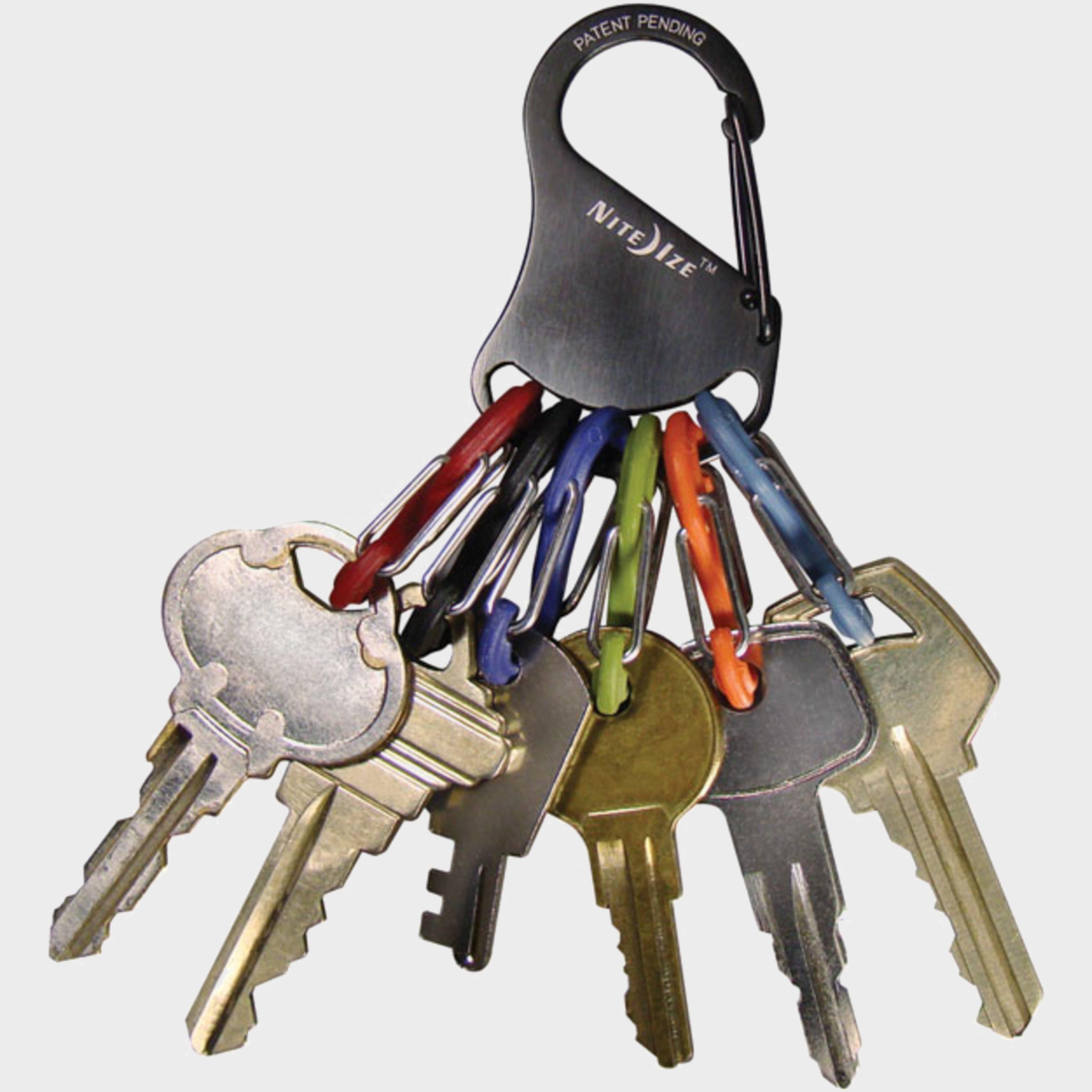
Niteize S-Biner Keyrack - Silver, Silver
A keyring that allows you to interchange keys with ease.Functional and compact, this secure keyring alternative keeps your keys safe and easy to switch out thanks to the six S-Biner attachments. The S-Biners are also colour coded to help you identify your keys quickly. Thanks to the easy-to-remove design,...
Petface Cherry Bakewell Latex Toy - Multi, Multi
The Petface Cherry Bakewell Latex Dog Toy has a cute smiley face and a built-in squeaker. Perfect for playful dogs. Great for your pet's interactive playing and training. Cute, strong and durable. Hours of playtime and enjoyment - spoil your dog today with a treat they cannot resist!_· Natural...
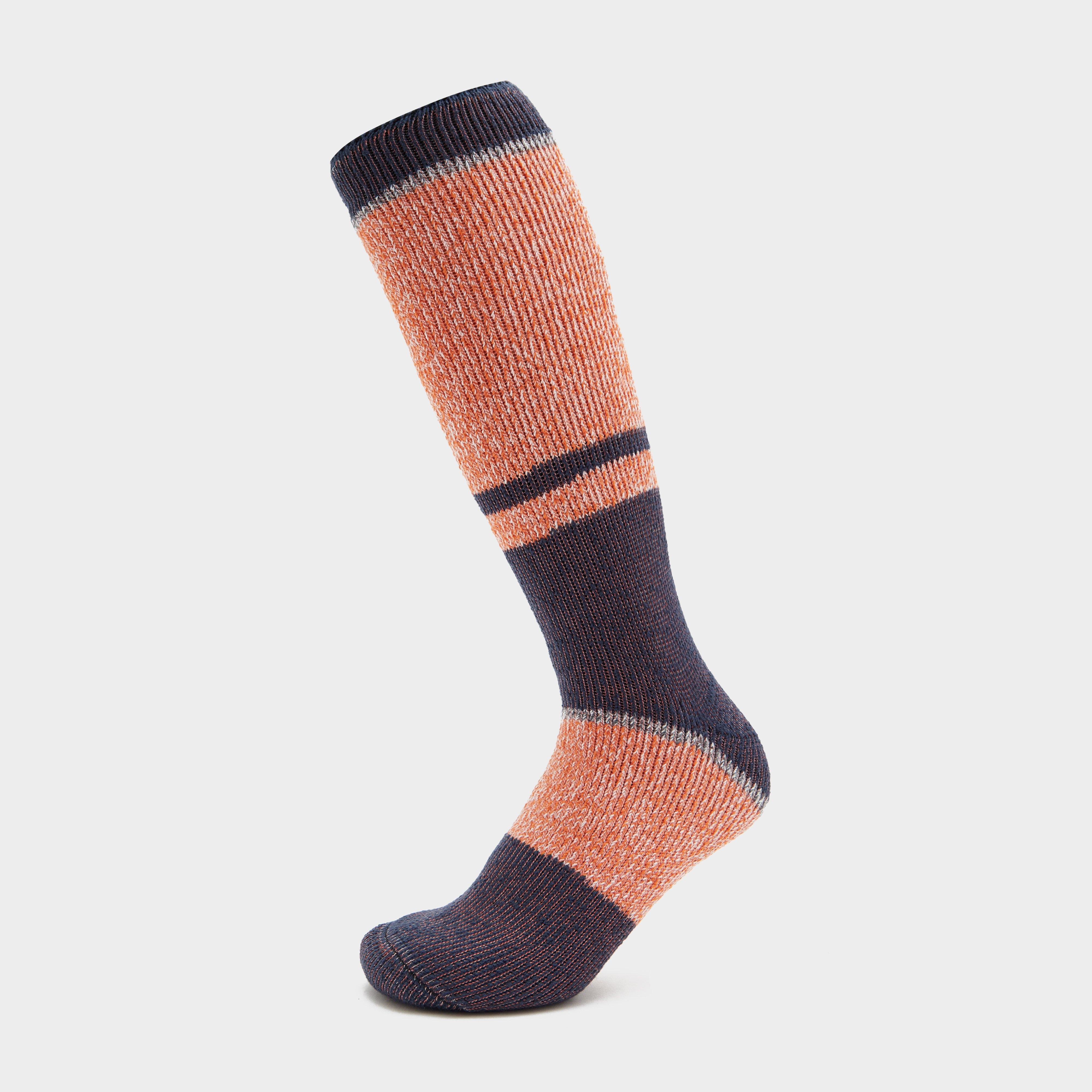
Peter Storm Men's Thermal Heat Trap Ski Socks - Orange, Orange
Designed for ultimate warmth on chilly days, these socks feature advanced thermal technology to keep your feet toasty in the snow. The long pile lining provides super soft cushioning, ensuring your feet are comfortable at all times. Tailored for a comfort fit and with a longer length for extra coverage,...
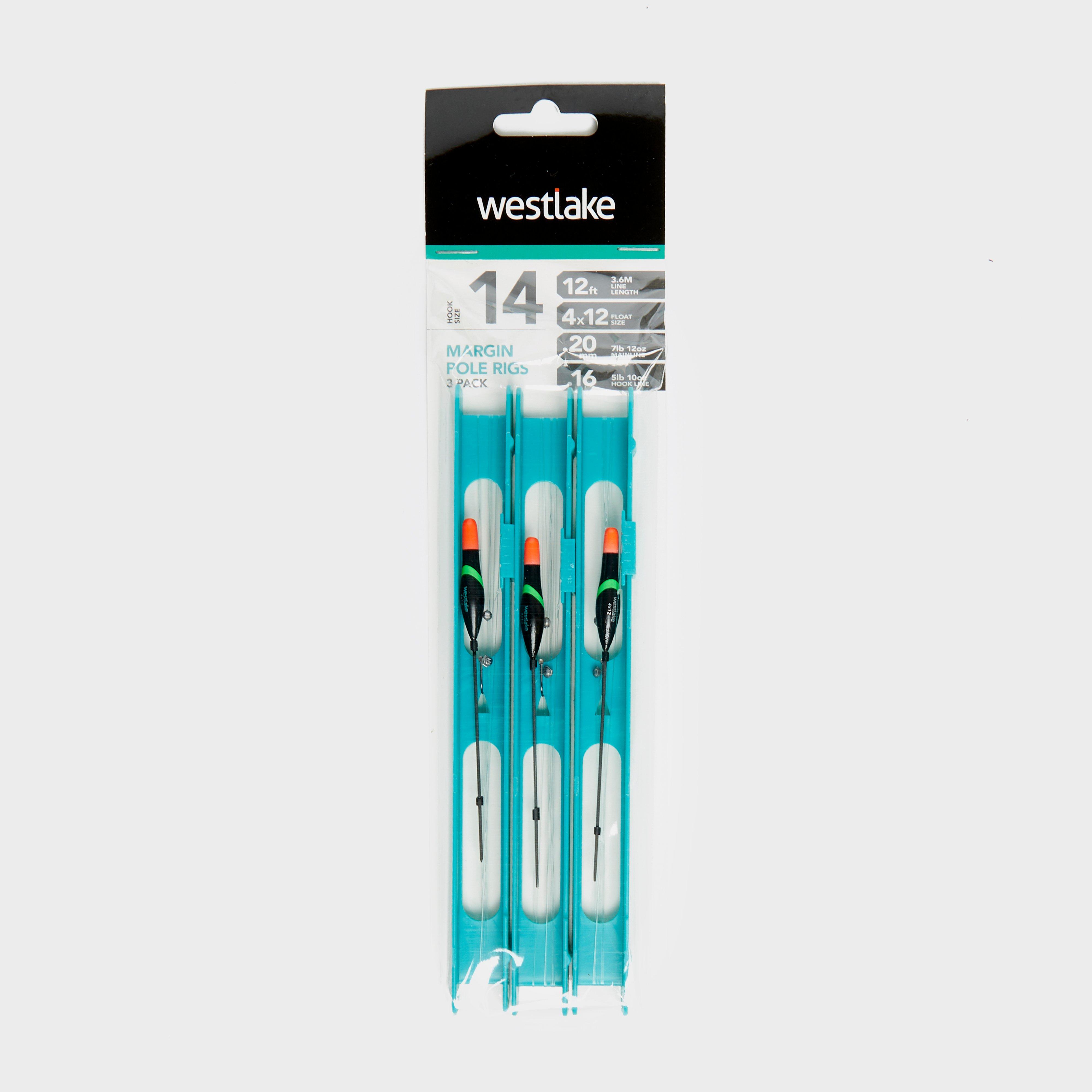
Westlake 3Pcs Pole Rig Pack Margin - Black, Black
Coming in as three readymade rigs, Westlake's Margin Pole Rigs are constructed from top-quality floats, lines and hooks. Presented on a tackle-box-friendly winder system, these pole rigs incorporate a sliding line lock that allows you to store the rig time and time again.Best suited to margin carp fishing...
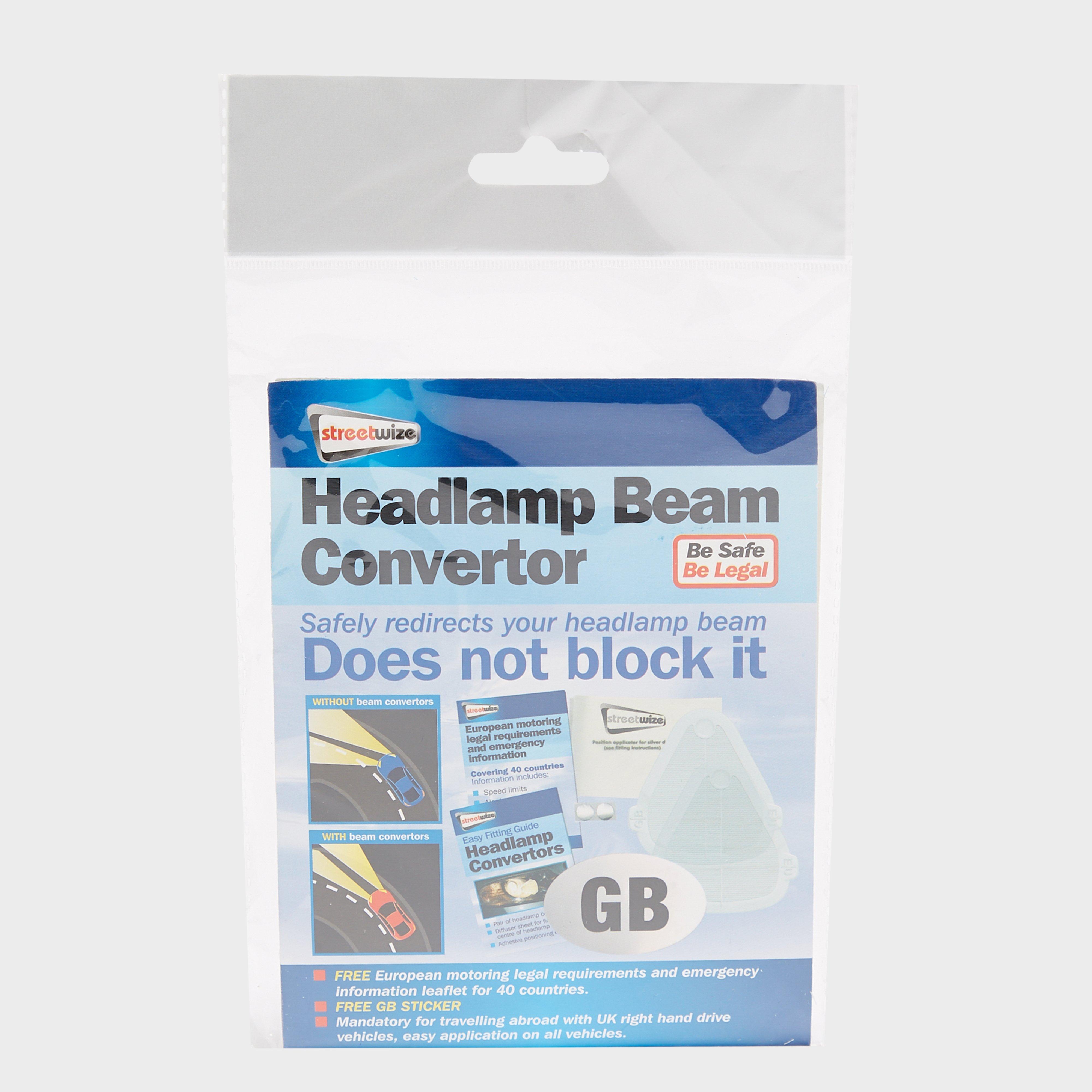
Streetwize Headlight Beam Converter Kit - Blue, Blue
Safely redirects your headlight's beam for driving on the right hand side of the road internationallyMandatory for driving in EuropeEasy to add to any vehicleUniversal fitIncludes: GB sticker and European motoring legal requirements and emergency information leaflet for 40 countries
Peter Storm Essentials Kids' Walking Socks 2 Pack - Charcoal, Charcoal
Mid-length socks (crew length)Pack of two pairsElasticatedPadded soleAlmost seamless to prevent irritation and rubbingMaterial: 85% Spun polyester, 13% Polyester, 2% SpandexColour: CharcoalXXS: UK Junior 11 - 13XS: UK Junior 1 - 3S: UK Junior 3 - 5_
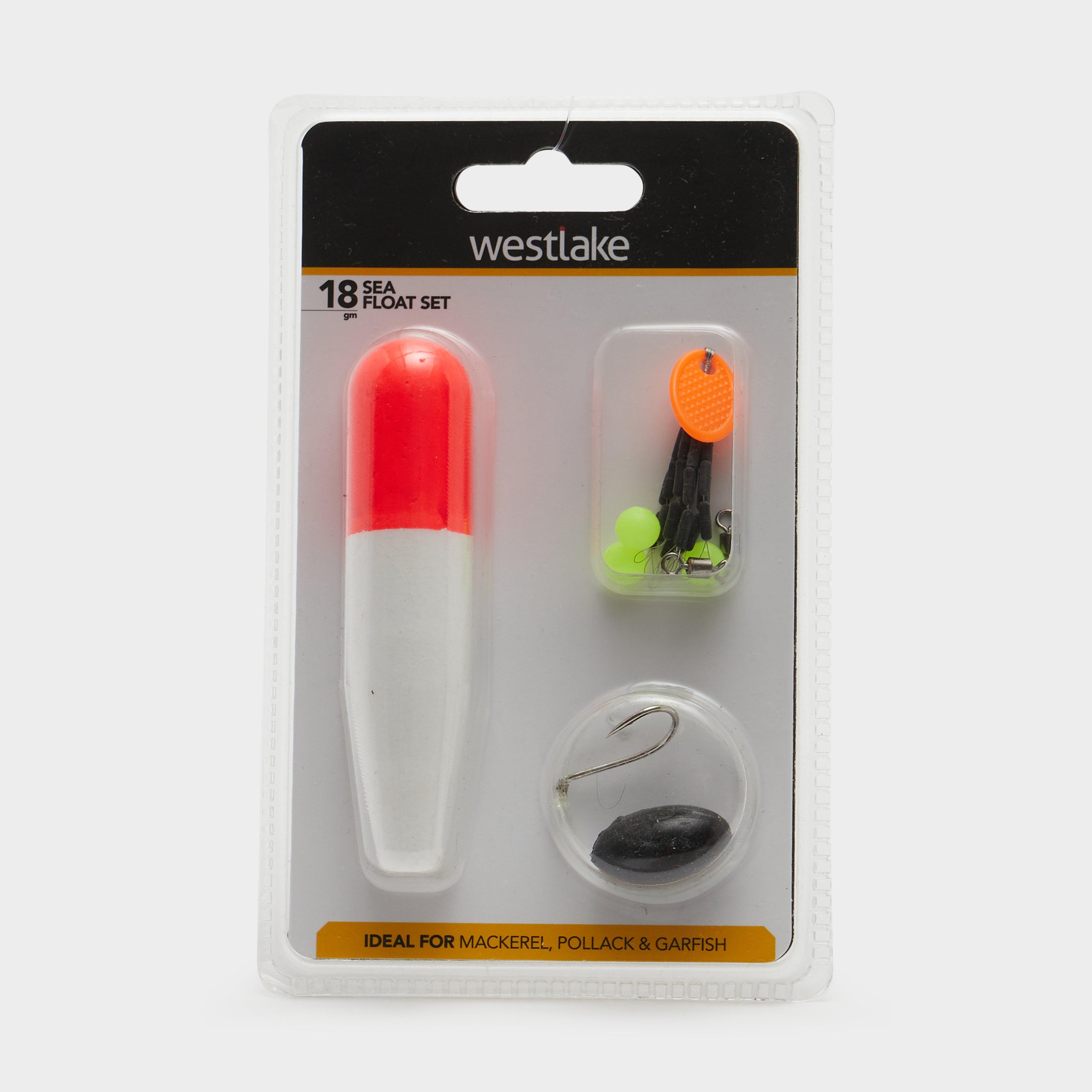
Westlake 18G Sea Float Kit - Orange, Orange
Coming in a 18g size, the Westlake Sea Float Set has been carefully crafted to include everything you need for a fantastic family day at the beach.Contains:Cigar style sea floatIn-line weight1/0 Baitholder hooksBeadsFloat stopsSize: 18g

