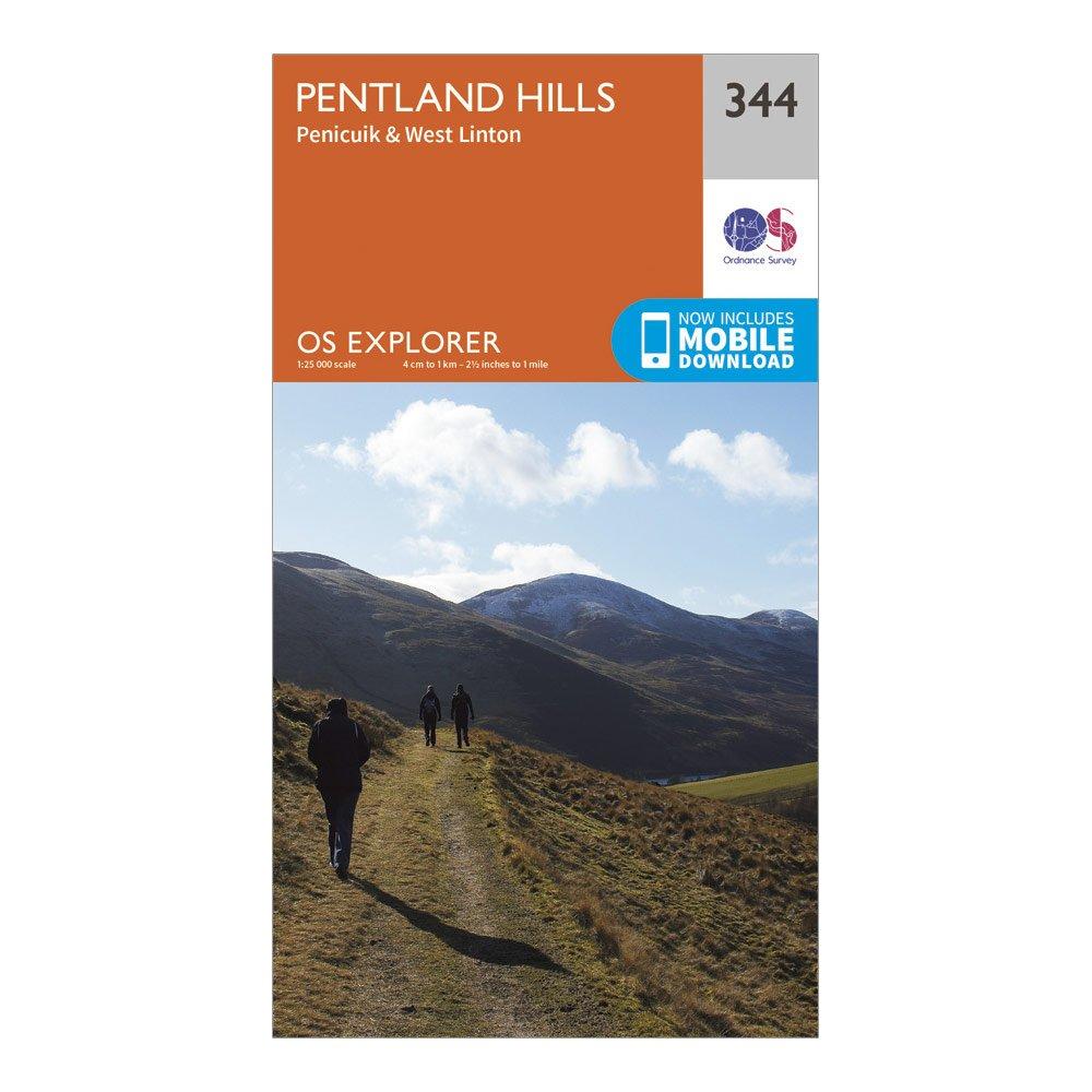
Ordnance Survey Explorer 344 Pentland Hills Map With Digital Version, D
Providing complete GB coverage, the OS Explorer map series details information essential in the great outdoors, including youth hostels, pubs and visitor information. Rights of way, fences, permissive paths and bridleways are clearly shown, ensuring you have the best information to get the most out of...
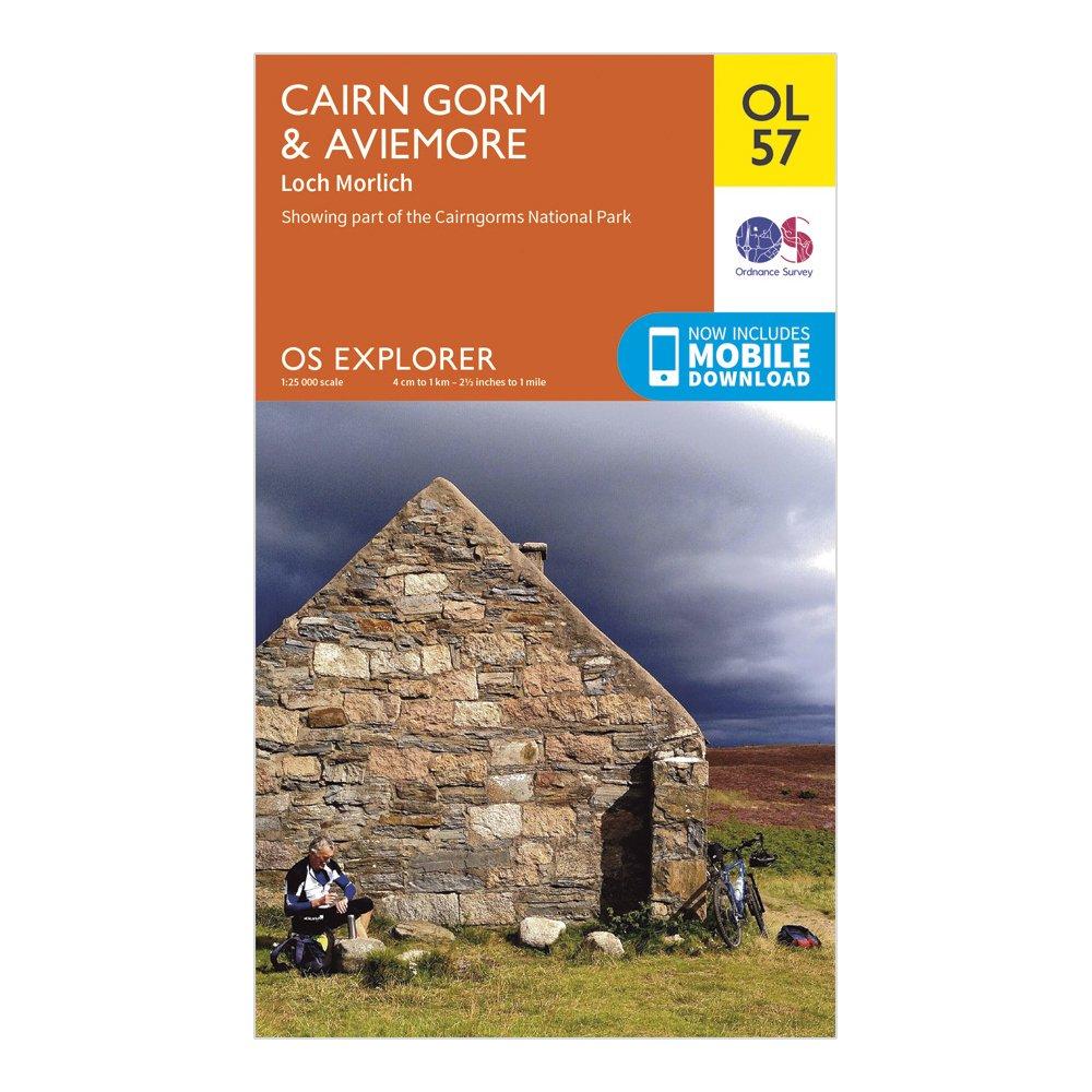
Ordnance Survey Explorer Ol 57 Cairn Gorm & Aviemore Map, D
FeaturesCairngorms National ParkBadenoch WaySpeyside Way (Long Distance Route)HighlandGrampian1:25 000 scale (4 cm to 1 km - 2.5 inches to 1 mile) This map comes with a digital version which you can download to your smartphone or tablet.
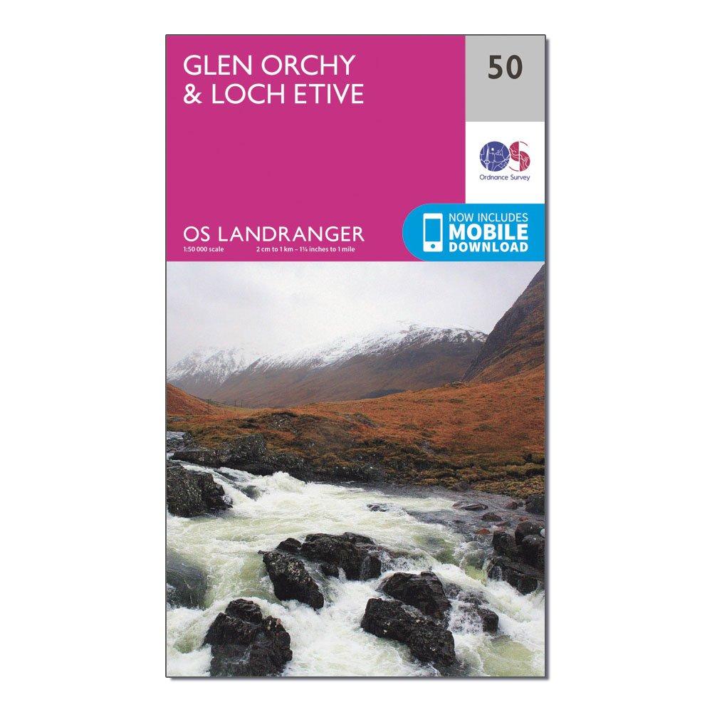
Ordnance Survey Landranger 50 Glen Orchy & Loch Etive Map With Digital Version - Pink, Pink
This map comes with a digital version which you can download to your smartphone or tablet.Go to OS.uk/redeem for more details (terms and conditions apply).Scratch off the panel on the inside cover of the map to reveal a code, you are then just three easy steps away from downloading your digital map.If...
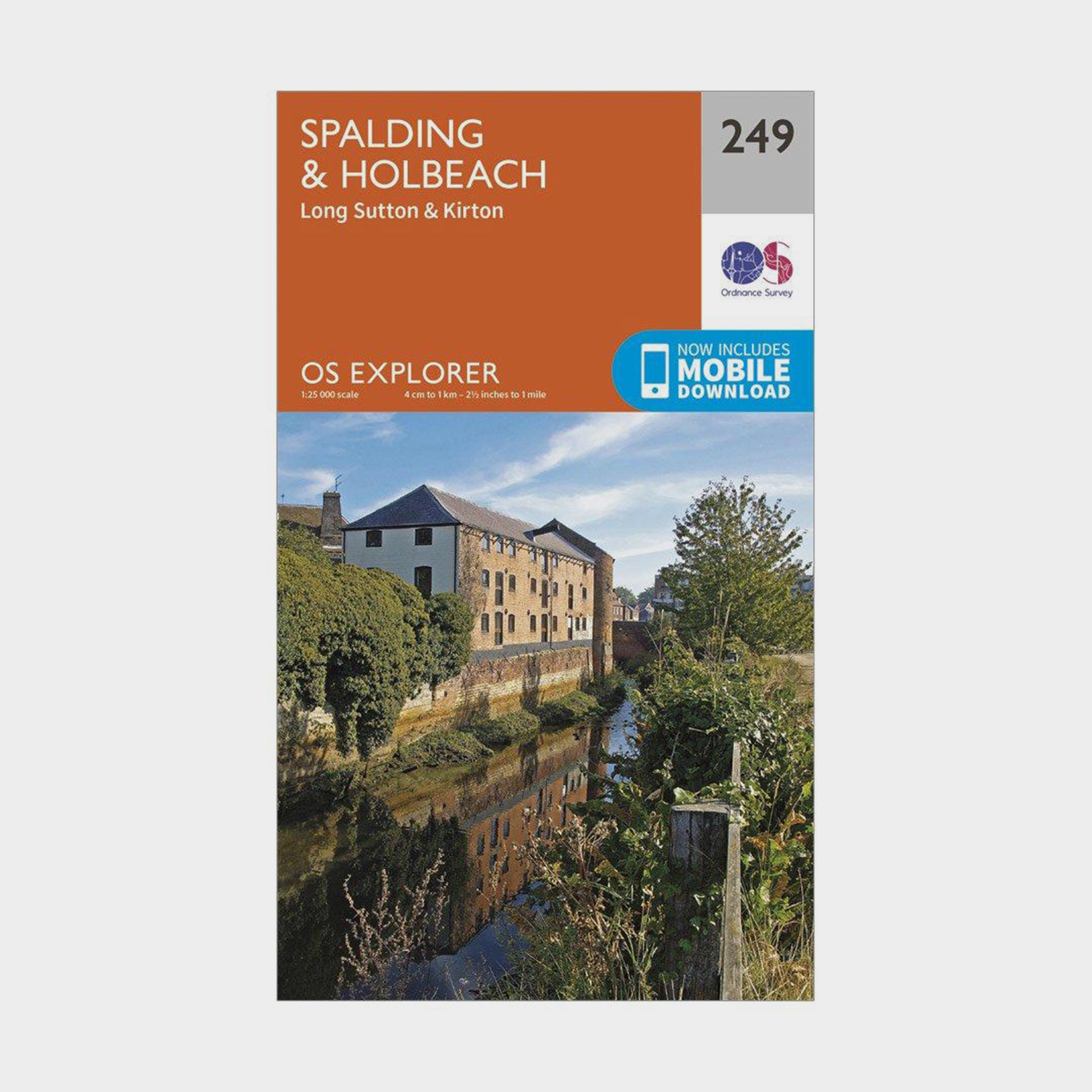
Ordnance Survey Explorer 249 Spalding & Holbeach Map With Digital Version - Orange, Orange
Providing complete GB coverage, the OS Explorer map series details information essential in the great outdoors, including youth hostels, pubs and visitor information. Rights of way, fences, permissive paths and bridleways are clearly shown, ensuring you have the best information to get the most out of...
This map comes with a digital version which you can download to your smartphone or tablet.Go to OS.uk/redeem for more details (terms and conditions apply).Scratch off the panel on the inside cover of the map to reveal a code, you are then just three easy steps away from downloading your digital map.If...
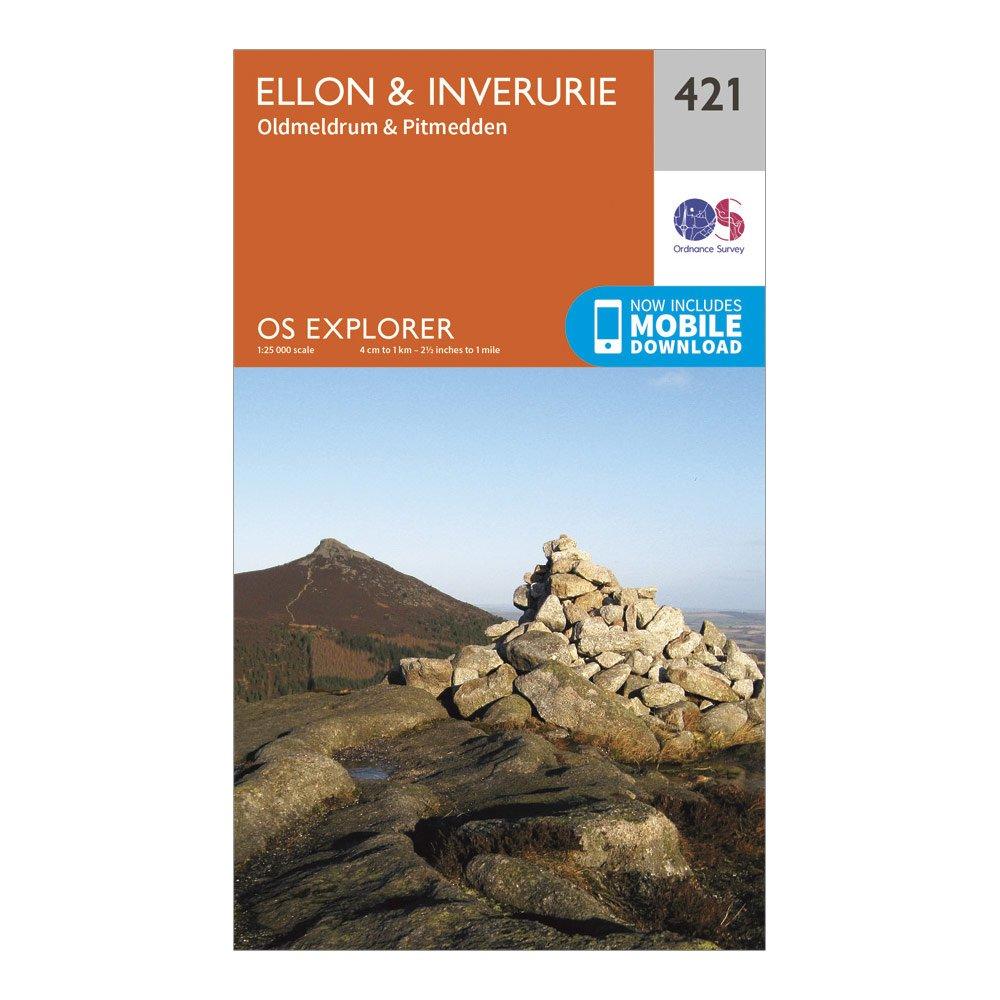
Ordnance Survey Explorer 421 Ellon & Inverurie Map With Digital Version - Orange, Orange
Providing complete GB coverage, the OS Explorer map series details information essential in the great outdoors, including youth hostels, pubs and visitor information. Rights of way, fences, permissive paths and bridleways are clearly shown, ensuring you have the best information to get the most out of...
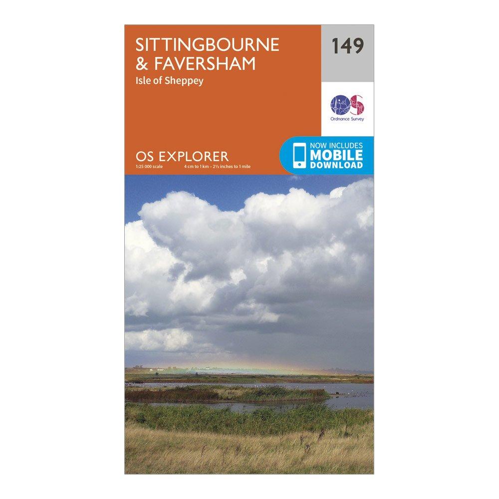
Ordnance Survey Explorer 149 Sittingbourne & Faversham Map With Digital Version - Orange, Orange
Providing complete GB coverage, the OS Explorer map series details information essential in the great outdoors, including youth hostels, pubs and visitor information. Rights of way, fences, permissive paths and bridleways are clearly shown, ensuring you have the best information to get the most out of...
This map comes with a digital version which you can download to your smartphone or tablet.Go to OS.uk/redeem for more details (terms and conditions apply).Scratch off the panel on the inside cover of the map to reveal a code, you are then just three easy steps away from downloading your digital map.If...
Providing complete GB coverage, the OS Explorer map series details information essential in the great outdoors, including youth hostels, pubs and visitor information. Rights of way, fences, permissive paths and bridleways are clearly shown, ensuring you have the best information to get the most out of...
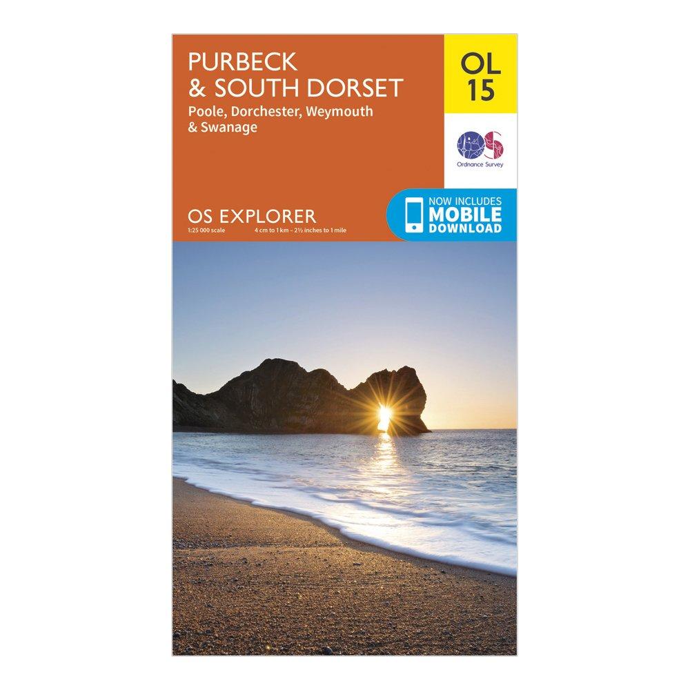
Ordnance Survey Explorer Ol 15 Purbeck And South Dorset - Orange, Orange
FeaturesDetailed and easy to read map from Ordnance SurveyScale: 1:25,000Includes mobile download of map for use on your smartphoneShows tourist information points, popular sites, viewpoints, places of interest and rights of way information
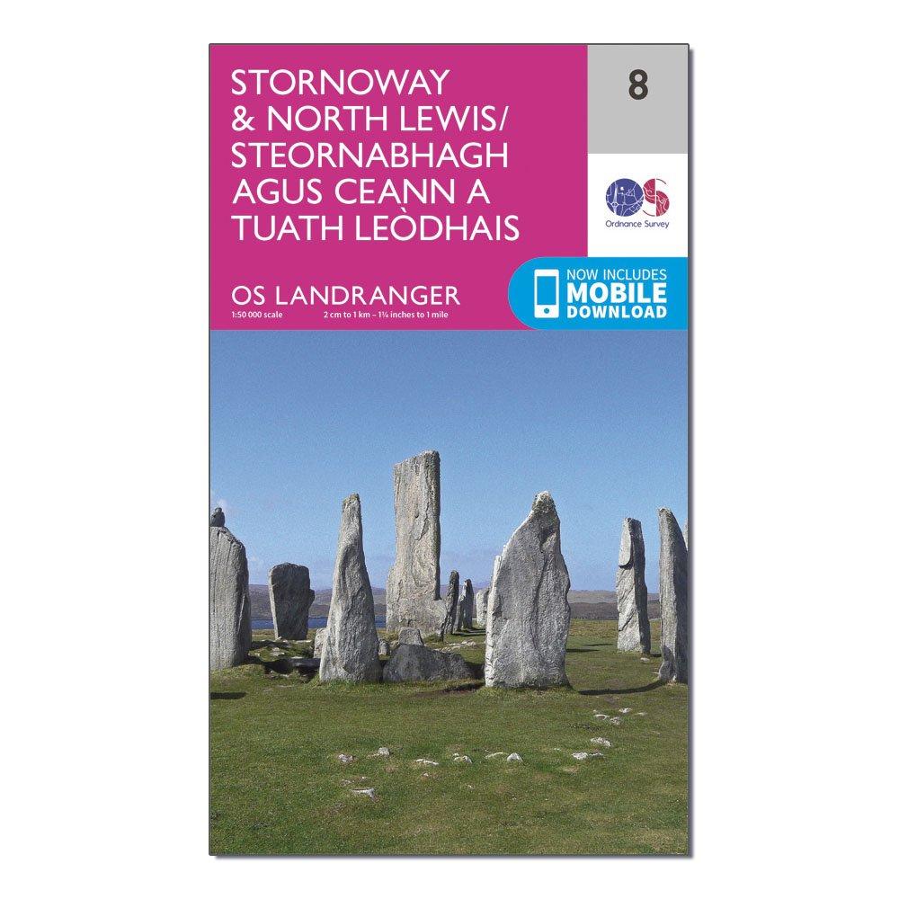
Ordnance Survey Landranger 8 Stornaway & North Lewis Map With Digital Version, D
This map comes with a digital version which you can download to your smartphone or tablet.Go to OS.uk/redeem for more details (terms and conditions apply).Scratch off the panel on the inside cover of the map to reveal a code, you are then just three easy steps away from downloading your digital map.If...
Providing complete GB coverage, the OS Explorer map series details information essential in the great outdoors, including youth hostels, pubs and visitor information. Rights of way, fences, permissive paths and bridleways are clearly shown, ensuring you have the best information to get the most out of...
This map comes with a digital version which you can download to your smartphone or tablet.Go to OS.uk/redeem for more details (terms and conditions apply).Scratch off the panel on the inside cover of the map to reveal a code, you are then just three easy steps away from downloading your digital map.If...
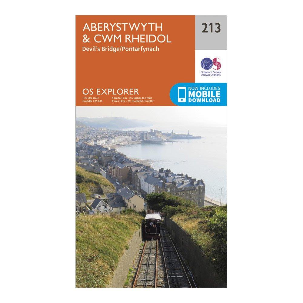
Ordnance Survey Explorer 213 Aberystwyth & Cwn Rheidol Map With Digital Version - Orange, Orange
Providing complete GB coverage, the OS Explorer map series details information essential in the great outdoors, including youth hostels, pubs and visitor information. Rights of way, fences, permissive paths and bridleways are clearly shown, ensuring you have the best information to get the most out of...
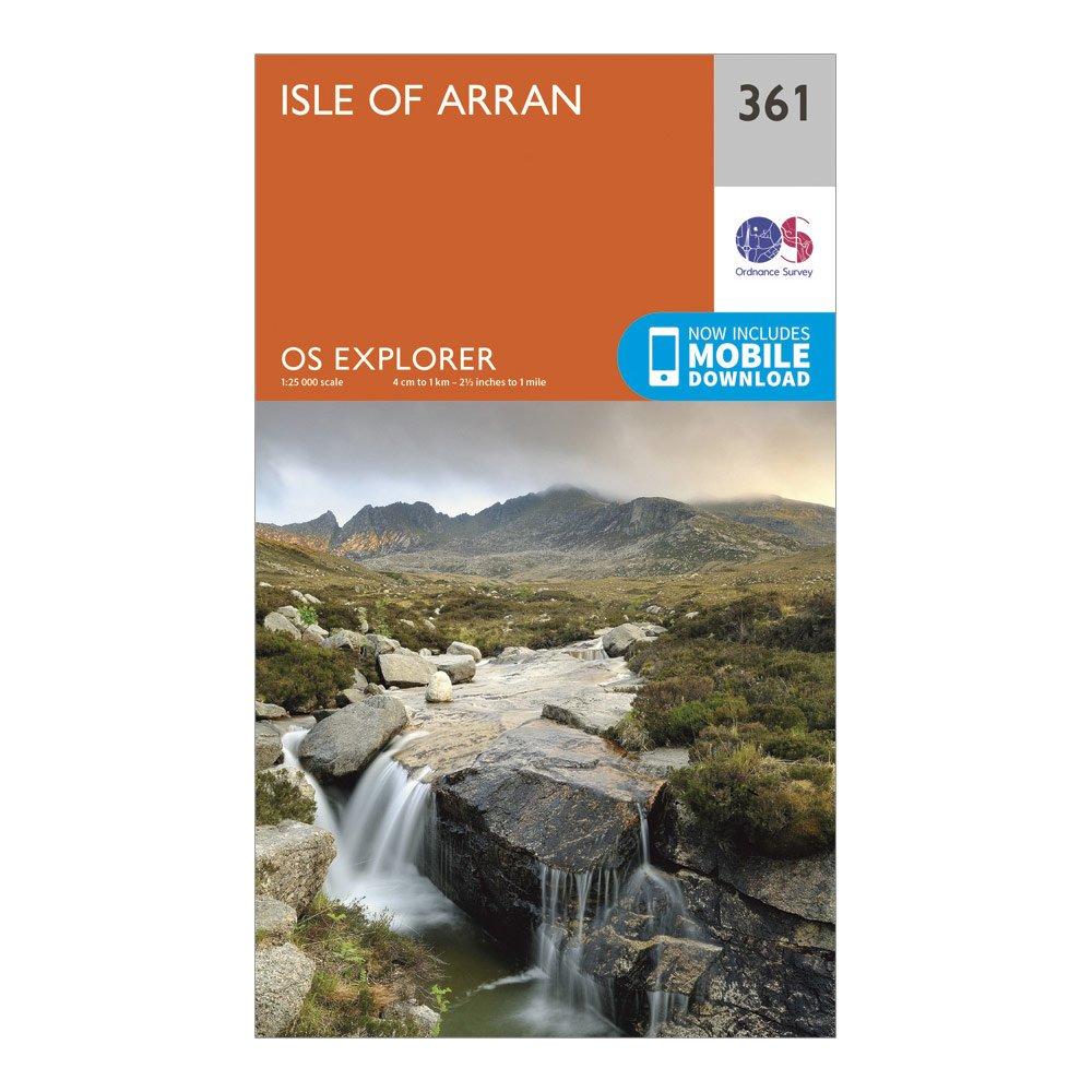
Ordnance Survey Explorer 361 Isle Of Arran Map With Digital Version, D
Providing complete GB coverage, the OS Explorer map series details information essential in the great outdoors, including youth hostels, pubs and visitor information. Rights of way, fences, permissive paths and bridleways are clearly shown, ensuring you have the best information to get the most out of...

