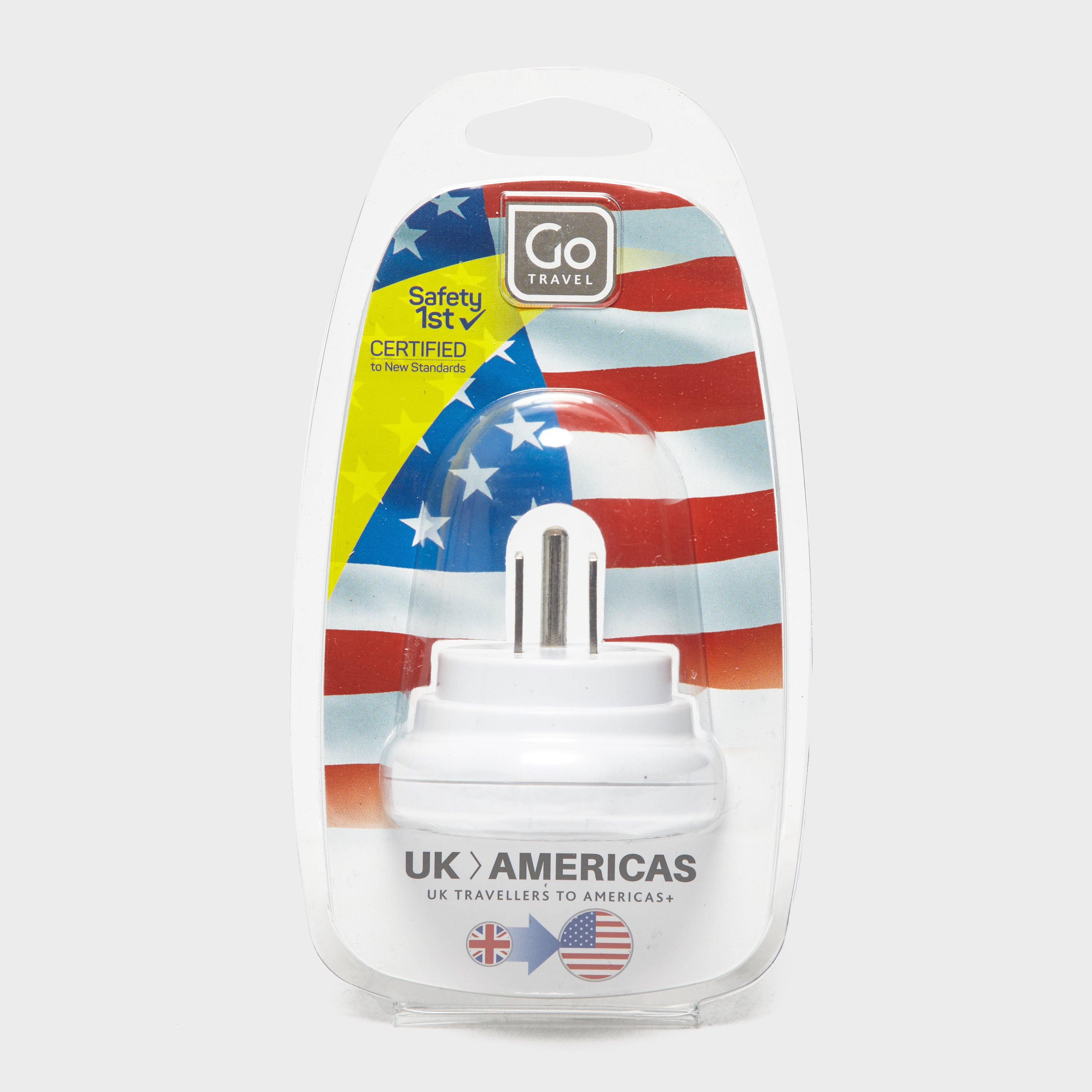
Go Travel Uk-Usa Adaptor, ADAPTOR
UK to U.S. adaptor Certified to new standardsSuitable for all U.S.A socketsCompatible with all U.K. appliancesSafe and simple to useRecommended activity - travel
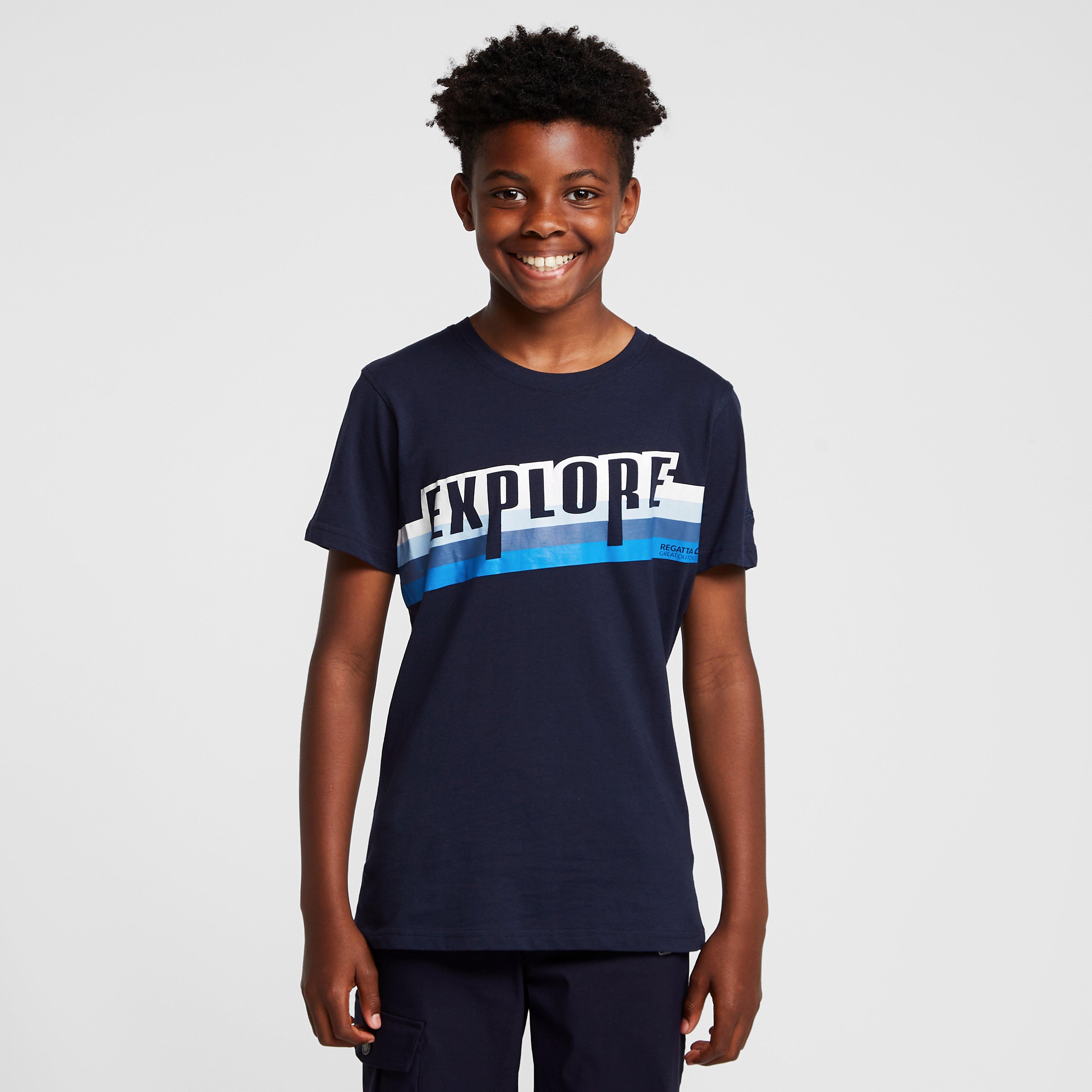
Regatta Kids' Bosley V T-Shirt Navy Explore, T-SHIRT
Coolweave cottonRegatta design across the frontPerfect to pair with shorts and sandals
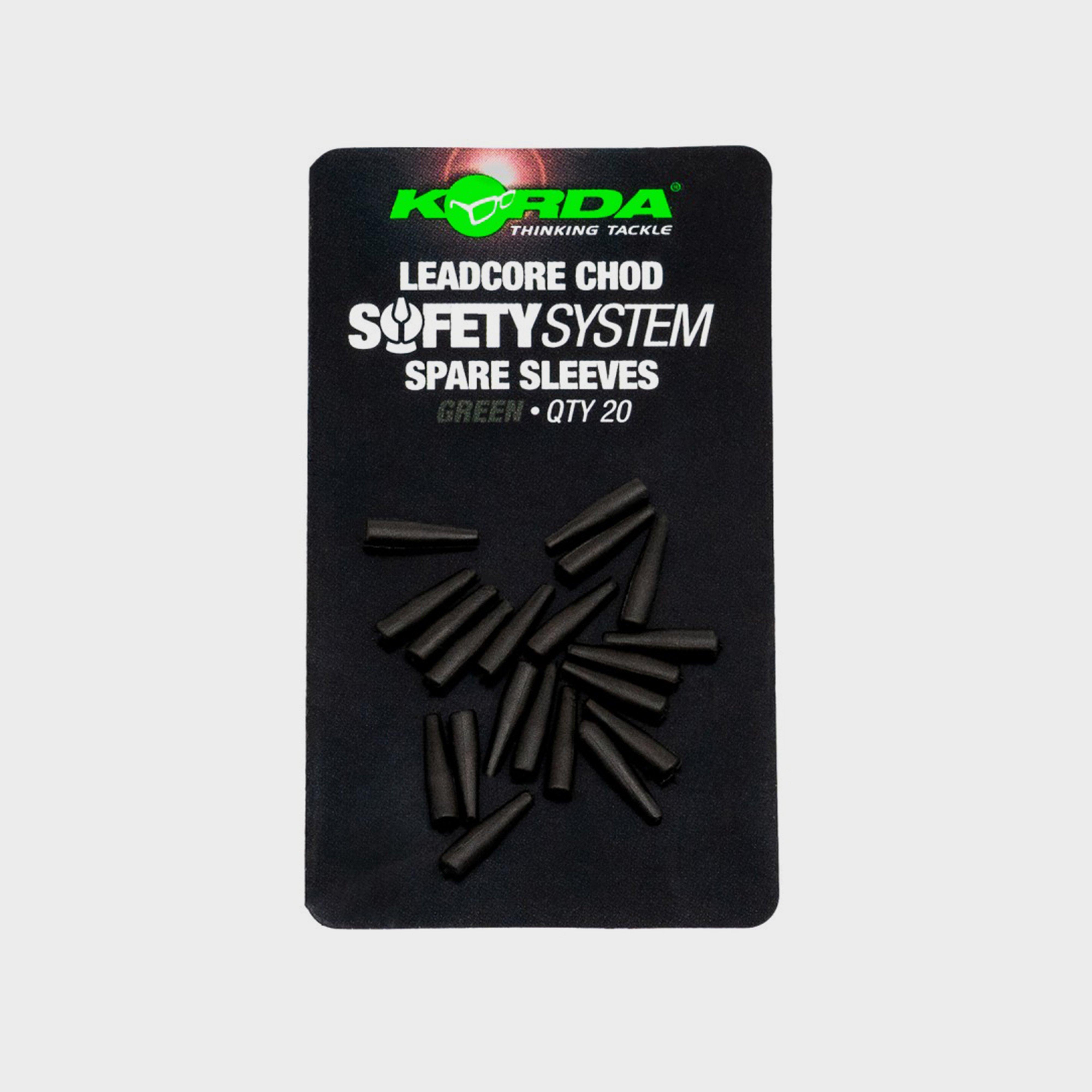
Korda Leadcore Chod Sleeve Safety System - Sleeves, SLEEVES
The full No-Trace System (sold separately) offers a completely safe setup for use with lead core and similar diameter leader materials, including the fused Dark Matter range. Designed to ensure that if your main line breaks above the leader knot, the hook link will easily detach, leaving only the hook...
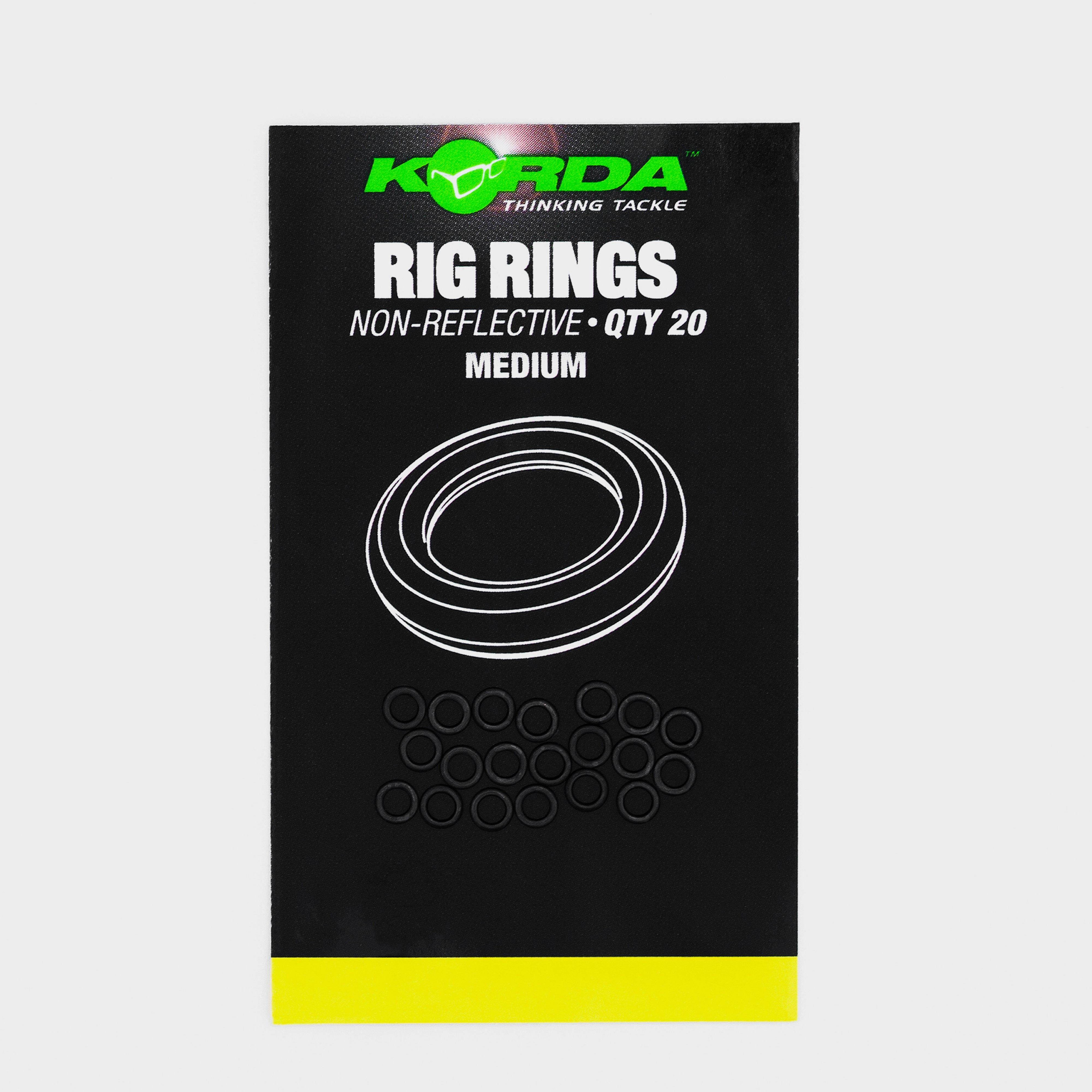
Please note due to Amazon picture sharing policy the image displayed may not have been published by Specialist Tackle. These Korda Rig Rings have been specifically designed to help the angler create a variety of different rigs.Style code: KRRM
Korda Sinker Tungsten H W Lrg Grn, L
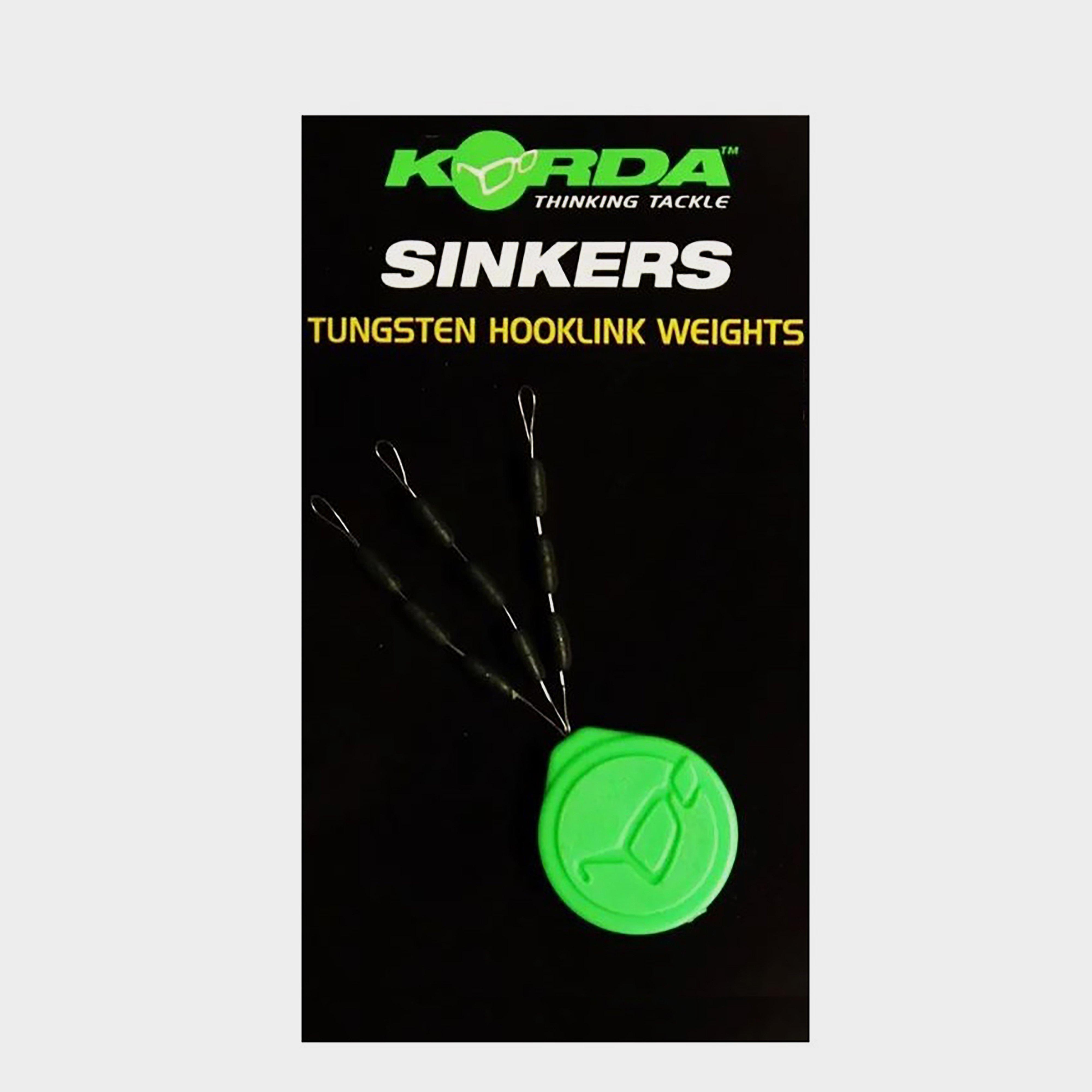
Sinkers are a revolutionary rig tuning component that keeps the hooklink nailed hard to the bottom out of the way of feeding fish.Style code: KSKLG
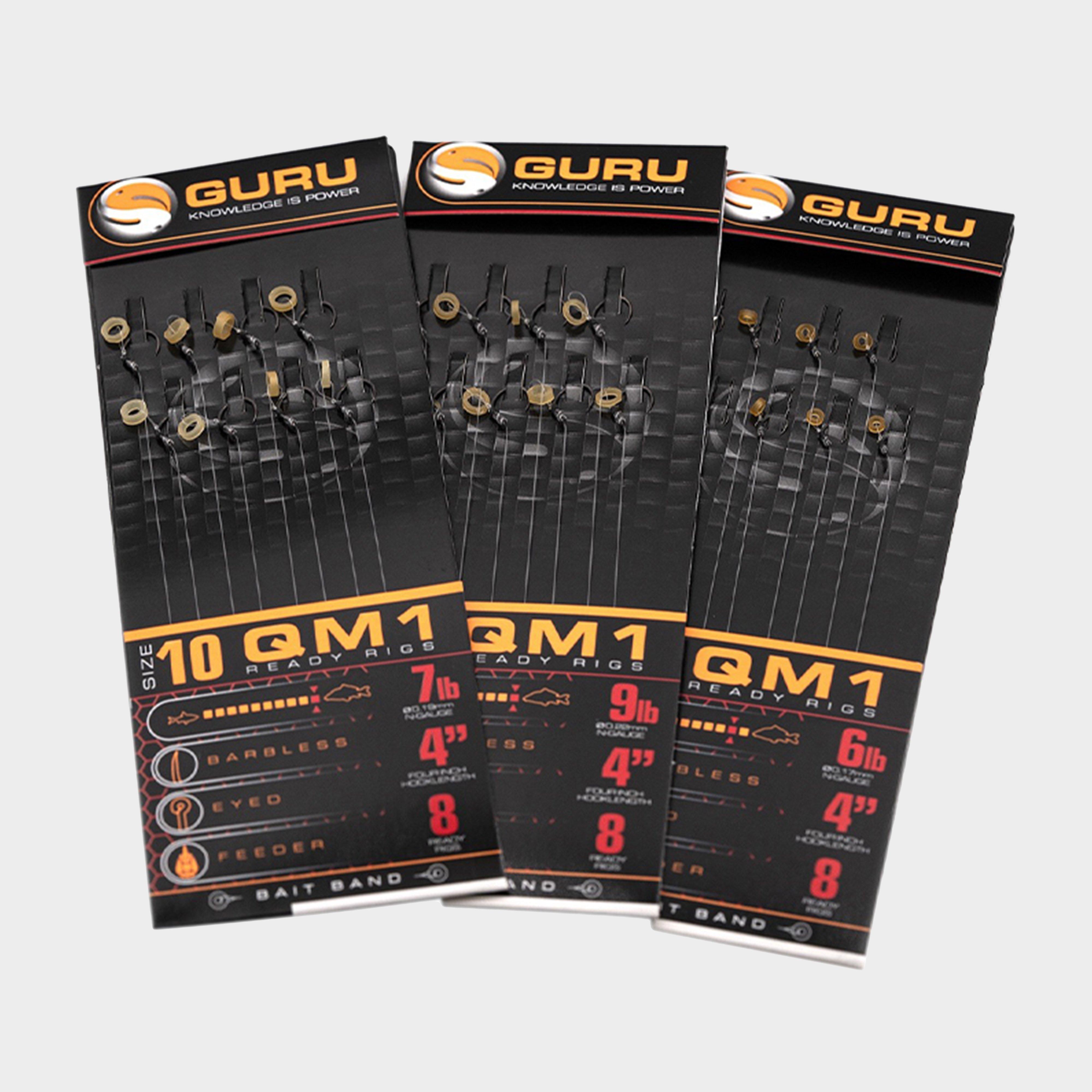
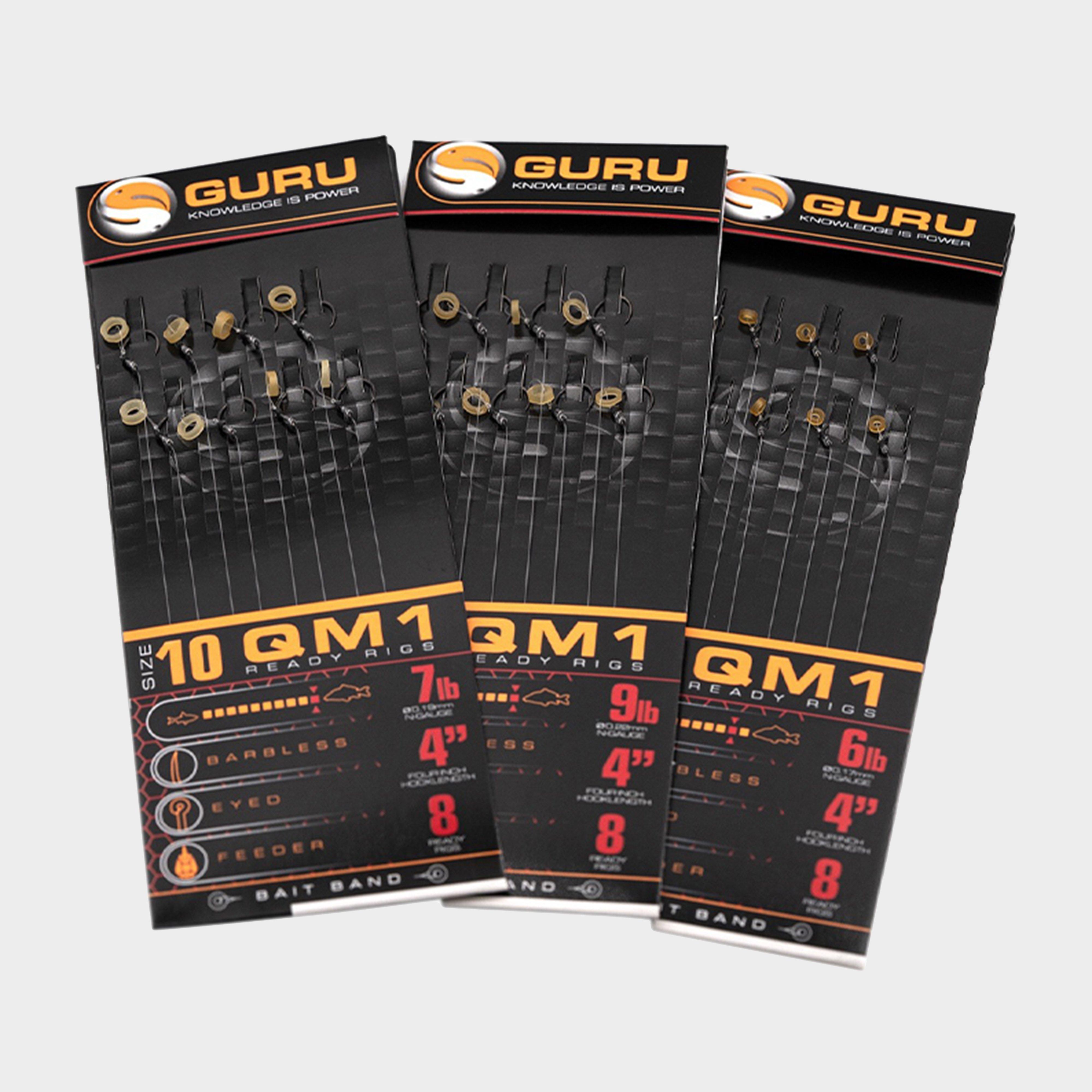
Guru Qm1 Bait Band Fishing Ready Rig 4 Inch - No Colour, No Colour
Guru's QM1 Bait Band Ready Fishing Rigs are the perfect choice for method feeder fishing. Each rig features Guru's renowned barbless QM1 PTFE-coated hook with a sharp, beaked point for secure hooking, tied to their trusted N-Gauge nylon for unbeatable strength and reliability. Now enhanced with a micro...
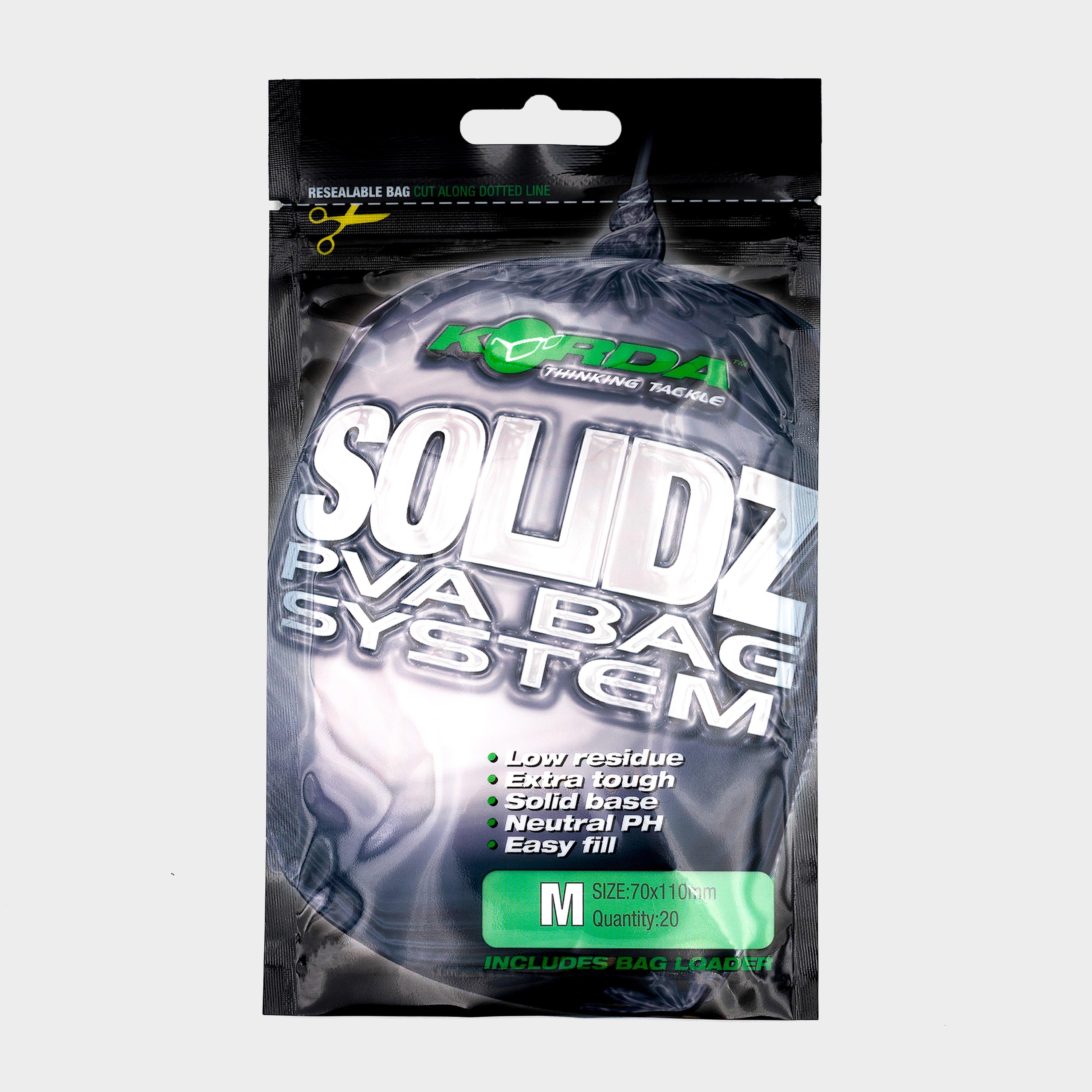
Korda Medium Solidz Pva Bags, BAG
Please note due to Amazon picture sharing policy the image displayed may not have been published by Specialist Tackle. Solidz PVA bags have been designed to deliver a compact package of bait at almost any range and in any conditions. Manufactured a
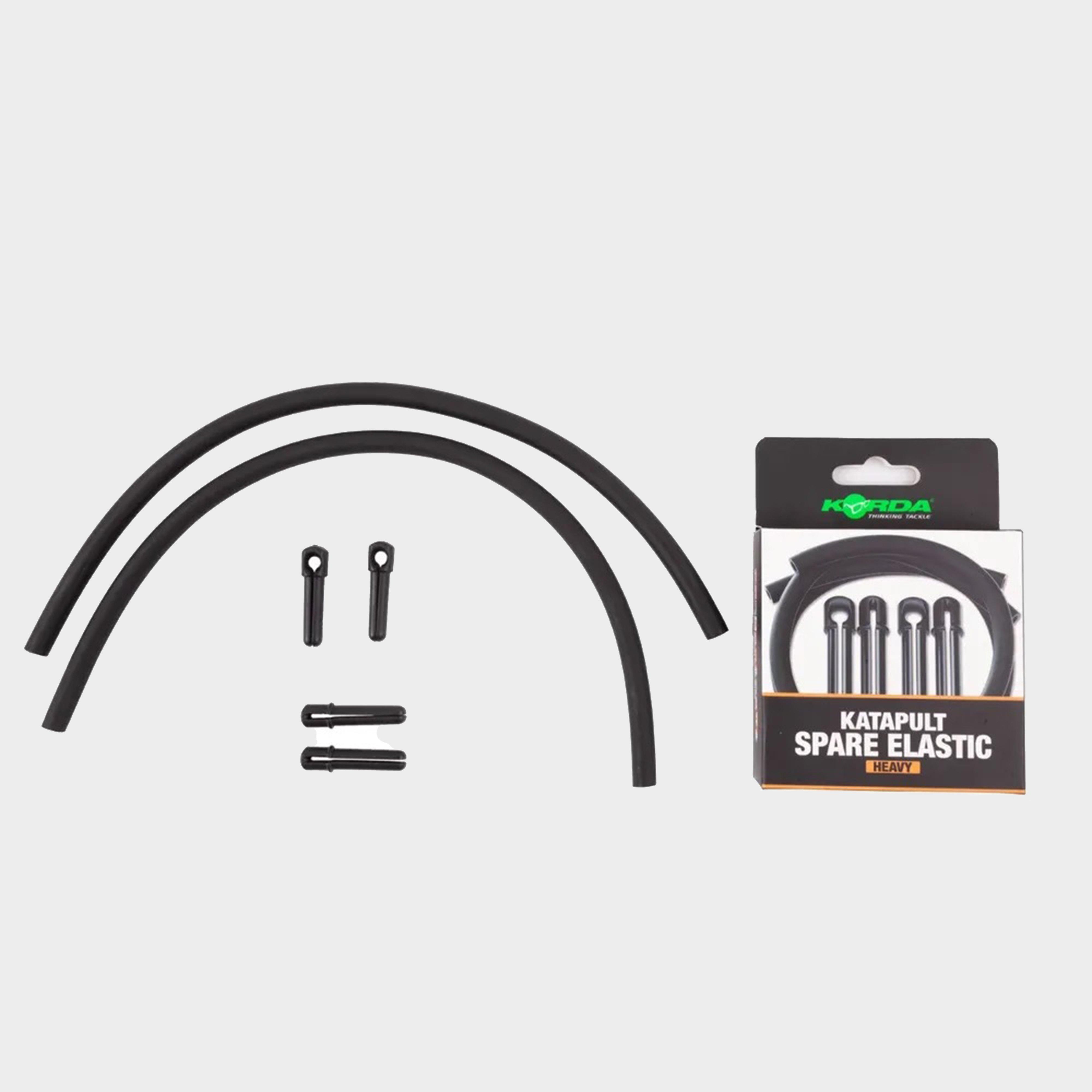
Korda Katapult Spare Elastics Heavy - No Colour, No Colour
This pack includes spare elastics in size Heavy for the Korda Katapults. Keep your Katapult always ready for action with these convenient replacements, perfect for enhancing your angling experience.Pack of spare elastics for the Korda KatapultsAvailable in Light, Medium and HeavySize: HeavyProduct code:...
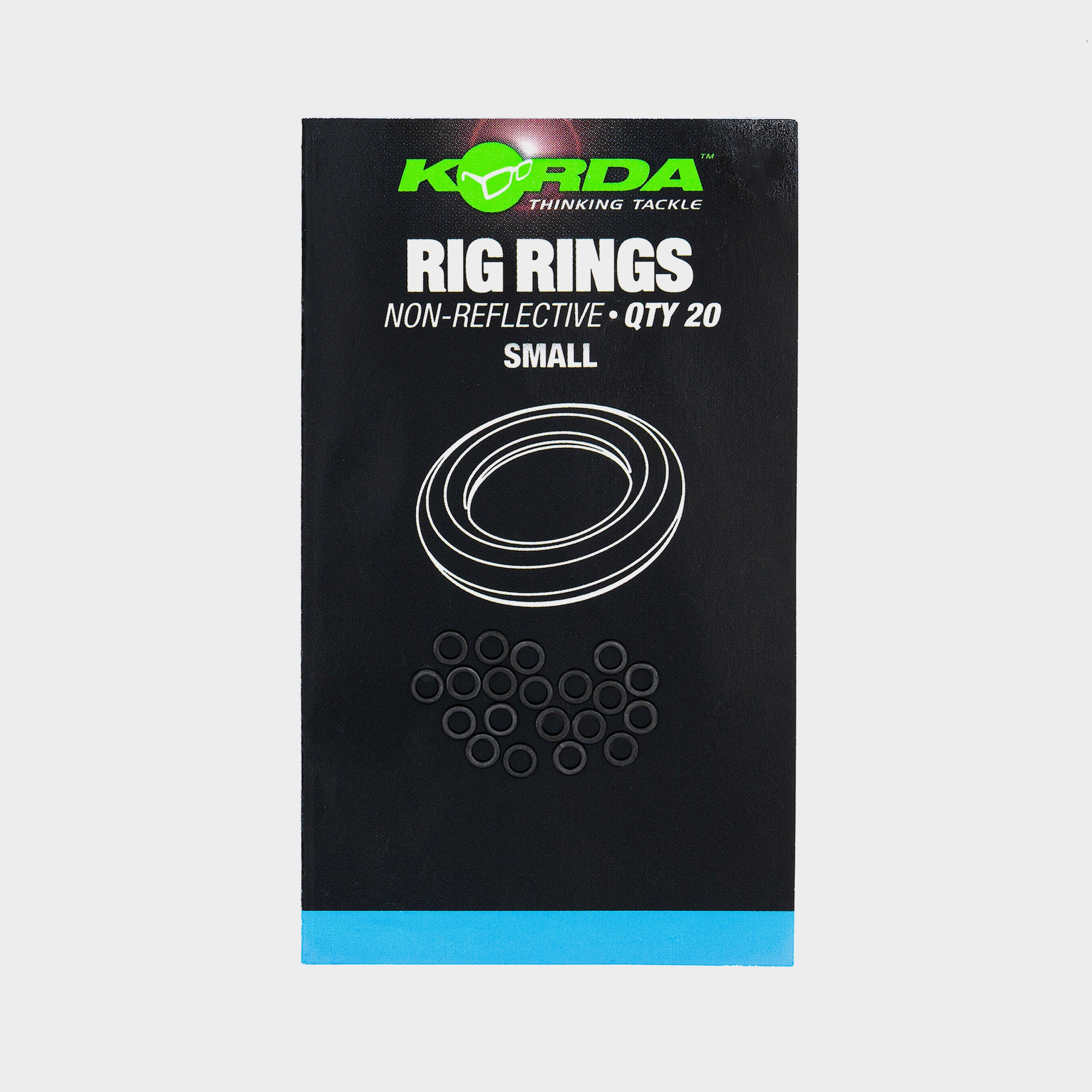
These Korda Rig Rings have been specifically designed to help the angler create a variety of different rigs.Style code: KRRS
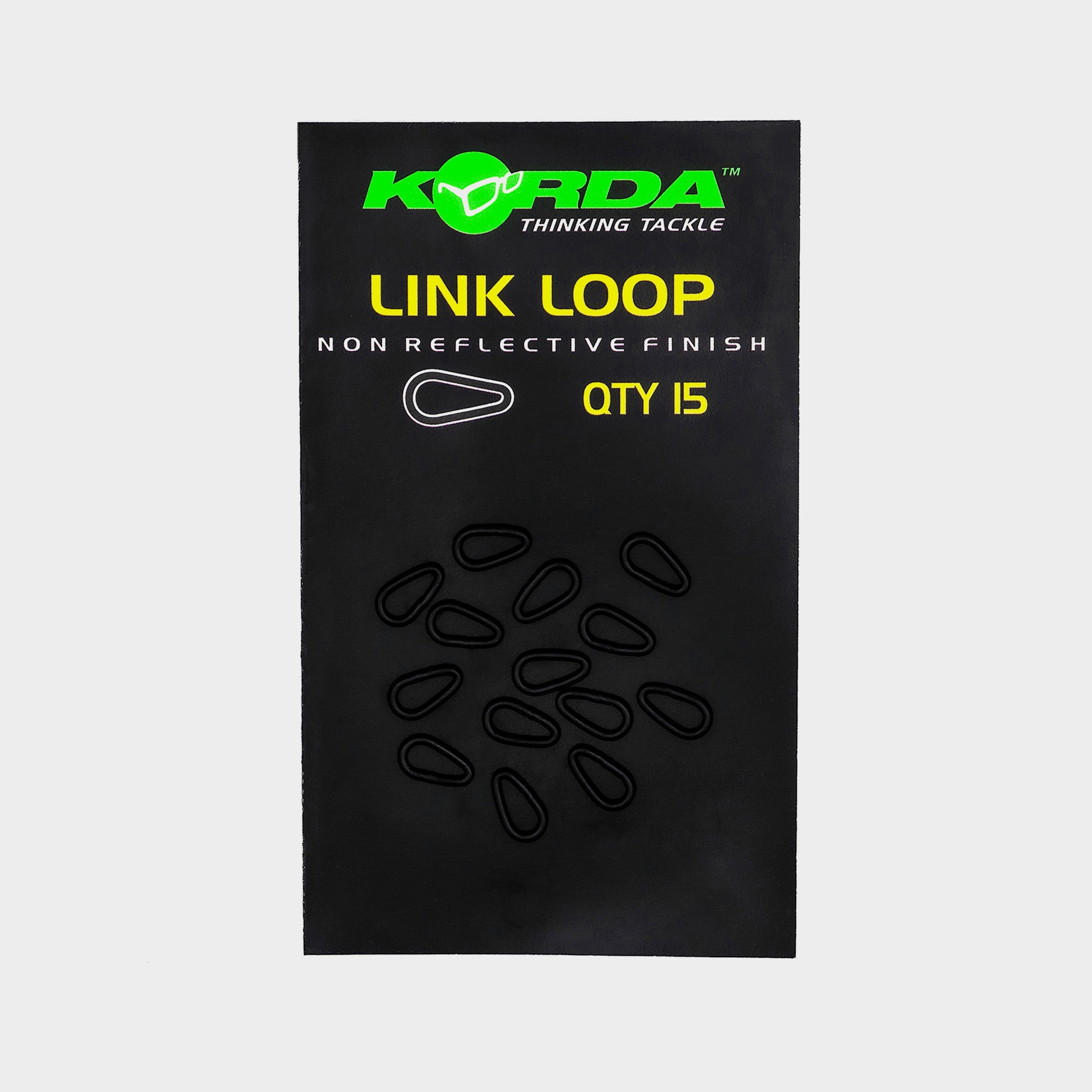
Special tear drop ring for attaching hooklinks. Pack of 15Style code: KHLL
Guru Qm1 Bait Band Fishing Ready Rig 4 Inch Size 14 - No Colour, No Colour
Guru's QM1 Bait Band Ready Fishing Rigs are the perfect choice for method feeder fishing. Each rig features Guru's renowned barbless QM1 PTFE-coated hook with a sharp, beaked point for secure hooking, tied to their trusted N-Gauge nylon for unbeatable strength and reliability. Now enhanced with a micro...
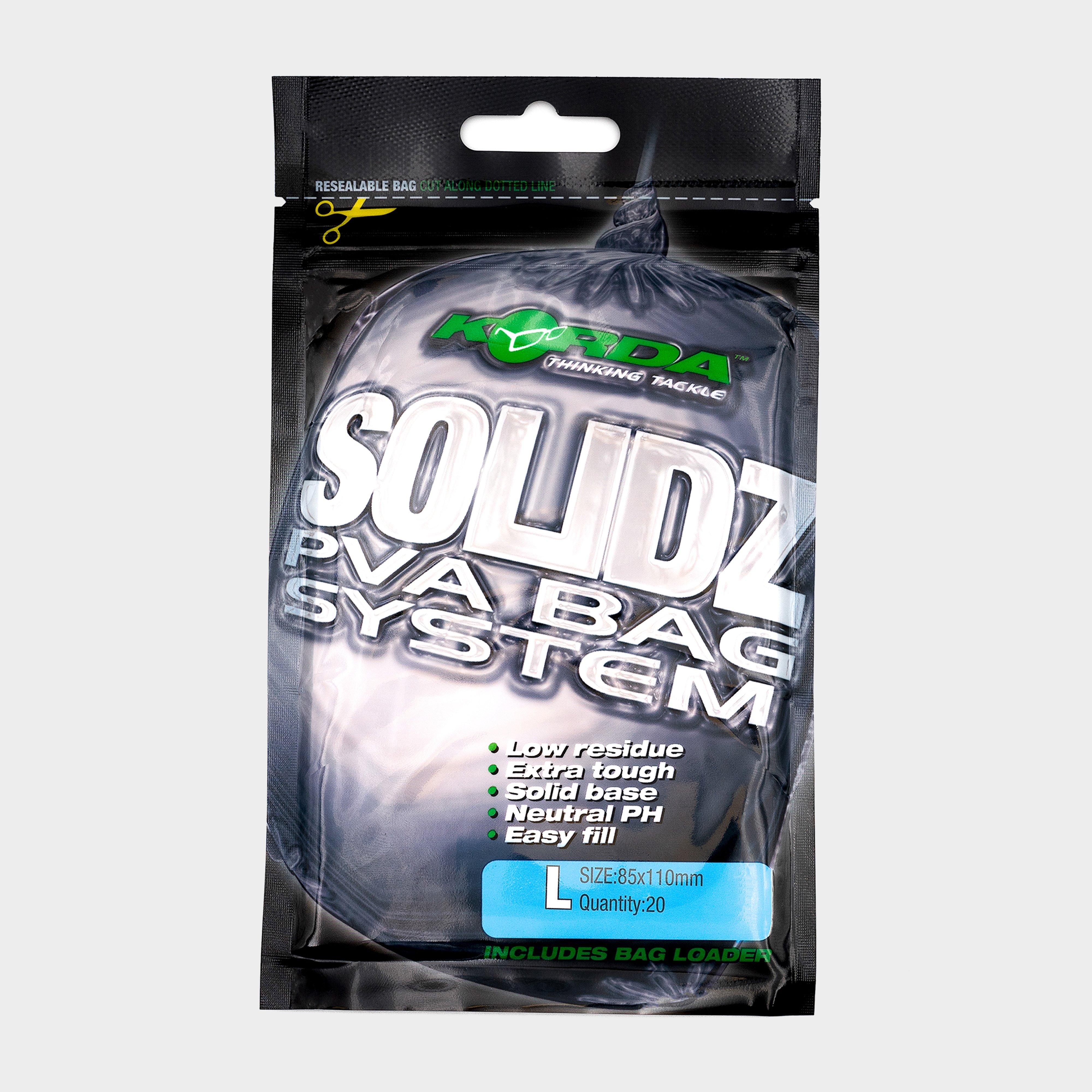
Korda Large Solidz Pva Bags, BAGS
Korda Solidz PVA BagsKorda Solidz PVA BagsTwelve years ago Korda launched the first ever PVA Funnelweb system and this product has stood the test of time. Yet again Korda have taken PVA to another level with the Solidz range of PVA bags. Korda Solidz are designed to deliver a compact package of bait...
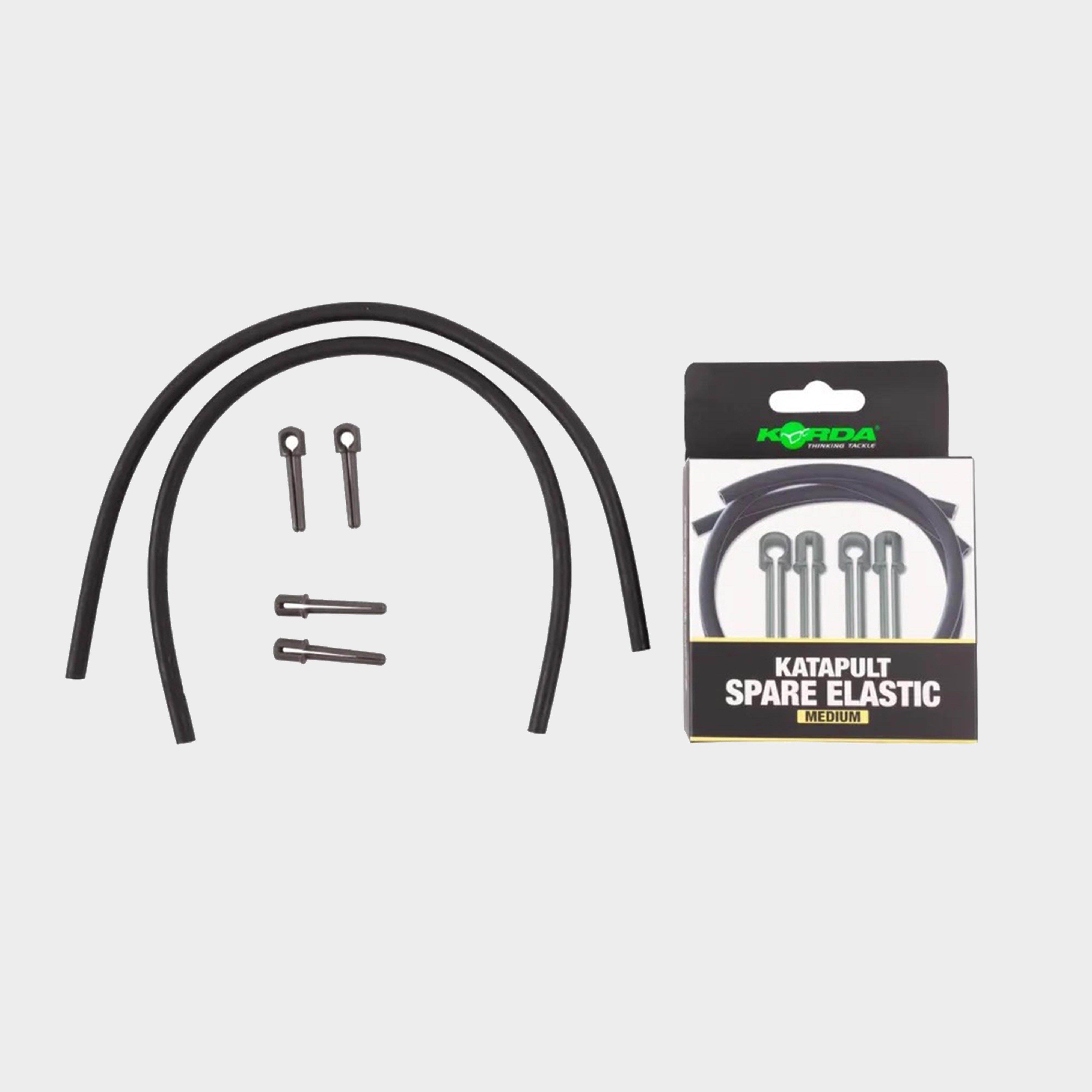
Korda Katapult Spare Elastics Medium - No Colour, No Colour
This pack includes spare elastics in size Medium for the Korda Katapults. Keep your Katapult always ready for action with these convenient replacements, perfect for enhancing your angling experience.Pack of spare elastics for the Korda KatapultsAvailable in Light, Medium and HeavySize: MediumProduct...
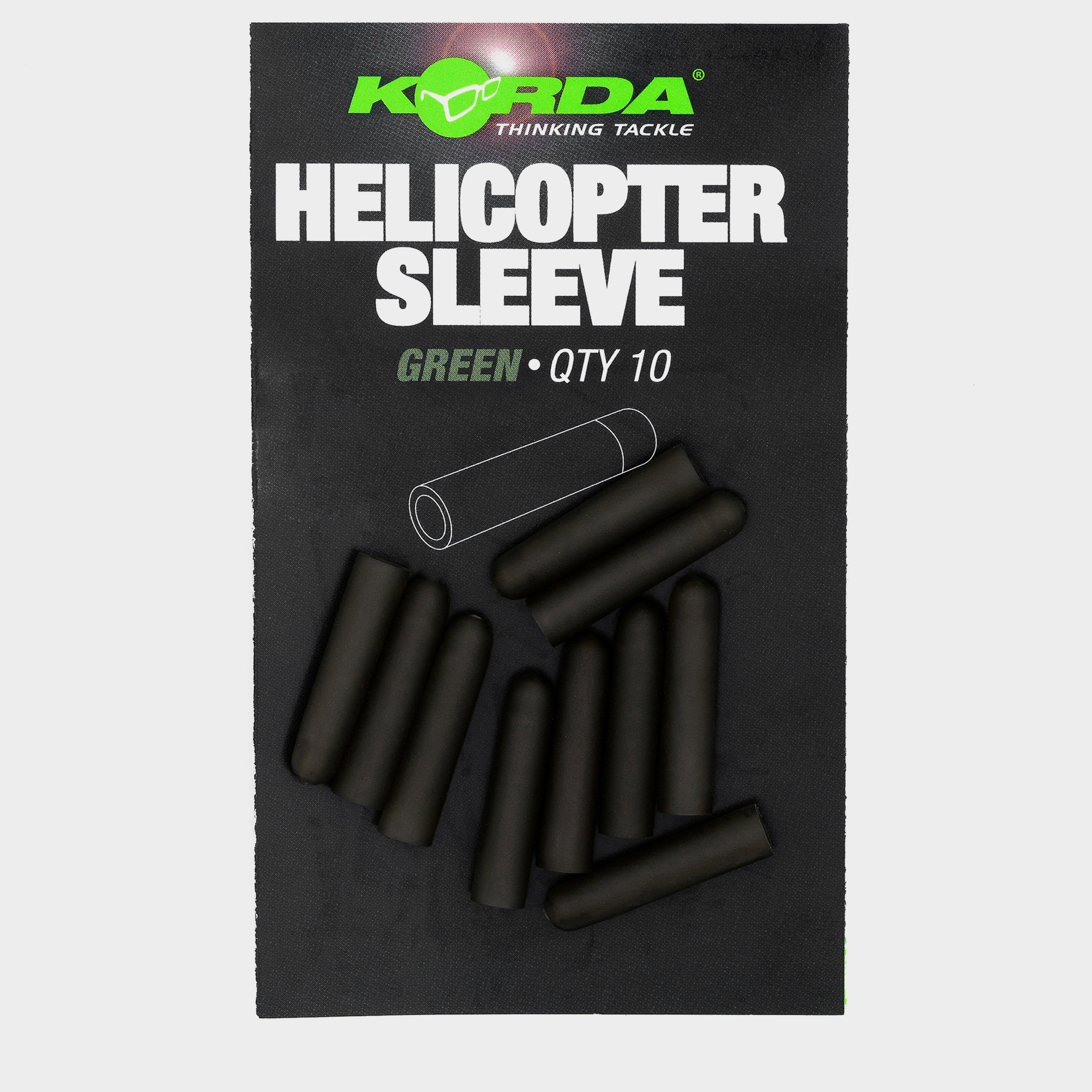
Korda Helicopter Sleeve Rbr Weedy Grn, RBR
Fits perfectly over a Korda Kwik Link to stop tangles, perfect compliment to the Kamo Leader