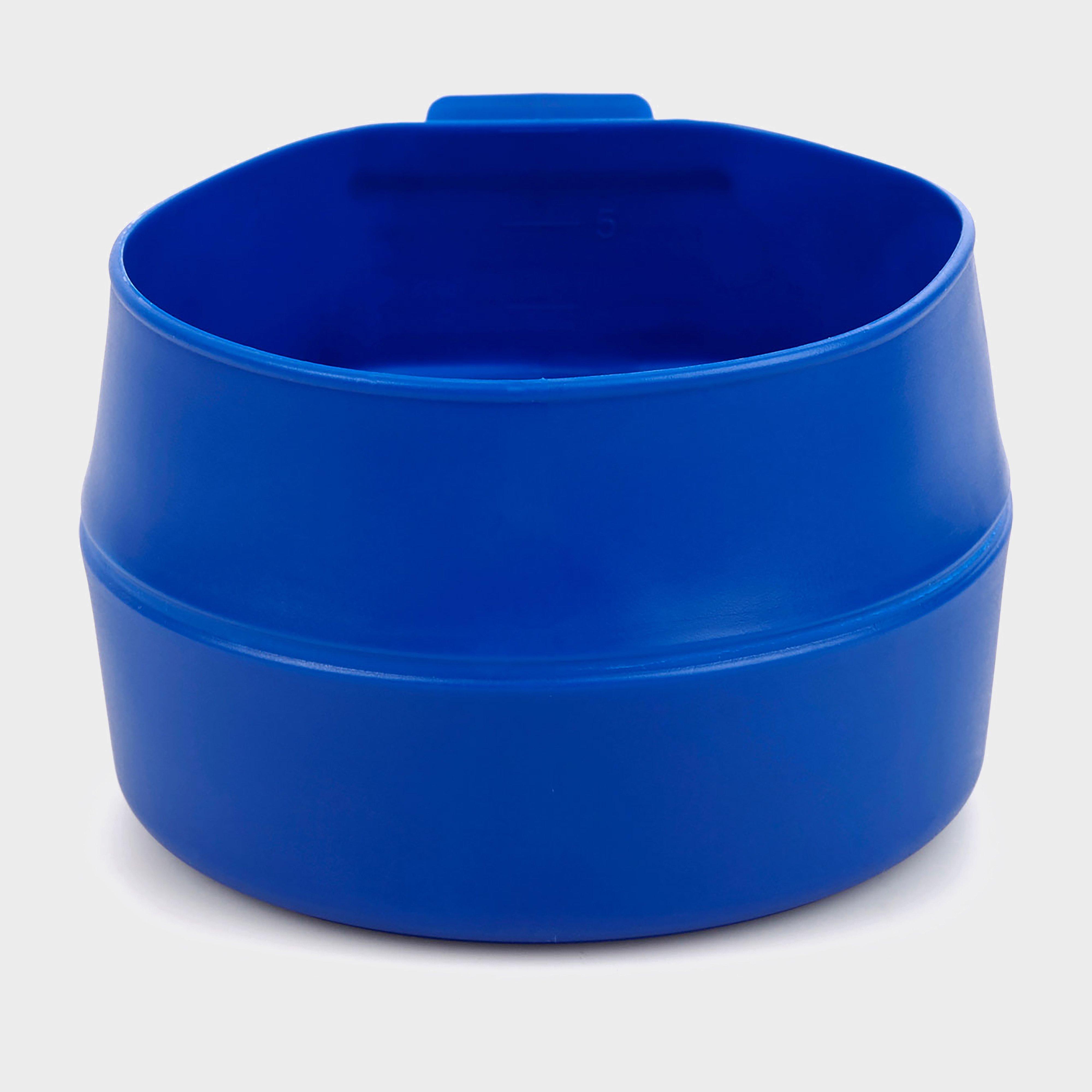
Wildo Fold-A-Cup® - Blue, Blue
Ideal for soup, cereal or having a brew on the go, the handy Fold-A-Cup pops open from its folded position to form a cup or bowl. It can hold up to 600ml, and folds down to 4cm so you can stash it away without taking up precious room in your backpack. The fold ensures it won't drip after you empty it.Volume:...
Janssen 18 X 1.75 - 2 1/4" Bike Inner Tube With Angled Schrader Valve - Grey, Grey
18” STDSchrader angled valveInner Tube Size: 18 x 1.75 - 2 1/4"Valve Type: Schrader Valve 40mm_
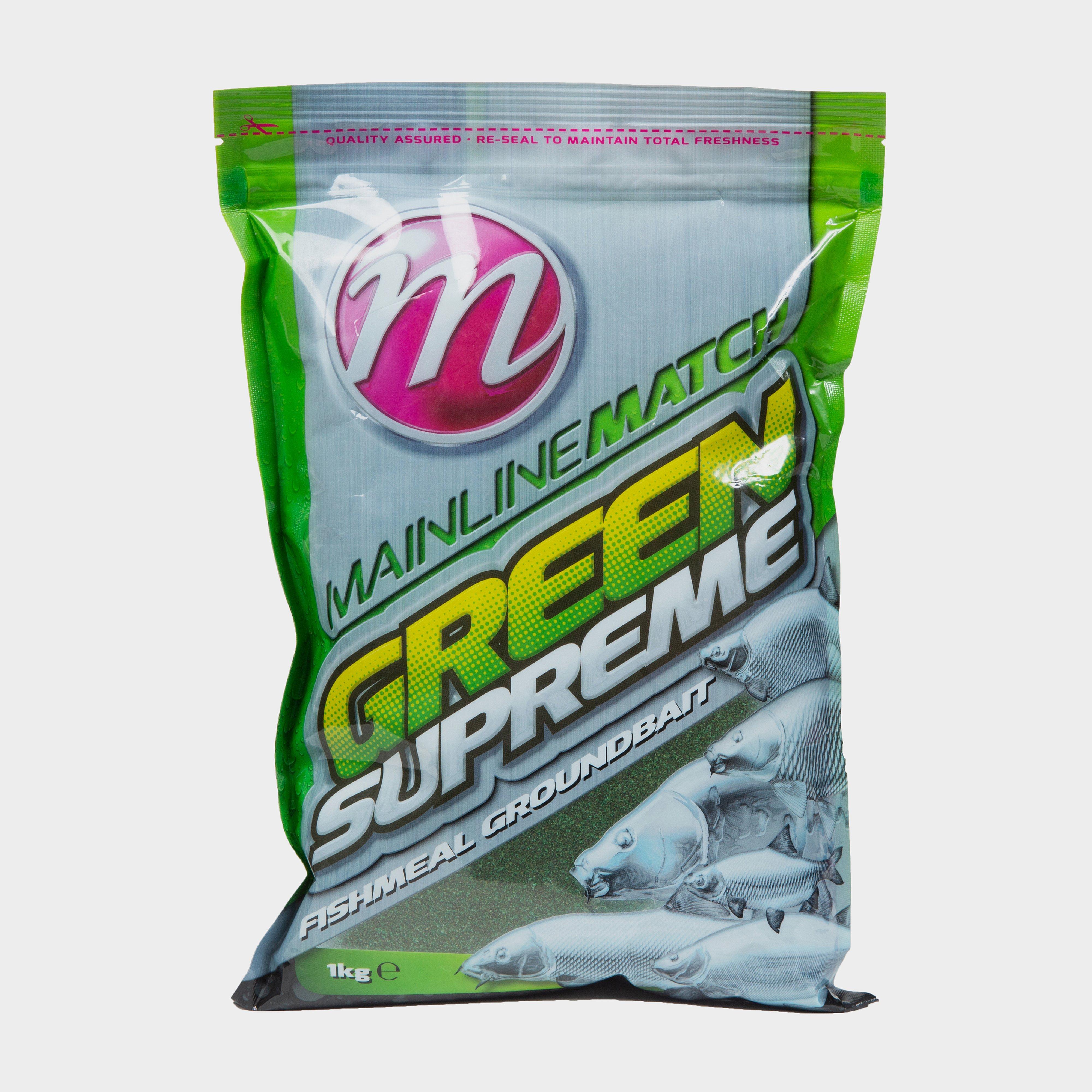
Mainline Match Green Supreme 1Kg, Green
Designed to catch all species of fish, the Mainline Match Green Supreme is equally effective on natural and commercial values, meaning that you should always keep this mix handy! With a natural green colour, it can be mixed dry for use in a swim feeder as well as on the wet side, to form into a ball...
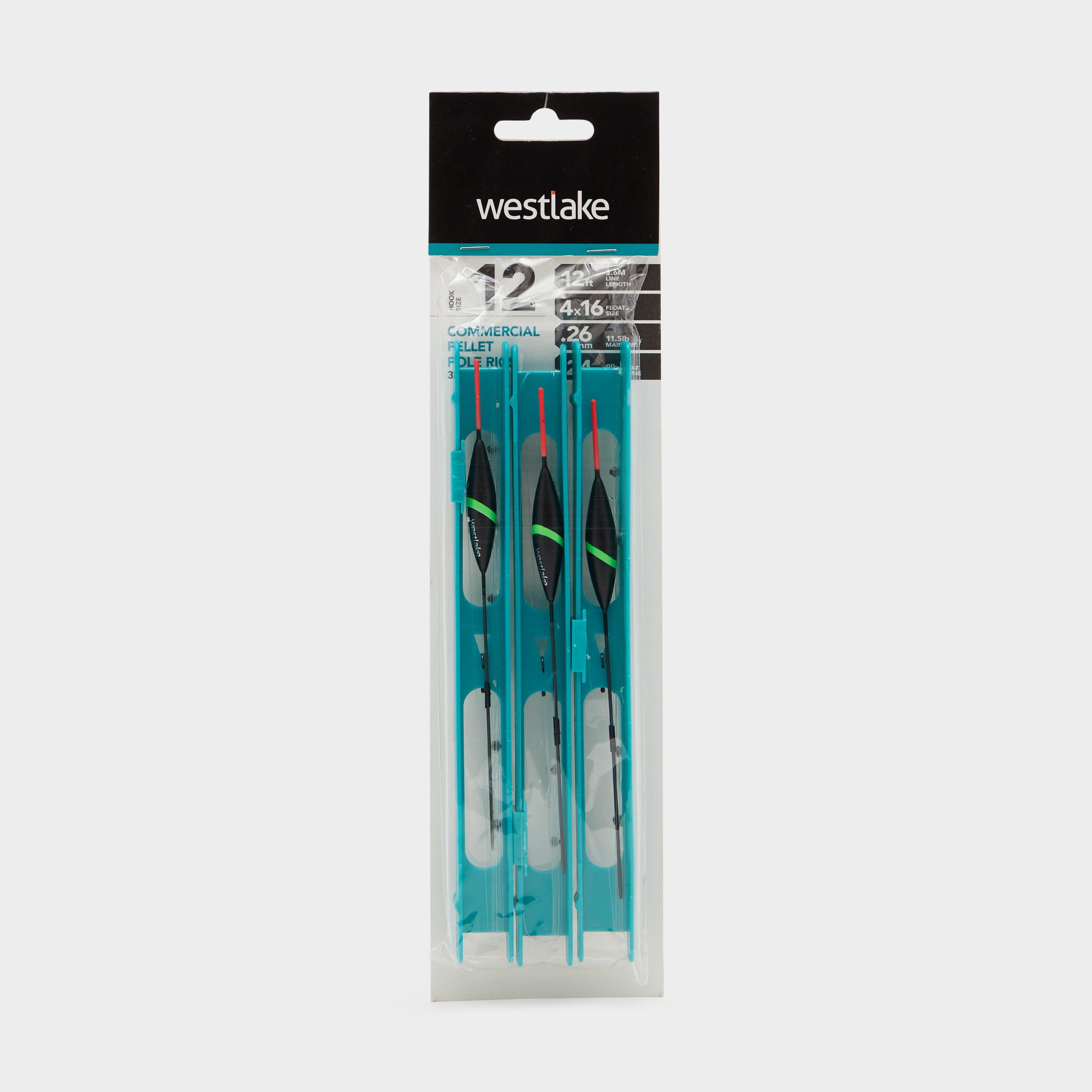
Westlake Pellet Pole Rigs - Black, Black
The pack of Pellet Pole Rigs from Westlake contains three ready-made, professionally tied pole rigs, which have been constructed using top quality floats, line and hooks. Rigs are presented on a tackle-box-friendly winder system, which incorporates a sliding line lock, allowing you to store your rig...
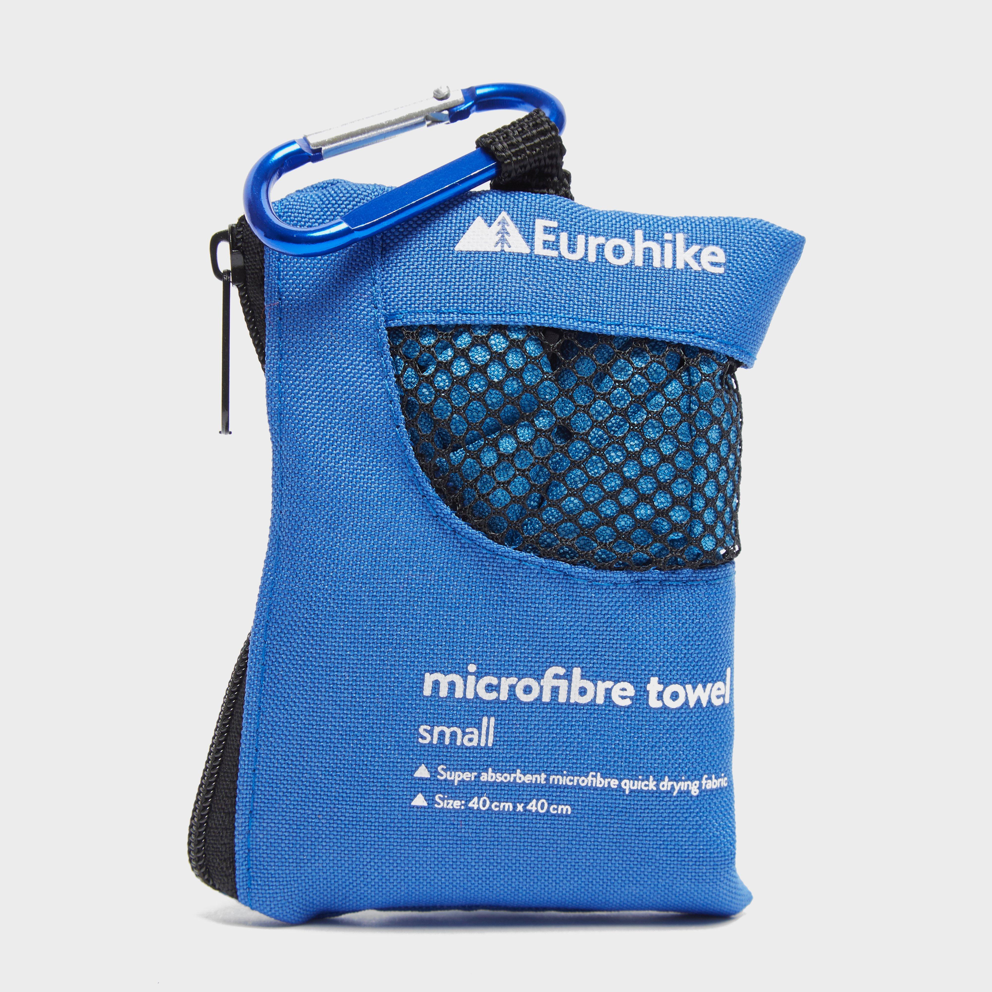
Eurohike Microfibre Mini Clip Towel (40X40Cm) - Blue, Blue
Quick dryingLightweightAnti-bacterialUltra-absorbentSuper softComes in its own travel pouch with carabiner
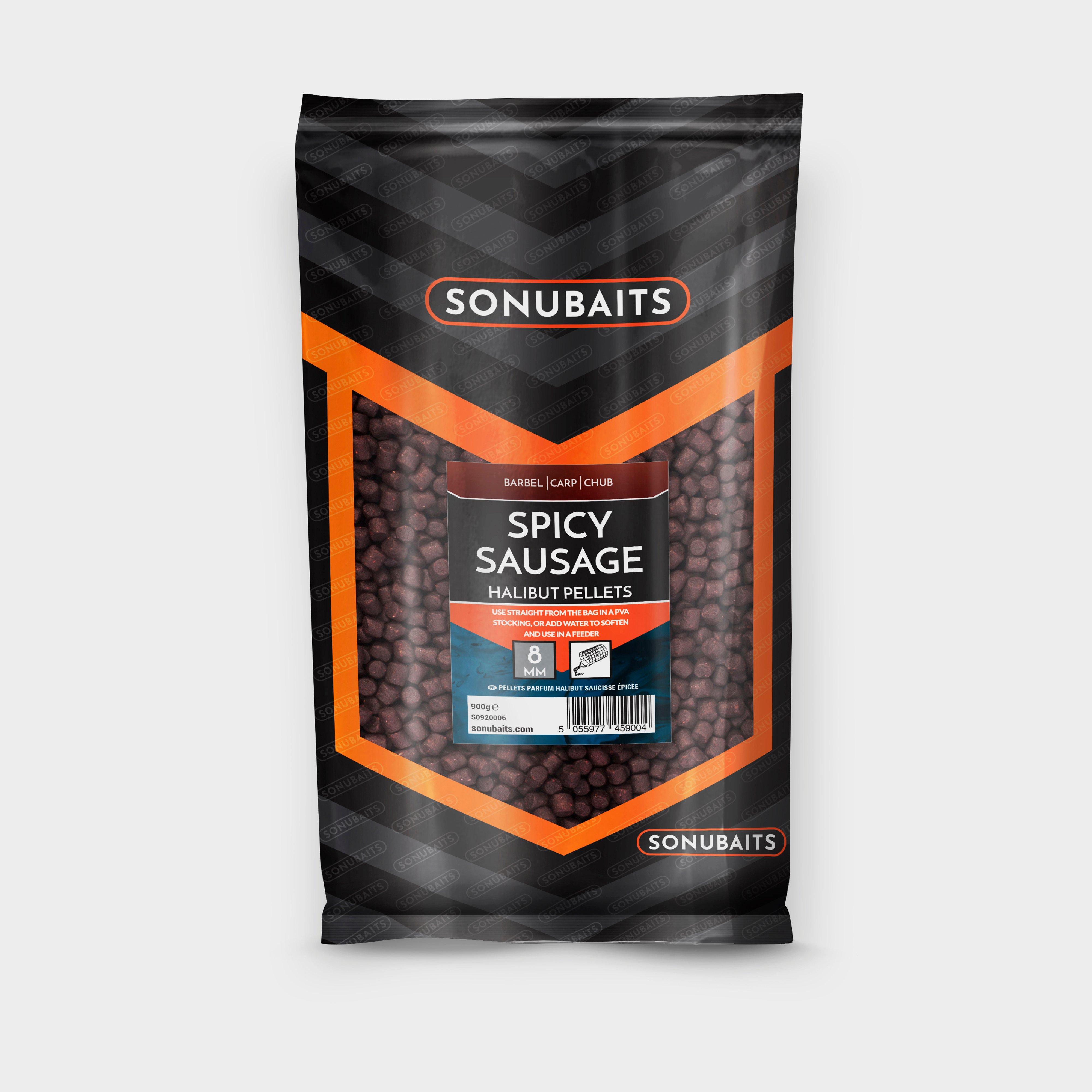
Sonu Baits Halibut Spicy Sausage 8Mm - Multi, Multi
Halibut Pellets are a superb bait for all specimen fish especially Barbel and Chub, we have taken this pellet and enhanced it with our unique concentrated Spicy Sausage flavour.
Carplan Demon Tyres Cleaner - 1L - Blue, Blue
Designed to prevent crazing on tire walls, it leaves a long-lasting shine that seals in the brilliance for weeks. Experience the ease and effectiveness of Demon Tyres and elevate your car's appearance in no time. Silicone-free formula for a wet-look tire shine Easy one-step application: spray on and...
Sharpie Fine Permanent Marker Pens Black 12 Pack, Black
With a 0.5mm line width, these markers add sharp bold lettering to any surface.Pack of 5Barrel Colour: Grey0.5mm tipColour: Black
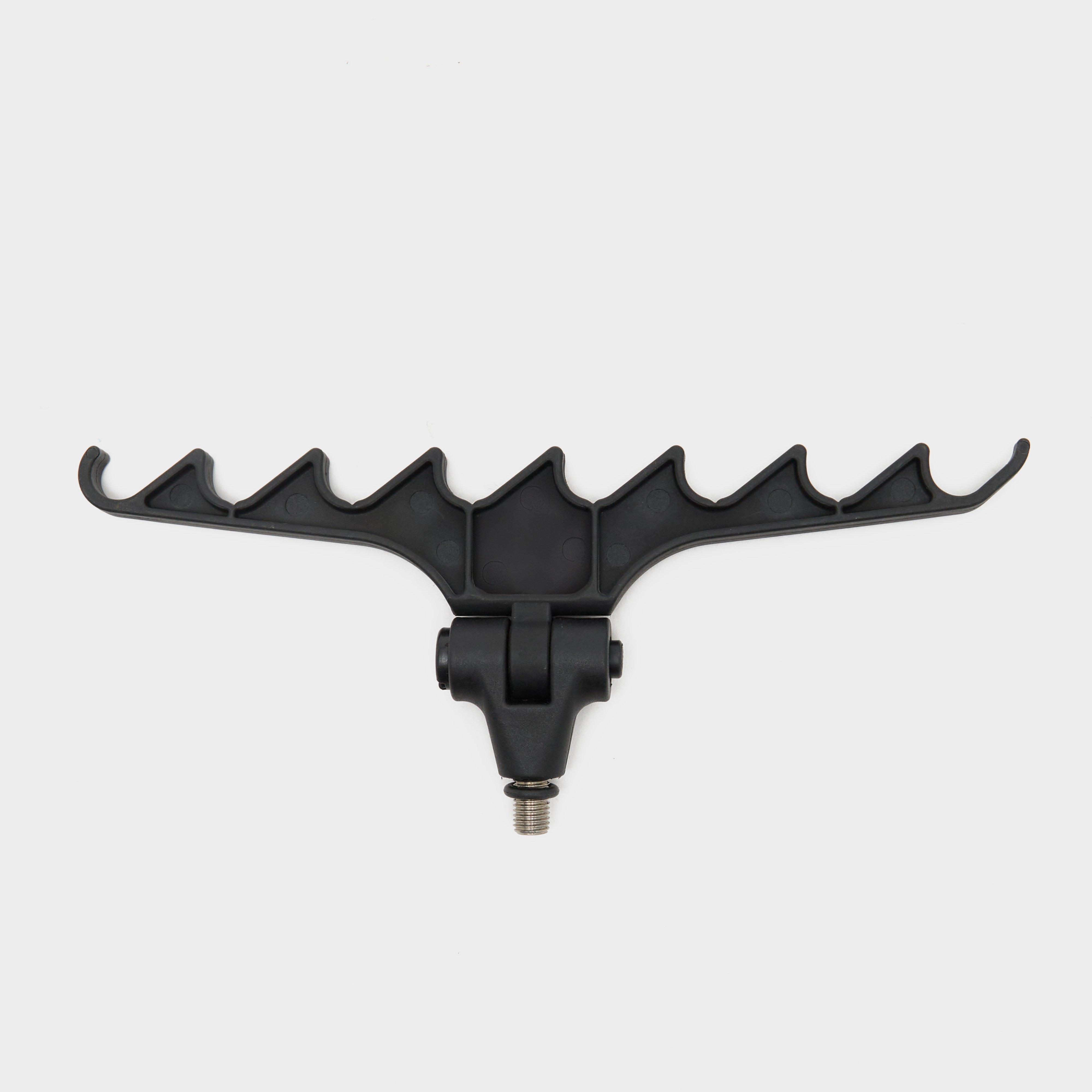
Westlake Adjustable Feeder Rest - Black, Black
Westlake Adjustable Feeder Rest - Black
Sea To Summit Passage Medium Bowl - Orange, Orange
The Passage Medium Bowl is made using glass-reinforced polypropylene, which is both lightweight and food safe, complete with a silicone sip lid to reduce risk of spills._Hard-wearingCut-resistantStackable designCool grip technologyMicrowave and dishwasher safeCapacity: 720mlColour: Orange_
Peter Storm 3-Pack Sport Sock - White, White
Coming in a black or white colourway, they are constructed from a high cotton blend, making them extremely soft and comforting, perfect for all day wear.Pack includes 3 pairs of socks Low cut design Available in black or white colorway Made from a high cotton blend for softness and comfort Suitable for...
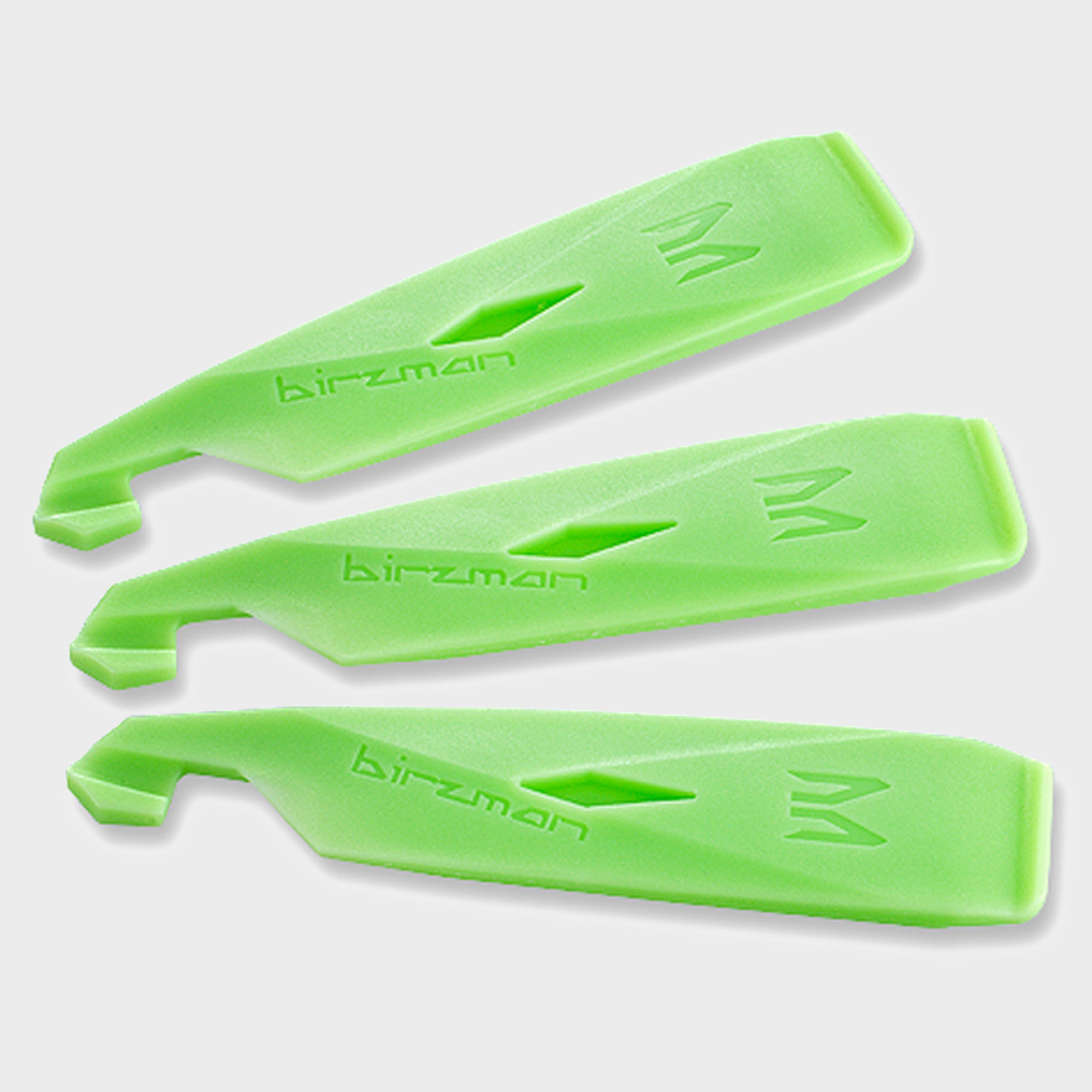
Birzman Tyre Lever Set - Green, Green
Birzman Tyre Levers are rigid, 110mm long and very bright green, making them easy to find in your toolkit.__ They have a spoke hook at the opposite end of the lever, to catch under a spoke and help to keep the tyre you're removing out of the rim.__ The lugs that slot the levers together also double...
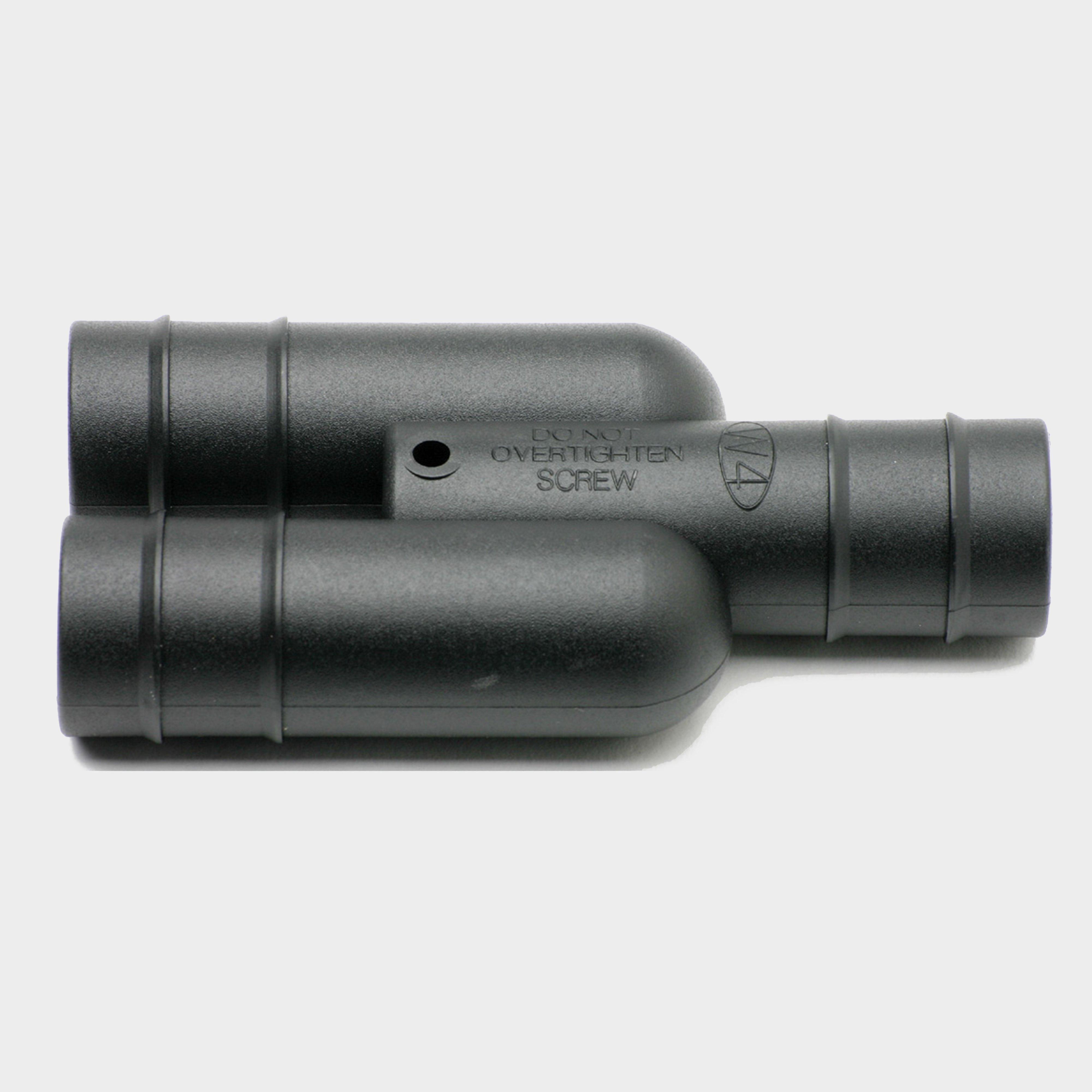
W4 Y Hose Connector 32.5Mm - Grey, Grey
Connect two 32.5mm waste pipes into one
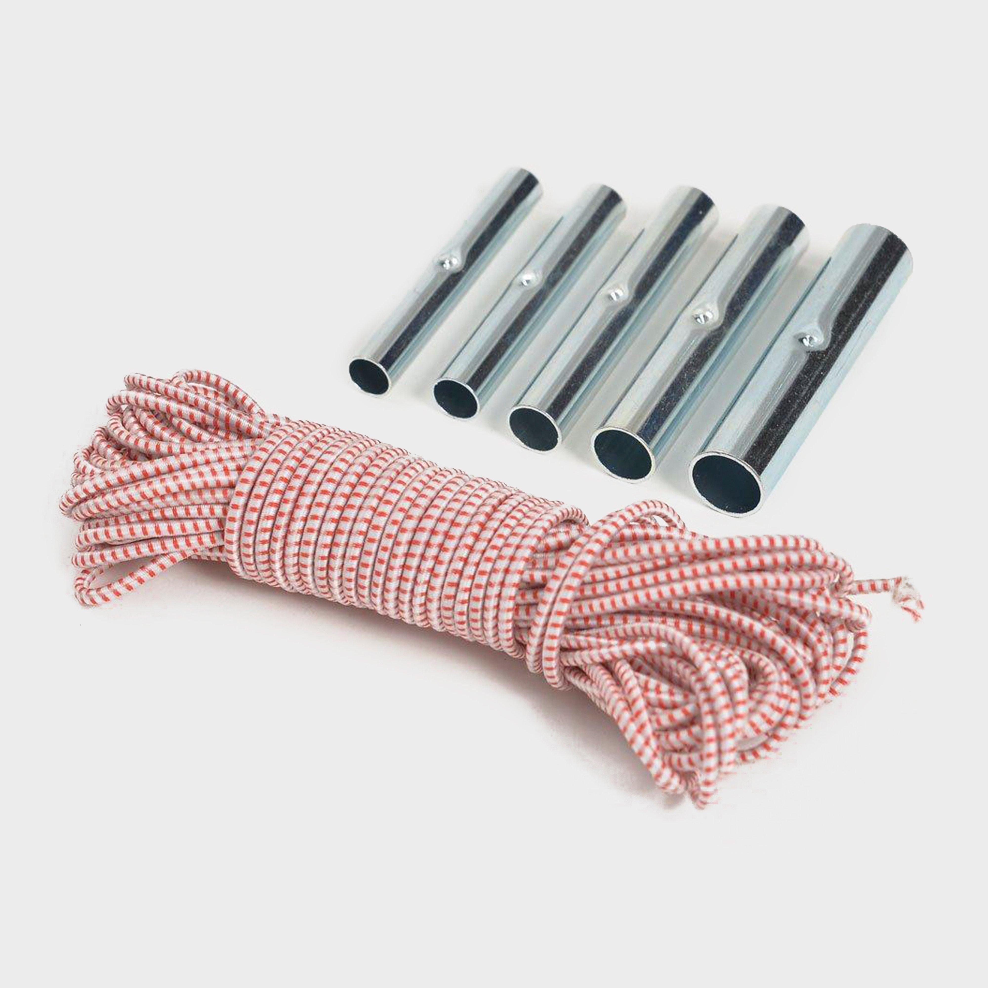
Hi-Gear Pole Ferrule Repair Kit - Pink, Pink
Repair your flexi-pole tent with this handy kit Replacement Ferrules x 5 - 7.9mm / 8.5mm / 9.5mm / 11mm / 12.7mm Shock cord x 10 metresYou've had the tent a few years, it's still good for another year but it needs a little TLC.__Actually, now you come to think of it, didn't the shock cord snap last...

