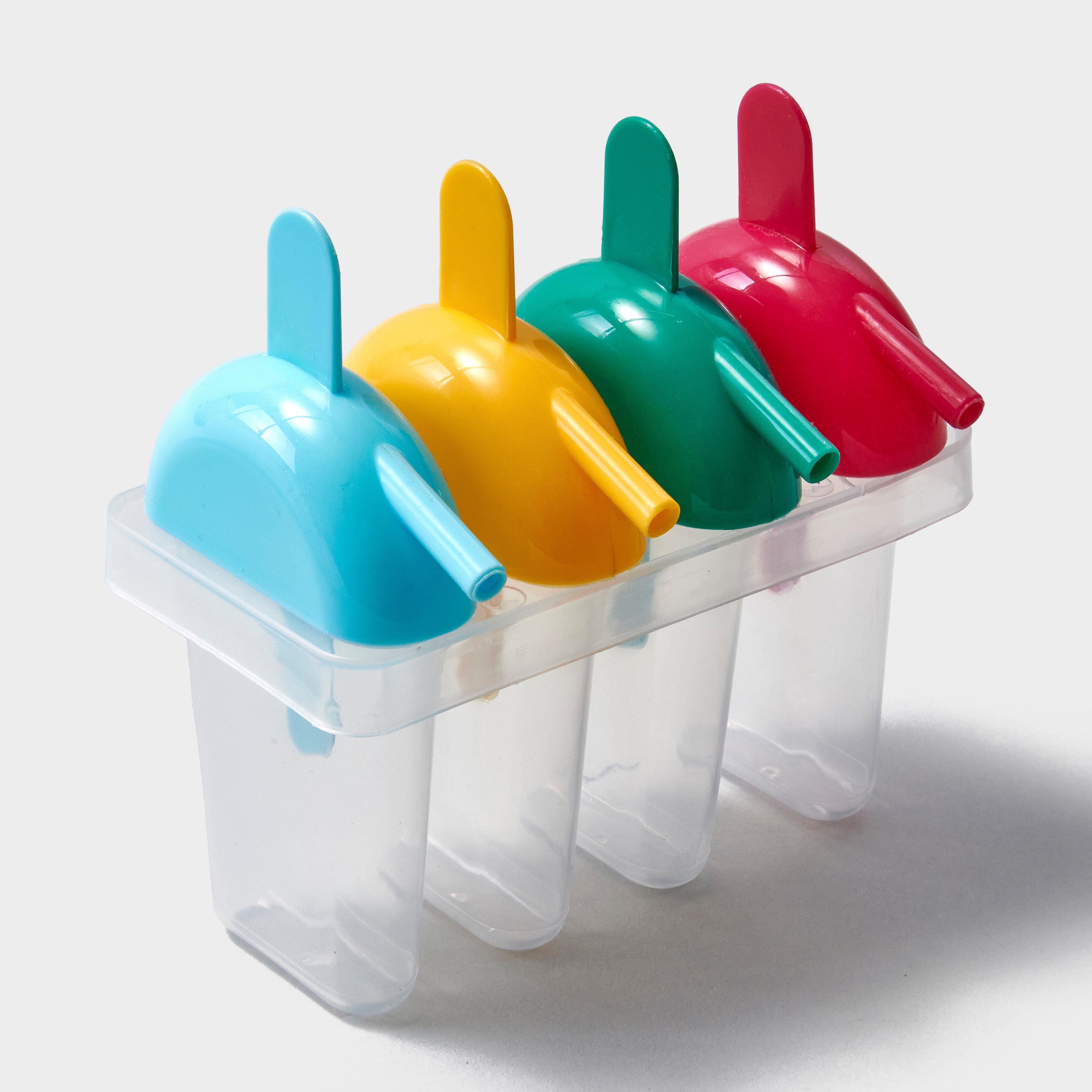
Eurohike 4 Piece Ice Lolly Set - Multi, Multi
Have a great time making your own ice lollies with the Ice Lolly Set._· Colour: Assorted
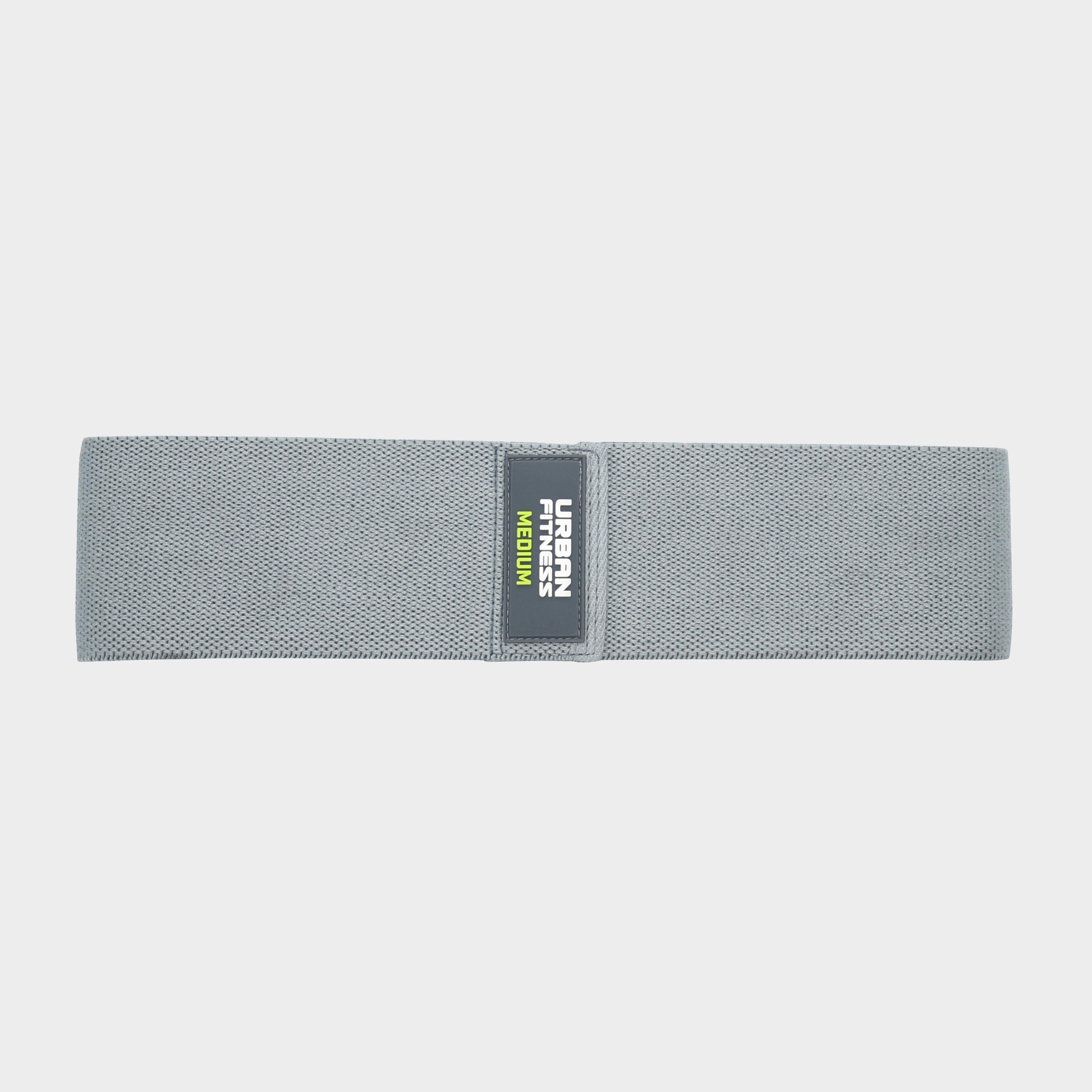
Urban Fitness Fabric Resistance Band Loop 2M Medium - Grey, Grey
This strong fabric loop band is made from non-slip technology. Ideal for working the hips, glutes, hamstrings, quads and calves - all you need for a full lower body routine. Choose from 4 different resistance levels to intensify your workout._Available in Light, Medium, Strong and Extra StrongDimensions:...
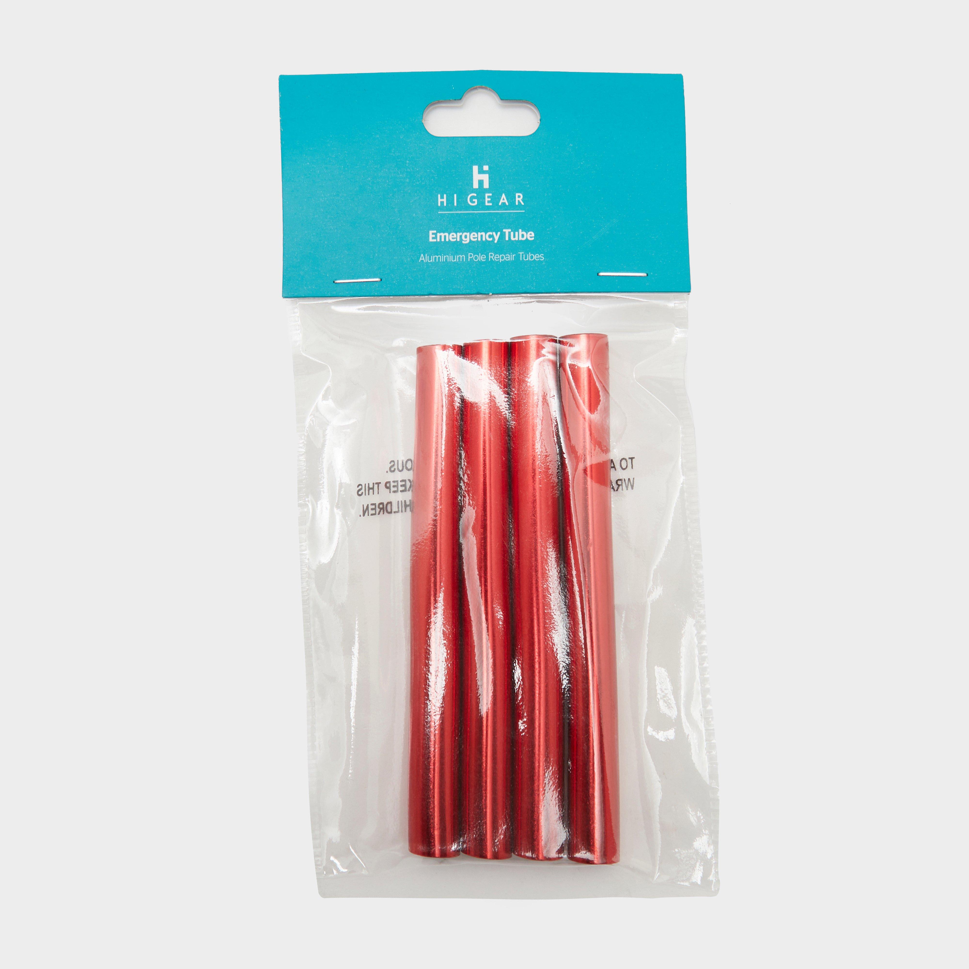
Hi-Gear Emergency Pole Repair Tubes - Red, Red
For the best results place over the damaged section and hold in place with suitable tape.Tent pole repair tubesPack of fourDiameter: 13mmLength: 127mmWeight (per tube): 12gMaterial: 100% aluminum alloy
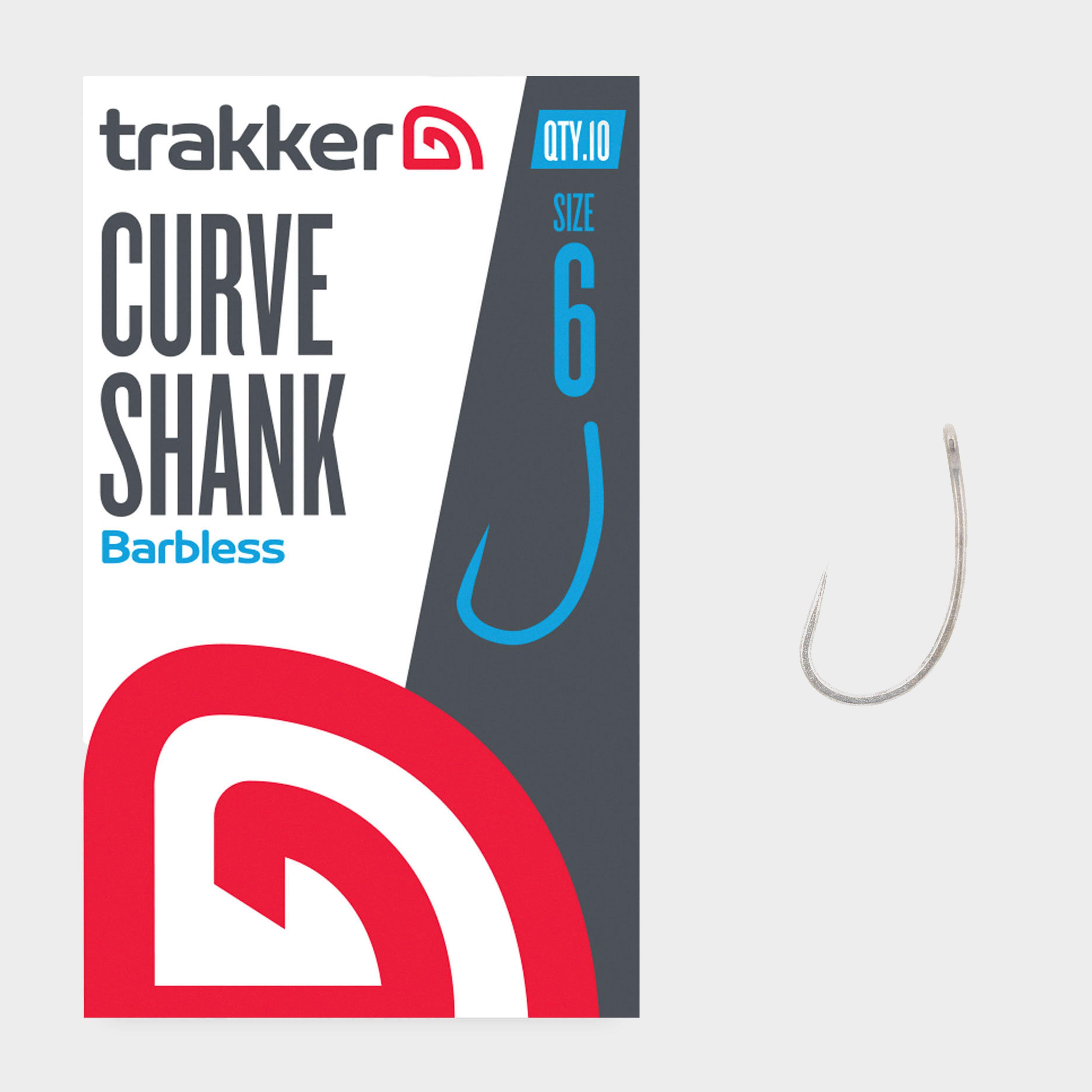
Trakker Curve Shank Fishing Hooks Size 6 - Multi, Multi
These hooks are crafted from XC 80 Vanadium steel wire gauge and then chemically sharpened. They also feature a straight point that ensures an efficient hook set. On top of that, each individual hook is forged with an aggressive curved shank pattern and a straight eye to provide grander bait presentation...
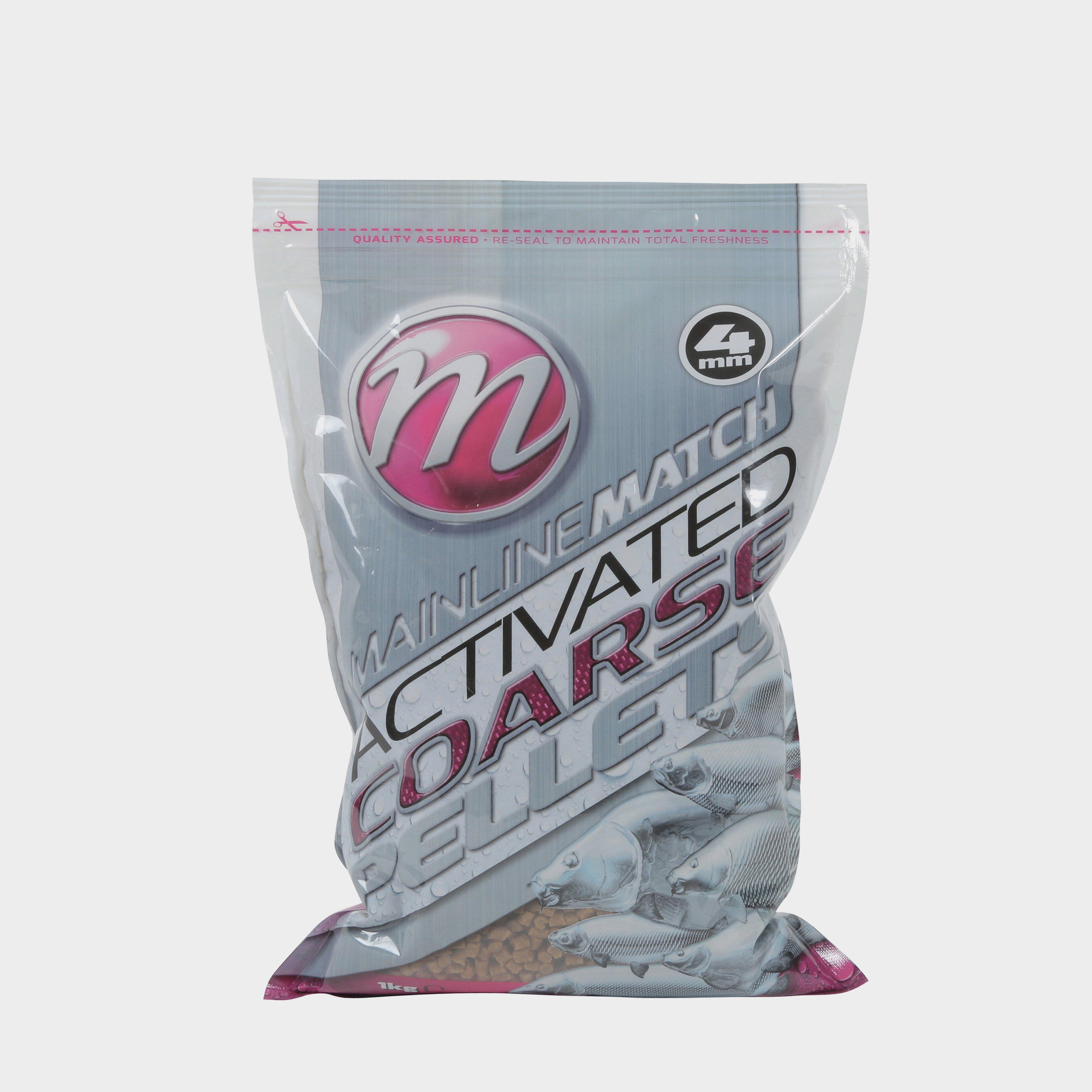
Mainline Match Coarse Pellets 4Mm 1Kg - Grey, Grey
Available in a 1kg resealable bag, the Mainline Match Coarse Pellets 4mm send a stream of attractive food signals through the water- sending the fish into a total frenzy. If you would like to take the attraction to a whole new level, combine the pellets with the Mainline Sticky Syrup.Designed for the...
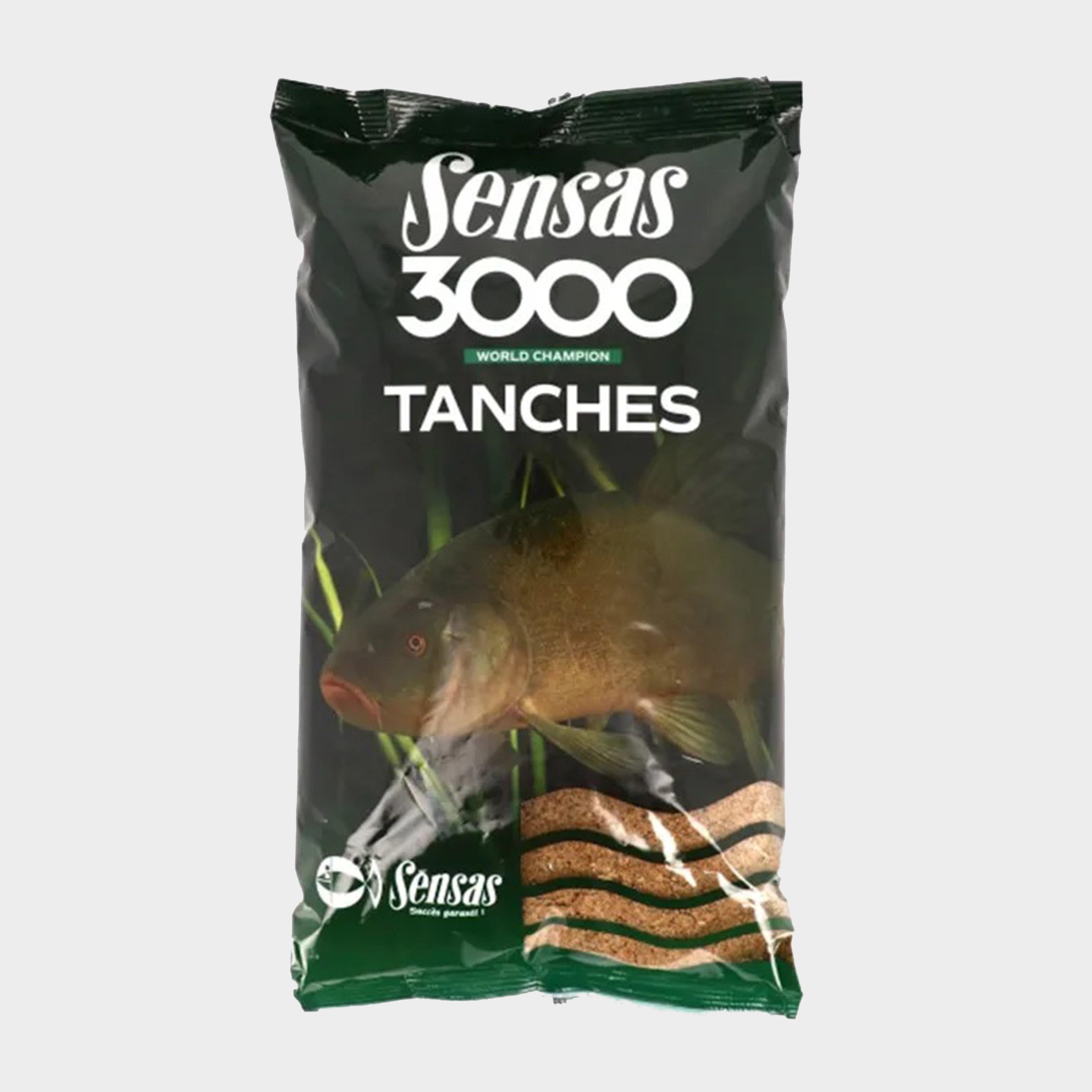
Sensas 3000 Tench 1Kg - Brown, Brown
Weight: 1kgStickiness: 4 out of 5Richness: 3.5 out of 5Particle size: 4Colour when wet: dark brownUse for tench and carpMostly effective in spring / summerClip & cut bag prevents spillageProduct Code: 781
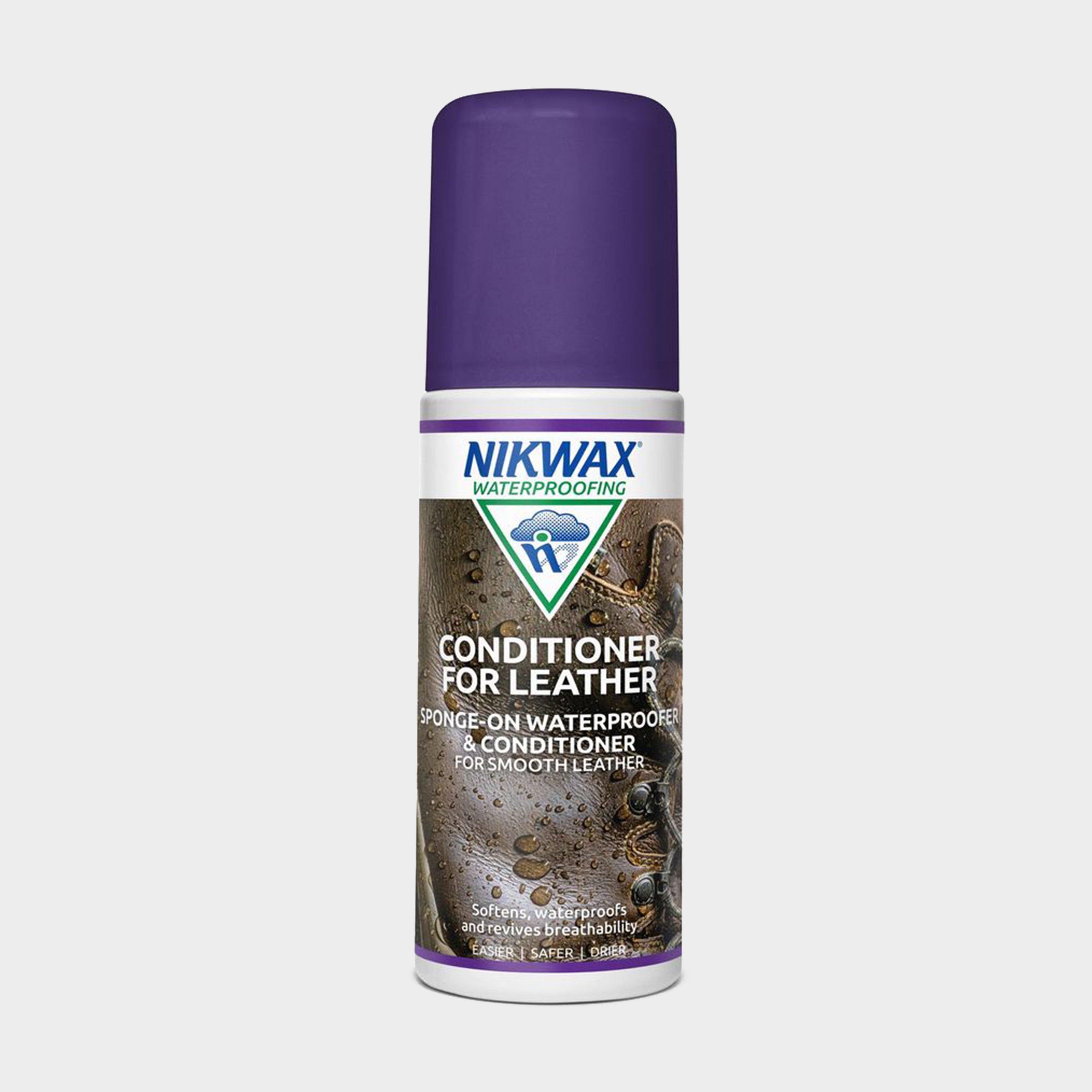
Nikwax Leather Conditioner (125Ml) - Clear, Clear
Revitalise cracked and dried leather with this easily applied conditioner, which will also enhance waterproofing and revive the breathability of your full grain leather footwear.Prolongs life and performanceEasy to apply - Sponge-on application, can be applied indoors unlike solvent based spraysIdeal...
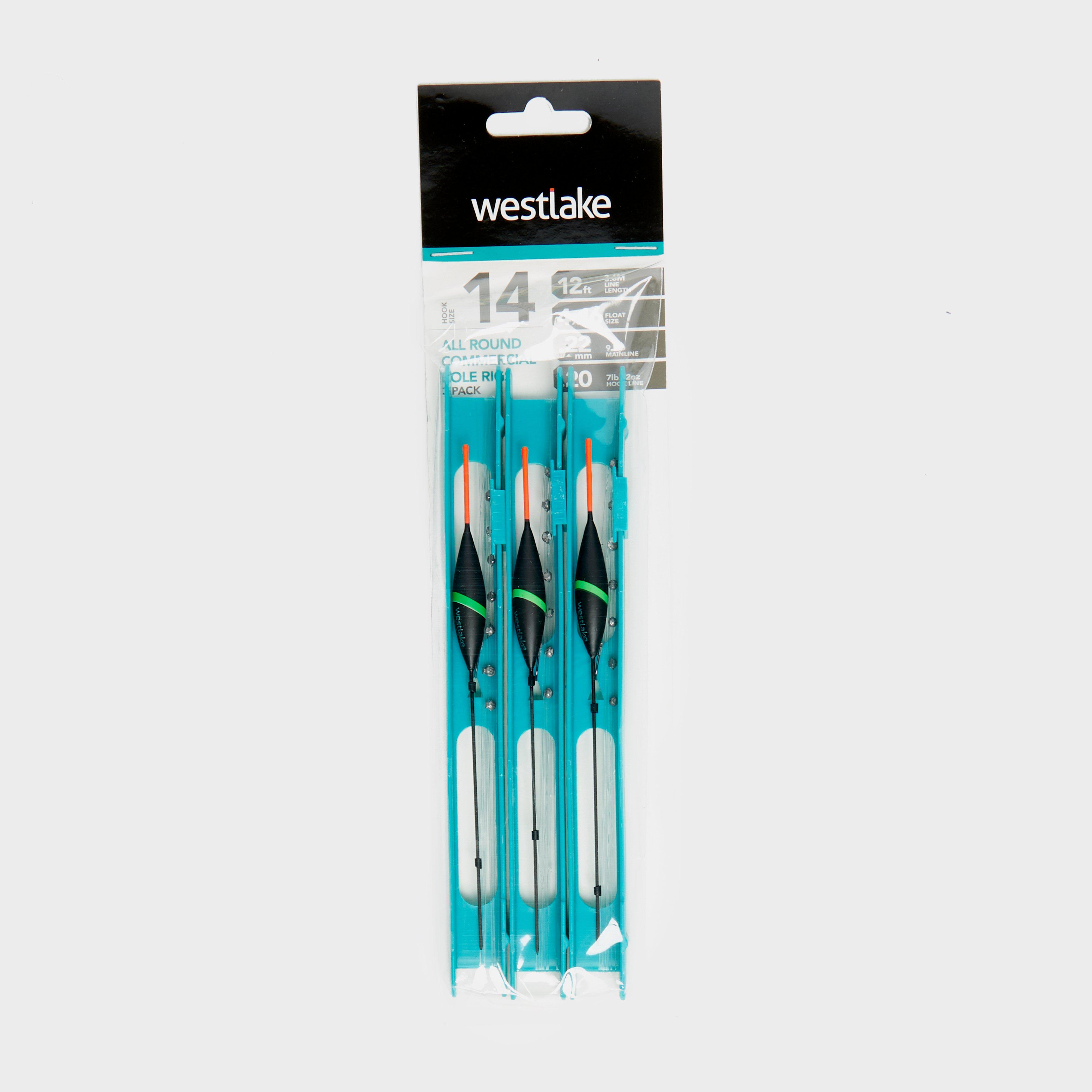
Westlake 3Pcs Pole Rig Pack All Round - Black, Black
Ideal for margin carp fishing, the Westlake All Round Commercial Pole Rig features a sliding lock system amongst its tackle box, making it super simple to store. Perfect for commercial waters, the rig has 3.6m of line allowing you to adjust the rig to the required depth for your days by the lake.Best...
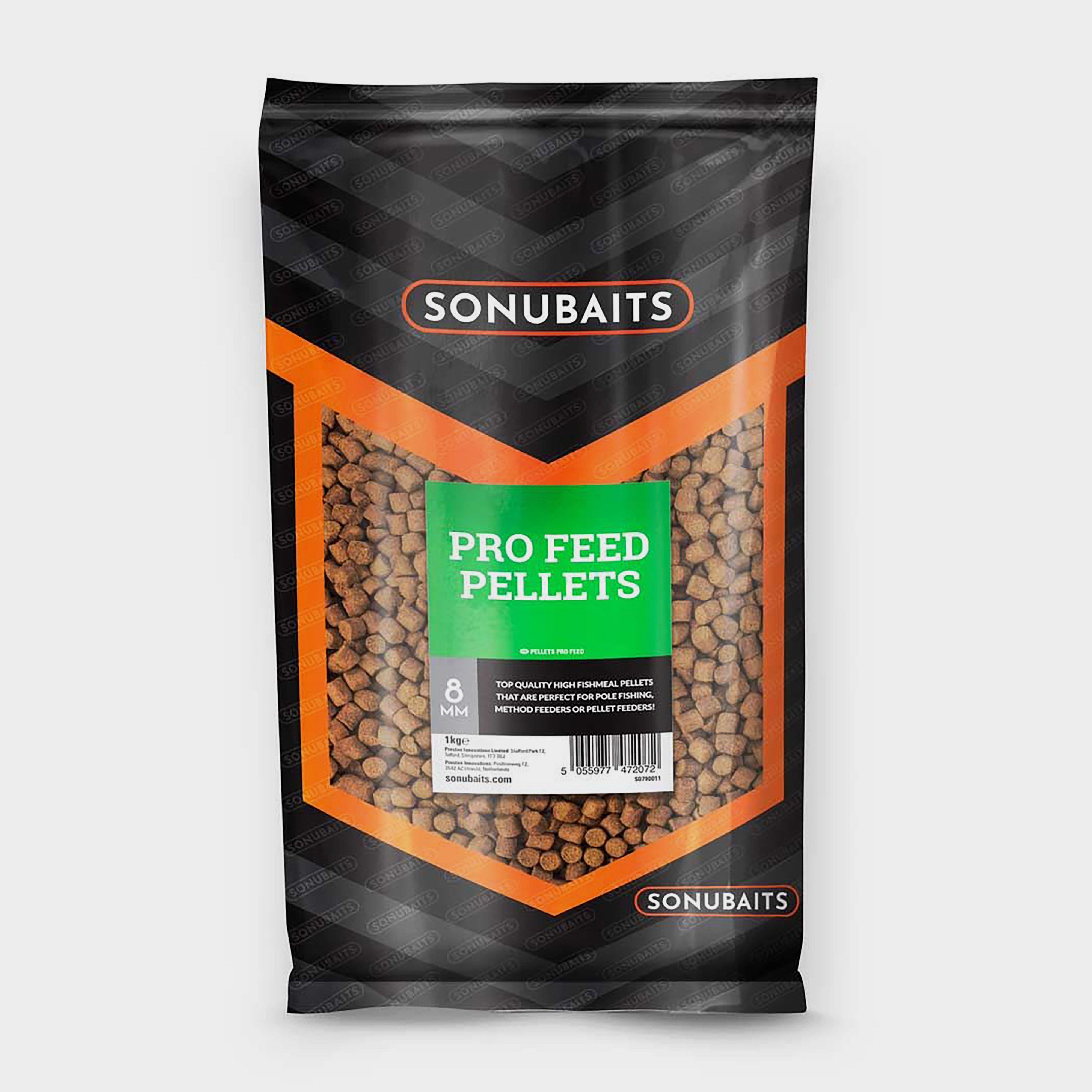
Sonu Baits Pro Feed Pellets 8Mm - Multi, Multi
We've searched high and low to find an extremely high-quality pellet that not only catches fish but performs right in use. Lots of pellets, especially micro pellets can quickly turn to mush once they re in water. Leave most pellets for slightly too long and they can be virtually unusable.
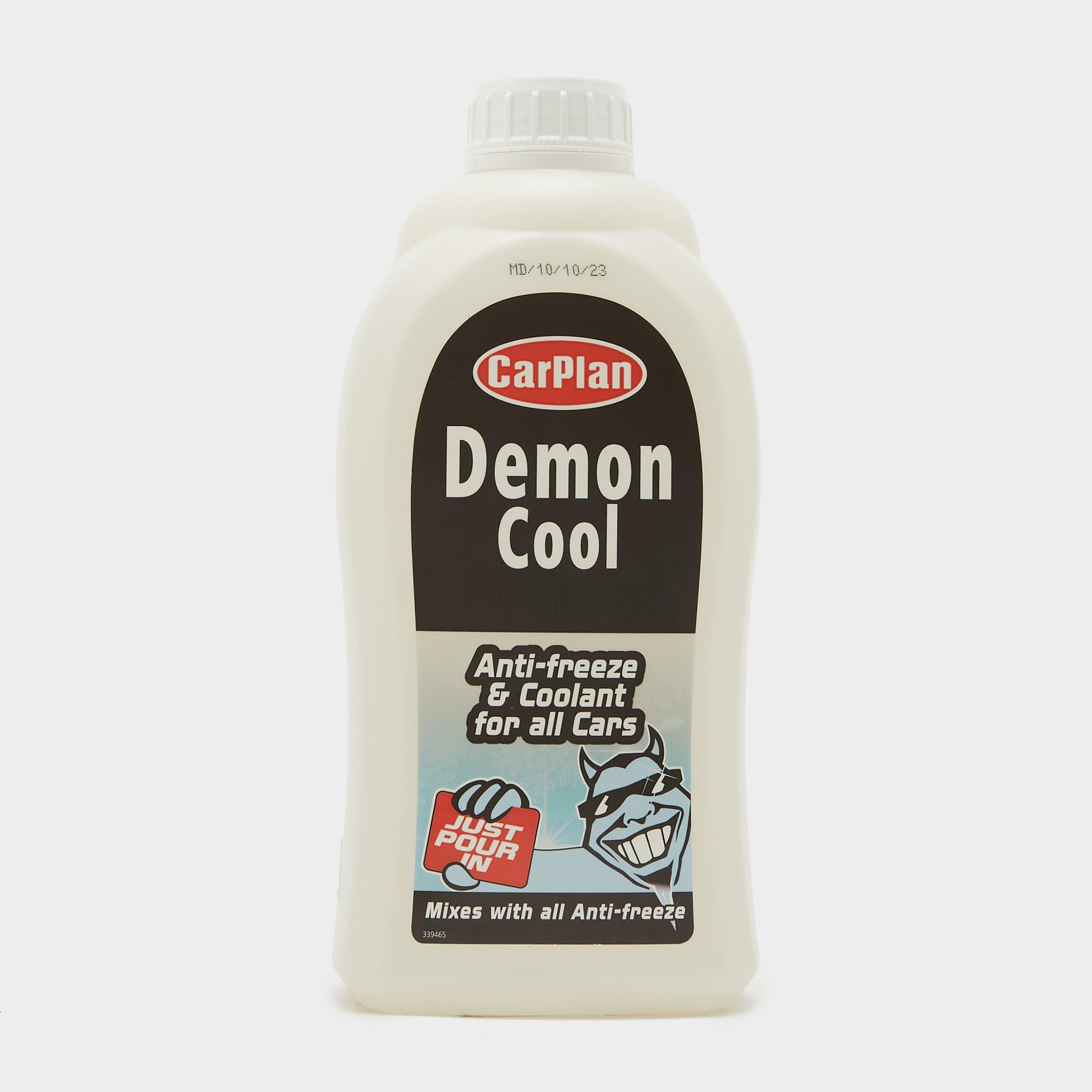
Carplan Demon Cool Antifreeze & Coolant - 500Ml - Clear, Clear
This universal top-up solution seamlessly blends with all antifreeze colours. As an antifreeze, it revitalizes your vehicle's original coolant, delivering top-notch performance in all conditions. Leave it in as a coolant and inhibitor, and enjoy up to 5 years of rust protection. With a patented clear...

Weber Bamboo Skewers - Brown, Brown
Effortlessly create unique kebabs loaded with delicate shrimp, pineapple and peppers. Let your imagination and barbecuing possibilities run wild with these disposable bamboo skewers._Dimensions: H0.3cm x W1cm x D25cmMaterial: BambooCare InstructionsSet of 25 disposable bamboo skewers
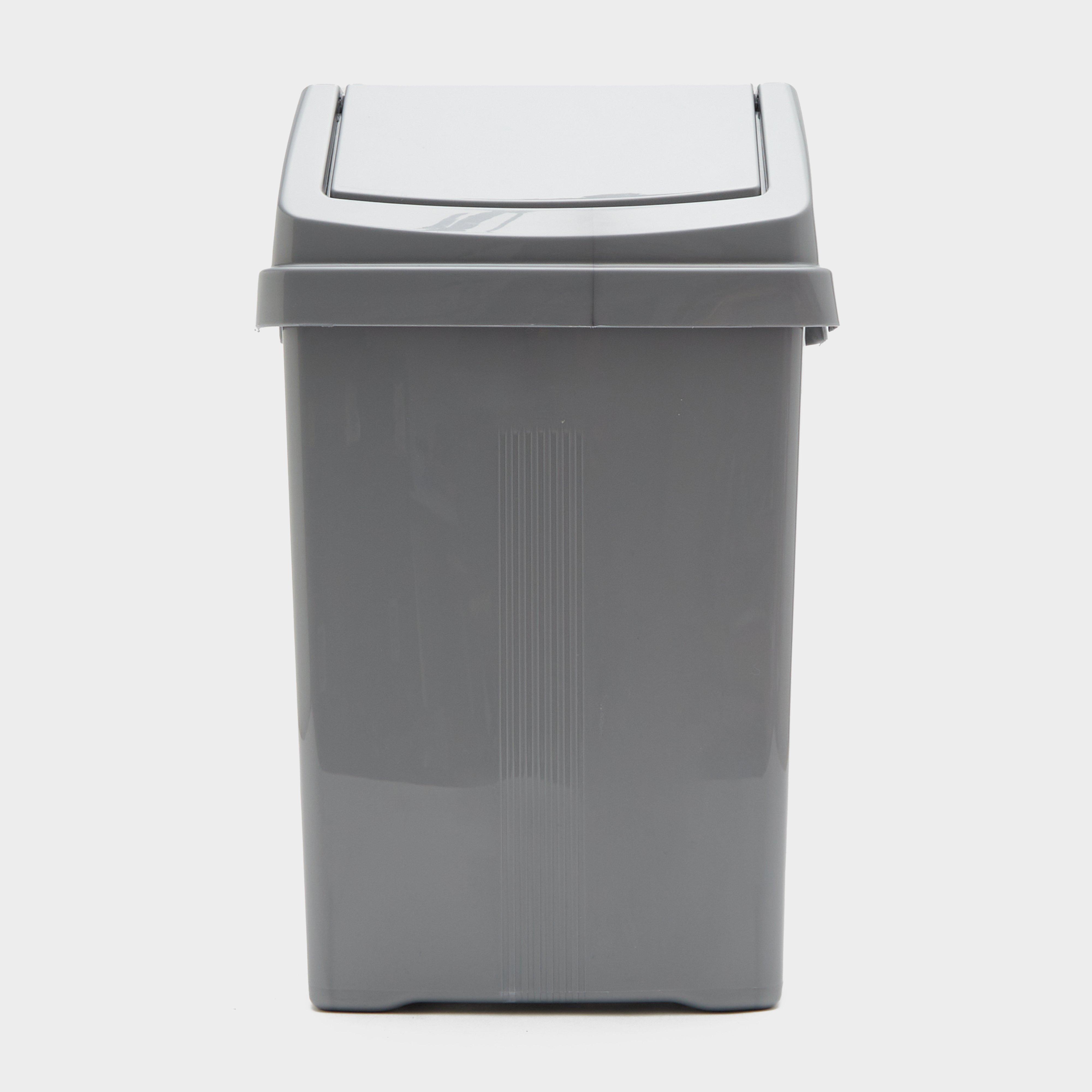
Quest Casa Swing Bin 8 Litre - Grey, Grey
FeaturesSwing lidCapacity: 8 litres
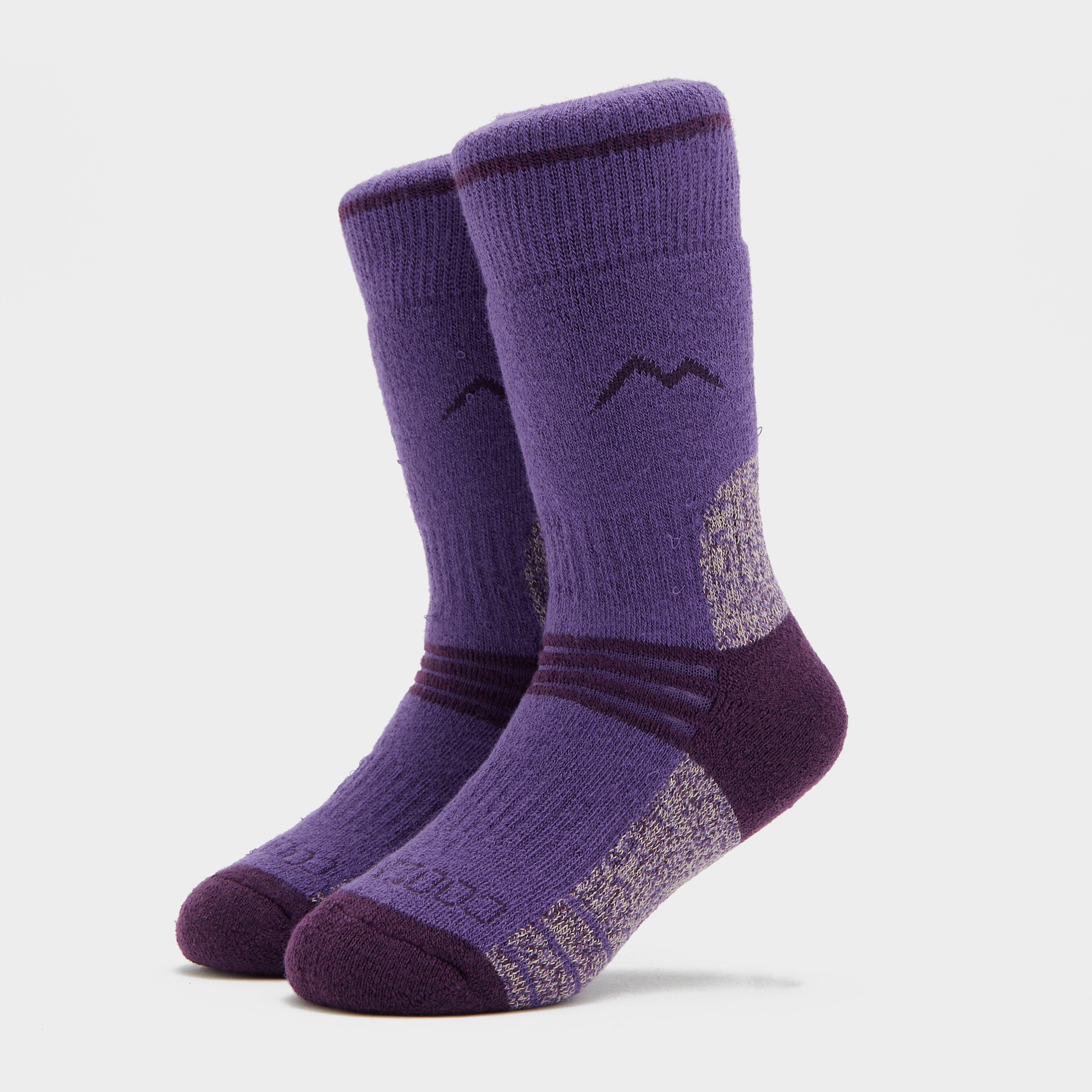
Peter Storm Girl's Midweight Trekking Sock (2 Pack) - Purple, Purple
Peter Storm girl's midweight trekking sock.FeaturesCoolmax- moisture wicking for fresh feeling feetSoft grip cuff- to avoid sock slipFabric: 53% COOLMAX, 19% nylon, 16% acrylic, 8% cotton, 3% wool. 1% lycramulti purpose- trekking, ski-ing, adventure activity days
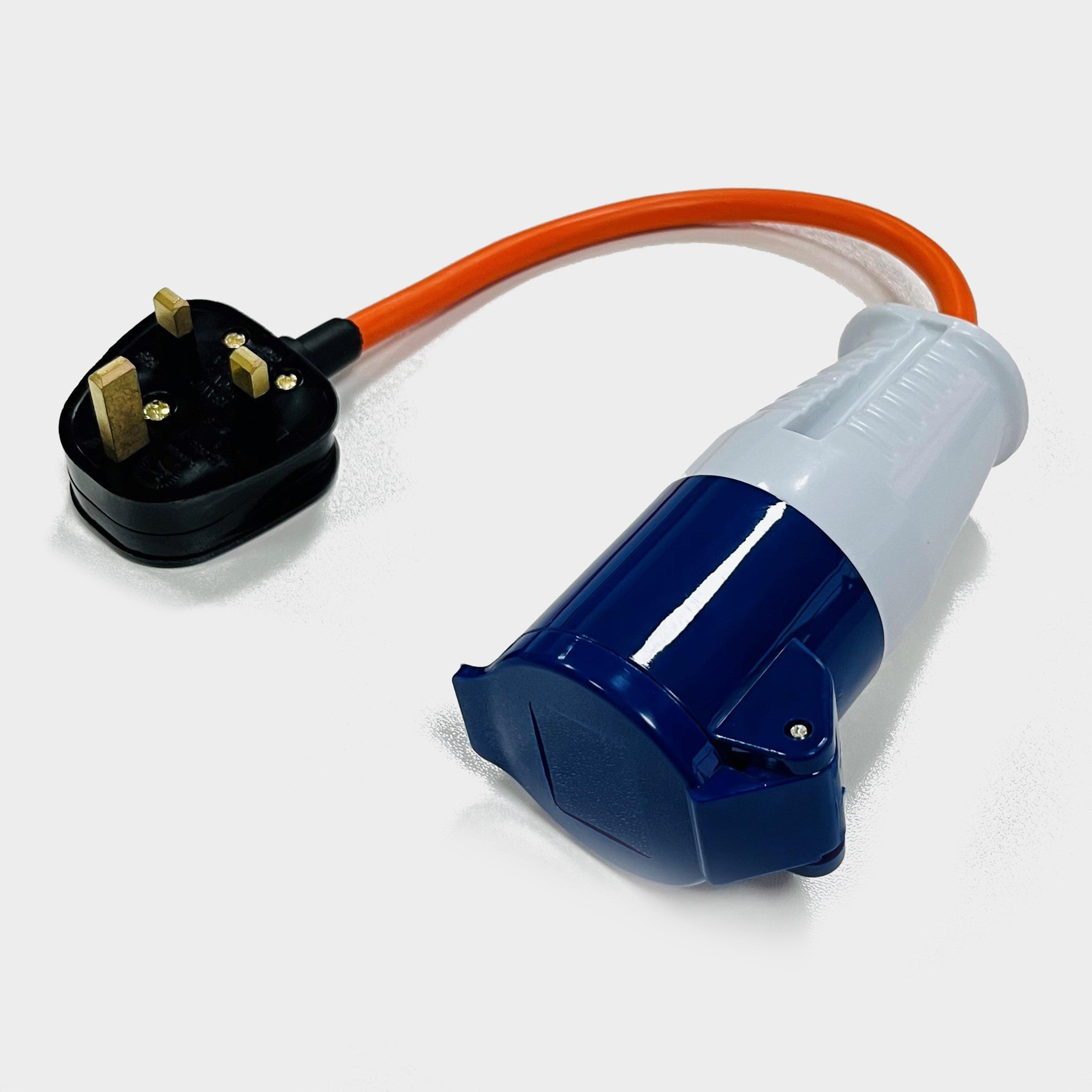
Eurohike 3 Pin Mains Socket Power Lead - White, White
Weather protected power adapter3 pin plug power lead comboDesigned to power your camping or caravanning equipment on UK adventuresWeatherproof hinged door protects the output when not in us
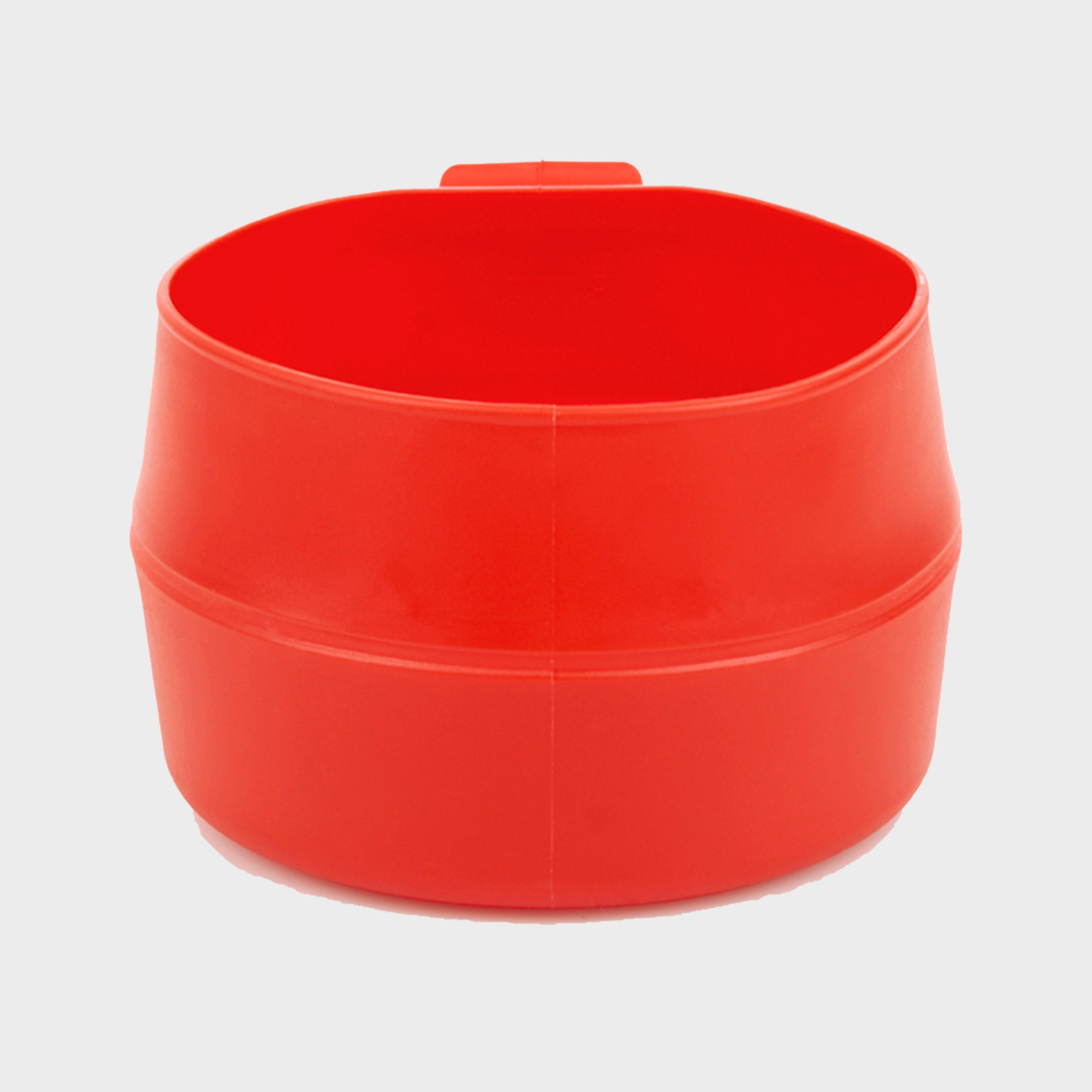
The Wildo Fold-A-Cup; Big is just a mere 4cm wide when folded, yet once popped open it can hold up to 600ml of liquid.__ Taking up very little space or weight in your pack, it folds down in such a way that once emptied of liquid it won't drip over any of your gear.__Designed to fit the original Fold-A-Cup;...