Mainline Match Method Mix 1Kg - Grey, Grey
Using the very best finely ground ingredients the Fine Method Mix provides a super-fine groundbait that mixes and breaks down perfectly… Incorporating a host of hand-picked ingredients including fishmeal and ground pellet the mix is irresistible to all coarse species especially carp. A fantastic Method...
Petface Ernie The Milk Bottle Latex Dog Toy - White, White
This super cute toy is sure to provide your pup with the perfect playtime experience; not too tough for their teeth, but durable for long-lasting fun! As well as being great for outdoor training and interactive play, this chew toy makes an excellent companion for puppies and older dogs alike._The Latex...
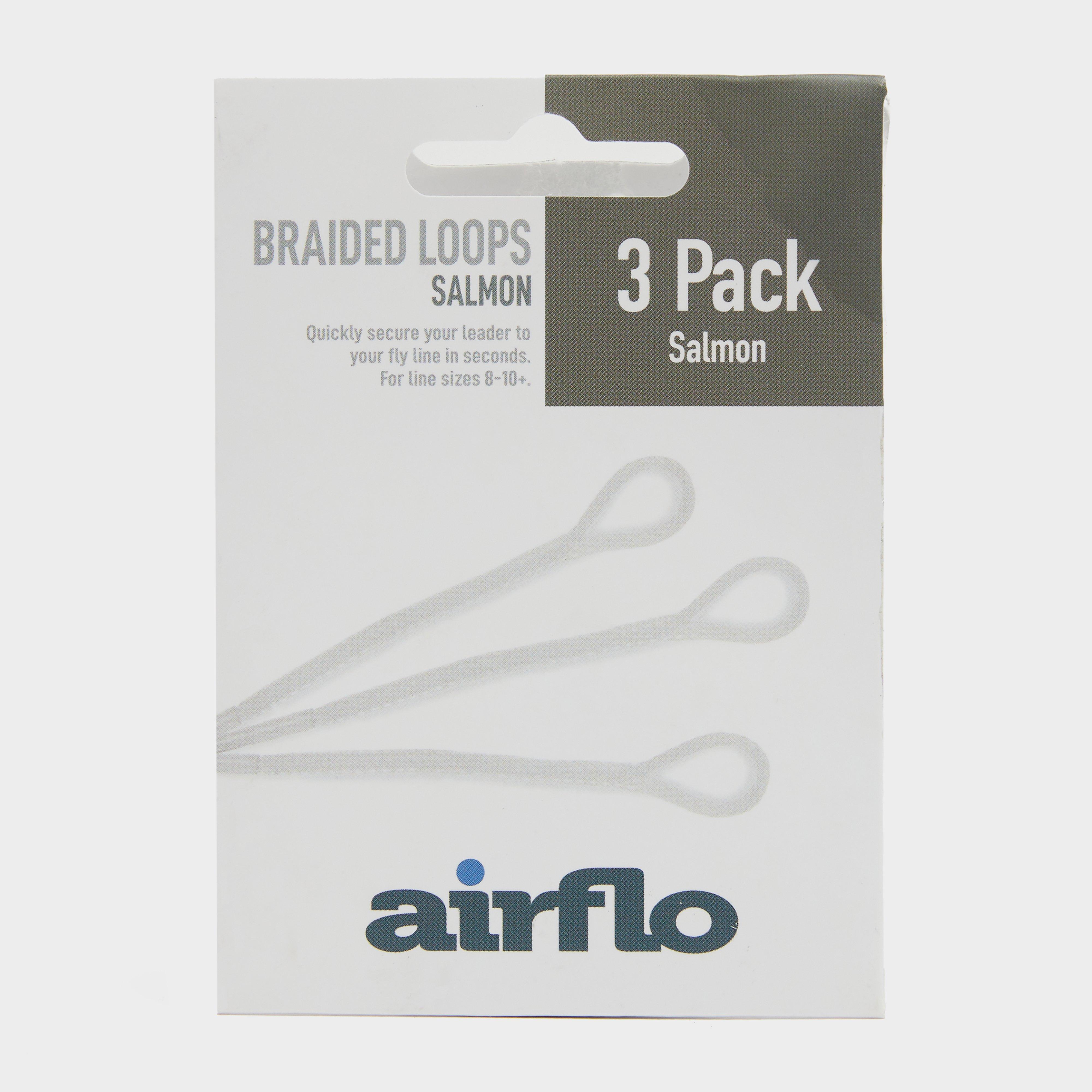
Airflo Ultra Salmon Loops 3 Pack - Multi, Salmon
· Ultra braided loops· Pre fitted with sleeves· Pack of 3· Colour: Multi· Product Code: UBLS3
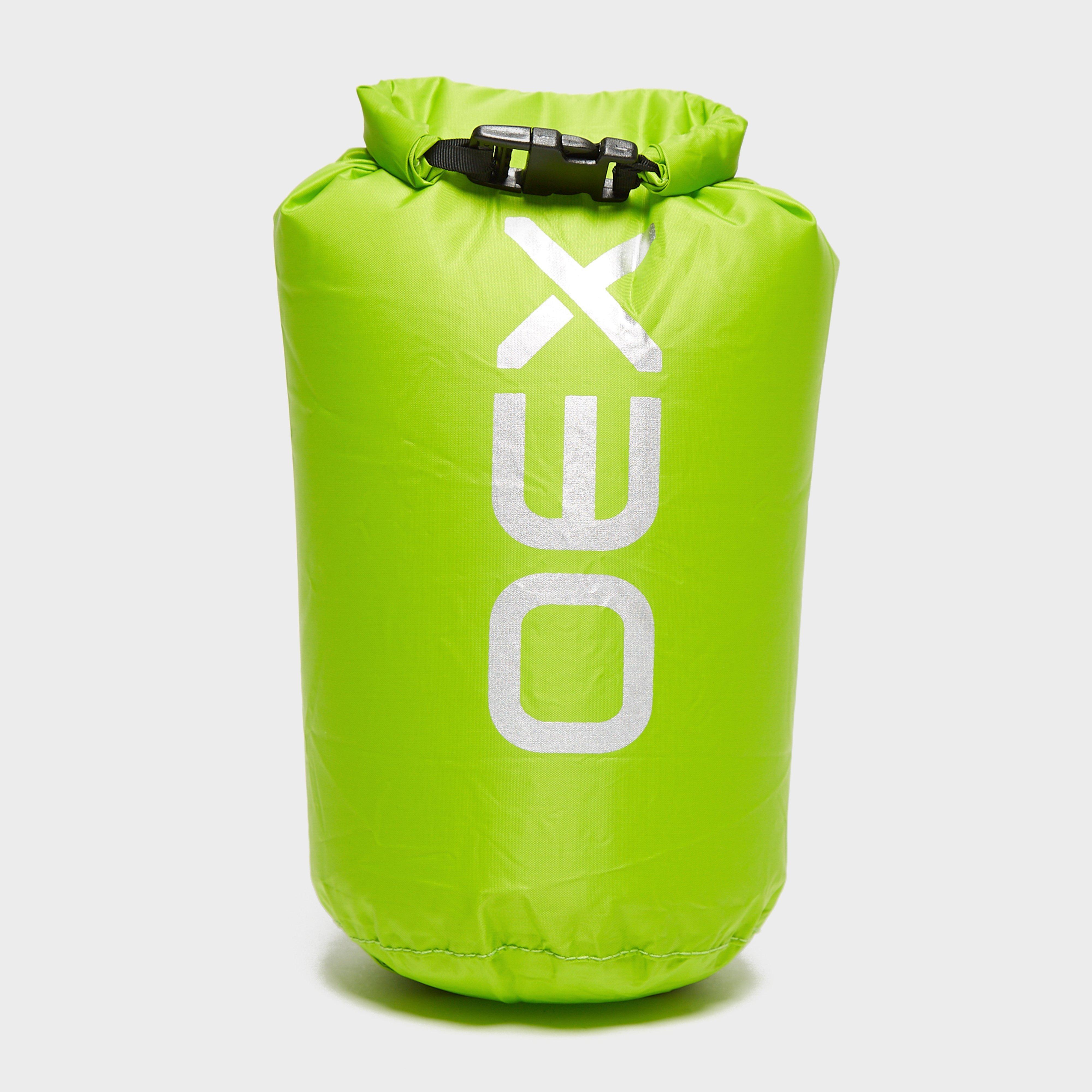
Roll top closure - protects your gear from getting wet in heavy rainHigh visibilityDo not submergeCapacity: 2 litresColour: lime
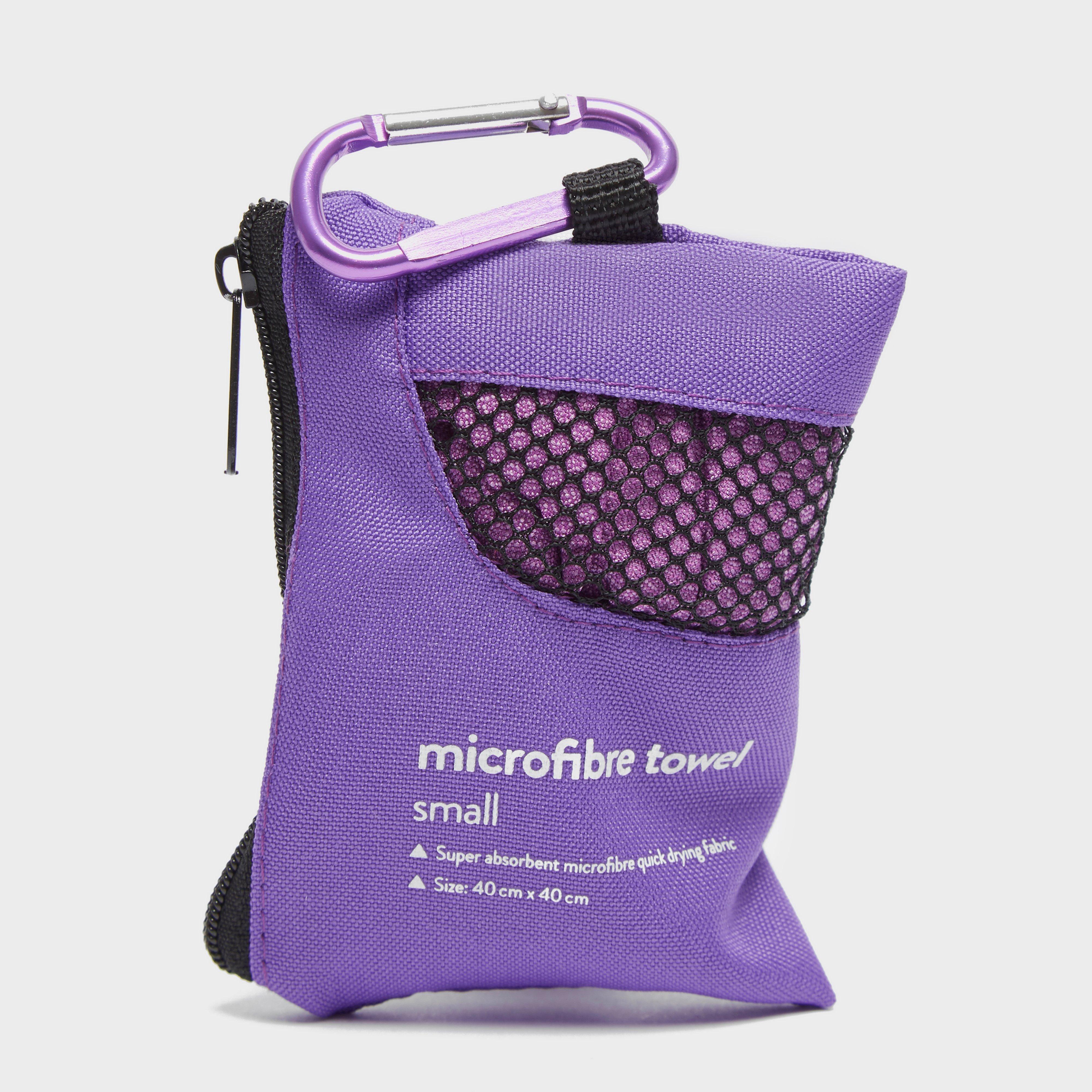
Eurohike Microfibre Mini Clip Towel (40X40Cm) - Purple, Purple
Quick dryingLightweightAnti-bacterialUltra-absorbentSuper softComes in its own travel pouch with carabiner
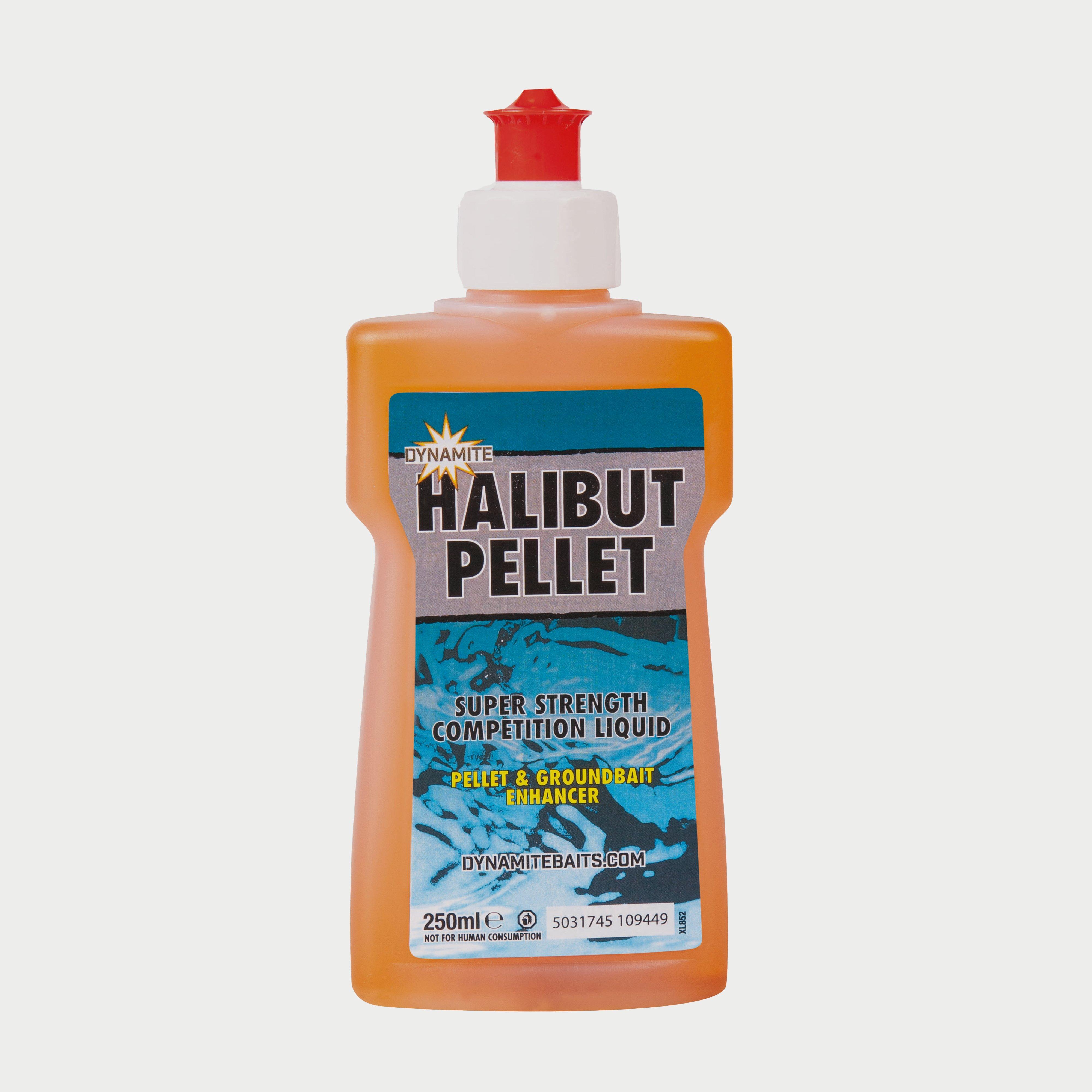
Dynamite Xl Liquid Halibut Pellet - Orange, Orange
"Our original XL liquid attractants offer the perfect boost for pellets, groundbait, maggots, corn or meat
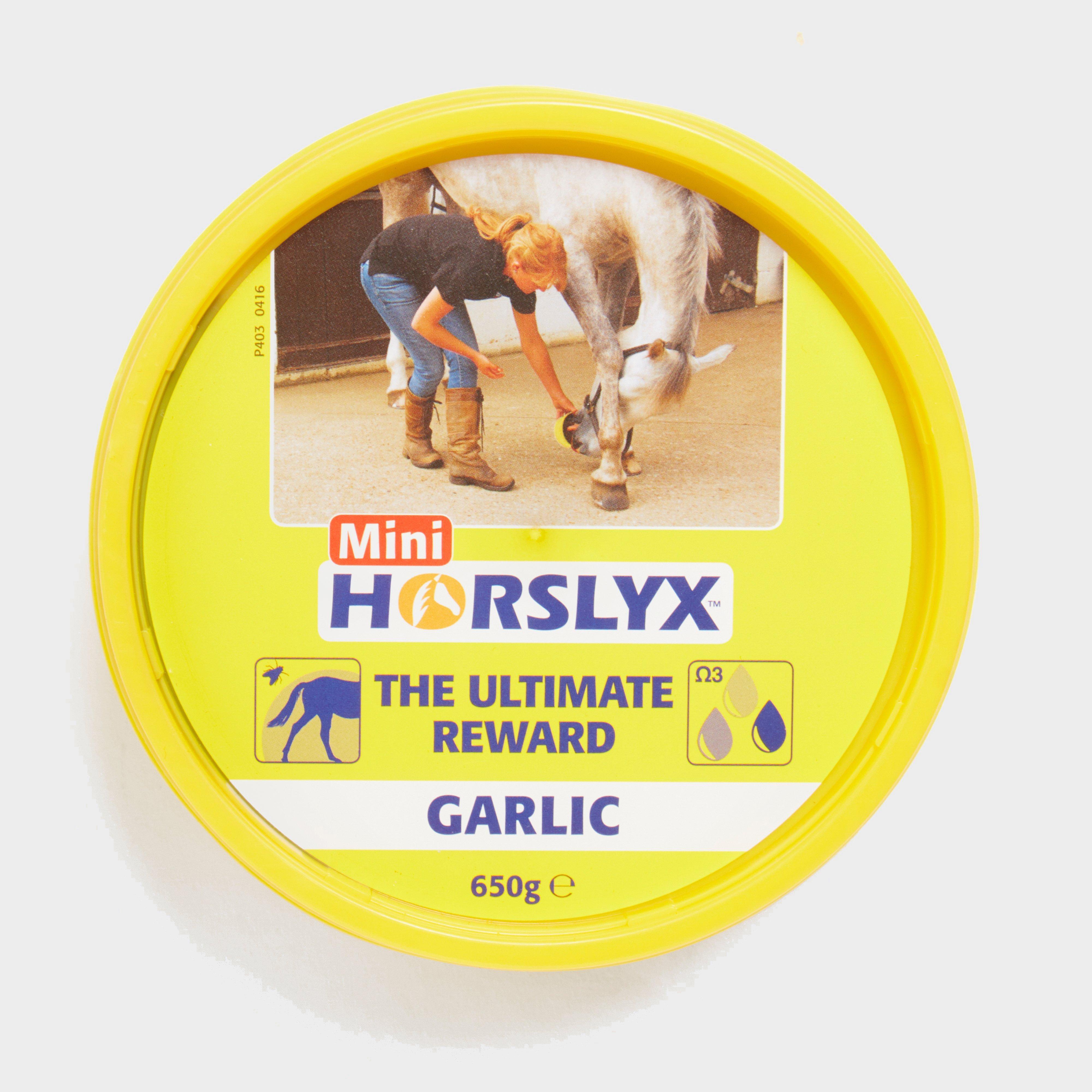
Horslyx Hosrlyx Mini Licks - Garlic, Garlic
Reward (or bribe!) your equine friend with a healthy alternative to sugar-laden treats. Mini Licks are perfect to have on-hand when you want to distract your horse during stressful activities such as farrier visits and clipping sessions.Healthy horse treatsHighly palatableNo artificial colours or preservativesGarlic...
Mainline Match Activated Carp Cell Pellets 6Mm - Multi, Multi
Sweet pellets that give you the edge in competitive waters.Mainline Match Activated Carp Cell Pellets are precision cut to size and give off a sweet taste that carp, skimmers and bream will go wild for. These pellets work well when used straight from the bag as feed or hookbait. Alternatively, you can...
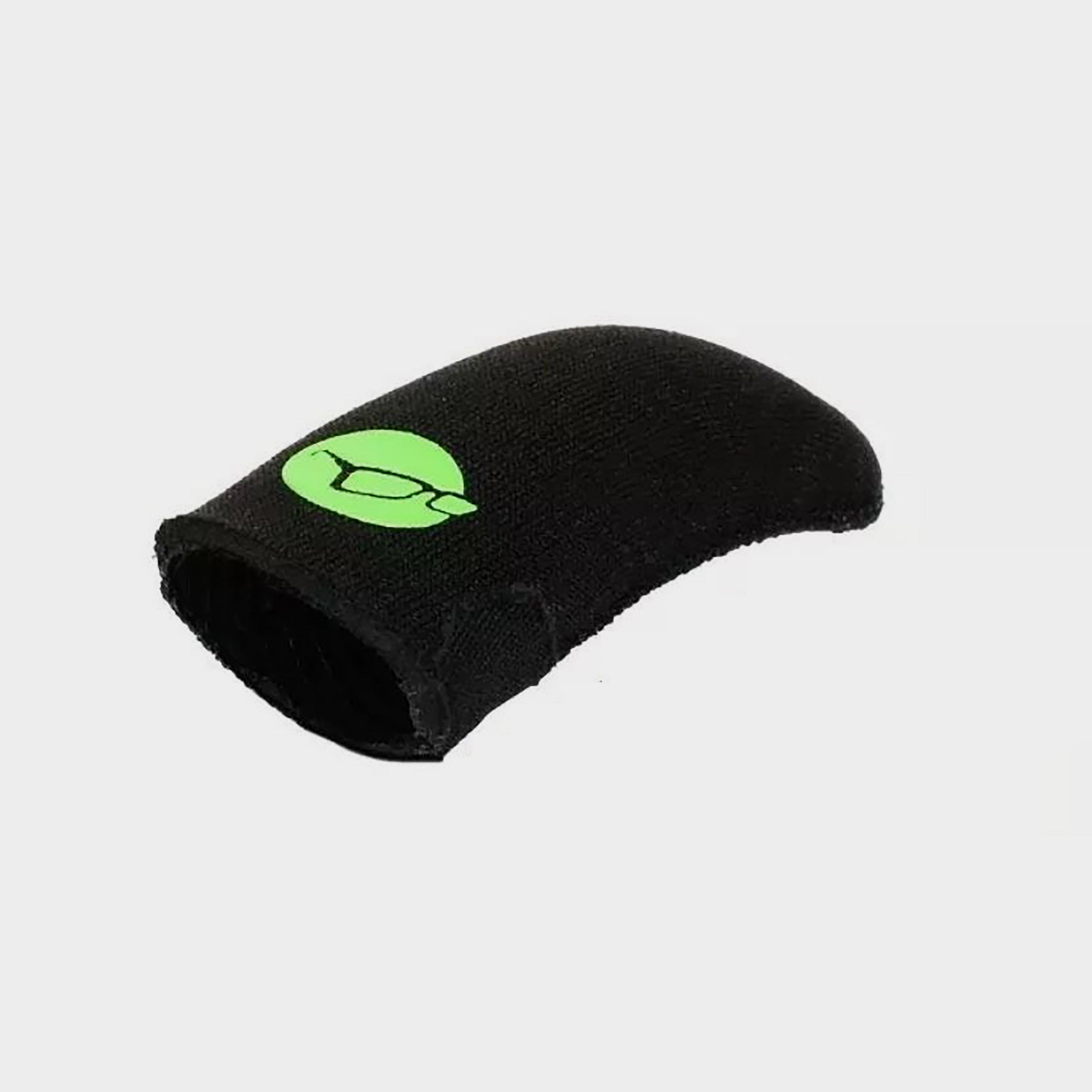
Korda Finger Stall Extra Large - Black, Black
Our neoprene finger stalls are streamlined, snug and offer unrivalled protection when going for the big cast, especially with braid.Style Code: KFSXL
Mainline Match Carp Cell Pellets 2Mm 1Kg - Brown, Brown
Available in a 1kg resealable bag, the Mainline Match Carp Cell Pellets 2mm send a stream of attractive food signals through the water- sending the fish into a total frenzy. If you would like to take the attraction to a whole new level, add these carp pellets to your tackle collection!Designed for the...
Mainline Match Carp Cell Pellets 4Mm 1Kg - Multi, Multi
Available in a 1kg resealable bag, the Mainline Match Carp Cell Pellets 4mm send a stream of attractive food signals through the water- sending the fish into a total frenzy. If you would like to take the attraction to a whole new level, add these carp pellets to your tackle collection!Designed for the...
Mainline Match Carp Cell Pellets 8Mm 1Kg - Brown, Brown
Sweet pellets that give you the edge in competitive waters.Mainline Match Activated Carp Cell Pellets are precision cut to size and give off a sweet taste that carp, skimmers and bream will go wild for. These pellets work well when used straight from the bag as feed or hookbait. Alternatively, you can...
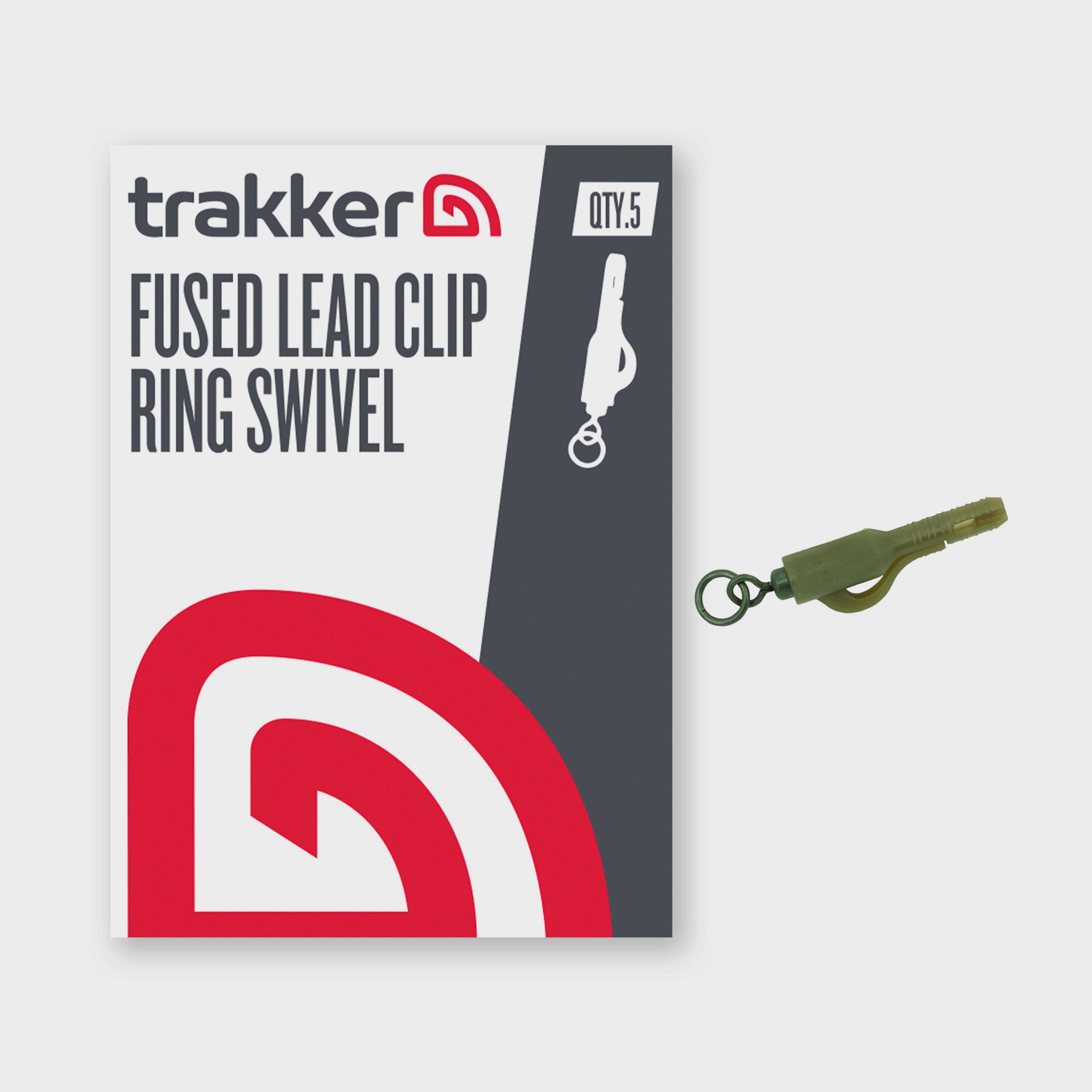
Trakker Sniper Fused Lead Clip Ring Swivel - Green, Green
The lead clips from Trakker are the perfect piece to add to your fishing tool kit. They're both flexible and able to easily eject lead when snagged making them a must have on your next trip to the water.Flexible lead arm easily ejects lead when snaggedCamouflage colourCompatible with Cygnet Tail RubbersPack...
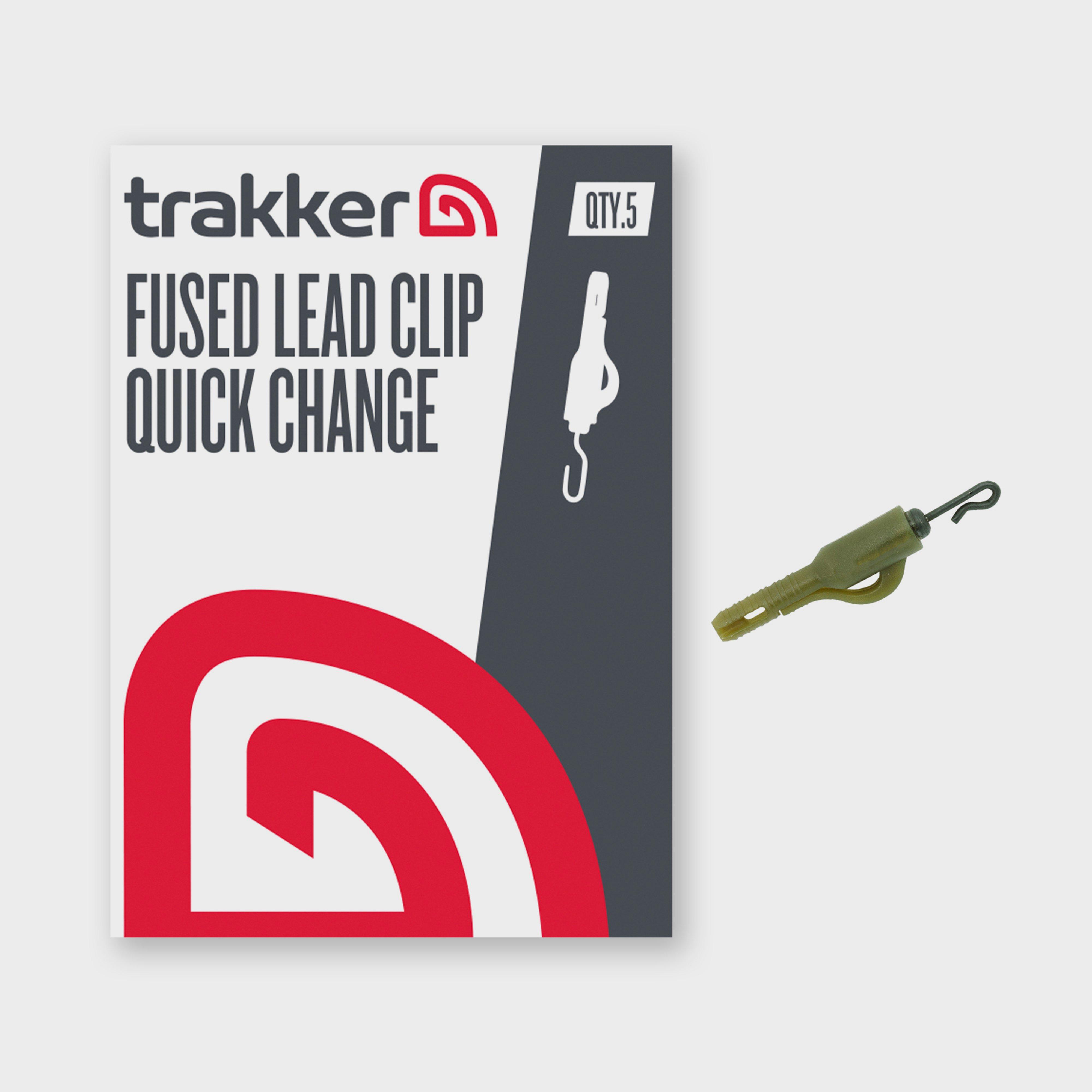
Trakker Fused Lead Clip Quick Change - Camouflage, Camouflage
Catch more, with ease. This innovative lead clip allows for swift and hassle-free rig changes - engineered for convenience and reliability. Its durable construction ensures secure attachment and reduces the risk of tangles, letting you focus on landing that prized catch. Designed specifically for carp...
Petface Woodland Critters - Small Fox, Small Fox
A fox or raccoon from these Petface Woodland Critters will be selected at random.Premium deep pile faux fur outerHead and tail squeakers** Pets should be supervised whilst playing with toys. Although Petface toys have been designed to be strong they are not indestructible and will be susceptible to chew...


