Continental Gas T-Connector - Silver, Silver
A T connector enabling you to make a 3-way junction with your gas hose. Always use in conjunction with jubilee clips, for a safe and secure connection. Perfect for your mobile home or gas stove.FeaturesGets gas flowing consistently T-shape
Grangers Rubber Boot Care - Clear, Clear
A spray-on product that restores the appearance of all your rubber footwear.Your wellies go through with a lot to you dry - rain, puddles, mud to name just a few. Show them some care with this restorative spray from Grangers. It's super-easy to use - just spray it on, wipe clean and leave to dry. Once...
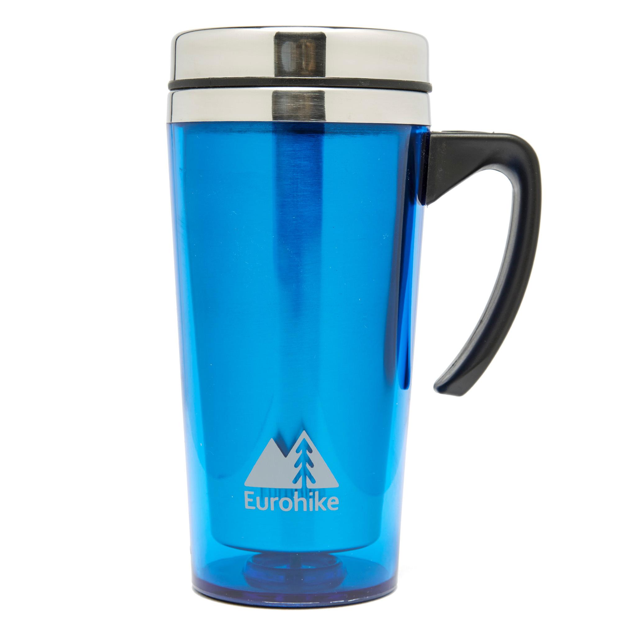
Eurohike Tall Insulated Mug - Blue, Blue
The Tall Insulated Mug is designed for in-car drinks holders and on the move, it has a lid with a sliding open/close position to prevent spills.Insulated mug - keeps hot drinks hot and cold drinks coldIdeal for camping or as an office desk mug Lid with sliding open/close position - prevents spillsStainless...
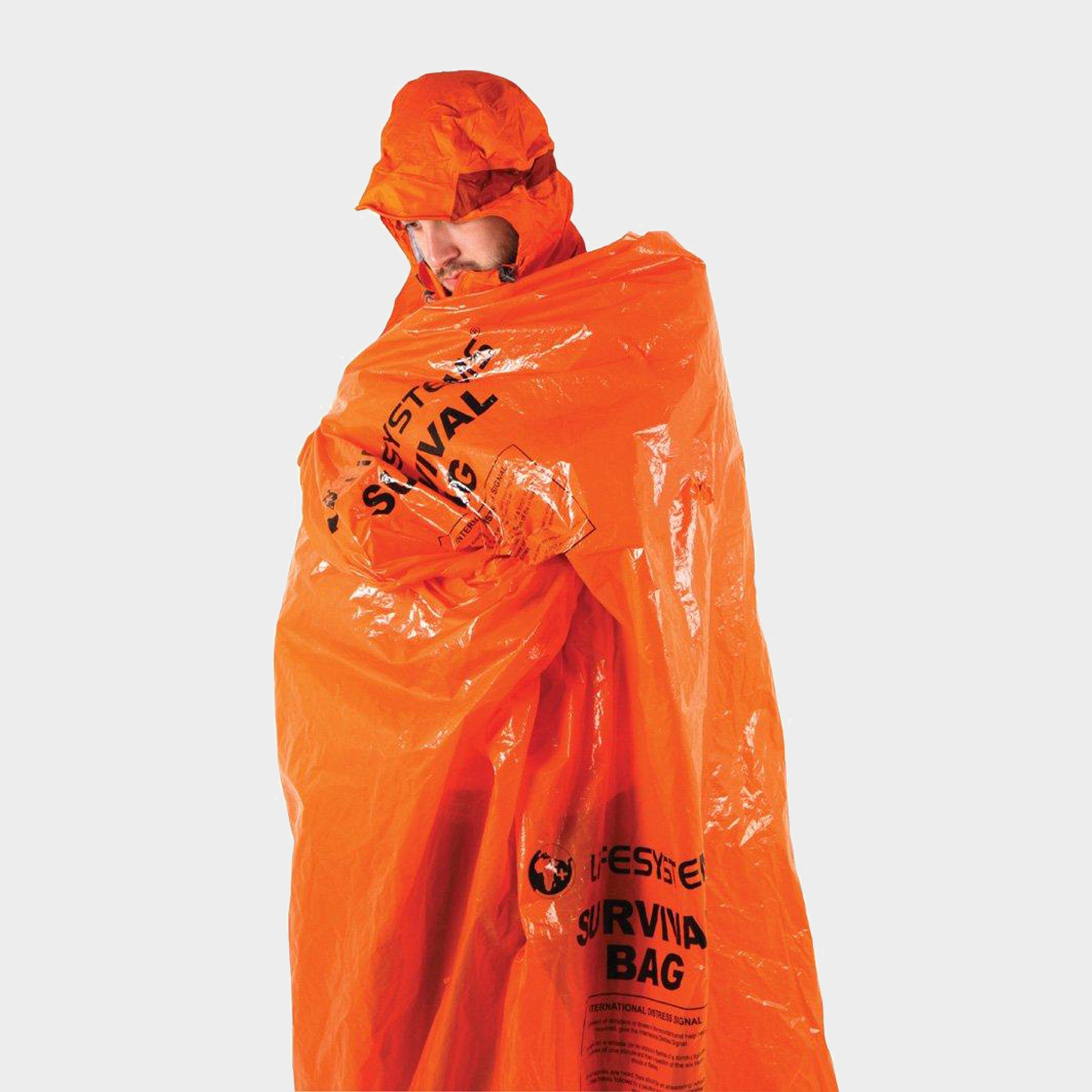
Lifesystems Survival Bag - Orange, Orange
As you pack your kit for a mountain expedition, make sure you're taking a Survival Bag from Lifesystems - it could literally be a lifesaver!If you're stranded and exposed, the Survival Bag will act as an emergency shelter, reducing heat loss from your body. Features Highly visible to alert others to...
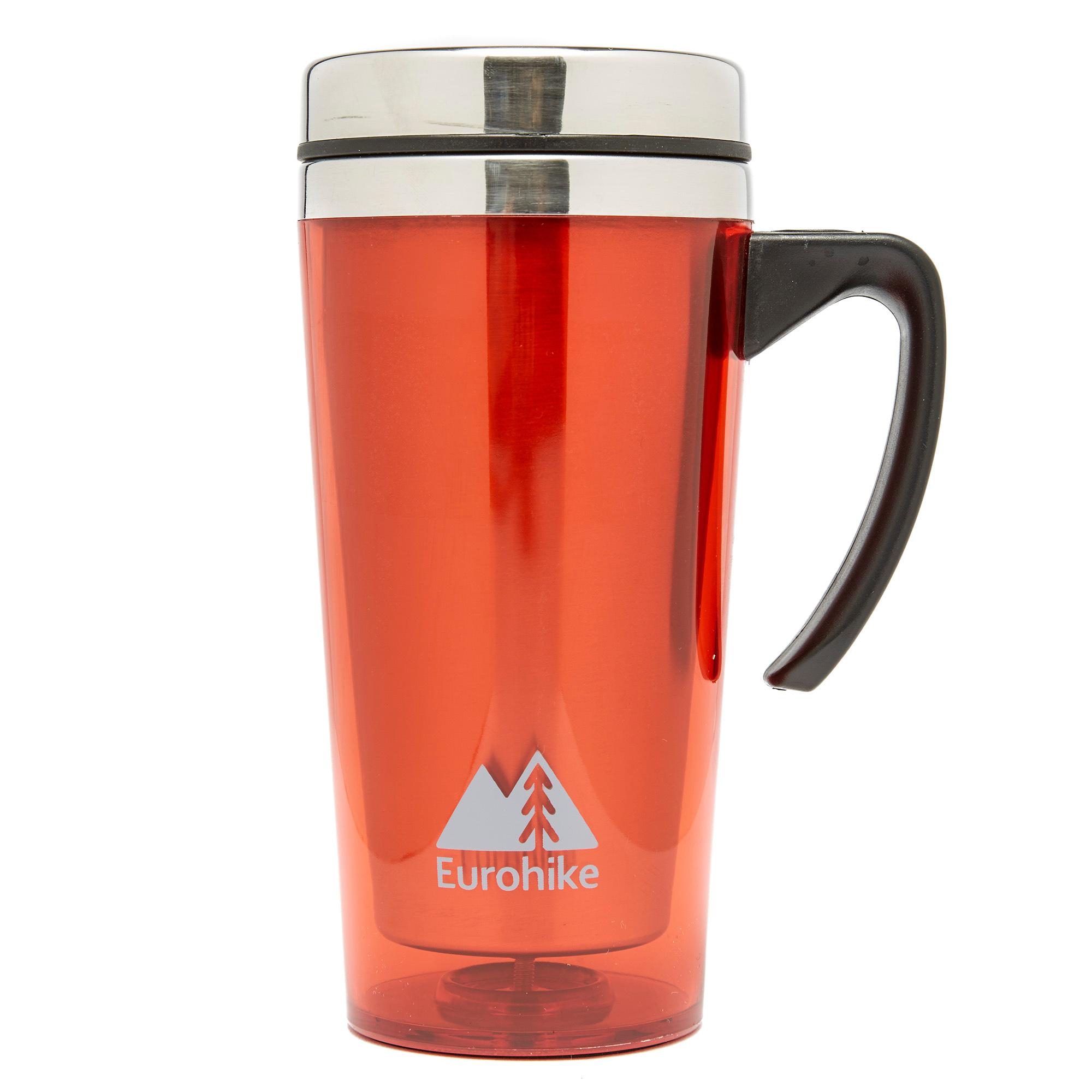
Eurohike Tall Insulated Mug Red 450Ml, Red
The Tall Insulated Mug is designed for in-car drinks holders and on the move, it has a lid with a sliding open/close position to prevent spills.Insulated mug - keeps hot drinks hot and cold drinks coldIdeal for camping or as an office desk mugLid with sliding open/close position - prevents spillsStainless...
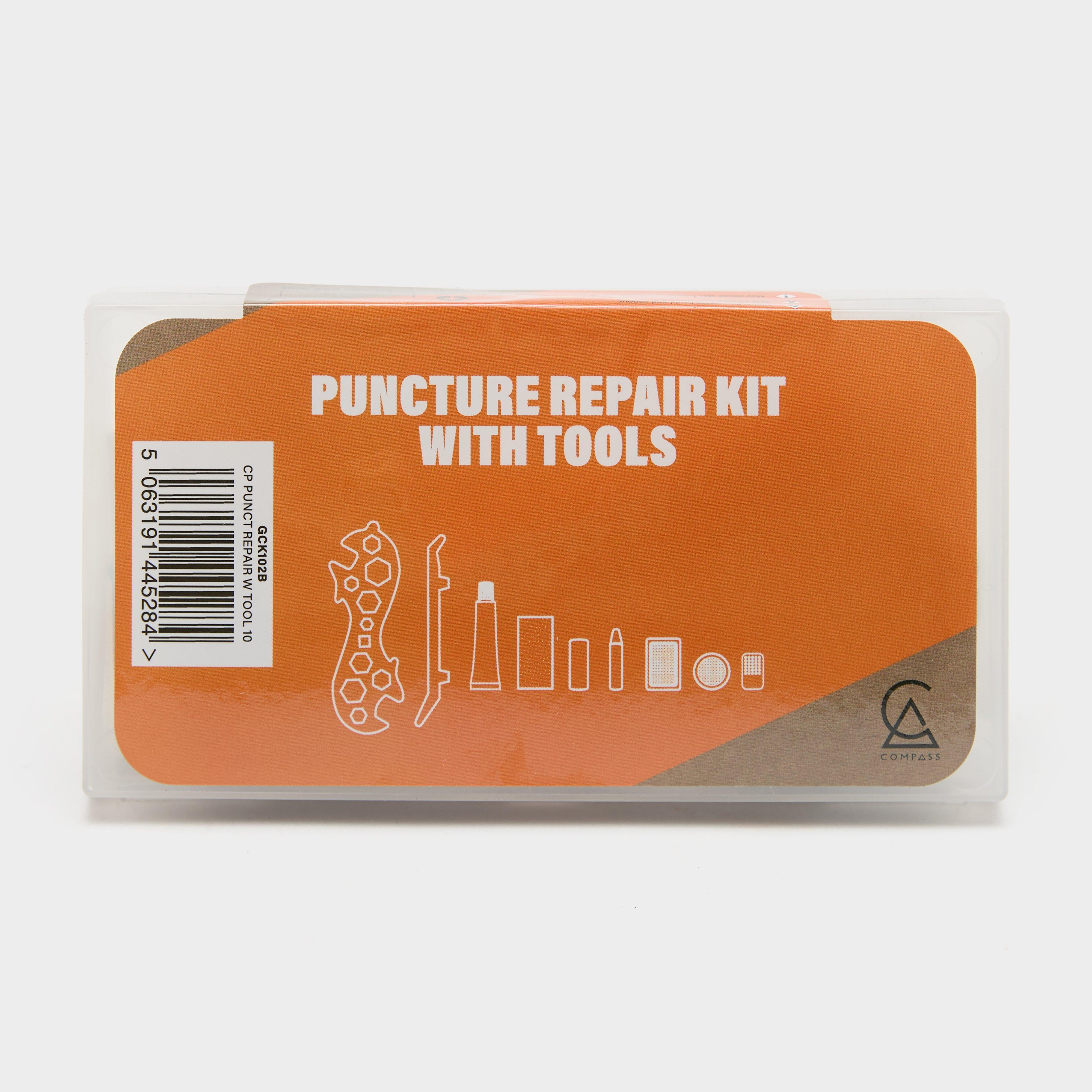
Compass Puncture Repair Kit With Tools - Orange, Orange
Each Pack Includes· 1 x multi tool· 3 x tyre levers· 1 x rubber solutions· 1 x sand paper· 1 x crayon· 1 x chalk· 2 x patches (34mm x 25mm)· 4 x patches (25mm x 25mm)· 1 x chalk grater· 1...
Mainline Match Activated Halibut Pellets 3Mm - Brown, Brown
Crafted with top-quality fishmeal and fish oils, the Match Activated Halibut Pellets offer a perfect blend of protein and high oil content. With their slow breakdown and high leakage, they provide extended attraction and continuous attractant release. Suitable for a wide range of species, including carp,...
Papermate Flexgrip Pens 5 Pack - Black, Black
With a rubberised barrel for long-lasting ease, these pens make extended writing sessions more comfortable. _Pack of 5Barrel Colour: GreyMedium 1.0mm tipColour: Black
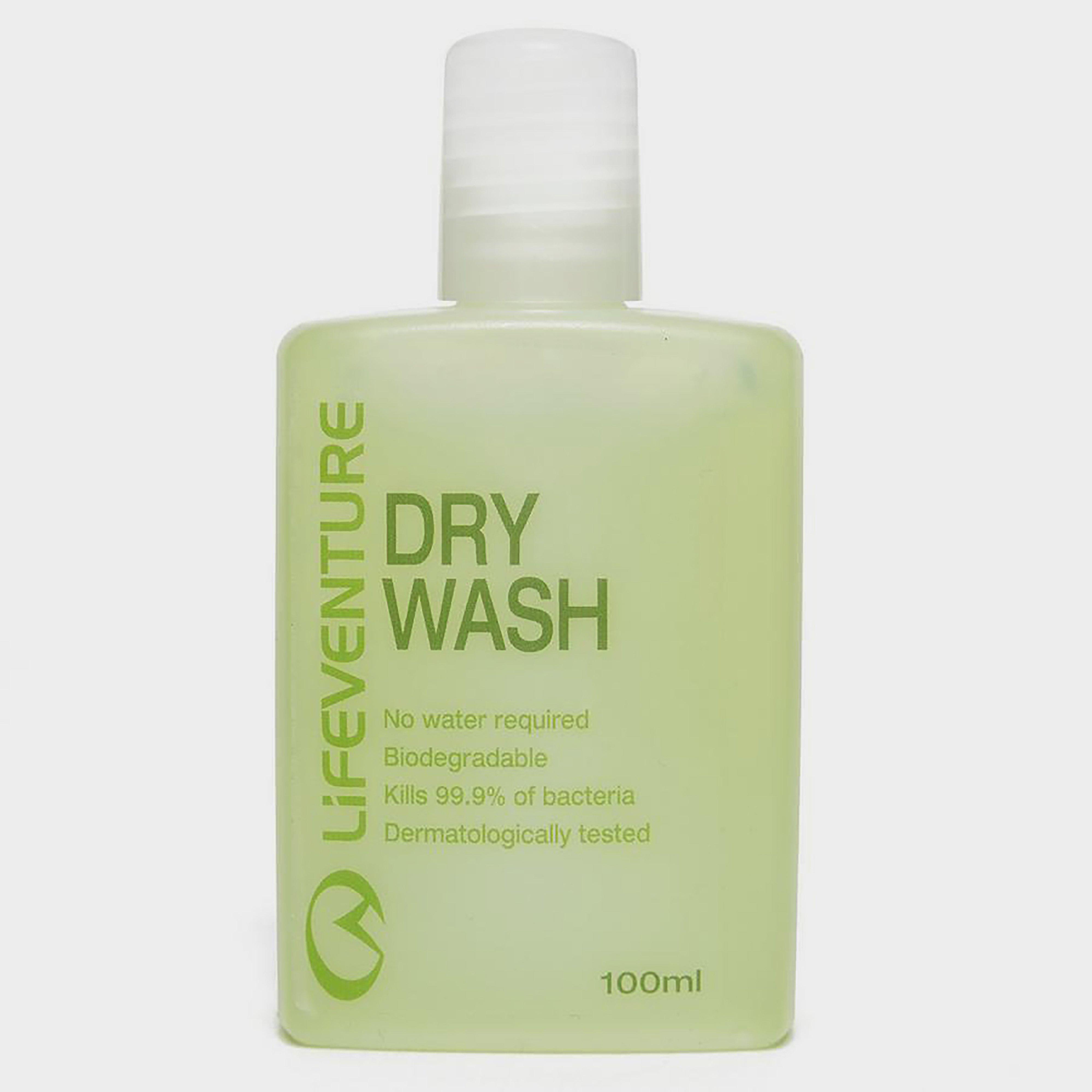
Lifeventure Dry Wash 100Ml - Green, Green
Effective dry hand wash from Life VentureAntibacterial formulaFlip-top lidBiodegradablepH balanced100ml capacityDofE Recommended Kit
Mainline Match Activated Halibut Pellets 6Mm - Brown, Brown
Crafted with top-quality fishmeal and fish oils, the Match Activated Halibut Pellets offer a perfect blend of protein and high oil content. With their slow breakdown and high leakage, they provide extended attraction and continuous attractant release. Suitable for a wide range of species, including carp,...
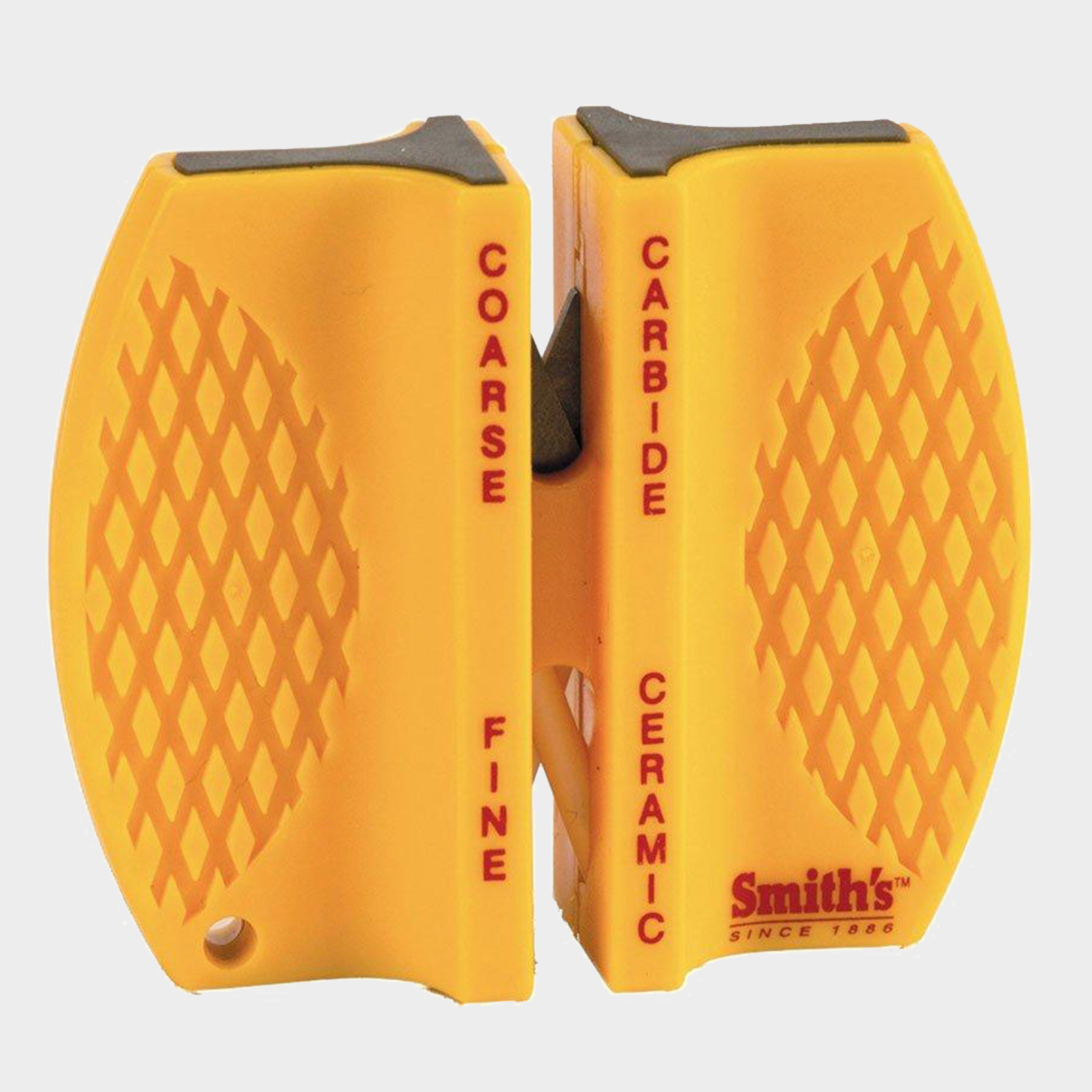
Whitby 2-Step Knife Sharpener - Orange, Orange
Just three or four strokes through the carbide sharpening slots of the Smith's 2-Step Knife Sharpener will restore the edge on a very dull knife. Its two crossed ceramic rods also have pre-set angles and provide a smooth finished edge to already sharp knives.It's lightweight, portable, comes with a lanyard...
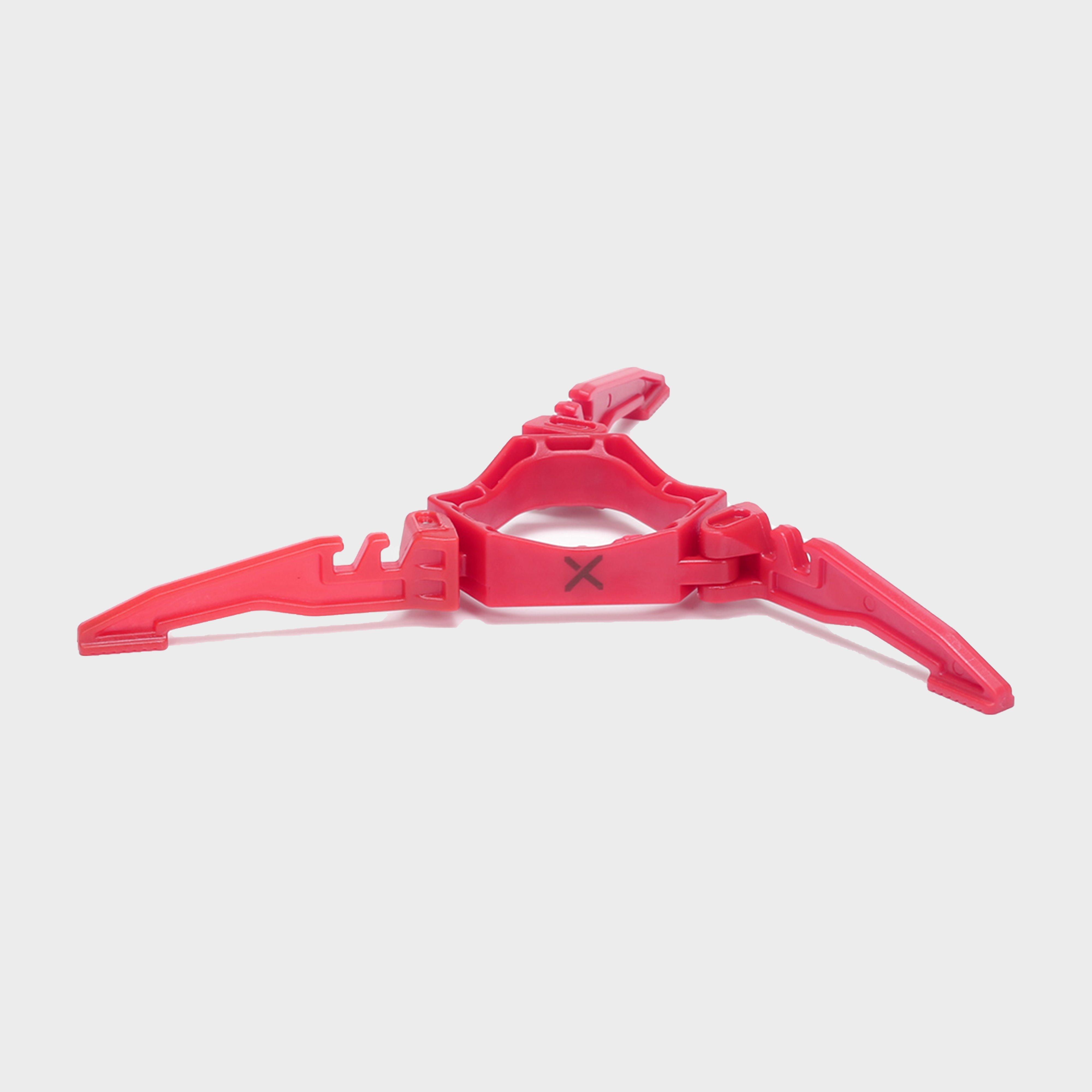
Oex Gas Canister Stabilising Stand - Red, Red
OEX understands that there's nothing better than getting out in the great outdoors and cooking up a storm with your camping stove. That's why we've designed the Gas Canister Stabilising Stand to provide you with the ultimate in reliability and safety while you cook. With its solid construction, this...
Daiwa Groundbait Allround - White, White
For any mixed fishery, large natural waters or when your just not sure All Round should be the go to choice. Carrying a proven proportion of fishmeal and other key ingredients to deliver a versatile pole or feeder mix for bream, roach, hybrids, carp and F1 s. Also ideal as a base for another mix to tailor...


