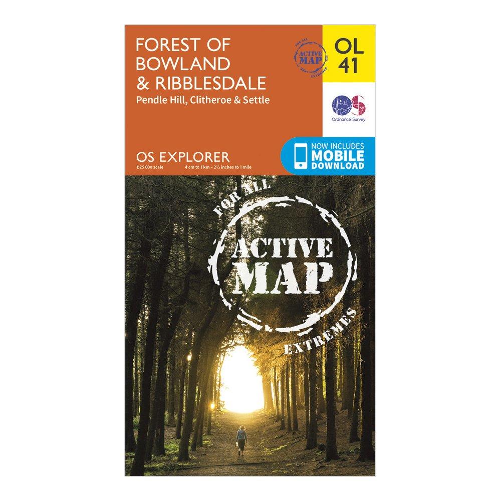
Ordnance Survey Explorer Ol 41 Active D Forest Of Bowland Map, D
Detailed and easy to read map from Ordnance SurveyScale: 1:25,000Covers the Forest of Bowland, Yorkshire Dales National Park, Clitheroe, Settle, Lancaster, Ribble Way, Wyre Way, Lune Valley Ramble and Pendle WayIncludes mobile download of map for use on your smartphoneShows tourist information points,...
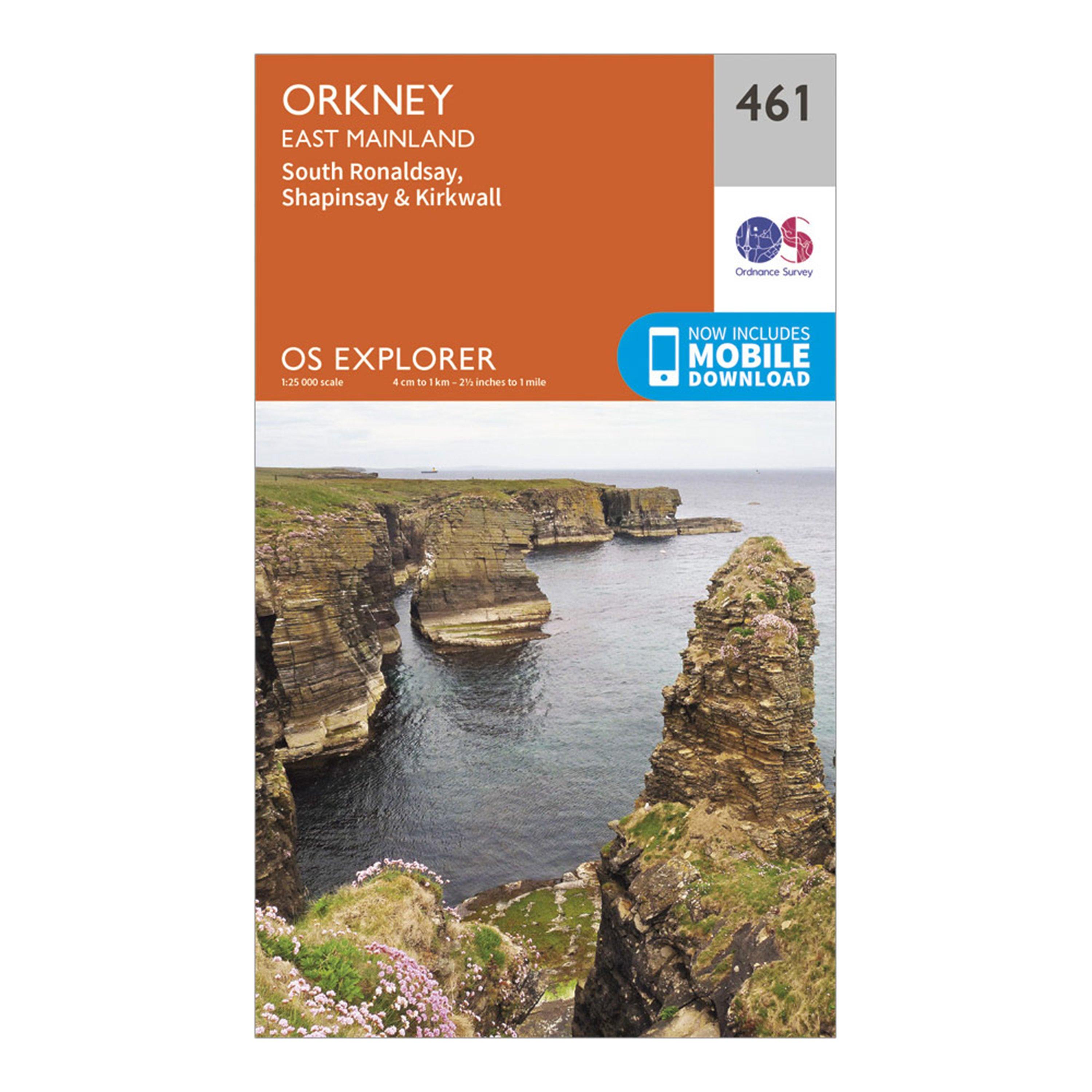
Ordnance Survey Explorer 461 Orkney - East Mainland Map With Digital Version - Orange, Orange
Providing complete GB coverage, the OS Explorer map series details information essential in the great outdoors, including youth hostels, pubs and visitor information. Rights of way, fences, permissive paths and bridleways are clearly shown, ensuring you have the best information to get the most out of...
Providing complete GB coverage, the OS Explorer map series details information essential in the great outdoors, including youth hostels, pubs and visitor information. Rights of way, fences, permissive paths and bridleways are clearly shown, ensuring you have the best information to get the most out of...
Providing complete GB coverage, the OS Explorer map series details information essential in the great outdoors, including youth hostels, pubs and visitor information. Rights of way, fences, permissive paths and bridleways are clearly shown, ensuring you have the best information to get the most out of...
This map comes with a digital version which you can download to your smartphone or tablet.Go to OS.uk/redeem for more details (terms and conditions apply).Scratch off the panel on the inside cover of the map to reveal a code, you are then just three easy steps away from downloading your digital map.If...
Ordnance Survey Explorer 331 Teviotdale South Map With Digital Version - Orange, Orange
Providing complete GB coverage, the OS Explorer map series details information essential in the great outdoors, including youth hostels, pubs and visitor information. Rights of way, fences, permissive paths and bridleways are clearly shown, ensuring you have the best information to get the most out of...
Ordnance Survey Landranger Active 115 Snowdon & Caernarfon Map With Digital Version - Pink, Pink
The OS Landranger Map Active is tough, durable and weatherproof. The maps are covered in a lightweight protective plastic coating that can be written on, so your favourite routes can be easily highlighted._This map comes with a digital version which you can download to your smartphone or tablet._Go...
Ordnance Survey Explorer Ol55 Loch Laggan & Creag Meagaidh Map With Digital Version - Orange, Orange
Providing complete GB coverage, the OS Explorer map series details information essential in the great outdoors, including youth hostels, pubs and visitor information. Rights of way, fences, permissive paths and bridleways are clearly shown, ensuring you have the best information to get the most out of...
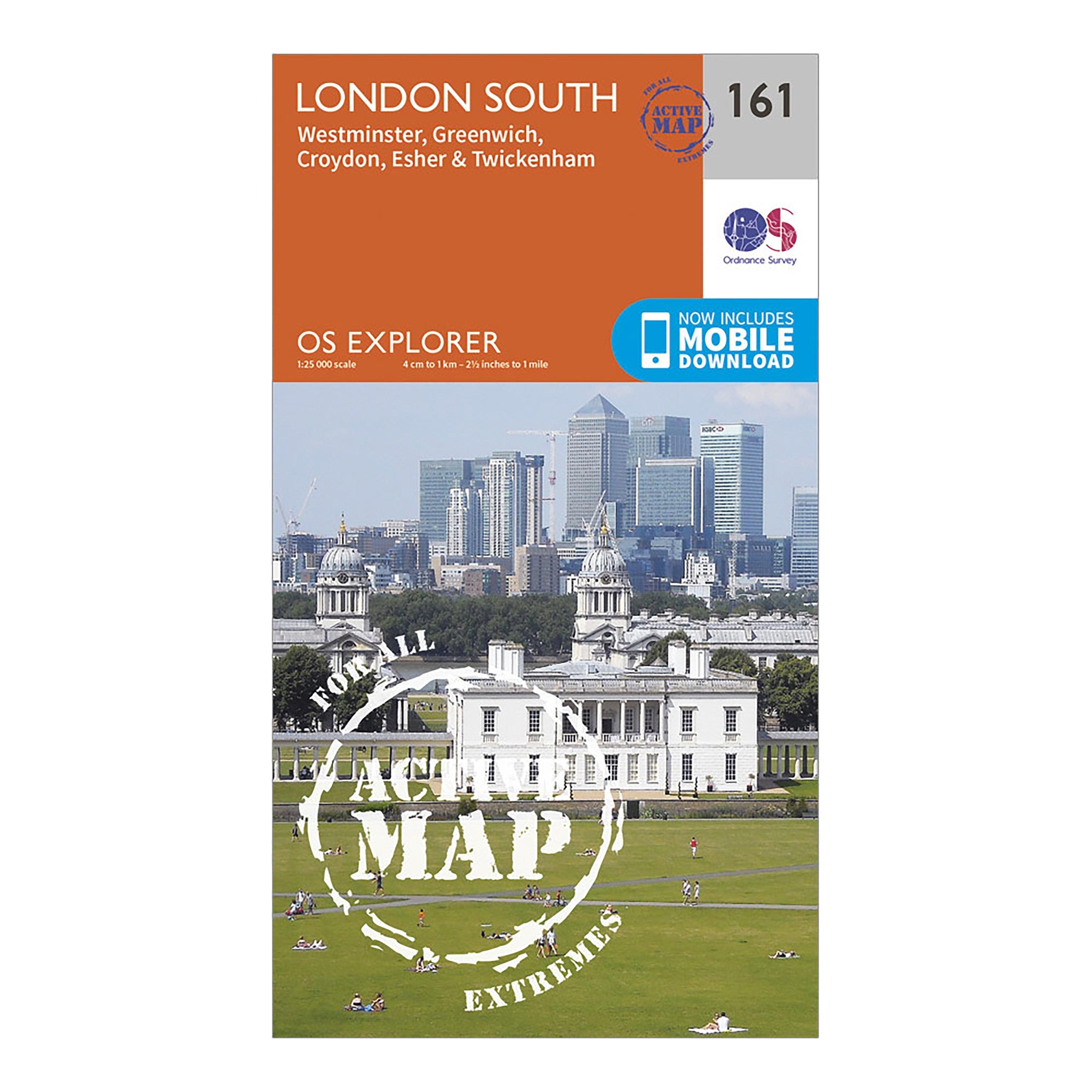
Ordnance Survey Explorer Active 161 London South Map With Digital Version - Orange, Orange
Providing complete GB coverage, the OS Explorer map series details information essential in the great outdoors, including youth hostels, pubs and visitor information. Rights of way, fences, permissive paths and bridleways are clearly shown, ensuring you have the best information to get the most out of...
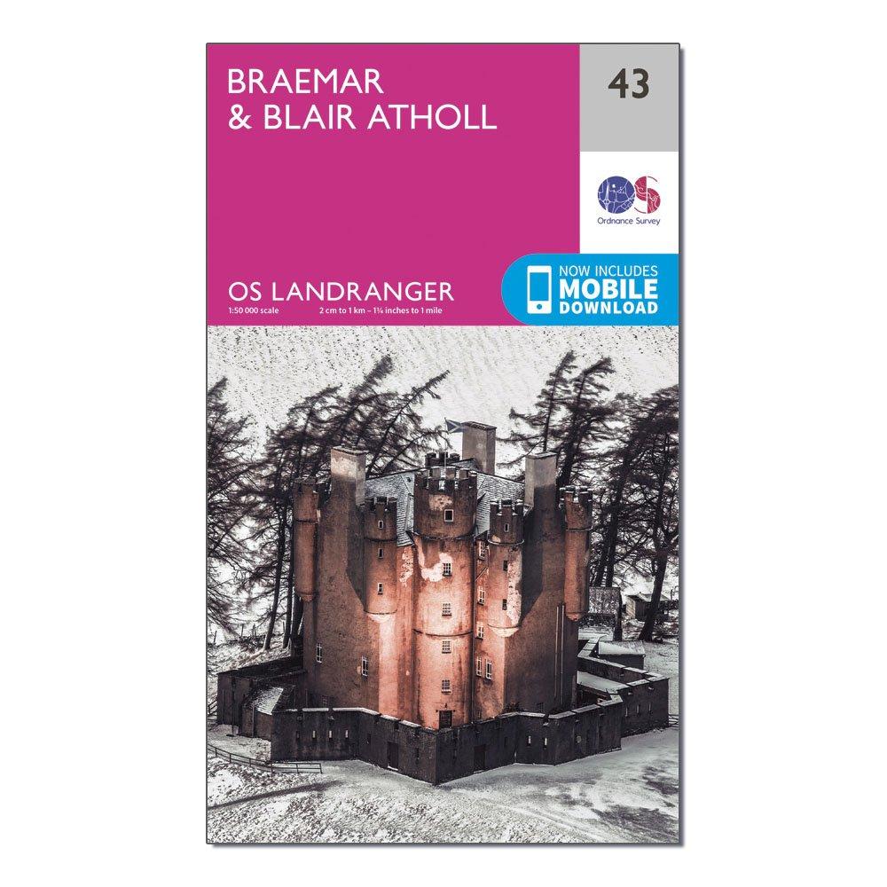
Ordnance Survey Landranger 43 Braemar & Blair Atholl Map With Digital Version, D
This map comes with a digital version which you can download to your smartphone or tablet.Go to OS.uk/redeem for more details (terms and conditions apply).Scratch off the panel on the inside cover of the map to reveal a code, you are then just three easy steps away from downloading your digital map.If...
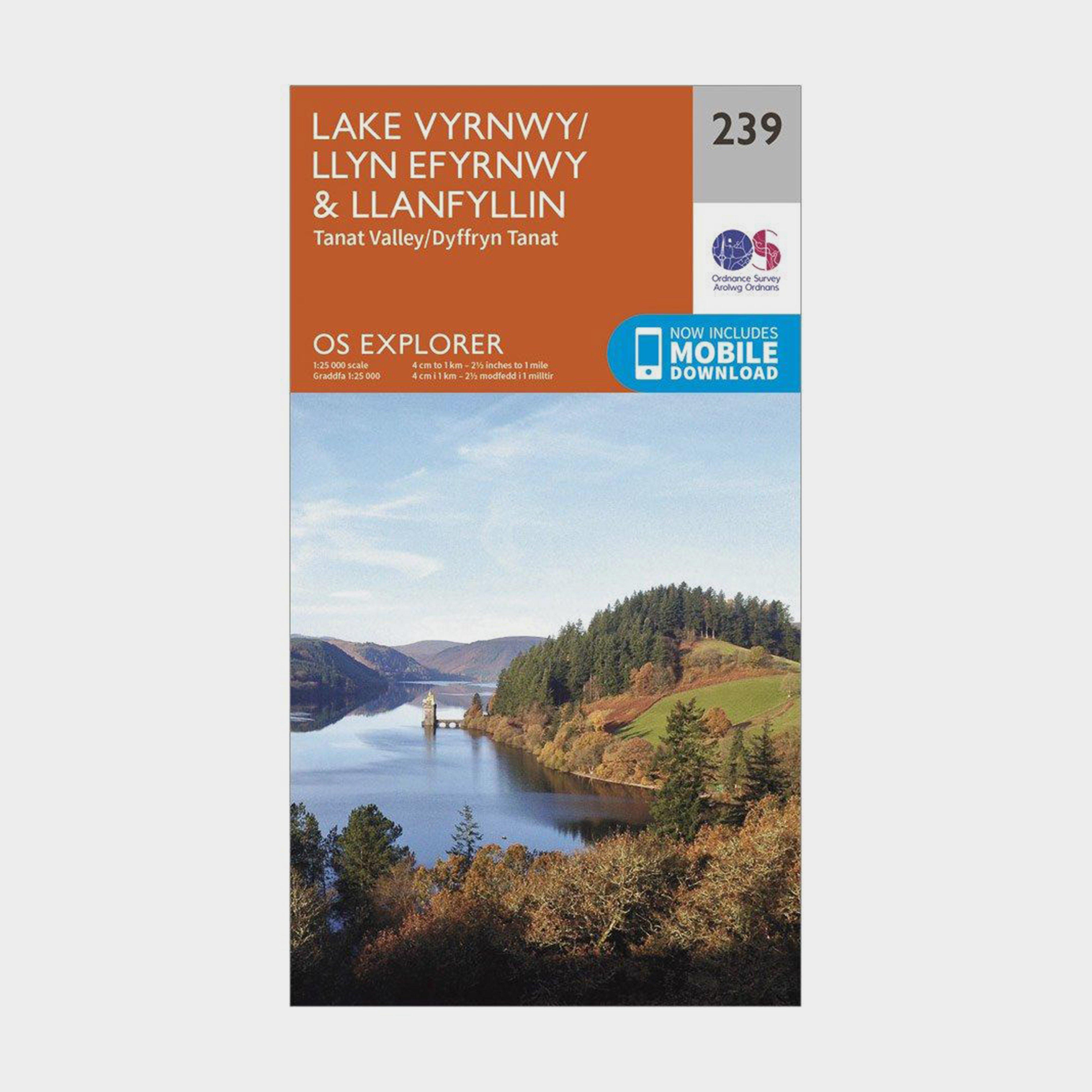
Ordnance Survey Explorer 239 Lake Vyrnwy & Llanfyllin Map With Digital Version - Orange, Orange
Providing complete GB coverage, the OS Explorer map series details information essential in the great outdoors, including youth hostels, pubs and visitor information. Rights of way, fences, permissive paths and bridleways are clearly shown, ensuring you have the best information to get the most out of...
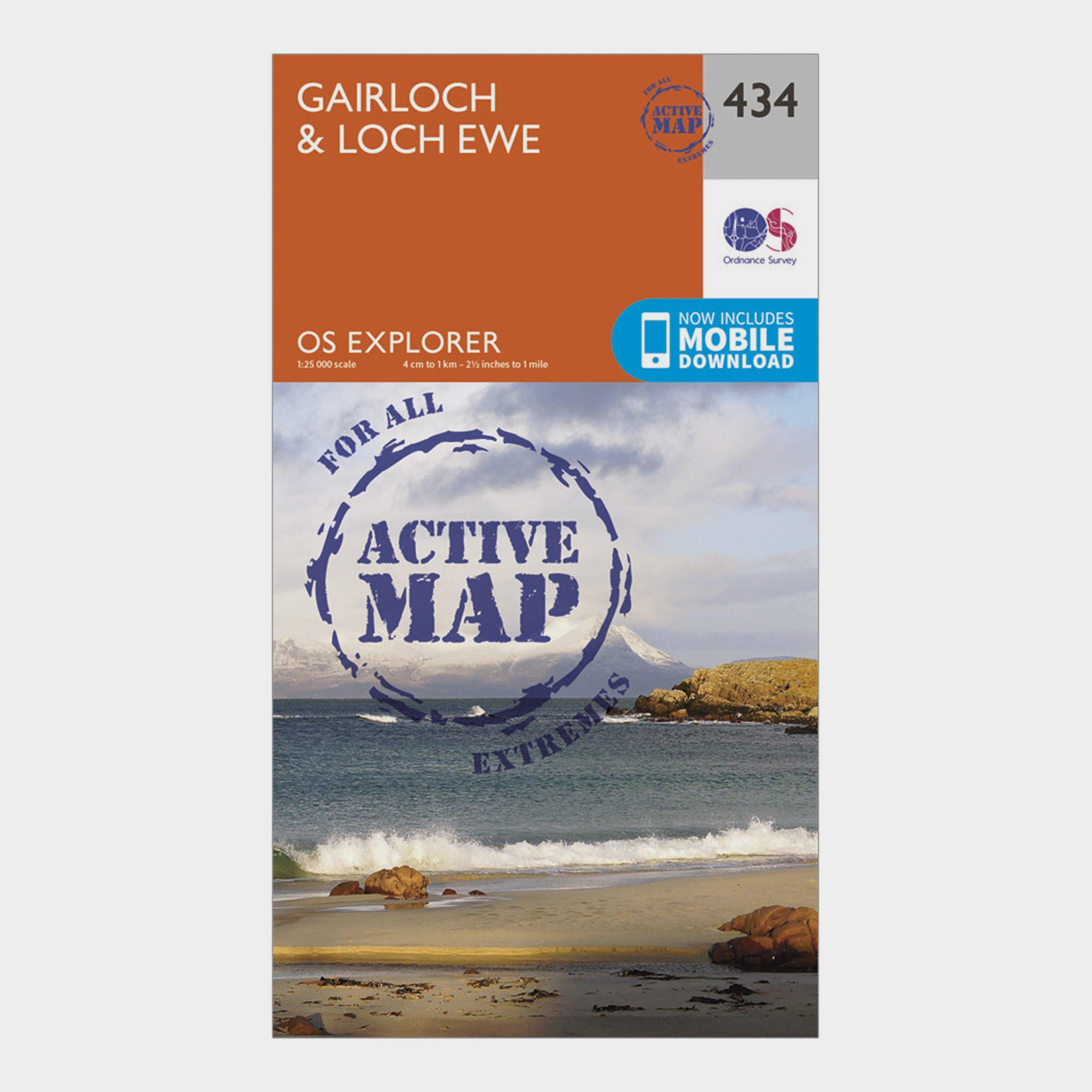
Ordnance Survey Explorer Active 434 Gairloch & Loch Ewe Map With Digital Version - Orange, Orange
Providing complete GB coverage, the OS Explorer map series details information essential in the great outdoors, including youth hostels, pubs and visitor information. Rights of way, fences, permissive paths and bridleways are clearly shown, ensuring you have the best information to get the most out of...

Ordnance Survey Snowdonia Micro Towel - Orange, ORANGE
Soft fibre fabricLightweight, ultra-compact, and highly absorbentTreated with Polygene permanent odour controlDries 8x faster than a standard beach towelAbsorbs 9 x its own weight in waterComes in a tough ripstop carry bagSnowdonia Map DesignSize: 37cm x 37cmWash separately at 40 degrees; do not iron,...
Providing complete GB coverage, the OS Explorer map series details information essential in the great outdoors, including youth hostels, pubs and visitor information. Rights of way, fences, permissive paths and bridleways are clearly shown, ensuring you have the best information to get the most out of...
Providing complete GB coverage, the OS Explorer map series details information essential in the great outdoors, including youth hostels, pubs and visitor information. Rights of way, fences, permissive paths and bridleways are clearly shown, ensuring you have the best information to get the most out of...