This map comes with a digital version which you can download to your smartphone or tablet.Go to OS.uk/redeem for more details (terms and conditions apply).Scratch off the panel on the inside cover of the map to reveal a code, you are then just three easy steps away from downloading your digital map.If...
Ordnance Survey Explorer 235 Wisbech & Peterborough North Map With Digital Version - Orange, Orange
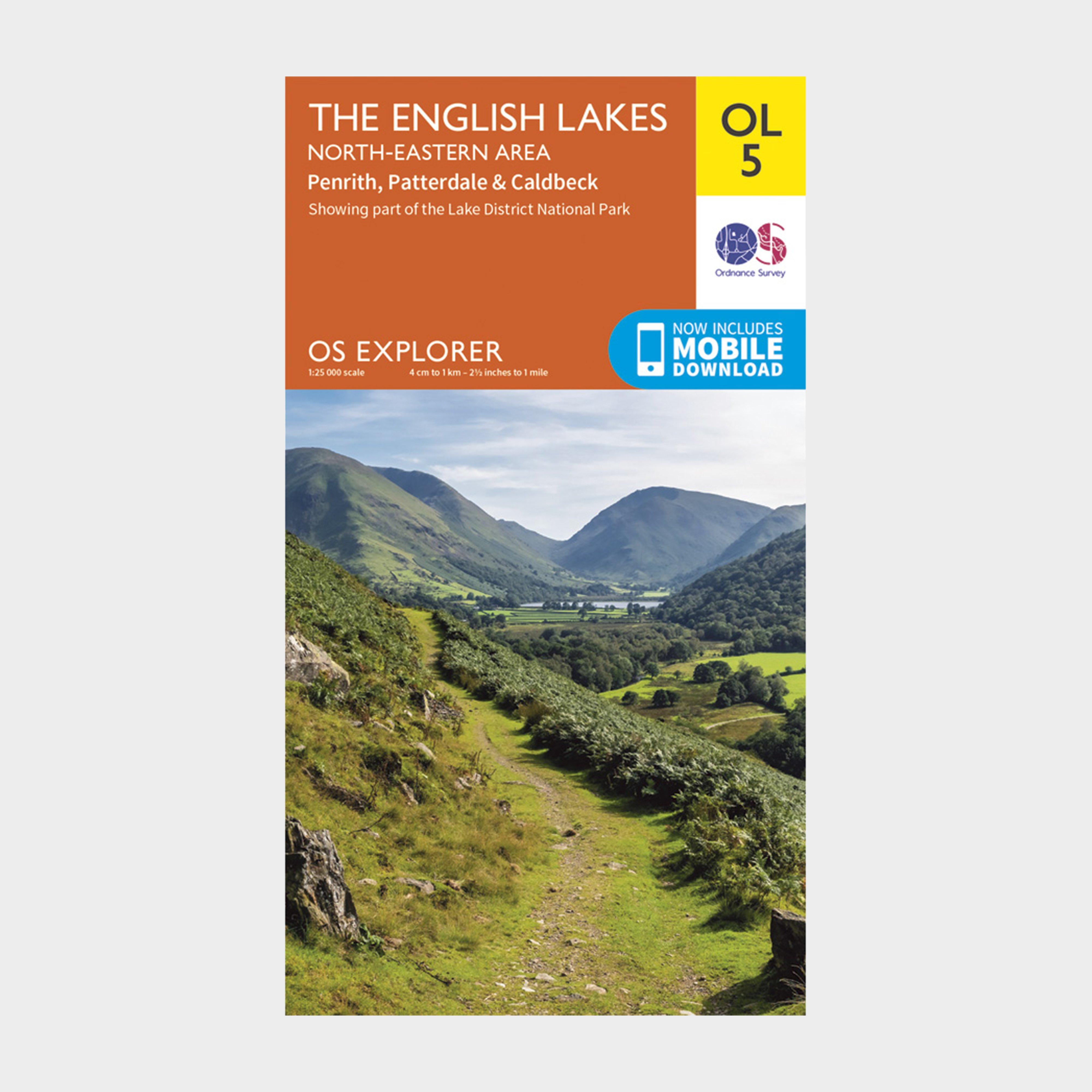
Providing complete GB coverage, the OS Explorer map series details information essential in the great outdoors, including youth hostels, pubs and visitor information. Rights of way, fences, permissive paths and bridleways are clearly shown, ensuring you have the best information to get the most out of...
Ordnance Survey Explorer 337 Peebles & Interleithen Map With Digital Version - Orange, Orange
Providing complete GB coverage, the OS Explorer map series details information essential in the great outdoors, including youth hostels, pubs and visitor information. Rights of way, fences, permissive paths and bridleways are clearly shown, ensuring you have the best information to get the most out of...

Ordnance Survey Landranger 128 Derby & Burton Upon Trent Map With Digital Version - Pink, Pink
This map comes with a digital version which you can download to your smartphone or tablet.Go to OS.uk/redeem for more details (terms and conditions apply).Scratch off the panel on the inside cover of the map to reveal a code, you are then just three easy steps away from downloading your digital map.If...
Ordnance Survey Explorer 166 Rhondda & Merthyr Tydfil Map With Digital Version - Orange, Orange
Providing complete GB coverage, the OS Explorer map series details information essential in the great outdoors, including youth hostels, pubs and visitor information. Rights of way, fences, permissive paths and bridleways are clearly shown, ensuring you have the best information to get the most out of...
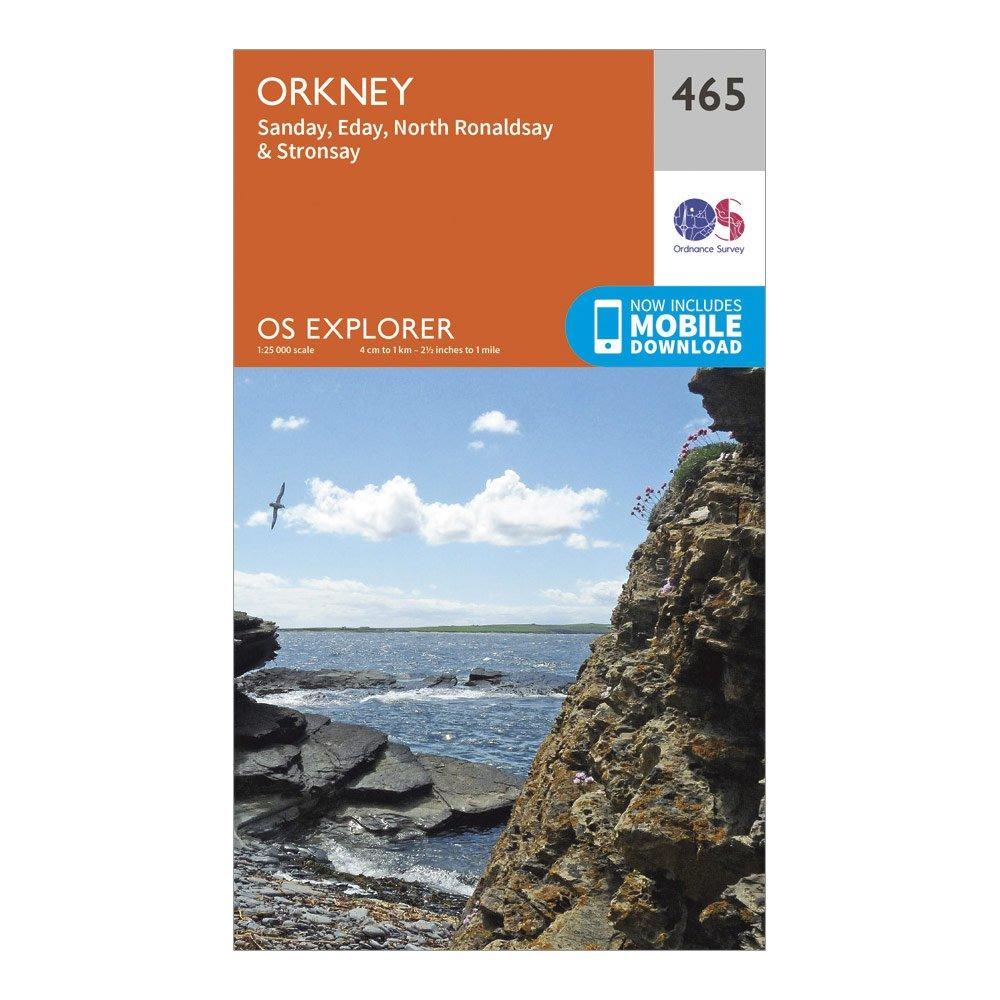
Ordnance Survey Explorer 465 Orkney Map With Digital Version - Orange, Orange
Providing complete GB coverage, the OS Explorer map series details information essential in the great outdoors, including youth hostels, pubs and visitor information. Rights of way, fences, permissive paths and bridleways are clearly shown, ensuring you have the best information to get the most out of...

Ordnance Survey Landranger 38 Aberdeen Map - Pink, Pink
This map comes with a digital version which you can download to your smartphone or tablet.Go to OS.uk/redeem for more details (terms and conditions apply).Scratch off the panel on the inside cover of the map to reveal a code, you are then just three easy steps away from downloading your digital map.If...
Providing complete GB coverage, the OS Explorer map series details information essential in the great outdoors, including youth hostels, pubs and visitor information. Rights of way, fences, permissive paths and bridleways are clearly shown, ensuring you have the best information to get the most out of...
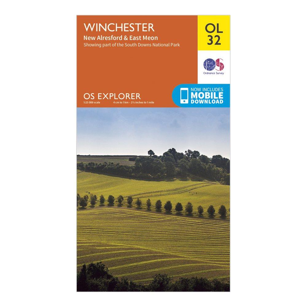
Ordnance Survey Explorer Ol 32 Winchester, New Alresford & East Meon Map - Orange, Orange
FeaturesSouth DownsSouth Downs WayWayfarer's WalkClarendon WayThree Castles PathOxdrove WayItchen WayMonarch's Way (Book 3)Kings WayPilgrim's TrailSouth Downs Way (National Trail)HampshireEastleighWinchester1:25 000 scale (4 cm to 1 km - 2.5 inches to 1 mile)This map comes with a digital version which...
Providing complete GB coverage, the OS Explorer map series details information essential in the great outdoors, including youth hostels, pubs and visitor information. Rights of way, fences, permissive paths and bridleways are clearly shown, ensuring you have the best information to get the most out of...
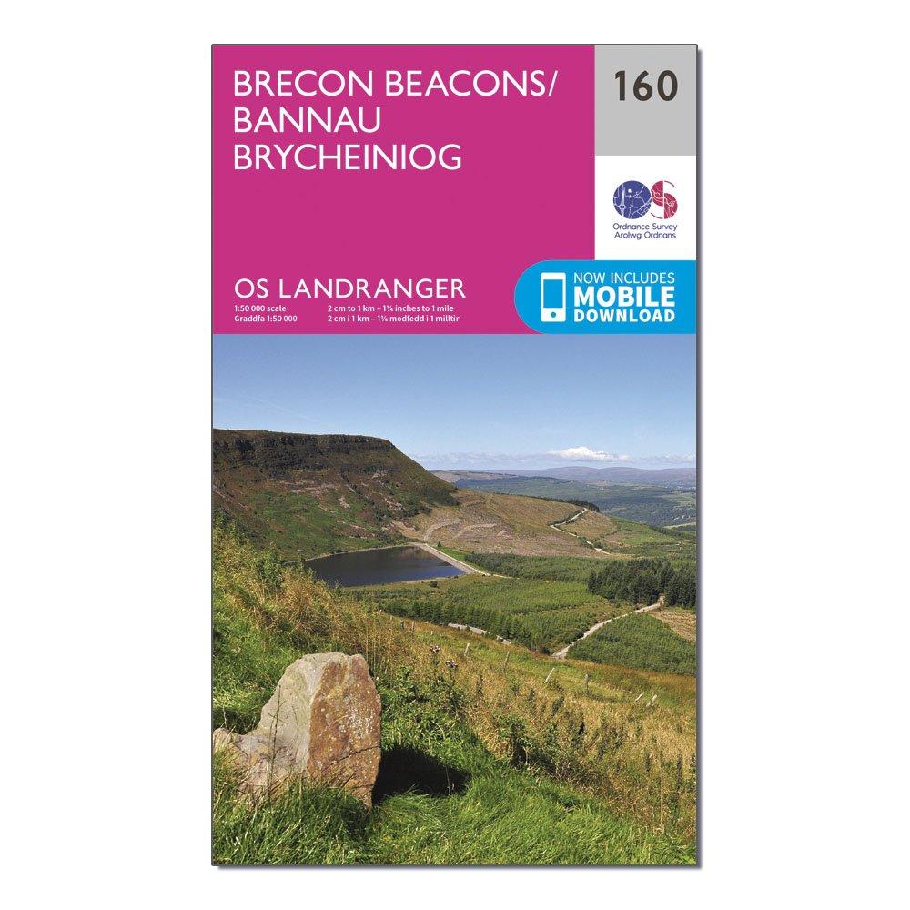
Ordnance Survey Landranger 160 Brecon Beacons Map With Digital Version - Pink, Pink
This map comes with a digital version which you can download to your smartphone or tablet.Go to OS.uk/redeem for more details (terms and conditions apply).Scratch off the panel on the inside cover of the map to reveal a code, you are then just three easy steps away from downloading your digital map.If...
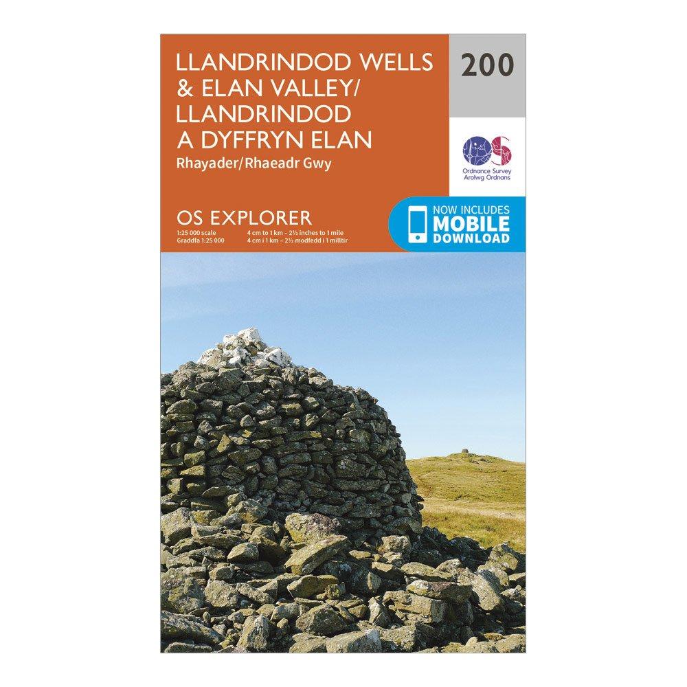
Providing complete GB coverage, the OS Explorer map series details information essential in the great outdoors, including youth hostels, pubs and visitor information. Rights of way, fences, permissive paths and bridleways are clearly shown, ensuring you have the best information to get the most out of...
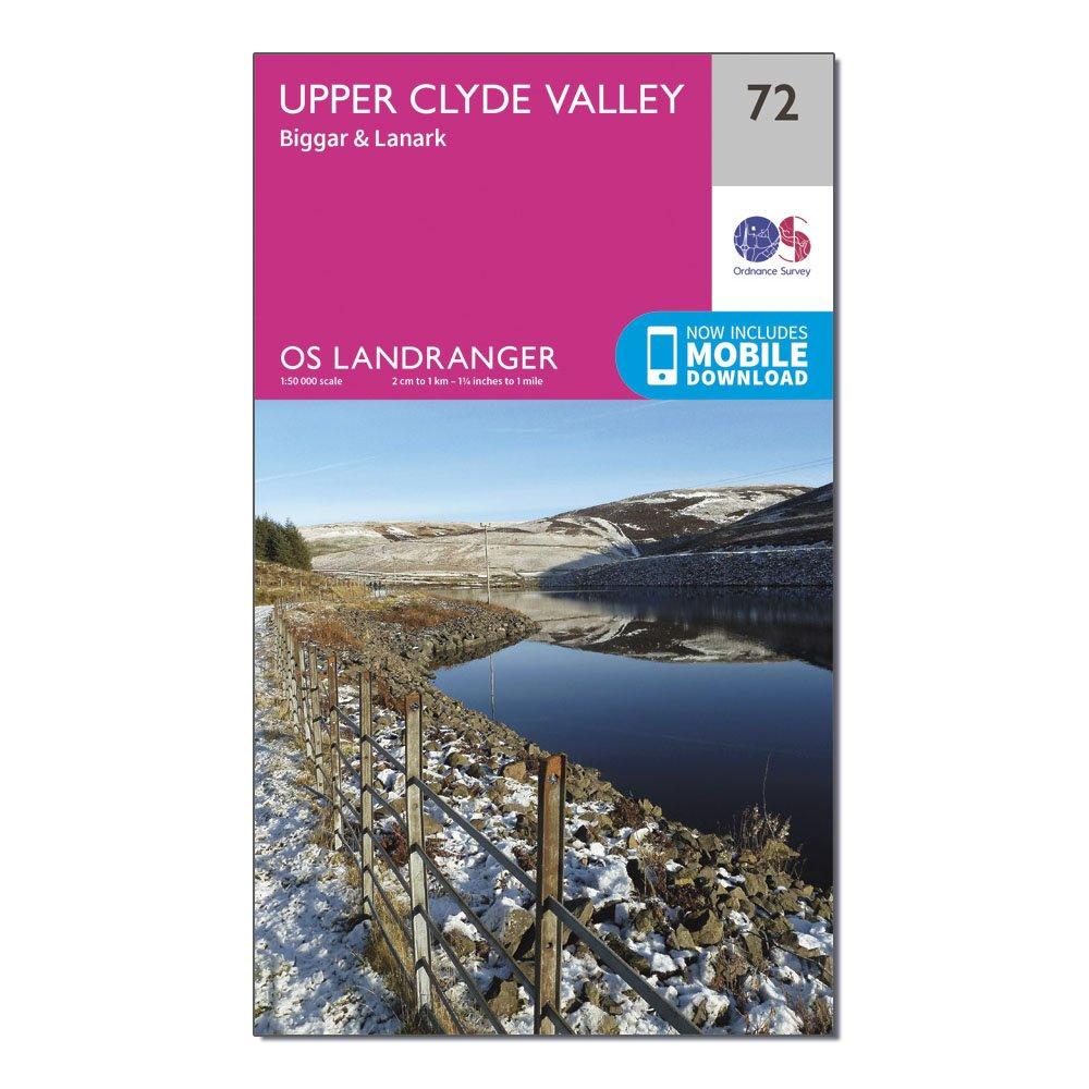
This map comes with a digital version which you can download to your smartphone or tablet.Go to OS.uk/redeem for more details (terms and conditions apply).Scratch off the panel on the inside cover of the map to reveal a code, you are then just three easy steps away from downloading your digital map.If...
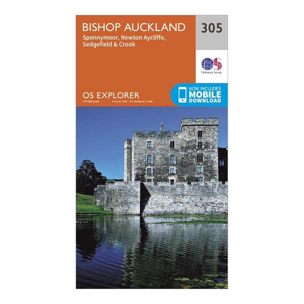
Ordnance Survey Explorer 305 Bishop Auckland Map With Digital Version - Orange, Orange
Providing complete GB coverage, the OS Explorer map series details information essential in the great outdoors, including youth hostels, pubs and visitor information. Rights of way, fences, permissive paths and bridleways are clearly shown, ensuring you have the best information to get the most out of...
Providing complete GB coverage, the OS Explorer map series details information essential in the great outdoors, including youth hostels, pubs and visitor information. Rights of way, fences, permissive paths and bridleways are clearly shown, ensuring you have the best information to get the most out of...