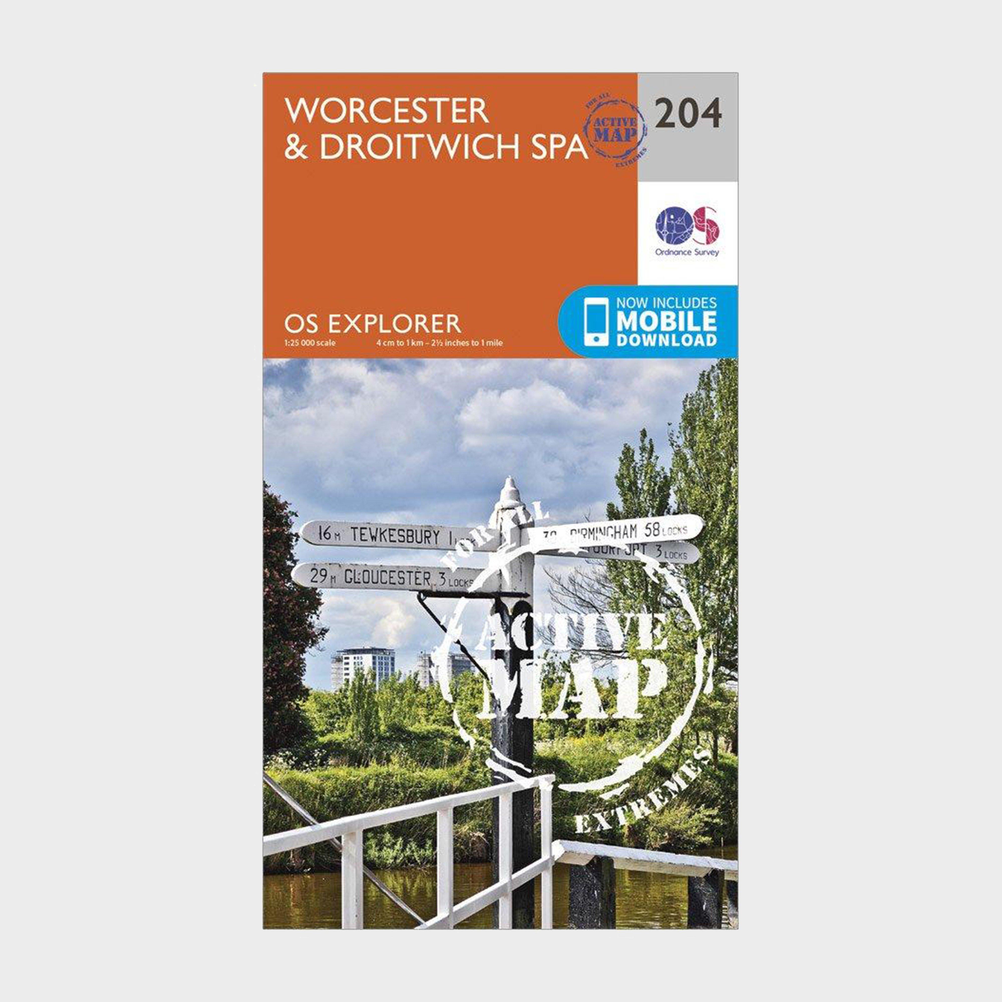
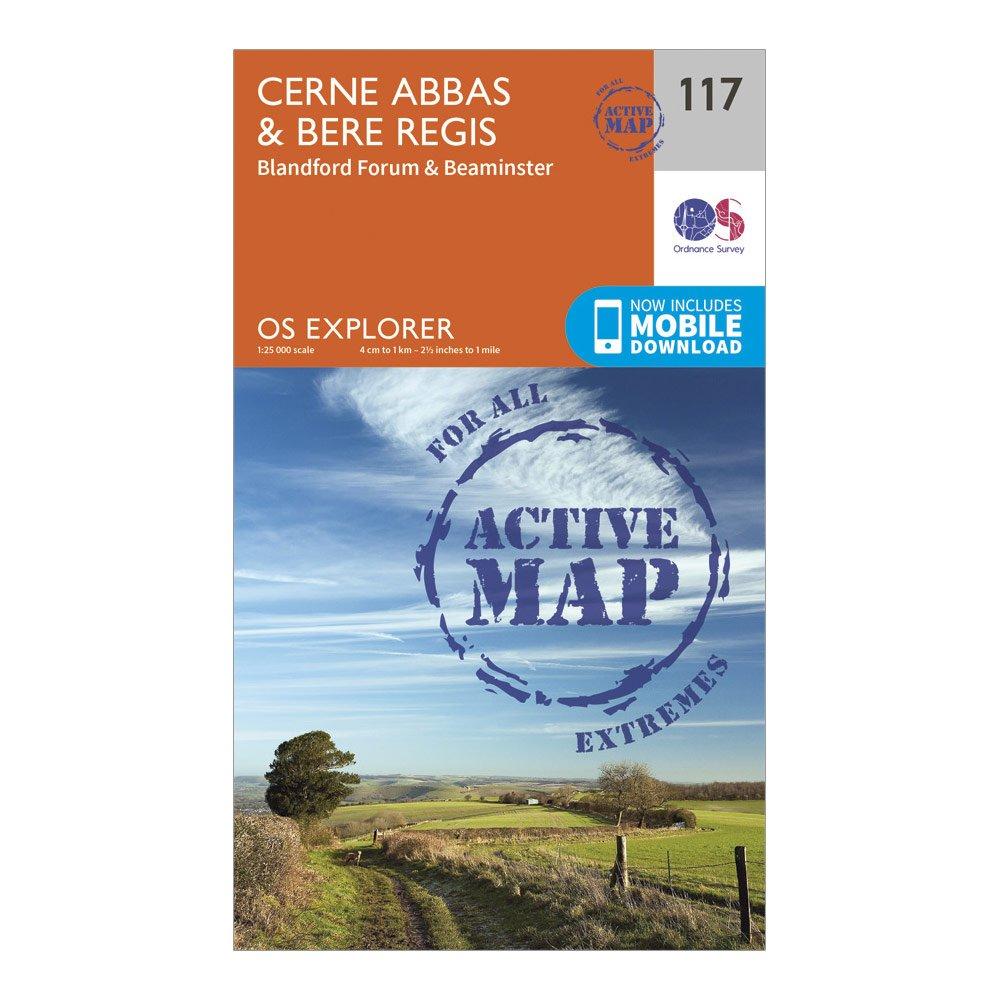
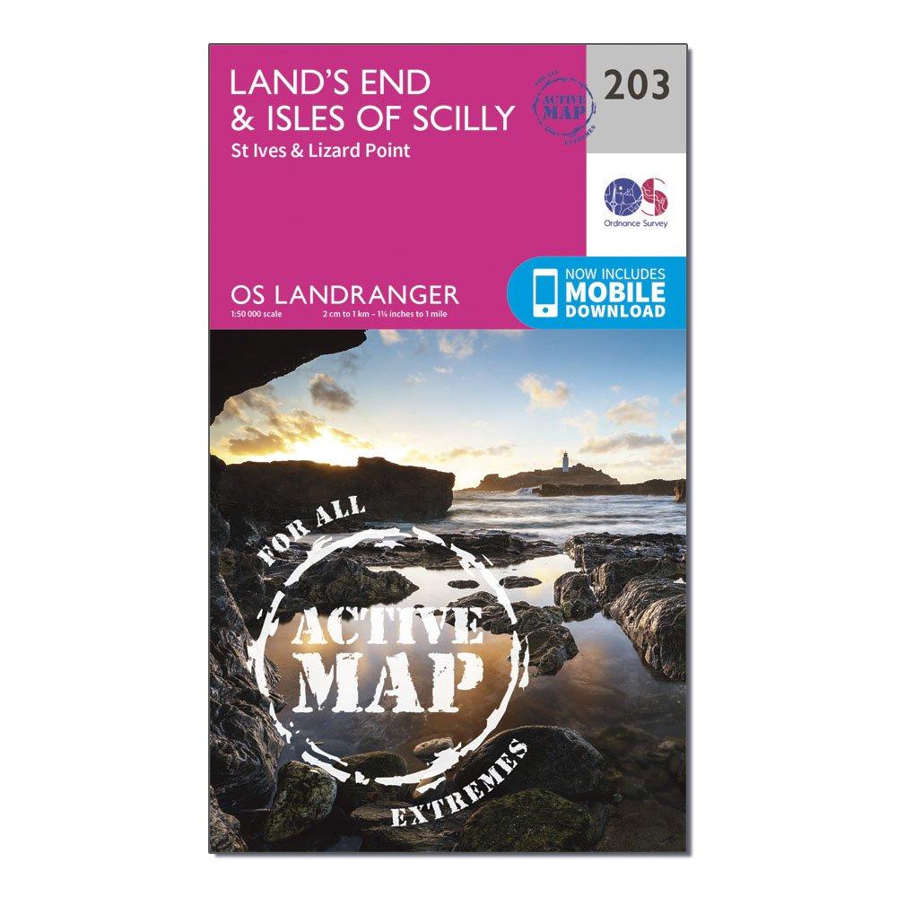
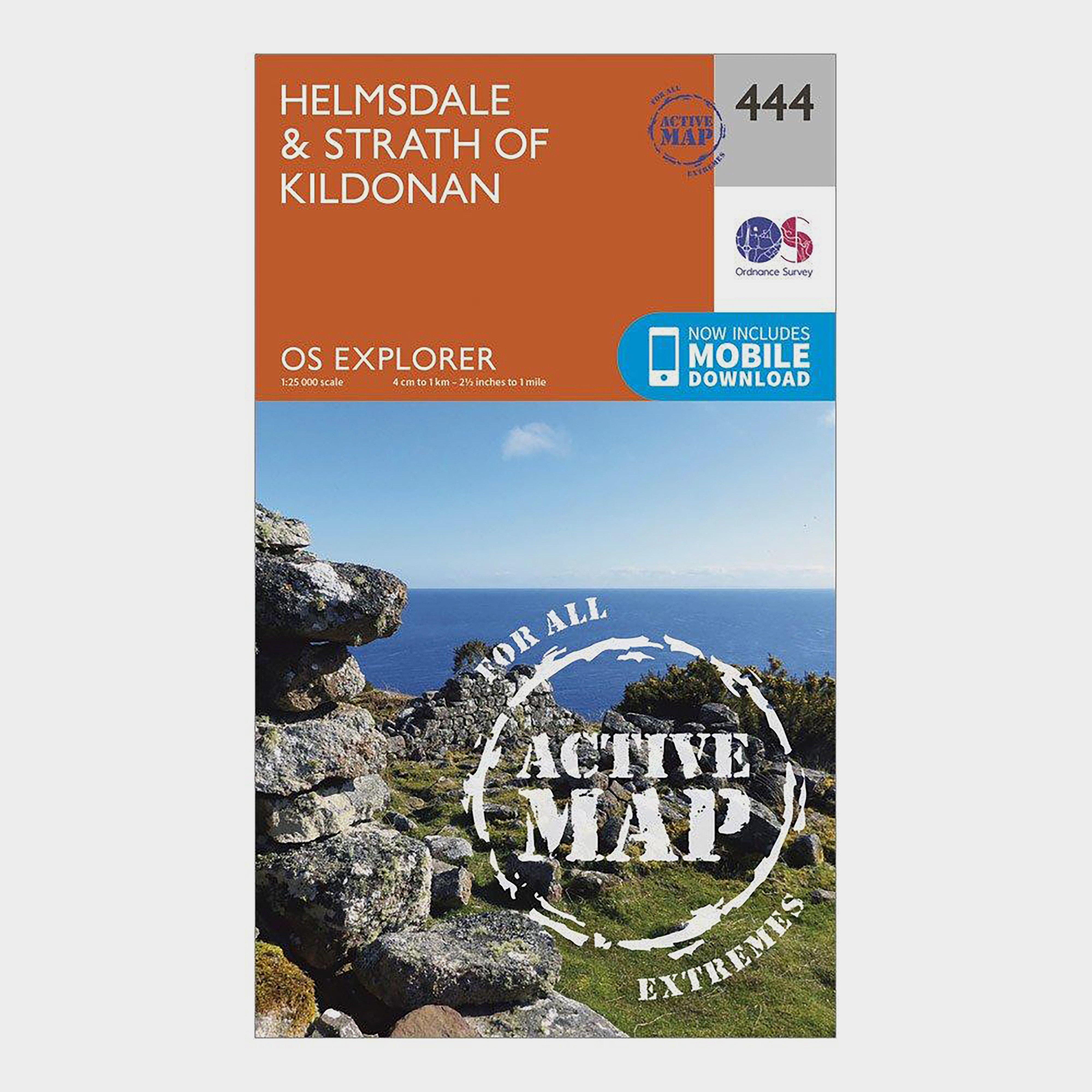
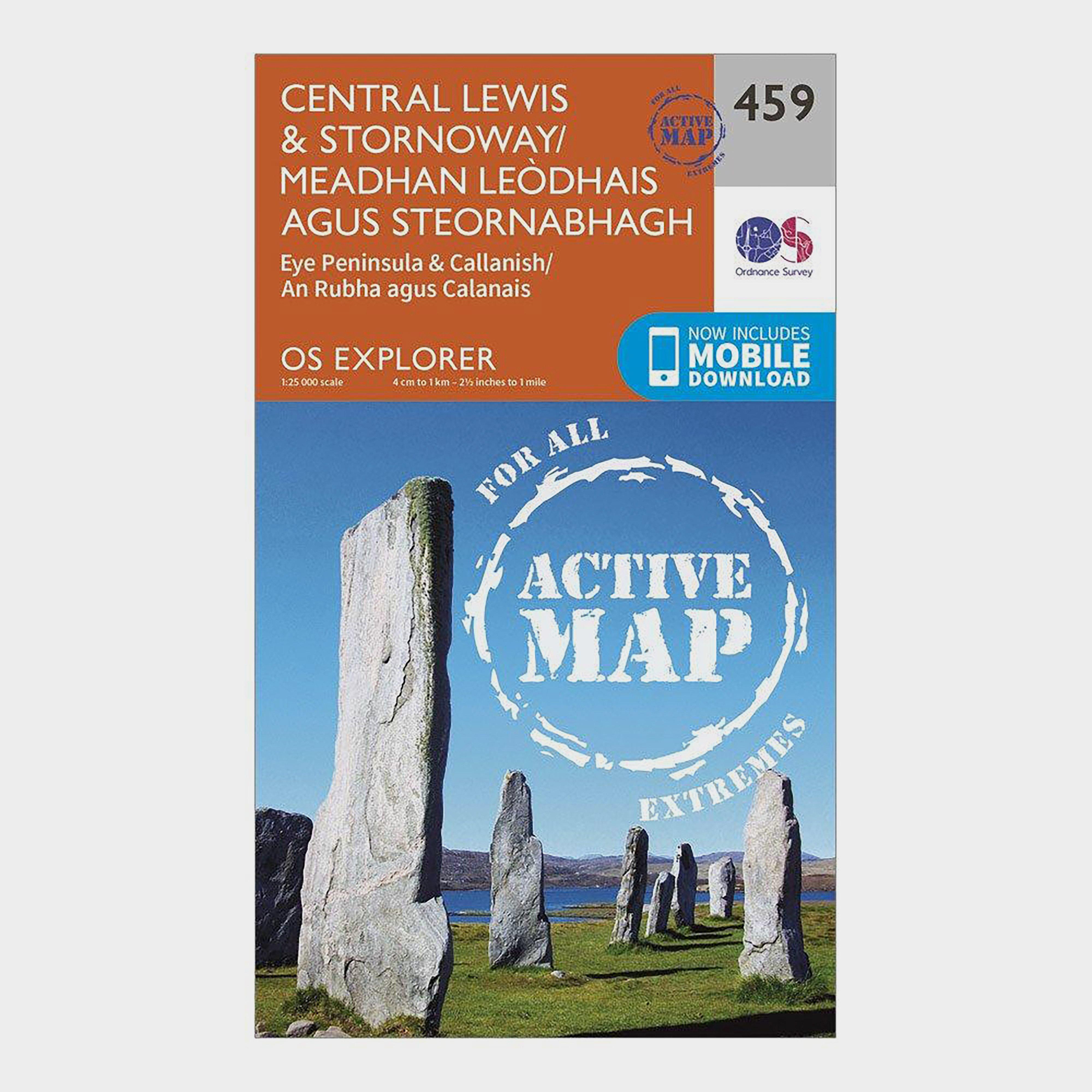
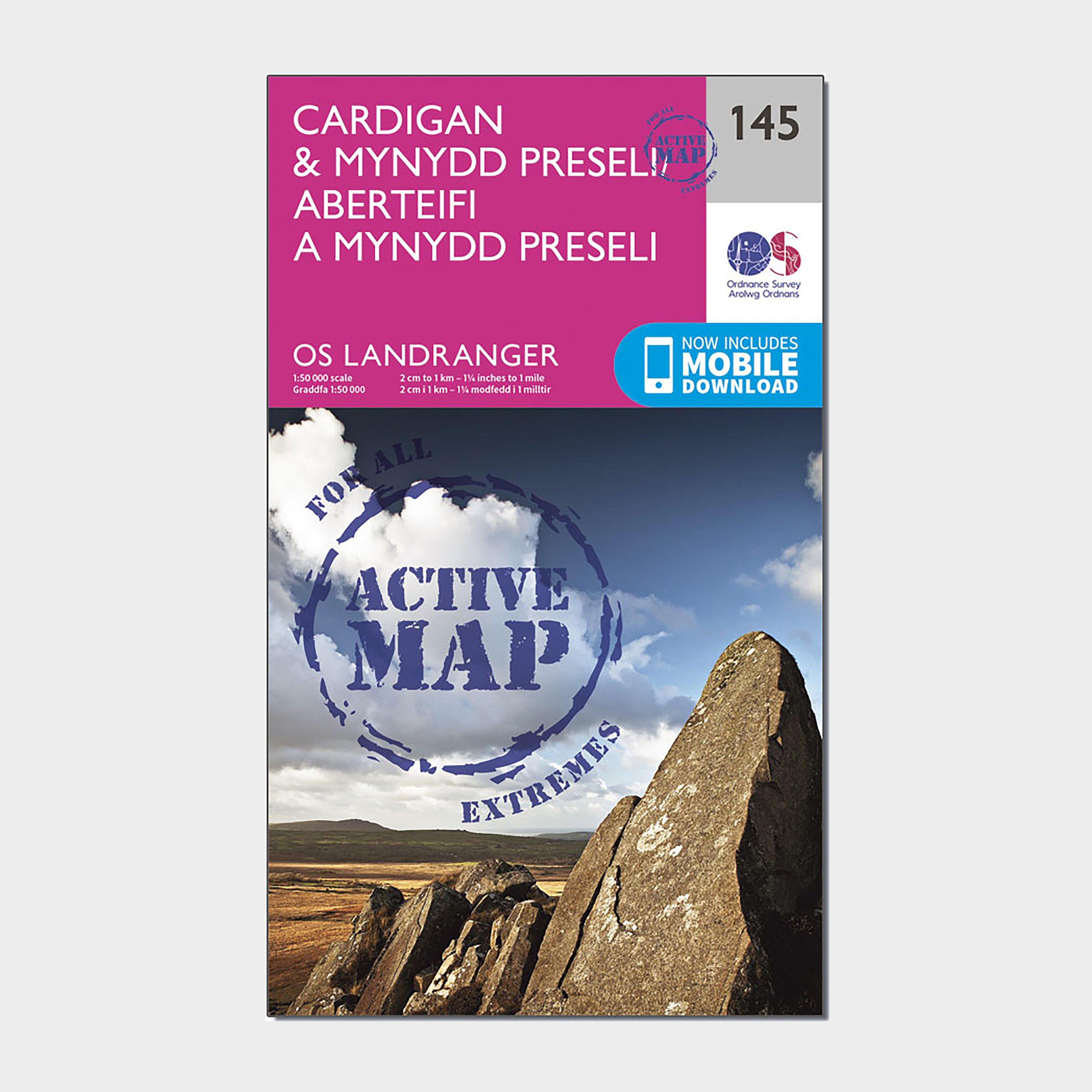
Providing complete GB coverage, the OS Explorer map series details information essential in the great outdoors, including youth hostels, pubs and visitor information. Rights of way, fences, permissive paths and bridleways are clearly shown, ensuring you have the best information to get the most out of...
The OS Landranger Map Active is tough, durable and weatherproof. The maps are covered in a lightweight protective plastic coating that can be written on, so your favourite routes can be easily highlighted._This map comes with a digital version which you can download to your smartphone or tablet._Go...
Ordnance Survey Explorer Active Ol 11 Brighton & Hove Map - Orange, Orange
FeaturesSouth DownsSouth Downs WaySussex Border PathVanguard WayDowns LinkMonarch's Way (Book 3)South Downs Way (National Trail)East SussexWest SussexBrighton and HoveLewesNewhavenShoreham-by-Sea1:25 000 scale (4 cm to 1 km - 2.5 inches to 1 mile)This map comes with a digital version which you can download...
Providing complete GB coverage, the OS Explorer map series details information essential in the great outdoors, including youth hostels, pubs and visitor information. Rights of way, fences, permissive paths and bridleways are clearly shown, ensuring you have the best information to get the most out of...
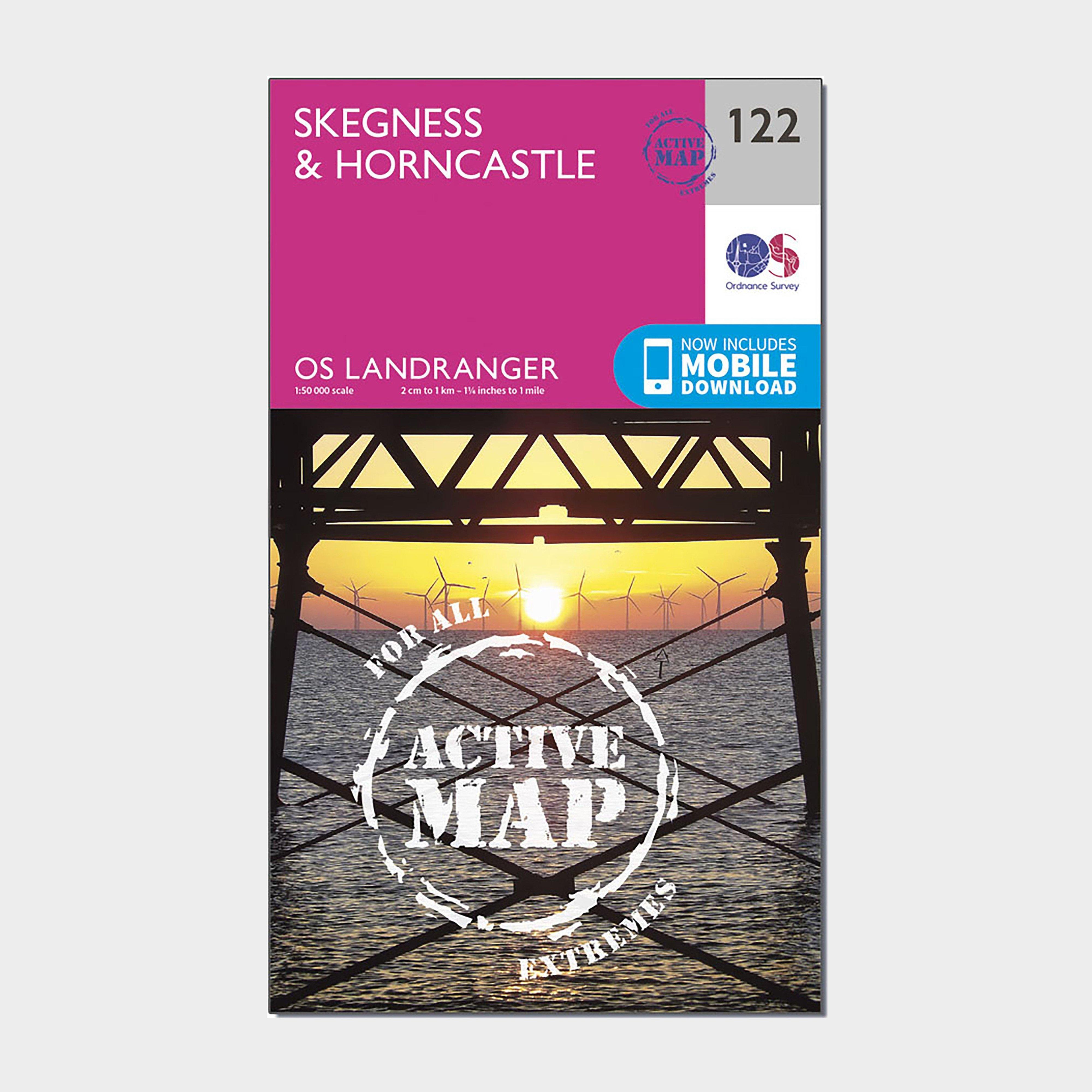
Ordnance Survey Landranger Active 122 Skegness & Horncastle Map With Digital Version - Pink, Pink
The OS Landranger Map Active is tough, durable and weatherproof. The maps are covered in a lightweight protective plastic coating that can be written on, so your favourite routes can be easily highlighted._This map comes with a digital version which you can download to your smartphone or tablet._Go...
Providing complete GB coverage, the OS Explorer map series details information essential in the great outdoors, including youth hostels, pubs and visitor information. Rights of way, fences, permissive paths and bridleways are clearly shown, ensuring you have the best information to get the most out of...
Providing complete GB coverage, the OS Explorer map series details information essential in the great outdoors, including youth hostels, pubs and visitor information. Rights of way, fences, permissive paths and bridleways are clearly shown, ensuring you have the best information to get the most out of...
Providing complete GB coverage, the OS Explorer map series details information essential in the great outdoors, including youth hostels, pubs and visitor information. Rights of way, fences, permissive paths and bridleways are clearly shown, ensuring you have the best information to get the most out of...
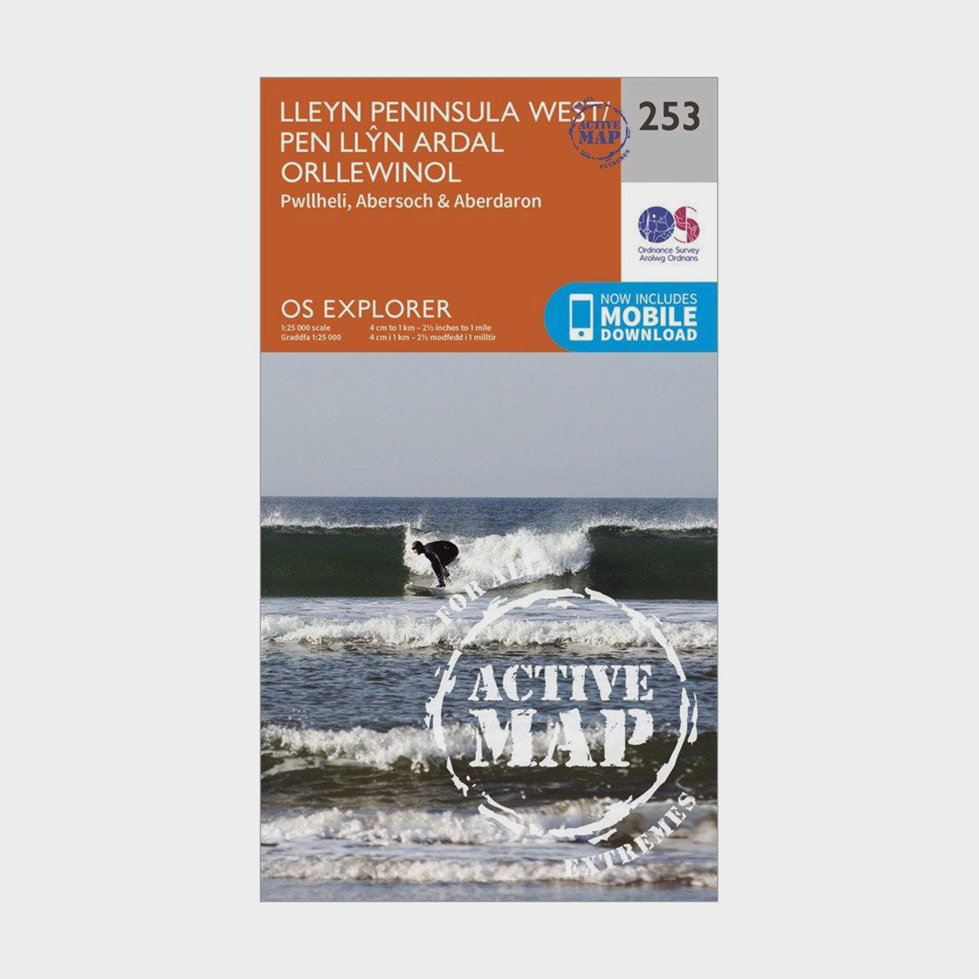
Ordnance Survey Explorer Active 253 Lleyn Peninsula West Map With Digital Version - Orange, Orange
Providing complete GB coverage, the OS Explorer map series details information essential in the great outdoors, including youth hostels, pubs and visitor information. Rights of way, fences, permissive paths and bridleways are clearly shown, ensuring you have the best information to get the most out of...
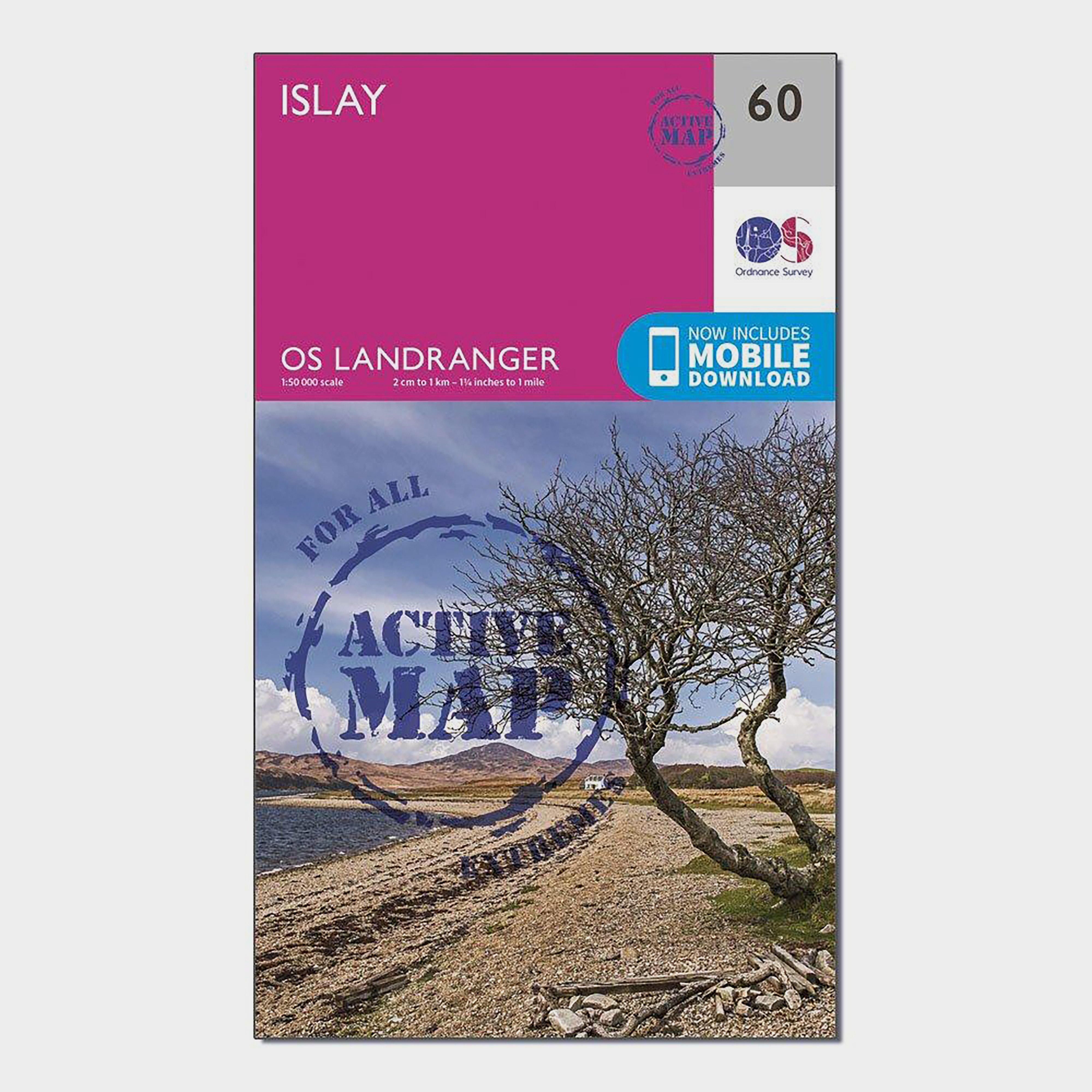
Ordnance Survey Landranger Active 60 Islay Map With Digital Version, D
The OS Landranger Map Active is tough, durable and weatherproof. The maps are covered in a lightweight protective plastic coating that can be written on, so your favourite routes can be easily highlighted.This map comes with a digital version which you can download to your smartphone or tablet.Go to...
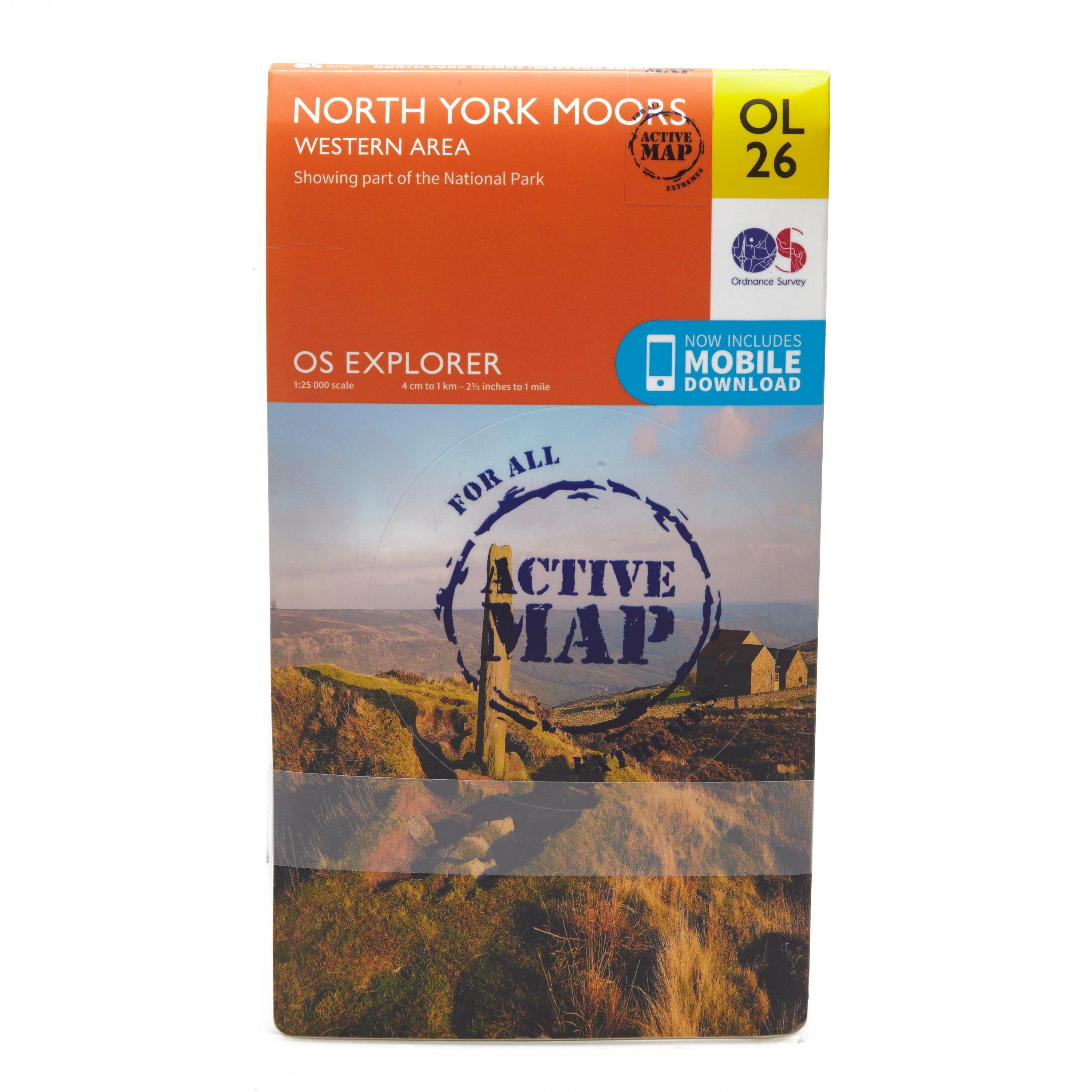
Ordnance Survey Explorer Active Ol26 North York Moors - Western Area Map, D
FeaturesCleveland WayEbor WayCleveland StreetTeesdale WayTees Link (Strategic Link to be shown at 50k)Marton West Beck TrailCleveland Way (National Trail)E2 (European Long Distance Route)MiddlesbroughNorth YorkshireNorth York Moors National ParkClevelandActive weatherproof map1:25 000 scale (4 cm to...
Providing complete GB coverage, the OS Explorer map series details information essential in the great outdoors, including youth hostels, pubs and visitor information. Rights of way, fences, permissive paths and bridleways are clearly shown, ensuring you have the best information to get the most out of...
The OS Landranger Map Active is tough, durable and weatherproof. The maps are covered in a lightweight protective plastic coating that can be written on, so your favourite routes can be easily highlighted._This map comes with a digital version which you can download to your smartphone or tablet._Go...

