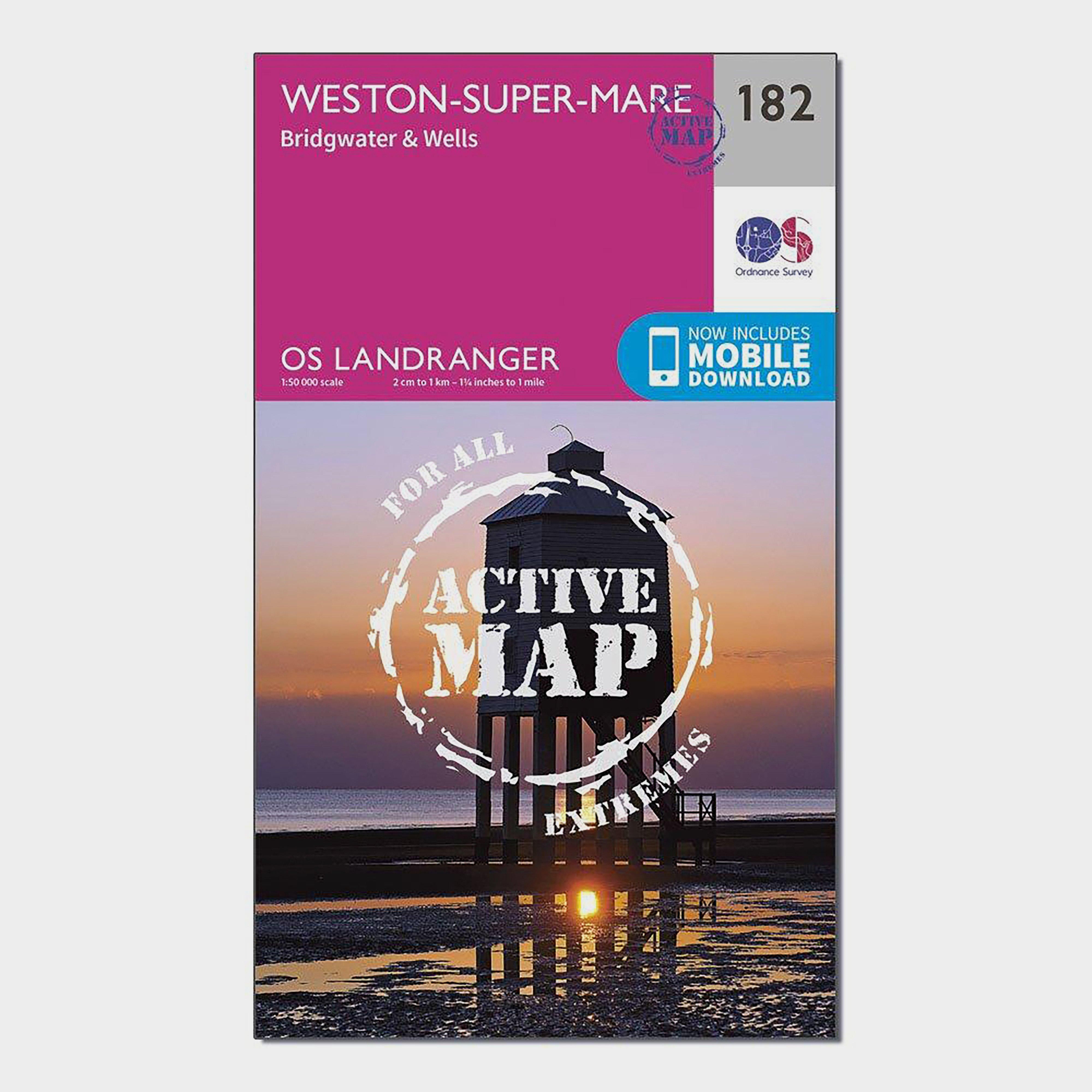
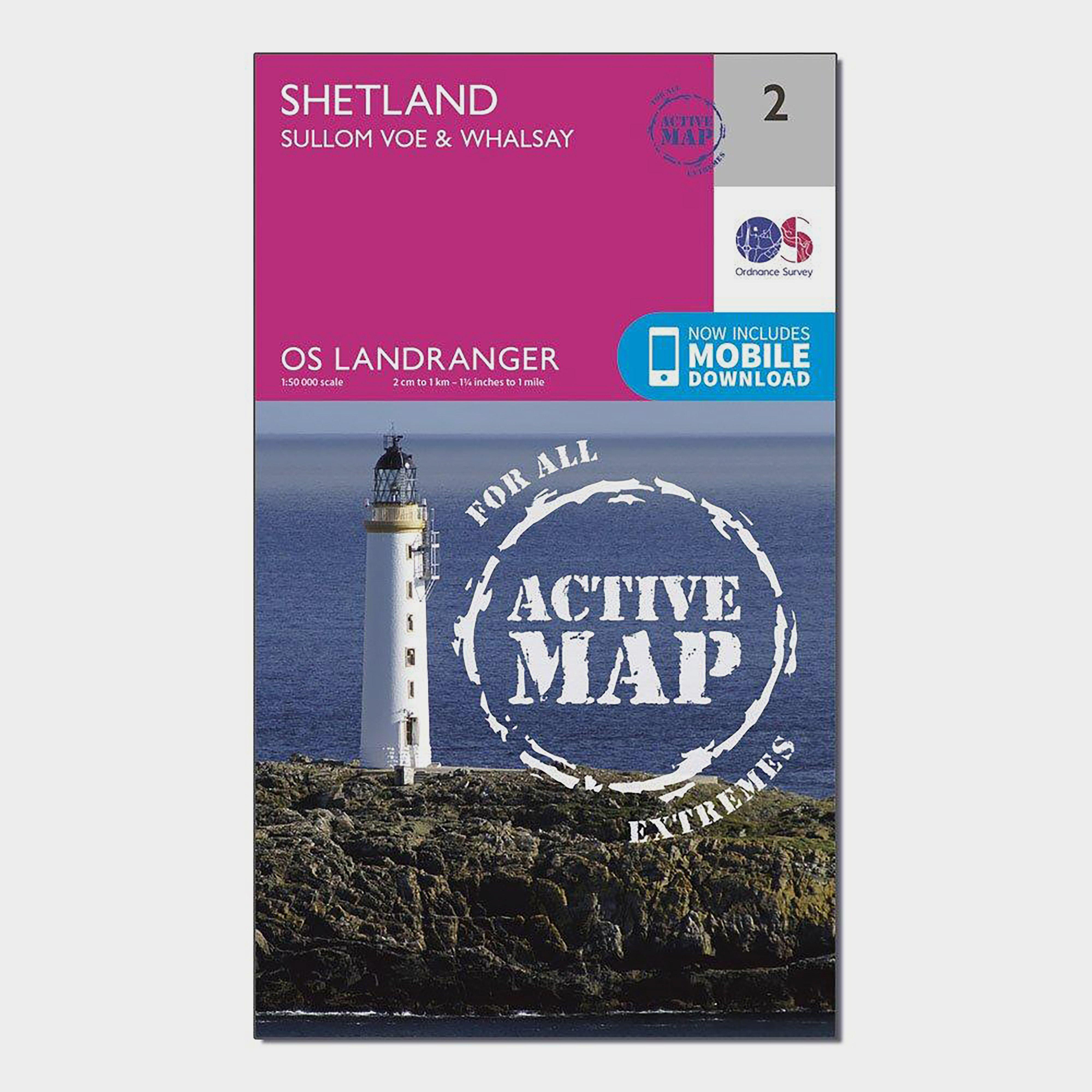
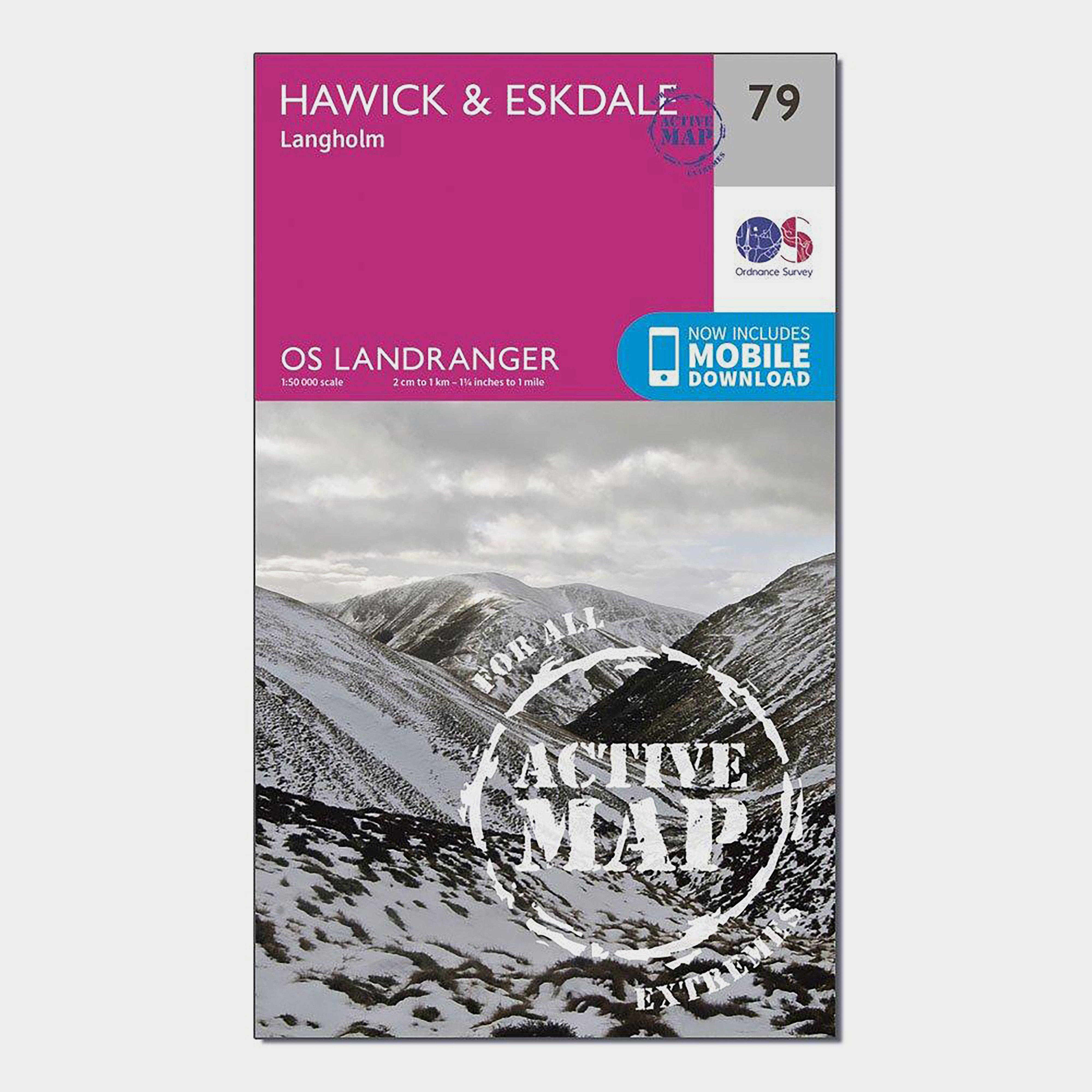
The OS Landranger Map Active is tough, durable and weatherproof. The maps are covered in a lightweight protective plastic coating that can be written on, so your favourite routes can be easily highlighted._This map comes with a digital version which you can download to your smartphone or tablet._Go...
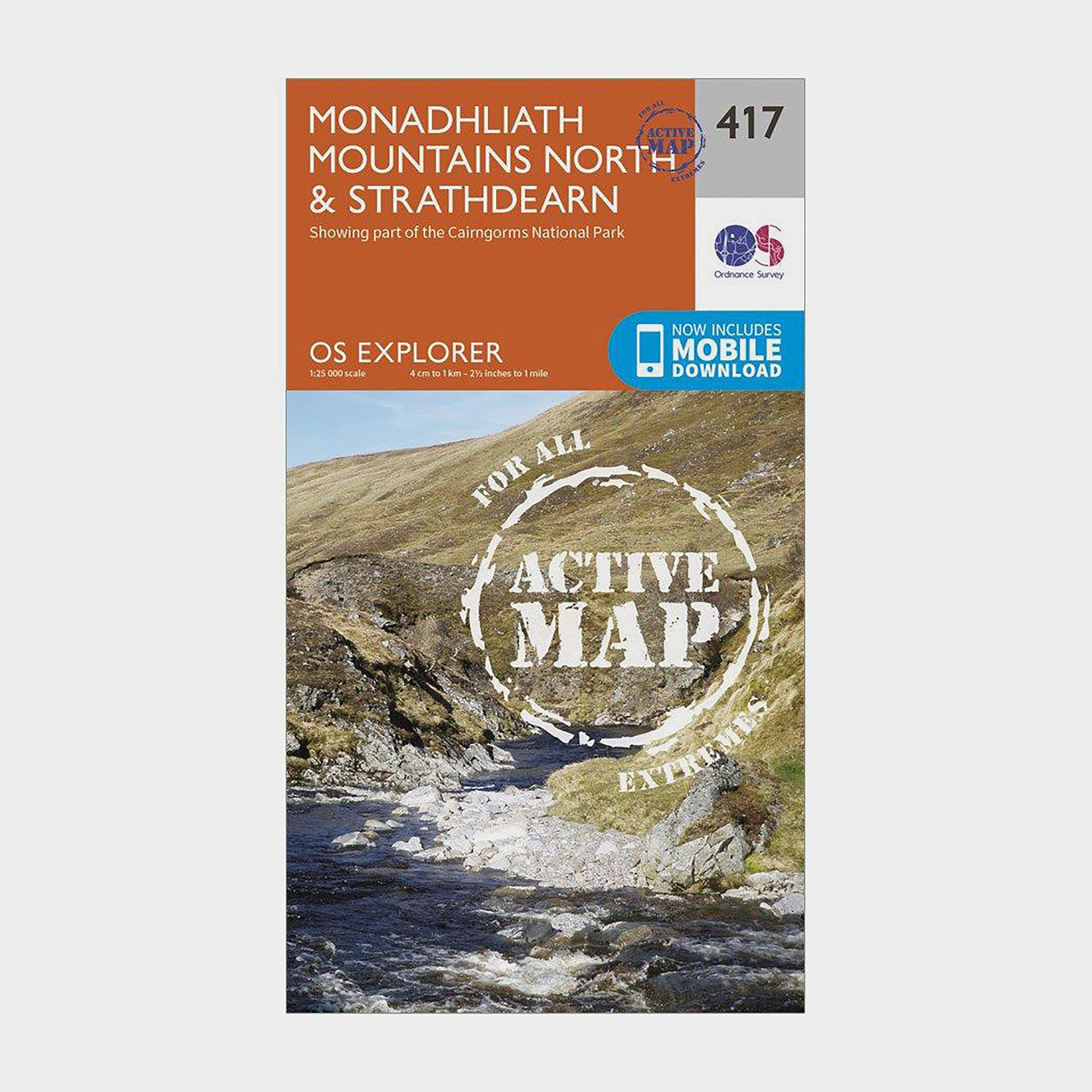
Providing complete GB coverage, the OS Explorer map series details information essential in the great outdoors, including youth hostels, pubs and visitor information. Rights of way, fences, permissive paths and bridleways are clearly shown, ensuring you have the best information to get the most out of...
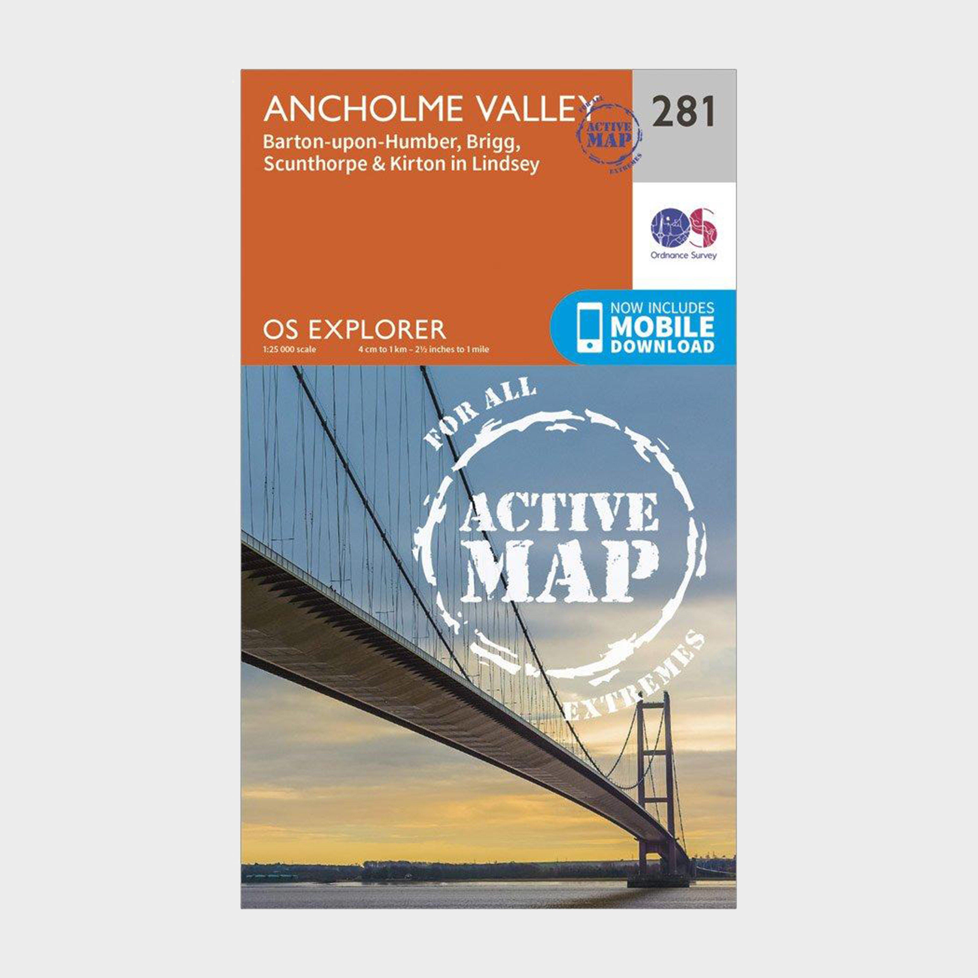
Ordnance Survey Explorer Active 281 Ancholme Valley Map With Digital Version - Orange, Orange
Providing complete GB coverage, the OS Explorer map series details information essential in the great outdoors, including youth hostels, pubs and visitor information. Rights of way, fences, permissive paths and bridleways are clearly shown, ensuring you have the best information to get the most out of...
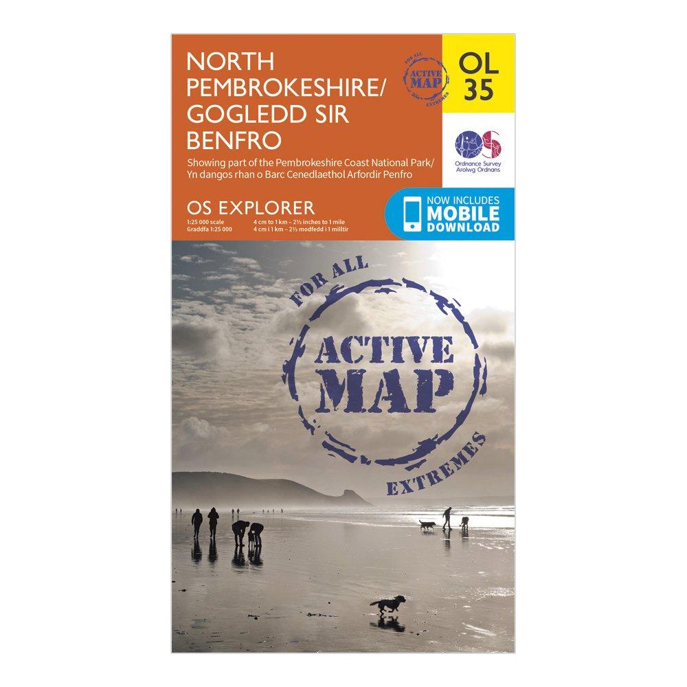
Ordnance Survey Explorer Active Ol35 North Pembrokeshire Map With Digital Version - Orange, Orange
Providing complete GB coverage, the OS Explorer map series details information essential in the great outdoors, including youth hostels, pubs and visitor information. Rights of way, fences, permissive paths and bridleways are clearly shown, ensuring you have the best information to get the most out of...
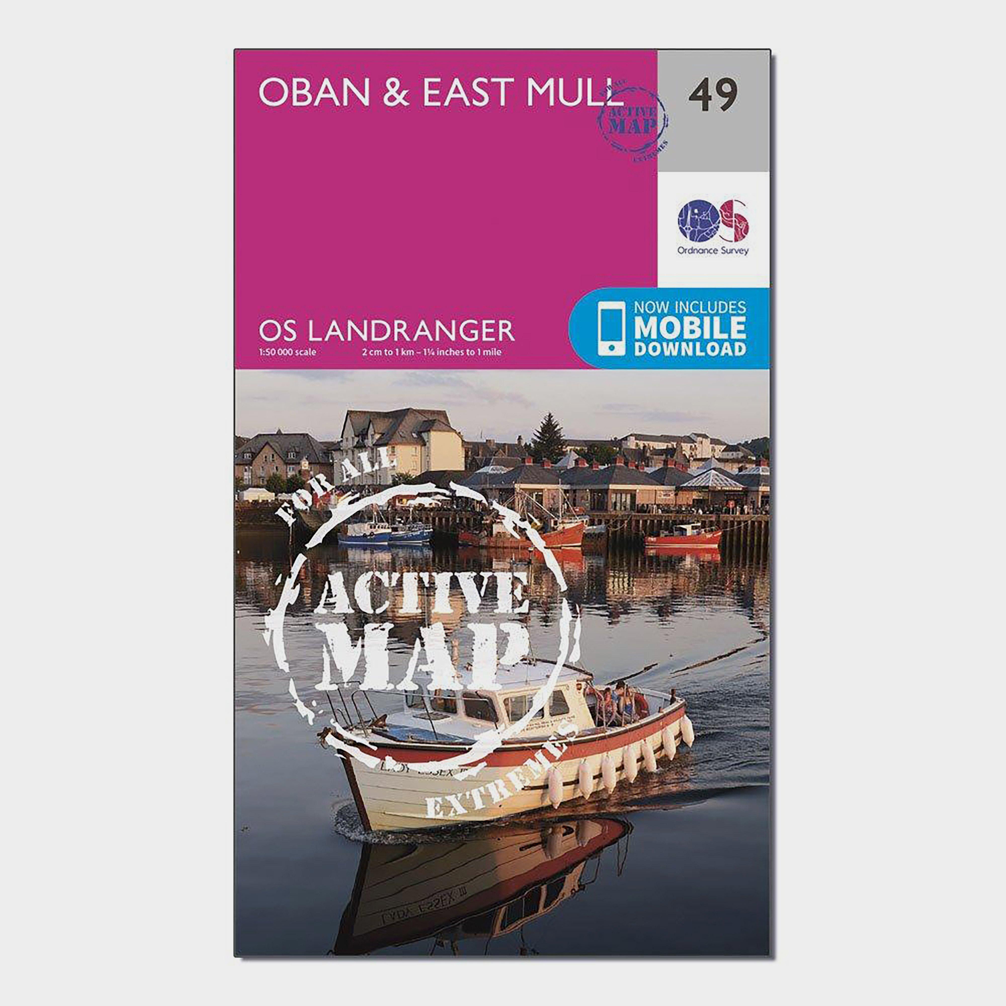
Ordnance Survey Landranger Active 49 Oban & East Mull Map With Digital Version - Pink, Pink
The OS Landranger Map Active is tough, durable and weatherproof. The maps are covered in a lightweight protective plastic coating that can be written on, so your favourite routes can be easily highlighted._This map comes with a digital version which you can download to your smartphone or tablet._Go...
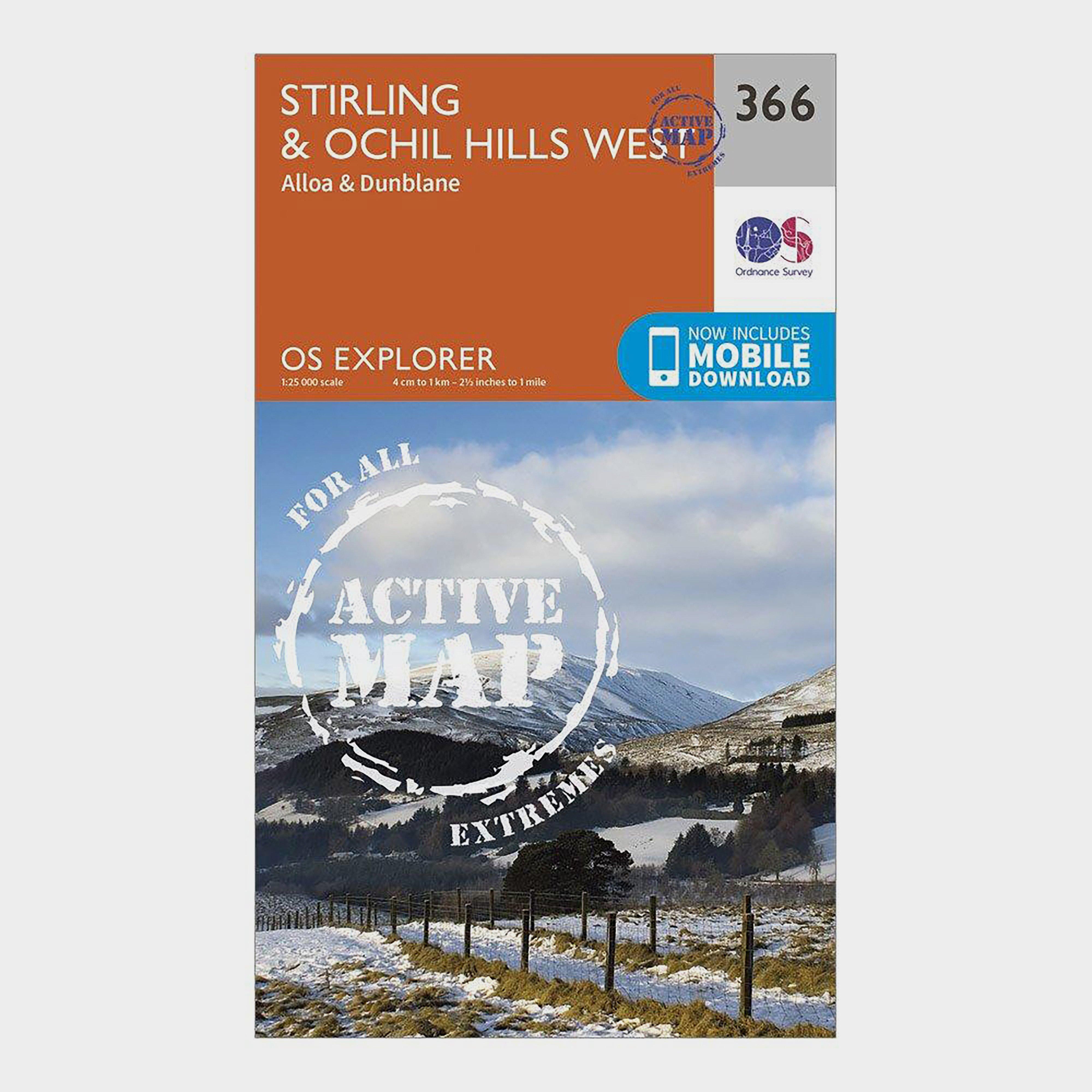
FeaturesDevon WayTaysideCentralAlloaCallanderStirling1:25 000 scale (4 cm to 1 km ' 2.5 inches to 1 mile)This map comes with a digital version which you can download to your smartphone or tablet.Go to OS.uk/redeem for more details (terms and conditions apply).Scratch off the panel on the inside cover...
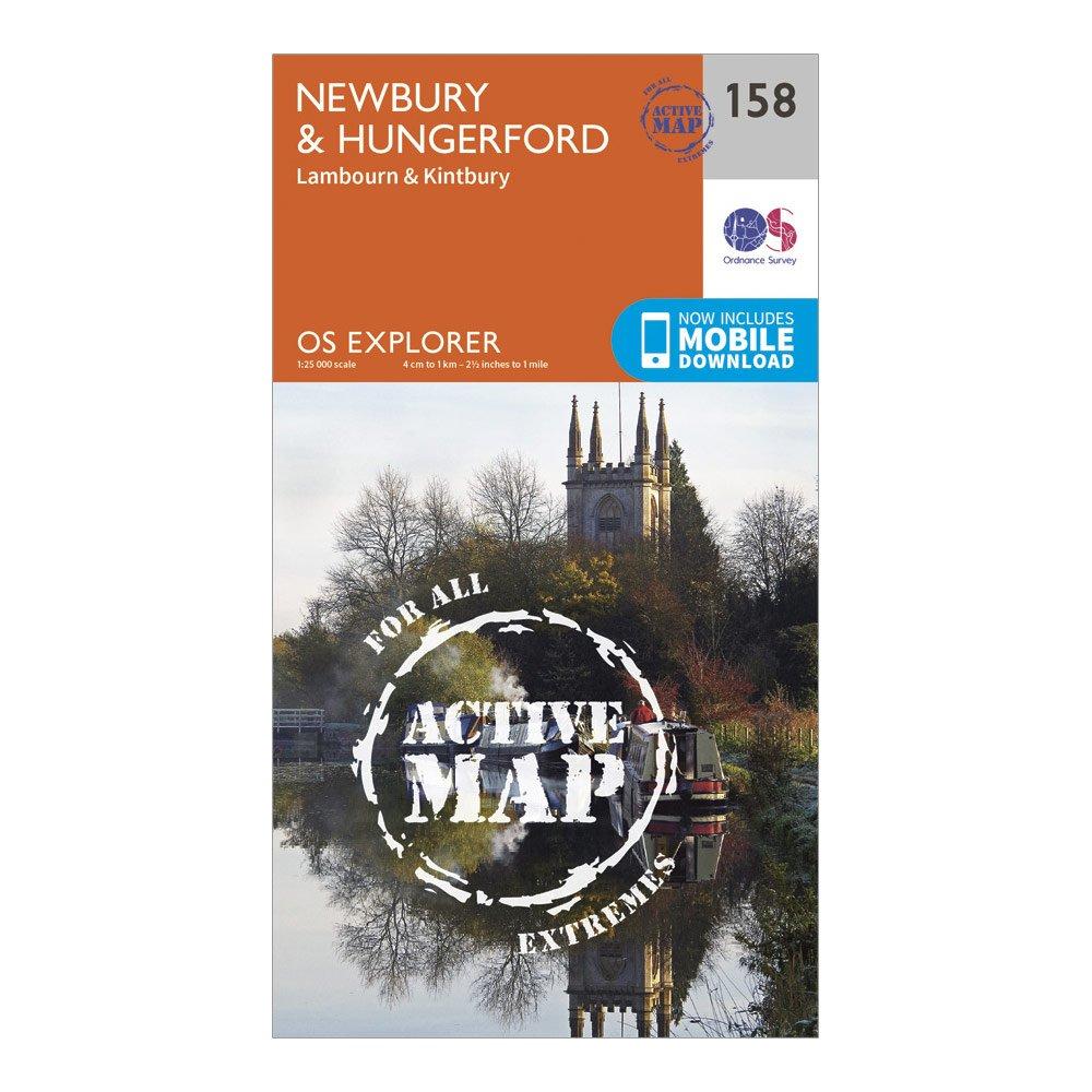
Ordnance Survey Explorer Active 158 Newbury & Hungerford Map With Digital Version, D
Providing complete GB coverage, the OS Explorer map series details information essential in the great outdoors, including youth hostels, pubs and visitor information. Rights of way, fences, permissive paths and bridleways are clearly shown, ensuring you have the best information to get the most out of...
Providing complete GB coverage, the OS Explorer map series details information essential in the great outdoors, including youth hostels, pubs and visitor information. Rights of way, fences, permissive paths and bridleways are clearly shown, ensuring you have the best information to get the most out of...
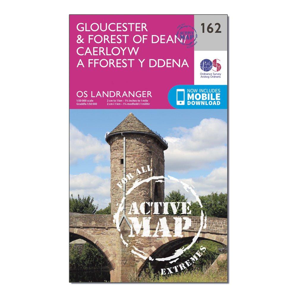
Ordnance Survey Landranger Active 162 Gloucester & Forest Of Dean Map With Digital Version, D
The OS Landranger Map Active is tough, durable and weatherproof. The maps are covered in a lightweight protective plastic coating that can be written on, so your favourite routes can be easily highlighted._This map comes with a digital version which you can download to your smartphone or tablet._Go...
The OS Landranger Map Active is tough, durable and weatherproof. The maps are covered in a lightweight protective plastic coating that can be written on, so your favourite routes can be easily highlighted._This map comes with a digital version which you can download to your smartphone or tablet._Go...
The OS Landranger Map Active is tough, durable and weatherproof. The maps are covered in a lightweight protective plastic coating that can be written on, so your favourite routes can be easily highlighted._This map comes with a digital version which you can download to your smartphone or tablet._Go...
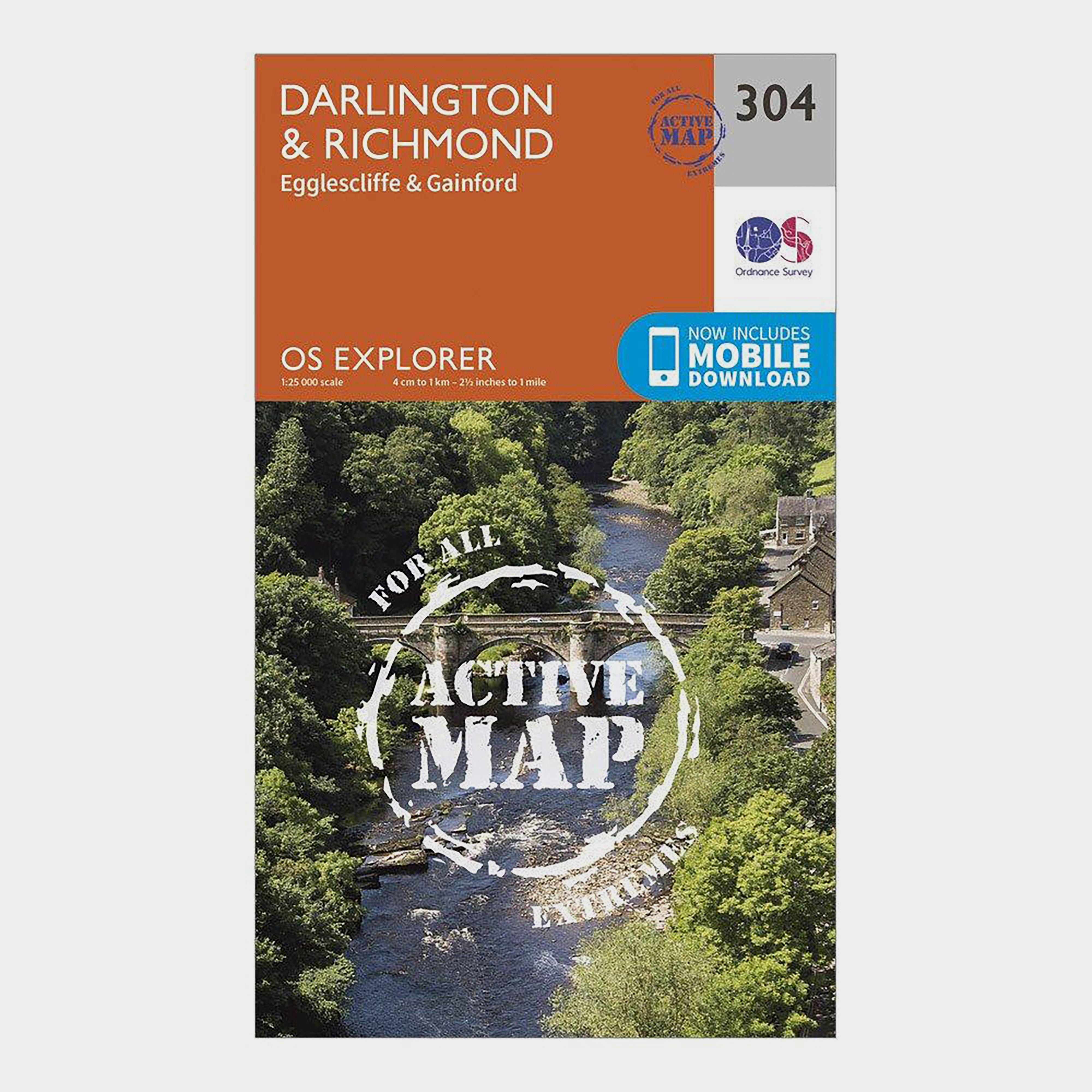
Ordnance Survey Explorer Active 304 Darlington & Richmond Map With Digital Version - Orange, Orange
Providing complete GB coverage, the OS Explorer map series details information essential in the great outdoors, including youth hostels, pubs and visitor information. Rights of way, fences, permissive paths and bridleways are clearly shown, ensuring you have the best information to get the most out of...
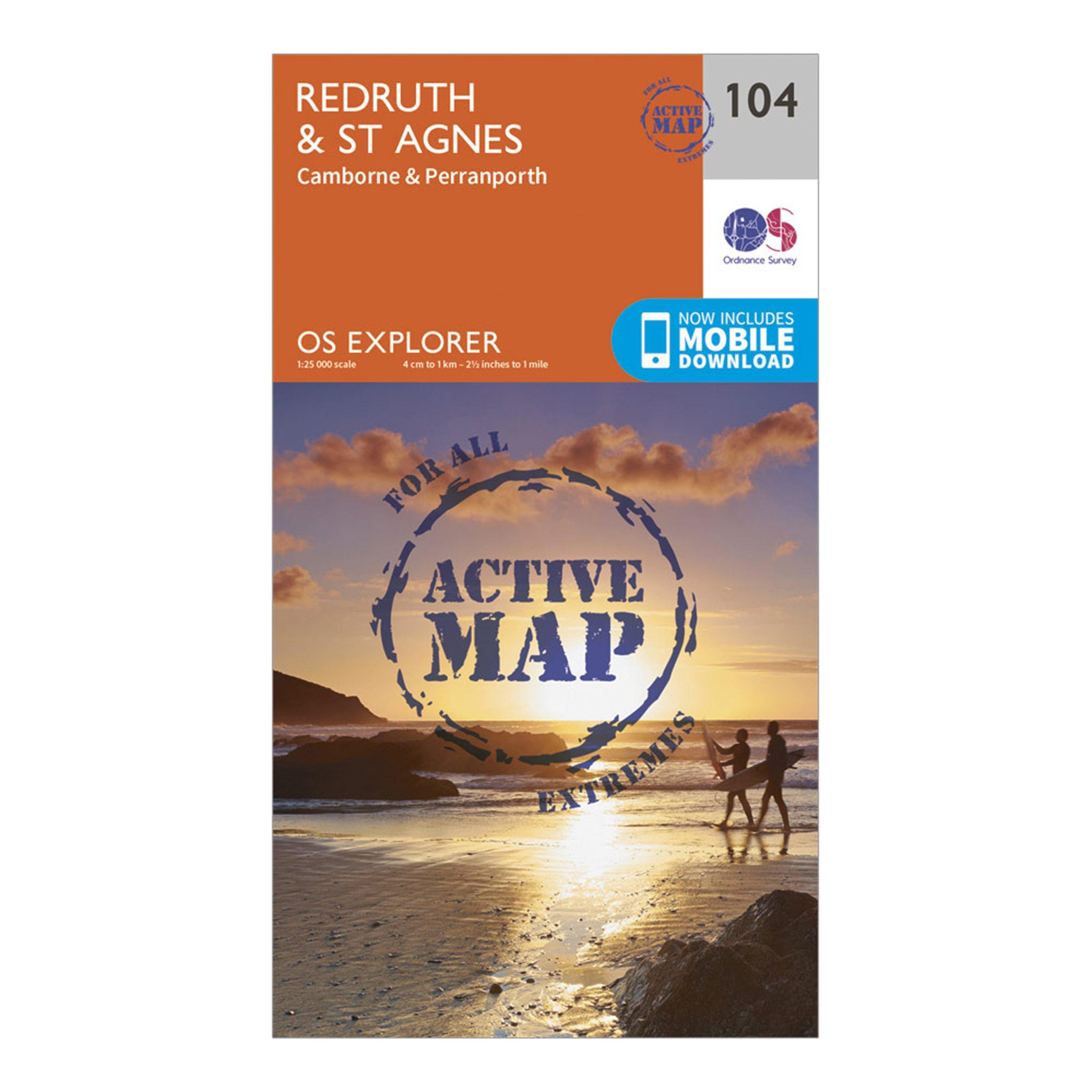
Ordnance Survey Explorer Active 104 Redruth & St Agnes Map With Digital Version - Orange, Orange
Providing complete GB coverage, the OS Explorer map series details information essential in the great outdoors, including youth hostels, pubs and visitor information. Rights of way, fences, permissive paths and bridleways are clearly shown, ensuring you have the best information to get the most out of...
The OS Landranger Map Active is tough, durable and weatherproof. The maps are covered in a lightweight protective plastic coating that can be written on, so your favourite routes can be easily highlighted._This map comes with a digital version which you can download to your smartphone or tablet._Go...
Providing complete GB coverage, the OS Explorer map series details information essential in the great outdoors, including youth hostels, pubs and visitor information. Rights of way, fences, permissive paths and bridleways are clearly shown, ensuring you have the best information to get the most out of...


