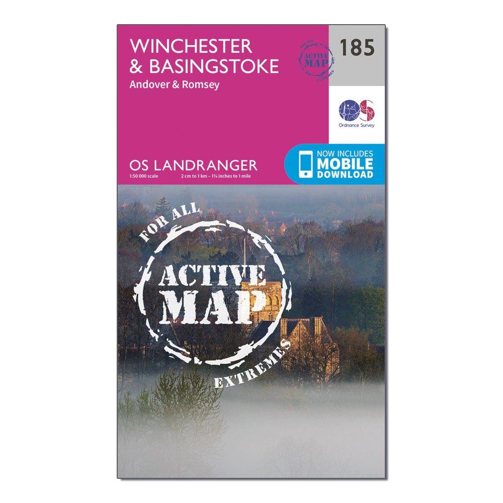
The OS Landranger Map Active is tough, durable and weatherproof. The maps are covered in a lightweight protective plastic coating that can be written on, so your favourite routes can be easily highlighted._This map comes with a digital version which you can download to your smartphone or tablet._Go...
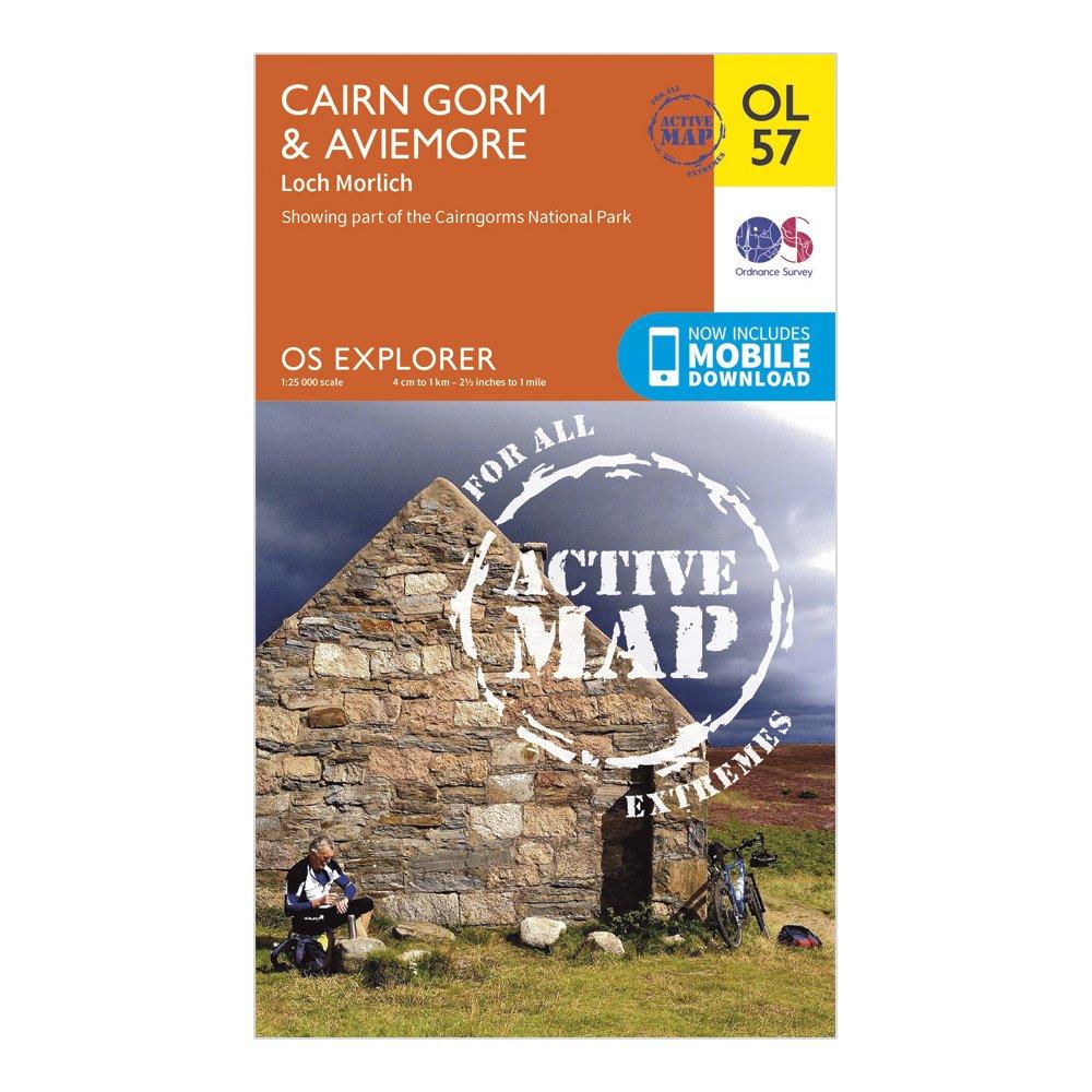
Ordnance Survey Explorer Active Ol 57 Cairn Gorm & Aviemore Map - Orange, Orange
Cairngorms National ParkBadenoch WaySpeyside Way (Long Distance Route)HighlandGrampian1:25 000 scale (4 cm to 1 km - 2.5 inches to 1 mile)Active weatherproof mapThis map comes with a digital version which you can download to your smartphone or tablet.
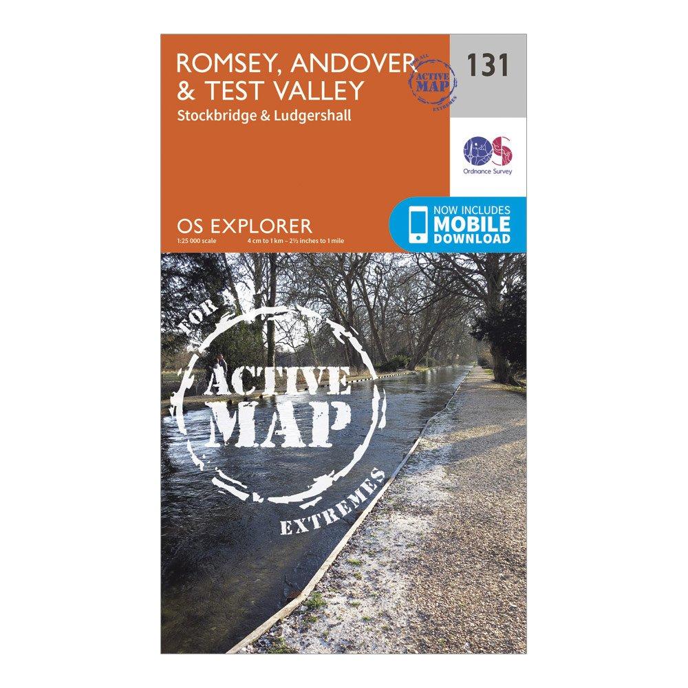
Providing complete GB coverage, the OS Explorer map series details information essential in the great outdoors, including youth hostels, pubs and visitor information. Rights of way, fences, permissive paths and bridleways are clearly shown, ensuring you have the best information to get the most out of...
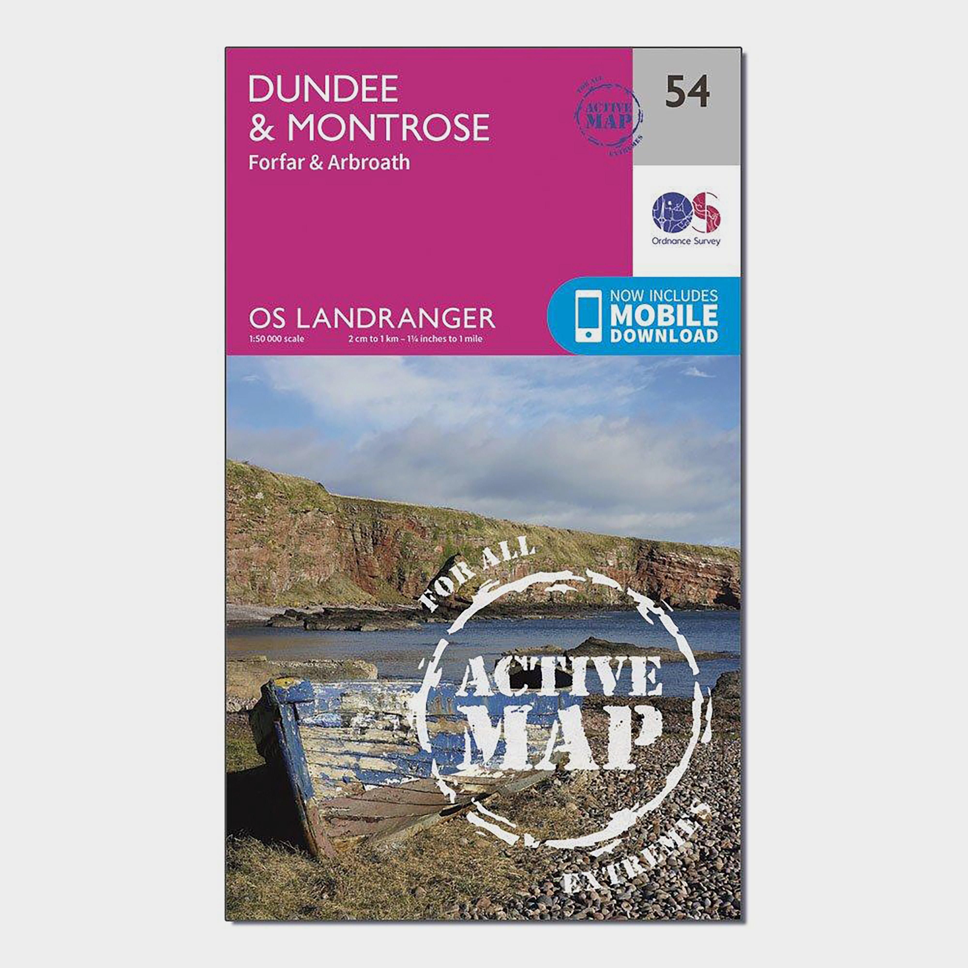
The OS Landranger Map Active is tough, durable and weatherproof. The maps are covered in a lightweight protective plastic coating that can be written on, so your favourite routes can be easily highlighted._This map comes with a digital version which you can download to your smartphone or tablet._Go...
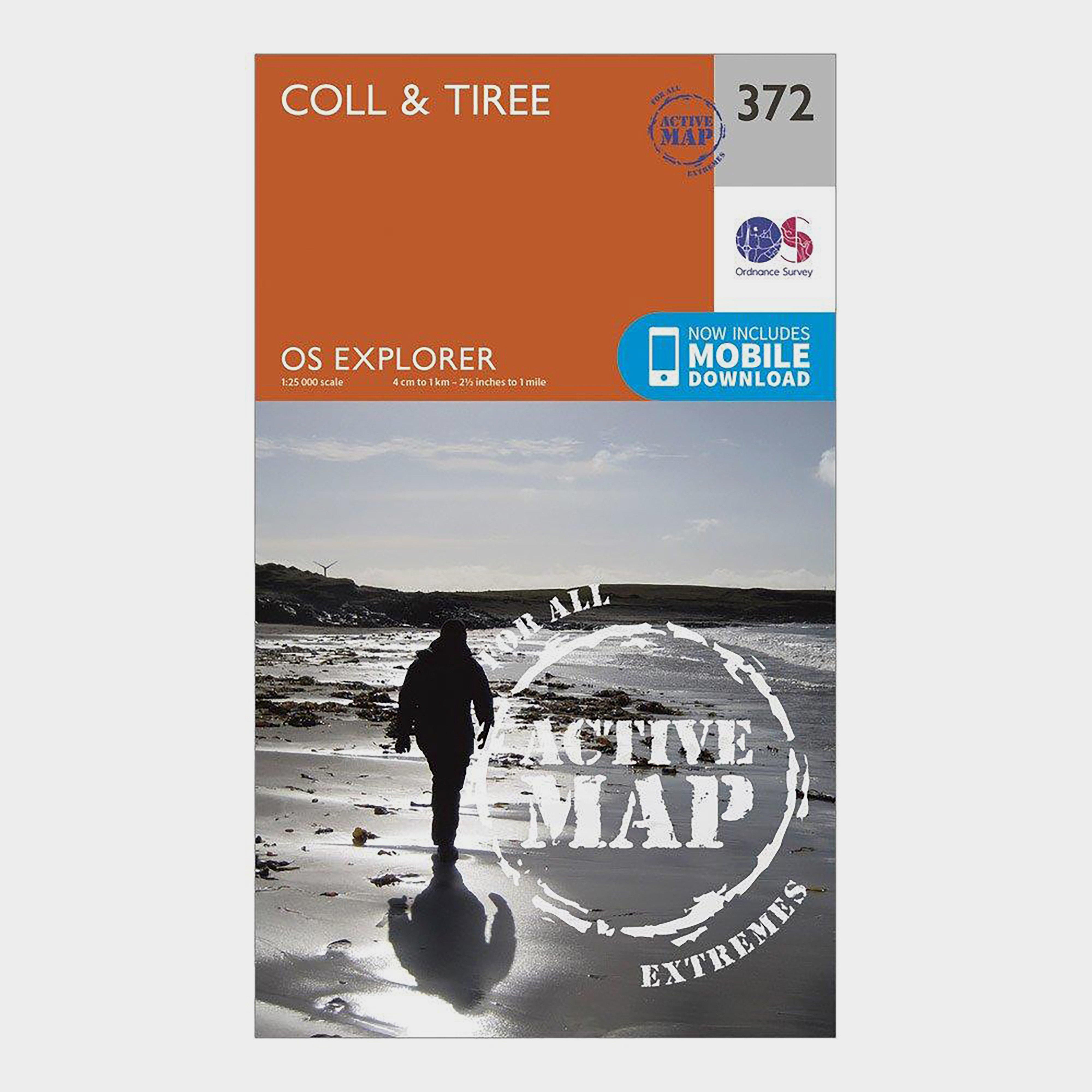
Ordnance Survey Explorer Active 372 Coll & Tiree Map With Digital Version - Orange, Orange
Providing complete GB coverage, the OS Explorer map series details information essential in the great outdoors, including youth hostels, pubs and visitor information. Rights of way, fences, permissive paths and bridleways are clearly shown, ensuring you have the best information to get the most out of...
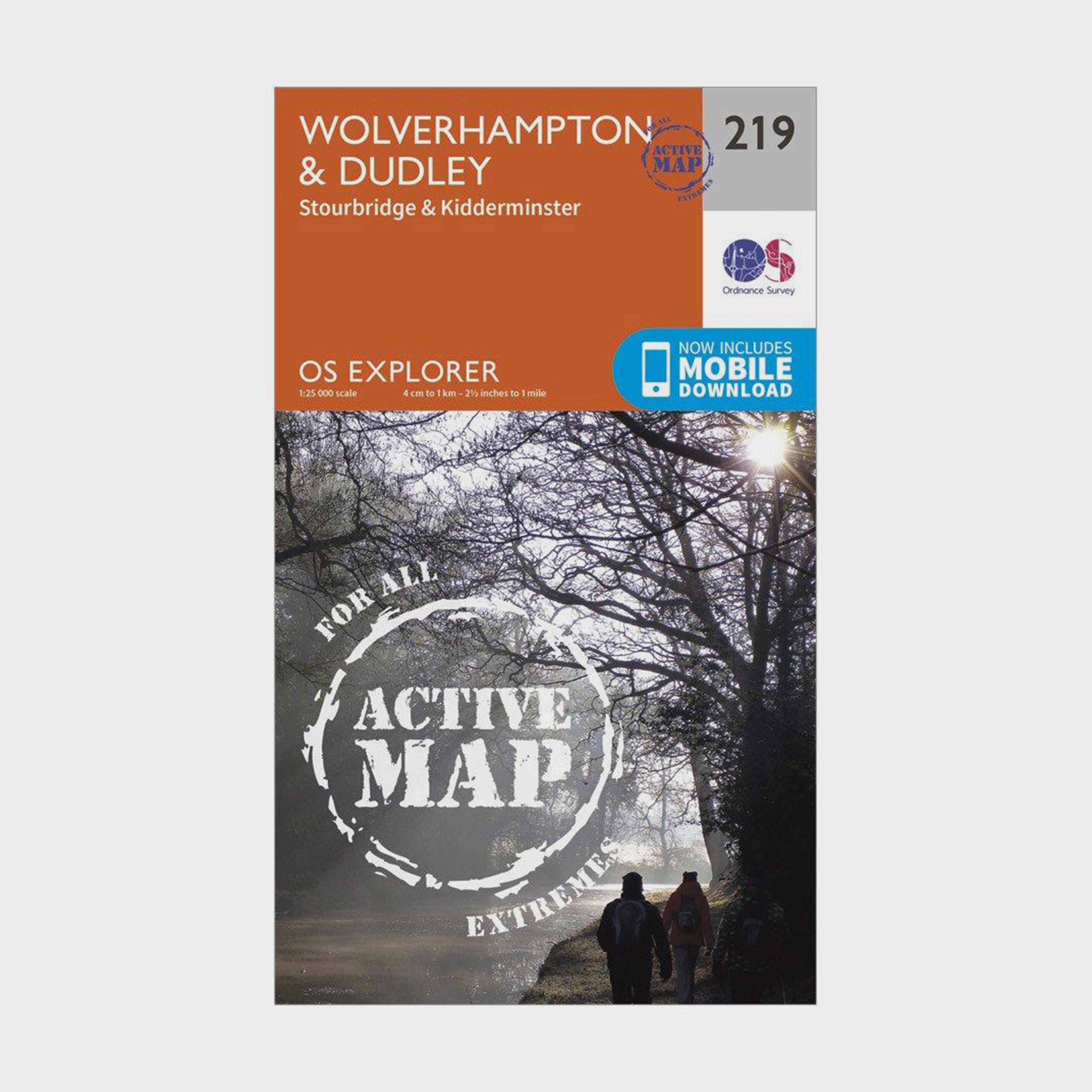
Ordnance Survey Explorer Active 219 Wolverhampton & Dudley Map With Digital Version - Orange, Orange
Providing complete GB coverage, the OS Explorer map series details information essential in the great outdoors, including youth hostels, pubs and visitor information. Rights of way, fences, permissive paths and bridleways are clearly shown, ensuring you have the best information to get the most out of...
The OS Landranger Map Active is tough, durable and weatherproof. The maps are covered in a lightweight protective plastic coating that can be written on, so your favourite routes can be easily highlighted._This map comes with a digital version which you can download to your smartphone or tablet._Go...
Ordnance Survey Explorer Active Ol 36 South Pembrokeshire Map - Orange, Orange
FeaturesPembrokeshire CPKnights' WayDaugleddau TrailLandsker Borderlands TrailSouth of the LandskerPembrokeshire Coast Path (National Trail)Haverfordwest/HwlfforddJohnstoneMilford Haven/AberdaugleddauTenby/Dinbych-y-pysgodPembrokeshire Coast National ParkDyfed1:25 000 scale (4 cm to 1 km - 2.5 inches...
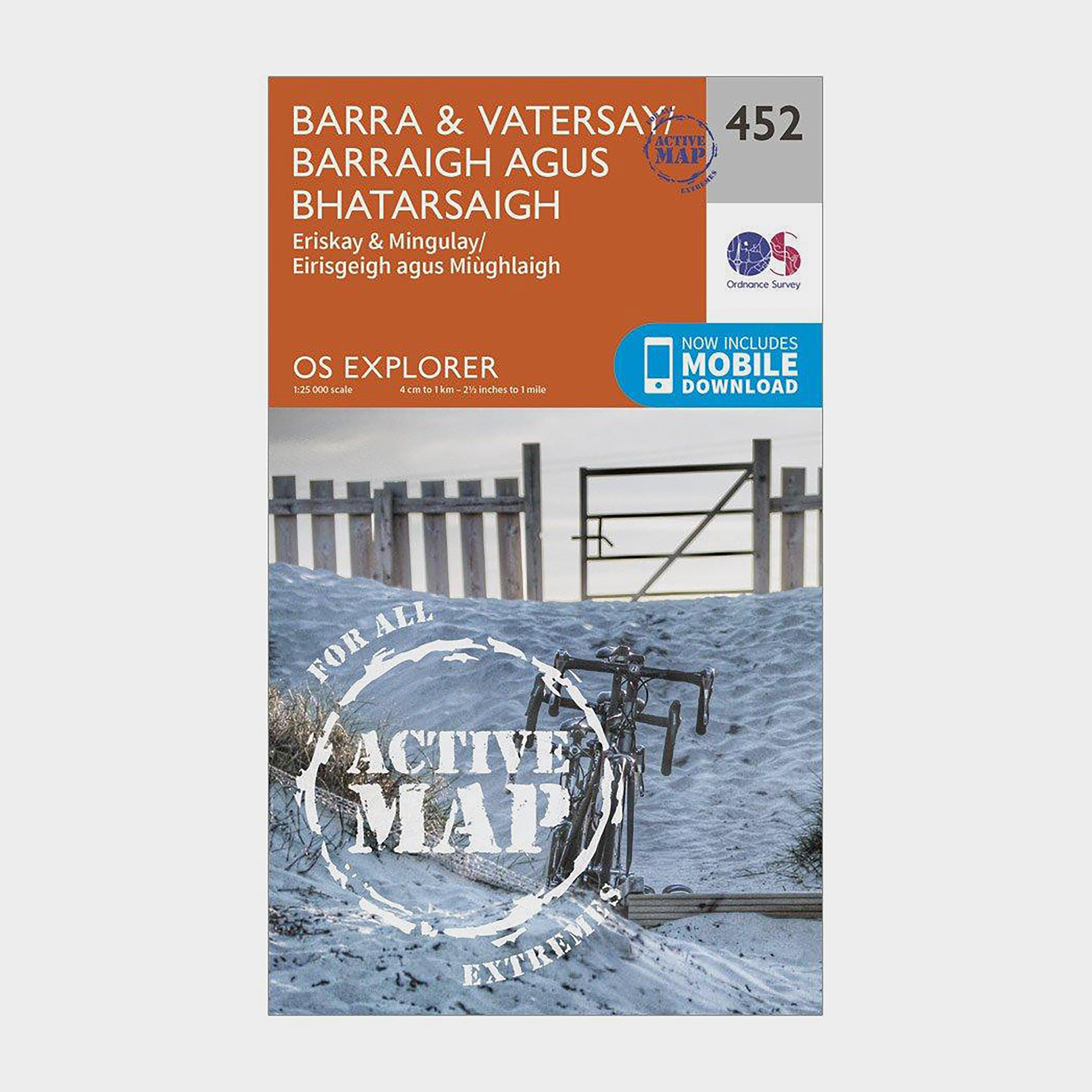
Ordnance Survey Explorer Active 452 Barra & Vatersay Map With Digital Version, D
Providing complete GB coverage, the OS Explorer map series details information essential in the great outdoors, including youth hostels, pubs and visitor information. Rights of way, fences, permissive paths and bridleways are clearly shown, ensuring you have the best information to get the most out of...
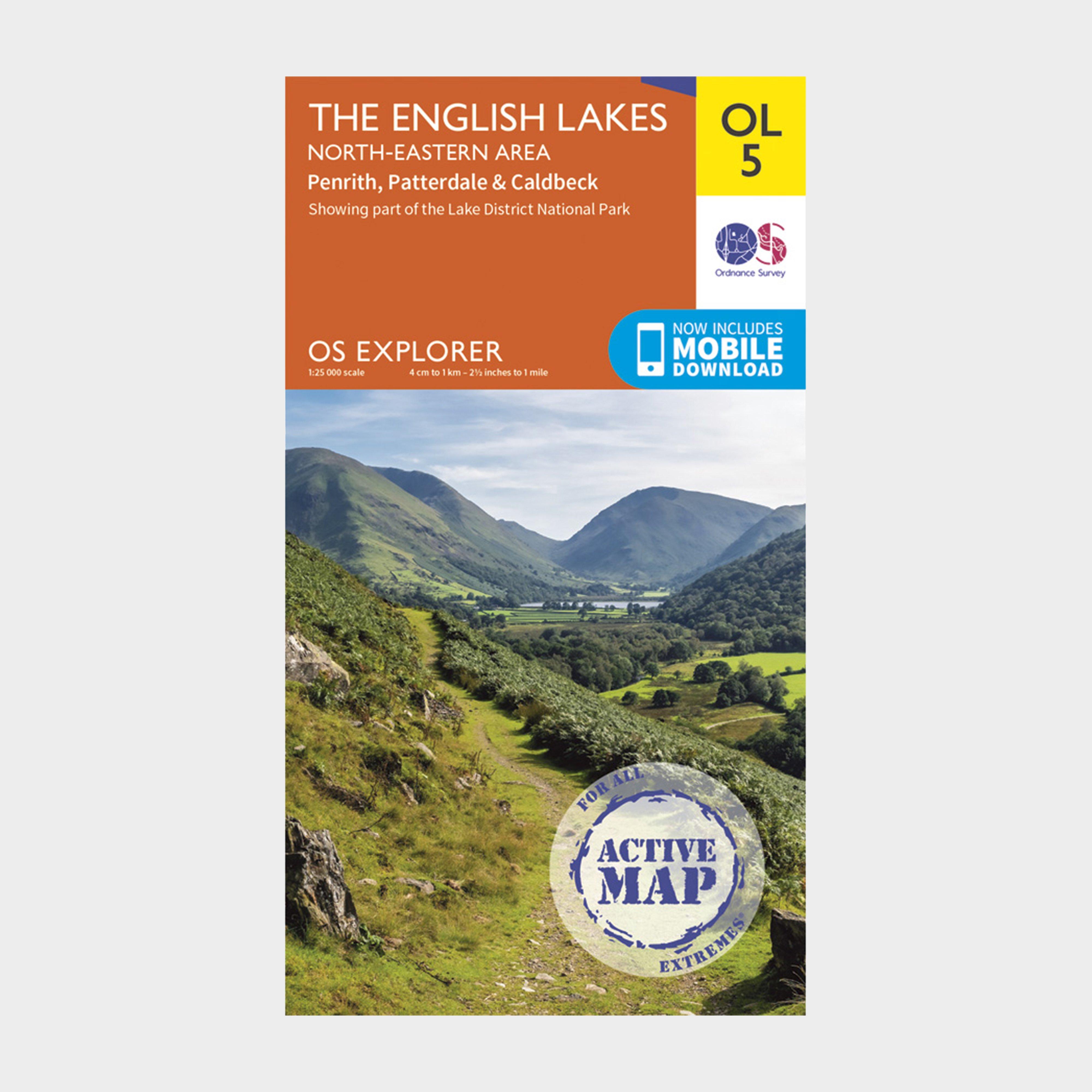
Providing complete GB coverage, the OS Explorer map series details information essential in the great outdoors, including youth hostels, pubs and visitor information. Rights of way, fences, permissive paths and bridleways are clearly shown, ensuring you have the best information to get the most out of...
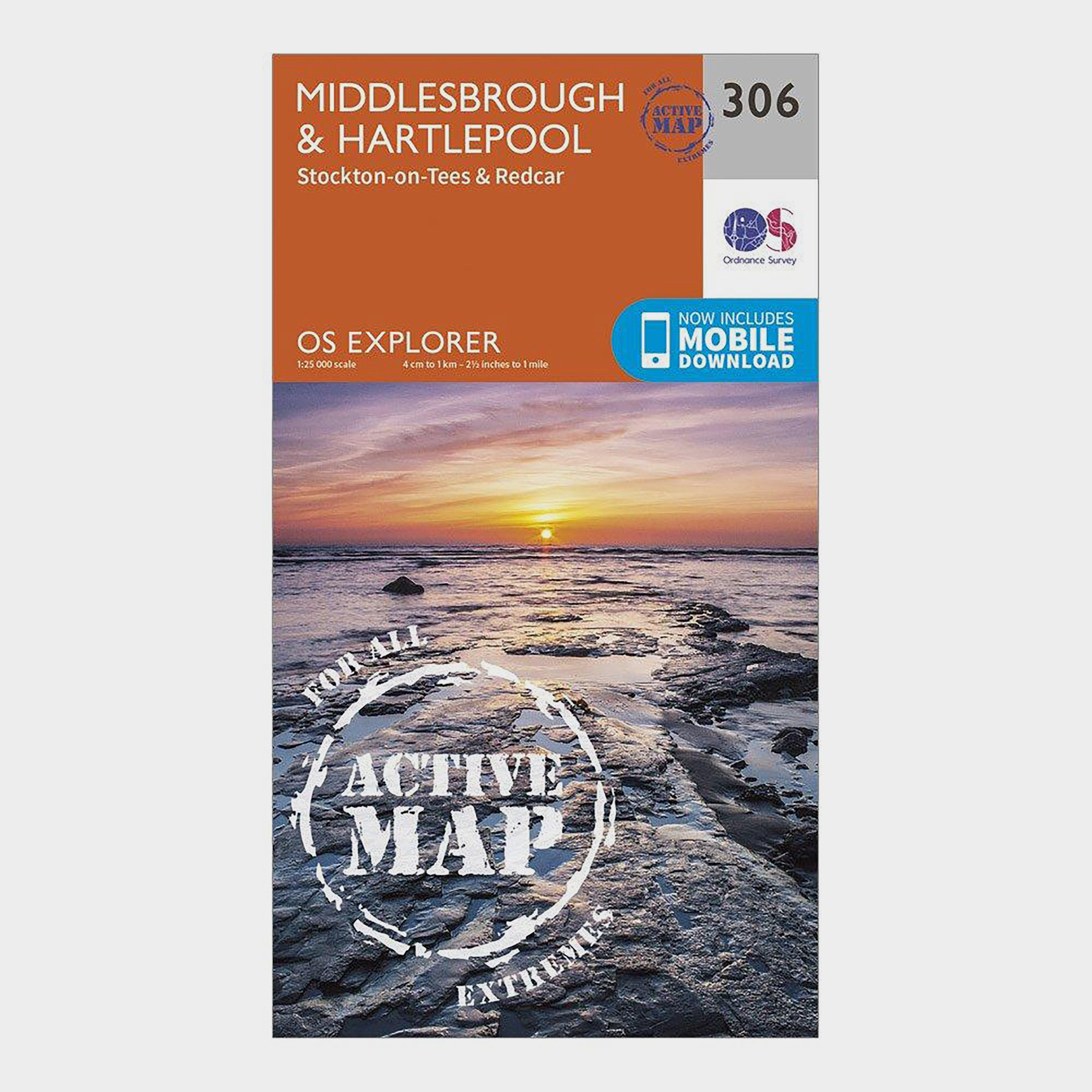
Ordnance Survey Explorer 306 Middlesbrough & Hartlepool Active Map - Orange, Orange
The essential map for outdoor activities in Middlesbrough and Hartlepool. The OS Explorer Map is the Ordnance Survey's most detailed folding map and is recommended for anyone enjoying outdoor activities including walking, horse riding and off-road cycling. This map now comes with a digital version which...
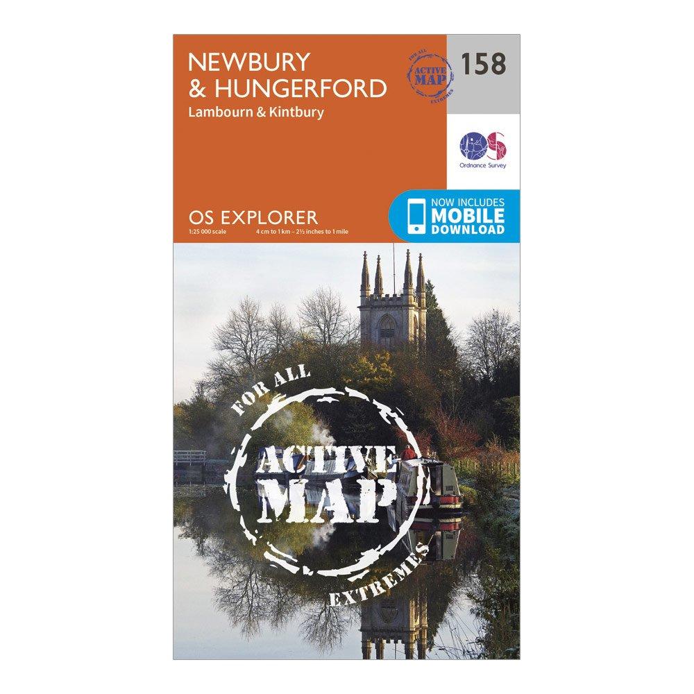
Ordnance Survey Explorer Active 158 Newbury & Hungerford Map With Digital Version, D
Providing complete GB coverage, the OS Explorer map series details information essential in the great outdoors, including youth hostels, pubs and visitor information. Rights of way, fences, permissive paths and bridleways are clearly shown, ensuring you have the best information to get the most out of...
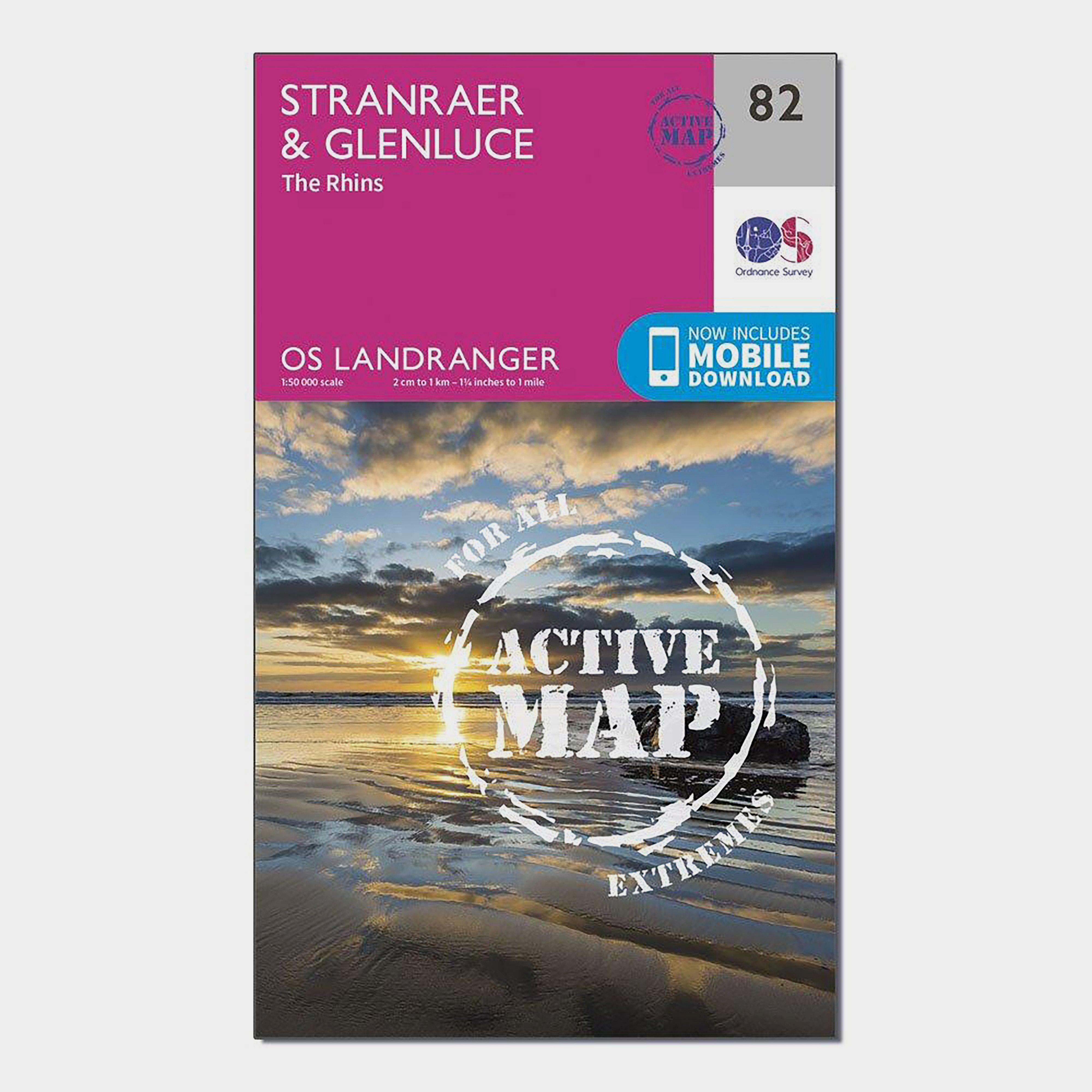
Ordnance Survey Landranger Active 82 Stranraer & Glenluce Map With Digital Version - Pink, Pink
The OS Landranger Map Active is tough, durable and weatherproof. The maps are covered in a lightweight protective plastic coating that can be written on, so your favourite routes can be easily highlighted._This map comes with a digital version which you can download to your smartphone or tablet._Go...
Providing complete GB coverage, the OS Explorer map series details information essential in the great outdoors, including youth hostels, pubs and visitor information. Rights of way, fences, permissive paths and bridleways are clearly shown, ensuring you have the best information to get the most out of...
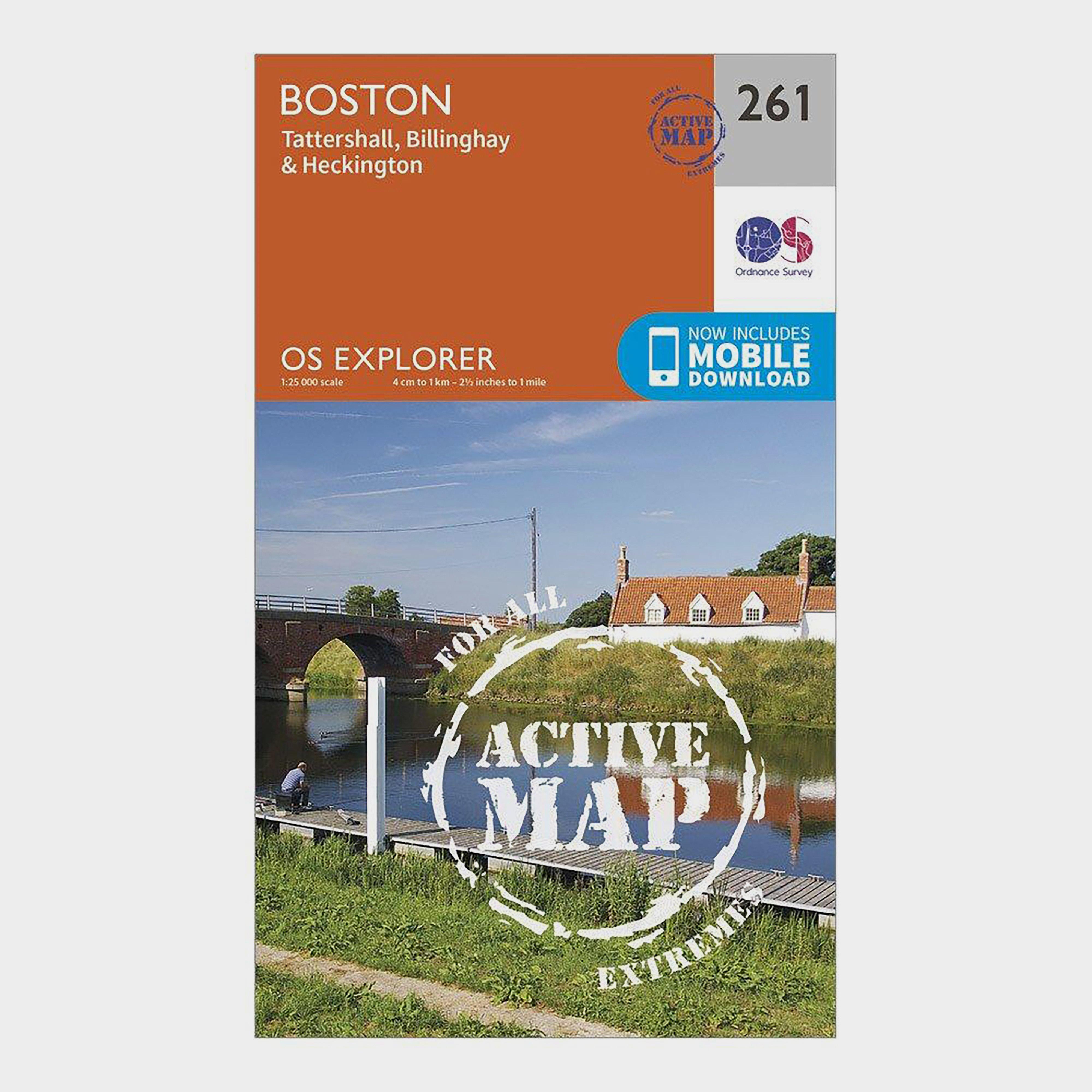
Ordnance Survey Explorer Active 261 Boston Map With Digital Version - Orange, Orange
Providing complete GB coverage, the OS Explorer map series details information essential in the great outdoors, including youth hostels, pubs and visitor information. Rights of way, fences, permissive paths and bridleways are clearly shown, ensuring you have the best information to get the most out of...

