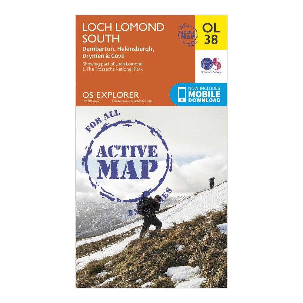
Ordnance Survey Explorer Active Ol38 Loch Lomond South Map - Orange, Orange
FeaturesLoch Lomond & The Trossachs National ParkWest Highland WayWest Highland Way (Long Distance Route)CentralStrathclydeDumbarton1:25 000 scale (4 cm to 1 km - 2.5 inches to 1 mile)Active weatherproof mapThis map comes with a digital version which you can download to your smartphone or tablet.
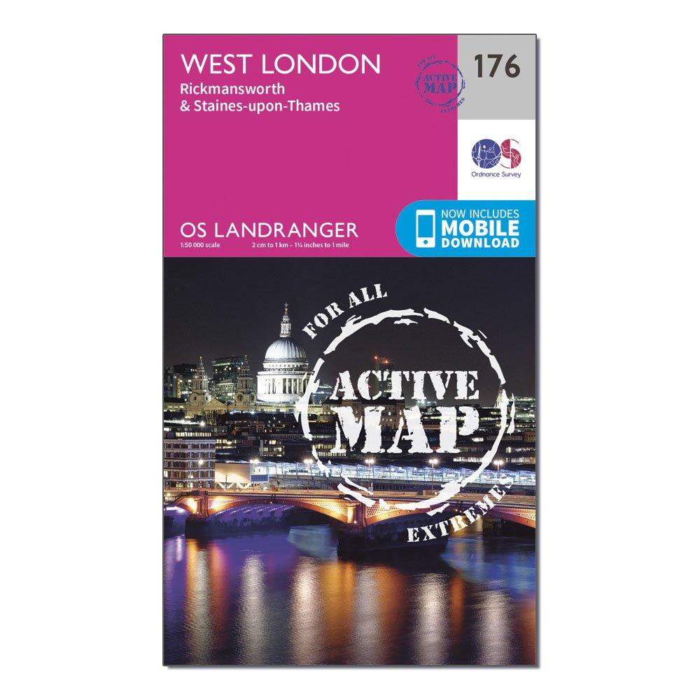
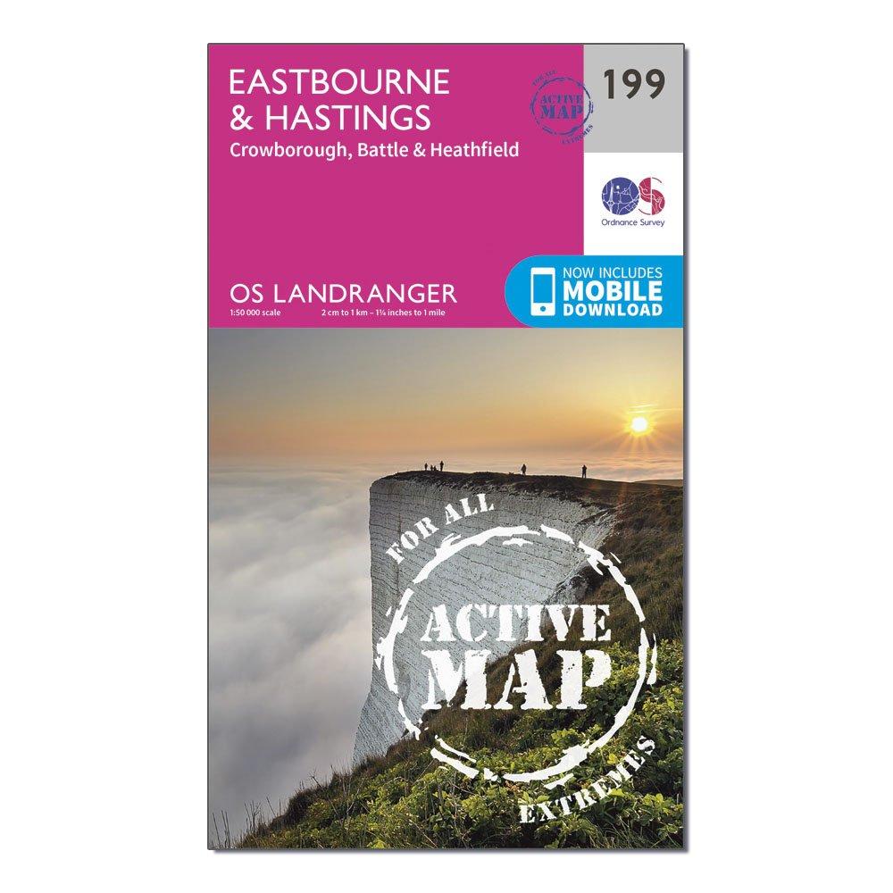
The OS Landranger Map Active is tough, durable and weatherproof. The maps are covered in a lightweight protective plastic coating that can be written on, so your favourite routes can be easily highlighted._This map comes with a digital version which you can download to your smartphone or tablet._Go...
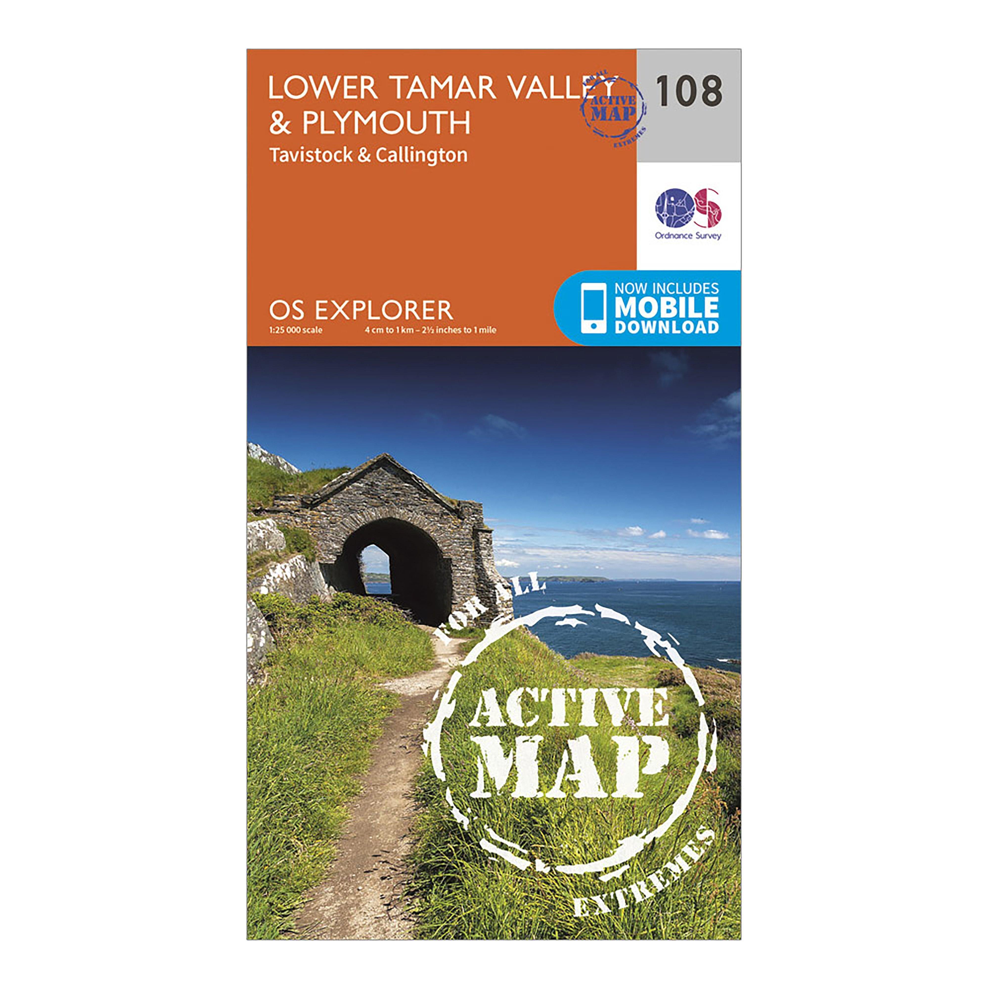
Providing complete GB coverage, the OS Explorer map series details information essential in the great outdoors, including youth hostels, pubs and visitor information. Rights of way, fences, permissive paths and bridleways are clearly shown, ensuring you have the best information to get the most out of...
Providing complete GB coverage, the OS Explorer map series details information essential in the great outdoors, including youth hostels, pubs and visitor information. Rights of way, fences, permissive paths and bridleways are clearly shown, ensuring you have the best information to get the most out of...
Providing complete GB coverage, the OS Explorer map series details information essential in the great outdoors, including youth hostels, pubs and visitor information. Rights of way, fences, permissive paths and bridleways are clearly shown, ensuring you have the best information to get the most out of...
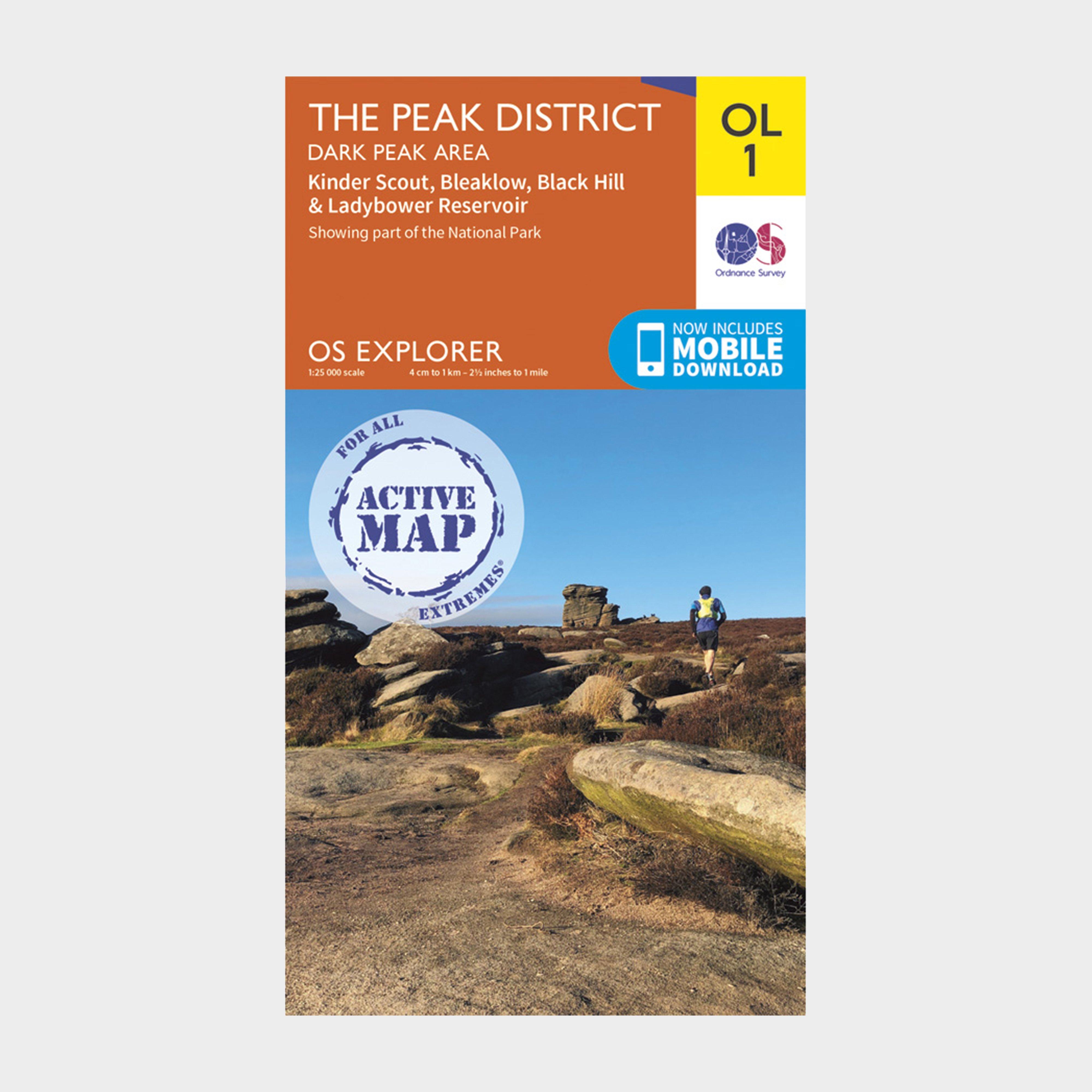
Ordnance Survey Explorer Active Ol1 The Peak District - Dark Peak Area Map - Orange, Orange
FeaturesPennine WayPennine BridlewayGritstone TrailLimestone WayMiddlewood WayCheshire Ring Canal WalkKirklees WayDearne WayHolme Valley Circular WalkOldham WayGoyt WayLongdendale TrailCown Edge WayMedlock Valley WayStandedge TrailCrompton CircuitHills and Hamlets WalkMidshires WayDove Valley TrailBarnsley...
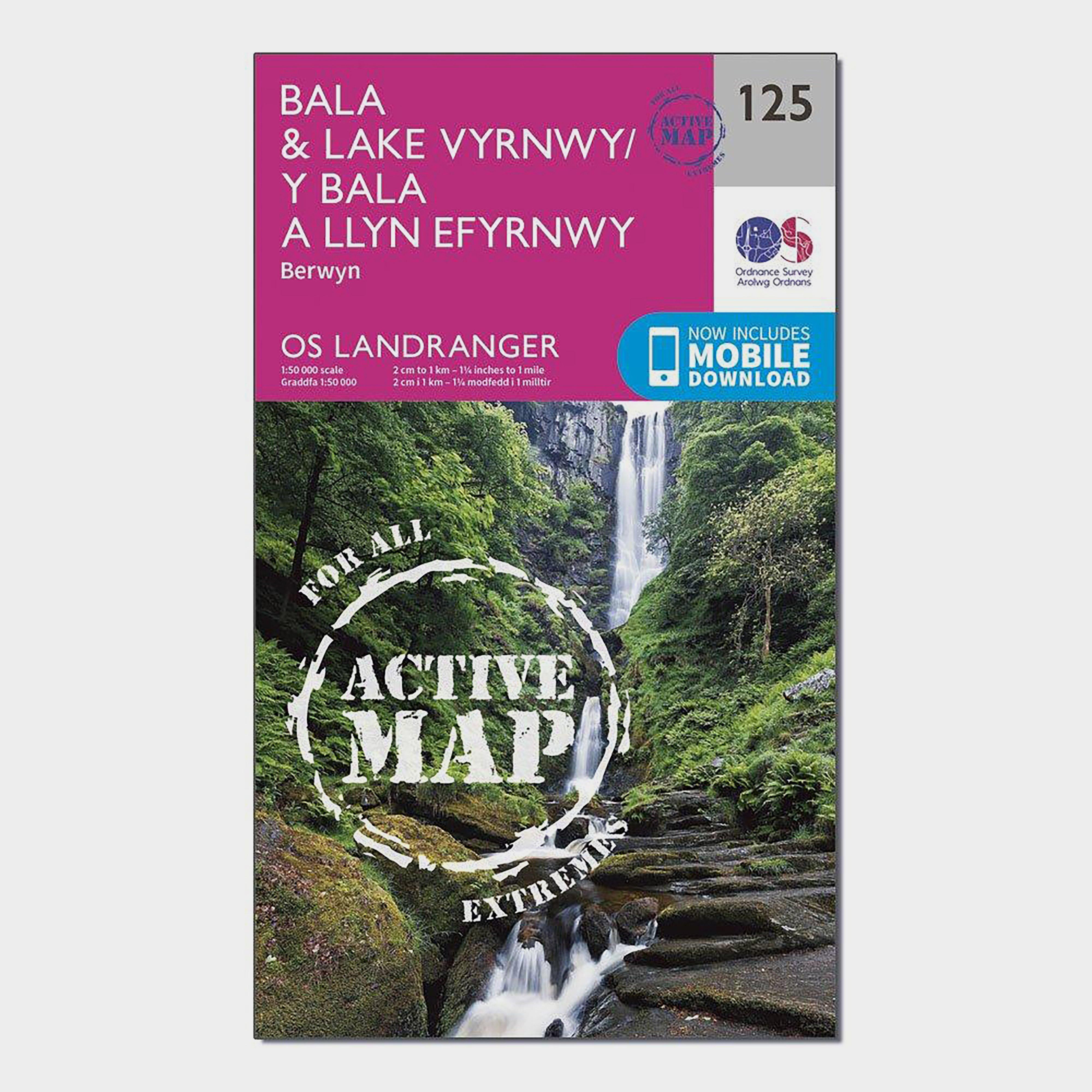
Ordnance Survey Landranger Active 125 Bala & Lake Vyrnwy Map With Digital Version - Pink, Pink
The OS Landranger Map Active is tough, durable and weatherproof. The maps are covered in a lightweight protective plastic coating that can be written on, so your favourite routes can be easily highlighted._This map comes with a digital version which you can download to your smartphone or tablet._Go...
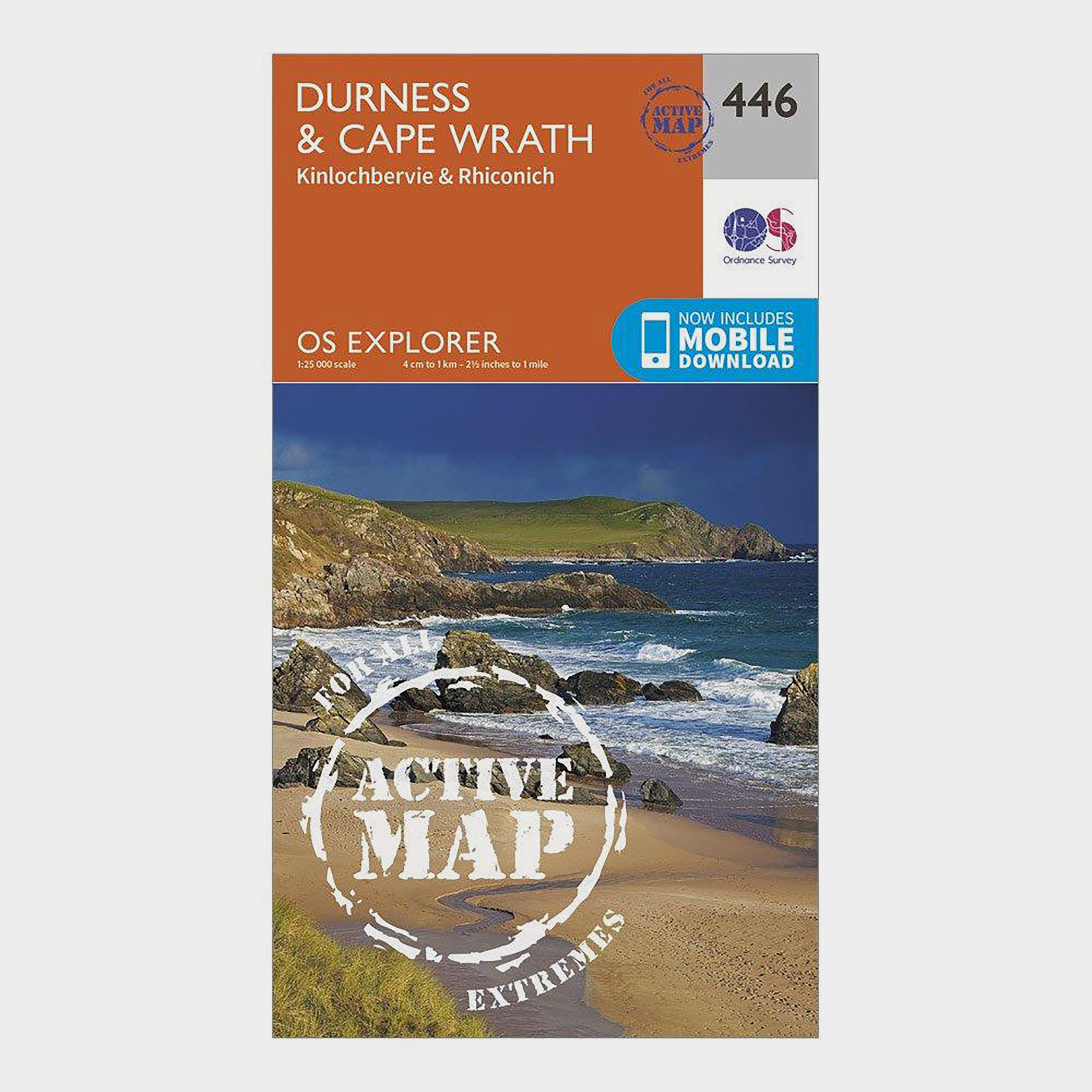
Ordnance Survey Explorer Active 446 Durness & Cape Wrath Map With Digital Version - Orange, Orange
Providing complete GB coverage, the OS Explorer map series details information essential in the great outdoors, including youth hostels, pubs and visitor information. Rights of way, fences, permissive paths and bridleways are clearly shown, ensuring you have the best information to get the most out of...
Providing complete GB coverage, the OS Explorer map series details information essential in the great outdoors, including youth hostels, pubs and visitor information. Rights of way, fences, permissive paths and bridleways are clearly shown, ensuring you have the best information to get the most out of...
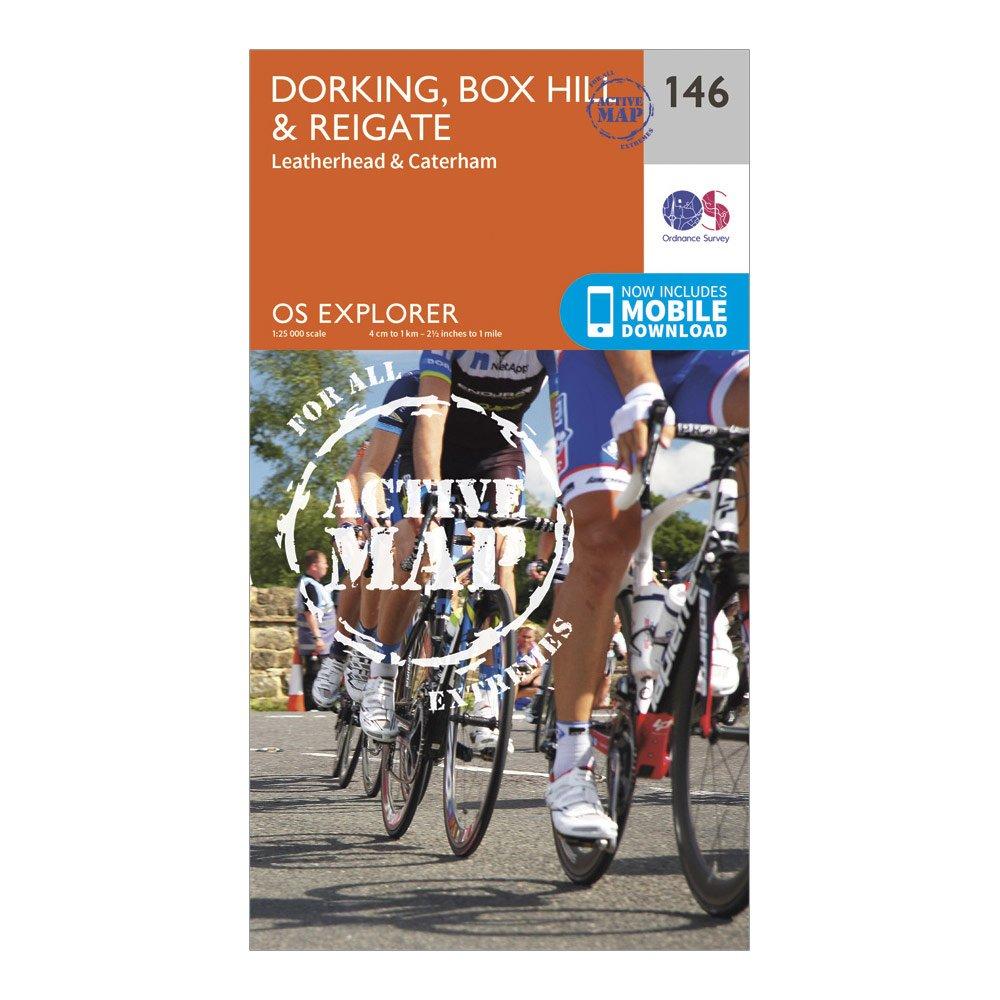
Ordnance Survey Explorer Active 146 Dorking, Box Hill & Reigate Map With Digital Version, D
Providing complete GB coverage, the OS Explorer map series details information essential in the great outdoors, including youth hostels, pubs and visitor information. Rights of way, fences, permissive paths and bridleways are clearly shown, ensuring you have the best information to get the most out of...
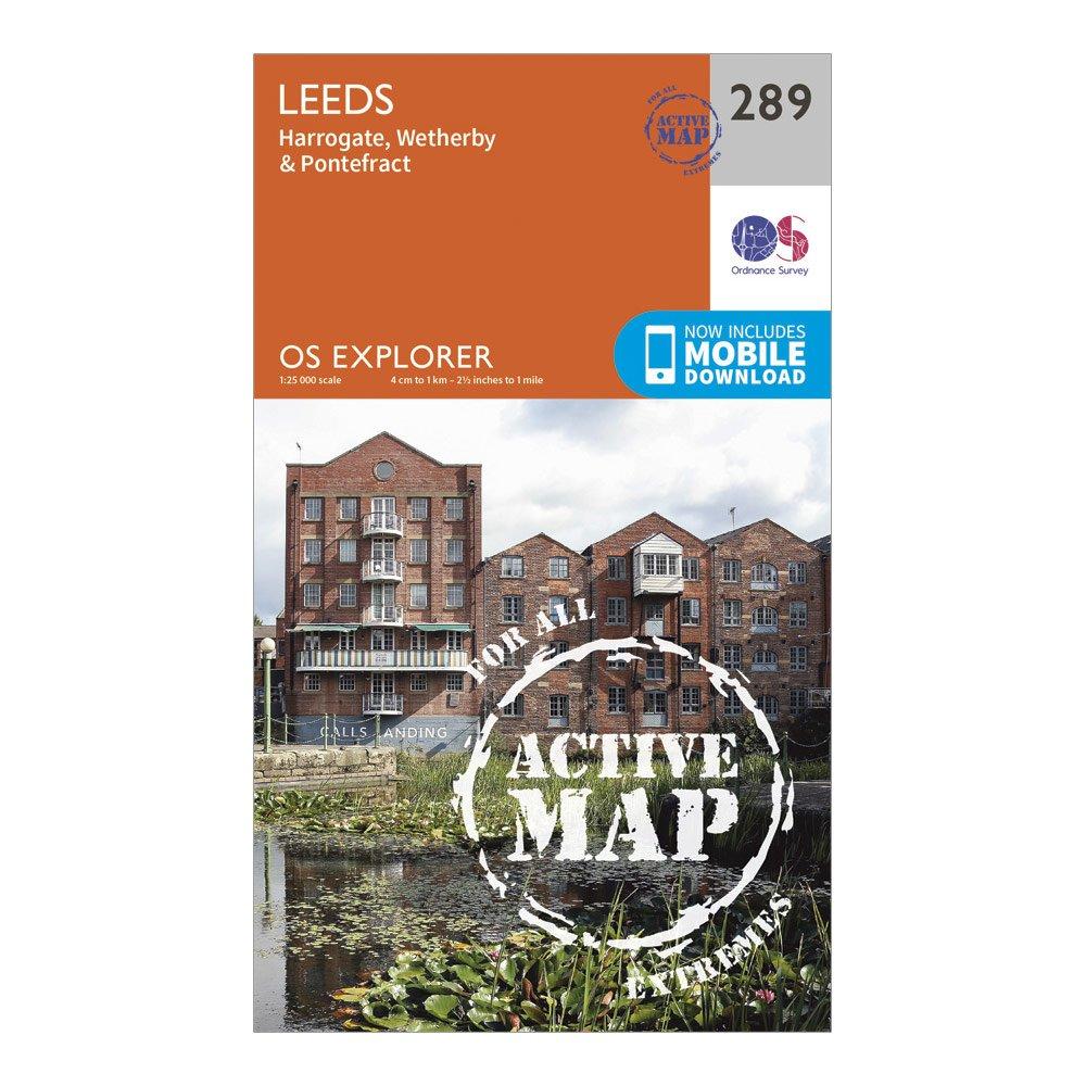
Ordnance Survey Explorer Active 289 Leeds Map With Digital Version, D
Providing complete GB coverage, the OS Explorer map series details information essential in the great outdoors, including youth hostels, pubs and visitor information. Rights of way, fences, permissive paths and bridleways are clearly shown, ensuring you have the best information to get the most out of...

