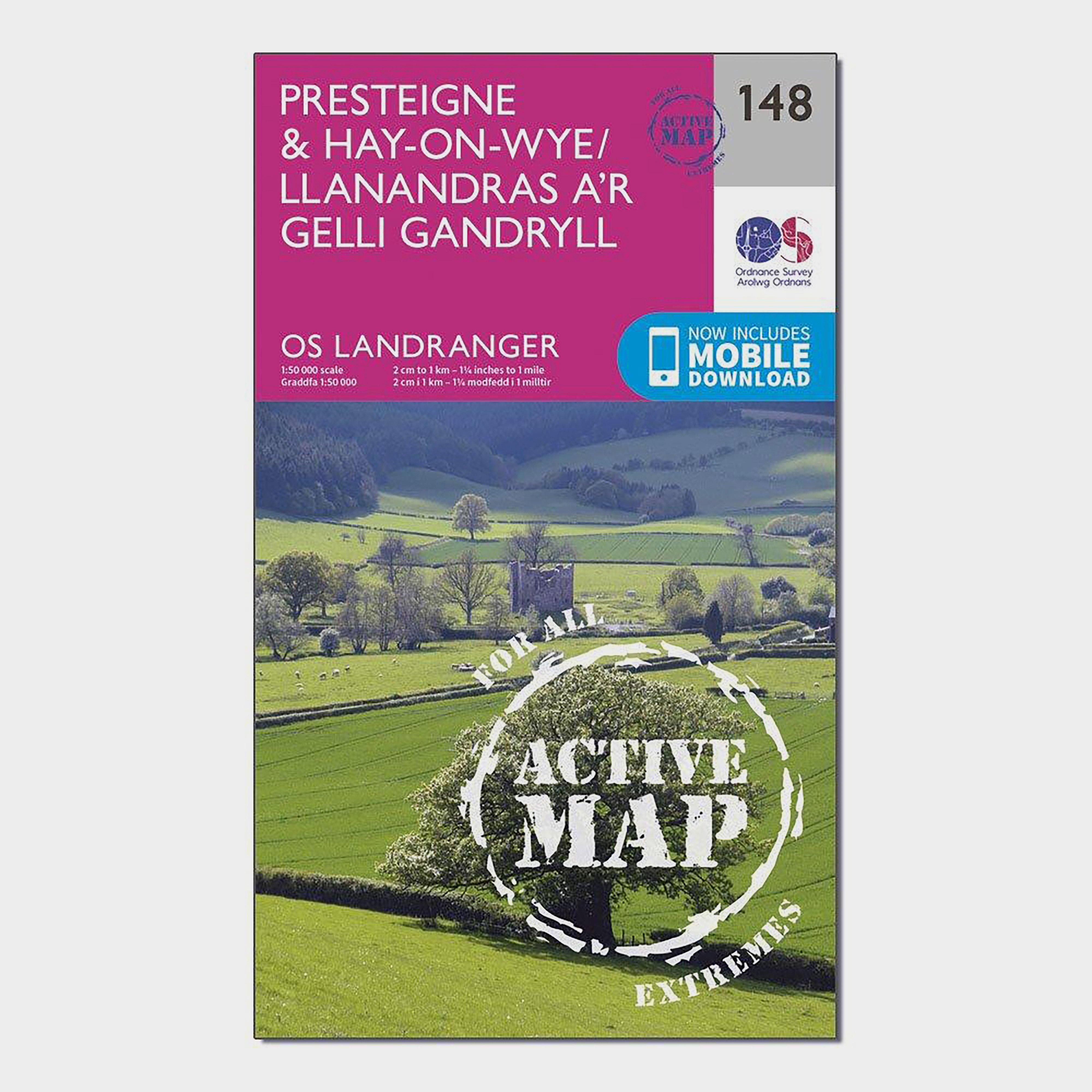
Ordnance Survey Landranger Active 148 Presteigne & Hay-On-Wye Map With Digital Version - Pink, Pink
The OS Landranger Map Active is tough, durable and weatherproof. The maps are covered in a lightweight protective plastic coating that can be written on, so your favourite routes can be easily highlighted._This map comes with a digital version which you can download to your smartphone or tablet._Go...
The OS Landranger Map Active is tough, durable and weatherproof. The maps are covered in a lightweight protective plastic coating that can be written on, so your favourite routes can be easily highlighted._This map comes with a digital version which you can download to your smartphone or tablet._Go...
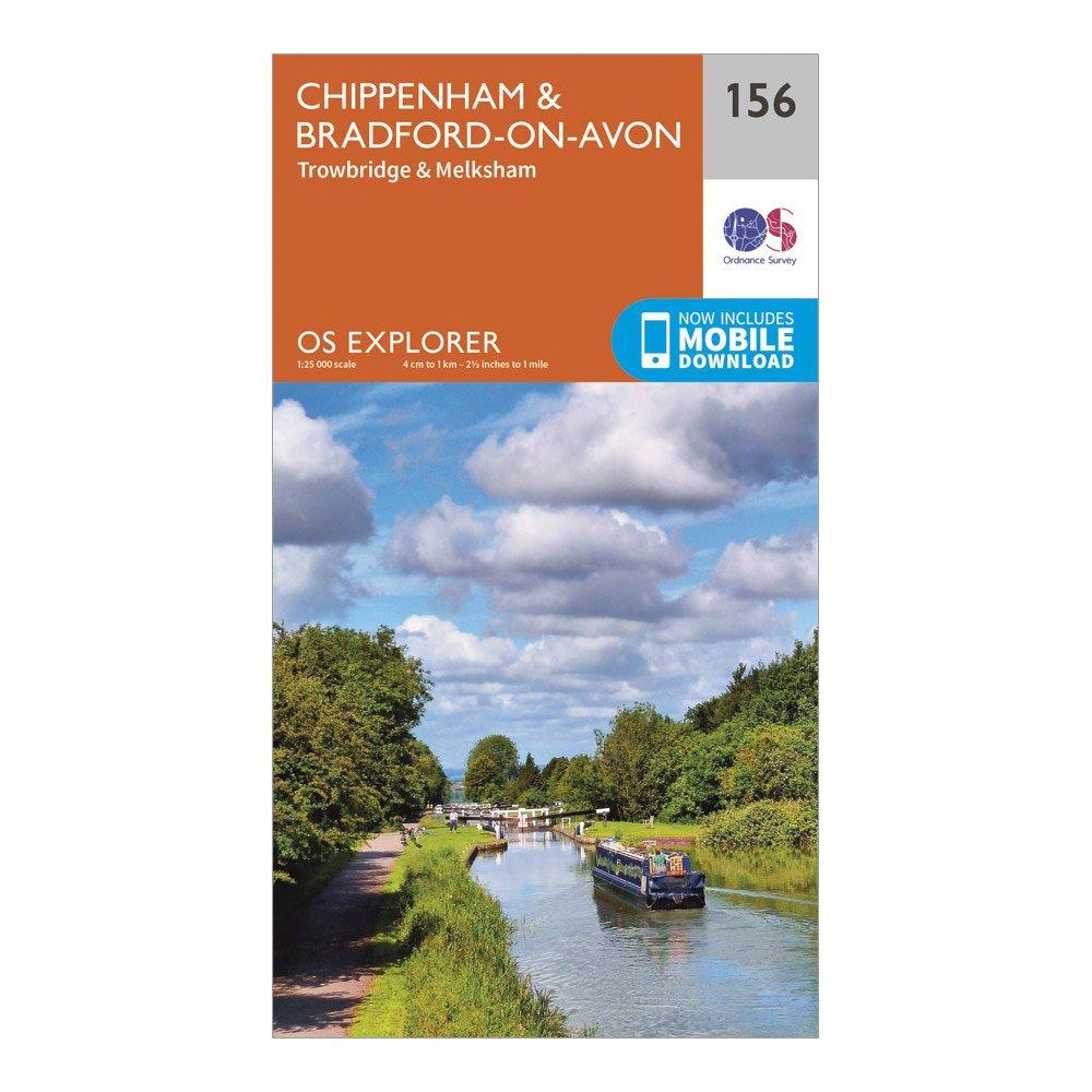
Ordnance Survey Explorer 156 Chippenham & Bradford-On-Avon Map With Digital Version - Orange, Orange
Providing complete GB coverage, the OS Explorer map series details information essential in the great outdoors, including youth hostels, pubs and visitor information. Rights of way, fences, permissive paths and bridleways are clearly shown, ensuring you have the best information to get the most out of...
Providing complete GB coverage, the OS Explorer map series details information essential in the great outdoors, including youth hostels, pubs and visitor information. Rights of way, fences, permissive paths and bridleways are clearly shown, ensuring you have the best information to get the most out of...
This map comes with a digital version which you can download to your smartphone or tablet.Go to OS.uk/redeem for more details (terms and conditions apply).Scratch off the panel on the inside cover of the map to reveal a code, you are then just three easy steps away from downloading your digital map.If...
Ordnance Survey Landranger Active 13 West Lewis & North Harris Map With Digital Version - Pink, Pink
The OS Landranger Map Active is tough, durable and weatherproof. The maps are covered in a lightweight protective plastic coating that can be written on, so your favourite routes can be easily highlighted._This map comes with a digital version which you can download to your smartphone or tablet._Go...
Ordnance Survey Landranger 15 Loch Assynt, Lochinvar & Kylesku Map With Digital Version - Pink, Pink
This map comes with a digital version which you can download to your smartphone or tablet.Go to OS.uk/redeem for more details (terms and conditions apply).Scratch off the panel on the inside cover of the map to reveal a code, you are then just three easy steps away from downloading your digital map.If...
Ordnance Survey Explorer Ol 34 Crawley & Horsham Map - Orange, Orange
FeaturesSussex Border PathGreensand WayWey-South PathWorth Way (West Sussex)Downs LinkHigh Weald Landscape TrailSurreyWest SussexCrawleyHorsham1:25 000 scale (4 cm to 1 km - 2.5 inches to 1 mile) This map comes with a digital version which you can download to your smartphone or tablet
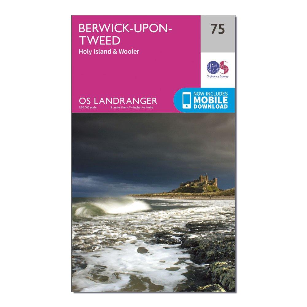
Ordnance Survey Landranger 75 Berwick-Upon-Tweed Map With Digital Version - Pink, Pink
This map comes with a digital version which you can download to your smartphone or tablet.Go to OS.uk/redeem for more details (terms and conditions apply).Scratch off the panel on the inside cover of the map to reveal a code, you are then just three easy steps away from downloading your digital map.If...
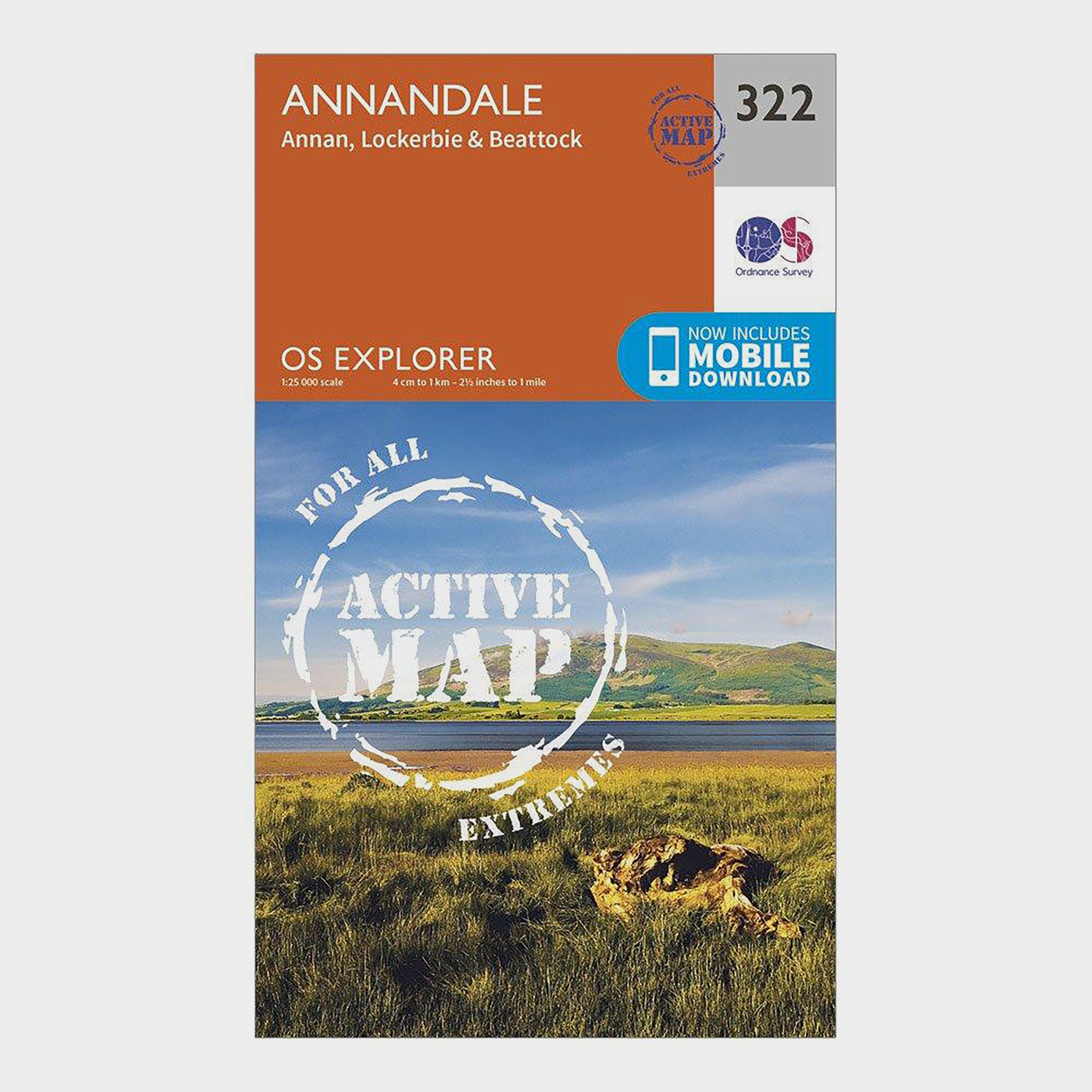
Ordnance Survey Explorer Active 322 Annandale Map With Digital Version - Orange, Orange
Providing complete GB coverage, the OS Explorer map series details information essential in the great outdoors, including youth hostels, pubs and visitor information. Rights of way, fences, permissive paths and bridleways are clearly shown, ensuring you have the best information to get the most out of...
Providing complete GB coverage, the OS Explorer map series details information essential in the great outdoors, including youth hostels, pubs and visitor information. Rights of way, fences, permissive paths and bridleways are clearly shown, ensuring you have the best information to get the most out of...
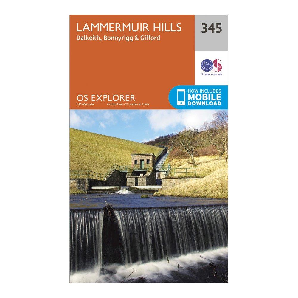
Ordnance Survey Explorer 345 Lammermuir Hills Map With Digital Version - Orange, Orange
Providing complete GB coverage, the OS Explorer map series details information essential in the great outdoors, including youth hostels, pubs and visitor information. Rights of way, fences, permissive paths and bridleways are clearly shown, ensuring you have the best information to get the most out of...
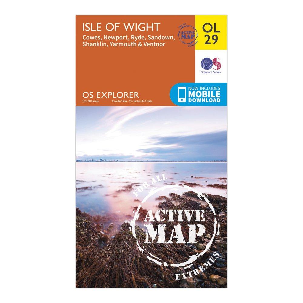
Ordnance Survey Explorer Active Ol 29 Isle Of Wight Map - Orange, Orange
FeaturesIsle of Wight CPBembridge TrailCoastal PathFreshwater WayHamstead TrailNunwell TrailShepherds TrailStenbury TrailTennyson TrailWorsley TrailSolent WayKings WayYar River TrailCowesGosportLymingtonNewportPortsmouthRydeIsle of Wight1:25 000 scale (4 cm to 1 km - 2.5 inches to 1 mile)This map comes...
The OS Landranger Map Active is tough, durable and weatherproof. The maps are covered in a lightweight protective plastic coating that can be written on, so your favourite routes can be easily highlighted._This map comes with a digital version which you can download to your smartphone or tablet._Go...
The OS Landranger Map Active is tough, durable and weatherproof. The maps are covered in a lightweight protective plastic coating that can be written on, so your favourite routes can be easily highlighted._This map comes with a digital version which you can download to your smartphone or tablet._Go...