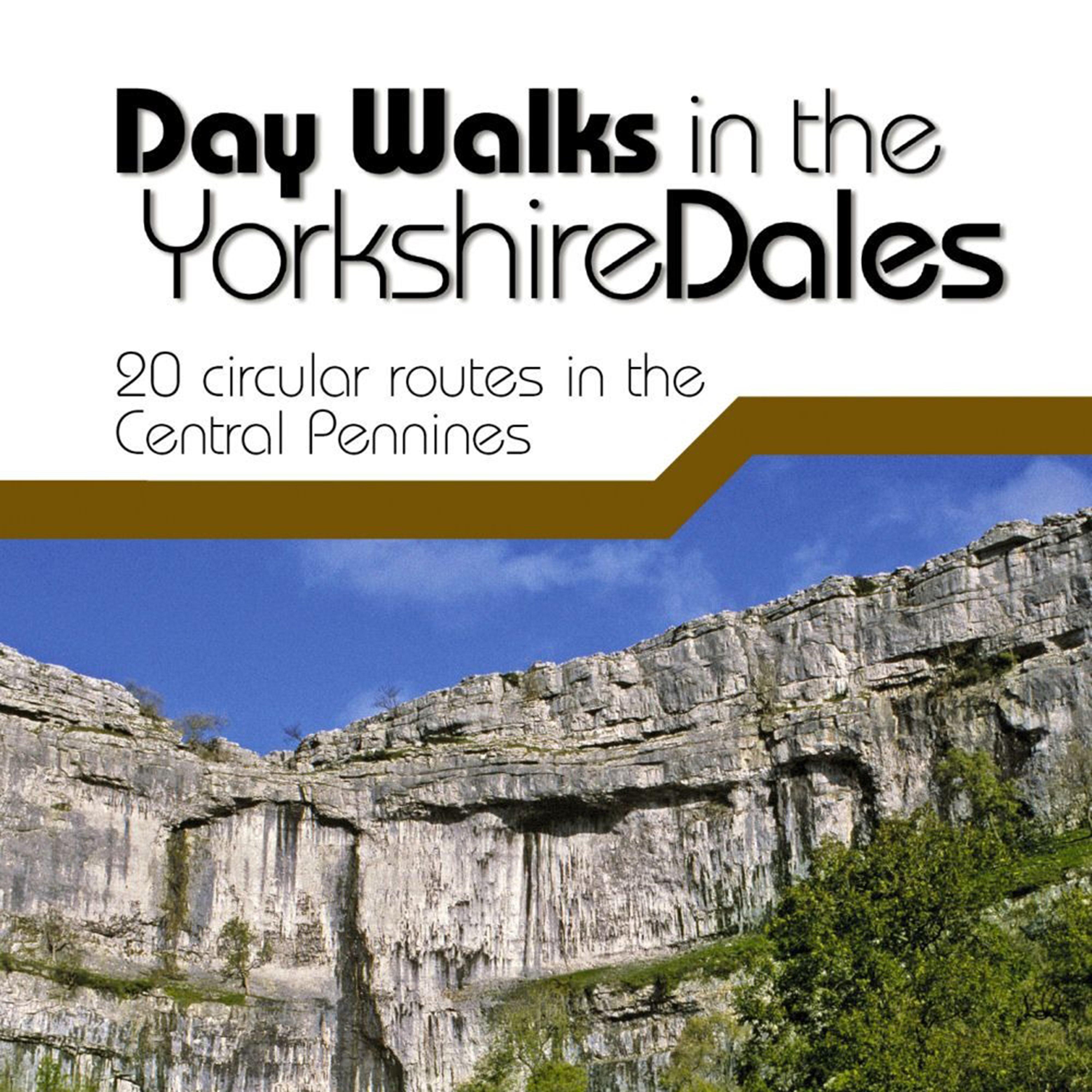
CLEARANCE Day Walks In The Yorkshire Dales Book, Multi Coloured
Day Walks in the Yorkshire Dales is the fourth title in Vertebrate Publishing's series of compact and portable hill walking guidebooks. This book showcases 20 circular routes in the Yorkshire Dales National Park, between 6 and 11 miles (10km and 17km) in length, suitable for hill walkers of all abilities._The...

Hitchman Wastemaster Waste Water Carrier, White
The Hitchman Wastemaster is designed to allow easy transportation of non-toilet waste from your caravan.__ It will fit easily under your caravan. The ledge is designed for a caravan toilet, which can then be fastened to the Wastemaster using luggage elastics (supplied with the product).

OLPRO 30 Litre Foldable Dustbin, Grey
The 30L Foldable Dustbin from OLPRO, a versatile and convenient solution for keeping your camping, caravan, or outdoor adventure clean and tidy. This innovative dustbin is designed to provide maximum functionality while taking up minimal space when not in use.Crafted from durable and waterproof materials,...

OLPRO 9 Litre Folding Camping Bin Hanging Or Free Standing, Grey
The 9L Folding Camping Bin from OLPRO, the ultimate solution for keeping your campsite tidy and organized. Designed with convenience and portability in mind, this versatile camping bin offers both hanging and free-standing functionality, making it an essential accessory for outdoor enthusiasts.The innovative...

OLPRO Collapsible Eco Folding Bin Frame, Black
The OLPRO Adjustable Folding Bin is a lightweight, space-saving, and multi-purpose bin, ideal for camping, motorhomes, caravans, and outdoor use. With three adjustable height settings and a compact fold-down design, it's the perfect travel bin for waste disposal, storage, or general use on your adventures.Key...
Providing complete GB coverage, the OS Explorer map series details information essential in the great outdoors, including youth hostels, pubs and visitor information. Rights of way, fences, permissive paths and bridleways are clearly shown, ensuring you have the best information to get the most out of...
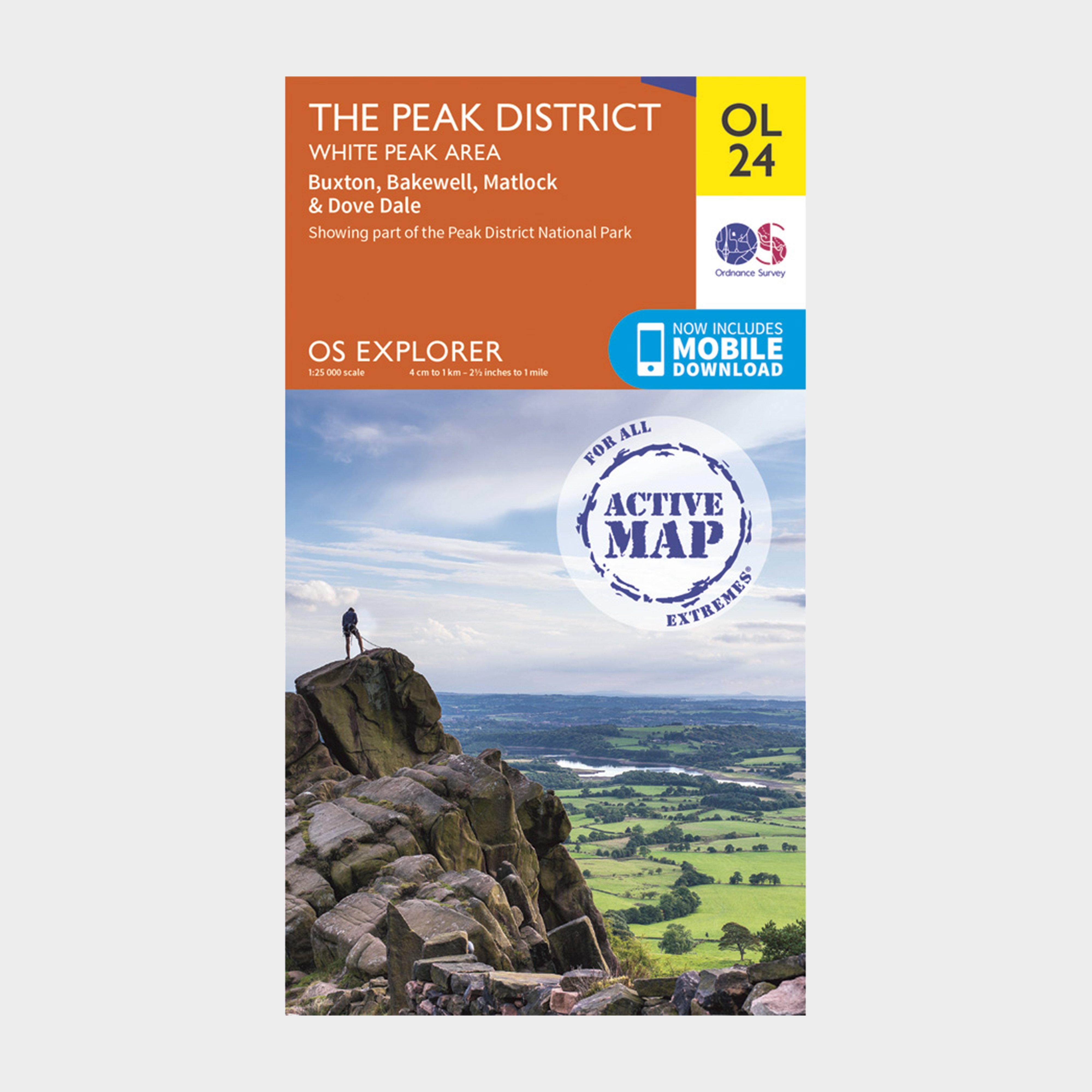
Ordnance Survey Active Explorer Ol 24 The Peak District (White Peak Area) Map - Orange, Orange
Providing complete GB coverage, the OS Explorer map series details information essential in the great outdoors, including youth hostels, pubs and visitor information. Rights of way, fences, permissive paths and bridleways are clearly shown, ensuring you have the best information to get the most out...
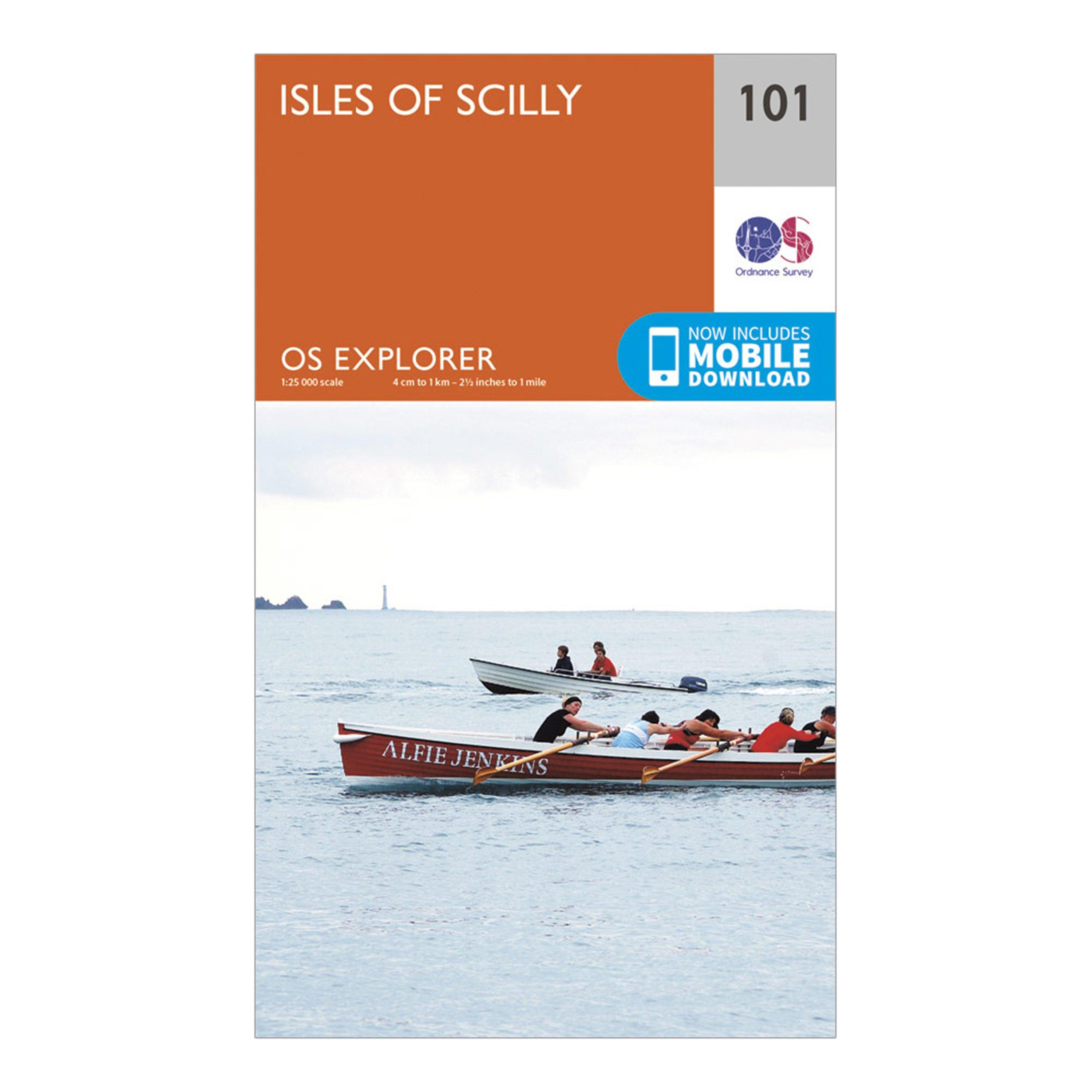
Ordnance Survey Explorer 101 Isles Of Scilly Map With Digital Version - Orange, Orange
Providing complete GB coverage, the OS Explorer map series details information essential in the great outdoors, including youth hostels, pubs and visitor information. Rights of way, fences, permissive paths and bridleways are clearly shown, ensuring you have the best information to get the most out of...
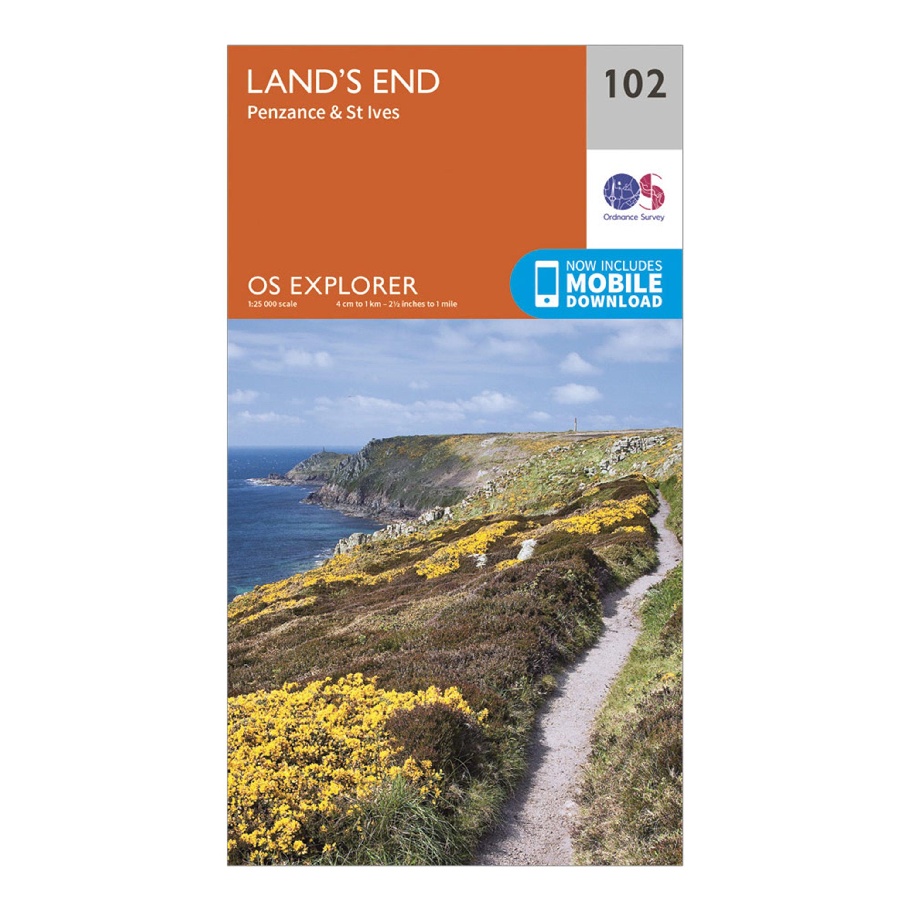
Ordnance Survey Explorer 102 Land's End Map With Digital Version - Orange, Orange
Providing complete GB coverage, the OS Explorer map series details information essential in the great outdoors, including youth hostels, pubs and visitor information. Rights of way, fences, permissive paths and bridleways are clearly shown, ensuring you have the best information to get the most out of...
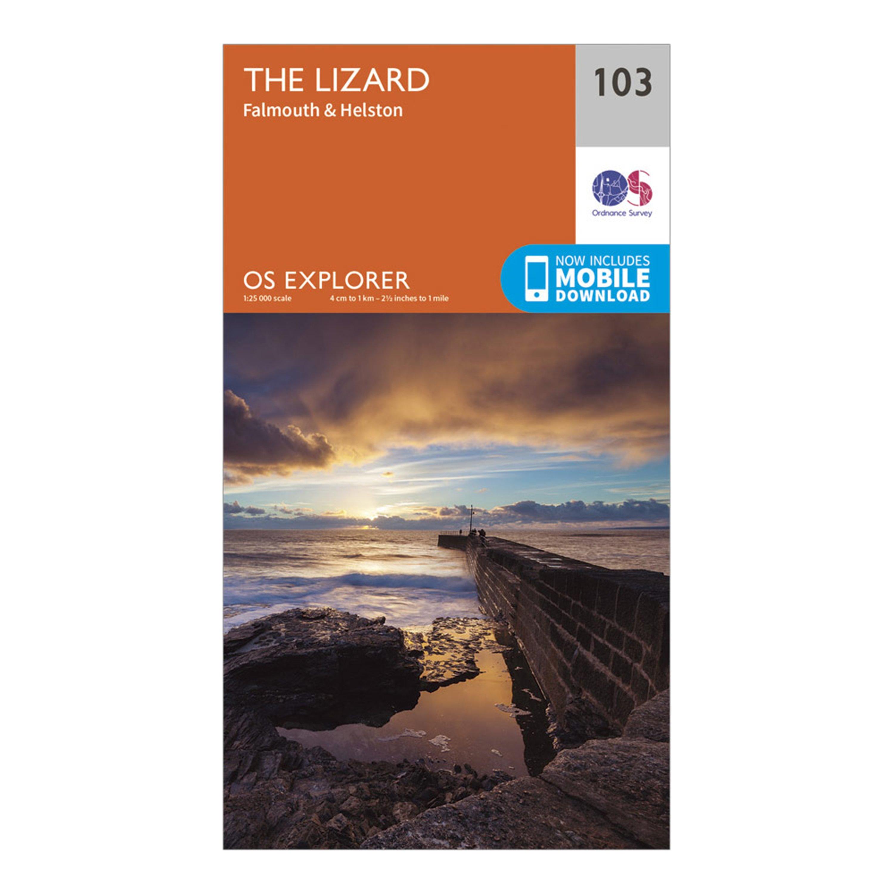
Ordnance Survey Explorer 103 The Lizard Map With Digital Version - Orange, Orange
Providing complete GB coverage, the OS Explorer map series details information essential in the great outdoors, including youth hostels, pubs and visitor information. Rights of way, fences, permissive paths and bridleways are clearly shown, ensuring you have the best information to get the most out of...
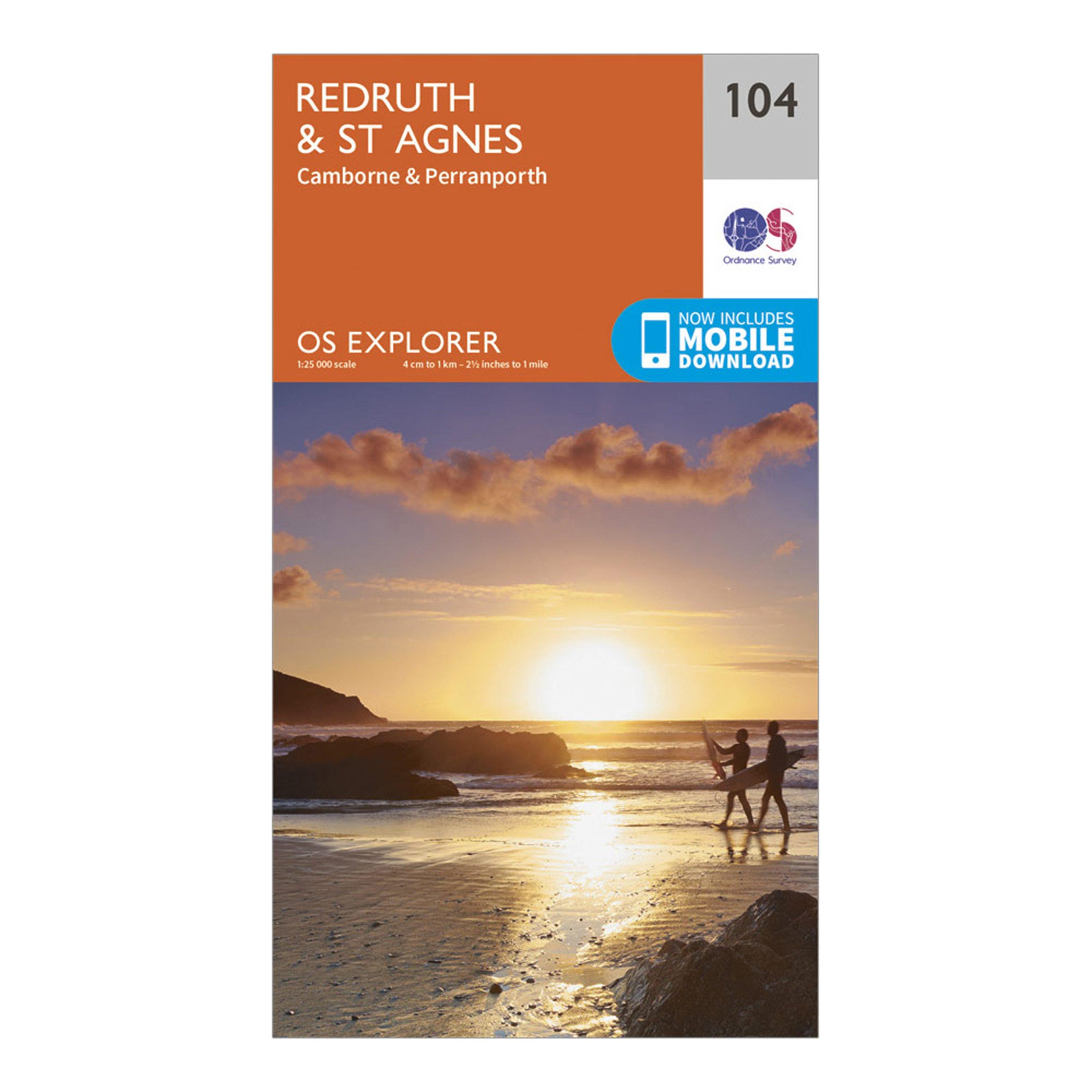
Ordnance Survey Explorer 104 Redruth & St Agnes Map With Digital Version - Orange, Orange
Providing complete GB coverage, the OS Explorer map series details information essential in the great outdoors, including youth hostels, pubs and visitor information. Rights of way, fences, permissive paths and bridleways are clearly shown, ensuring you have the best information to get the most out of...
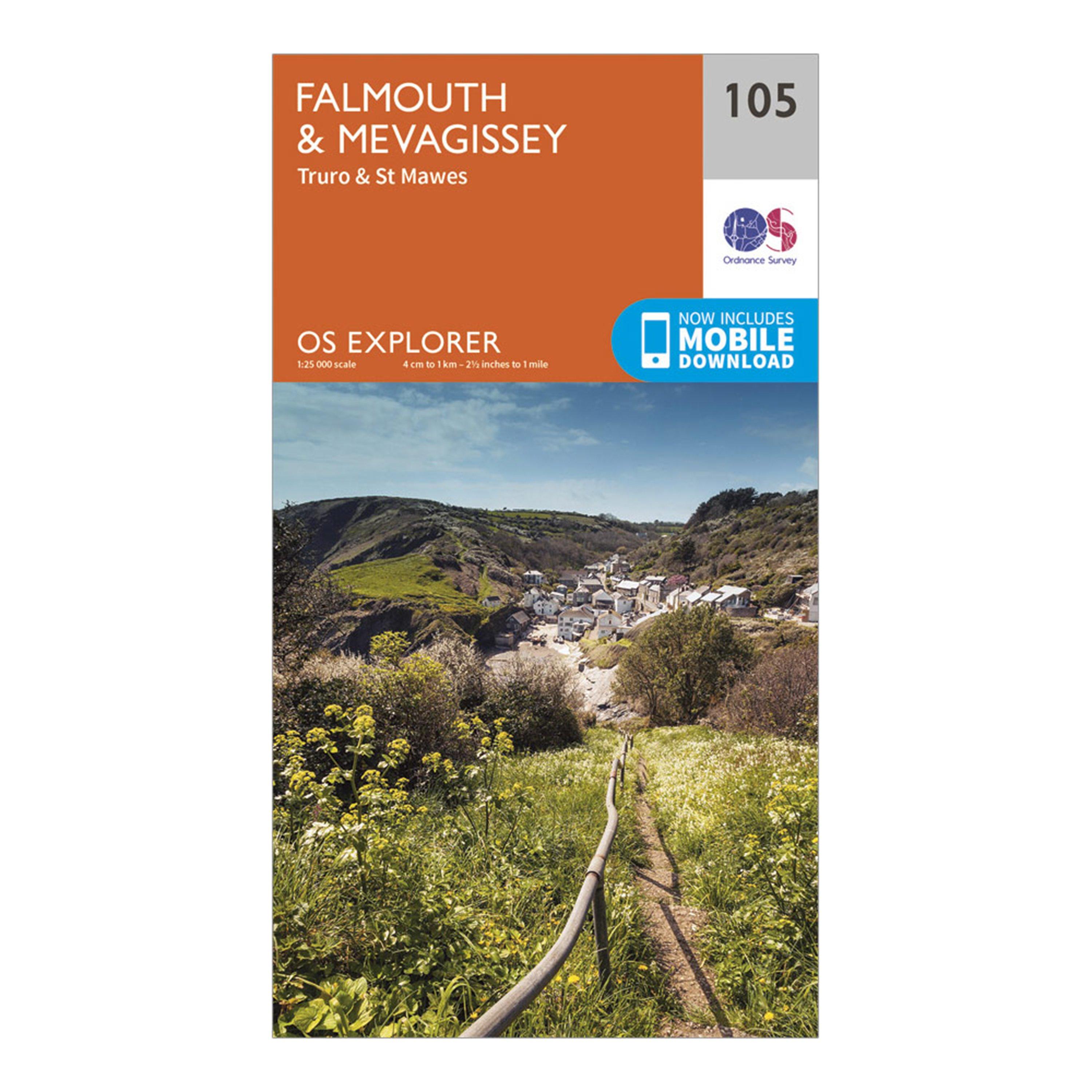
Ordnance Survey Explorer 105 Falmouth & Mevagissey Map With Digital Version - Orange, Orange
Providing complete GB coverage, the OS Explorer map series details information essential in the great outdoors, including youth hostels, pubs and visitor information. Rights of way, fences, permissive paths and bridleways are clearly shown, ensuring you have the best information to get the most out of...
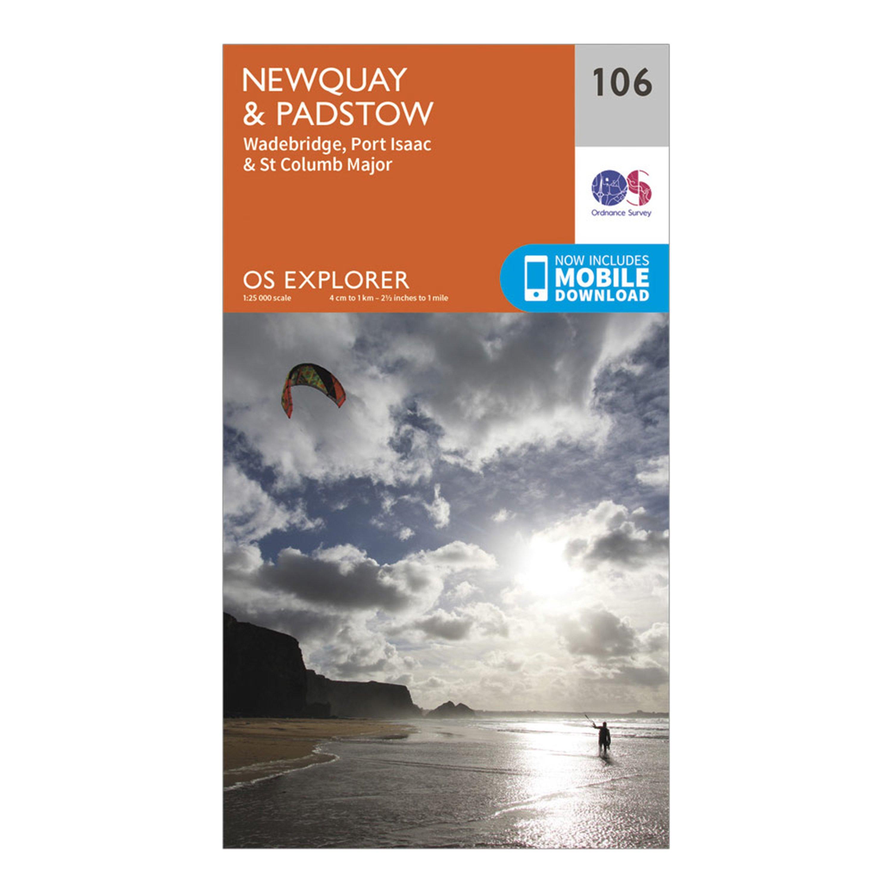
Ordnance Survey Explorer 106 Newquay & Padstow Map With Digital Version - Orange, Orange
Providing complete GB coverage, the OS Explorer map series details information essential in the great outdoors, including youth hostels, pubs and visitor information. Rights of way, fences, permissive paths and bridleways are clearly shown, ensuring you have the best information to get the most out of...
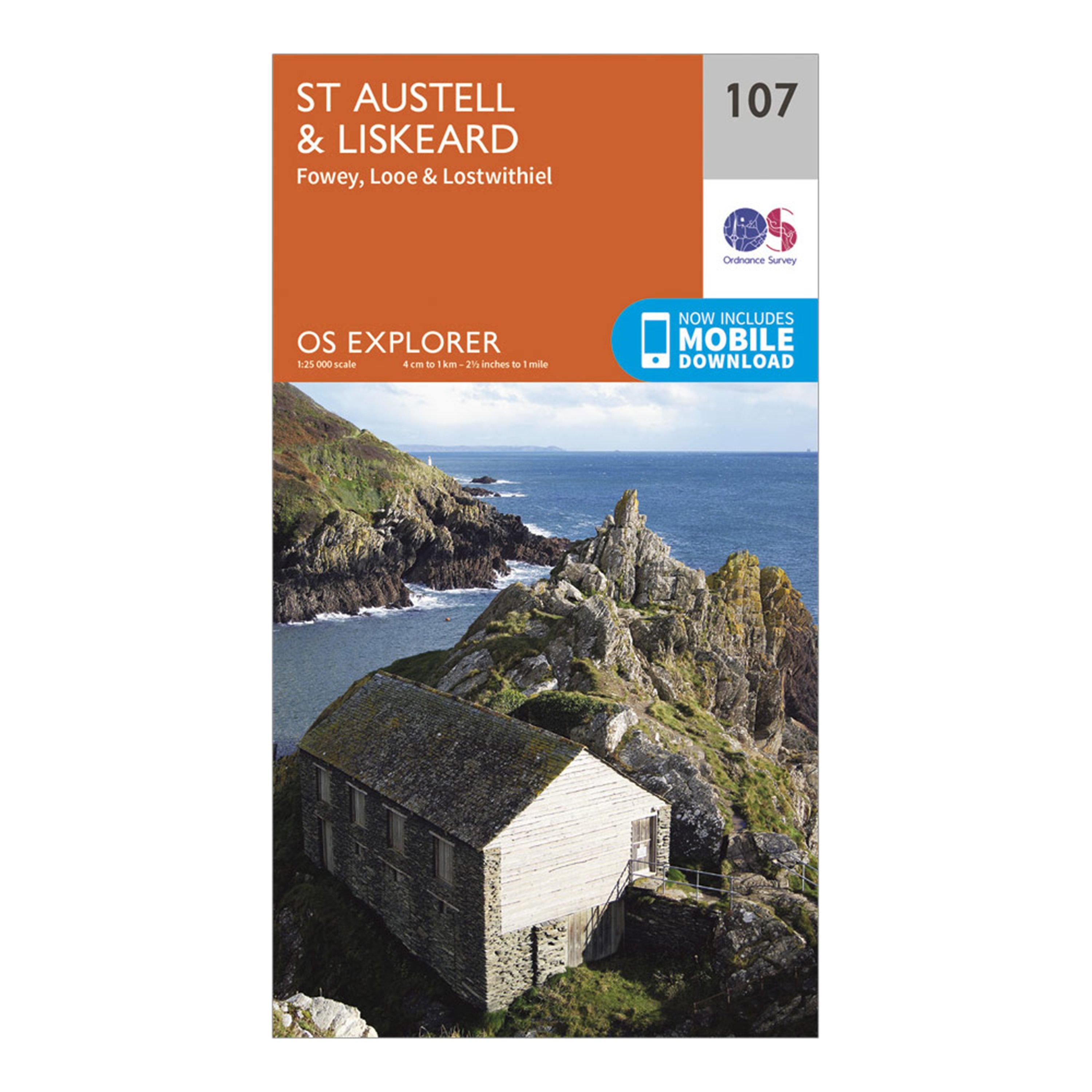
Ordnance Survey Explorer 107 St Austell & Liskeard Map With Digital Version - Orange, Orange
Providing complete GB coverage, the OS Explorer map series details information essential in the great outdoors, including youth hostels, pubs and visitor information. Rights of way, fences, permissive paths and bridleways are clearly shown, ensuring you have the best information to get the most out of...
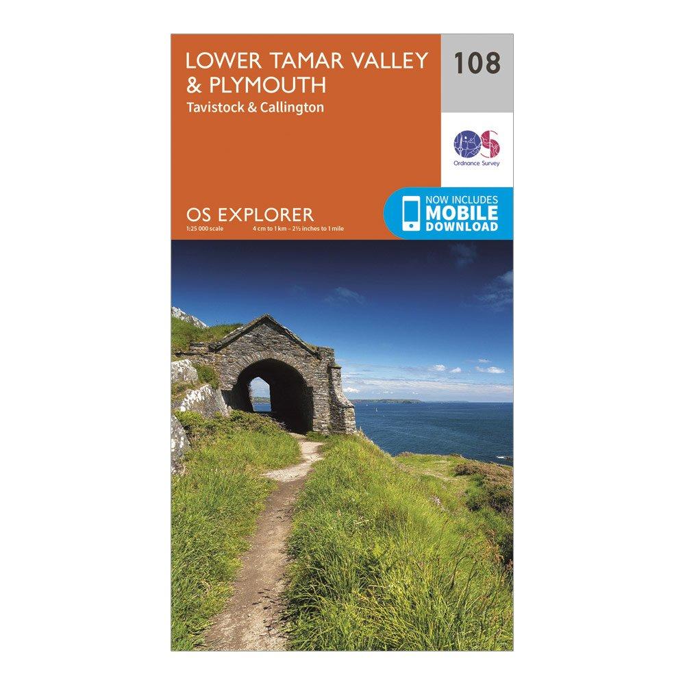
Ordnance Survey Explorer 108 Lower Tamar Valley & Plymouth Map With Digital Version - Orange, Orange
Providing complete GB coverage, the OS Explorer map series details information essential in the great outdoors, including youth hostels, pubs and visitor information. Rights of way, fences, permissive paths and bridleways are clearly shown, ensuring you have the best information to get the most out of...