Providing complete GB coverage, the OS Explorer map series details information essential in the great outdoors, including youth hostels, pubs and visitor information. Rights of way, fences, permissive paths and bridleways are clearly shown, ensuring you have the best information to get the most out of...
Providing complete GB coverage, the OS Explorer map series details information essential in the great outdoors, including youth hostels, pubs and visitor information. Rights of way, fences, permissive paths and bridleways are clearly shown, ensuring you have the best information to get the most out of...
Providing complete GB coverage, the OS Explorer map series details information essential in the great outdoors, including youth hostels, pubs and visitor information. Rights of way, fences, permissive paths and bridleways are clearly shown, ensuring you have the best information to get the most out of...
Providing complete GB coverage, the OS Explorer map series details information essential in the great outdoors, including youth hostels, pubs and visitor information. Rights of way, fences, permissive paths and bridleways are clearly shown, ensuring you have the best information to get the most out of...
Providing complete GB coverage, the OS Explorer map series details information essential in the great outdoors, including youth hostels, pubs and visitor information. Rights of way, fences, permissive paths and bridleways are clearly shown, ensuring you have the best information to get the most out of...
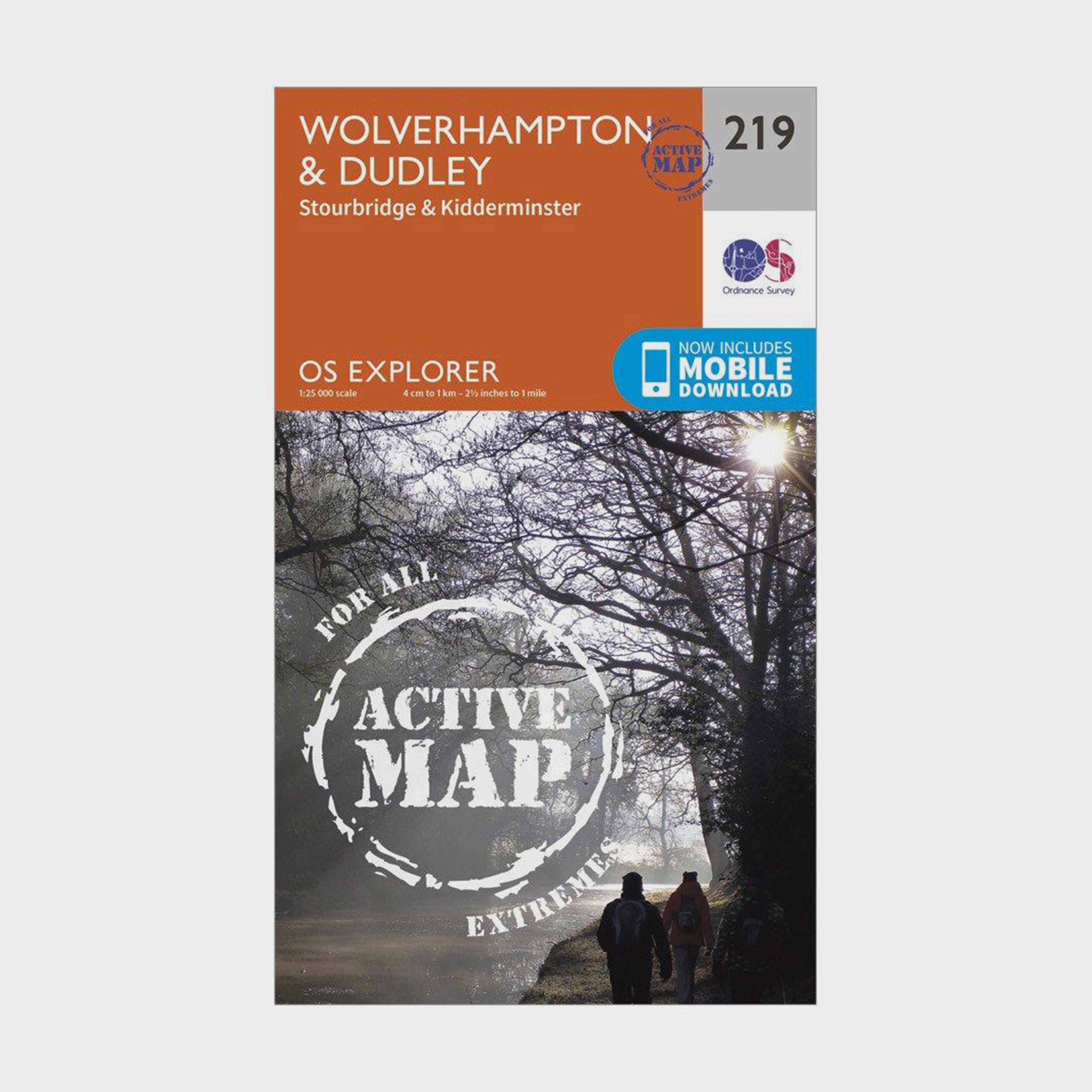
Ordnance Survey Explorer Active 219 Wolverhampton & Dudley Map With Digital Version - Orange, Orange
Providing complete GB coverage, the OS Explorer map series details information essential in the great outdoors, including youth hostels, pubs and visitor information. Rights of way, fences, permissive paths and bridleways are clearly shown, ensuring you have the best information to get the most out of...
Providing complete GB coverage, the OS Explorer map series details information essential in the great outdoors, including youth hostels, pubs and visitor information. Rights of way, fences, permissive paths and bridleways are clearly shown, ensuring you have the best information to get the most out of...
Providing complete GB coverage, the OS Explorer map series details information essential in the great outdoors, including youth hostels, pubs and visitor information. Rights of way, fences, permissive paths and bridleways are clearly shown, ensuring you have the best information to get the most out of...
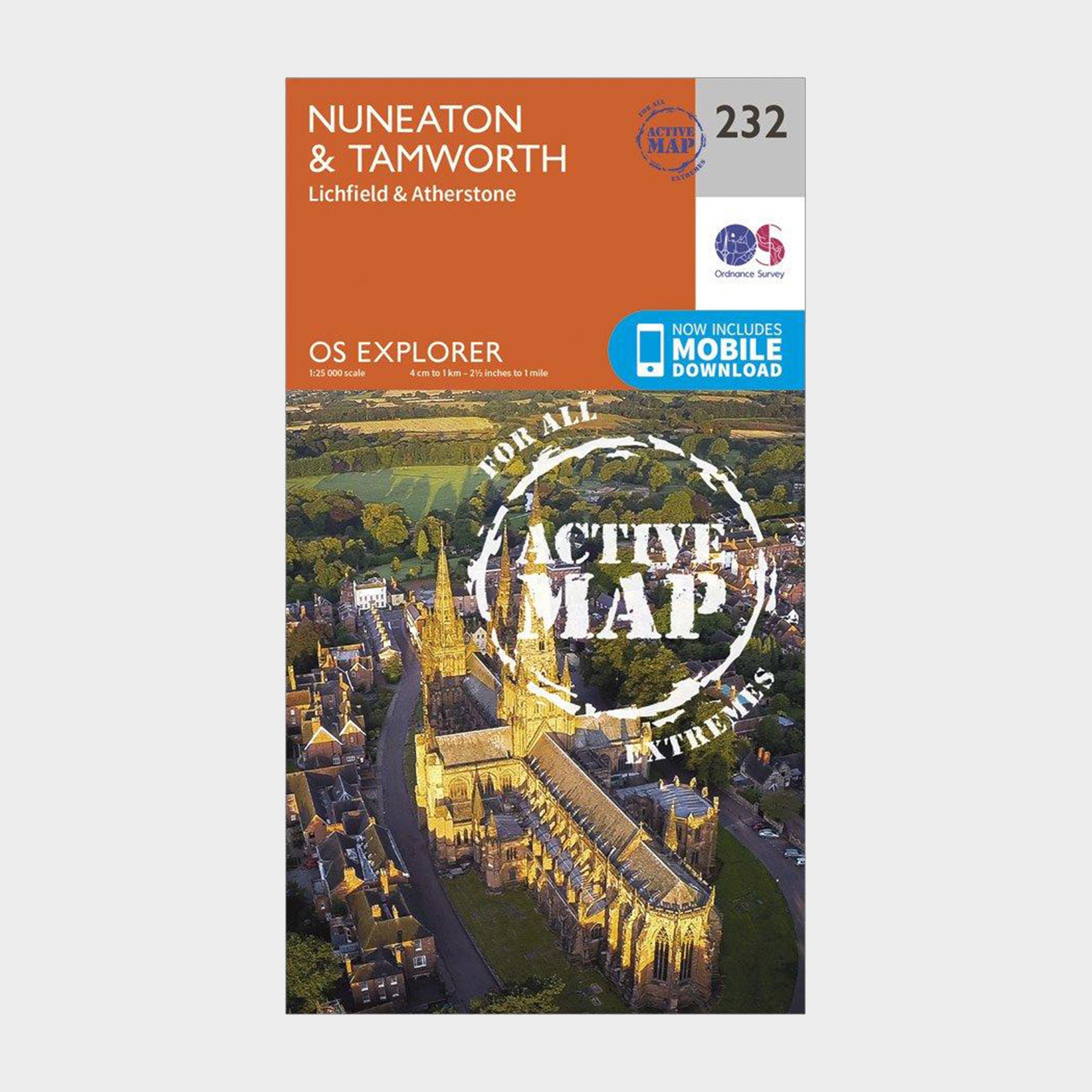
Ordnance Survey Explorer Active 232 Nuneaton & Tamworth Map With Digital Version - Orange, Orange
Providing complete GB coverage, the OS Explorer map series details information essential in the great outdoors, including youth hostels, pubs and visitor information. Rights of way, fences, permissive paths and bridleways are clearly shown, ensuring you have the best information to get the most out of...
Providing complete GB coverage, the OS Explorer map series details information essential in the great outdoors, including youth hostels, pubs and visitor information. Rights of way, fences, permissive paths and bridleways are clearly shown, ensuring you have the best information to get the most out of...
Providing complete GB coverage, the OS Explorer map series details information essential in the great outdoors, including youth hostels, pubs and visitor information. Rights of way, fences, permissive paths and bridleways are clearly shown, ensuring you have the best information to get the most out of...
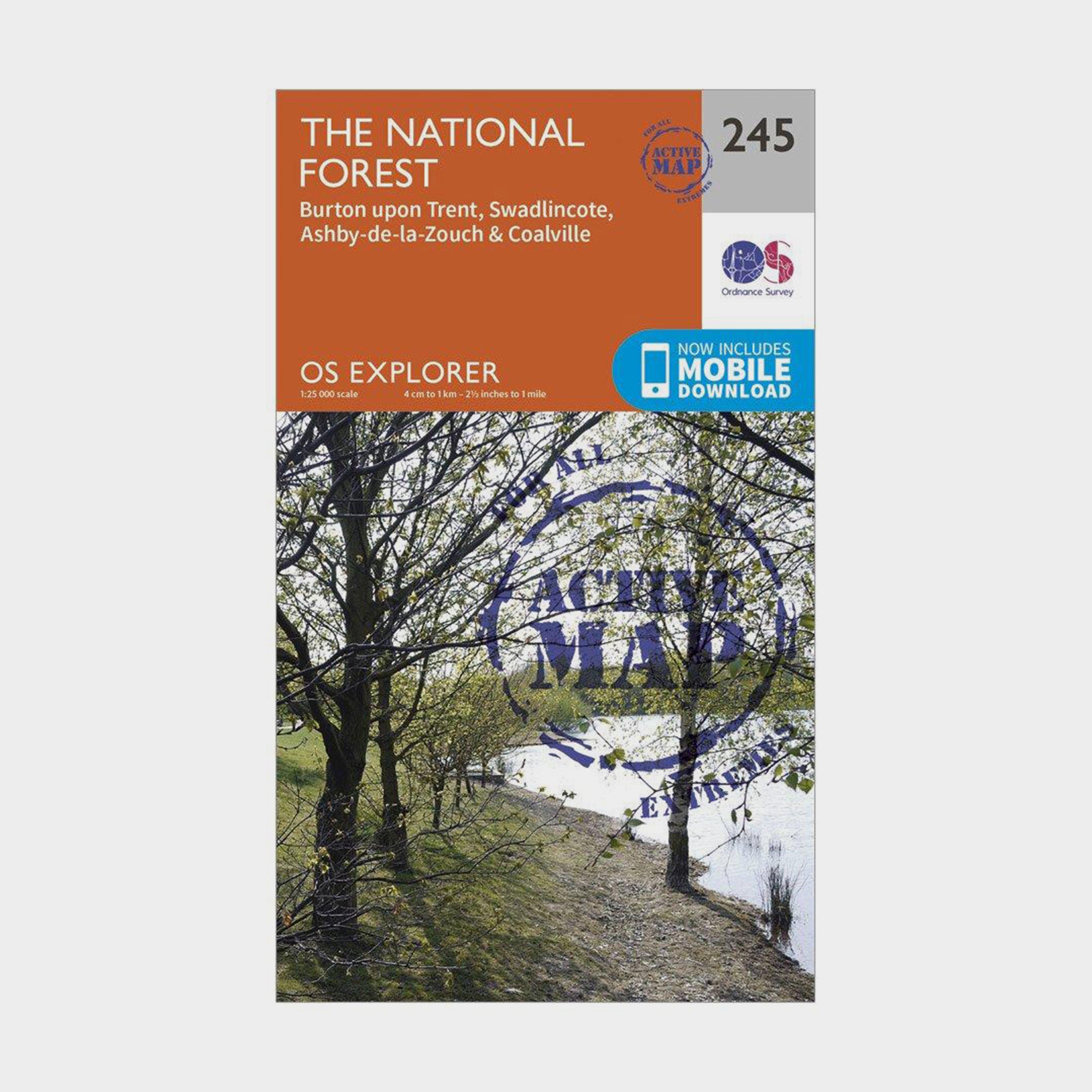
Ordnance Survey Explorer Active 245 The National Forest Map With Digital Version - Orange, Orange
Providing complete GB coverage, the OS Explorer map series details information essential in the great outdoors, including youth hostels, pubs and visitor information. Rights of way, fences, permissive paths and bridleways are clearly shown, ensuring you have the best information to get the most out of...
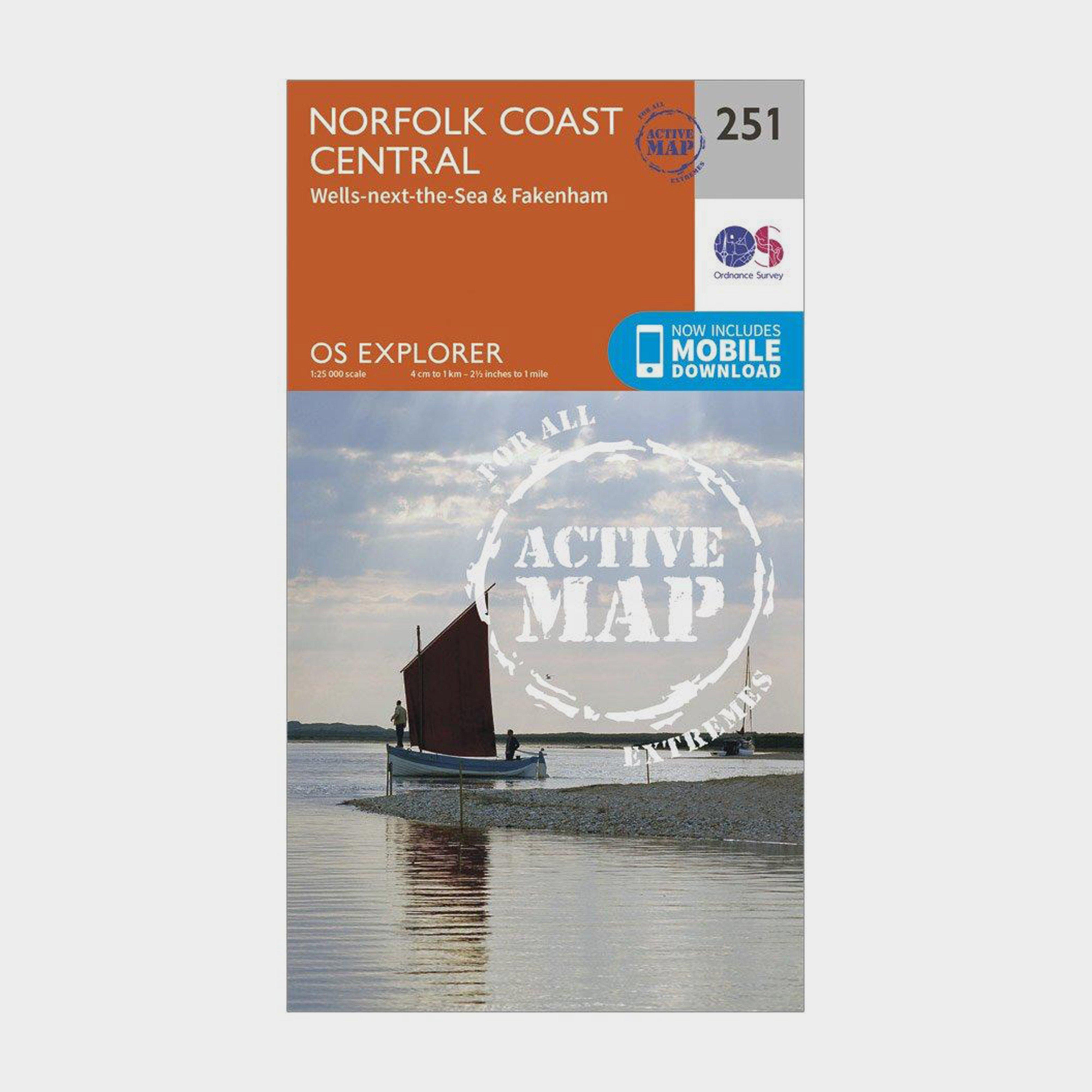
Ordnance Survey Explorer Active 251 Norfolk Coast Central Map With Digital Version - Orange, Orange
Providing complete GB coverage, the OS Explorer map series details information essential in the great outdoors, including youth hostels, pubs and visitor information. Rights of way, fences, permissive paths and bridleways are clearly shown, ensuring you have the best information to get the most out of...
Providing complete GB coverage, the OS Explorer map series details information essential in the great outdoors, including youth hostels, pubs and visitor information. Rights of way, fences, permissive paths and bridleways are clearly shown, ensuring you have the best information to get the most out of...
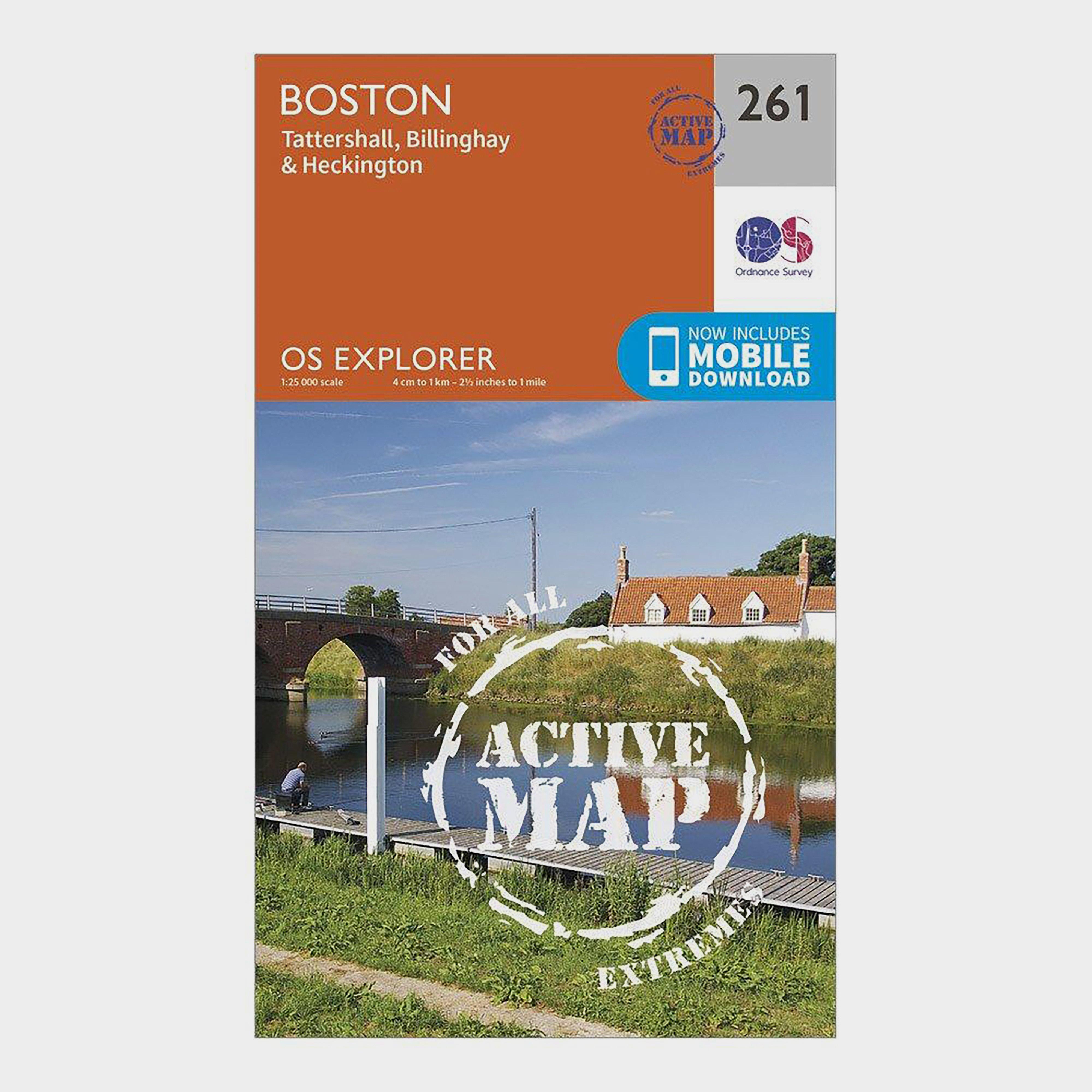
Ordnance Survey Explorer Active 261 Boston Map With Digital Version - Orange, Orange
Providing complete GB coverage, the OS Explorer map series details information essential in the great outdoors, including youth hostels, pubs and visitor information. Rights of way, fences, permissive paths and bridleways are clearly shown, ensuring you have the best information to get the most out of...

