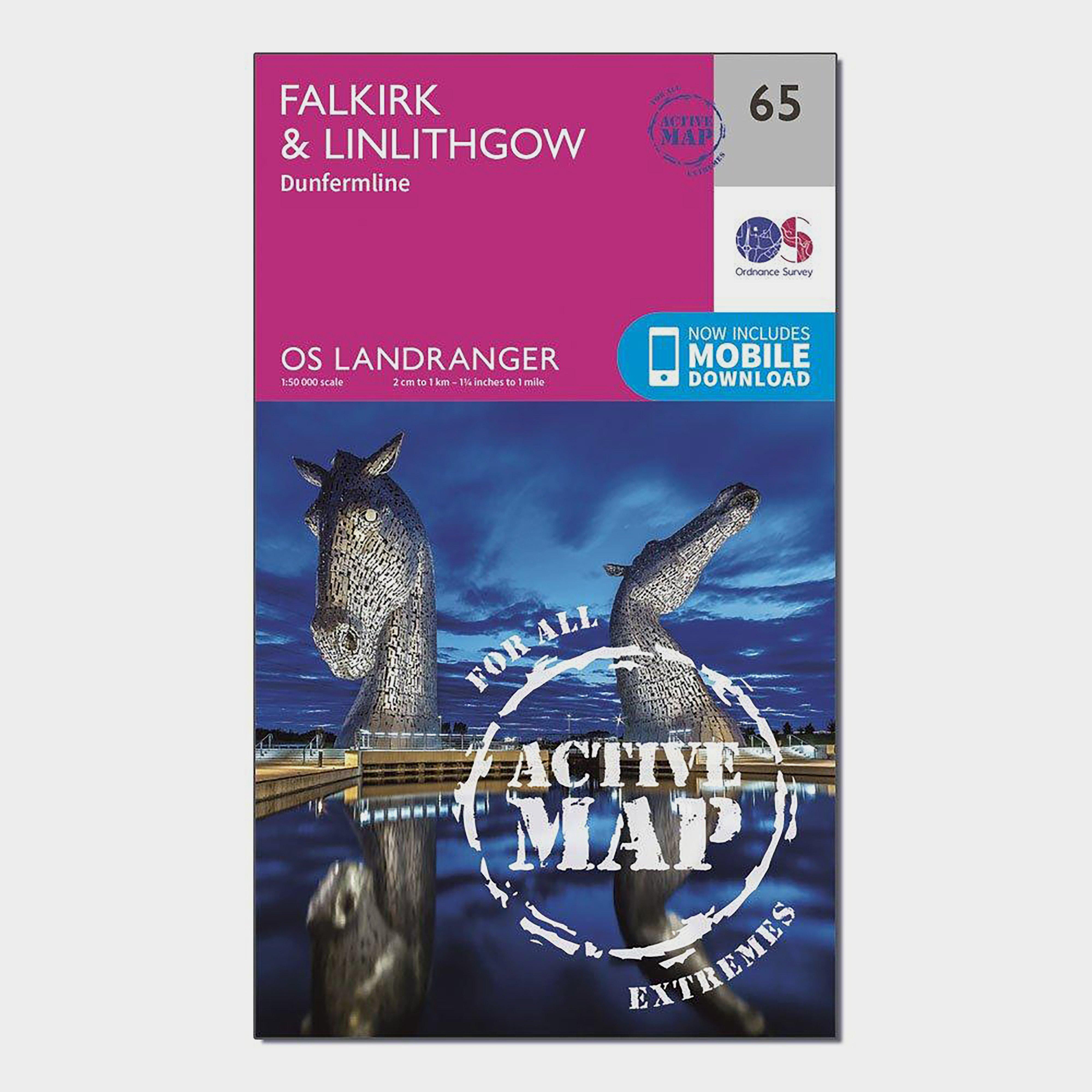
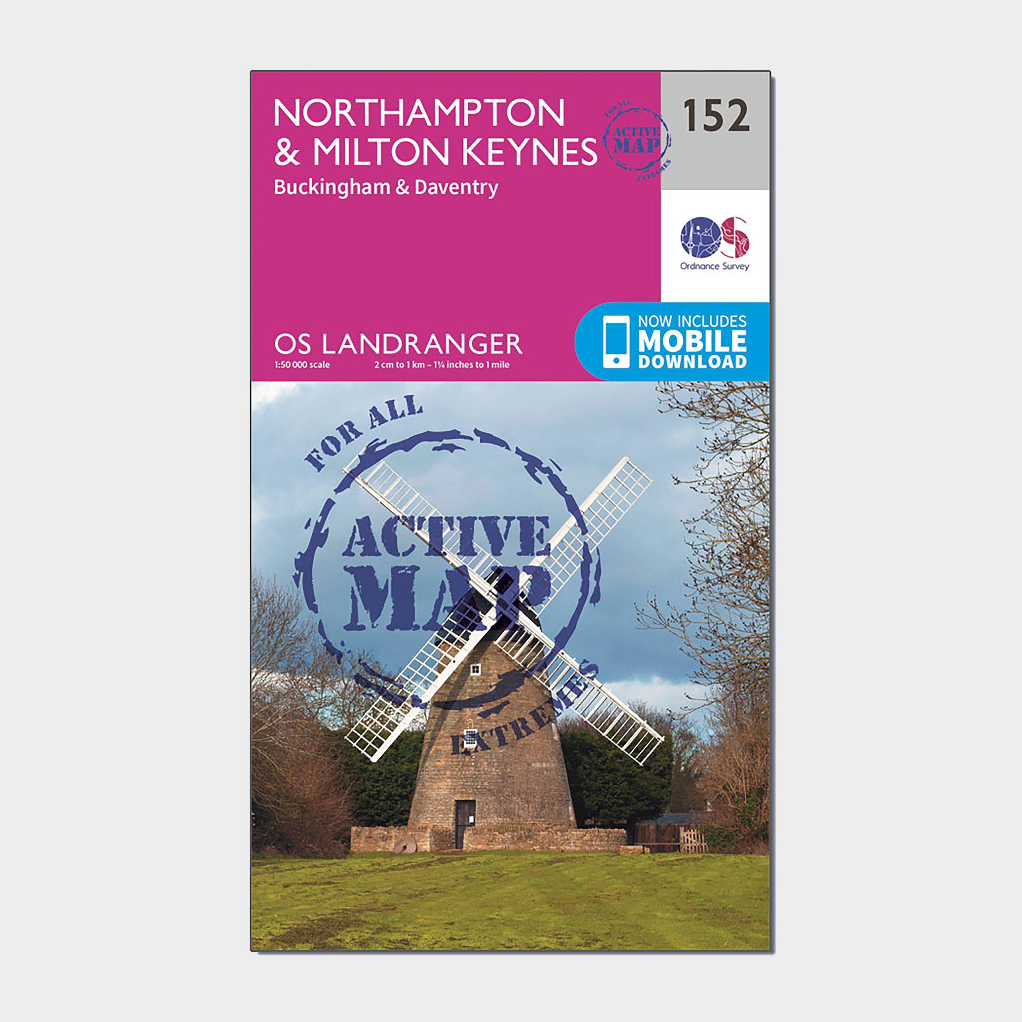
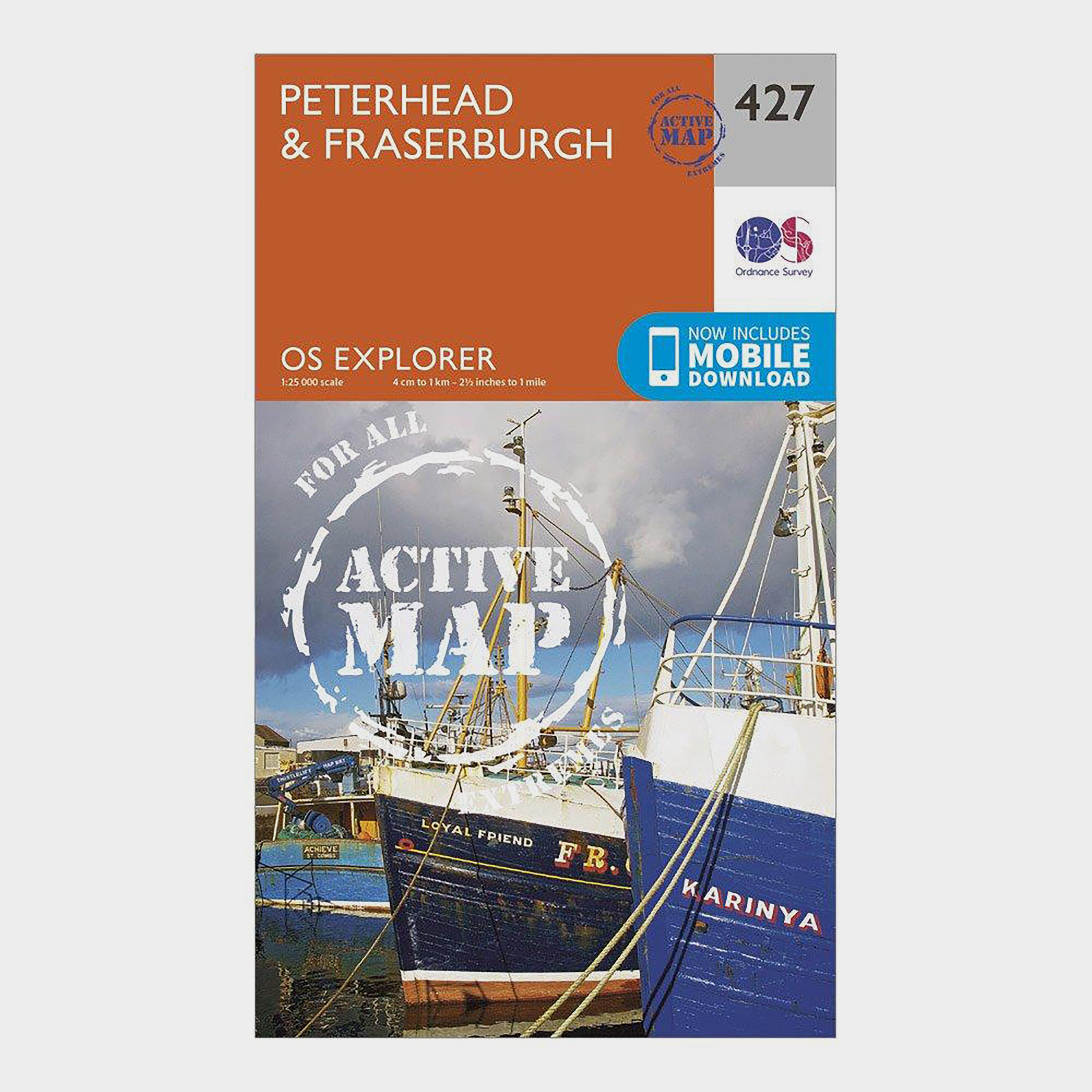
Providing complete GB coverage, the OS Explorer map series details information essential in the great outdoors, including youth hostels, pubs and visitor information. Rights of way, fences, permissive paths and bridleways are clearly shown, ensuring you have the best information to get the most out of...
The OS Landranger Map Active is tough, durable and weatherproof. The maps are covered in a lightweight protective plastic coating that can be written on, so your favourite routes can be easily highlighted._This map comes with a digital version which you can download to your smartphone or tablet._Go...
Ordnance Survey Explorer Active 292 Withernsea & Spurn Head Map With Digital Version, D
Providing complete GB coverage, the OS Explorer map series details information essential in the great outdoors, including youth hostels, pubs and visitor information. Rights of way, fences, permissive paths and bridleways are clearly shown, ensuring you have the best information to get the most out of...
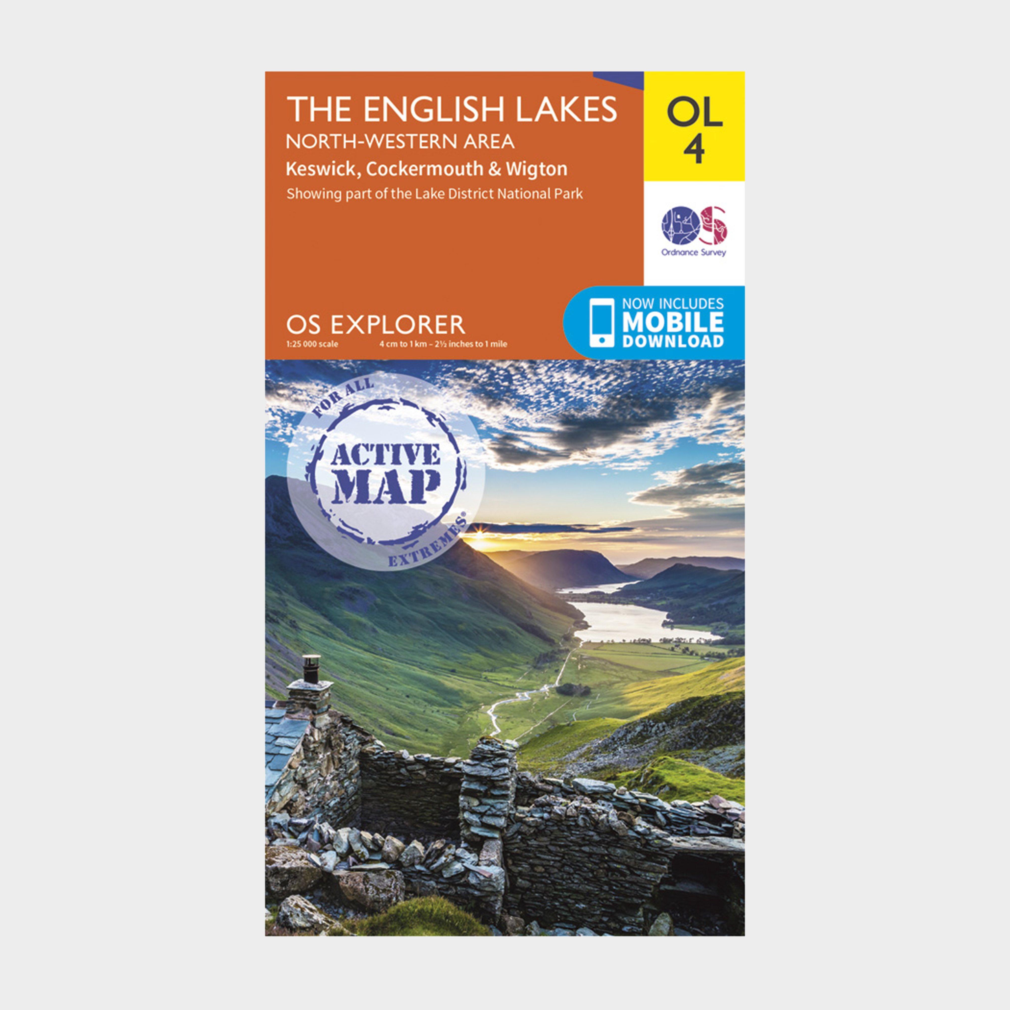
Ordnance Survey Explorer Active Ol 4 The Lake District (North-Western Area) Map - Orange, Orange
FeaturesDetailed and informative explorer map of The Lake District (North-Western area) from Ordnance SurveyCovers Solway Coast (an Area of Outstanding Natural Beauty), Wigton, Maryport, Cockermouth, Keswick, Skiddaw, Buttermere and SeathwaiteScale: 1:25000Now includes Mobile DownloadRecommended activity...
The OS Landranger Map Active is tough, durable and weatherproof. The maps are covered in a lightweight protective plastic coating that can be written on, so your favourite routes can be easily highlighted._This map comes with a digital version which you can download to your smartphone or tablet._Go...
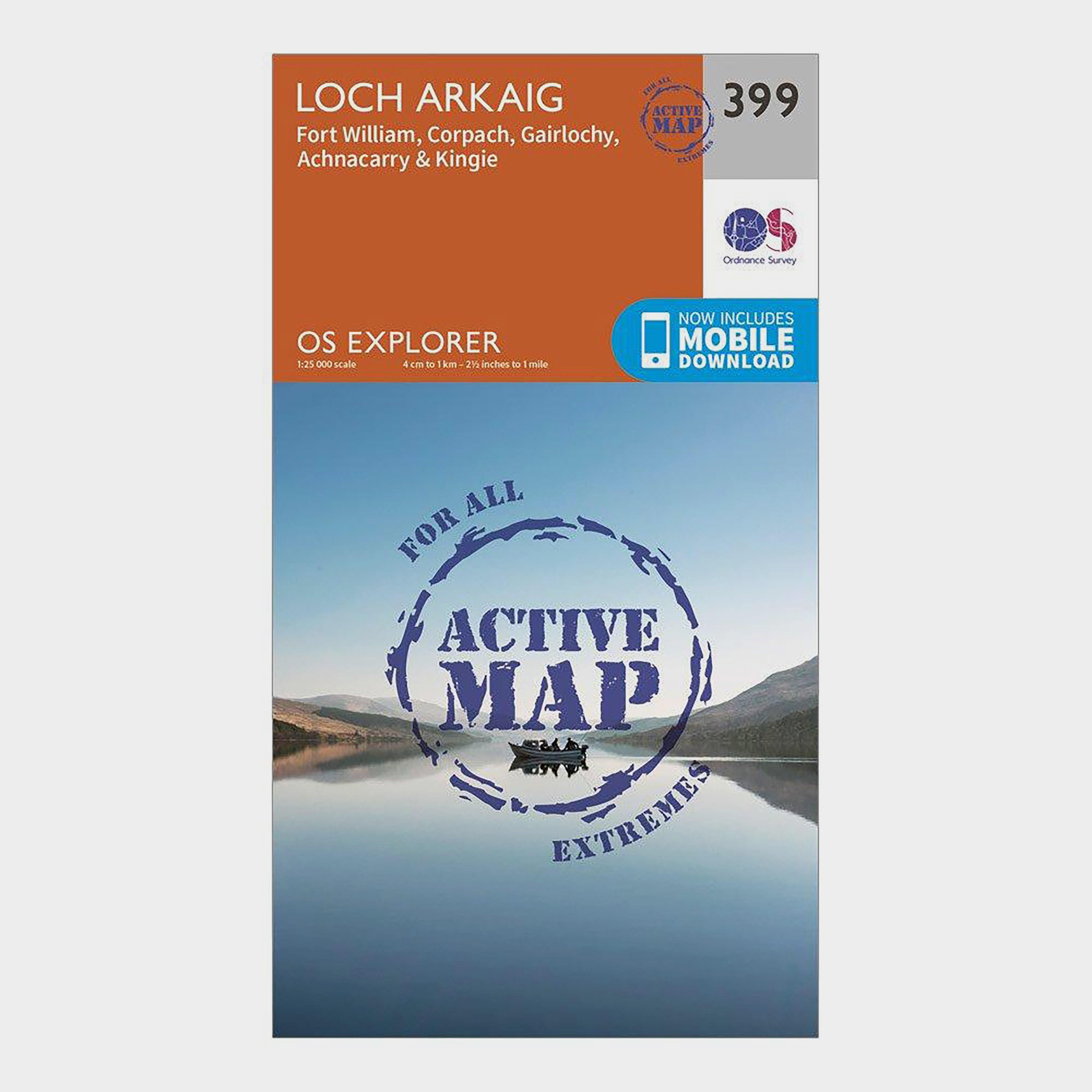
Ordnance Survey Explorer Active 399 Loch Arkaig Map With Digital Version - Orange, Orange
Providing complete GB coverage, the OS Explorer map series details information essential in the great outdoors, including youth hostels, pubs and visitor information. Rights of way, fences, permissive paths and bridleways are clearly shown, ensuring you have the best information to get the most out of...
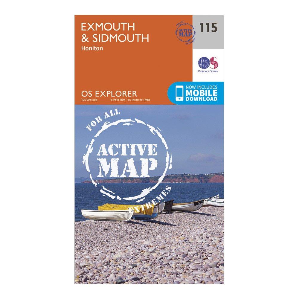
Ordnance Survey Explorer Active 115 Exmouth & Sidmouth Map With Digital Version - Orange, Orange
Providing complete GB coverage, the OS Explorer map series details information essential in the great outdoors, including youth hostels, pubs and visitor information. Rights of way, fences, permissive paths and bridleways are clearly shown, ensuring you have the best information to get the most out of...
Salomon Evasion 2-Pack Socks - Black, Black
VersatileLong lasting comfortSoft feelMid thicknessAnkle socks
The OS Landranger Map Active is tough, durable and weatherproof. The maps are covered in a lightweight protective plastic coating that can be written on, so your favourite routes can be easily highlighted._This map comes with a digital version which you can download to your smartphone or tablet._Go...
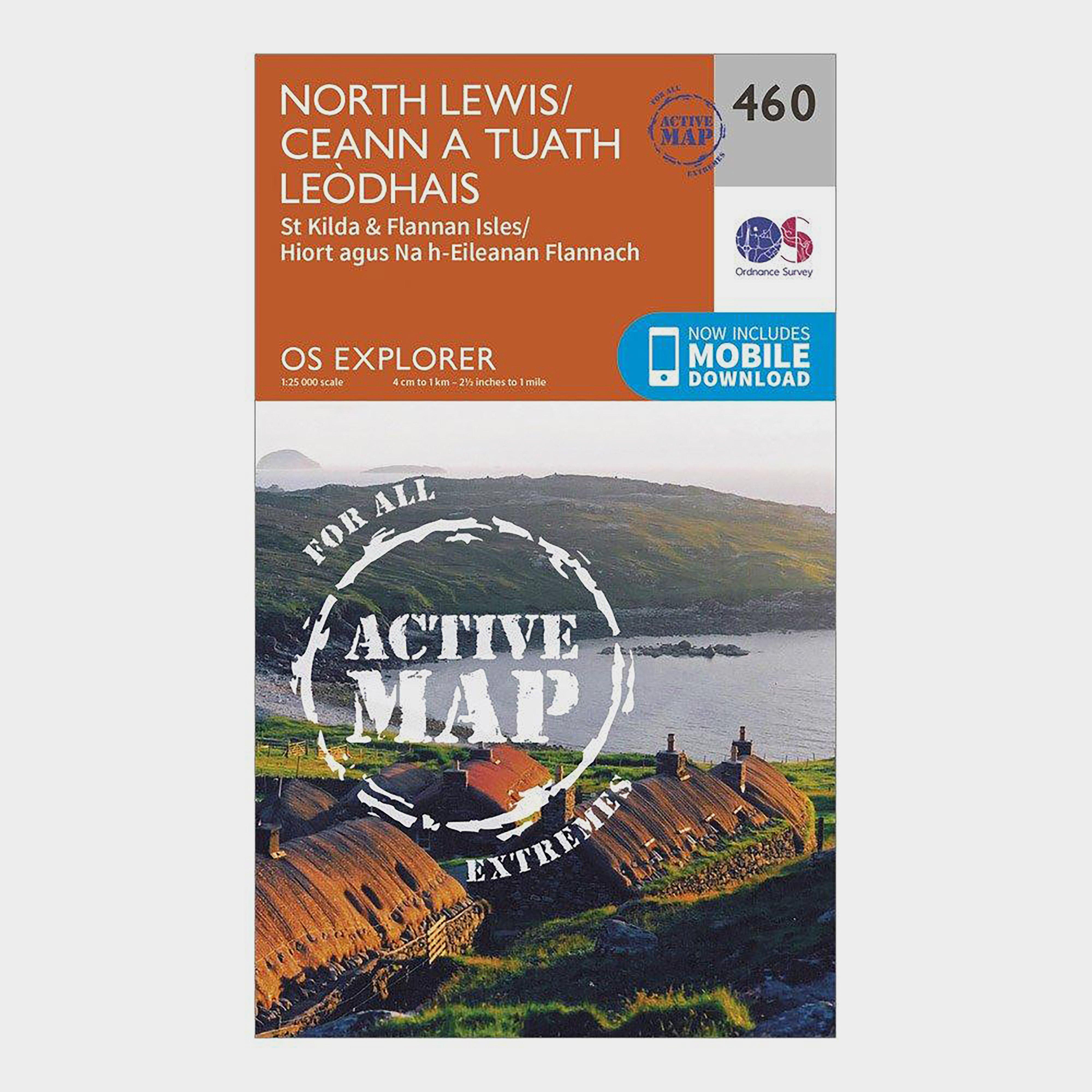
Ordnance Survey Explorer Active 460 North Lewis Map With Digital Version, D
Providing complete GB coverage, the OS Explorer map series details information essential in the great outdoors, including youth hostels, pubs and visitor information. Rights of way, fences, permissive paths and bridleways are clearly shown, ensuring you have the best information to get the most out of...
Providing complete GB coverage, the OS Explorer map series details information essential in the great outdoors, including youth hostels, pubs and visitor information. Rights of way, fences, permissive paths and bridleways are clearly shown, ensuring you have the best information to get the most out of...
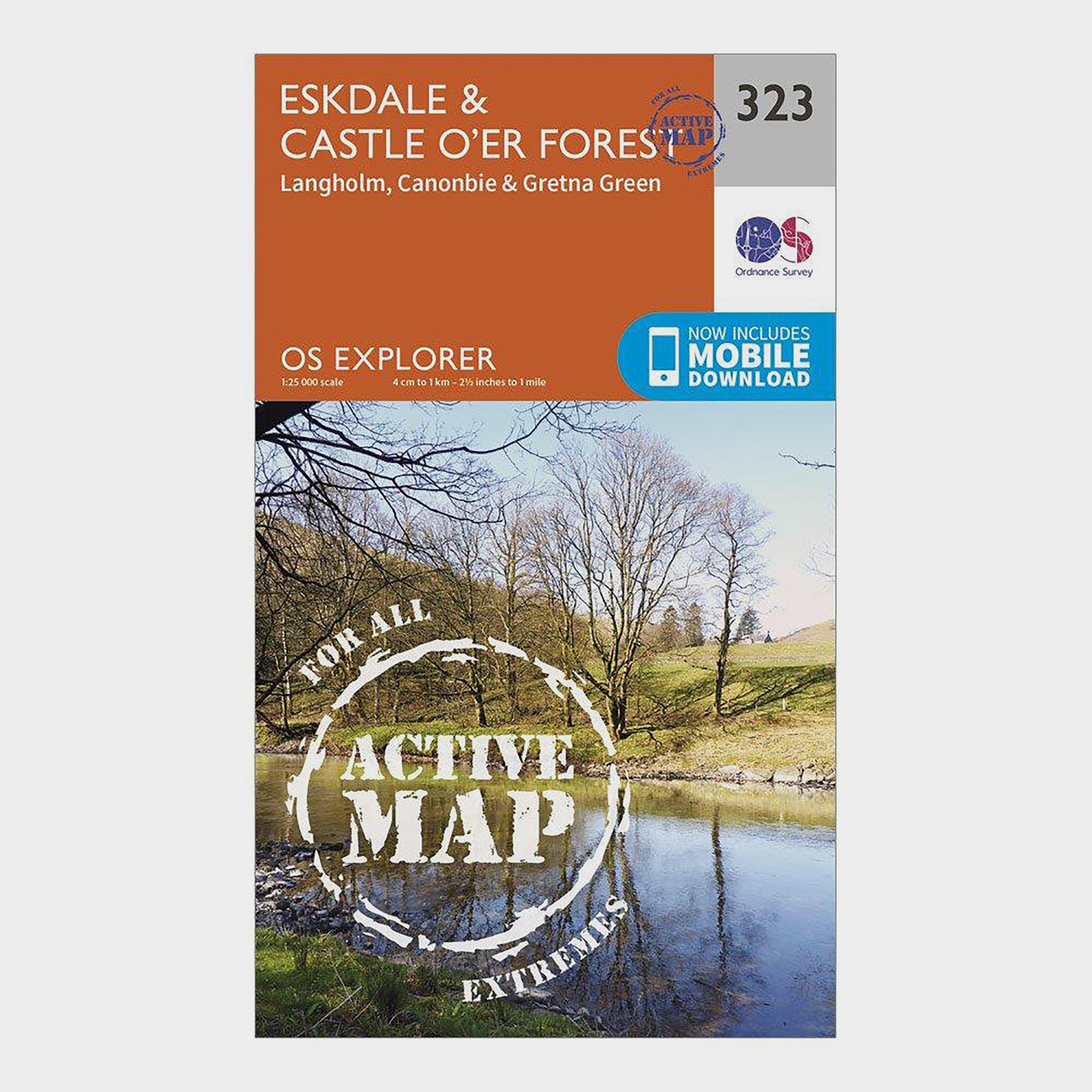
Ordnance Survey Explorer Active 323 Eskdale & Castle O'Er Forest Map With Digital Version, D
Providing complete GB coverage, the OS Explorer map series details information essential in the great outdoors, including youth hostels, pubs and visitor information. Rights of way, fences, permissive paths and bridleways are clearly shown, ensuring you have the best information to get the most out of...
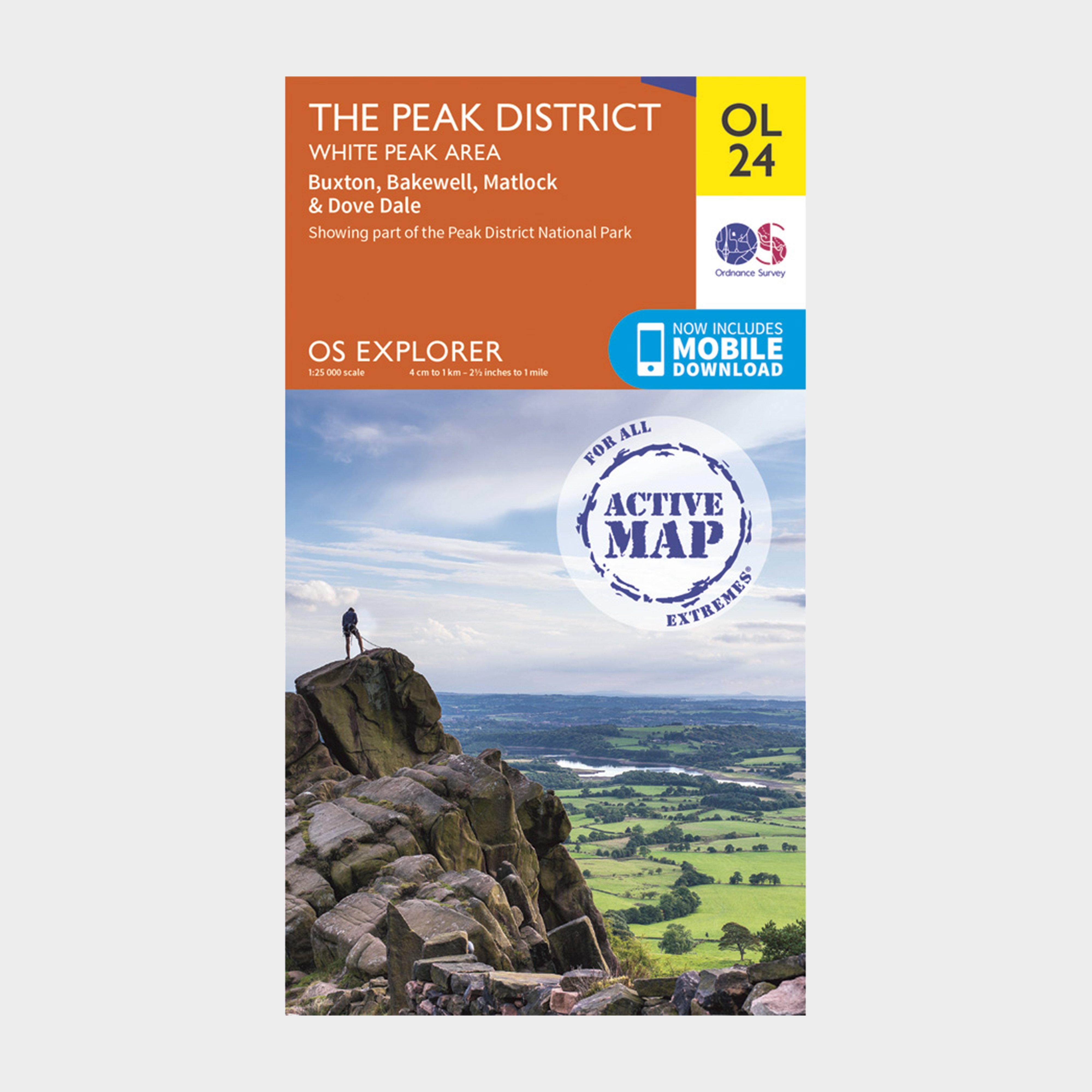
Ordnance Survey Active Explorer Ol 24 The Peak District (White Peak Area) Map, D
Providing complete GB coverage, the OS Explorer map series details information essential in the great outdoors, including youth hostels, pubs and visitor information. Rights of way, fences, permissive paths and bridleways are clearly shown, ensuring you have the best information to get the most out...
The OS Landranger Map Active is tough, durable and weatherproof. The maps are covered in a lightweight protective plastic coating that can be written on, so your favourite routes can be easily highlighted._This map comes with a digital version which you can download to your smartphone or tablet._Go...
Providing complete GB coverage, the OS Explorer map series details information essential in the great outdoors, including youth hostels, pubs and visitor information. Rights of way, fences, permissive paths and bridleways are clearly shown, ensuring you have the best information to get the most out of...

