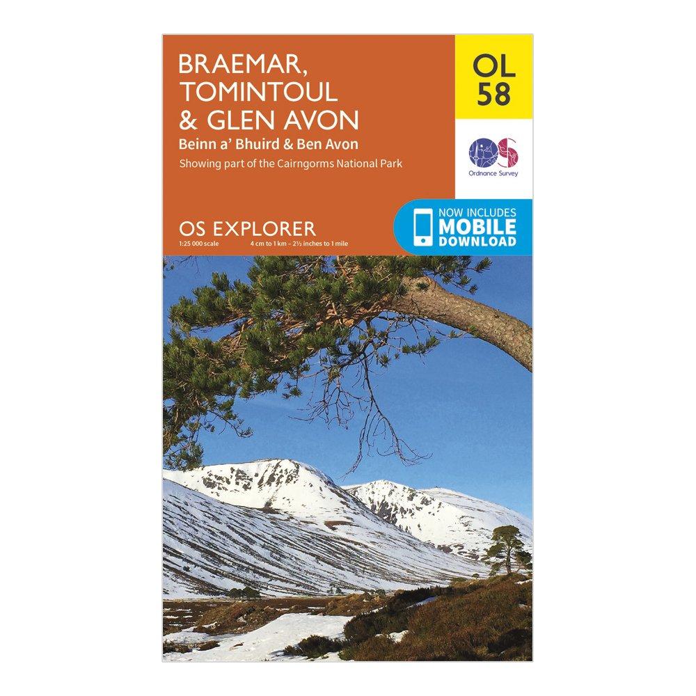
Ordnance Survey Explorer Ol 58 Braemar, Tomintoul & Glen Avon Map - Orange, Orange
FeaturesCairngorms National ParkSpeyside Way (Long Distance Route)HighlandGrampian1:25,000 scale (4 cm to 1 km - 2.5 inches to 1 mile)This map comes with a digital version which you can download to your smartphone or tablet.
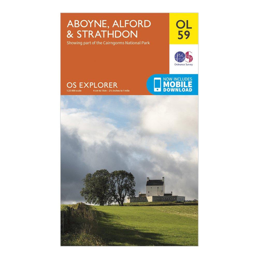
Ordnance Survey Explorer Ol 59 Aboyne, Alford & Strathdon Map - Orange, Orange
FeaturesGrampianBallater1:25 000 scale (4 cm to 1 km - 2.5 inches to 1 mile)This map comes with a digital version which you can download to your smartphone or tablet.
Ordnance Survey Explorer Ol5 The English Lakes - North Eastern Area Map With Digital Version, D
Providing complete GB coverage, the OS Explorer map series details information essential in the great outdoors, including youth hostels, pubs and visitor information. Rights of way, fences, permissive paths and bridleways are clearly shown, ensuring you have the best information to get the most out of...
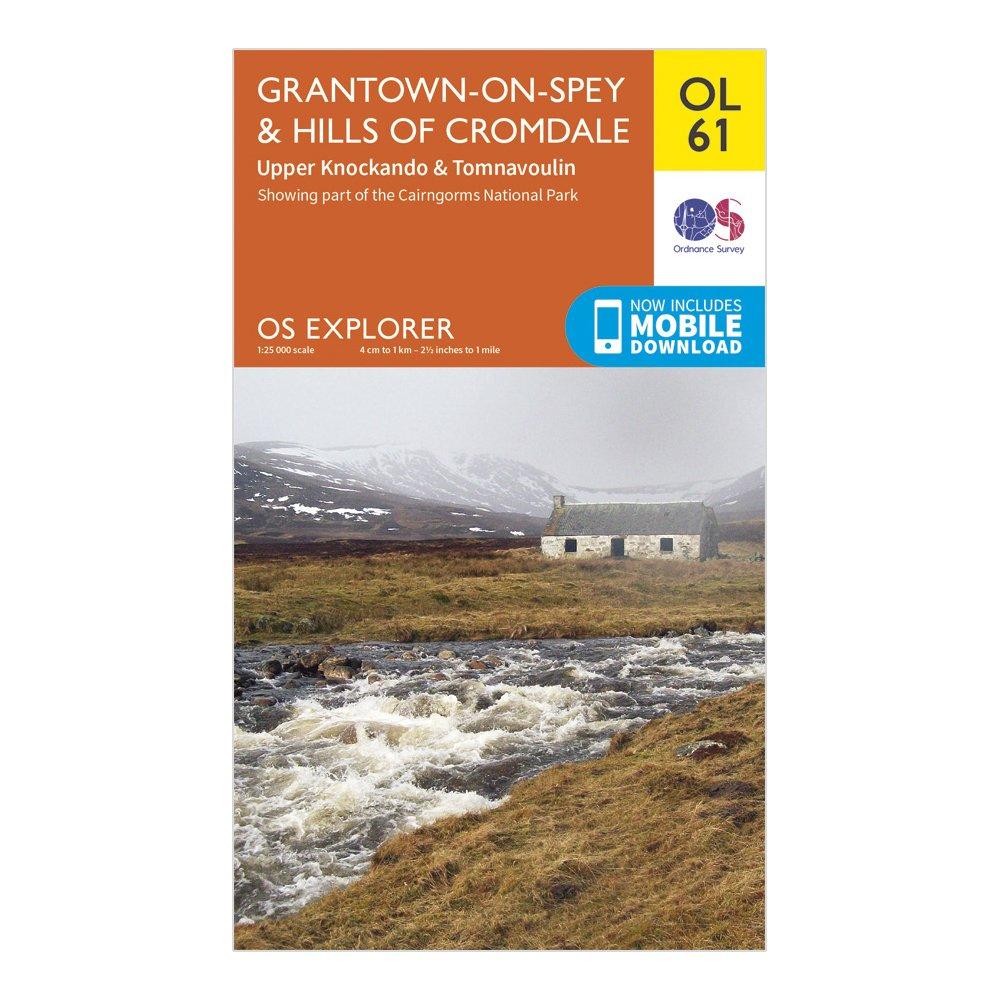
Ordnance Survey Explorer Ol 61 Grantown-On-Spey & Hills Of Cromdale Map - Orange, Orange
Speyside Way (Long Distance Route)HighlandGrampianGrantown-on-Spey1:25 000 scale (4 cm to 1 km - 2.5 inches to 1 mile)This map comes with a digital version which you can download to your smartphone or tablet.
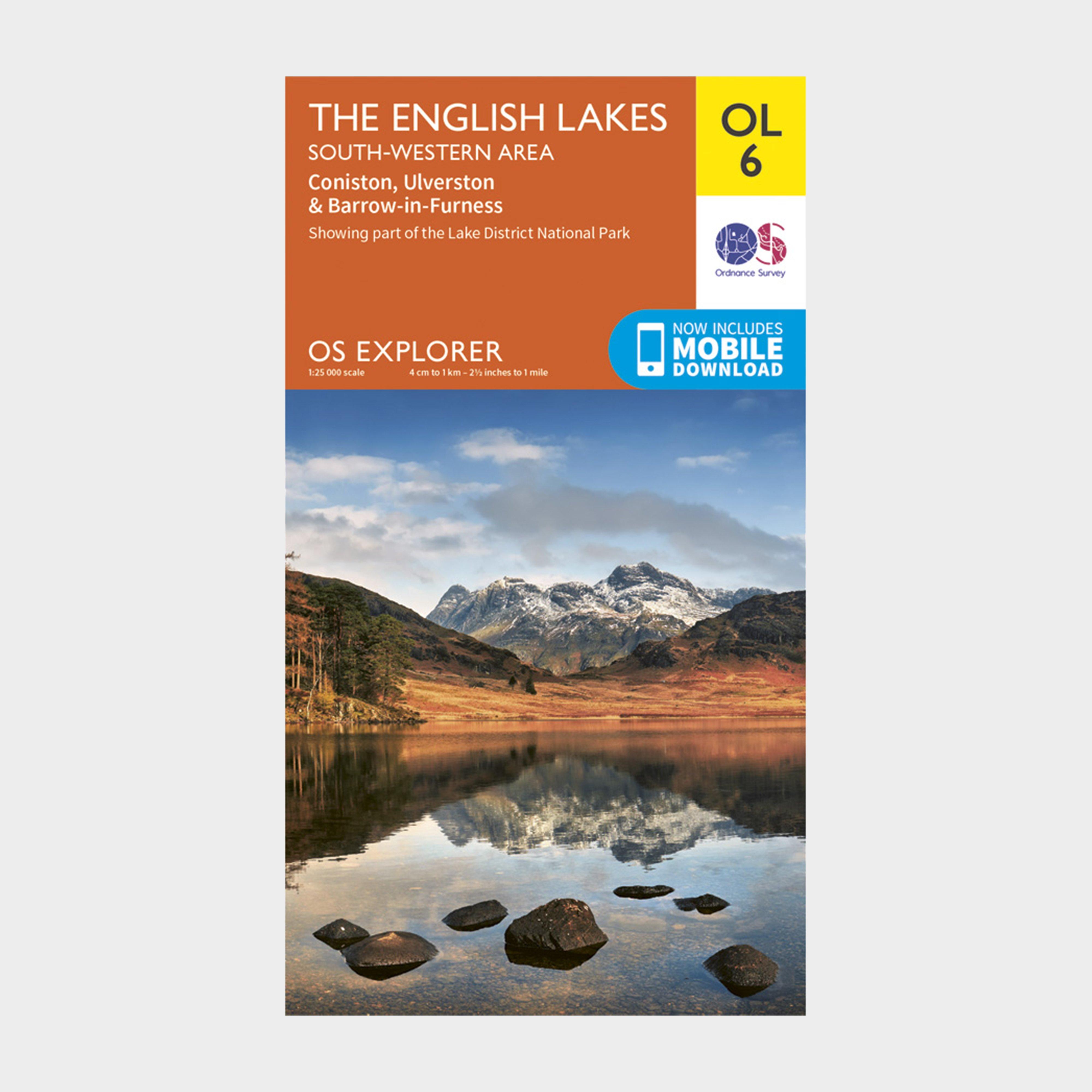
Ordnance Survey Explorer Ol 6 The Lake District: South-Western Area - Orange, Orange
FeaturesDetailed and easy to read map from Ordnance SurveyScale: 1:25,000Includes mobile download of map for use on your smartphoneShows tourist information points, popular sites, viewpoints, places of interest and rights of way information
Ordnance Survey Explorer Ol8 Chichester, South Harting & Selsey Map With Digital Version, D
Providing complete GB coverage, the OS Explorer map series details information essential in the great outdoors, including youth hostels, pubs and visitor information. Rights of way, fences, permissive paths and bridleways are clearly shown, ensuring you have the best information to get the most out...
Ordnance Survey Explorer Ol 9 Exmoor Map, D
Detailed and informative explorer map of Exmoor from Ordnance SurveyCovers Banstaple, Lynton, Minehead, Dulverton and the National ParkScale: 1:25000Now includes Mobile DownloadRecommended activity - walking / hiking / cycling / navigation / expedition
This map comes with a digital version which you can download to your smartphone or tablet.Go to OS.uk/redeem for more details (terms and conditions apply).Scratch off the panel on the inside cover of the map to reveal a code, you are then just three easy steps away from downloading your digital map.If...

Ordnance Survey Landranger 102 Preston & Blackpool, Lytham Map With Digital Version - Pink, Pink
This map comes with a digital version which you can download to your smartphone or tablet.Go to OS.uk/redeem for more details (terms and conditions apply).Scratch off the panel on the inside cover of the map to reveal a code, you are then just three easy steps away from downloading your digital map.If...
This map comes with a digital version which you can download to your smartphone or tablet.Go to OS.uk/redeem for more details (terms and conditions apply).Scratch off the panel on the inside cover of the map to reveal a code, you are then just three easy steps away from downloading your digital map.If...
This map comes with a digital version which you can download to your smartphone or tablet.Go to OS.uk/redeem for more details (terms and conditions apply).Scratch off the panel on the inside cover of the map to reveal a code, you are then just three easy steps away from downloading your digital map.If...
This map comes with a digital version which you can download to your smartphone or tablet.Go to OS.uk/redeem for more details (terms and conditions apply).Scratch off the panel on the inside cover of the map to reveal a code, you are then just three easy steps away from downloading your digital map.If...

Ordnance Survey Landranger 109 Manchester, Bolton & Warrington Map With Digital Version - Pink, Pink
This map comes with a digital version which you can download to your smartphone or tablet.Go to OS.uk/redeem for more details (terms and conditions apply).Scratch off the panel on the inside cover of the map to reveal a code, you are then just three easy steps away from downloading your digital map.If...
Ordnance Survey Landranger 10 Strathnaver, Bettyhill & Tongue Map With Digital Version - Pink, Pink
This map comes with a digital version which you can download to your smartphone or tablet.Go to OS.uk/redeem for more details (terms and conditions apply).Scratch off the panel on the inside cover of the map to reveal a code, you are then just three easy steps away from downloading your digital map.If...
This map comes with a digital version which you can download to your smartphone or tablet.Go to OS.uk/redeem for more details (terms and conditions apply).Scratch off the panel on the inside cover of the map to reveal a code, you are then just three easy steps away from downloading your digital map.If...