Ordnance Survey Explorer Ol 43 Hadrian's Wall Map - Orange, Orange
Detailed and informative explorer map of Hadrian's Wall from Ordnance SurveyCovers Gilsland, Corbridge, Haltwhistle, Humshaugh, Hexham, Haydon Bridge, Bardon Mill, Greenlea Lough, Houseteads, Chesters Roman Fort and VindolandaScale: 1:25000Now includes Mobile DownloadRecommended activity - walking /...
Ordnance Survey Explorer Ol44 Torquay & Dawlish Map With Digital Version - Orange, Orange
Providing complete GB coverage, the OS Explorer map series details information essential in the great outdoors, including youth hostels, pubs and visitor information. Rights of way, fences, permissive paths and bridleways are clearly shown, ensuring you have the best information to get the most out of...
Ordnance Survey Explorer Ol 45 Active D The Cotswolds Map - Orange, Orange
Detailed and easy to read map from Ordnance SurveyScale: 1:25,000Covers the Cotswold Hills, Wychwood Community Forest, the Cotswold Way, Stow-on-the-Wold, Burford, Cirencester and Chipping CampdenIncludes mobile download of map for use on your smartphoneShows tourist information points, popular sites,...
Ordnance Survey Explorer Ol45 The Cotswold Map With Digital Version, D
Providing complete GB coverage, the OS Explorer map series details information essential in the great outdoors, including youth hostels, pubs and visitor information. Rights of way, fences, permissive paths and bridleways are clearly shown, ensuring you have the best information to get the most out of...
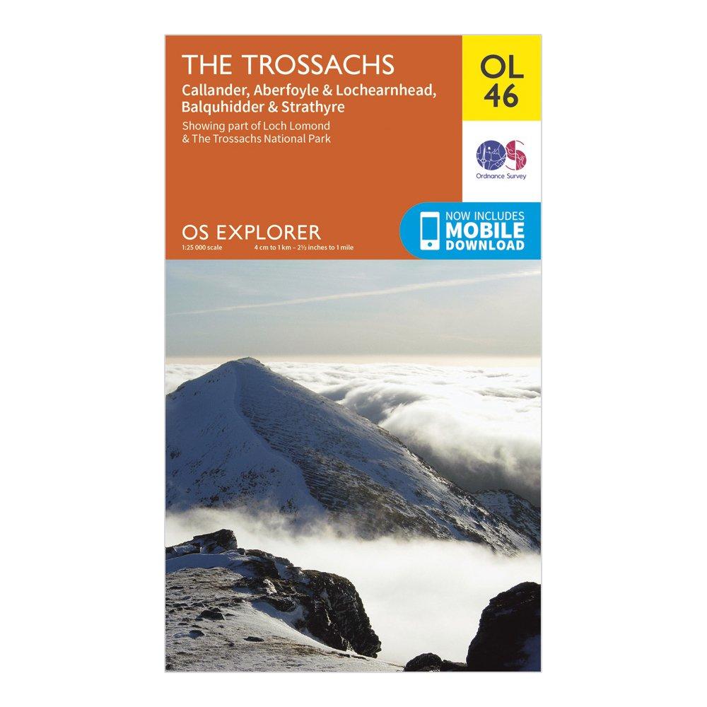
Ordnance Survey Explorer Ol 46 The Trossachs Map, D
FeaturesLoch Lomond & The Trossachs National ParkWest Highland WayWest Highland Way (Long Distance Route)CentralCallander1:25 000 scale (4 cm to 1 km - 2.5 inches to 1 mile)This map comes with a digital version which you can download to your smartphone or tablet.
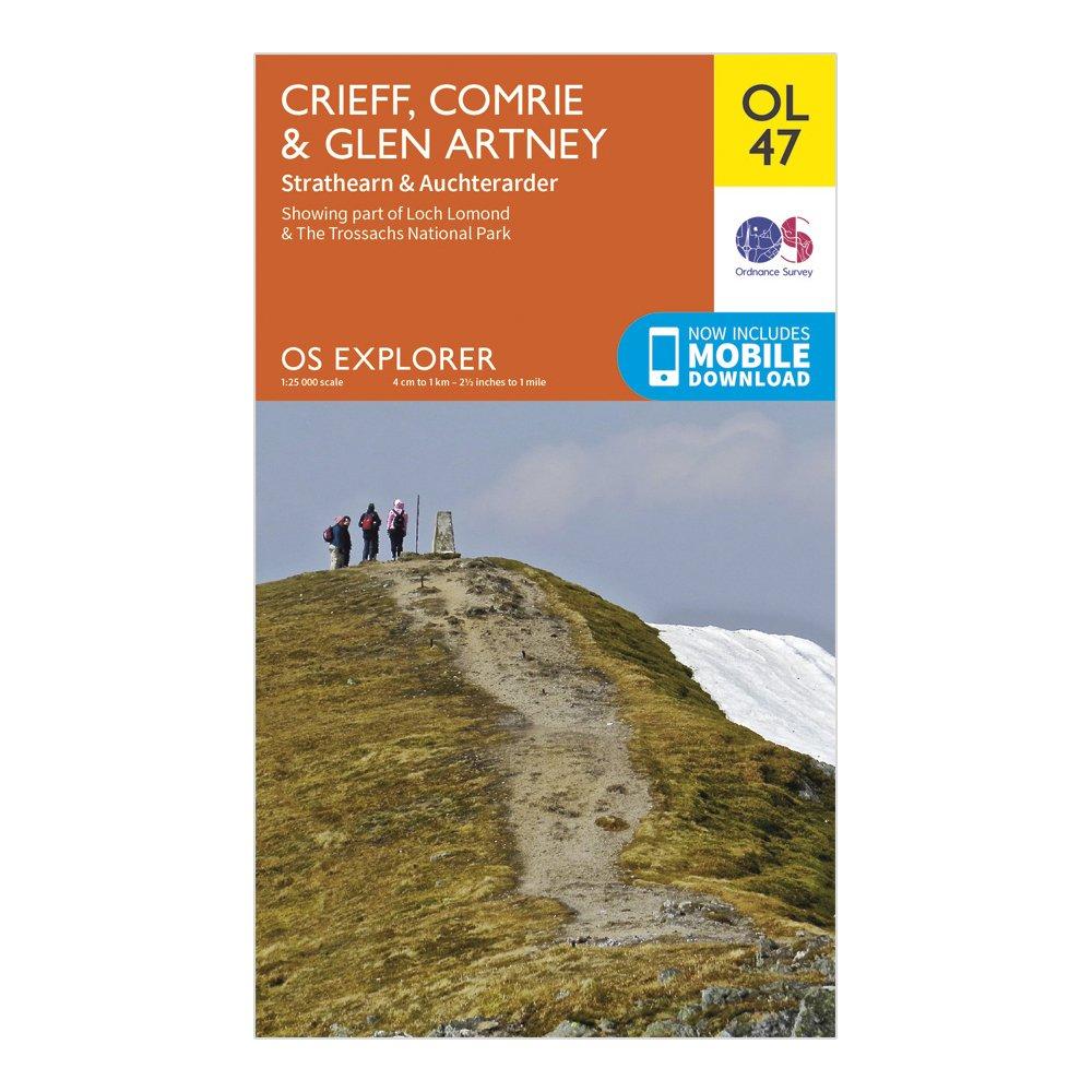
Ordnance Survey Explorer Ol 47 Crieff, Comrie & Glen Artney Map - Orange, Orange
Tayside1:25 000 scale (4 cm to 1 km - 2.5 inches to 1 mile)This map comes with a digital version which you can download to your smartphone or tablet.
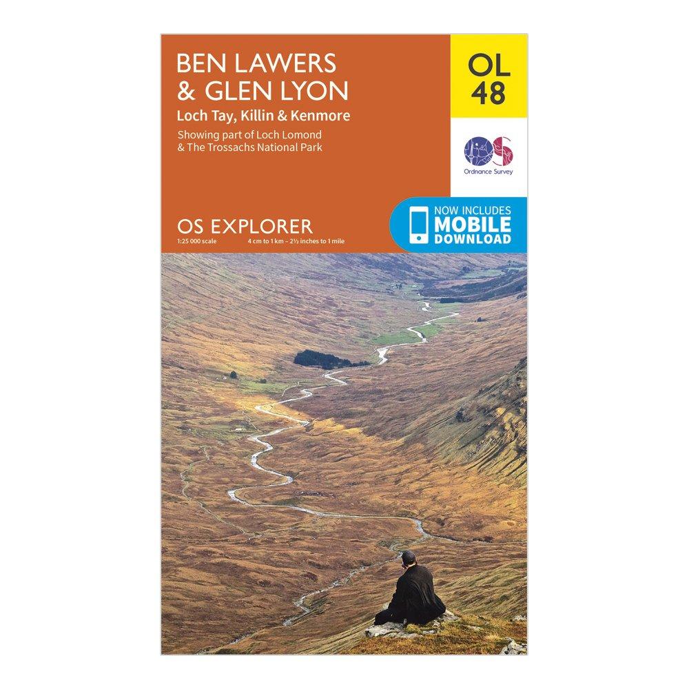
Ordnance Survey Explorer Ol 48 Ben Lawers & Glen Lyon Map - Orange, Orange
FeaturesCentral1:25 000 scale (4 cm to 1 km - 2.5 inches to 1 milesThis map comes with a digital version which you can download to your smartphone or tablet.
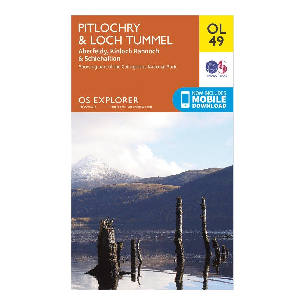
Ordnance Survey Explorer Ol 49 Pitlochry & Loch Tummel Map, D
FeaturesTaysidePitlochry1:25 000 scale (4 cm to 1 km - 2.5 inches to 1 mile)This map comes with a digital version which you can download to your smartphone or tablet.
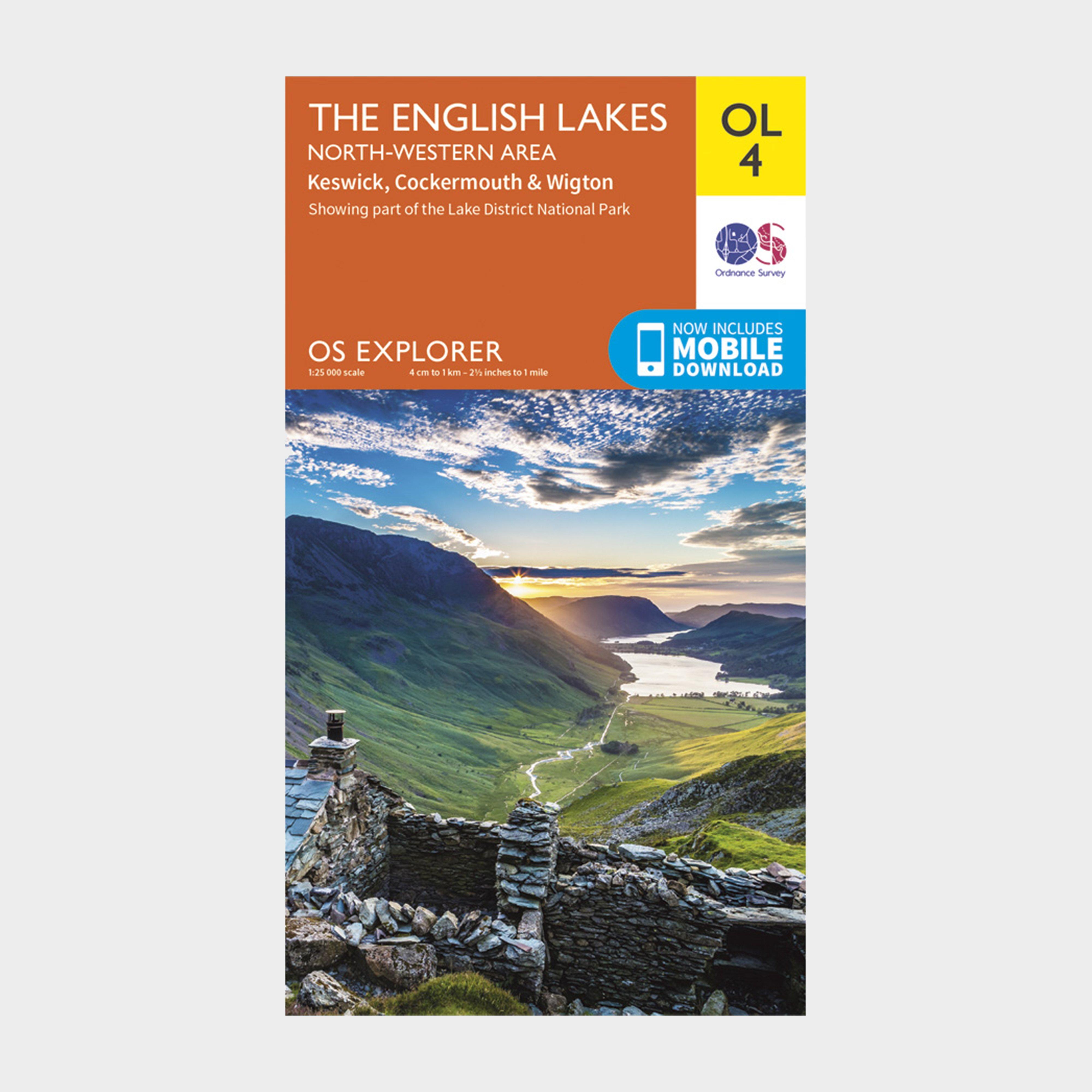
Ordnance Survey Explorer Ol4 The English Lakes - North Western Area With Digital Version, D
Providing complete GB coverage, the OS Explorer map series details information essential in the great outdoors, including youth hostels, pubs and visitor information. Rights of way, fences, permissive paths and bridleways are clearly shown, ensuring you have the best information to get the most out of...
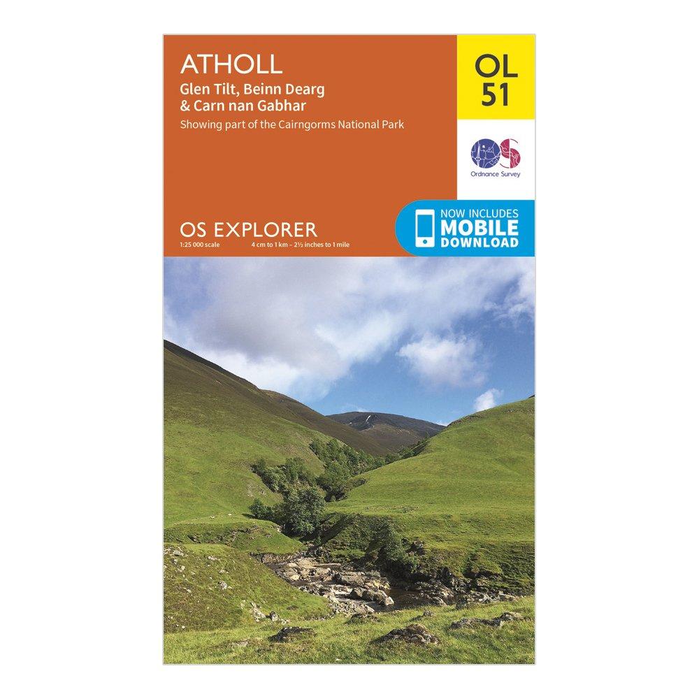
Ordnance Survey Explorer Ol51 Atholl Map With Digital Version - Orange, Orange
FeaturesHighlandGrampianTayside1:25 000 scale (4 cm to 1 km - 2.5 inches to 1 mile)This map comes with a digital version which you can download to your smartphone or tablet.
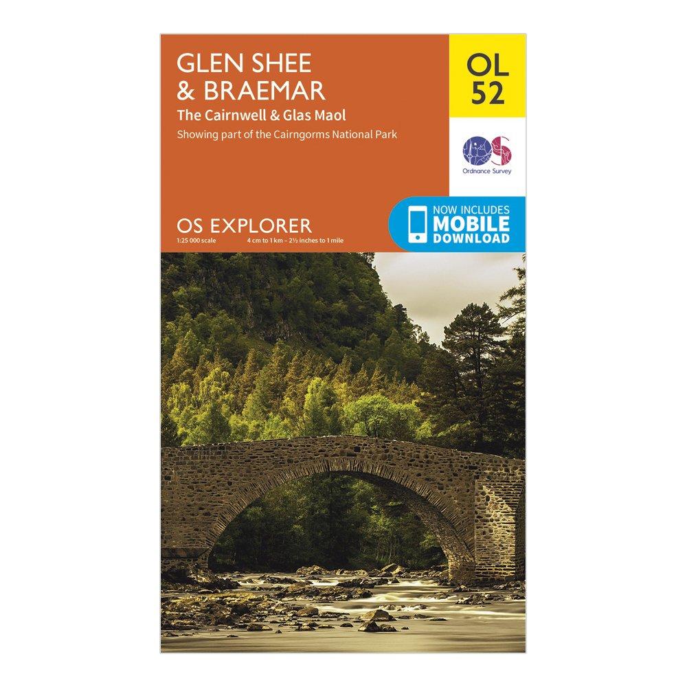
Ordnance Survey Explorer Ol52 Glen Shee & Braemar Map With Digital Version, D
Providing complete GB coverage, the OS Explorer map series details _information essential in the great outdoors, including youth hostels, _pubs and visitor information. Rights of way, fences, permissive paths _and bridleways are clearly shown, ensuring you have the best information_ to get the most out...
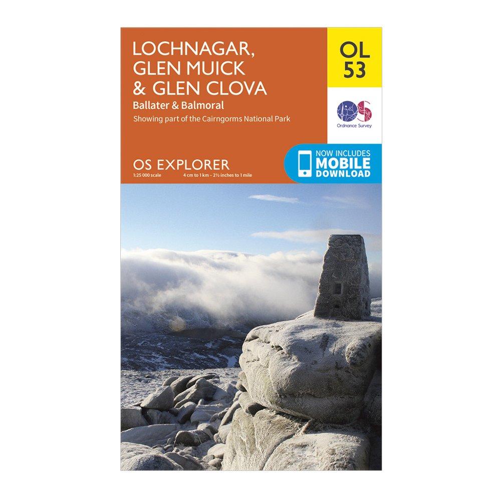
Ordnance Survey Explorer Ol53 Lochnagar, Glen Muick & Glen Clova Map - Orange, Orange
Cateran TrailGrampianTaysideBallater1:25 000 scale (4 cm to 1 km - 2.5 inches to 1 mile)This map comes with a digital version which you can download to your smartphone or tablet.
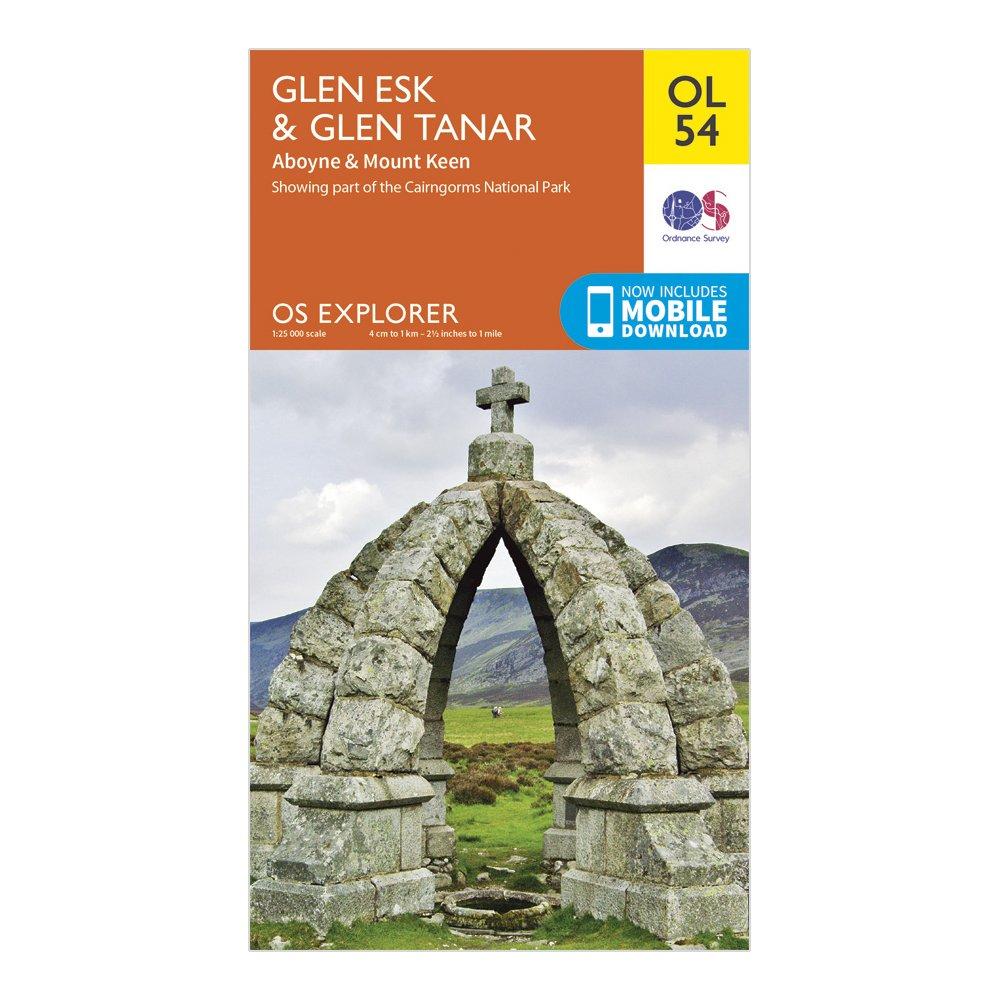
Ordnance Survey Explorer Ol54 Glen Esk & Glen Tanar Map With Digital Version - Orange, Orange
Providing complete GB coverage, the OS Explorer map series details information essential in the great outdoors, including youth hostels, pubs and visitor information. Rights of way, fences, permissive paths and bridleways are clearly shown, ensuring you have the best information to get the most out of...
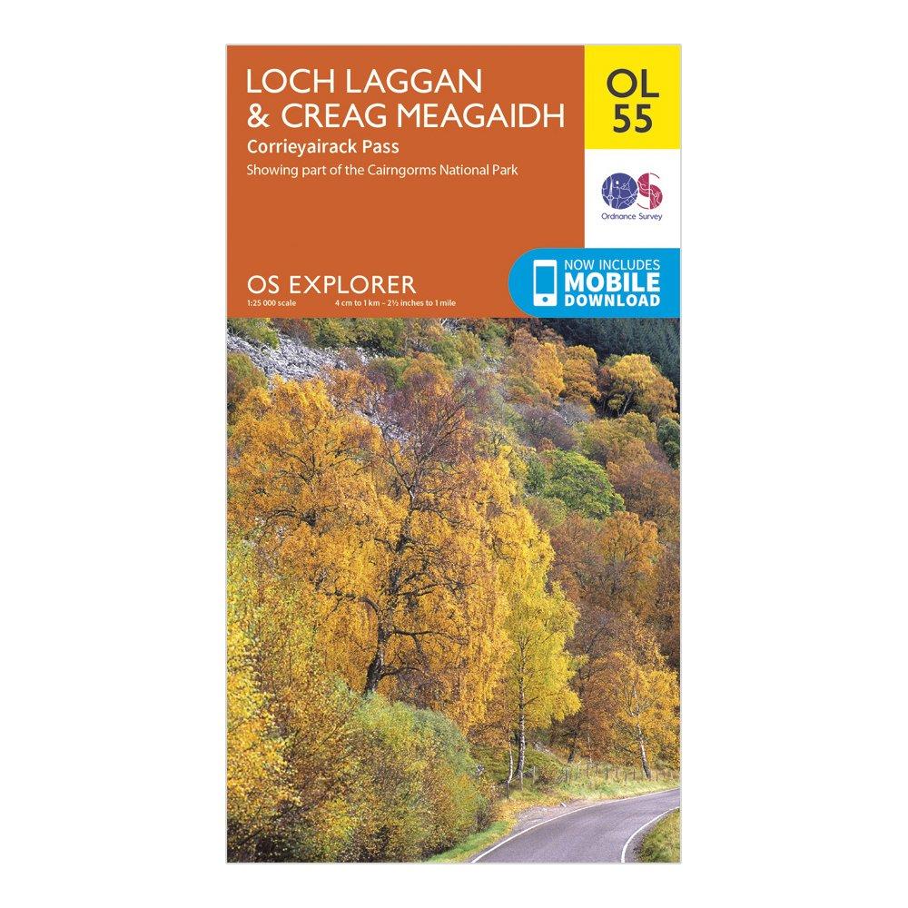
Ordnance Survey Explorer Ol55 Loch Laggan & Creag Meagaidh Map With Digital Version - Orange, Orange
Providing complete GB coverage, the OS Explorer map series details information essential in the great outdoors, including youth hostels, pubs and visitor information. Rights of way, fences, permissive paths and bridleways are clearly shown, ensuring you have the best information to get the most out of...
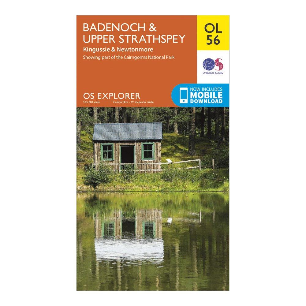
Ordnance Survey Explorer Ol 56 Badenoch & Strathspey Map - Orange, Orange
FeaturesBadenoch WayHighland1:25,000 scale (4 cm to 1 km - 2.5 inches to 1 mile)This map comes with a digital version which you can download to your smartphone or tablet.