Ordnance Survey Ol 42 Explorer Kielder Water & Forest Active Map - Orange, Orange
FeaturesDetailed and easy to read map from Ordnance SurveyScale: 1:25,000Shows tourist information points, popular sites, viewpoints, places of interest and rights of way informationActive weatherproof map
Ordnance Survey Ol 50 Explorer Ben Alder, Loch Ericht & Loch Laggan - Orange, Orange
Providing complete GB coverage, the OS Explorer map series details information essential in the great outdoors, including youth hostels, pubs and visitor information. Rights of way, fences, permissive paths and bridleways are clearly shown, ensuring you have the best information to get the most out of...
Ordnance Survey Ol 60 Explorer Lochindorb, Grantown-On-Spey & Carrbridge Map - Orange, Orange
Providing complete GB coverage, the OS Explorer map series details information essential in the great outdoors, including youth hostels, pubs and visitor information. Rights of way, fences, permissive paths and bridleways are clearly shown, ensuring you have the best information to get the most out of...
Ordnance Survey Ol 62 Explorer Coreen Hills & Glenlivet Map - Orange, Orange
FeaturesDetailed and easy to read map from Ordnance SurveyScale: 1:25,000Shows tourist information points, popular sites, viewpoints, places of interest and rights of way information
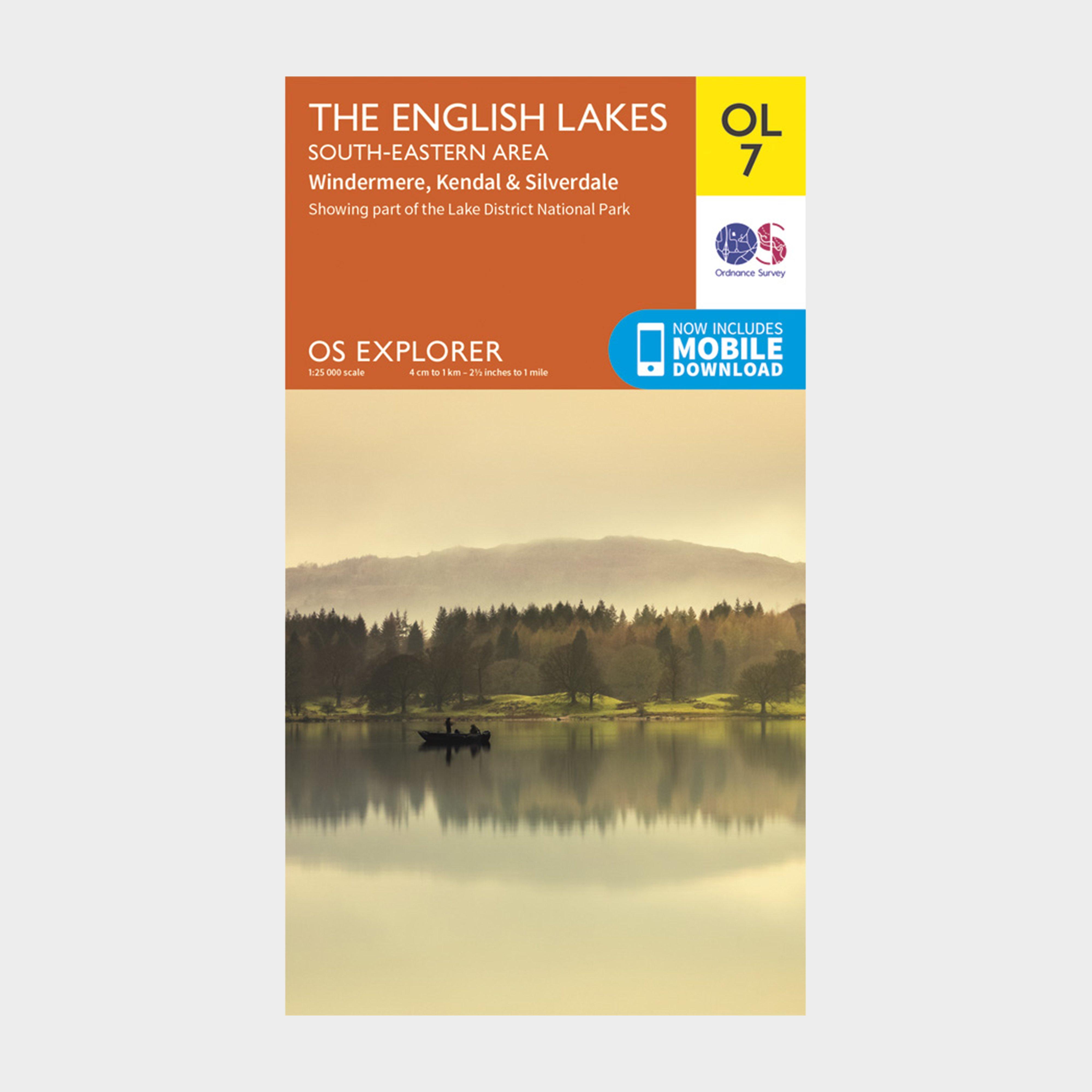
Ordnance Survey Ol 7 Explorer The Lake District: South-Eastern Area Map - Orange, Orange
FeaturesDetailed and easy to read map from Ordnance SurveyScale: 1:25,000Includes mobile download of map for use on your smartphoneShows tourist information points, popular sites, viewpoints, places of interest and rights of way information
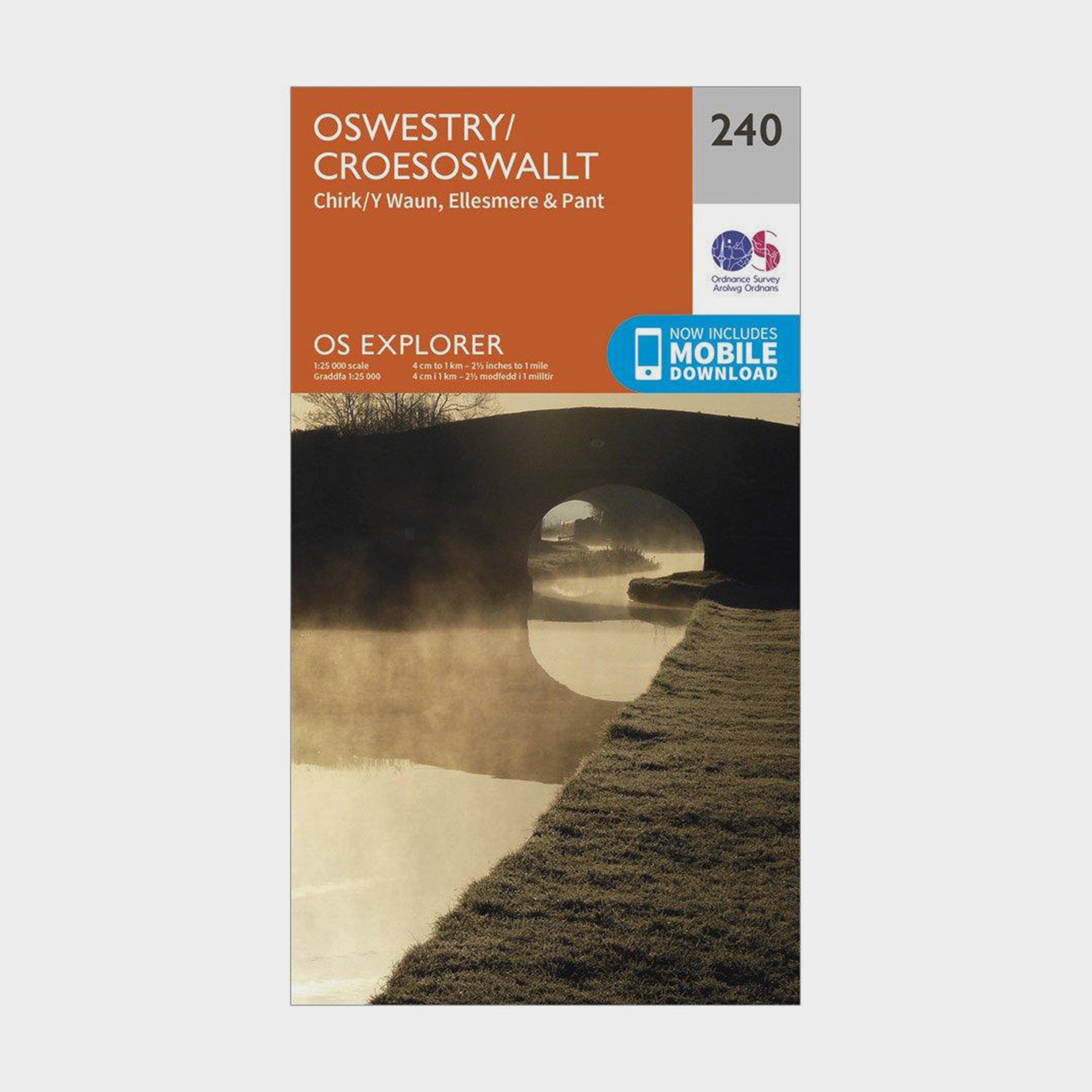
Ordnance Survey Os Explorer 240 Oswestry Map With Digital Version - Orange, Orange
Providing complete GB coverage, the OS Explorer map series details information essential in the great outdoors, including youth hostels, pubs and visitor information. Rights of way, fences, permissive paths and bridleways are clearly shown, ensuring you have the best information to get the most out of...
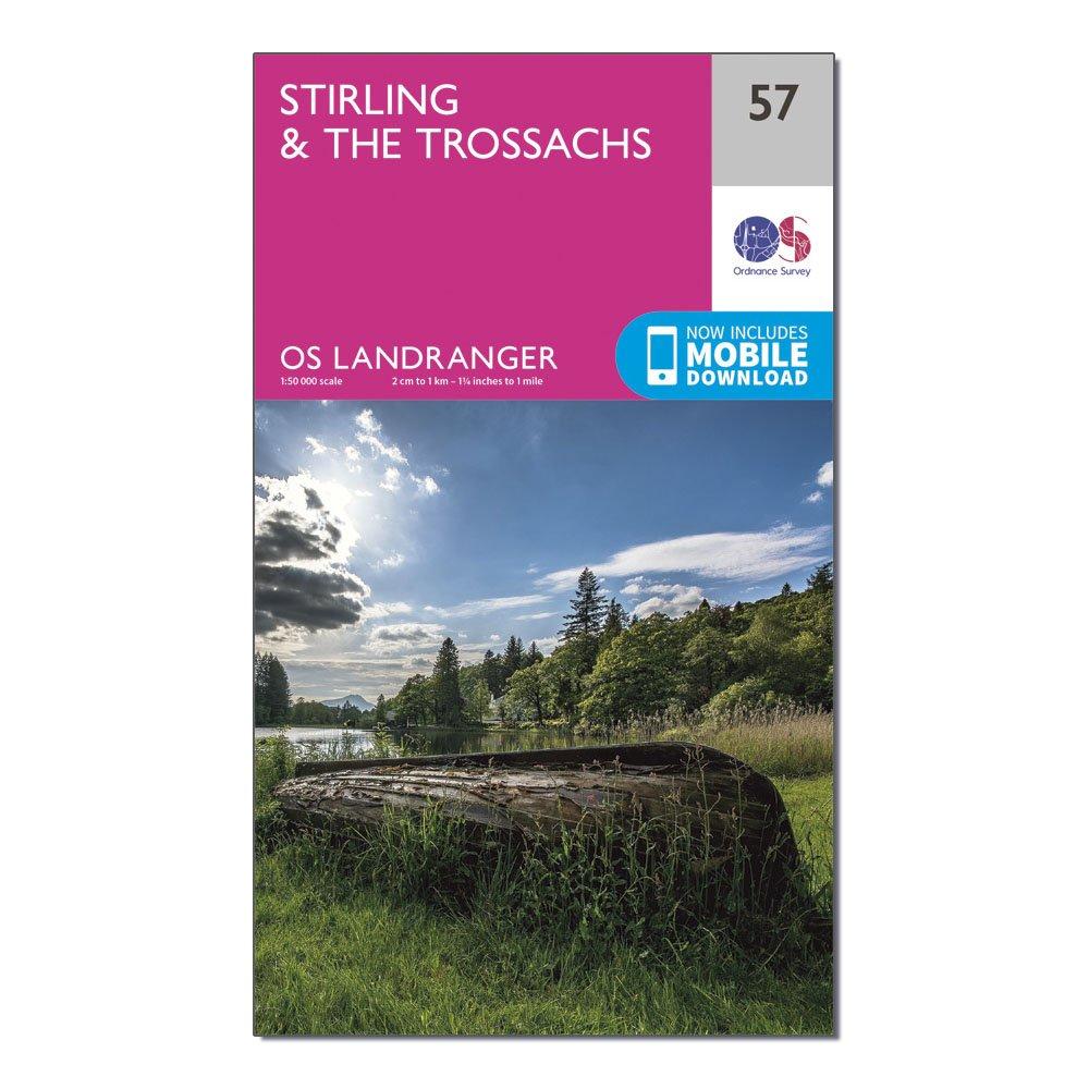
Ordnance Survey Os Landranger 57 Stirling & The Trossachs Map - Pink, Pink
This map comes with a digital version which you can download to your smartphone or tablet.Go to OS.uk/redeem for more details (terms and conditions apply).Scratch off the panel on the inside cover of the map to reveal a code, you are then just three easy steps away from downloading your digital map.If...

Ordnance Survey Pathfinder 10 - Snowdonia, SNOWDONIA
The Ordnance Survey Pathfinder series provides comprehensive information on local walks of varying lengths around Snowdonia. The series uses written descriptions and Ordnance Survey mapping to guide walkers along circular, graded routes around the area._A comprehensive guide book for walks in SnowdoniaContains...
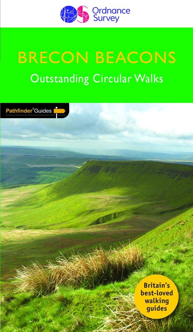
Ordnance Survey Pathfinder 18 - Brecon Beacons, BEACONS
The Ordnance Survey Pathfinder series provides comprehensive information on local walks of varying lengths around Brecon Beacons. The series uses written descriptions and Ordnance Survey mapping to guide walkers along circular, graded routes around the area._A comprehensive guide book for walks in Brecon...
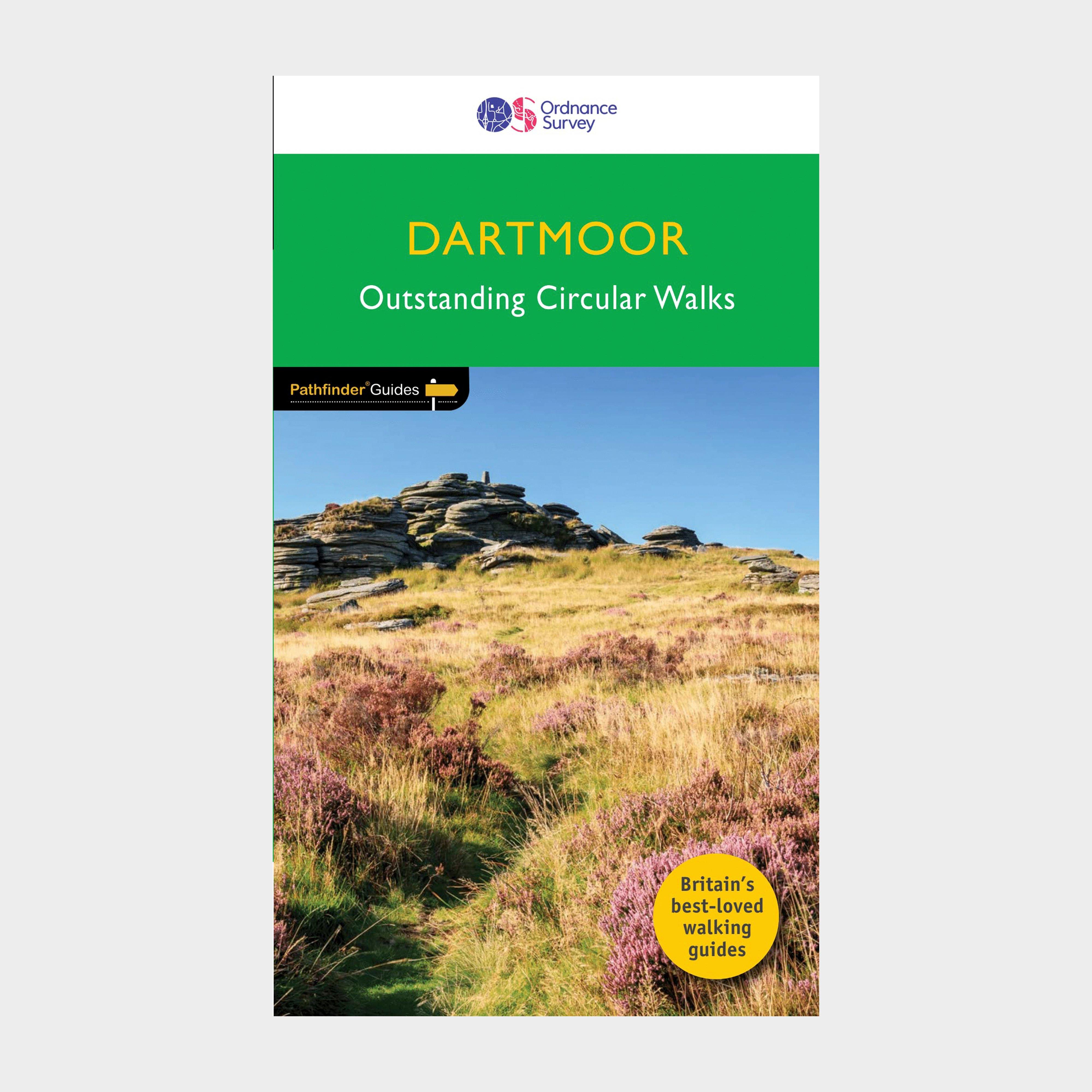
Ordnance Survey Pathfinder 26 - Dartmoor - Green, Green
The Ordnance Survey Pathfinder series provides comprehensive information on local walks of varying lengths around Dartmoor. The series uses written descriptions and Ordnance Survey mapping to guide walkers along circular, graded routes around the area._A comprehensive guide book for walks in DartmoorContains...
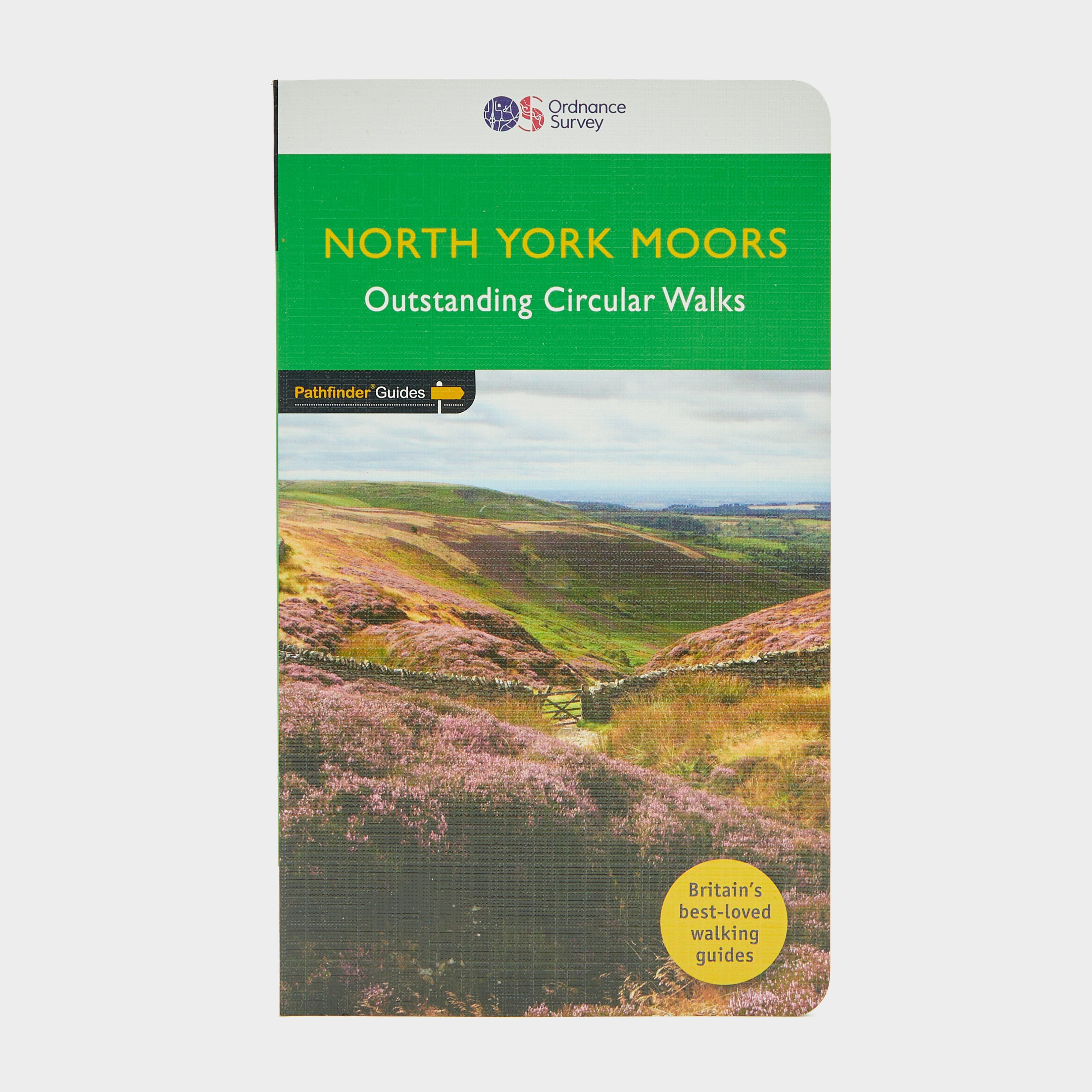
Ordnance Survey Pathfinder 28 - North York Moors, MOORS
The Ordnance Survey Pathfinder series provides comprehensive information on local walks of varying lengths around North York Moors. The series uses written descriptions and Ordnance Survey mapping to guide walkers along circular, graded routes around the area._A comprehensive guide book for walks in...
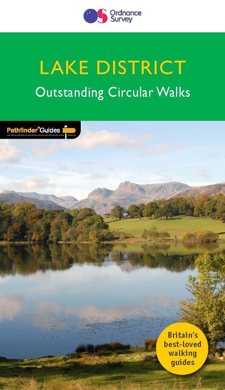
Ordnance Survey Pathfinder 60 - Lake District, DISTRICT
The Ordnance Survey Pathfinder series provides comprehensive information on local walks of varying lengths around the Lake District. The series uses written descriptions and Ordnance Survey mapping to guide walkers along circular, graded routes around the area._A comprehensive guide book for walks in...
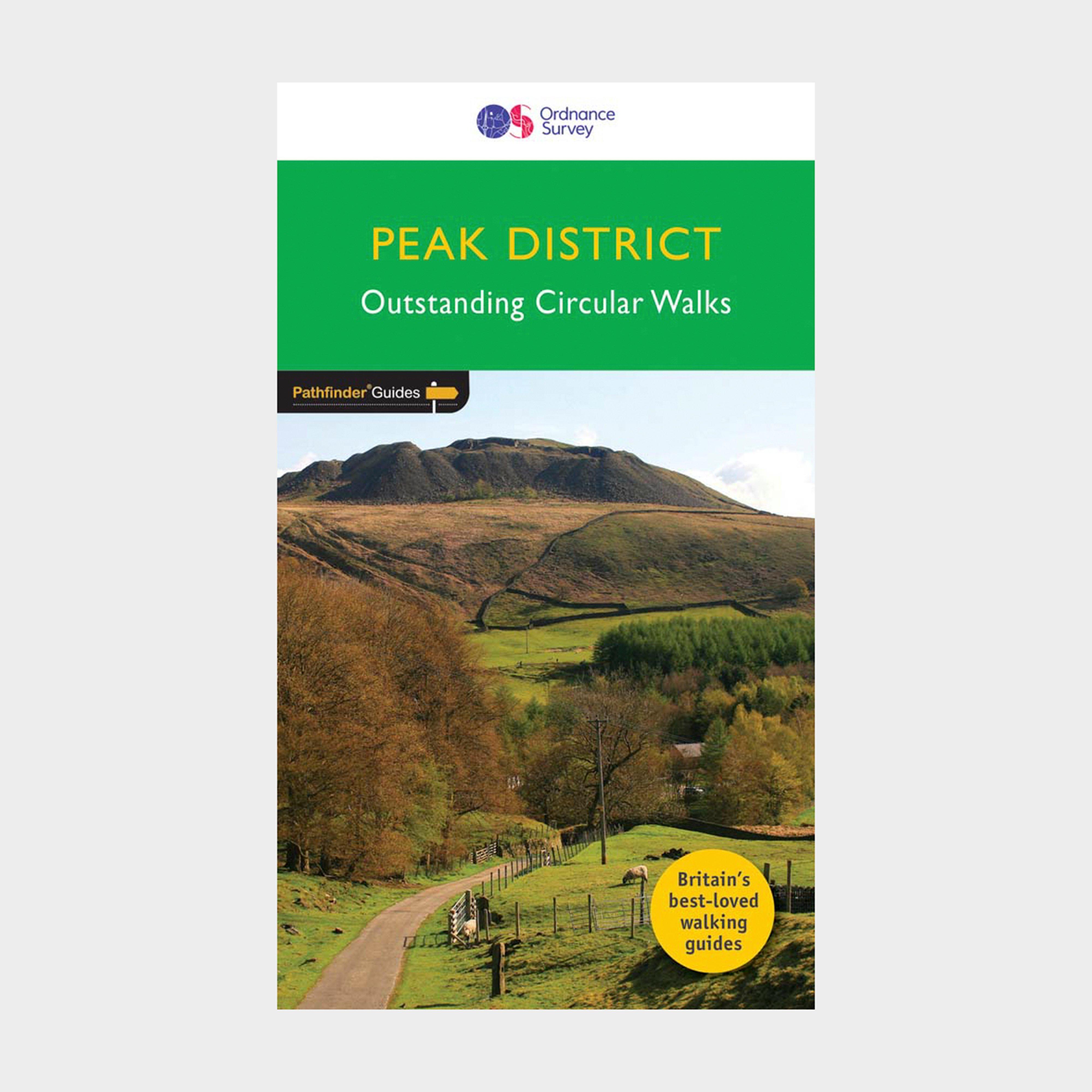
Ordnance Survey Pathfinder 63 - Peak District - Green, Green
The Ordnance Survey Pathfinder series provides comprehensive information on local walks of varying lengths around the Peak District. The series uses written descriptions and Ordnance Survey mapping to guide walkers along circular, graded routes around the area._A comprehensive guide book for walks in...
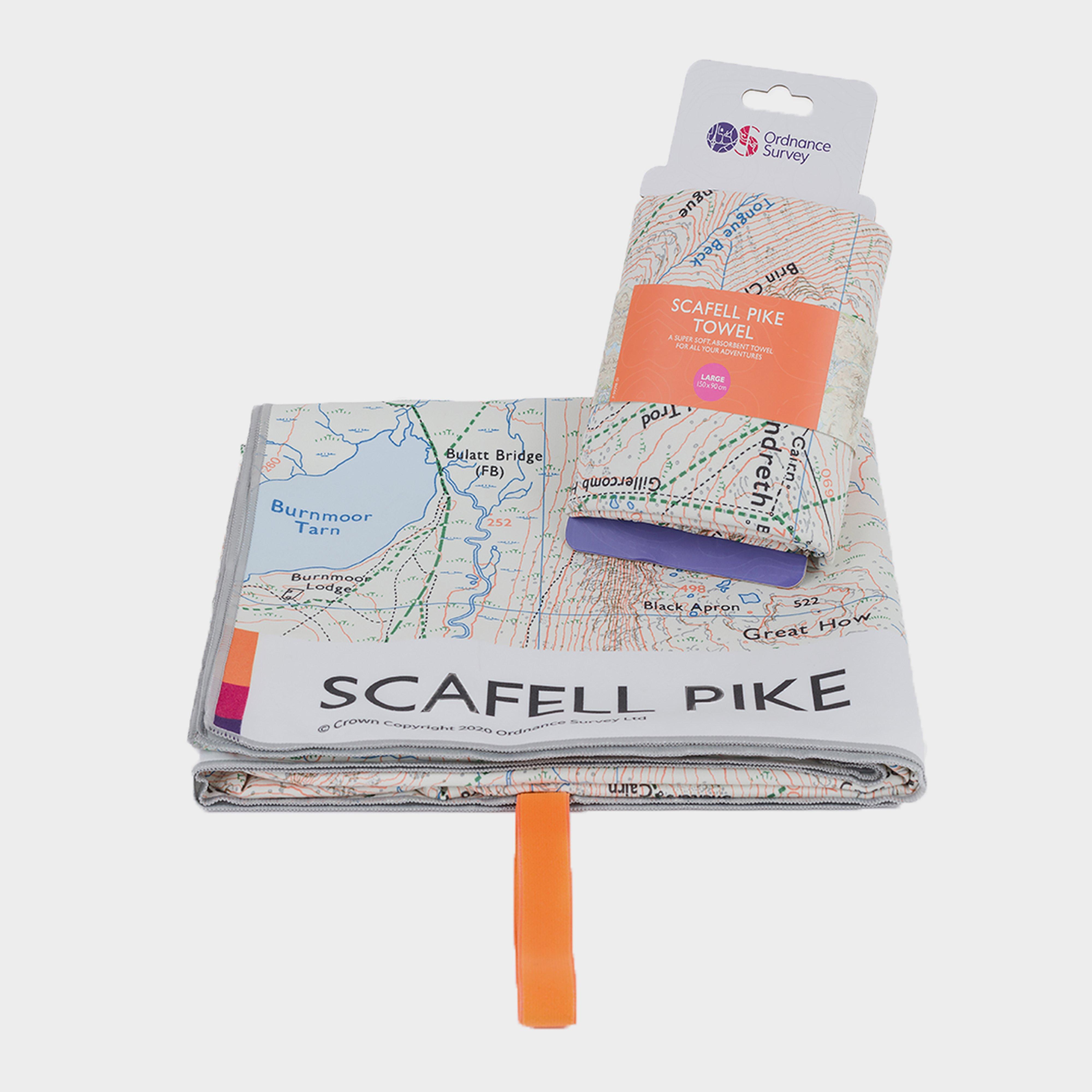
Ordnance Survey Scafell Pike Large Travel Towel - White, White
This giant size travel towel is made from highly absorbent soft fibre material, making it both practical and nice to the touch._The Polygene permanent odour control helps keep down smells - no more Rover stinking up the car on the ride home. Scale Scafell Pike with no worry of vertigo, neatly stow away...

Ordnance Survey Scafell Thermal Bottle - White, White
Food-grade stainless stealVacuum insulatedKeeps drinks hot for 6 hoursKeeps drinks cold for 12 hoursLeakproof screw-on lid with silicone handleComplies with EN 12546 - 1:2000Volume: 500ml