Ordnance Survey Ol 17 Explorer Snowdon Map - Orange, Orange
Providing complete GB coverage, the OS Explorer map series details information essential in the great outdoors, including youth hostels, pubs and visitor information. Rights of way, fences, permissive paths and bridleways are clearly shown, ensuring you have the best information to get the most out of...
Ordnance Survey Ol 19 Explorer Howgill Fells And Upper Eden Valley Active Map - Orange, Orange
FeaturesDetailed and easy to read map from Ordnance SurveyScale: 1:25,000Shows tourist information points, popular sites, viewpoints, places of interest and rights of way informationActive weatherproof version
Ordnance Survey Ol 20 Explorer South Devon Active Map - Orange, Orange
FeaturesDetailed and easy to read map from Ordnance SurveyScale: 1:25,000Shows tourist information points, popular sites, viewpoints, places of interest and rights of way informationActive weatherproof version
Ordnance Survey Ol 30 Explorer Yorkshire Dales - Northern & Central Area Active Map, D
Providing complete GB coverage, the OS Explorer map series details information essential in the great outdoors, including youth hostels, pubs and visitor information. Rights of way, fences, permissive paths and bridleways are clearly shown, ensuring you have the best information to get the most out of...
Ordnance Survey Ol 40 Explorer The Broads Active Map - Orange, Orange
Providing complete GB coverage, the OS Explorer map series details information essential in the great outdoors, including youth hostels, pubs and visitor information. Rights of way, fences, permissive paths and bridleways are clearly shown, ensuring you have the best information to get the most out of...
Ordnance Survey Ol 42 Explorer Kielder Water & Forest Active Map - Orange, Orange
FeaturesDetailed and easy to read map from Ordnance SurveyScale: 1:25,000Shows tourist information points, popular sites, viewpoints, places of interest and rights of way informationActive weatherproof map
Ordnance Survey Ol 50 Explorer Ben Alder, Loch Ericht & Loch Laggan - Orange, Orange
Providing complete GB coverage, the OS Explorer map series details information essential in the great outdoors, including youth hostels, pubs and visitor information. Rights of way, fences, permissive paths and bridleways are clearly shown, ensuring you have the best information to get the most out of...
Ordnance Survey Ol 60 Explorer Lochindorb, Grantown-On-Spey & Carrbridge Map - Orange, Orange
Providing complete GB coverage, the OS Explorer map series details information essential in the great outdoors, including youth hostels, pubs and visitor information. Rights of way, fences, permissive paths and bridleways are clearly shown, ensuring you have the best information to get the most out of...
Ordnance Survey Ol 62 Explorer Coreen Hills & Glenlivet Map - Orange, Orange
FeaturesDetailed and easy to read map from Ordnance SurveyScale: 1:25,000Shows tourist information points, popular sites, viewpoints, places of interest and rights of way information
Ordnance Survey Ol 7 Explorer The Lake District: South-Eastern Area Map - Orange, Orange
FeaturesDetailed and easy to read map from Ordnance SurveyScale: 1:25,000Includes mobile download of map for use on your smartphoneShows tourist information points, popular sites, viewpoints, places of interest and rights of way information
Ordnance Survey Os Explorer 240 Oswestry Map With Digital Version - Orange, Orange
Providing complete GB coverage, the OS Explorer map series details information essential in the great outdoors, including youth hostels, pubs and visitor information. Rights of way, fences, permissive paths and bridleways are clearly shown, ensuring you have the best information to get the most out of...
Ordnance Survey Pathfinder 26 - Dartmoor - Green, Green
The Ordnance Survey Pathfinder series provides comprehensive information on local walks of varying lengths around Dartmoor. The series uses written descriptions and Ordnance Survey mapping to guide walkers along circular, graded routes around the area._A comprehensive guide book for walks in DartmoorContains...
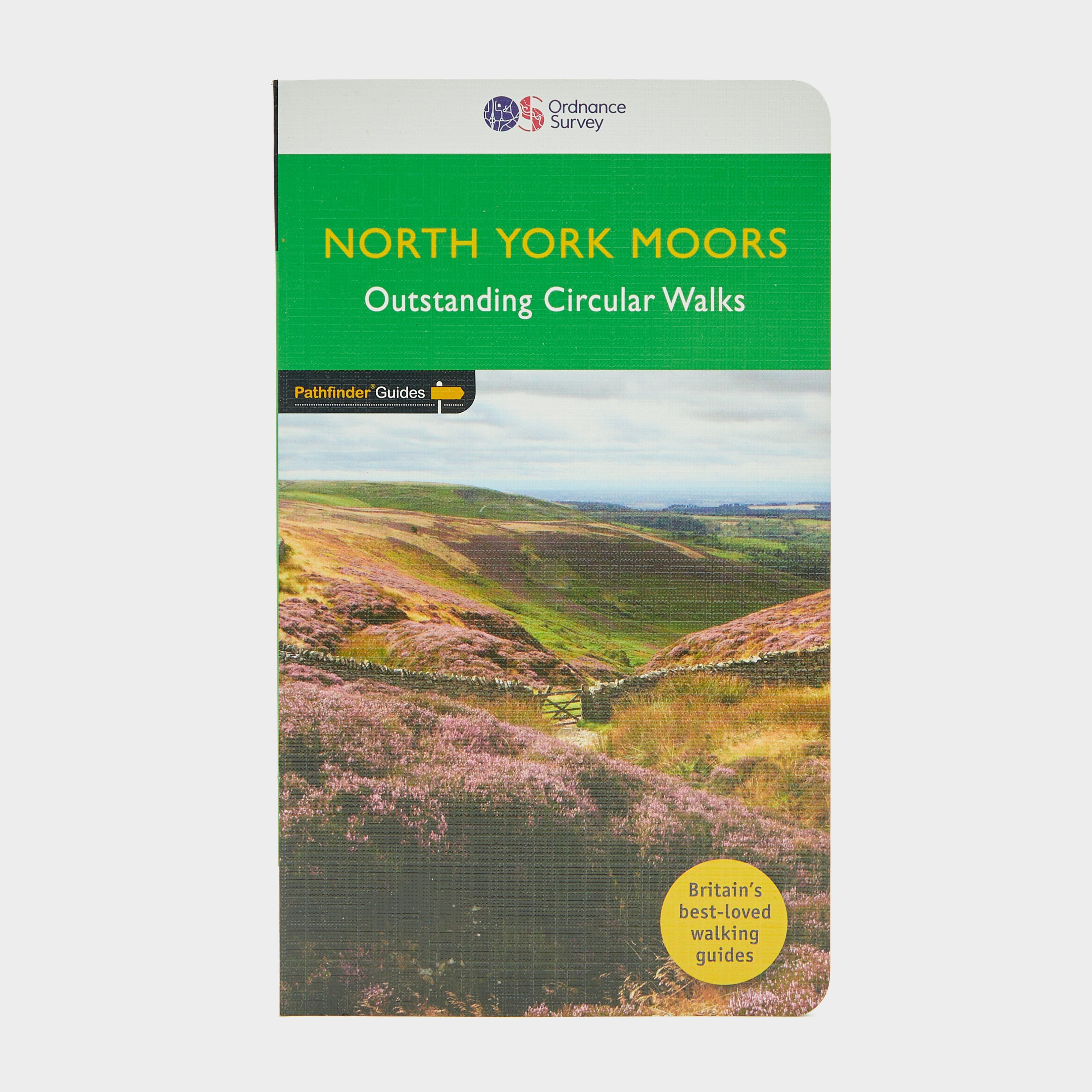
Ordnance Survey Pathfinder 28 - North York Moors, MOORS
The Ordnance Survey Pathfinder series provides comprehensive information on local walks of varying lengths around North York Moors. The series uses written descriptions and Ordnance Survey mapping to guide walkers along circular, graded routes around the area._A comprehensive guide book for walks in...

Ordnance Survey Snowdonia Micro Towel - Orange, ORANGE
Soft fibre fabricLightweight, ultra-compact, and highly absorbentTreated with Polygene permanent odour controlDries 8x faster than a standard beach towelAbsorbs 9 x its own weight in waterComes in a tough ripstop carry bagSnowdonia Map DesignSize: 37cm x 37cmWash separately at 40 degrees; do not iron,...
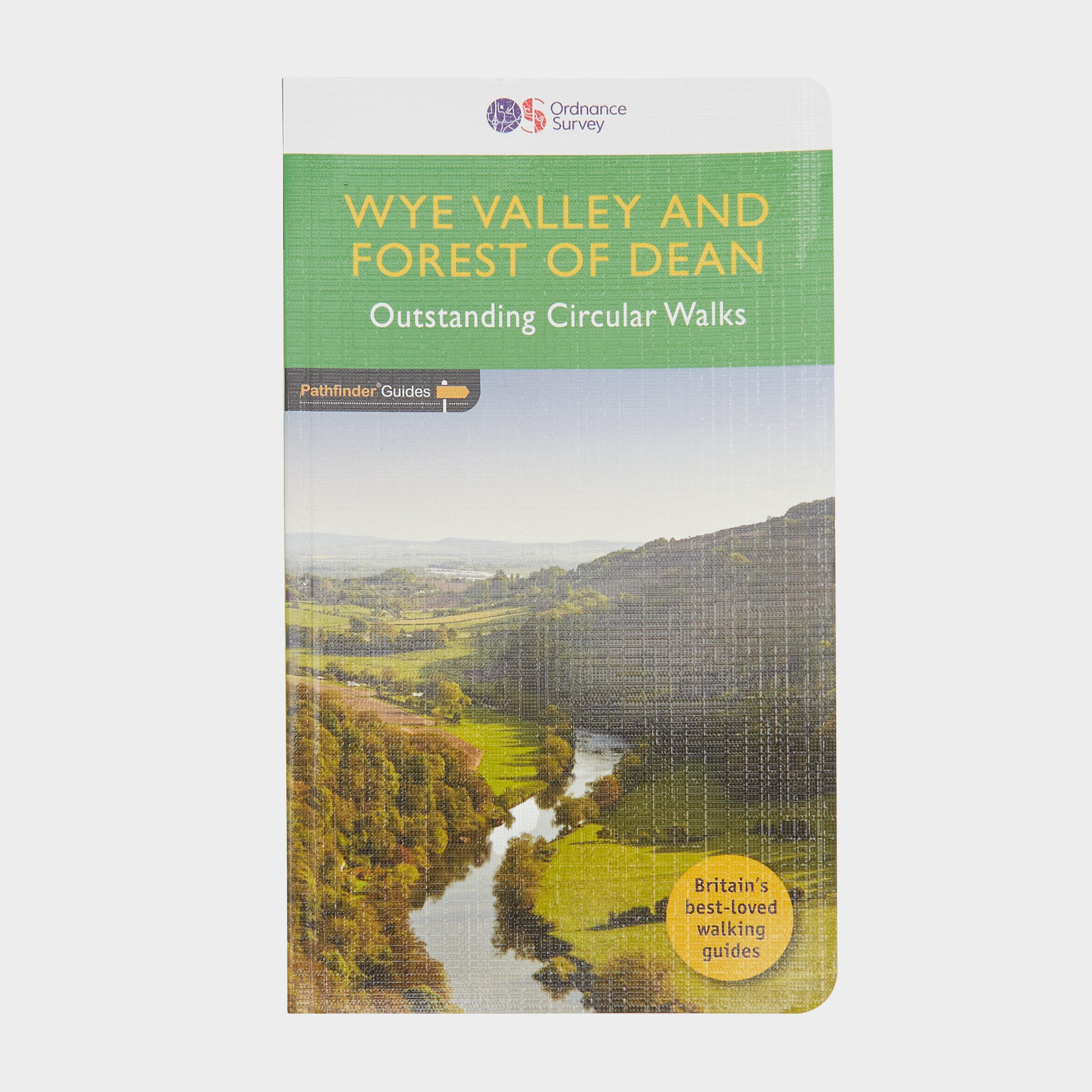
Pathfinder 29 - Wye Valley And Forest Of Dean, DEAN
The Ordnance Survey Pathfinder series provides comprehensive information on local walks of varying lengths around Wye Valley and the Forest of Dean. The series uses written descriptions and Ordnance Survey mapping to guide walkers along circular, graded routes around the area._A comprehensive guide book...