Ordnance Survey Explorer Ol 48 Ben Lawers & Glen Lyon Map - Orange, Orange
FeaturesCentral1:25 000 scale (4 cm to 1 km - 2.5 inches to 1 milesThis map comes with a digital version which you can download to your smartphone or tablet.
Ordnance Survey Explorer Ol 49 Pitlochry & Loch Tummel Map, D
FeaturesTaysidePitlochry1:25 000 scale (4 cm to 1 km - 2.5 inches to 1 mile)This map comes with a digital version which you can download to your smartphone or tablet.
Ordnance Survey Explorer Ol4 The English Lakes - North Western Area With Digital Version, D
Providing complete GB coverage, the OS Explorer map series details information essential in the great outdoors, including youth hostels, pubs and visitor information. Rights of way, fences, permissive paths and bridleways are clearly shown, ensuring you have the best information to get the most out of...
Ordnance Survey Explorer Ol51 Atholl Map With Digital Version - Orange, Orange
FeaturesHighlandGrampianTayside1:25 000 scale (4 cm to 1 km - 2.5 inches to 1 mile)This map comes with a digital version which you can download to your smartphone or tablet.
Ordnance Survey Explorer Ol52 Glen Shee & Braemar Map With Digital Version, D
Providing complete GB coverage, the OS Explorer map series details _information essential in the great outdoors, including youth hostels, _pubs and visitor information. Rights of way, fences, permissive paths _and bridleways are clearly shown, ensuring you have the best information_ to get the most out...
Ordnance Survey Explorer Ol53 Lochnagar, Glen Muick & Glen Clova Map - Orange, Orange
Cateran TrailGrampianTaysideBallater1:25 000 scale (4 cm to 1 km - 2.5 inches to 1 mile)This map comes with a digital version which you can download to your smartphone or tablet.
Ordnance Survey Explorer Ol54 Glen Esk & Glen Tanar Map With Digital Version - Orange, Orange
Providing complete GB coverage, the OS Explorer map series details information essential in the great outdoors, including youth hostels, pubs and visitor information. Rights of way, fences, permissive paths and bridleways are clearly shown, ensuring you have the best information to get the most out of...
Ordnance Survey Explorer Ol55 Loch Laggan & Creag Meagaidh Map With Digital Version - Orange, Orange
Providing complete GB coverage, the OS Explorer map series details information essential in the great outdoors, including youth hostels, pubs and visitor information. Rights of way, fences, permissive paths and bridleways are clearly shown, ensuring you have the best information to get the most out of...
Ordnance Survey Explorer Ol 56 Badenoch & Strathspey Map - Orange, Orange
FeaturesBadenoch WayHighland1:25,000 scale (4 cm to 1 km - 2.5 inches to 1 mile)This map comes with a digital version which you can download to your smartphone or tablet.
Ordnance Survey Explorer Ol 57 Cairn Gorm & Aviemore Map, D
FeaturesCairngorms National ParkBadenoch WaySpeyside Way (Long Distance Route)HighlandGrampian1:25 000 scale (4 cm to 1 km - 2.5 inches to 1 mile) This map comes with a digital version which you can download to your smartphone or tablet.
Ordnance Survey Explorer Ol 59 Aboyne, Alford & Strathdon Map - Orange, Orange
FeaturesGrampianBallater1:25 000 scale (4 cm to 1 km - 2.5 inches to 1 mile)This map comes with a digital version which you can download to your smartphone or tablet.
Ordnance Survey Explorer Ol5 The English Lakes - North Eastern Area Map With Digital Version, D
Providing complete GB coverage, the OS Explorer map series details information essential in the great outdoors, including youth hostels, pubs and visitor information. Rights of way, fences, permissive paths and bridleways are clearly shown, ensuring you have the best information to get the most out of...
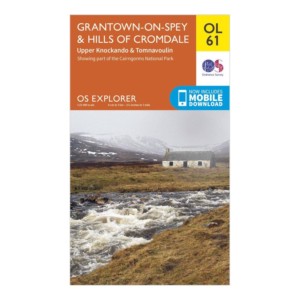
Ordnance Survey Explorer Ol 61 Grantown-On-Spey & Hills Of Cromdale Map - Orange, Orange
Speyside Way (Long Distance Route)HighlandGrampianGrantown-on-Spey1:25 000 scale (4 cm to 1 km - 2.5 inches to 1 mile)This map comes with a digital version which you can download to your smartphone or tablet.
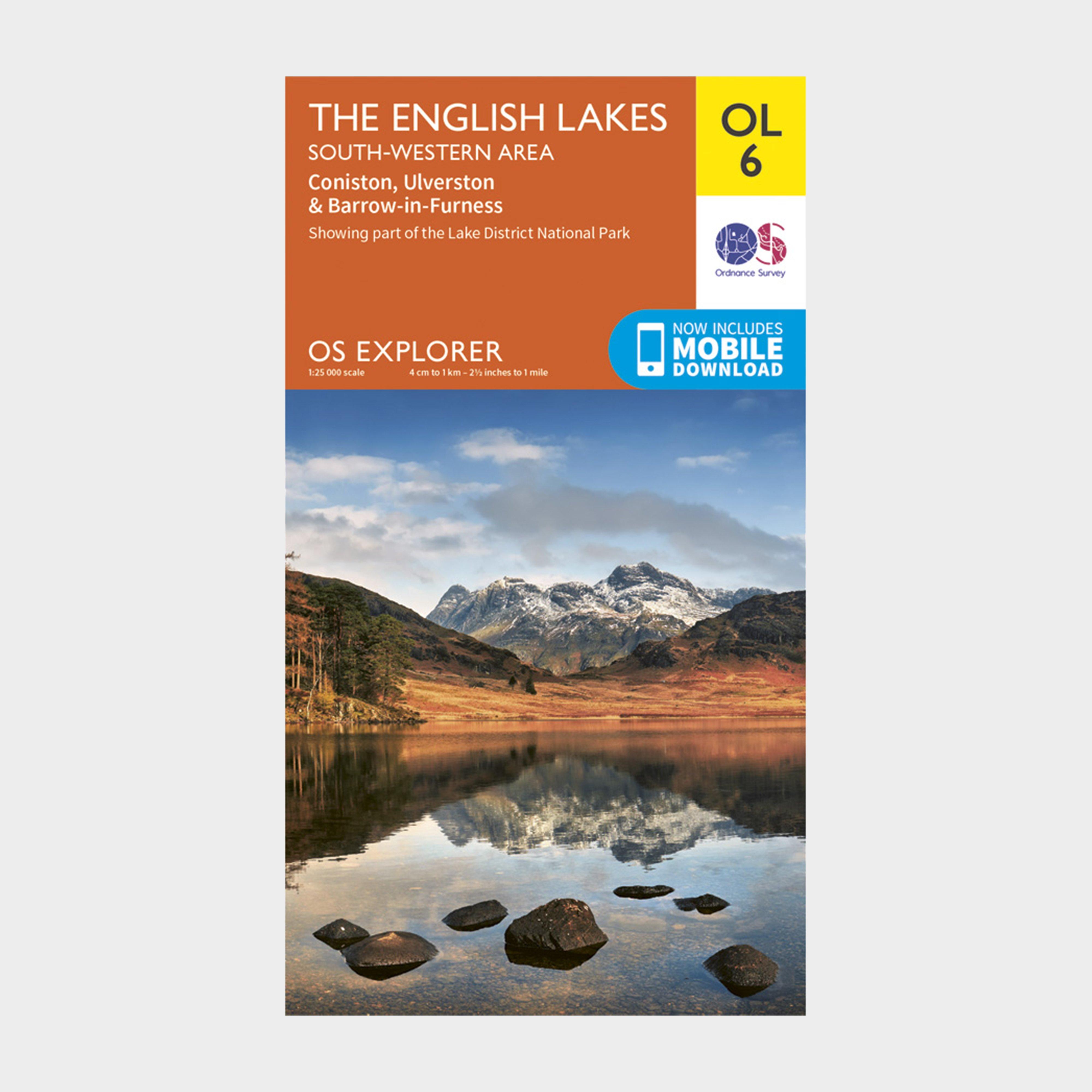
Ordnance Survey Explorer Ol 6 The Lake District: South-Western Area - Orange, Orange
FeaturesDetailed and easy to read map from Ordnance SurveyScale: 1:25,000Includes mobile download of map for use on your smartphoneShows tourist information points, popular sites, viewpoints, places of interest and rights of way information
Ordnance Survey Explorer Ol8 Chichester, South Harting & Selsey Map With Digital Version, D
Providing complete GB coverage, the OS Explorer map series details information essential in the great outdoors, including youth hostels, pubs and visitor information. Rights of way, fences, permissive paths and bridleways are clearly shown, ensuring you have the best information to get the most out...