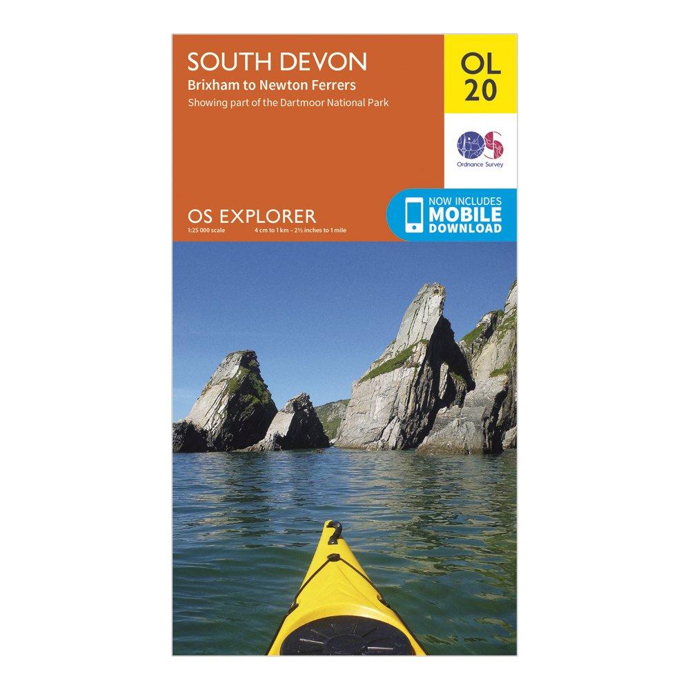
Ordnance Survey Explorer Ol 20 South Devon Map - Orange, Orange
Detailed and informative explorer map of South Devon from Ordnance SurveyCovers Salcombe, The River Avon, Brixham and Newton FerrersScale: 1:25000Now includes Mobile DownloadRecommended activity - walking / hiking / cycling / navigation / expedition
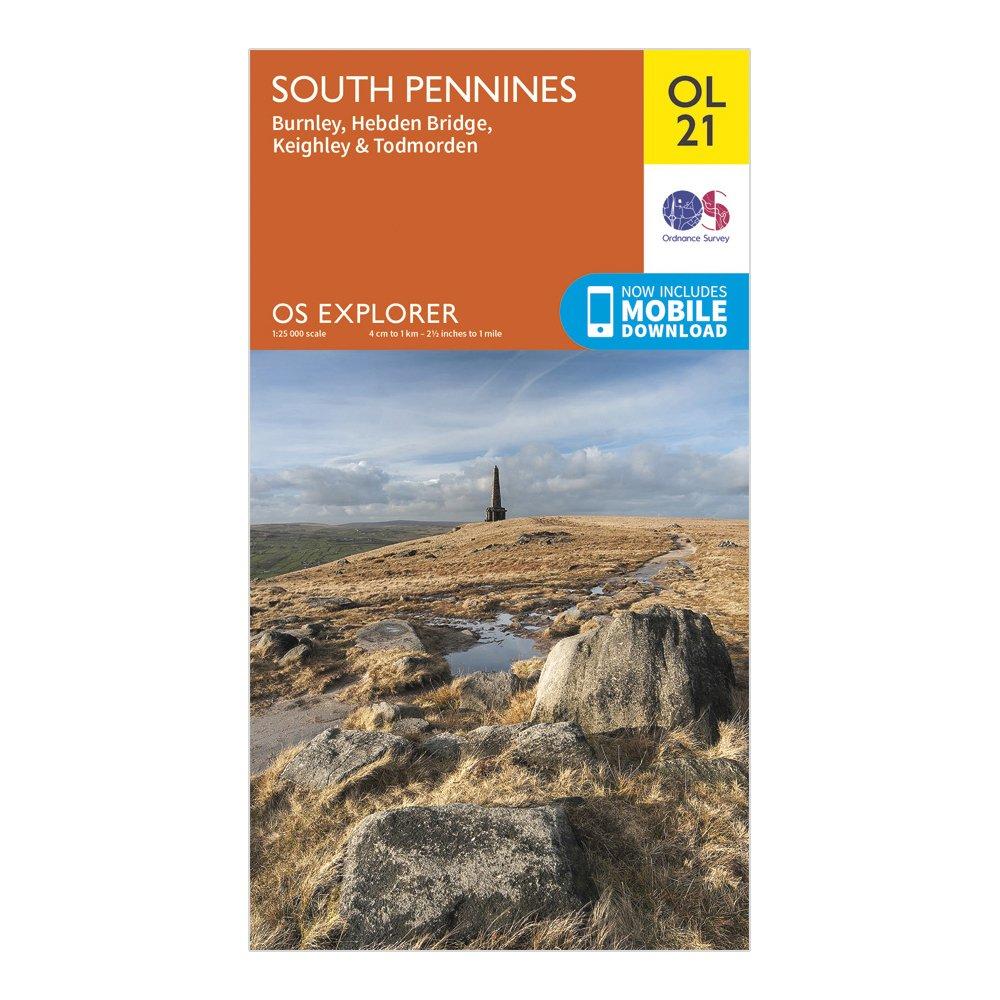
Ordnance Survey Explorer Ol 21 South Pennines Map, D
Detailed and informative explorer map of South Pennines from Ordnance SurveyCovers Burnley, Hebdem Bridge, Todmorden and KeighleyScale: 1:25000Now includes Mobile DownloadRecommended activity - walking / hiking / cycling / navigation / expedition
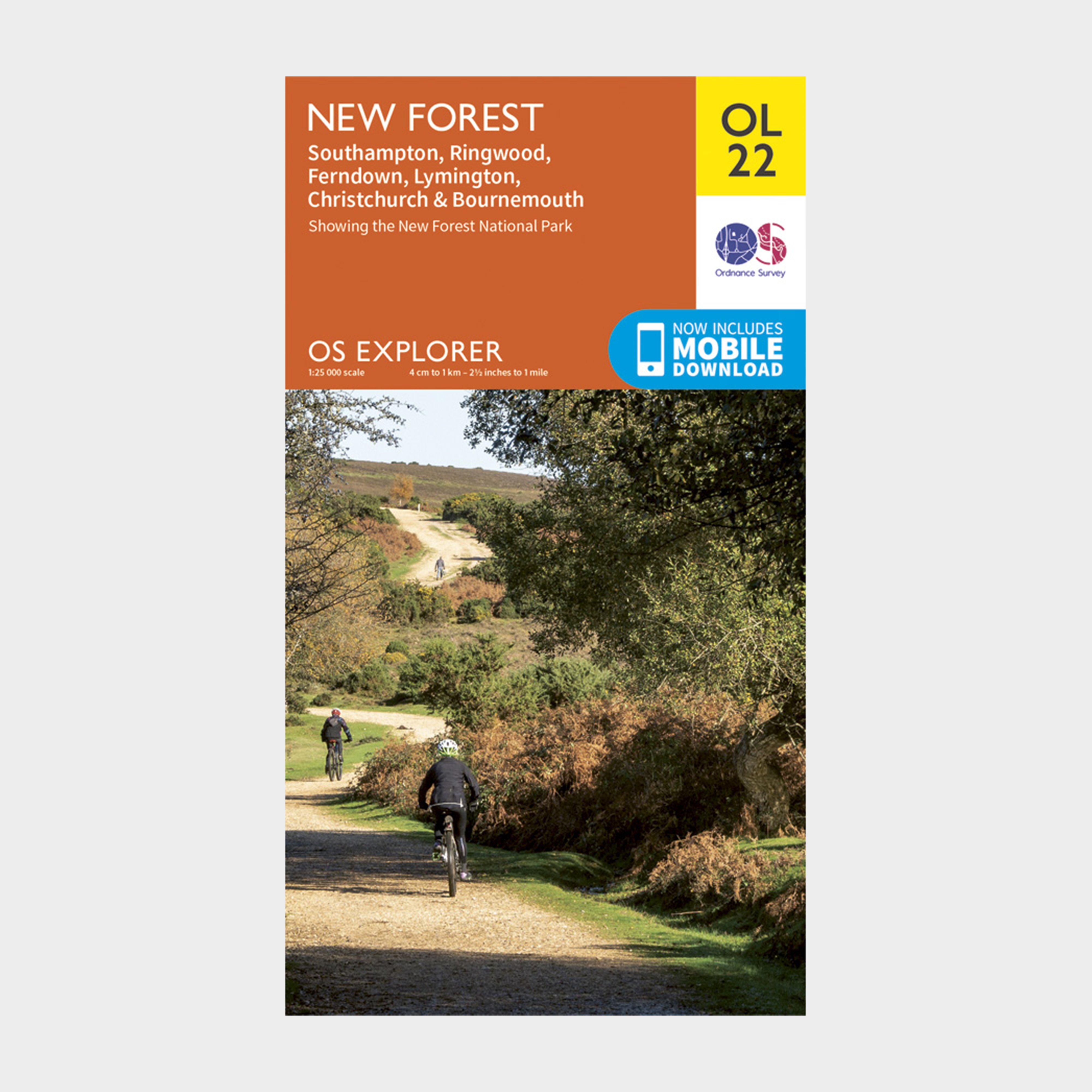
Ordnance Survey Explorer Ol22 New Forest Map With Digital Version - Orange, Orange
Providing complete GB coverage, the OS Explorer map series details information essential in the great outdoors, including youth hostels, pubs and visitor information. Rights of way, fences, permissive paths and bridleways are clearly shown, ensuring you have the best information to get the most out of...
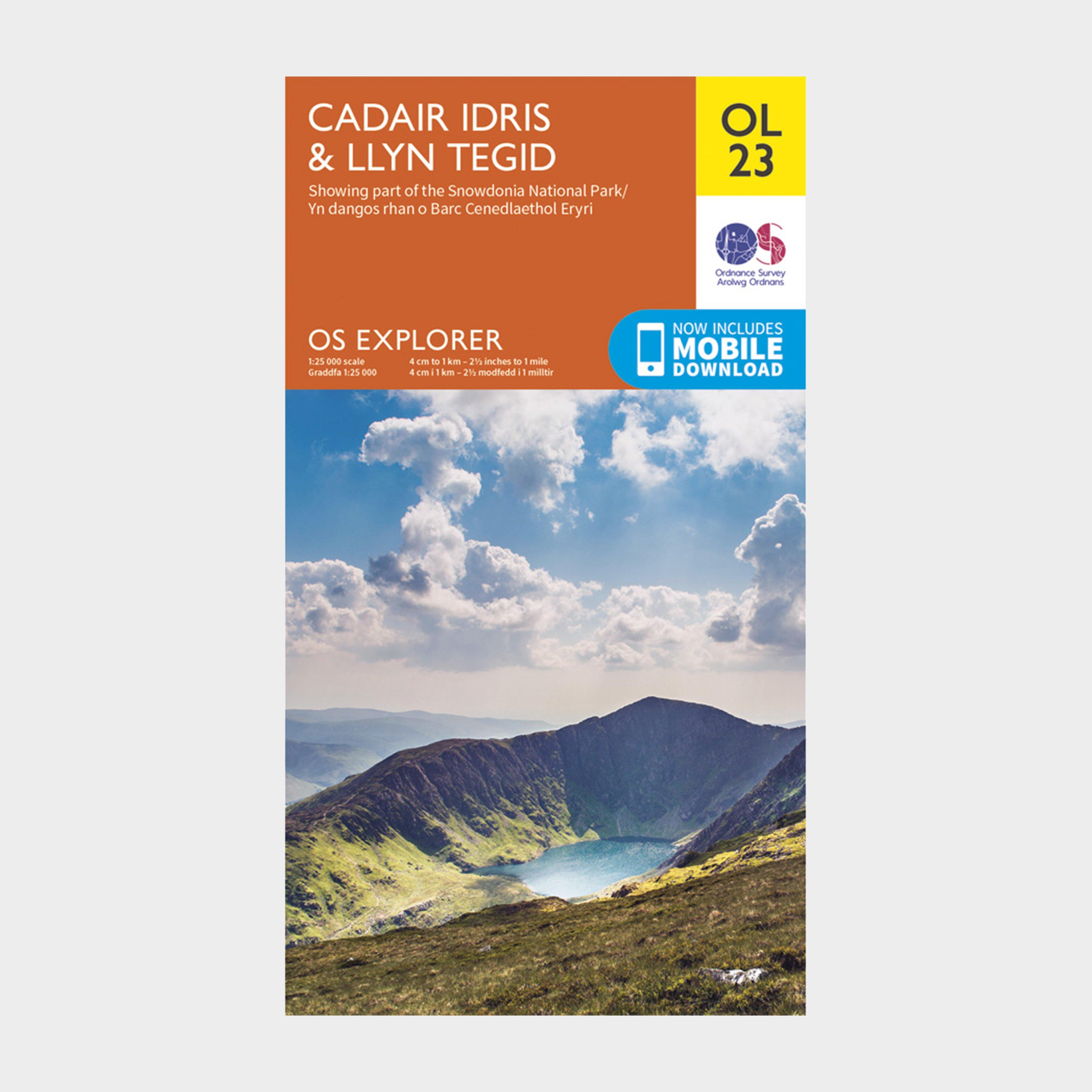
Ordnance Survey Explorer Ol23 Cadair Idris & Llyn Tegid Map With Digital Version - Orange, Orange
Providing complete GB coverage, the OS Explorer map series details information essential in the great outdoors, including youth hostels, pubs and visitor information. Rights of way, fences, permissive paths and bridleways are clearly shown, ensuring you have the best information to get the most out of...
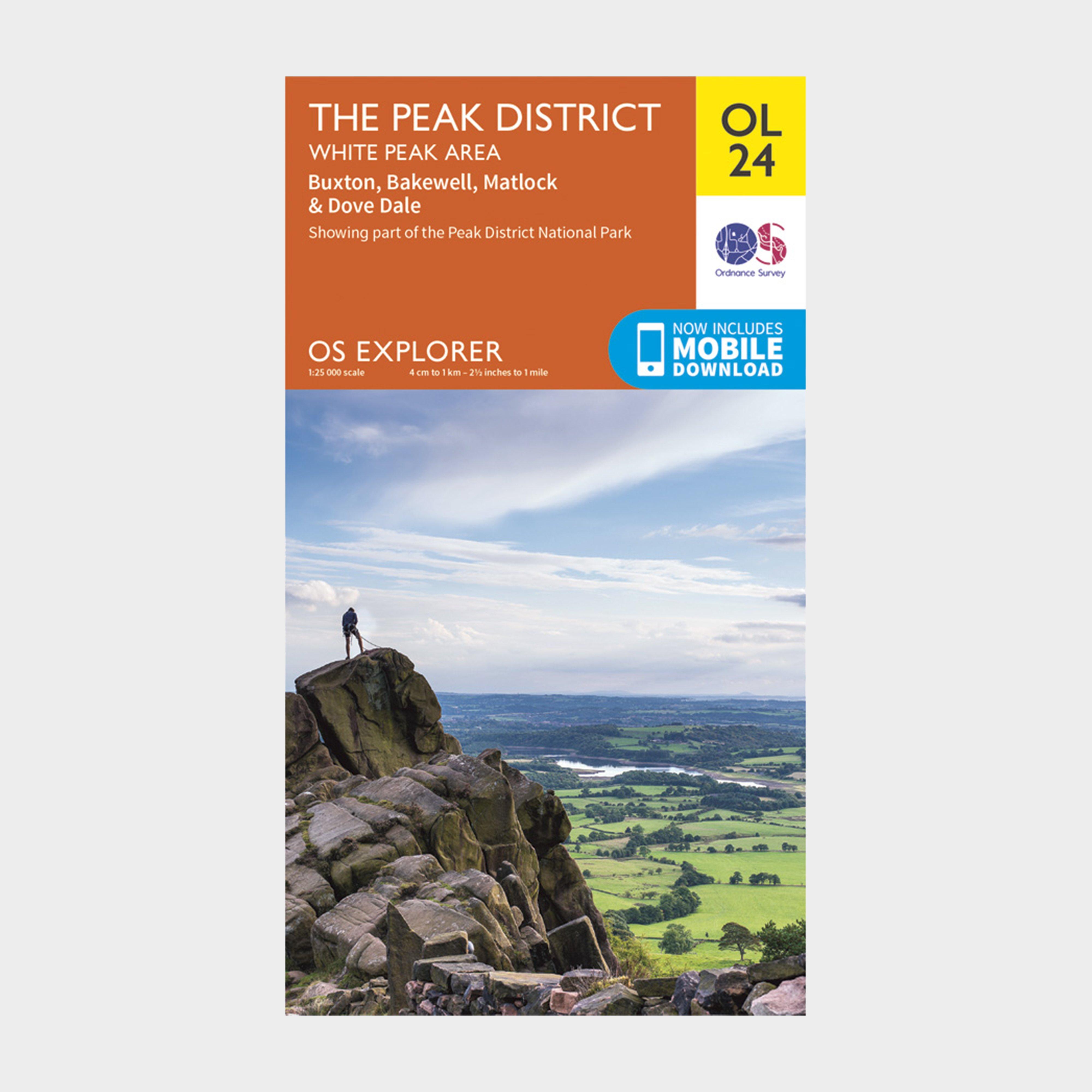
Ordnance Survey Explorer Ol24 The Peak District With Digital Version - Orange, Orange
Providing complete GB coverage, the OS Explorer map series details information essential in the great outdoors, including youth hostels, pubs and visitor information. Rights of way, fences, permissive paths and bridleways are clearly shown, ensuring you have the best information to get the most out of...
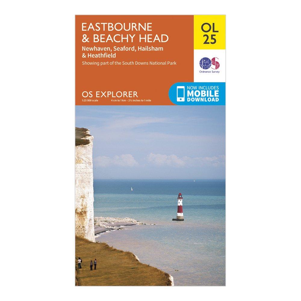
Ordnance Survey Explorer Ol 25 Eastbourne & Beachy Head Map - Orange, Orange
Detailed and informative explorer map of Eastbourne & Beachy Head from Ordnance SurveyCovers Beachy Head, the High Weald, South Downs National Park, South Downs Way, Cuckmere Haven, River Cucksmere and the 1066 Country WalkScale: 1:25000Now includes Mobile DownloadRecommended activity - walking / hiking...
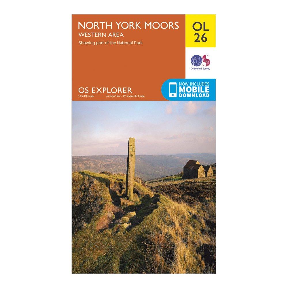
Ordnance Survey Explorer Ol 26 North York Moors Map (Western Area) - Orange, Orange
Detailed and informative explorer map of the North York Moors (western area) from Ordnance SurveyCovers the Cleveland Hills, Hambleton Hills, Saltburn-by-the-Sea, Guisborough, Helmsley, Roseberry Topping and a small section of the Howardian HillsScale: 1:25000Now includes Mobile DownloadRecommended activity...
Providing complete GB coverage, the OS Explorer map series details information essential in the great outdoors, including youth hostels, pubs and visitor information. Rights of way, fences, permissive paths and bridleways are clearly shown, ensuring you have the best information to get the most out of...
Ordnance Survey Explorer Ol28 Dartmoor Map With Digital Version - Orange, Orange
Providing complete GB coverage, the OS Explorer map series details information essential in the great outdoors, including youth hostels, pubs and visitor information. Rights of way, fences, permissive paths and bridleways are clearly shown, ensuring you have the best information to get the most...

Providing complete GB coverage, the OS Explorer map series details information essential in the great outdoors, including youth hostels, pubs and visitor information. Rights of way, fences, permissive paths and bridleways are clearly shown, ensuring you have the best information to get the most...
Providing complete GB coverage, the OS Explorer map series details information essential in the great outdoors, including youth hostels, pubs and visitor information. Rights of way, fences, permissive paths and bridleways are clearly shown, ensuring you have the best information to get the most out of...
Ordnance Survey Explorer Ol 31 North Pennines - Teesdale & Weardale Map - Orange, Orange
FeaturesPennine WayWeardale WayTeesdale WaySouth Tyne TrailPennine Way (National Trail)E2 (European Long Distance Route)Barnard CastleDurhamCumbriaNorthumberland1:25 000 scale (4 cm to 1 km - 2.5 inches to 1 mile)This map comes with a digital version which you can download to your smartphone or tablet.
Ordnance Survey Explorer Ol 32 Winchester, New Alresford & East Meon Map - Orange, Orange
FeaturesSouth DownsSouth Downs WayWayfarer's WalkClarendon WayThree Castles PathOxdrove WayItchen WayMonarch's Way (Book 3)Kings WayPilgrim's TrailSouth Downs Way (National Trail)HampshireEastleighWinchester1:25 000 scale (4 cm to 1 km - 2.5 inches to 1 mile)This map comes with a digital version which...
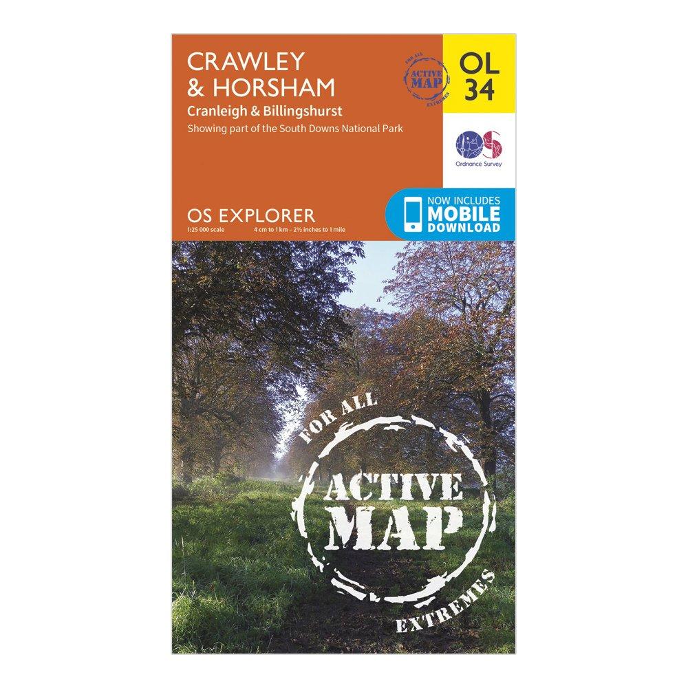
Ordnance Survey Explorer Ol 34 Active D Crawley & Horsham Map - Orange, Orange
Detailed and easy to read map from Ordnance SurveyScale: 1:25,000Covers Horsham, Cranleigh, Billinghurst, Low Weald, the western area of High Weald, the River Ouse, River Arun and River AdurIncludes mobile download of map for use on your smartphoneShows tourist information points, popular sites, viewpoints,...
Ordnance Survey Explorer Ol 34 Crawley & Horsham Map - Orange, Orange
FeaturesSussex Border PathGreensand WayWey-South PathWorth Way (West Sussex)Downs LinkHigh Weald Landscape TrailSurreyWest SussexCrawleyHorsham1:25 000 scale (4 cm to 1 km - 2.5 inches to 1 mile) This map comes with a digital version which you can download to your smartphone or tablet