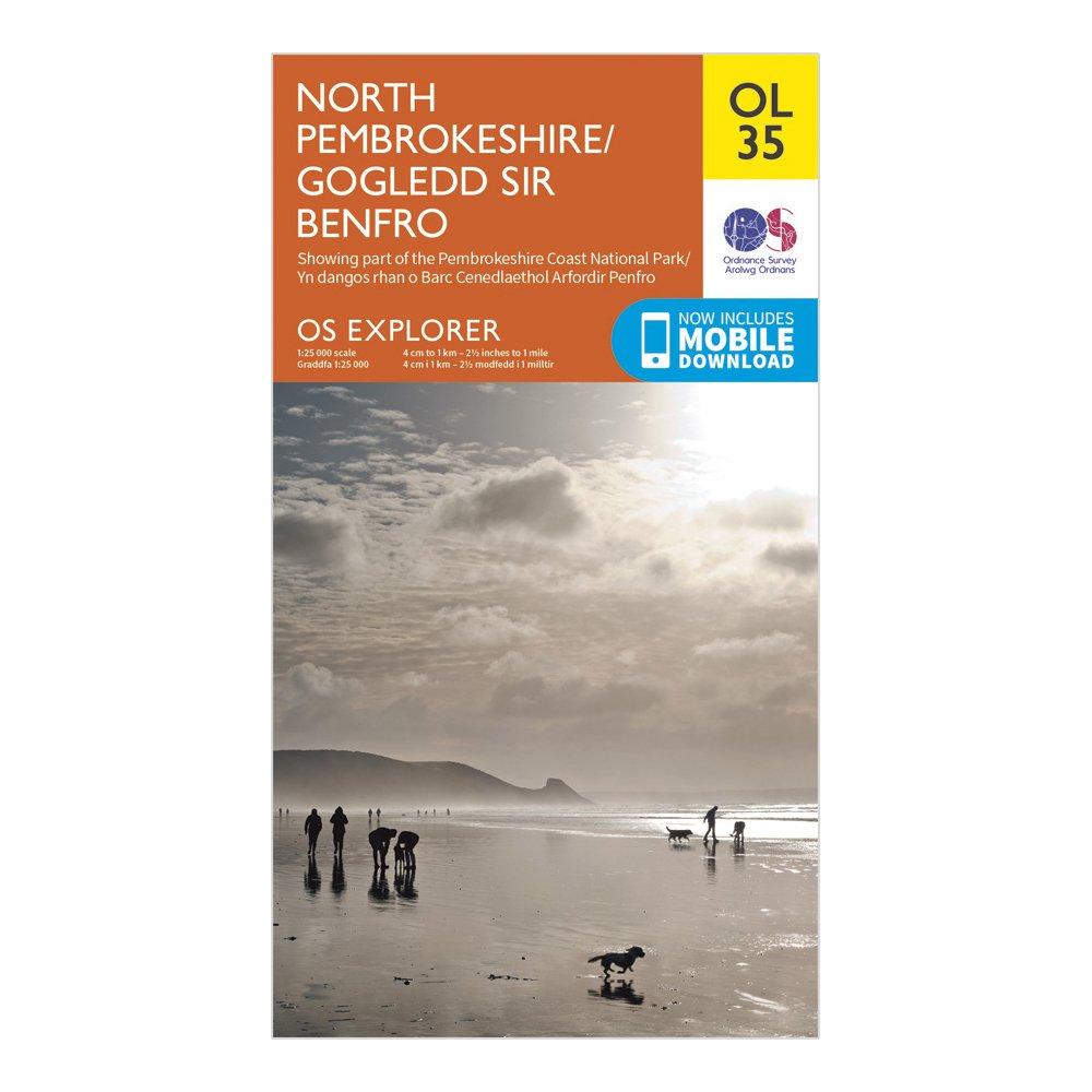
Ordnance Survey Explorer Ol 35 North Pembrokeshire Map - Orange, Orange
Detailed and informative explorer map of North Pembrokeshire from Ordnance SurveyCovers St Davids, Cardigan, Goodwick and FishguardScale: 1:25000Now includes Mobile DownloadRecommended activity - walking / hiking / cycling / navigation / expedition
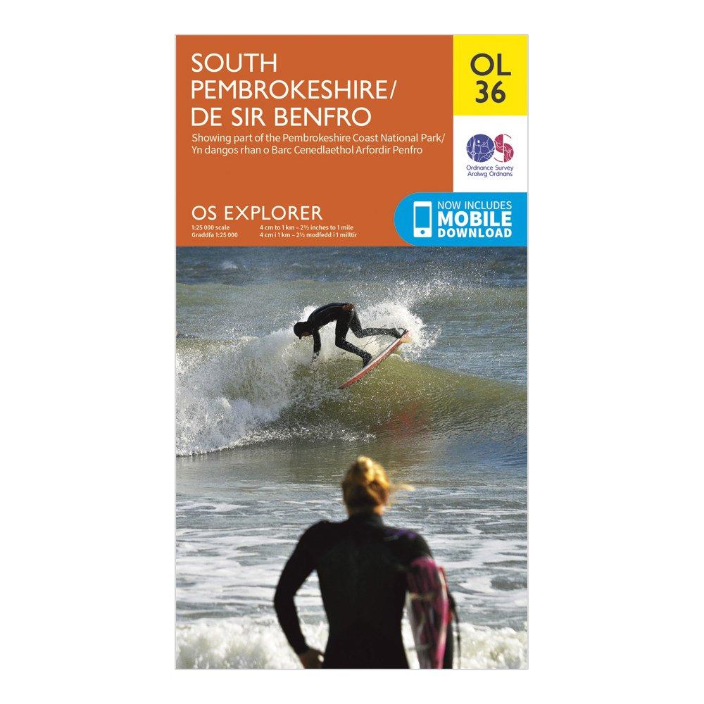
Ordnance Survey Explorer Ol 36 South Pembrokeshire Map - Orange, Orange
Detailed and informative explorer map of South Pembrokeshire from Ordnance SurveyCovers The Pembrokeshire Coast National Path, Knights' Way, Tenby, Milford Haven, Pembroke and HaverfordwestScale: 1:25000Now includes Mobile DownloadRecommended activity - walking / hiking / cycling / navigation / expedition
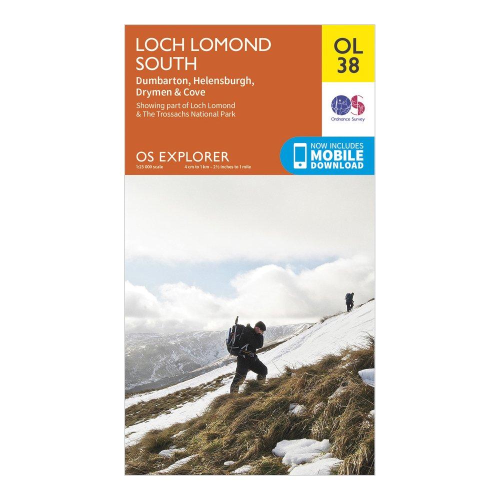
Ordnance Survey Explorer Ol38 Loch Lomond South Map With Digital Version, D
Providing complete GB coverage, the OS Explorer map series details information essential in the great outdoors, including youth hostels, pubs and visitor information. Rights of way, fences, permissive paths and bridleways are clearly shown, ensuring you have the best information to get the most out of...
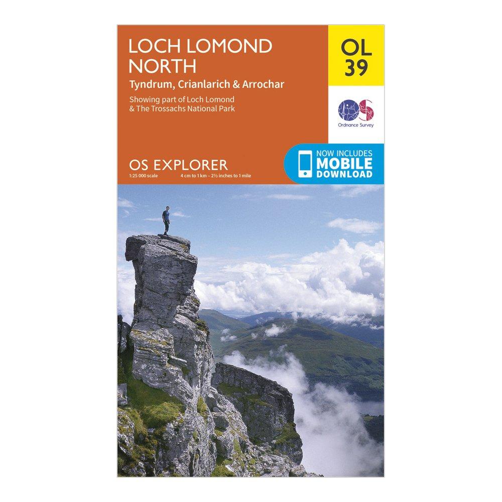
Ordnance Survey Explorer Ol 39 Loch Lomond North Map, D
FeaturesLoch Lomond & The Trossachs National ParkWest Highland WayWest Highland Way (Long Distance Route)CentralStrathclydeCrianlarich1:25 000 scale (4 cm to 1 km - 2.5 inches to 1 mile)This map comes with a digital version which you can download to your smartphone or tablet.
Ordnance Survey Explorer Ol 3 Active D Meon Valley Map - Orange, Orange
Detailed and easy to read map from Ordnance SurveyScale: 1:25,000Covers Portsmouth, Gosport, Fareham, Waterlooville, Droxford, Owslebury, part of the South Downs Trail, Solent Way, Kings Way, Pilgrim's Trail and Wayfarers WalkIncludes mobile download of map for use on your smartphoneShows tourist information...

Ordnance Survey Explorer Ol 3 Meon Valley Map, D
Detailed and informative explorer map of Meon Valley from Ordnance SurveyCovers Fareham, Portsmouth, Waterlooville, Droxford, Owslebury and the south westerly section of the South Downs National ParkScale: 1:25000Now includes Mobile DownloadRecommended activity - walking / hiking / cycling / navigation...
Ordnance Survey Explorer Ol 40 The Broads Map - Orange, Orange
FeaturesWeavers' WayAngles WaySuffolk Coast PathBure Valley PathBoudica's WayBecclesGreat YarmouthLowestoftNorwichNorfolkSuffolkNorfolk Broads1:25 000 scale (4 cm to 1 km - 2.5 inches to 1 mile)This map comes with a digital version which you can download to your smartphone or tablet
Ordnance Survey Explorer Ol 41 Active D Forest Of Bowland Map, D
Detailed and easy to read map from Ordnance SurveyScale: 1:25,000Covers the Forest of Bowland, Yorkshire Dales National Park, Clitheroe, Settle, Lancaster, Ribble Way, Wyre Way, Lune Valley Ramble and Pendle WayIncludes mobile download of map for use on your smartphoneShows tourist information points,...
Ordnance Survey Explorer Ol 41 Forest Of Bowland Map - Orange, Orange
Detailed and informative explorer map of the Forest of Bowland from Ordnance SurveyCovers Ribble Way, Wyre Way, Lune Valley Ramble, Pendle Way, and the towns of Clitheroe, Settle and LancasterScale: 1:25000Now includes Mobile DownloadRecommended activity - walking / hiking / cycling / navigation / expedition
Ordnance Survey Explorer Ol 42 Kielder Water & Forest Map - Orange, Orange
FeaturesPennine Way (National Trail)E2 (European Long Distance Route)BordersNorthumberland1:25 000 scale (4 cm to 1 km - 2.5 inches to 1 mile)This map comes with a digital version which you can download to your smartphone or tablet.
Ordnance Survey Explorer Ol 43 Hadrian's Wall Map - Orange, Orange
Detailed and informative explorer map of Hadrian's Wall from Ordnance SurveyCovers Gilsland, Corbridge, Haltwhistle, Humshaugh, Hexham, Haydon Bridge, Bardon Mill, Greenlea Lough, Houseteads, Chesters Roman Fort and VindolandaScale: 1:25000Now includes Mobile DownloadRecommended activity - walking /...
Ordnance Survey Explorer Ol 45 Active D The Cotswolds Map - Orange, Orange
Detailed and easy to read map from Ordnance SurveyScale: 1:25,000Covers the Cotswold Hills, Wychwood Community Forest, the Cotswold Way, Stow-on-the-Wold, Burford, Cirencester and Chipping CampdenIncludes mobile download of map for use on your smartphoneShows tourist information points, popular sites,...
Ordnance Survey Explorer Ol45 The Cotswold Map With Digital Version, D
Providing complete GB coverage, the OS Explorer map series details information essential in the great outdoors, including youth hostels, pubs and visitor information. Rights of way, fences, permissive paths and bridleways are clearly shown, ensuring you have the best information to get the most out of...
Ordnance Survey Explorer Ol 46 The Trossachs Map, D
FeaturesLoch Lomond & The Trossachs National ParkWest Highland WayWest Highland Way (Long Distance Route)CentralCallander1:25 000 scale (4 cm to 1 km - 2.5 inches to 1 mile)This map comes with a digital version which you can download to your smartphone or tablet.
Ordnance Survey Explorer Ol 47 Crieff, Comrie & Glen Artney Map - Orange, Orange
Tayside1:25 000 scale (4 cm to 1 km - 2.5 inches to 1 mile)This map comes with a digital version which you can download to your smartphone or tablet.