Providing complete GB coverage, the OS Explorer map series details information essential in the great outdoors, including youth hostels, pubs and visitor information. Rights of way, fences, permissive paths and bridleways are clearly shown, ensuring you have the best information to get the most out of...
Providing complete GB coverage, the OS Explorer map series details information essential in the great outdoors, including youth hostels, pubs and visitor information. Rights of way, fences, permissive paths and bridleways are clearly shown, ensuring you have the best information to get the most out of...
Providing complete GB coverage, the OS Explorer map series details information essential in the great outdoors, including youth hostels, pubs and visitor information. Rights of way, fences, permissive paths and bridleways are clearly shown, ensuring you have the best information to get the most out of...
Ordnance Survey Explorer Active Ol9 Exmoor Map With Digital Version, D
Providing complete GB coverage, the OS Explorer map series details information essential in the great outdoors, including youth hostels, pubs and visitor information. Rights of way, fences, permissive paths and bridleways are clearly shown, ensuring you have the best information to get the most out of...
Ordnance Survey Explorer Ol10 Arundel & Pulborough Map With Digital Version - Orange, Orange
Providing complete GB coverage, the OS Explorer map series details information essential in the great outdoors, including youth hostels, pubs and visitor information. Rights of way, fences, permissive paths and bridleways are clearly shown, ensuring you have the best information to get the most...
Ordnance Survey Explorer Ol11 Brighton & Hove Map With Digital Version - Orange, Orange
Providing complete GB coverage, the OS Explorer map series details information essential in the great outdoors, including youth hostels, pubs and visitor information. Rights of way, fences, permissive paths and bridleways are clearly shown, ensuring you have the best information to get the most out...
Ordnance Survey Explorer Ol 12 Brecon Beacons National Park - Western & Central Areas Map, D
FeaturesRhymney Valley Ridgeway FootpathUsk Valley WalkTaff TrailSt Illtyd's WalkBrecon/AberhondduMerthyr Tydfil/Merthyr TudfulBrecon Beacons National ParkMid GlamorganWest GlamorganDyfedPowys1:25 000 scale (4 cm to 1 km - 2.5 inches to 1 mile)This map comes with a digital version which you can download...
Ordnance Survey Explorer Ol 13 Brecon Beacons National Park - Eastern Area Map, D
FeaturesOffa's Dyke PathWye Valley Walk (Guide Book)Rhymney Valley Ridgeway FootpathUsk Valley WalkSirhowy Valley WalkThree Castles WalkTaff TrailEbbw Valley WalkMarches Way (Delete from mapping)Offa's Dyke Path (National Trail)Abergavenny/Y FenniHay-on-WyeBrecon Beacons National ParkPowysHereford and...
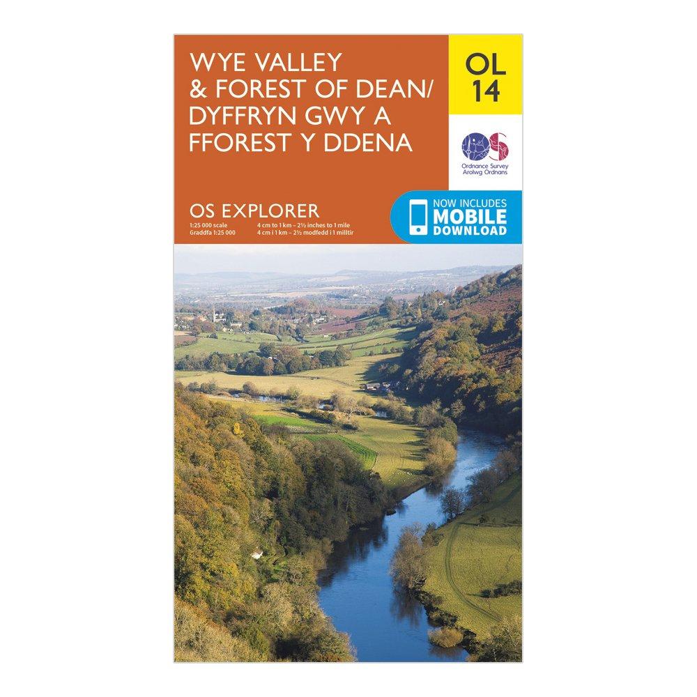
Ordnance Survey Explorer Ol 14 Wye Valley & Forest Of Dean Map - Orange, Orange
Detailed and informative explorer map of the Wye Valley and Forest of Dean from Ordnance SurveyCovers Monmouth, Ross-on-Wye, Chepstow, the Forest of Dean and the Wye ValleyScale: 1:25000Now includes Mobile DownloadRecommended activity - walking / hiking / cycling / navigation / expedition
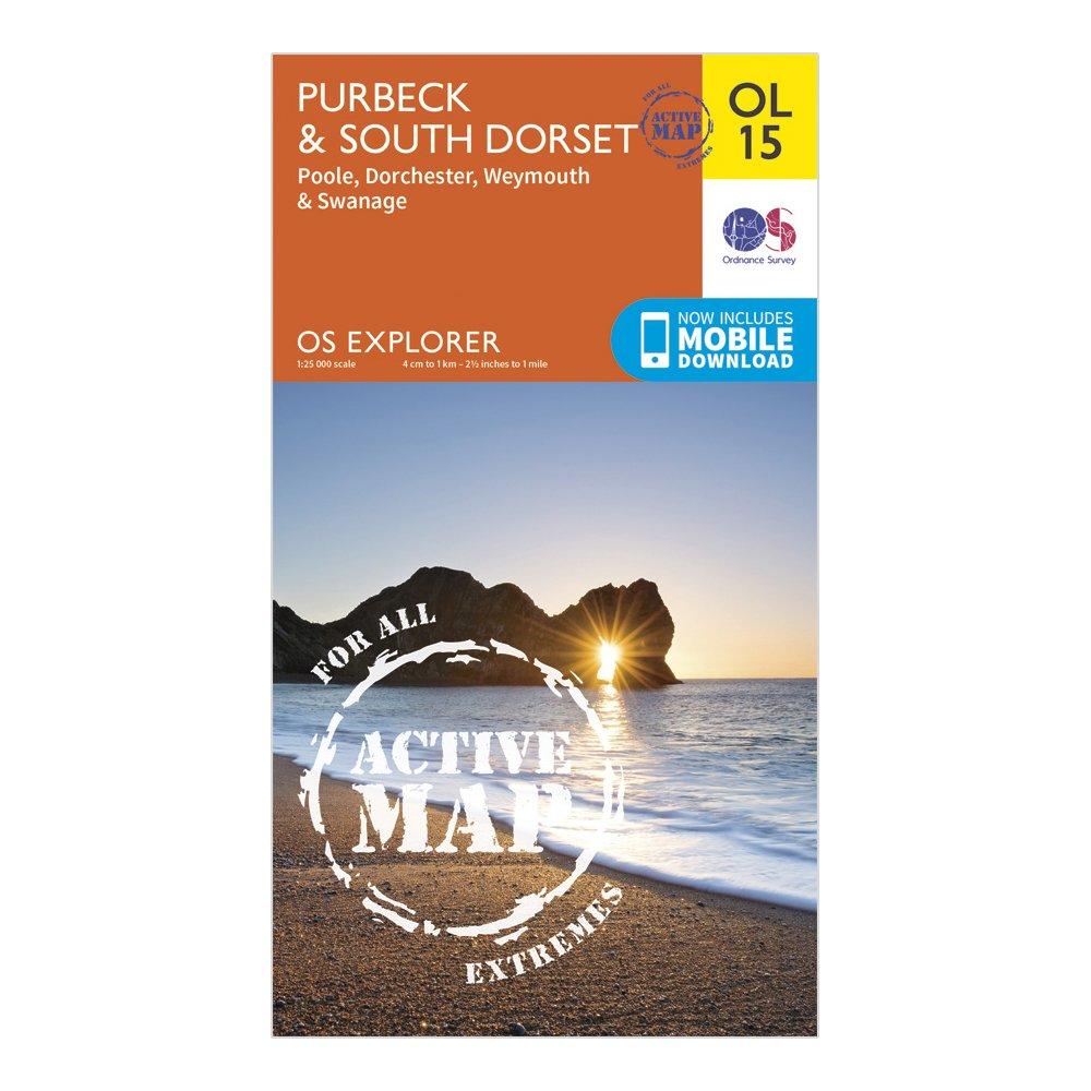
Ordnance Survey Explorer Ol 15 Active D Purbeck & South Dorset Map, D
Detailed and easy to read map from Ordnance SurveyScale: 1:25,000Covers the Cotswold Hills, Wychwood Community Forest, the Cotswold Way, Poole, Dorchester, Weymouth and SwanageIncludes mobile download of map for use on your smartphoneShows tourist information points, popular sites, viewpoints, places...
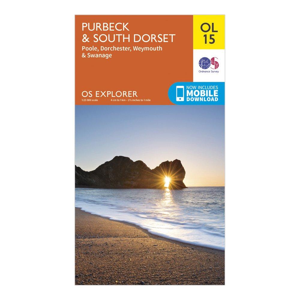
Ordnance Survey Explorer Ol 15 Purbeck And South Dorset - Orange, Orange
FeaturesDetailed and easy to read map from Ordnance SurveyScale: 1:25,000Includes mobile download of map for use on your smartphoneShows tourist information points, popular sites, viewpoints, places of interest and rights of way information
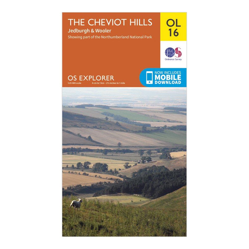
Ordnance Survey Explorer Ol 16 The Cheviot Hills Map, D
FeaturesPennine WaySt Cuthbert's WayBorders Abbeys WayPennine Way (National Trail)E2 (European Long Distance Route)JedburghNorthumberlandBorders1:25 000 scale (4 cm to 1 km - 2.5 inches to 1 mile)This map comes with a digital version which you can download to your smartphone or tablet.
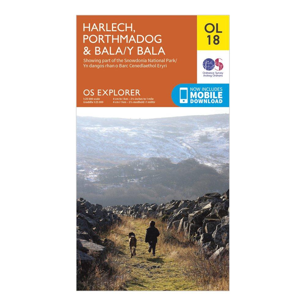
Ordnance Survey Explorer Ol 18 Harlech, Porthmadog & Bala Map - Orange, Orange
FeaturesDolgellauPorthmadogY BalaSnowdonia National ParkGwyneddClwyd1:25 000 scale (4 cm to 1 km - 2.5 inches to 1 mile)This map comes with a digital version which you can download to your smartphone or tablet.
Providing complete GB coverage, the OS Explorer map series details information essential in the great outdoors, including youth hostels, pubs and visitor information. Rights of way, fences, permissive paths and bridleways are clearly shown, ensuring you have the best information to get the most out of...
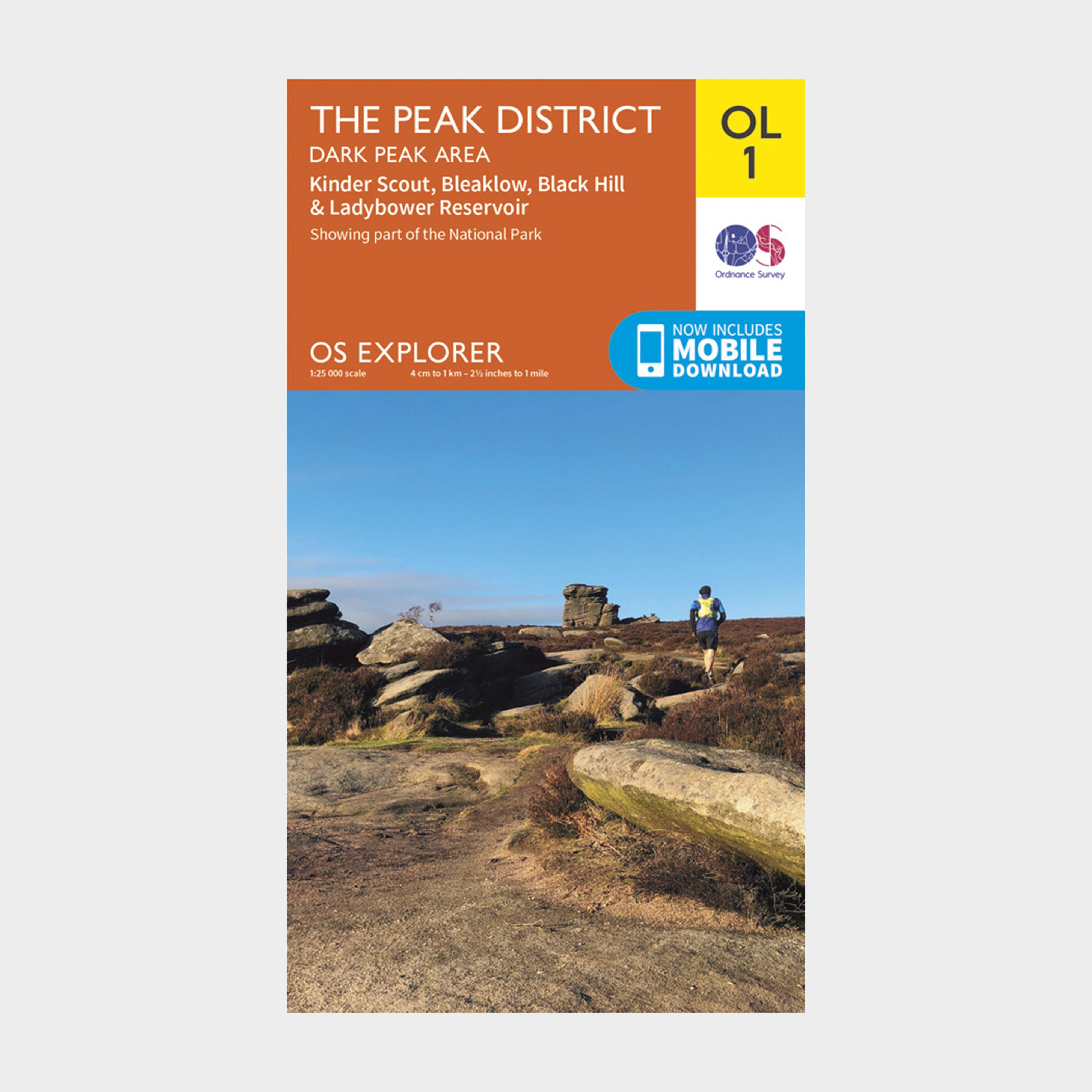
Ordnance Survey Explorer Ol1 The Peak District - Dark Peak Area With Digital Version, D
Providing complete GB coverage, the OS Explorer map series details information essential in the great outdoors, including youth hostels, pubs and visitor information. Rights of way, fences, permissive paths and bridleways are clearly shown, ensuring you have the best information to get the most out of...