Providing complete GB coverage, the OS Explorer map series details information essential in the great outdoors, including youth hostels, pubs and visitor information. Rights of way, fences, permissive paths and bridleways are clearly shown, ensuring you have the best information to get the most out of...
Ordnance Survey Explorer Active 483 Dornoch & Tain Map With Digital Version - Orange, Orange
Providing complete GB coverage, the OS Explorer map series details information essential in the great outdoors, including youth hostels, pubs and visitor information. Rights of way, fences, permissive paths and bridleways are clearly shown, ensuring you have the best information to get the most out of...

Ordnance Survey Explorer Active Ol 11 Brighton & Hove Map - Orange, Orange
FeaturesSouth DownsSouth Downs WaySussex Border PathVanguard WayDowns LinkMonarch's Way (Book 3)South Downs Way (National Trail)East SussexWest SussexBrighton and HoveLewesNewhavenShoreham-by-Sea1:25 000 scale (4 cm to 1 km - 2.5 inches to 1 mile)This map comes with a digital version which you can download...
FeaturesRhymney Valley Ridgeway FootpathUsk Valley WalkTaff TrailSt Illtyd's WalkBrecon/AberhondduMerthyr Tydfil/Merthyr TudfulBrecon Beacons National ParkMid GlamorganWest GlamorganDyfedPowys1:25 000 scale (4 cm to 1 km - 2.5 inches to 1 mile)This map comes with a digital version which you can download...
Providing complete GB coverage, the OS Explorer map series details information essential in the great outdoors, including youth hostels, pubs and visitor information. Rights of way, fences, permissive paths and bridleways are clearly shown, ensuring you have the best information to get the most...
Providing complete GB coverage, the OS Explorer map series details information essential in the great outdoors, including youth hostels, pubs and visitor information. Rights of way, fences, permissive paths and bridleways are clearly shown, ensuring you have the best information to get the most out of...
Ordnance Survey Explorer Active Ol1 The Peak District - Dark Peak Area Map - Orange, Orange
FeaturesPennine WayPennine BridlewayGritstone TrailLimestone WayMiddlewood WayCheshire Ring Canal WalkKirklees WayDearne WayHolme Valley Circular WalkOldham WayGoyt WayLongdendale TrailCown Edge WayMedlock Valley WayStandedge TrailCrompton CircuitHills and Hamlets WalkMidshires WayDove Valley TrailBarnsley...
Ordnance Survey Explorer Active Ol21 South Pennines Map With Digital Version - Orange, Orange
Providing complete GB coverage, the OS Explorer map series details information essential in the great outdoors, including youth hostels, pubs and visitor information. Rights of way, fences, permissive paths and bridleways are clearly shown, ensuring you have the best information to get the most out of...
Ordnance Survey Explorer Active Ol 22 New Forest Map, D
FeaturesIsle of Wight CPCoastal PathSolent WayTest WayAvon Valley PathItchen WayFerndown, Stour and Forest TrailStour Valley WayCastleman TrailwayBournemouthChristchurchEastleighLymingtonRingwoodSouthamptonDorsetNew ForestWiltshireHampshire1:25 000 scale (4 cm to 1 km - 2.5 inches to 1 mile)Active weatherproof...
Ordnance Survey Explorer Active Ol 23 Cadair Idris & Llyn Tegid Map - Orange, Orange
Providing complete GB coverage, the OS Explorer map series details information essential in the great outdoors, including youth hostels, pubs and visitor information. Rights of way, fences, permissive paths and bridleways are clearly shown, ensuring you have the best information to get the most out of...
Ordnance Survey Explorer Active Ol 25 Eastbourne & Beachy Head Map - Orange, Orange
FeaturesSouth DownsSouth Downs WayWealdwayVanguard WayCuckoo Trail1066 Country WalkSouth Downs Way (National Trail)East SussexEastbourneNewhavenUckfieldActive weatherproof map1:25 000 scale (4 cm to 1 km - 2.5 inches to 1 mile)This map comes with a digital version which you can download to your smartphone...
Ordnance Survey Explorer Active Ol26 North York Moors - Western Area Map, D
FeaturesCleveland WayEbor WayCleveland StreetTeesdale WayTees Link (Strategic Link to be shown at 50k)Marton West Beck TrailCleveland Way (National Trail)E2 (European Long Distance Route)MiddlesbroughNorth YorkshireNorth York Moors National ParkClevelandActive weatherproof map1:25 000 scale (4 cm to...
Ordnance Survey Explorer Active Ol 28 Dartmoor Map, D
FeaturesTwo Moors Way (Guide Book)Templer WayTarka TrailWest Devon WayErme Plym TrailTwo Castles TrailDartmoor WayTaw-Teign LinkOkehamptonTavistockDevonDartmoor National ParkWeatherproof active map1:25 000 scale (4 cm to 1 km - 2.5 inches to 1 mile)This map comes with a digital version which you can...
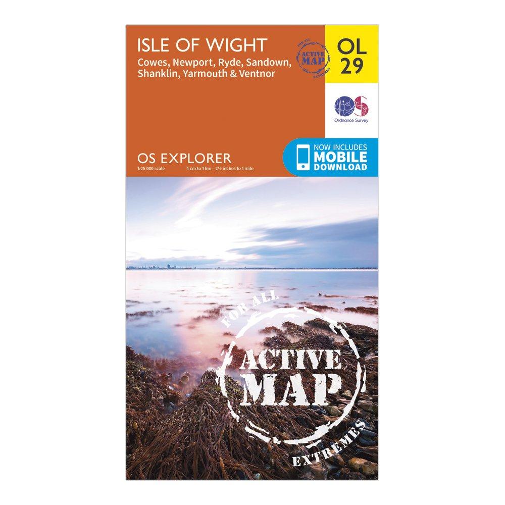
Ordnance Survey Explorer Active Ol 29 Isle Of Wight Map - Orange, Orange
FeaturesIsle of Wight CPBembridge TrailCoastal PathFreshwater WayHamstead TrailNunwell TrailShepherds TrailStenbury TrailTennyson TrailWorsley TrailSolent WayKings WayYar River TrailCowesGosportLymingtonNewportPortsmouthRydeIsle of Wight1:25 000 scale (4 cm to 1 km - 2.5 inches to 1 mile)This map comes...
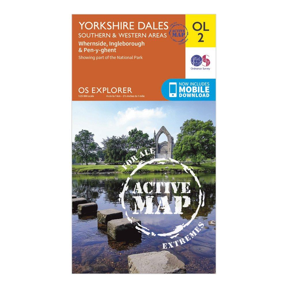
Ordnance Survey Explorer Active Ol2 Yorkshire Dales - Southern & Western Areas, D
FeaturesPennine WayDales WayDales Way (Guide Book)Ribble WayLimestone Link (Cumbria)Lune Valley RambleMillennium WayPennine Way (National Trail)E2 (European Long Distance Route)SettleSkiptonNorth YorkshireLancashireYorkshire Dales National ParkCumbria1:25 000 scale (4 cm to 1 km - 2.5 inches to 1 mile)This...