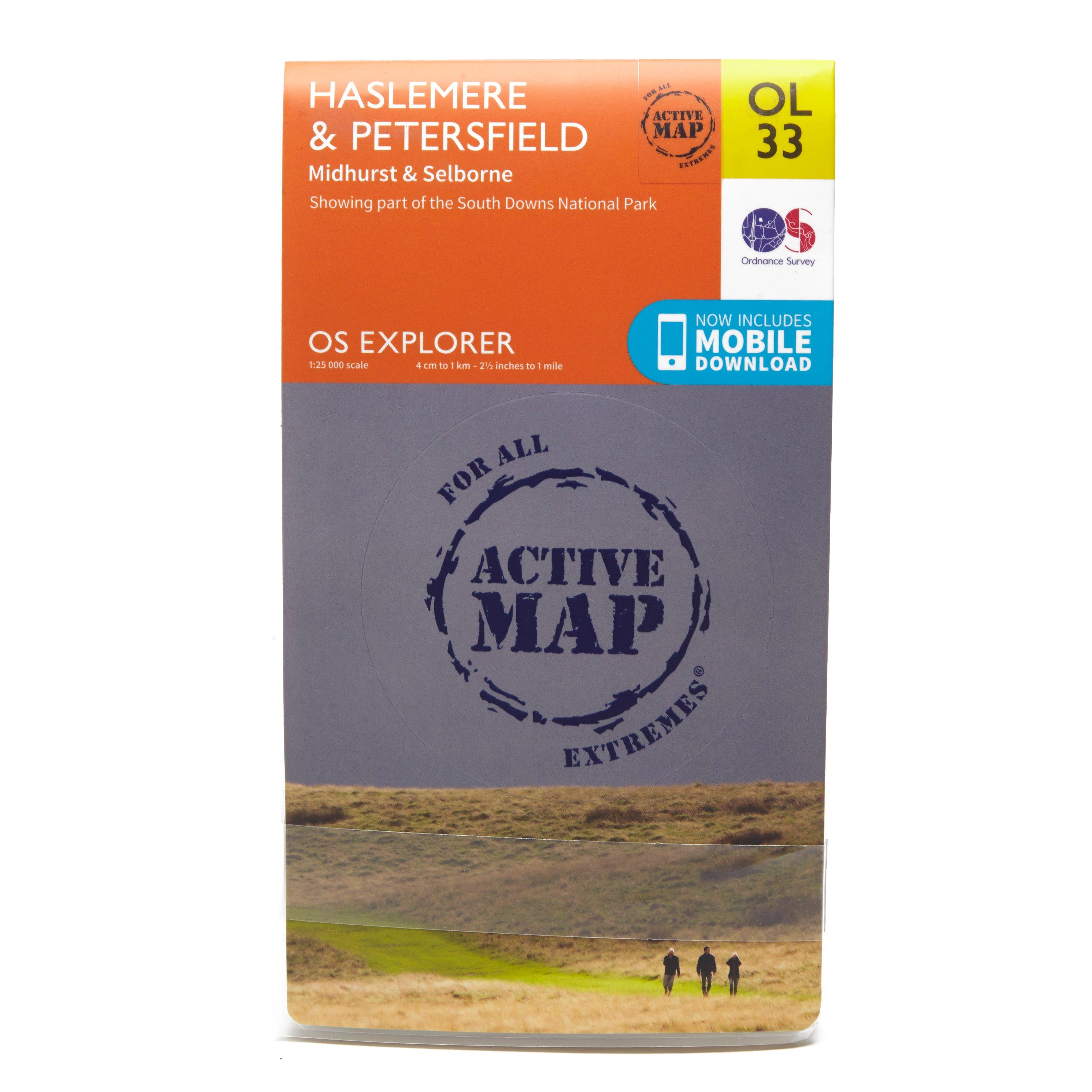
Ordnance Survey Explorer Active Ol 33 Haslemere & Petersfield Map, D
FeaturesSouth DownsSussex Border PathGreensand WayHangers WayHampshireSurreyWest SussexAltonHaslemereMidhurstPetersfield1:25 000 scale (4 cm to 1 km - 2.5 inches to 1 mile)This map comes with a digital version which you can download to your smartphone or tablet.
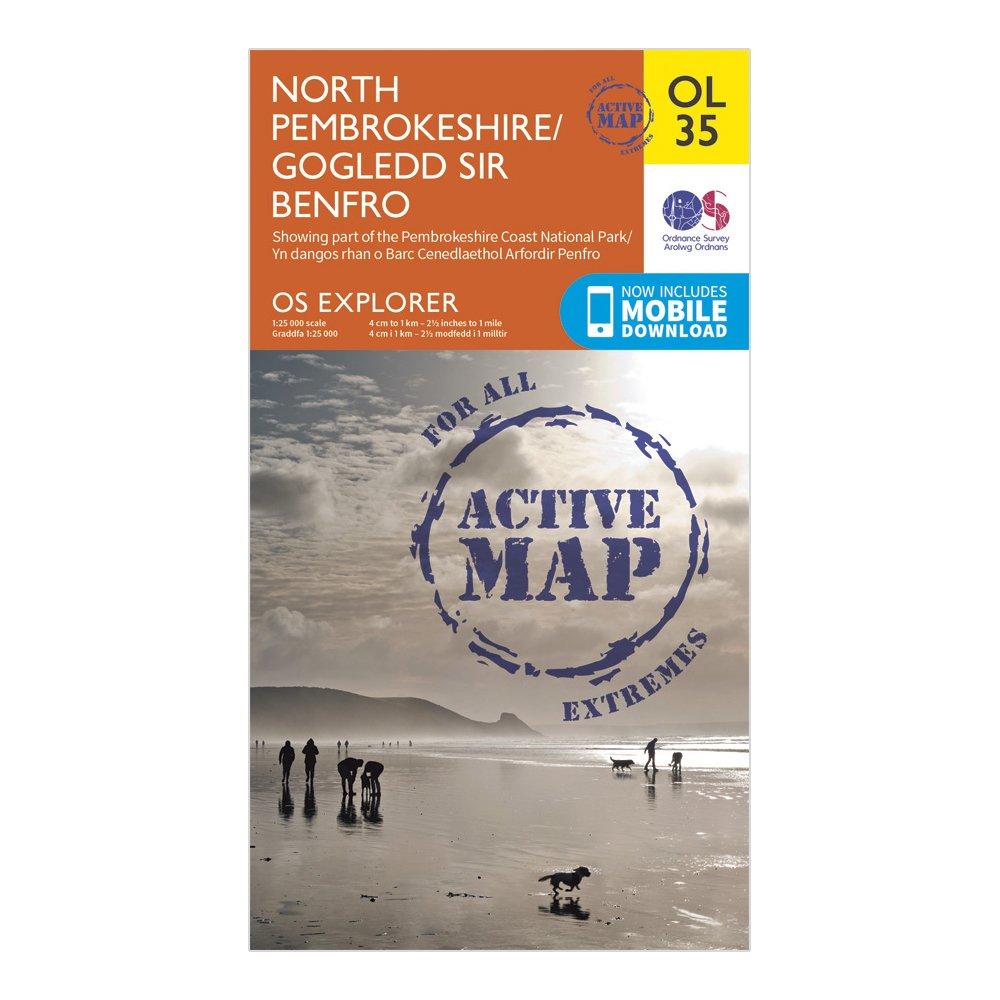
Ordnance Survey Explorer Active Ol35 North Pembrokeshire Map With Digital Version - Orange, Orange
Providing complete GB coverage, the OS Explorer map series details information essential in the great outdoors, including youth hostels, pubs and visitor information. Rights of way, fences, permissive paths and bridleways are clearly shown, ensuring you have the best information to get the most out of...
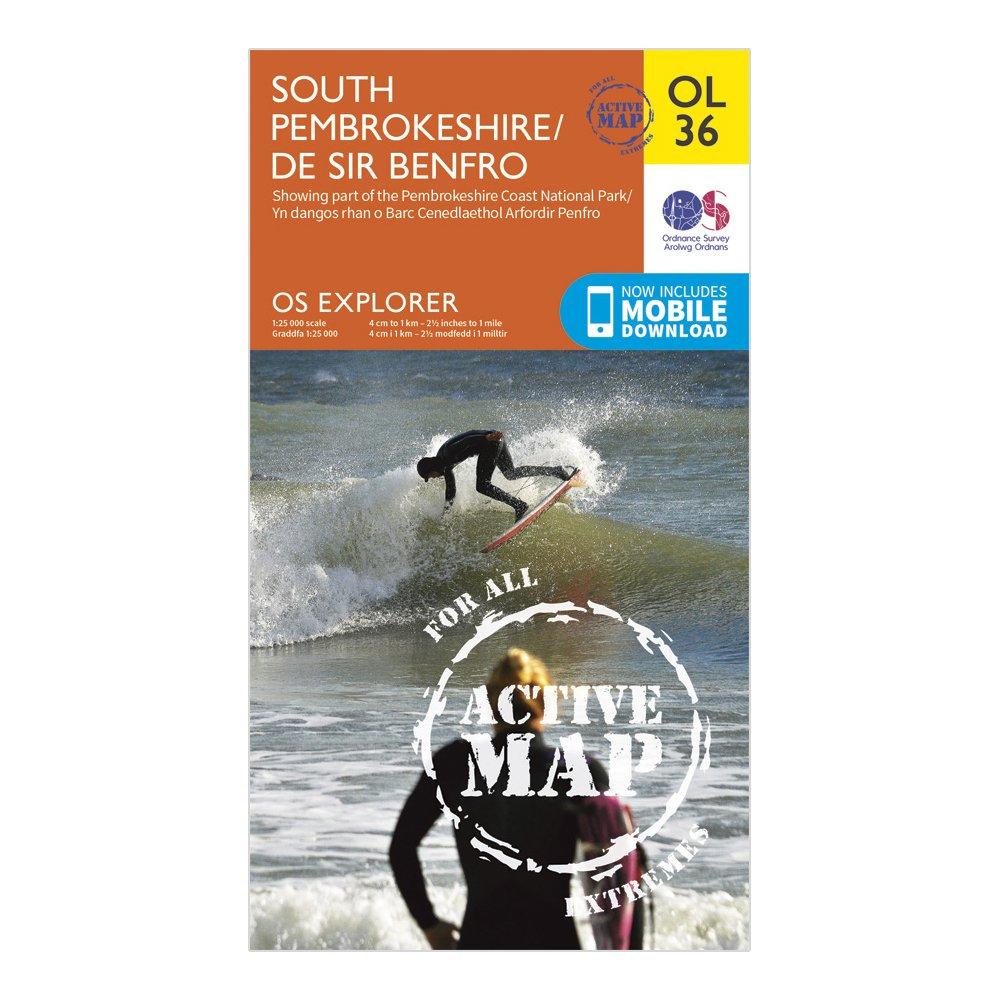
Ordnance Survey Explorer Active Ol 36 South Pembrokeshire Map - Orange, Orange
FeaturesPembrokeshire CPKnights' WayDaugleddau TrailLandsker Borderlands TrailSouth of the LandskerPembrokeshire Coast Path (National Trail)Haverfordwest/HwlfforddJohnstoneMilford Haven/AberdaugleddauTenby/Dinbych-y-pysgodPembrokeshire Coast National ParkDyfed1:25 000 scale (4 cm to 1 km - 2.5 inches...
Ordnance Survey Explorer Active Ol36 South Pembrokeshire Map With Digital Version - Orange, Orange
Providing complete GB coverage, the OS Explorer map series details information essential in the great outdoors, including youth hostels, pubs and visitor information. Rights of way, fences, permissive paths and bridleways are clearly shown, ensuring you have the best information to get the most out of...
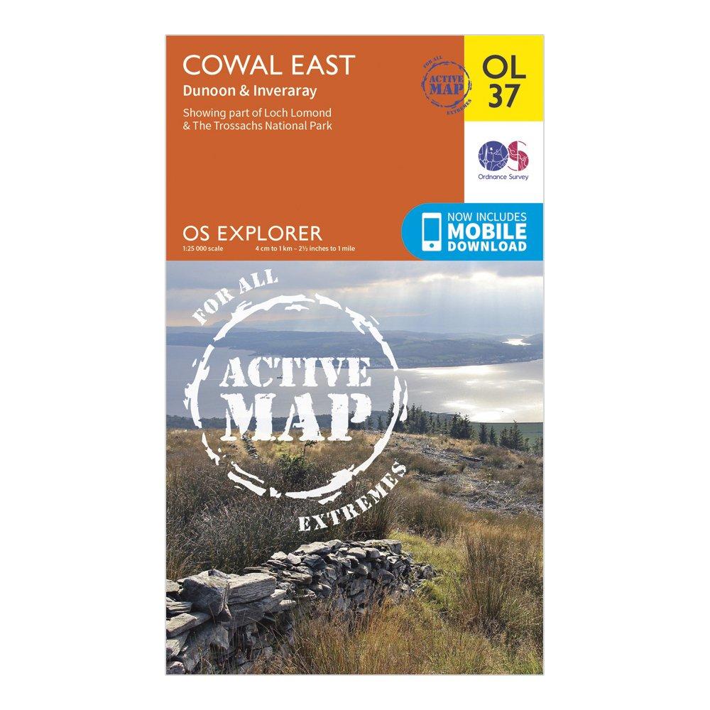
Detailed and informative explorer map of Cowal East from Ordnance SurveyCovers Loch Lomond, The Trossachs National Park, Argyll Forest Park, Kyles of Bute, Loch Fyne, Holy Loch and West Island WayScale: 1:25000Now includes Mobile DownloadActive weatherproof versionRecommended activity - walking / hiking...
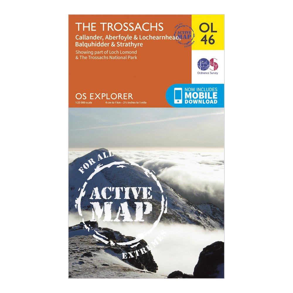
Ordnance Survey Explorer Active Ol46 The Trossachs Map With Digital Version - Orange, Orange
The essential map for outdoor activities in Kielder Water and Forest. The OS Explorer Map is the Ordnance Survey's most detailed folding map and is recommended for anyone enjoying outdoor activities including walking, horse riding and off-road cycling. This map now comes with a digital version which...
Providing complete GB coverage, the OS Explorer map series details _information essential in the great outdoors, including youth hostels, _pubs and visitor information. Rights of way, fences, permissive paths _and bridleways are clearly shown, ensuring you have the best information_ to get the most out...
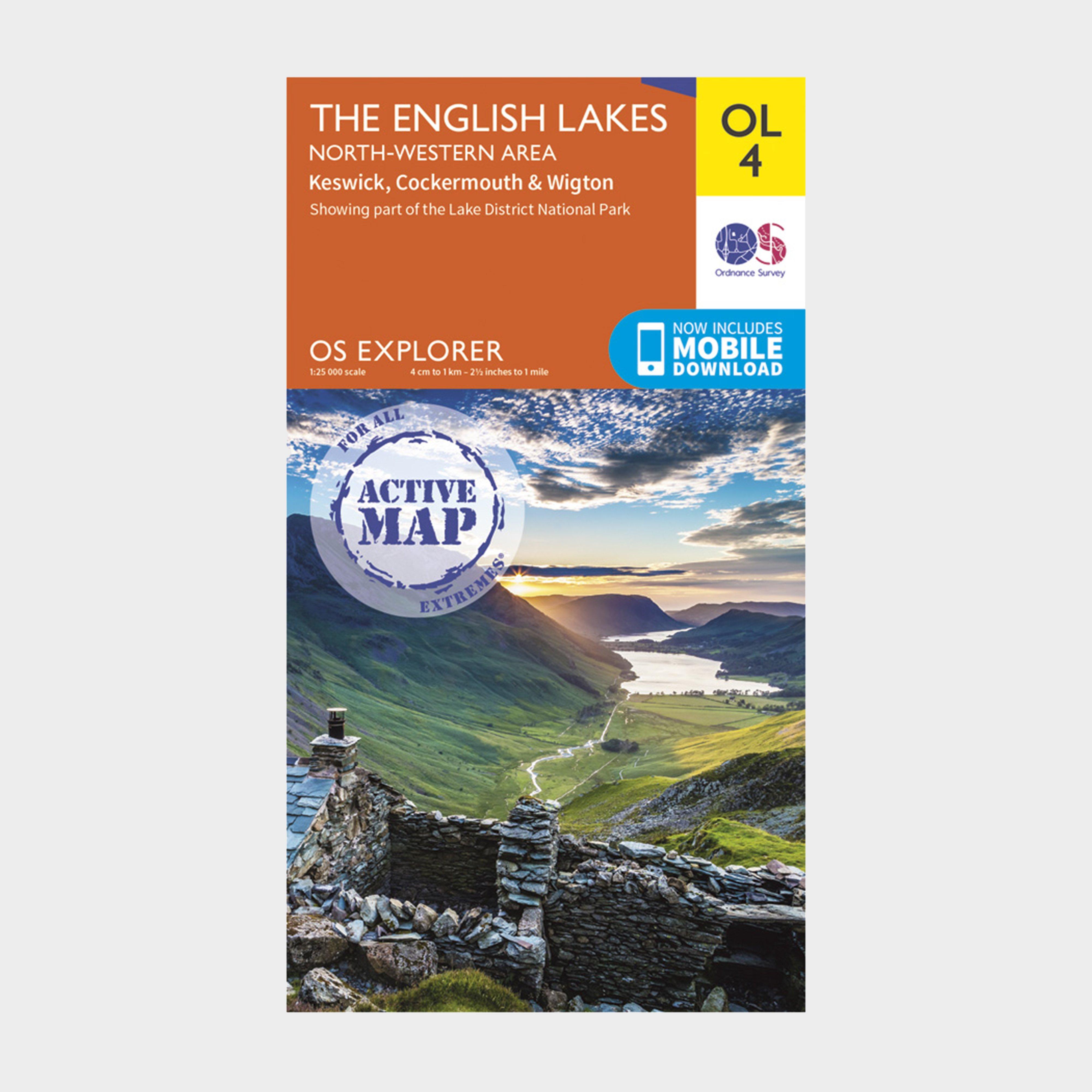
Ordnance Survey Explorer Active Ol 4 The Lake District (North-Western Area) Map - Orange, Orange
FeaturesDetailed and informative explorer map of The Lake District (North-Western area) from Ordnance SurveyCovers Solway Coast (an Area of Outstanding Natural Beauty), Wigton, Maryport, Cockermouth, Keswick, Skiddaw, Buttermere and SeathwaiteScale: 1:25000Now includes Mobile DownloadRecommended activity...
Ordnance Survey Explorer Active Ol 57 Cairn Gorm & Aviemore Map - Orange, Orange
Cairngorms National ParkBadenoch WaySpeyside Way (Long Distance Route)HighlandGrampian1:25 000 scale (4 cm to 1 km - 2.5 inches to 1 mile)Active weatherproof mapThis map comes with a digital version which you can download to your smartphone or tablet.
Providing complete GB coverage, the OS Explorer map series details information essential in the great outdoors, including youth hostels, pubs and visitor information. Rights of way, fences, permissive paths and bridleways are clearly shown, ensuring you have the best information to get the most out of...
Providing complete GB coverage, the OS Explorer map series details information essential in the great outdoors, including youth hostels, pubs and visitor information. Rights of way, fences, permissive paths and bridleways are clearly shown, ensuring you have the best information to get the most out of...
Providing complete GB coverage, the OS Explorer map series details information essential in the great outdoors, including youth hostels, pubs and visitor information. Rights of way, fences, permissive paths and bridleways are clearly shown, ensuring you have the best information to get the most out of...
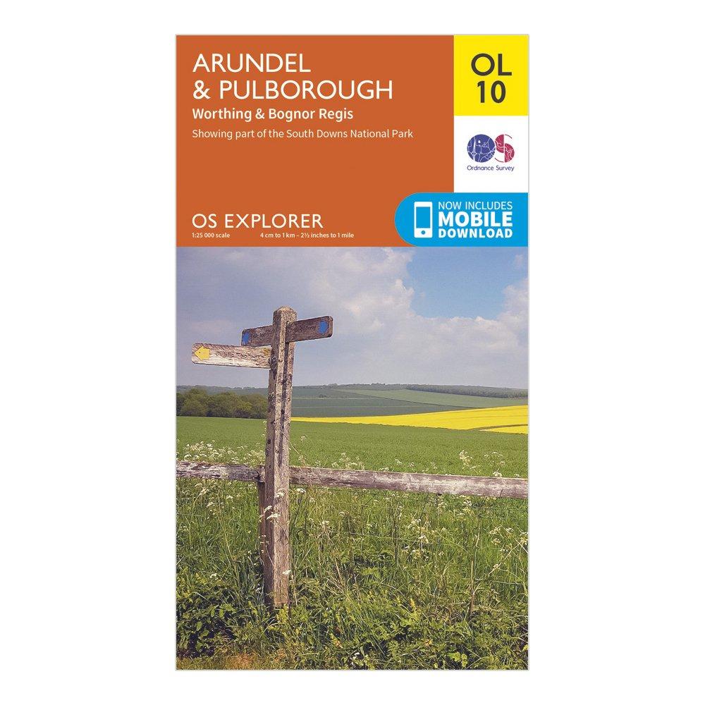
Ordnance Survey Explorer Ol10 Arundel & Pulborough Map With Digital Version - Orange, Orange
Providing complete GB coverage, the OS Explorer map series details information essential in the great outdoors, including youth hostels, pubs and visitor information. Rights of way, fences, permissive paths and bridleways are clearly shown, ensuring you have the best information to get the most...
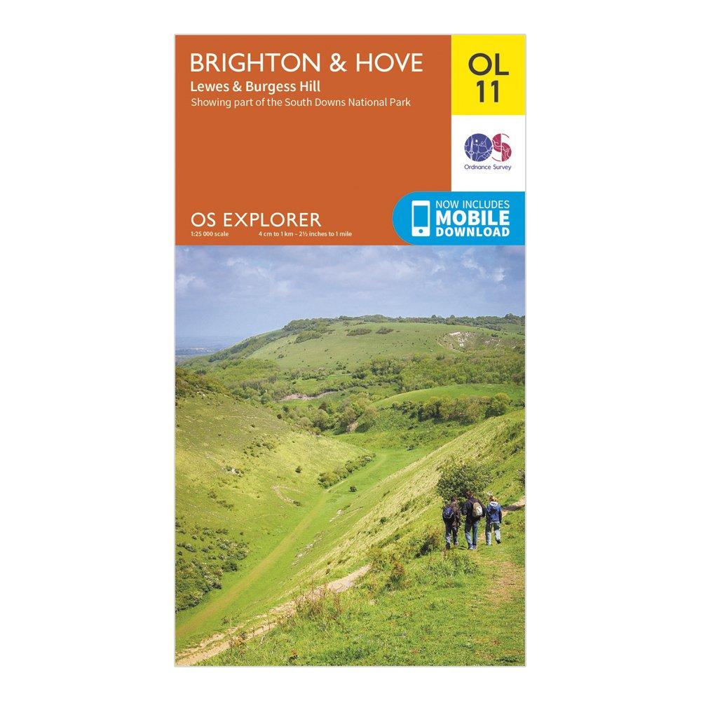
Ordnance Survey Explorer Ol11 Brighton & Hove Map With Digital Version - Orange, Orange
Providing complete GB coverage, the OS Explorer map series details information essential in the great outdoors, including youth hostels, pubs and visitor information. Rights of way, fences, permissive paths and bridleways are clearly shown, ensuring you have the best information to get the most out...
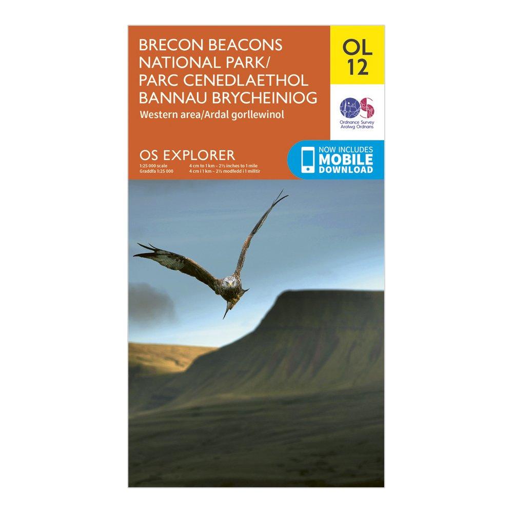
Ordnance Survey Explorer Ol 12 Brecon Beacons National Park - Western & Central Areas Map, D
FeaturesRhymney Valley Ridgeway FootpathUsk Valley WalkTaff TrailSt Illtyd's WalkBrecon/AberhondduMerthyr Tydfil/Merthyr TudfulBrecon Beacons National ParkMid GlamorganWest GlamorganDyfedPowys1:25 000 scale (4 cm to 1 km - 2.5 inches to 1 mile)This map comes with a digital version which you can download...

